UPDATE: This ride is over. You can find some additional photos and a brief recap on Steve’s Strava activity: https://www.strava.com/activities/12975542393
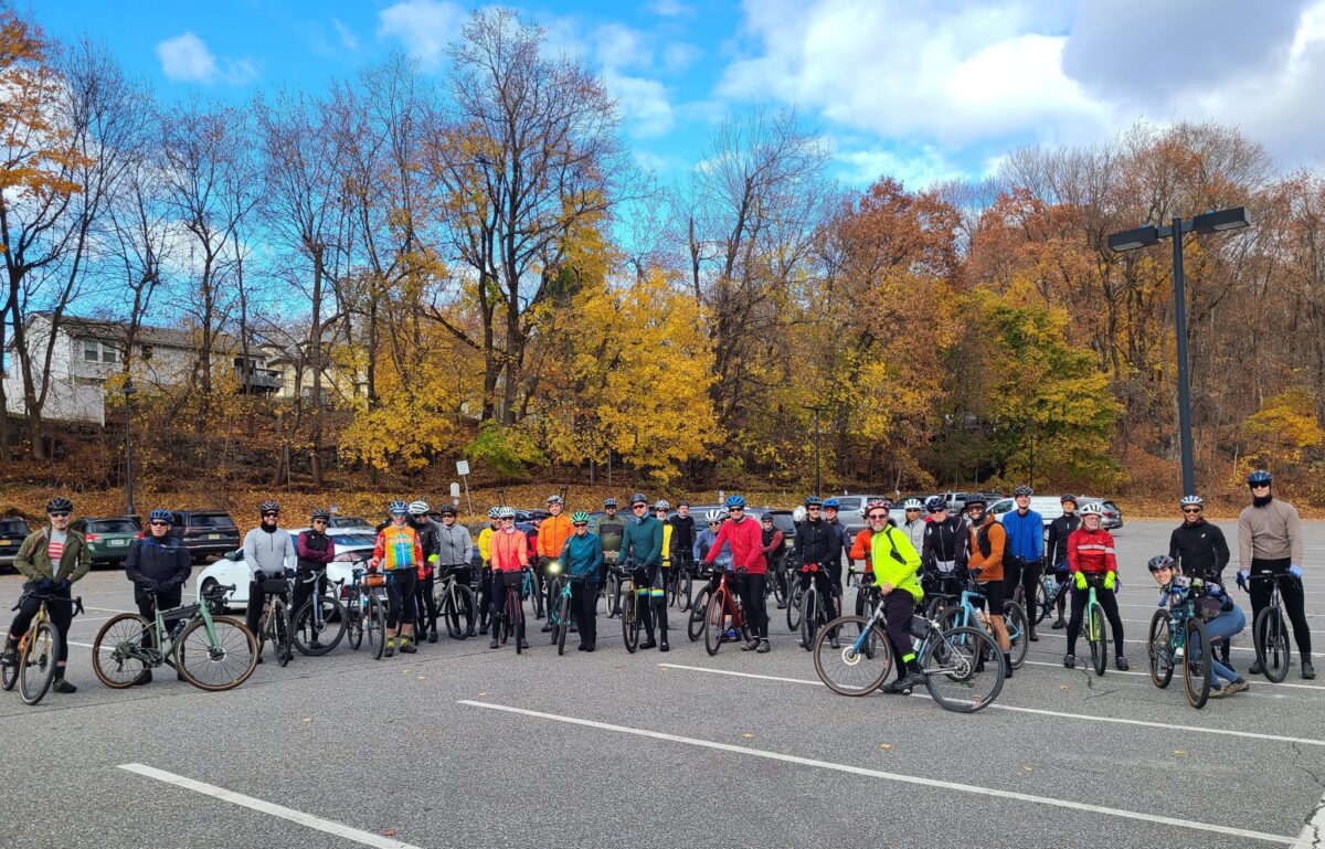
Our thanks to everyone who joined us for this fun day of riding and post-ride celebrating. Have a great Thanksgiving!
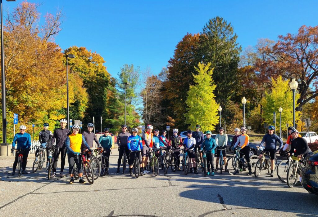
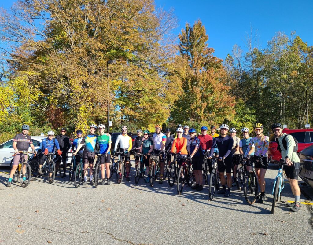
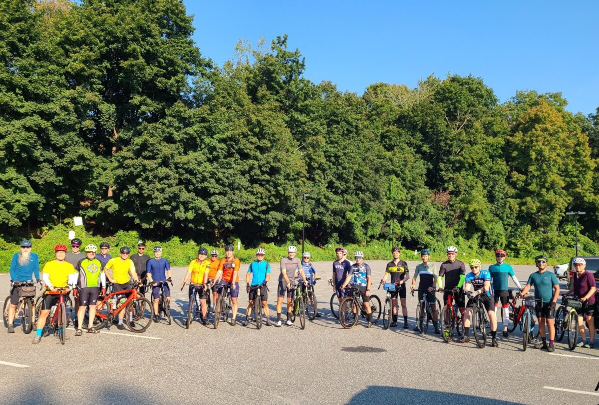
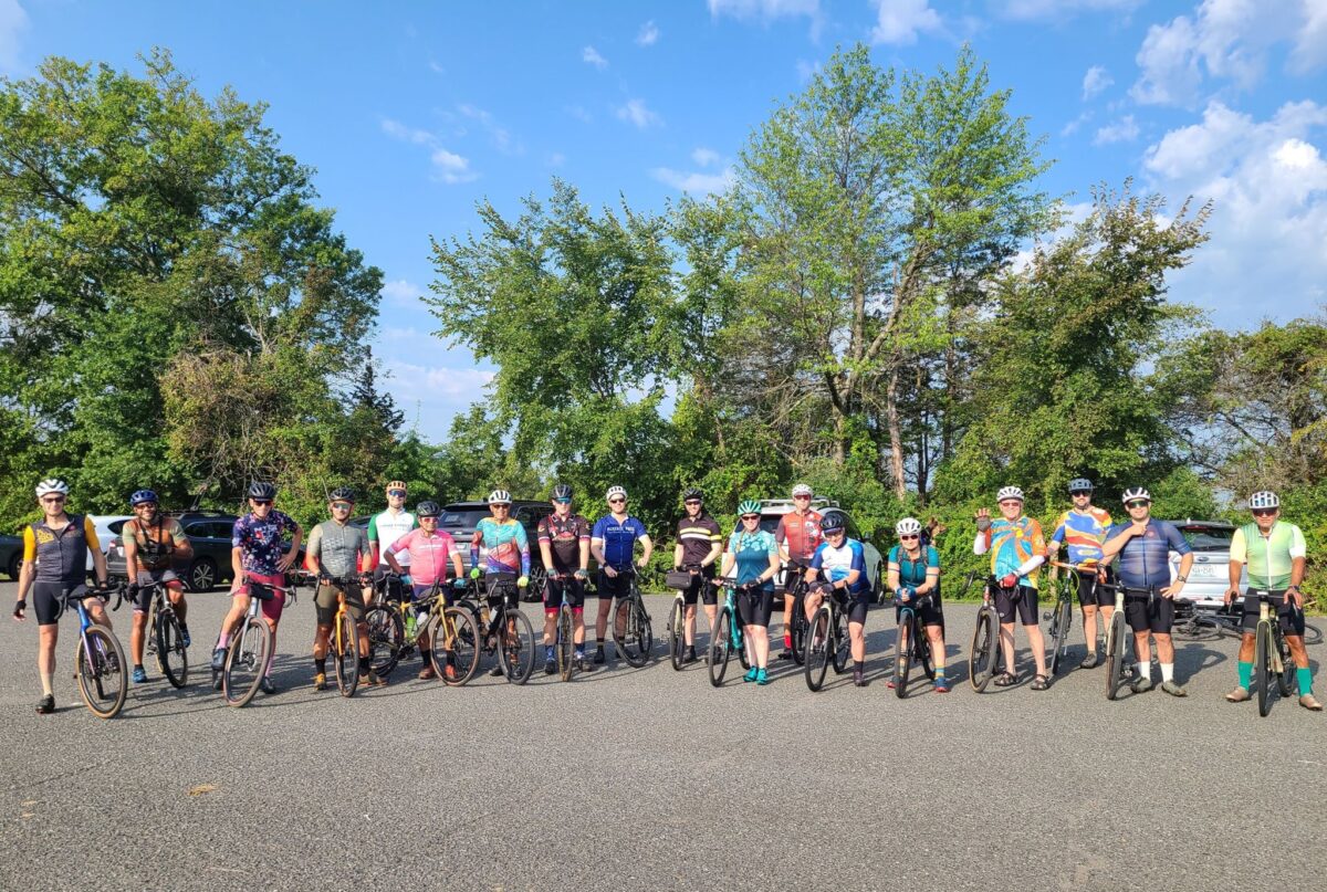
Join us for a dirt-heavy ride in Westchester county! We don’t know how many more “3-speed” rides we’ll be able to do this year, given that winter is coming fast. We will have our usual three pace groups, which will differ in speed, distance, and intensity of climbing.
RSVP Link: https://www.strava.com/clubs/513005/group_events/1843882
ROUTES:
Long (61mi, >5200ft): https://ridewithgps.com/routes/43458179
Medium (51mi, >4100ft): https://ridewithgps.com/routes/43458220
Short (42mi, >3500ft): https://ridewithgps.com/routes/43458314
DISCLAIMER: This is totally informal. You ride at your own risk and are responsible for your own safety. You are expected to be self-sufficient. We cannot guarantee the condition or safety of roads and trails. Nor can we control the behavior of other riders. This is not a supported event. We expect everyone to be an experienced cyclist who can repair a flat, carry appropriate food and hydration, and navigate independently if they lose the group.
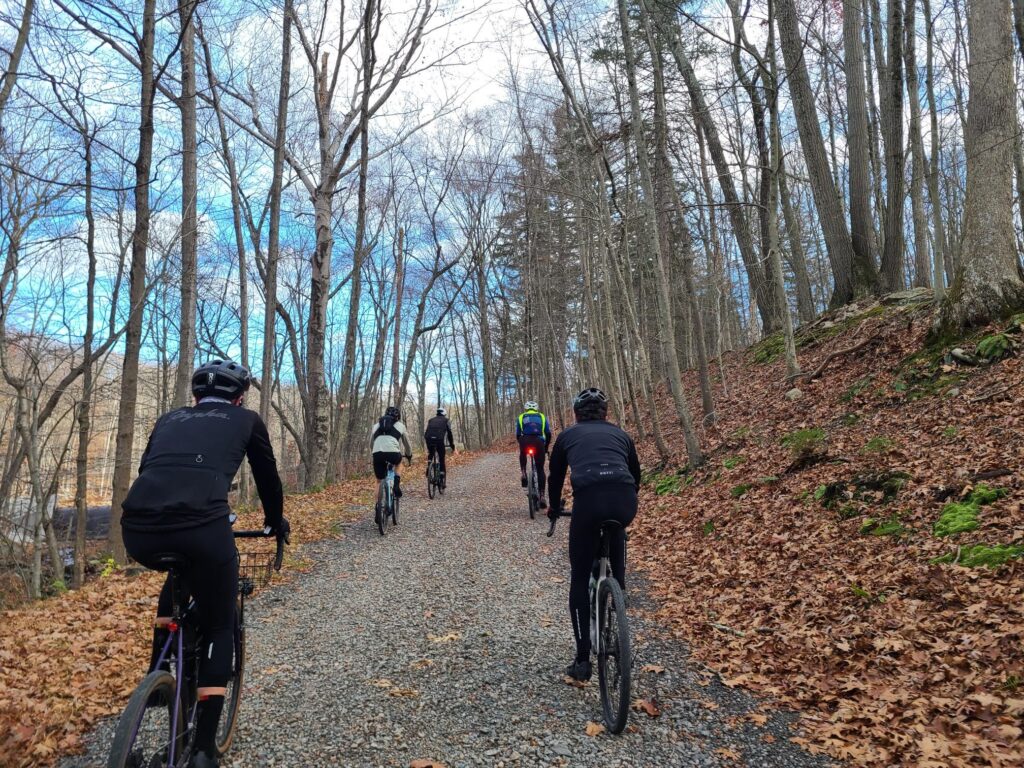
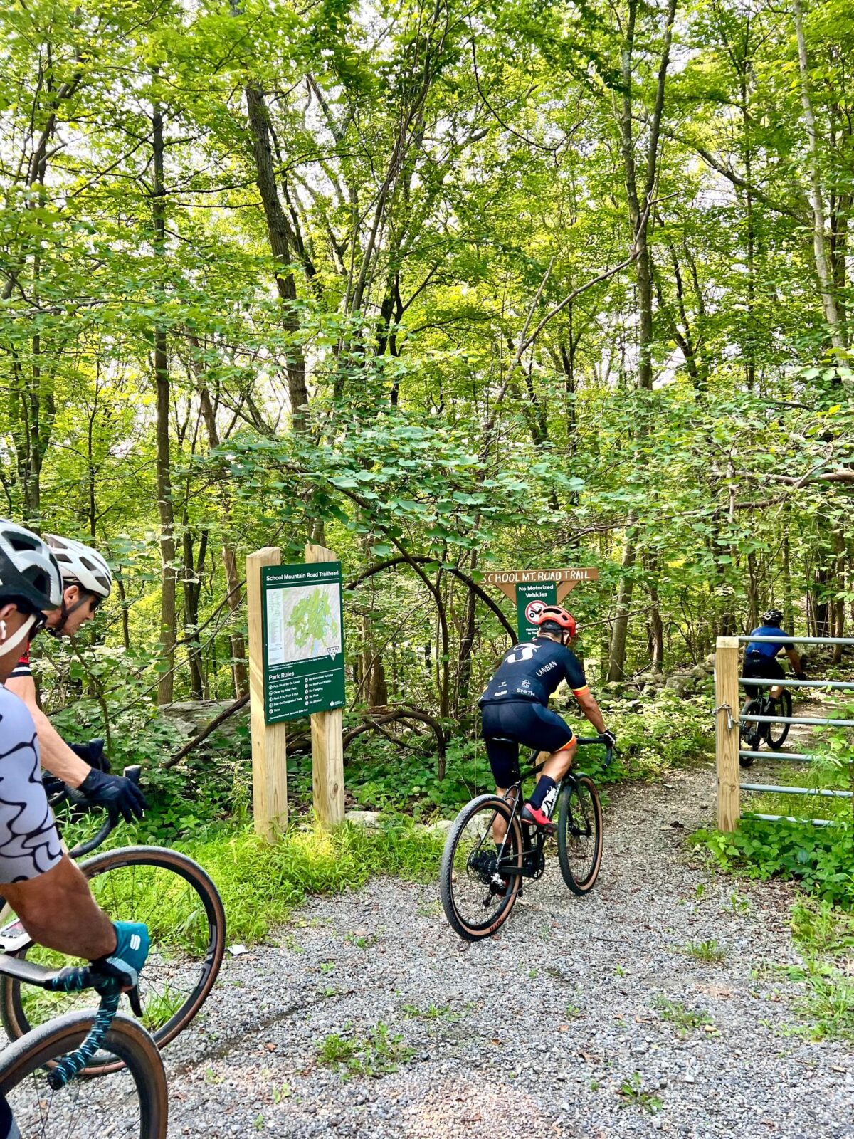
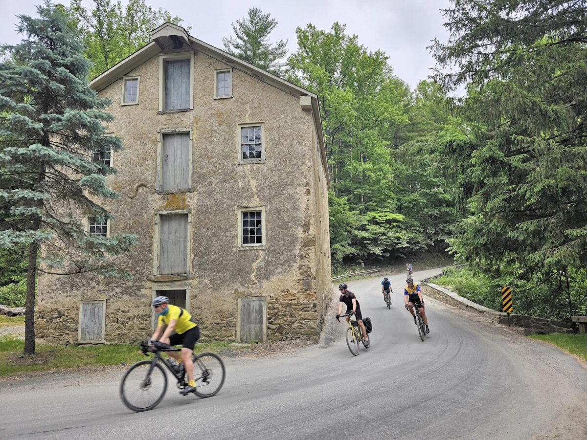
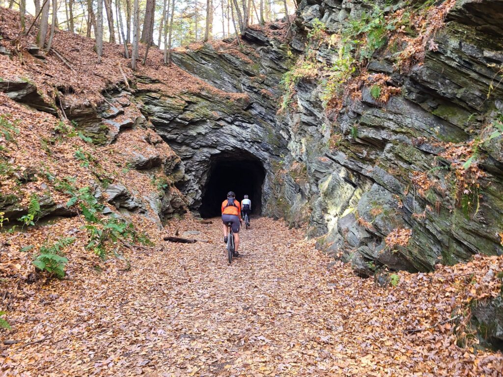
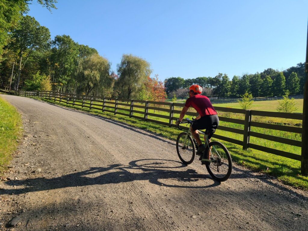
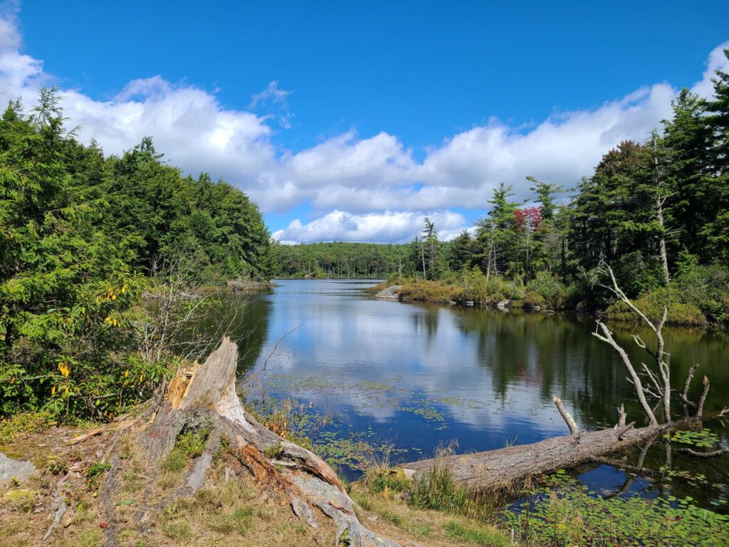
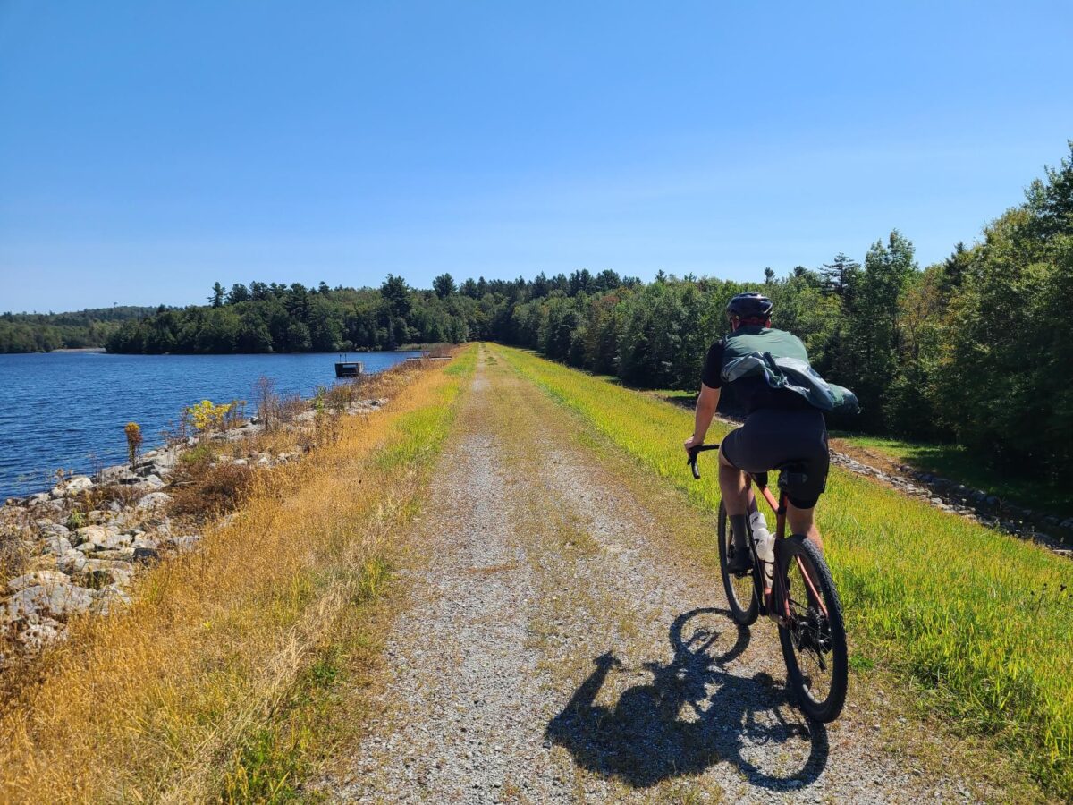
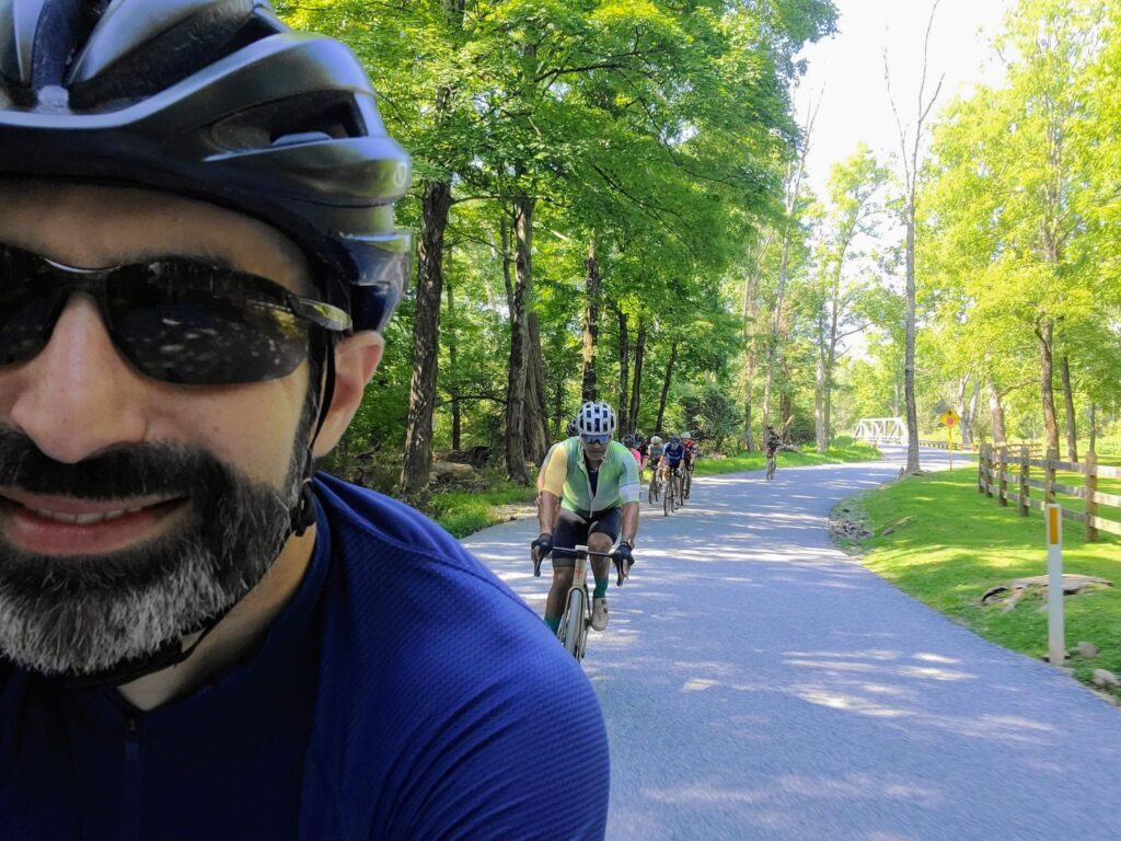
Riders tackling the climb through Mountain Lakes Park.
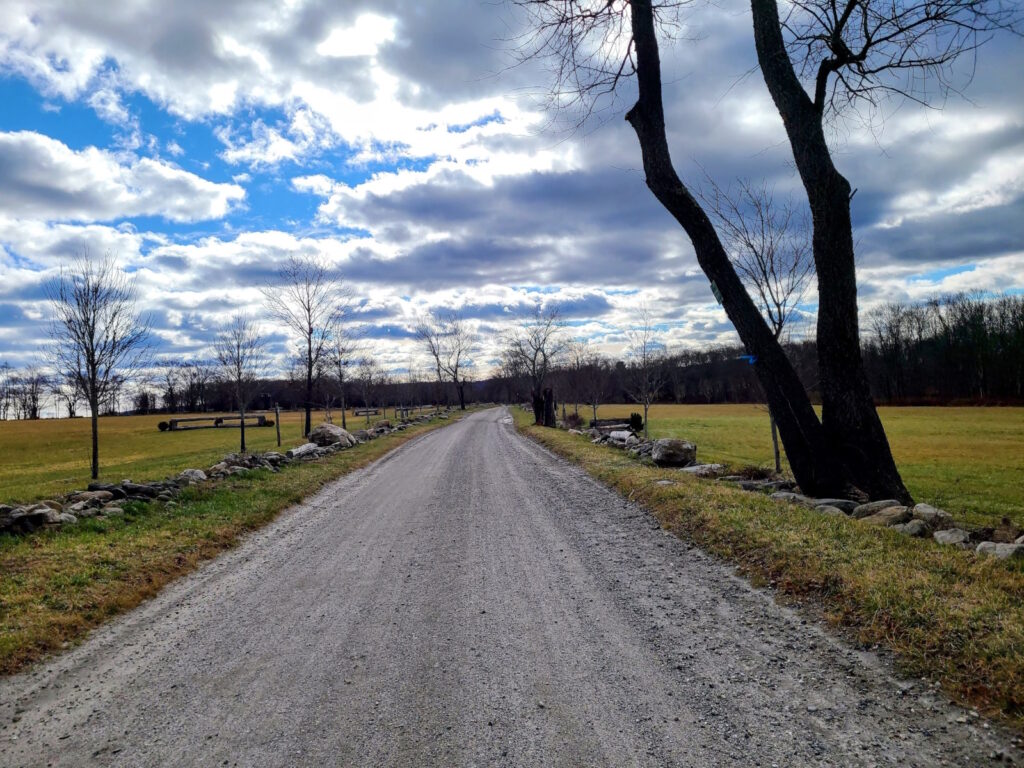
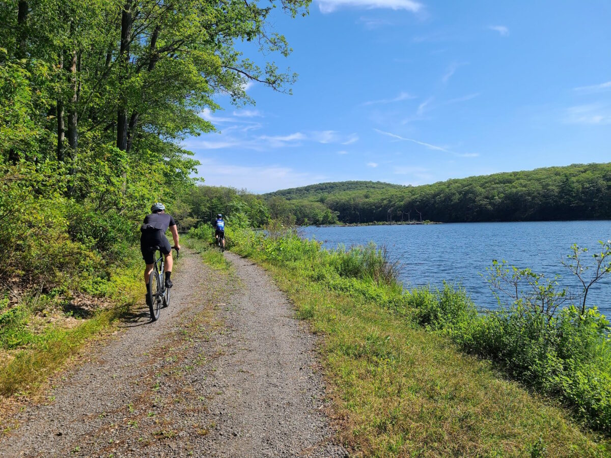
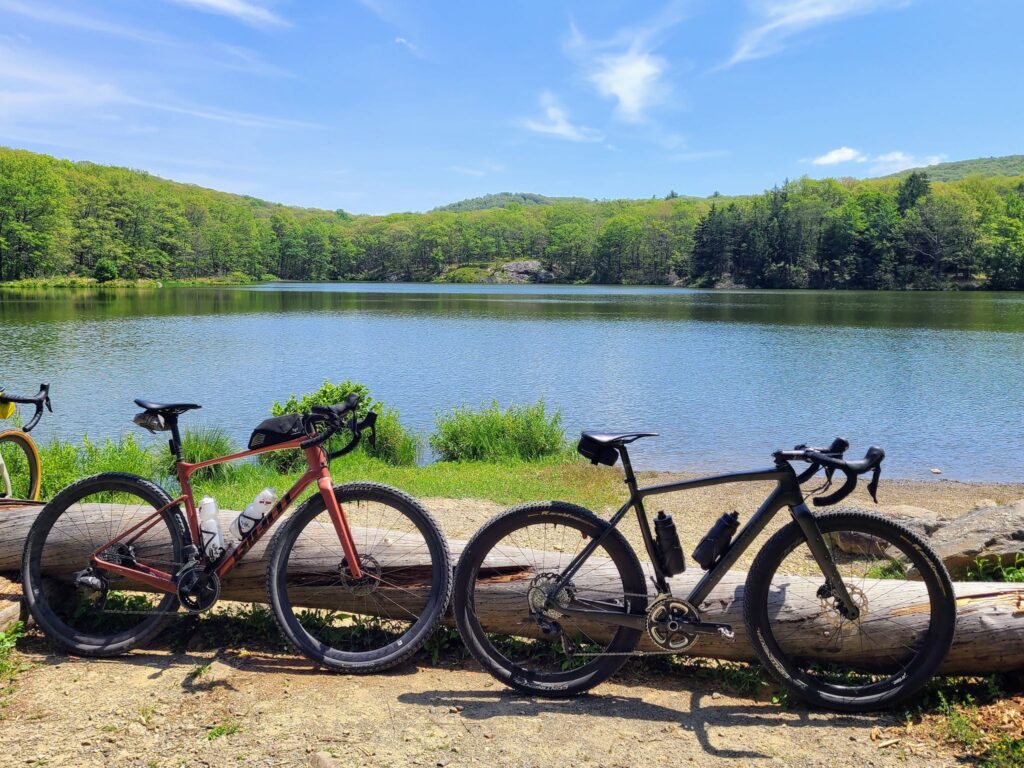
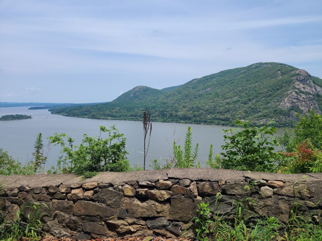
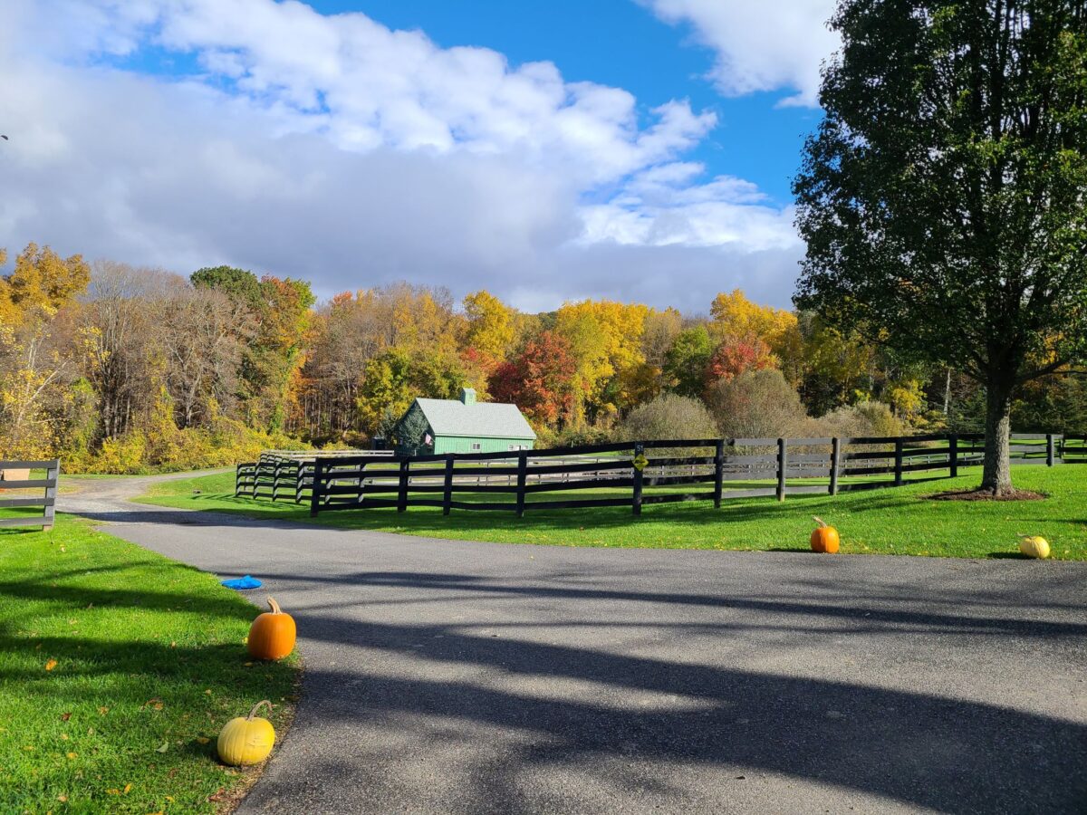
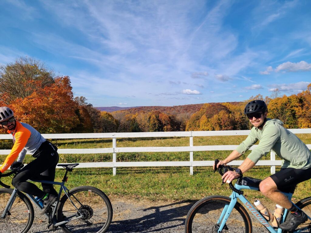
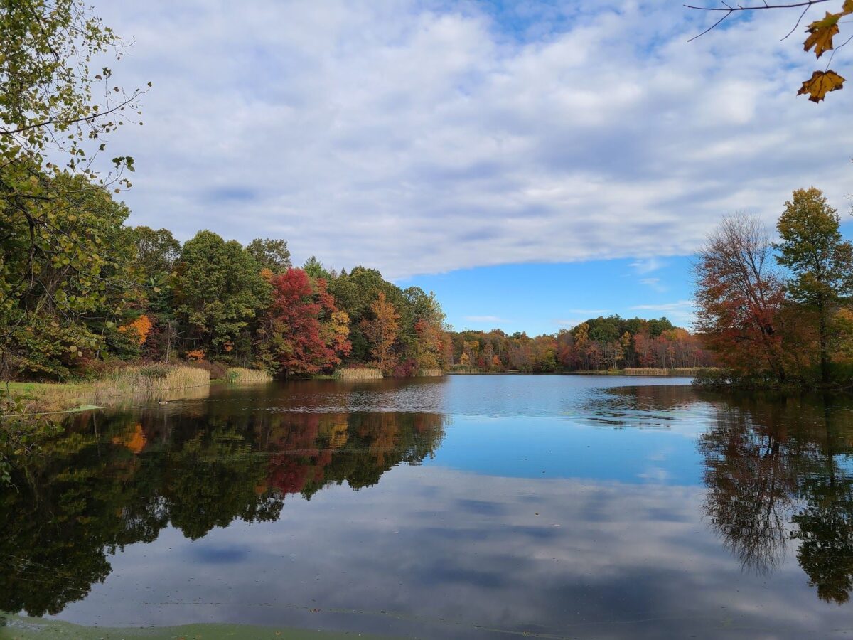
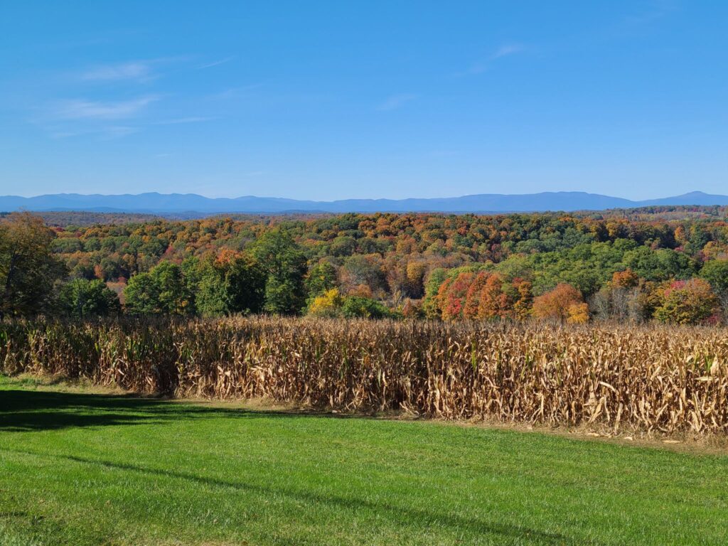
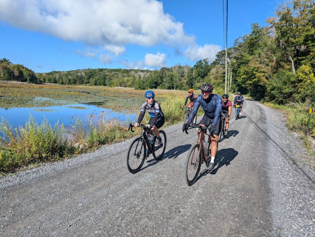
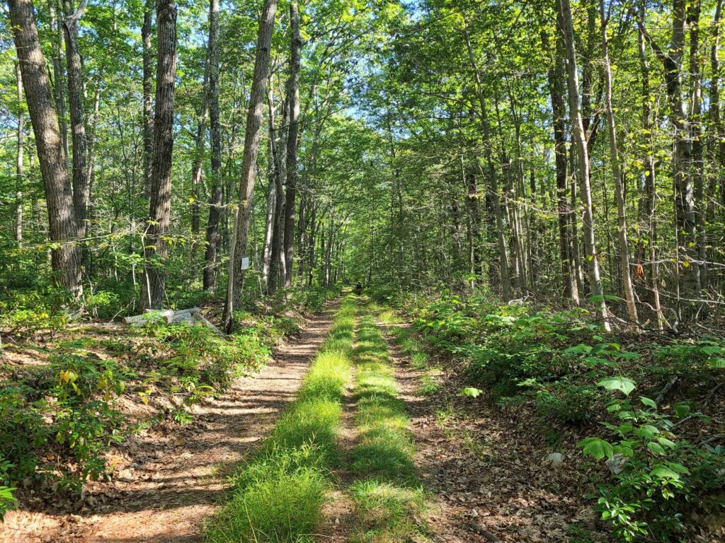
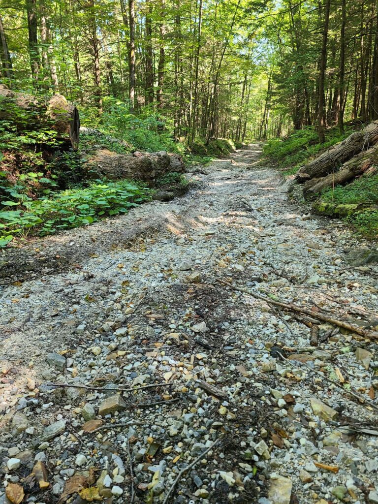
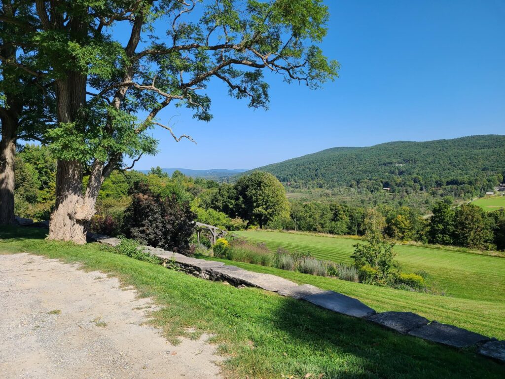
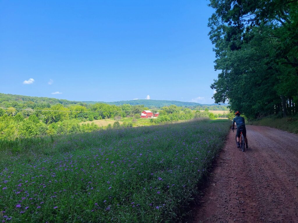
We traversed many miles of beautiful dirt roads through forests, farms, and horse country estates.