Oct 22, 2023: Autumn Ride from Pawling, NY

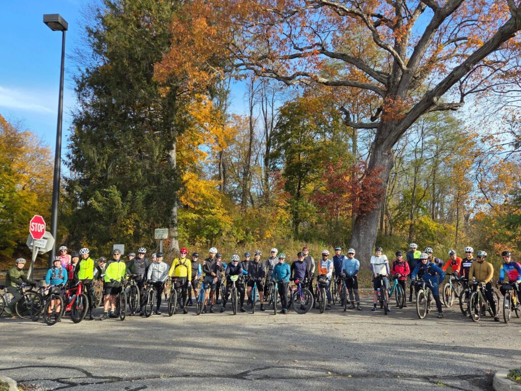
We encouraged folks to “join us while you can!”, and many people came out to ride. Days are getting shorter and temperatures are dropping. We don’t know when the best riding weather will end for the season.

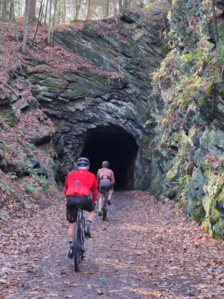
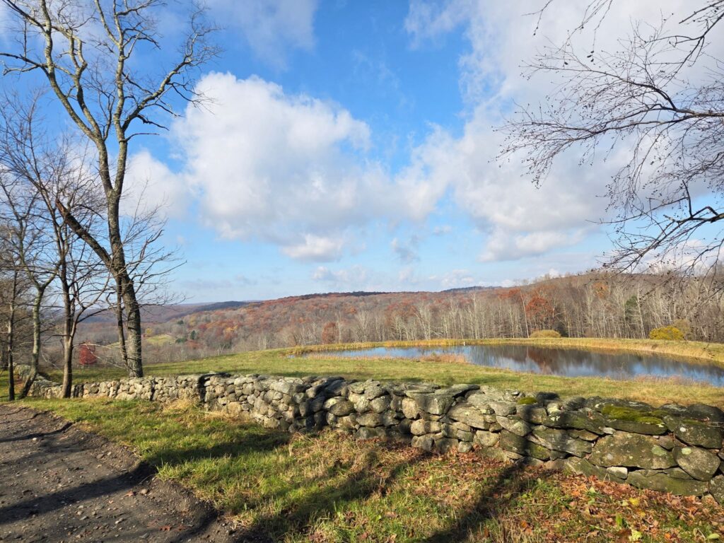
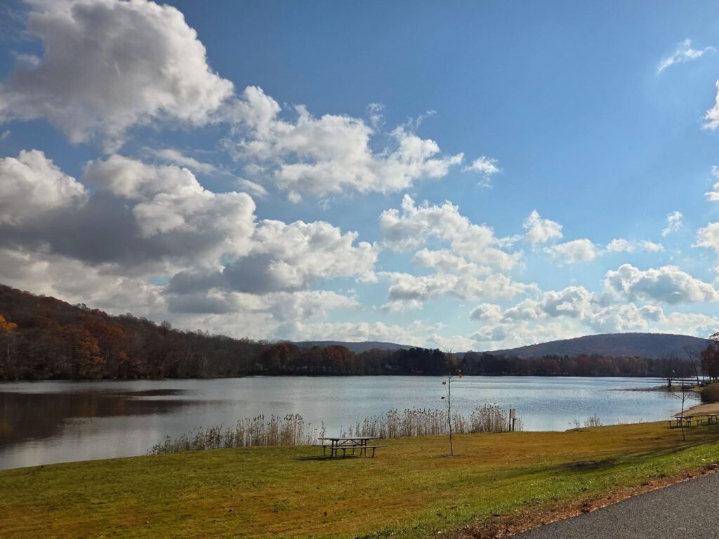
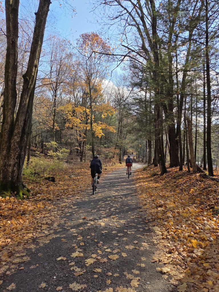
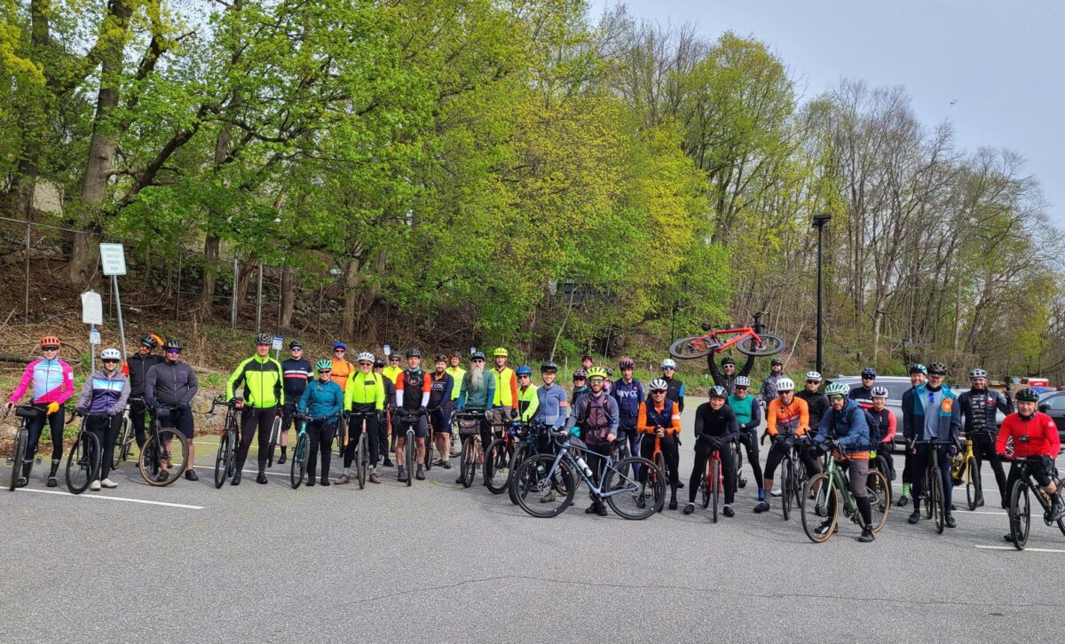
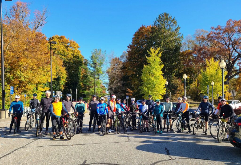
This was a beautiful ride with cool weather, gorgeous autumn leaves, and a great group of riders. We revisited our Spring Gravel Series route that starts in Pawling, NY and travels through Litchfield County, CT. It was great to return to this region for the fall colors. After the ride, people from all three pace groups gathered at O’Connor’s Public House for food and drinks. Thank you everyone who joined us for this spectacular day!

ROUTES:

Steve’s Strava Activity: https://www.strava.com/activities/10086672755

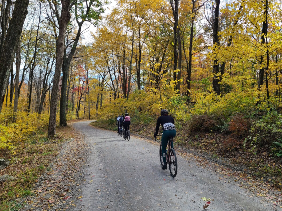
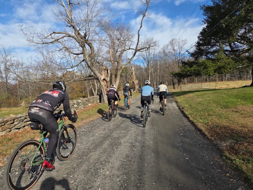
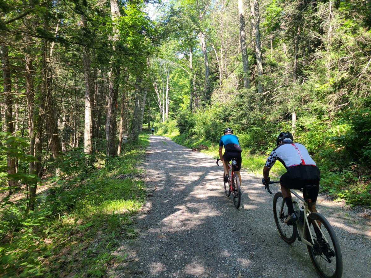
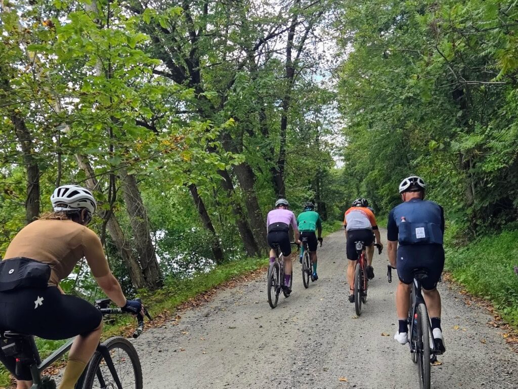
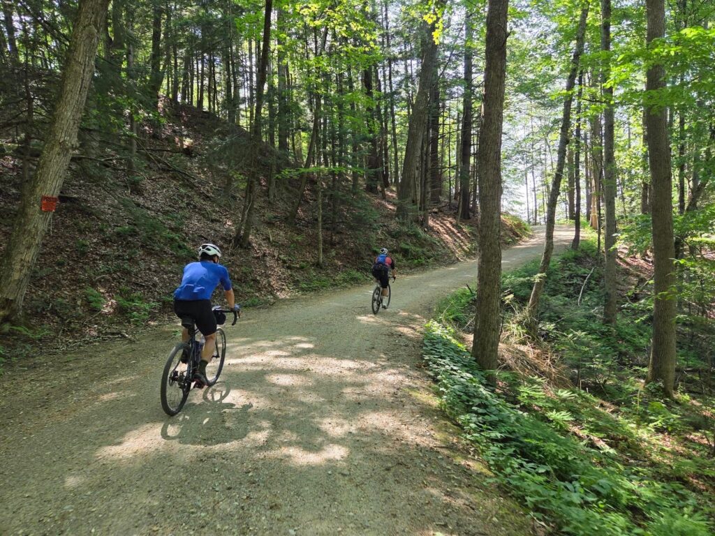
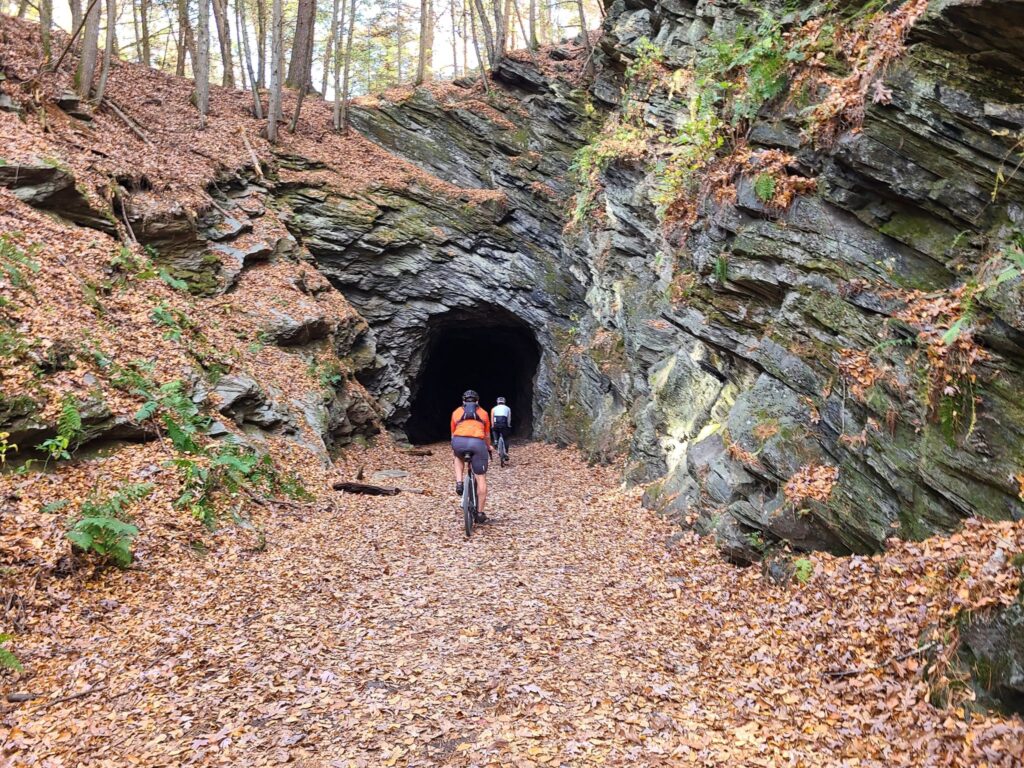
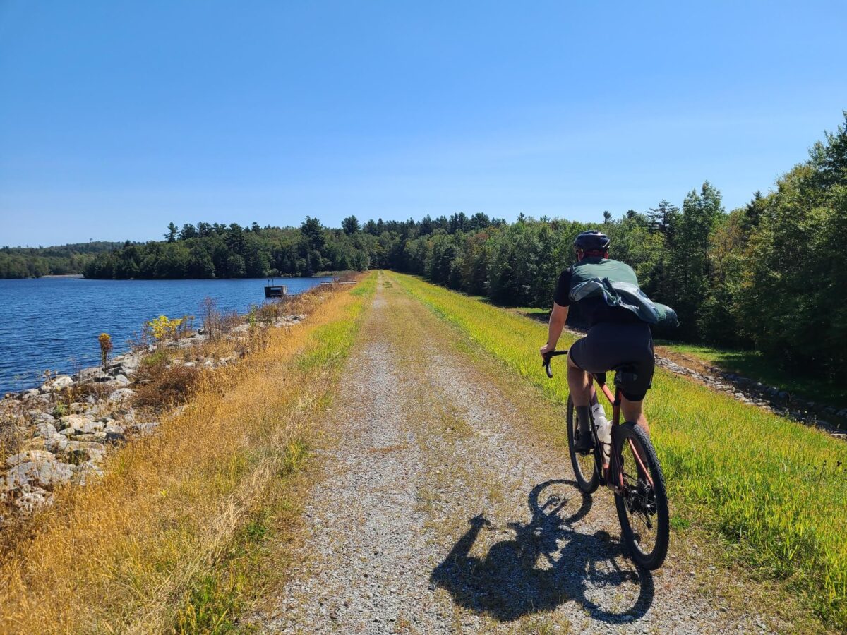
Long-distance group riding through forested dirt roads.

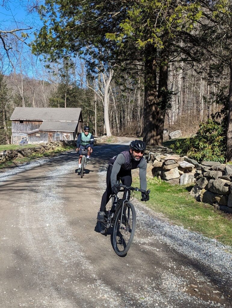
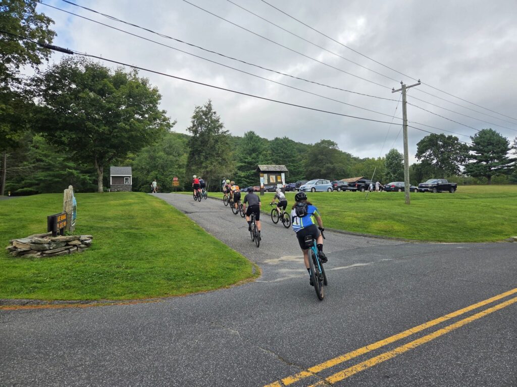
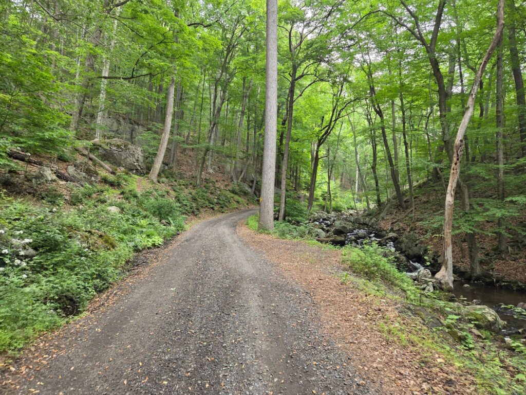
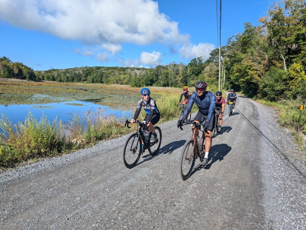
Part of the medium-distance group (with Kathy behind the camera).

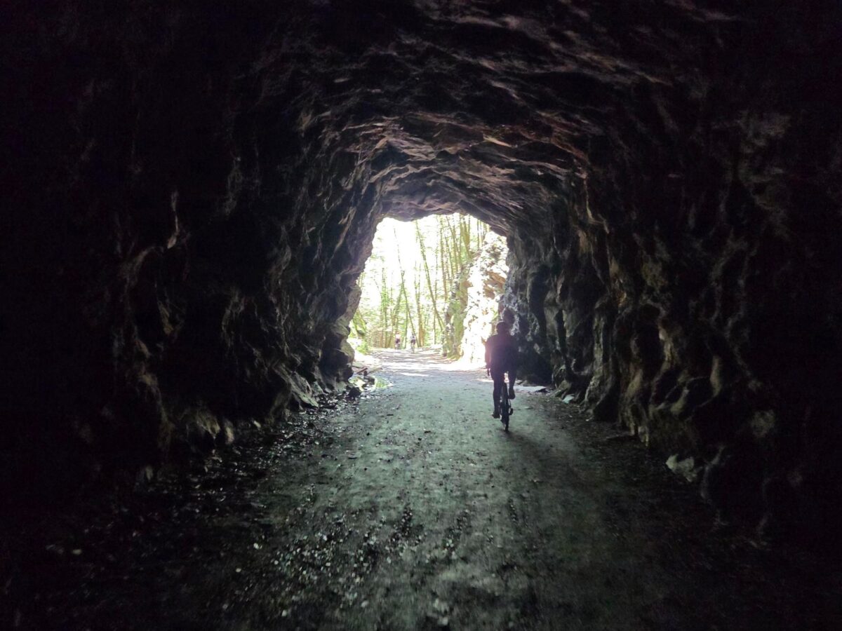
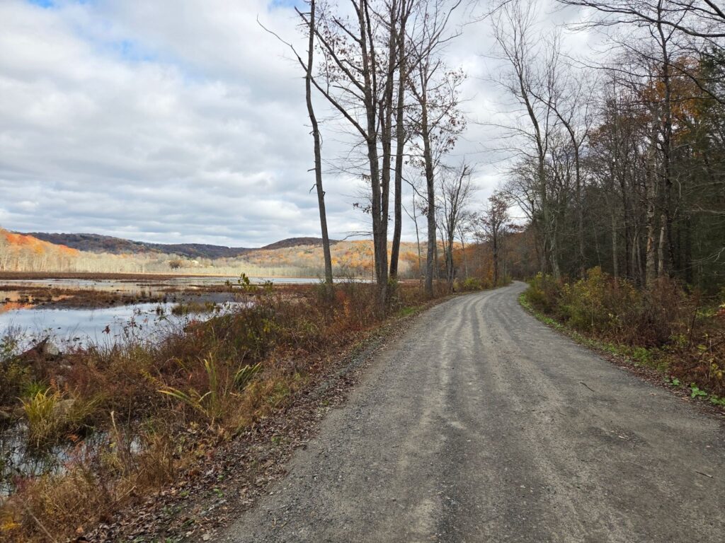
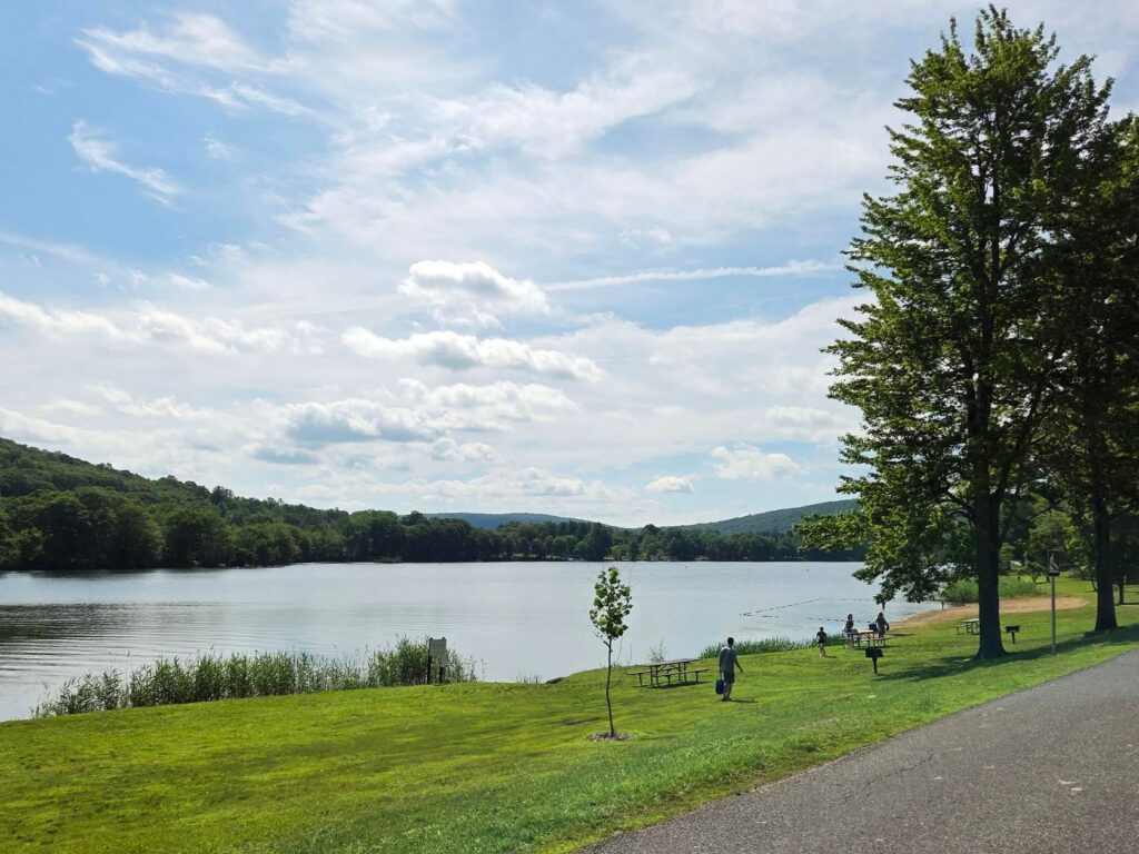
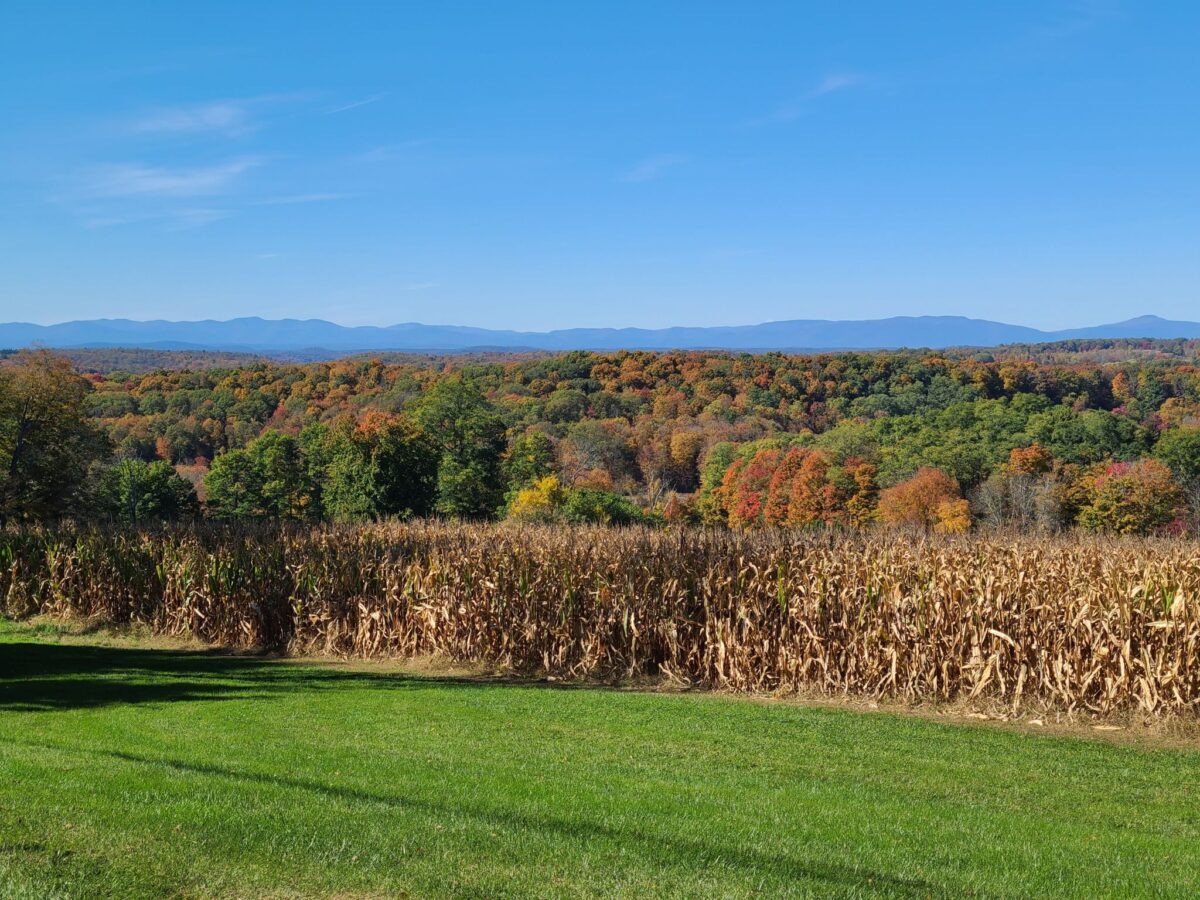
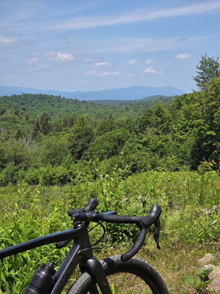
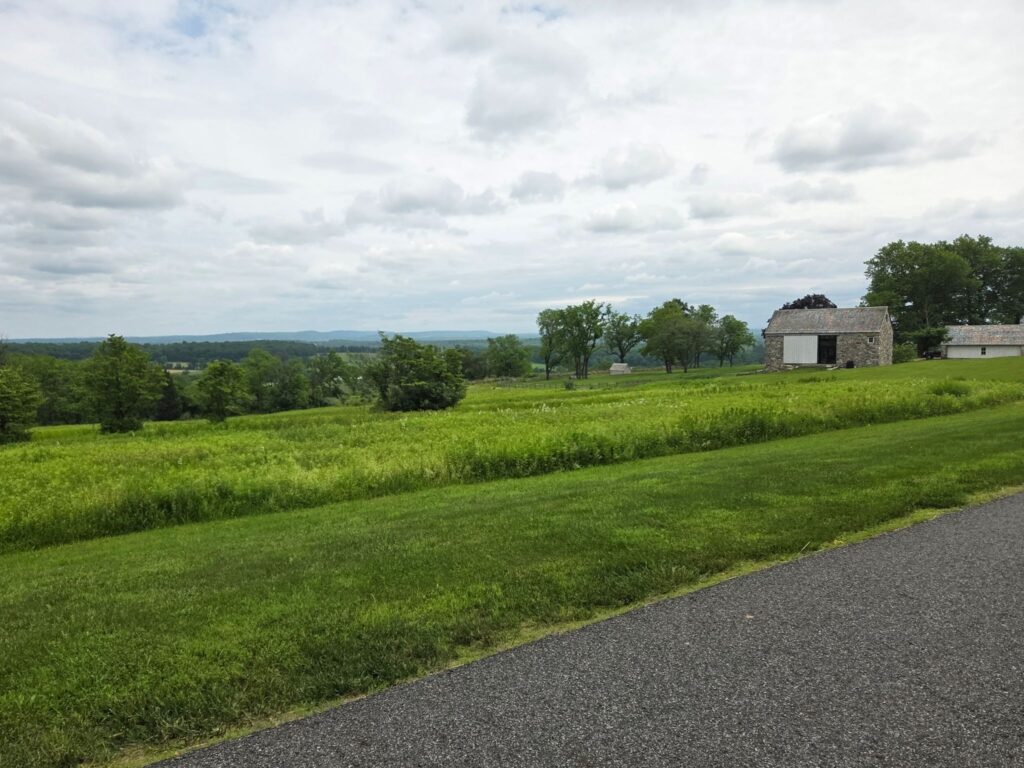
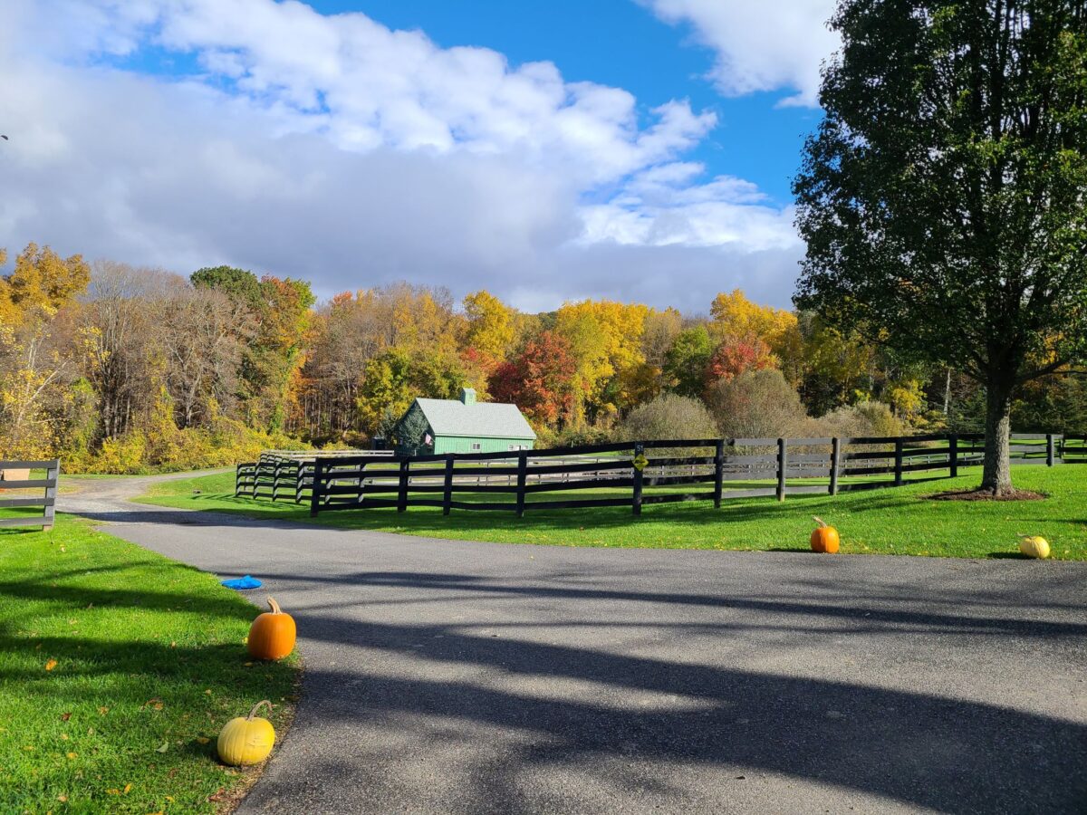
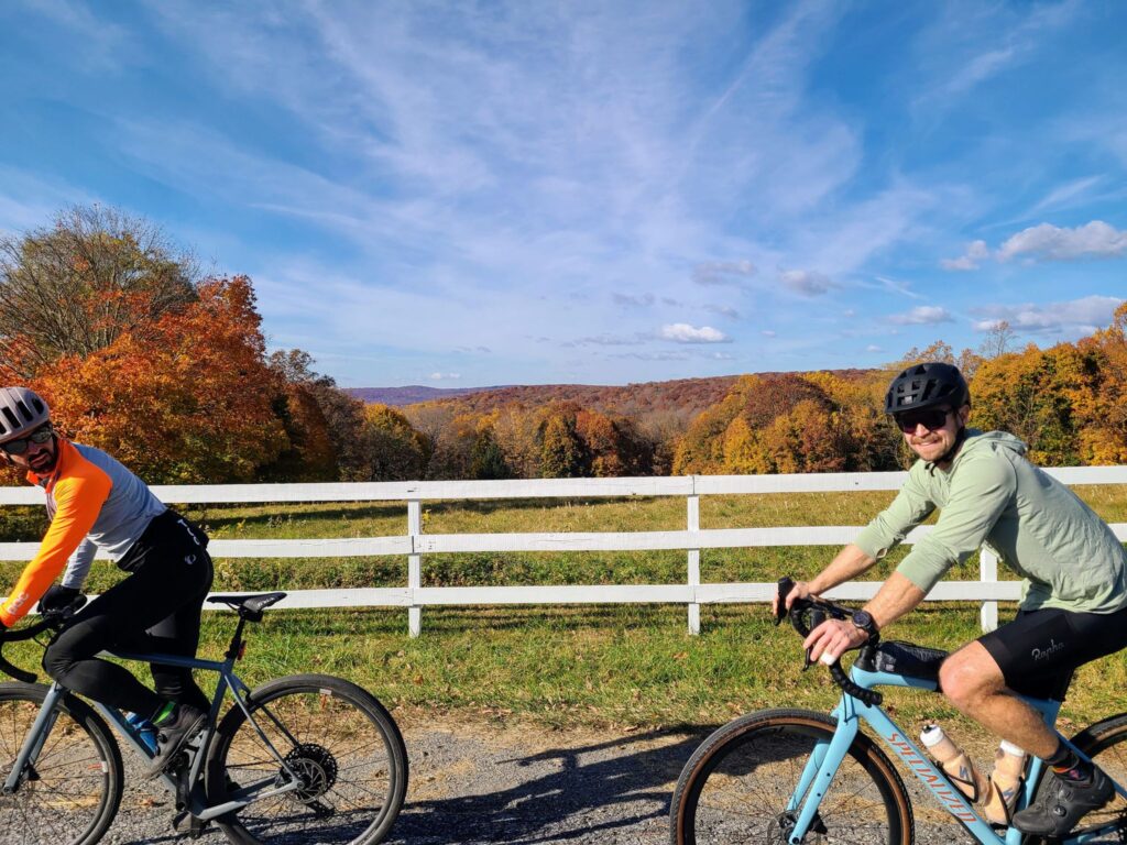
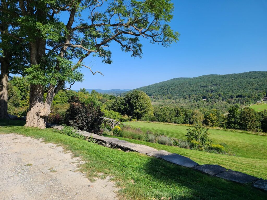
Beautiful views with fall foliage.

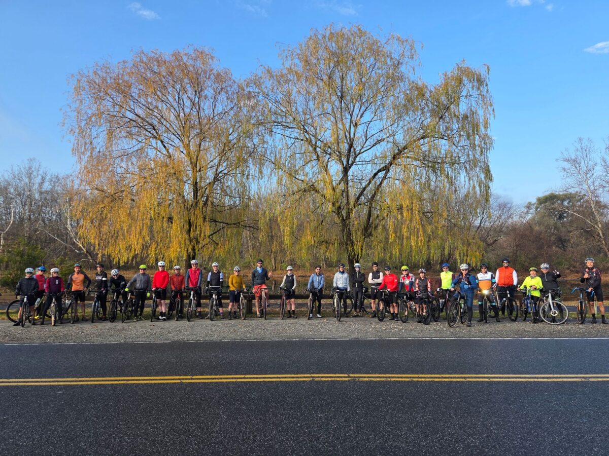
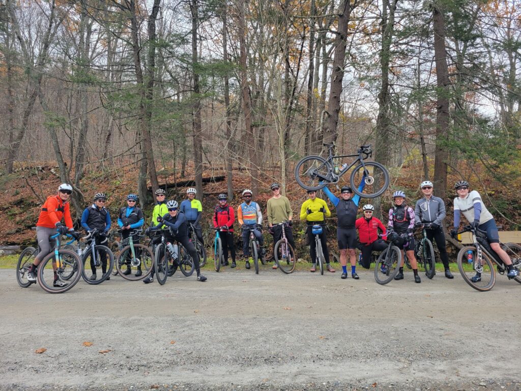
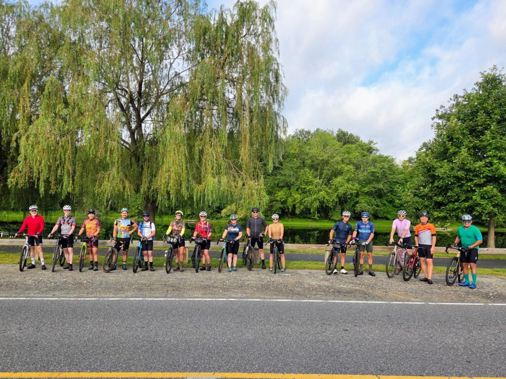
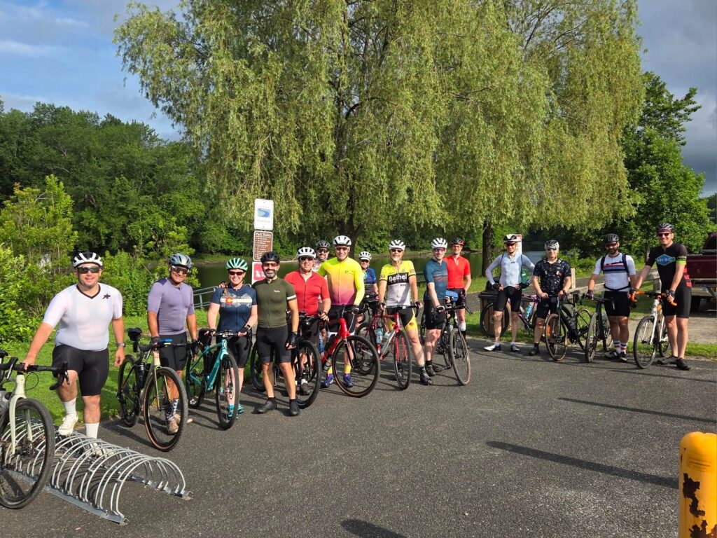
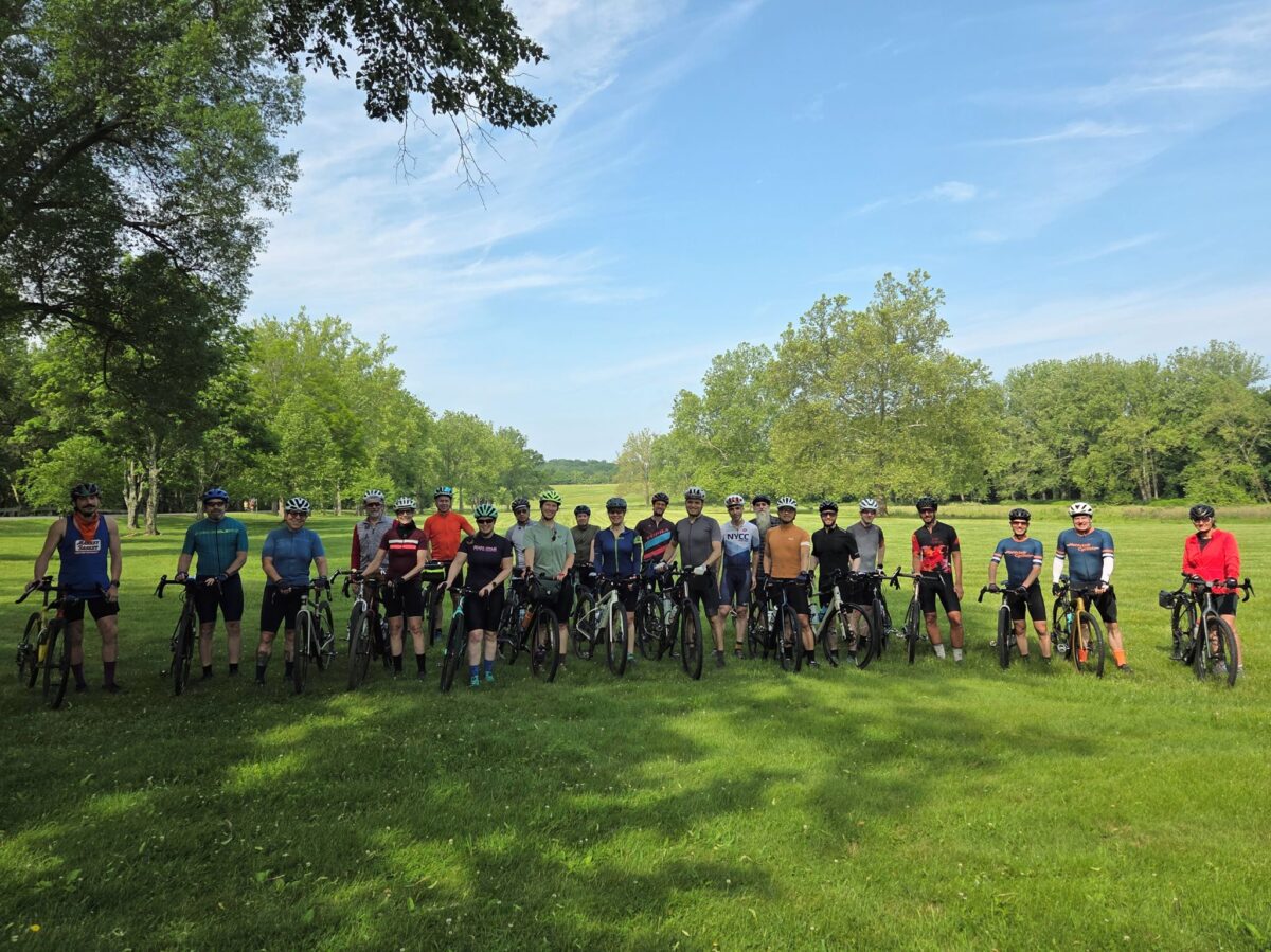
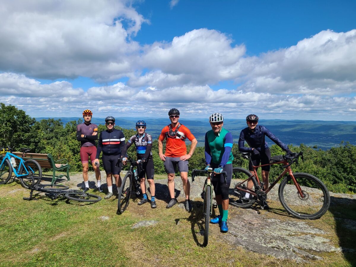
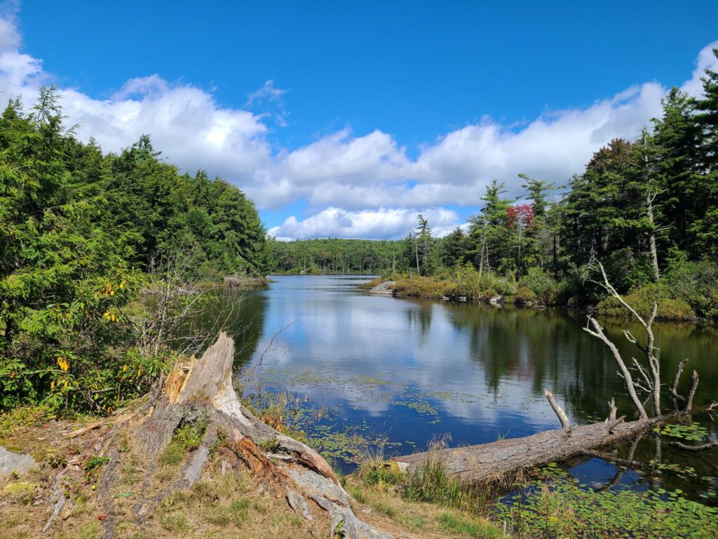
Long-distance group stopping for a photo at Mud Pond. The pond is much more beautiful than its name would suggest!

Oct 1, 2023: Gravel Century – Mt Riga, Sunset Rock and the Berkshires

This was the second year that we’ve done this ride (previously in 2022). It needs to become an annual tradition! This is some of the best riding in our broader region. Absolutely worth the trip and the effort. Note: You’ll need a car (or a lift from another rider) to get to the start location.

Ride description: Epic gravel ride that includes the climb up Mt Riga (~1250ft), the more challenging climb to Sunset Rock (~1050ft, but considerably steeper), the flat (and beautiful) Housatonic River Road, and other premium stretches of gravel in the region. It includes the option to visit Bash Bish falls (the trail is just steps away from the route). This can easily be made into a two-day bikepacking adventure (camping overnight at Taconic Falls State Park). Worth the drive!

Itinerary for our ride.
-19.5 mi: Optional water/gatorade stop at LaBonne’s Market in Salisbury
**34.5 mi: Required stop at Depot Deli for snacks/food/water. This will be needed after climbing Mt Riga and before climbing Sunset Rock (each 1250ft and 1050ft, respectively). Bathrooms potentially available at Taconic State Park campground across the street (when open for the season).
**49 mi: Lunch or snacks at one of these places: a) The Marketplace Kitchen and Cafe in Sheffield (sandwiches, etc, but extremely slow service); b) Gulotta’s Convenience Store next to the Mobil Gas Station has sandwiches, gatorade, etc, but no batherooms!; c) The Bakin’ Bakery (good place for desserts, they had small bottles of gatorade, and a bathroom).
-65mi: Optional detour to Falls River Cafe.
**78: Required Stop at supermarket or gas station in Sharon, CT. Last reliable place to get food/drinks before end of ride. Gas station = no bathrooms. But the supermarket across the street has bathrooms.

Parking: Housatonic Meadows Picnic Area has been a safe choice. They had a decent pit-style toilet (no running water) when we last visited (Oct 2023). There is no fee (just drive and park — no booth). Mark’s ride starts at Housatonic High School. I’m guessing that will work for weekends or summer, only.

Too long? Try these still epic, but shorter options. The shorter routes include both big climbs and the Berkshires sections.

FULL ROUTE: https://ridewithgps.com/routes/39908432

Shorter versions:
86mi: https://ridewithgps.com/routes/39908354
75mi: https://ridewithgps.com/routes/39908450
68mi: https://ridewithgps.com/routes/44553792

Steve’s Strava Activity: https://www.strava.com/activities/9959324686

Our route includes an abundance of quiet dirt roads (~50%) and generally nice paved roads connecting it all together.

Great views across our ride.

July 22, 2023: Lake Waramaug Gravel Ride

Beautiful ride! The long distane group took a bit of a shortcut back and did some soft pedaling (rider with mechanical), but that didn’t take away from an excellent and enjoyable ride. Everyone gathered for cold drinks and food by the river afterwards, which made for a fun post-ride social. The weather was perfect, especially the cooler morning hours. We never regret traveling up to this area. We hope to see everybody out there another time!

These were the routes:
Extra Credit: https://ridewithgps.com/routes/43692320
Long: https://ridewithgps.com/routes/43691565
Medium: https://ridewithgps.com/routes/42464289
Short: https://ridewithgps.com/routes/43691836

Here’s my Strava activity: https://www.strava.com/activities/9501953863

2023 Spring Gravel Series Recap

GrNY’s “Spring Gravel Series” (SGS) included 5 rides over 5 weekends and was great fun! Each ride had three speed groups, which corresponded to different route lengths (short, medium, long), so everybody would finish at about the same time to socialize after the ride. Join our Strava group to be notified of future rides (but see here first: https://grny.org/category/about-grny).

Just want the routes from each ride? Here’s a collection in RidewithGPS:
https://ridewithgps.com/collections/1897351?privacy_code=5fvuXMgvhsk25x93

SGS1 – Katonah, NY (May 6, 2023). Our first Spring Gravel Series ride of the year was an awesome time! Thank you to everyone who showed up and made it the fun day that it was. We travelled on some of Westchester’s most scenic rural roads. Many of us celebrated together after the ride at Paulie’s Deli, which has only about 5-6 taps, but always good stuff in them. Today’s selection included Lawson’s Finest Liquids: Sip of Sunshine, Maine: Lunch, and other non-IPA beers, of course. Those cold beers were well-deserved!
Photos and ride stats (Steve’s Strava profile):
https://www.strava.com/activities/9023394582

SGS2 – Dover Plains (May 13). It was an awesome ride. The long distance group had a fast bunch and we cleared this beautiful course impressively quickly. This route includes many of Dutchess County’s best dirt roads, including some hidden gems. We tackled the gorgeous streamside climb through Wassaic (Tower Hill Rd), Ludlow Woods Rd, Deep Hollow Rd, and so many other great spots. We saw everything from forests with deer hopping across the trail, to farms full of animals, to ridges with long pastoral views in the distance. Many of us capped off the ride together with burgers, ice cream, and beer.
Photos and ride stats (Steve’s Strava profile):
https://www.strava.com/activities/9066076684

SGS3 – Pawling, NY (May 21). Beautiful and fun ride! Thanks everyone who joined us today. The weather was perfect (warm enough for comfort, but not hot enough to overheat), and the condition of the dirt roads was really good. There were only a few rare spots that were soft from the previous day’s rain. And the route was as beautiful as I remember it. Many of us celebrated with cold beer and food at O’Connor’s Public House after the ride.
Photos and ride stats (Steve’s Strava profile):
https://www.strava.com/activities/9115448504

SGS4 – Cold Spring, NY (May 27). Awesome ride with a huge turnout! Much of the ride took place near Fahnestock State Park, with lots of fun and challenging climbs. We found all the hills today! The “long”, “medium”, and “short” distance groups accumulated ~7500ft, ~5400ft, and ~4800ft, respectively. There were beautiful forested roads, ponds, crazy climbs, and steep descents. A really fun time! Some of use stuck around for beer, ice cream, and snacks by the Hudson River in Cold Spring.
Photos and ride stats (Steve’s Strava profile):
https://www.strava.com/activities/9152286381

SGS5 – Far Hills, NJ (June 3). Spectacular ride. We traversed some of the region’s best rural roads, tackled the rugged climb through the Teetertown Ravine and later traveled through the spectacular Lockwood Gorge. The rest of the ride was wonderfully scenic, too. We had a great turnout – and missed a few from the group photo, as always. Most people joined us for drinks and snacks at the park after the ride. It was great to catch up with returning riders and to meet many new folks!
Photos and ride stats (Steve’s Strava profile):
https://www.strava.com/activities/9196314449

Questions? Feel free to reach out to Steve (track.smart@gmail.com).

“Fall Back” Gravel Ride: Brewster > Wingdale > Wassaic

In addition to turning back the clocks, on November 6, 2022 a group of GrNY riders tackled a gravel ride of 79 miles and over 7,000 ft of climbing (or a truncated 65 mile version).  This ride offered a bit of redemption, because the previous time we did this route was in early March, when we encountered many miles of snow-covered back roads.  The ‘normal’ dirt roads were fine that previous day in March, but the closed-for-the-season dirt roads had not yet melted.  Live and learn! 

Overall, this was a fun day out and a great first GrNY ride since my (Steve’s) return from Colorado.  It was a beautiful route with a mix of rural dirt and paved roads. And it was such a wonderfully warm day. It was hard to believe it was November.  Some of us celebrated with beer and pizza after the ride and both tasted mighty fine after our efforts.

There were a few minor imperfections on the day, but they didn’t dampen our spirits (even if they did dampen the roads!). The weather turned a bit wet and misty during the second half of our ride, but on such a warm day it really wasn’t much of a bother. And the first part of our ride, Pugsley Rd, was in the process of being redeveloped so it was a sketchy trek through an in-progress construction zone.  Thankfully, there was no active work on this weekend morning.  Say farewell to the formerly- quiet, and formerly-dirt Pugsley Rd!  It will soon be paved and have a huge warehouse operation, a large recreation center, and lots of truck traffic.  You may need to choose an alternate route to start this ride if construction is still underway.

The top “loop” of this ride has much more gravel than the bottom loop, especially now that Pugsley Rd is no longer dirt. It might be time to develop a better route that no longer starts from Brewster.

ROUTES:

– Full, 79 mile version:  https://ridewithgps.com/routes/41370685

– Shortened 65 mile version: https://ridewithgps.com/routes/41370810

ACTUAL RIDE: https://www.strava.com/activities/8079592997

WARNING: After emerging from Penny Rd onto pavement you will encounter a crazy steep downhill. Go slow! One rider almost lost control. I guess I wasn’t clear enough when I tried to warn folks.

Note:  This version of the 79-mile route switches the direction of the “top loop”.  This is a change for the better.  First, it puts our lunch spot (Kent, CT) at mile 35.5, which is better timing.  Second, it allows for a  shortened 65-mile route that keeps everyone together until lunch time.  Third, it allows us to ride *up* Macedonia Brook State Park, which means you get more time to enjoy the lovely scenery, rather than bombing down it at high speed.

Tackling the climb inside West Mountain State Forest on the way to Penny Rd
Tackling the climb inside West Mountain State Forest on the way to Penny Rd. Penny Rd is definitely not a road anymore! It is a rough forest trail, but doesn’t last for long.
Foggy road through rolling farms and forests.

Riga, Sunset Rock, and the Berkshires

On June 24, 2022, a group of GrNY riders completed this epic ride to celebrate 2x Peter’s birthday (plus some extra miles to make it an even century). It was also a great sendoff before I head to Colorado for the rest of the summer. The upper ~65 miles come from Mark L’s excellent 2021 Riga route. I did an 80-mile version of this route last summer and knew that I needed to return!

Route Description:

Epic gravel ride that includes the climb up Mt Riga (~1250ft), the more challenging climb to Sunset Rock (~1050ft, but steeper), the flat (and beautiful) Housatonic River Road, and other premium stretches of gravel in the region. It includes the option to visit Bash Bish falls (just steps away from the route). Worth the drive!

I’ve pasted the RidewithGPS route below, which contains a detailed description and options for shorter 75- and 86-mile distances. The 75-mile route is probably the sweet spot as it includes both big climbs and the entire Berkshires part of the ride. The last 22 miles of the full route have some excellent dirt roads, too. We were originally going to start in Kent, CT, but moved the start location to Housatonic Meadows State Park Picnic Area to allow for some shorter “bailout” options (75 or 86 miles), in case anybody needed to get back earlier, or in case we ran out of steam. Thankfully we managed to keep the pedals turning for 100 miles and 9500 ft of climbing and had an awesome ride! We celebrated with some beer at the end.

ROUTE LINK:

SHORTER VERSIONS:

OUR ACTUAL RIDE:

Itinerary for our ride.

  • 19.5 mi: Optional water/gatorade stop at LaBonne’s Market in Salisbury
  • 34.5 mi: Required stop at Depot Deli for snacks/food/water. This will be needed after climbing Mt Riga and before climbing Sunset Rock (each 1250ft and 1050ft, respectively). Bathrooms available at Taconic State Park near the swimming area (across the street).
  • 49 mi: Lunch at the Marketplace Kitchen and Cafe in Sheffield (sandwiches, etc). They might not carry sports drinks, but we could backtrack 0.1 miles to the Mobile Station across the street if needed.
  • 65mi: Optional detour to Falls River Cafe.
  • 78mi: Required Stop at supermarket in Sharon, CT. Last reliable place to get food/drinks before end of ride.

Parking:

Housatonic Meadows Picnic Area has been a safe choice. They had decent porta-potties when we last visited (late June, 2022). There is no fee (just drive and park — no booth). Mark’s ride starts at Housatonic High School. I’m guessing that will work for weekends or summer, only.

Brewster to Wassaic Gravel Ride

For those who missed it, here’s a quick recap of this past Saturday’s GrNY ride.

TLDR version: I promised adventure on this GrNY ride and (unintentionally) ended up seriously over-delivering. Winter has not yet receded in Dutchess County. Overall we traversed…
– snow-free frozen dirt (good for riding)
– velcro-mud (energy sapping, but otherwise fine)
– soupy mud (rideable but messy)
– ice-covered forest trails (difficult even for walking),
– crusty frozen snow (upon which we did a substantial amount of snow biking).

My bike computer recorded 79 miles and 7000′ of climbing. That was one crazy ride, but a lot of fun. Thanks everyone who joined this not-yet-spring lunacy!

=========
MORE DETAIL: Going north of the city for a gravel ride was always going to be a risk this time of year — to the extent that I chose a 100% paved route as a backup plan. But despite the frozen crust of snow in the grass around our starting location, all of our riders decided to try the dirt route.

Things started off well in the chilly morning: Nicely frozen (and therefore solid) dirt roads for us to enjoy – all completely free of snow on the road portion. That said, the snow under the trees indicated that we would surely be hiking through the forest trail portion of our ride (at West Mountain Forest). And sure enough, even walking was a challenge on that section! It was a ~0.75 mile of “ice-hiking”.
Fortunately, we soon hit roads again on the other side.

After lunch at Cousins Bakery/Cafe/Deli/Pizzeria, we ventured further north and found our dirt roads getting softer with the warmth of the day. Totally rideable, but sometimes sticky (sapping ones energy) and occasionally pretty messy. We never hit truly awful peanut butter mud, so I’ll consider that a win on the mud front. But those closed-for-the-season dirt roads were an entirely different matter! Without car traffic, they were still covered in a crust of semi-frozen snow. I expected us to be walking, but after seeing Vasyl forge ahead on two wheels, the rest of us gave it a shot. Definitely challenging, but on the flat, we managed to roll (and skid) our way forward. We did this through several short sections of seasonal road and thought we had triumphed by the time we returned to the lower loop of our ride. But around mile 64 we hit an uphill surprise of more snow-covered roads. We weren’t going to be riding up that — we barely had traction on the flats! And it was getting late in the day, so limited daylight was a concern.

About half of our bunch took the most direct paved path back towards our start location (the shoulder of a busy Route 22). The other half (including yours truly) took a detour half-way down Route 22, then veered towards the paved Mayberry trail – and towards peaceful salvation. Or so we thought! We soon hit a stretch of unexpected icy-snow stretching into the distance on the bike trail. Wow, there was just no escaping the white stuff! Fortunately, after that longish stretch of snow-biking, the rest of the Mayberry trail was fine except for short bands of snow underneath underpasses. All riders made it back to the train or their cars and were only slightly the worse for wear. It was one crazy ride!

MAIN ROUTE (77.5 miles, ~7000’): https://ridewithgps.com/routes/36622714

Our actual ride: https://www.strava.com/activities/6779011361

Questions? post below or email: track.smart@gmail.com

Maybrook Trailway
Walking bikes on icy snow
Lifting bikes over a gate
The route

Macedonia Gravel Grinder* – Winter Edition

Yesterday, members of the GrNY group did this ride for the first time. I’ve had a couple of requests for the RidewithGPS route, hence this ride report. For those who don’t know, Strava events (and their routes) disappear from the group page once they are over.

MAIN ROUTE: https://ridewithgps.com/routes/38187873
~80 miles and 8,000 ft climbing

SHORTER VERSION: https://ridewithgps.com/routes/38188236
~65 miles and 6,000 ft climbing

Our actual ride: https://www.strava.com/activities/6395687673

From my Strava feed:
“It was an awesome day on the bike with some excellent company (most of whom woke up before 5am so we could get to the ride start before NYC traffic started!). There was much excellent dirt and plenty of climbing. Those of us who are more road/gravel oriented got several hundred extra feet of climbing by taking the paved way down Skiff Mountain. Those with better mountain bike skills chose the dare-devil, gravel descent (steep, winding, narrow, loose gravel, with potential uphill jeep/ATV traffic).
Thanks to Mark L for the spectacular route that he created in 2015 — and his advice for further improving it prior to our ride today!”

NOTES:
1) There were a couple of places with road work/closures, but on bikes, we were able to pass through.
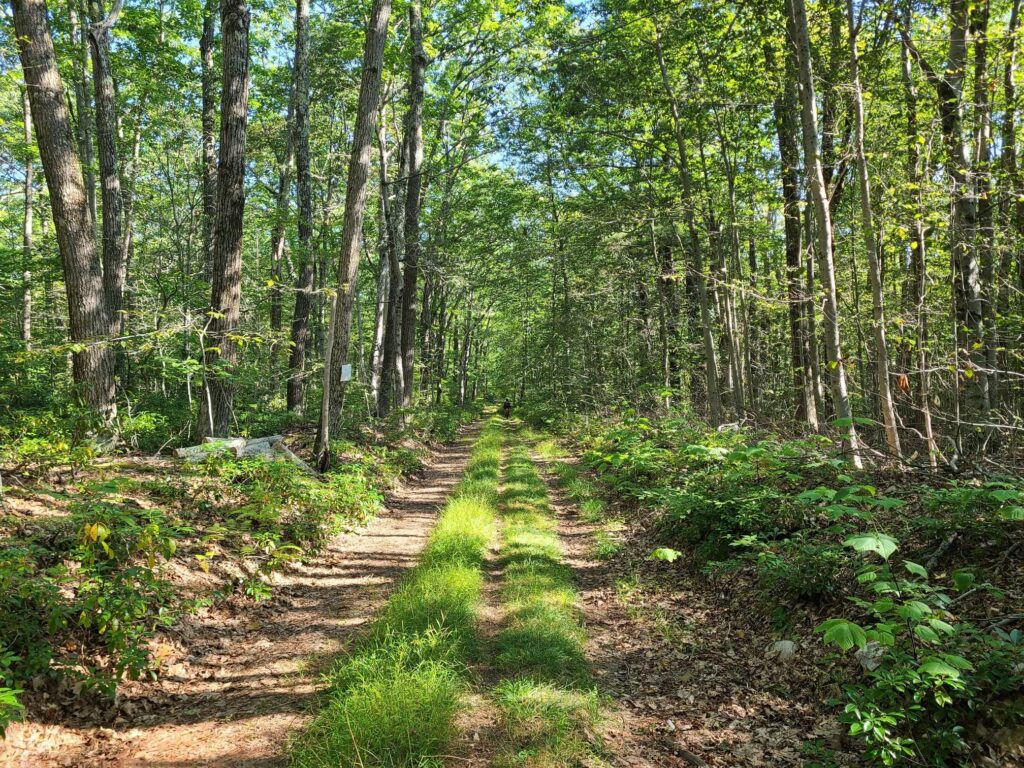
2) Make sure you are well-stocked with food and water (e.g. in Kent) before starting the upper loop. You won’t find any places to refuel up there.
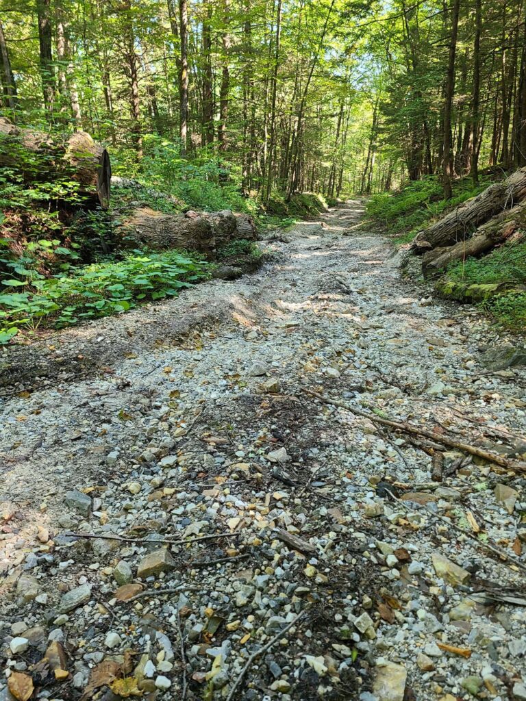
3) The route above takes the paved way down Skiff mountain (safer), but choose your own adventure (at your own risk).

* This route has no affiliation with the official Macedonia Gravel Grinder event, which will be happening for the first time this summer. I have no idea which roads that event will take, aside for obviously traveling through the lovely Macedonia Brook State Park.

Pawling Nature Preserve
Housatonic River
Housatonic River
Hill on dirt road
Up up up… There was plenty of climbing on the day (>8,000 ft according to most of our bike computers)

Dutchess and Litchfield Gravel Grinder (with Skiff Mountain climb)

On Sunday, August 29, GrNY riders (including two new members) lined up to tackle either a 50+ or 80+ mile gravel route that included the challenging climb up Skiff Mountain near Kent, CT.

Overall, it was an awesome day out. We had good weather for riding (highs in the 70s and no rain, despite the gray skies); the roads were in better condition than we expected given Hurricane Henri the week before; everyone managed to complete the route (either 50+ or 80+ miles), and we covered some beautiful rural roads through farms, forests, and nature preserves.

That said, the start of our ride didn’t go as planned! A running race led to the closure of the first part of our route. We managed to detour. About 9 miles from the start, we came to another closed road. The bridge was completely missing. Water pumps were running and there were no construction crews around, so we crossed the construction zone.

One of the ride highlights — or lowlights depending on how much time a rider spent riding vs walking — was the climb up Skiff Mountain via N Kent Road. This is a minimally maintained road that resembles a jeep trail more than the hard-packed dirt roads on the rest of the route. It is a significant climb (>1000’), it is very steep in places (up to 20%), and continues for a long way (2.5 miles at 9 to 10% average grade), but it is the loose surface that makes it particularly challenging.

A couple of us managed to ride the entire way (which definitely felt like an accomplishment). Others managed to ride most of the way, but had to walk the steepest or loosest sections (not enough traction). One or two riders probably spent more time walking. My only tips are to keep your weight back, try to pick good lines (i.e. look for the better-packed sections), spin smoothly, and otherwise try to keep your wheel straight (not turned) through the loose stuff. I was running 38mm slick tires, but I’m sure wider would have been better.

Splitting up: Soon after Skiff Mountain, around mile 26, we split into two groups. Some of us continued on the 80+ mile route, which travelled through picturesque dirt roads in Dutchess County, NY. Others stayed mostly within Litchfield, CT and passed through the beautiful Macedonia Brook State Park to complete 50+ miles on the day. The 50+ mile group confirmed that everybody made it and enjoyed the route. Our 80+ mile group put in a long, but enjoyable day on the bike, with our fuel tanks mostly drained by the end. Total distance was ~83 miles and between 7200’ and 7800’ of climbing depending on whose device and routing service you believe.

**ROUTES**
80+ mile route: https://ridewithgps.com/routes/37294061
50+ mile route: https://ridewithgps.com/routes/37294649
Our actual ride (83-miles): https://www.strava.com/activities/5874412401

NOTES:

  1. There was a bridge missing at mile nine.
  2. I updated the route to include our short “spurs” toward the few food/water stops that exist along the way.

Steve (track.smart@gmail.com)

Dutchess County farm country.
Riders (minus the photographer, Brian)
Dirt roads. Sorry, but I don’t have any photos of the road up Skiff Mountain. I was working hard just to stay upright!
More farm country (Dutchess County)
Rolling hills of forest and farm.
Where’s the bridge?
Galloping Horses

Scouting: Mt Riga, Sunset Rock, and the Berkshires

My Saturday ride was *not* a GrNY group ride, but I thought I would share a scouting report for those who are interested in riding in this lovely region in the future. I don’t recommend taking my exact route (i.e. don’t do this: https://www.strava.com/activities/5681995427). But I have posted a revised version below.

The heart of my ride was Mark L’s 2021 Mt Riga route, which he has characterized in detail (https://www.cyclesnack.com/2021/07/annual-mt-riga-pilgrimage.html?m=1). Thank you Mark! In my infinite wisdom (i.e. foolishness) I decided that I wanted an extended version of Mark’s adventure. The version I rode ended up being 80 miles and ~7500′ of climbing.

Overall: It was an epic ride that included the ~1250′ climb up Mt Riga, the steeper ~1000′ climb up Sunset Rock, and the beautiful (flat) River Rd along the Housatonic River just north of West Cornwall. My version added a pleasant southern gravel loop in the Sharon, CT region, which could easily be extended by continuing in the southeast direction (see GravelMap.com if you are unfamiliar). I had originally mapped >90 miles before sanity kicked in and I cut it down to 80.

Interesting dirt/gravel sections (in order of appearance):

  • The Mt Riga climb (1250′) was not as tough as I had expected/feared. It was long, but the average grade was ~5% and the really steep sections were not too long.
  • Sunset Rock (1000′) was actually tougher with a much steeper average grade on the main climb.
  • Between the Lakes Rd (mostly flat) was a wonderful stretch of dirt between Washinee Lake and Twin Lakes. Great water views in both directions.
  • Wildcat Hollow Rd (mostly flat) was somewhat true to it’s name in that it was a minimally maintained, very rough section of dirt/gravel through the woods. A bit more technical than other roads mentioned thus far.
  • The section of River Rd (flat), just north of West Cornwall, was a lovely highlight. It was between a seemingly rarely-used train corridor and the impressive Housatonic River.
  • Mt Easter Rd and Clay Bed Road (skip it): I rode this 3.5 mile sand pit so you don’t have to! After climbing at 9% average grade for 1.1 miles in the afternoon sun (up Swaller Hill Rd) I entered Mt Easter “road”. I would characterize it as an unimproved jeep and ATV trail with big washouts and deep sand in many places. I continued for the complete distance, slowly fishtailing in the sand, bunny hopping over gulleys, and nearly toppling over a few times. If you are going to visit here, don’t do it on 38mm slicks like I did!
  • The southern gravel loop included Butter Rd, Bowne Rd, and Tichnor Rd. These were very pleasant forested gravel roads over rolling terrain. They were mostly well-maintained.

Mark’s 2021 Riga Route (67 miles, ~5700′): https://ridewithgps.com/routes/36676051

Steve’s extended version (78 miles, ~7000′): https://ridewithgps.com/routes/36928079
– This improved version removes the 3.5 mile Mt Easter Rd section of sandy jeep/ATV trails. By consequence, it also removes the Swaller Hill Rd climb.

Parking: Nobody gave me trouble for parking at the Sharon Audubon Center on a quiet Saturday, but there were tons of signs saying ‘no parking’ during morning and afternoon camp pickup hours (presumable on weekdays?). Mark’s ride starts at Housatonic High School, but I’m guessing that parking is only allowed on weekends when school is not in session? Maybe someone who is local can chime in.

-Steve

Race Track Rd (gravel) with mist rising in the morning air.
Gravel bike on dirt road
Dark Hollow Rd (lovely wooded section). I made use of a handy stick to serve as a kickstand.
Mt Riga Rd.
Mt Riga Rd. Blurry b/c I was climbing. I didn’t put a foot down until I got to the highest point of elevation.
Mt Washington Rd
Mt Washington Rd (after climbing Mt. Riga)
Bash Bish Falls
Bash Bish Falls (it’s a short walk to a very impressive waterfall)
Depot Deli just outside of Taconic State Park
Depot Deli just outside of Taconic State Park (where Kathy and I have camped a couple of times). There is a swimming area with water fountains and bathrooms in the campground across the street.
View from North Mountain Rd
View from North Mountain Rd (paved section on the way to the Sunset Rock climb)
Sunset Rock trailhead
Sunset Rock trailhead (near the top). 0.6 miles to the overlook.
Bow Wow and Giberson Rd
Bow Wow and Giberson Rd – pleasant country dirt.
Roberto's Pizza in Sheffield, MA.
Roberto’s Pizza in Sheffield, MA. Surprisingly good for not being in NY.
View from Barnum St
View from Barnum St (dirt segment).
Between the Lakes Rd
Between the Lakes Rd (using a stick kickstand again).
Wildcat Hollow.
Wildcat Hollow. Rougher than a lot of the other sections of dirt on this ride, but definitely rideable without too much trouble.
River Rd along the Housatonic River.
River Rd along the Housatonic River. Railroad tracks on the left, impressive river on the right. Very cool.
Mt Easter Rd and Clay Bed Rd.
Mt Easter Rd and Clay Bed Rd. Not recommended. Deep sand and lots of large washouts throughout.
More deep sand on Mt Easter Rd.