This ride is over, but we’ll get the next ride posted soon! See here for a short ride report and some photos from the day’s adventures: https://www.strava.com/activities/15245451036
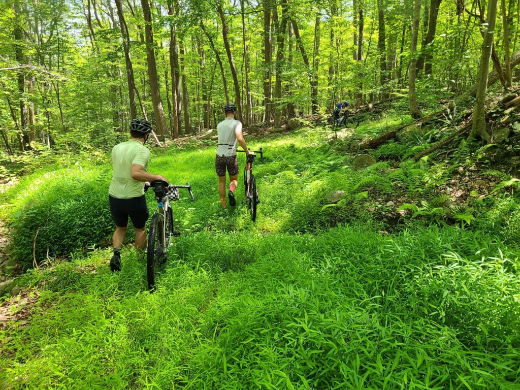
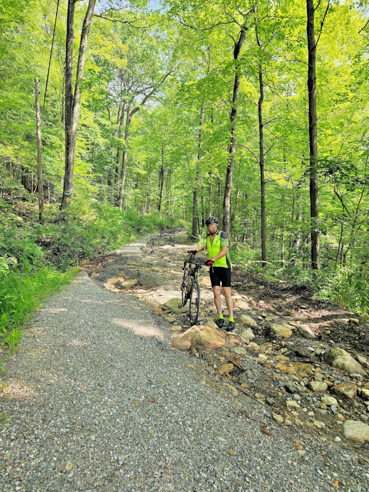
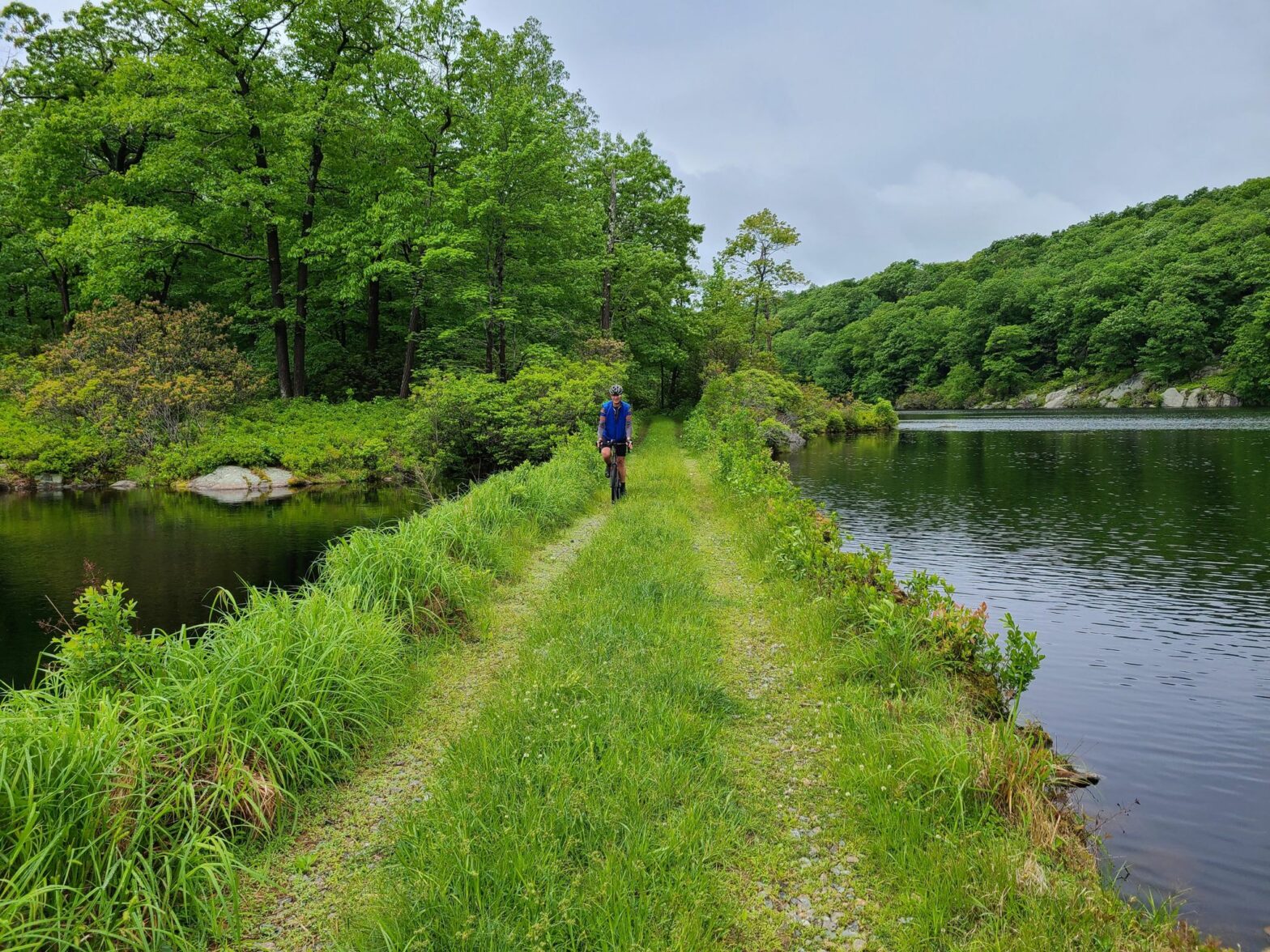
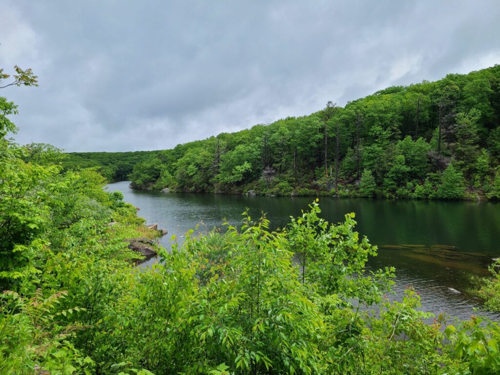
Overall: It was a fun day of exploration! Black Rock Forest was beautiful, as always. Stewart Forest was also a fun place to explore, though sections of our route where pretty overgrown – expect to travel through quite a bit of long grass – we advise using bug spray and checking yourself for ticks later, just in case. Expect the biggest climb at the end of the ride (sorry!), it’s the only way to get all the way back up to Black Rock Forest.
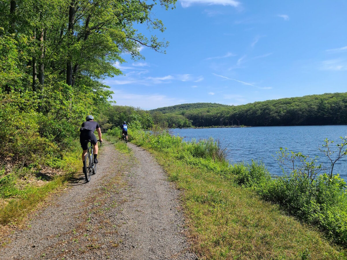
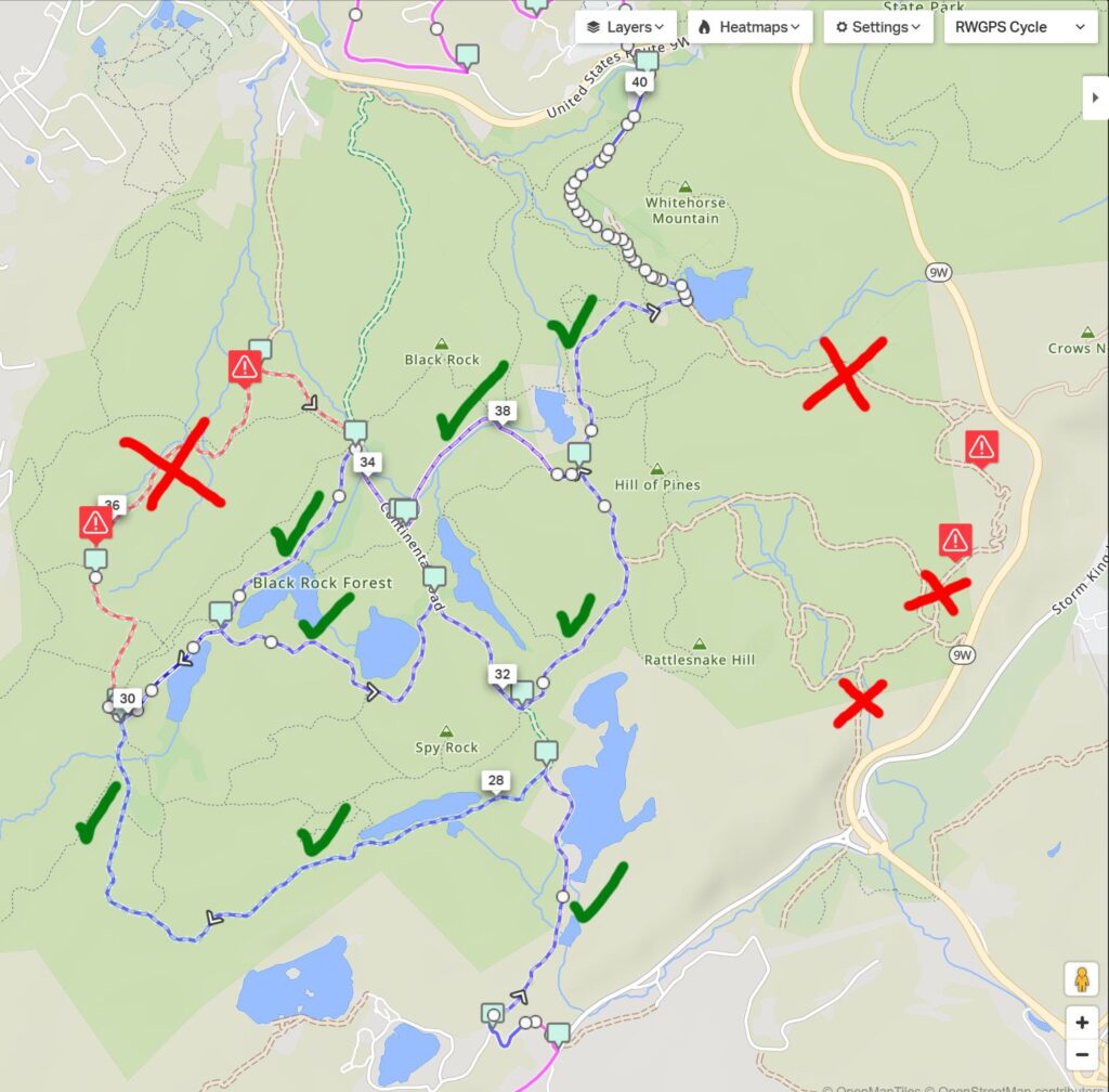
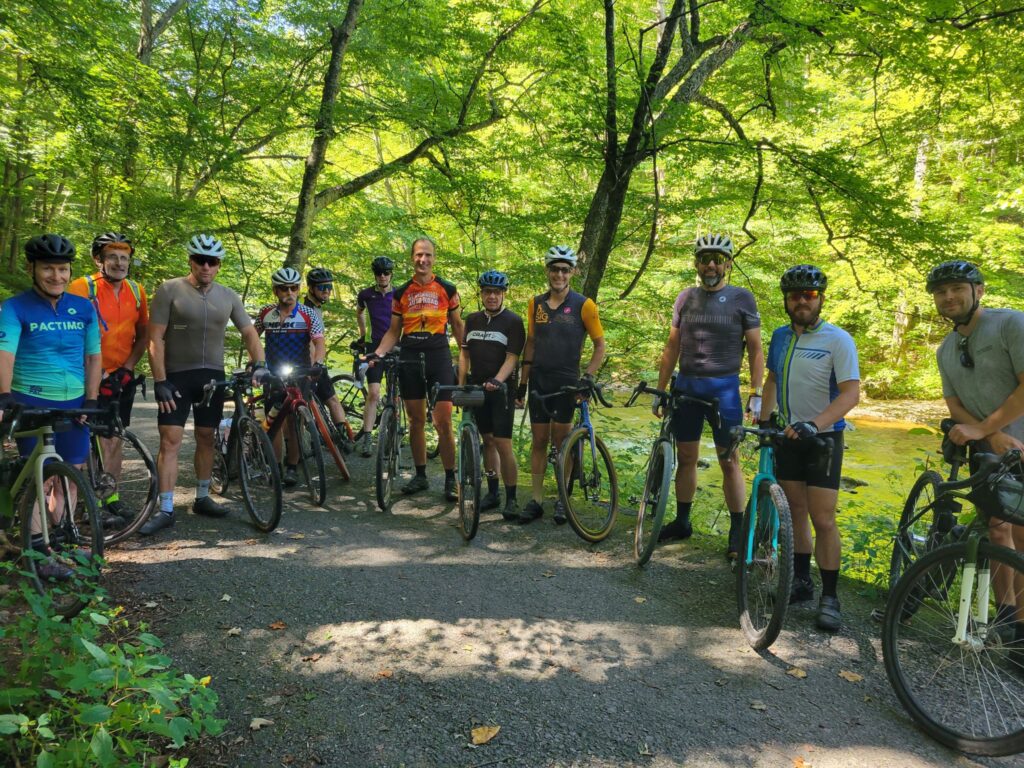
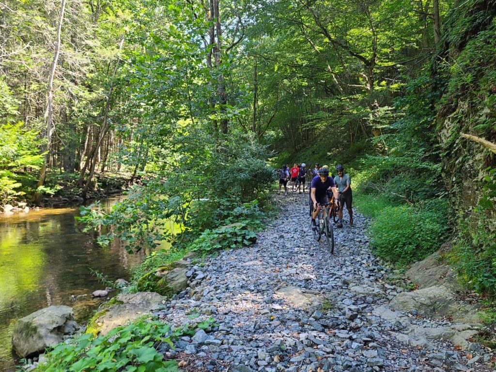
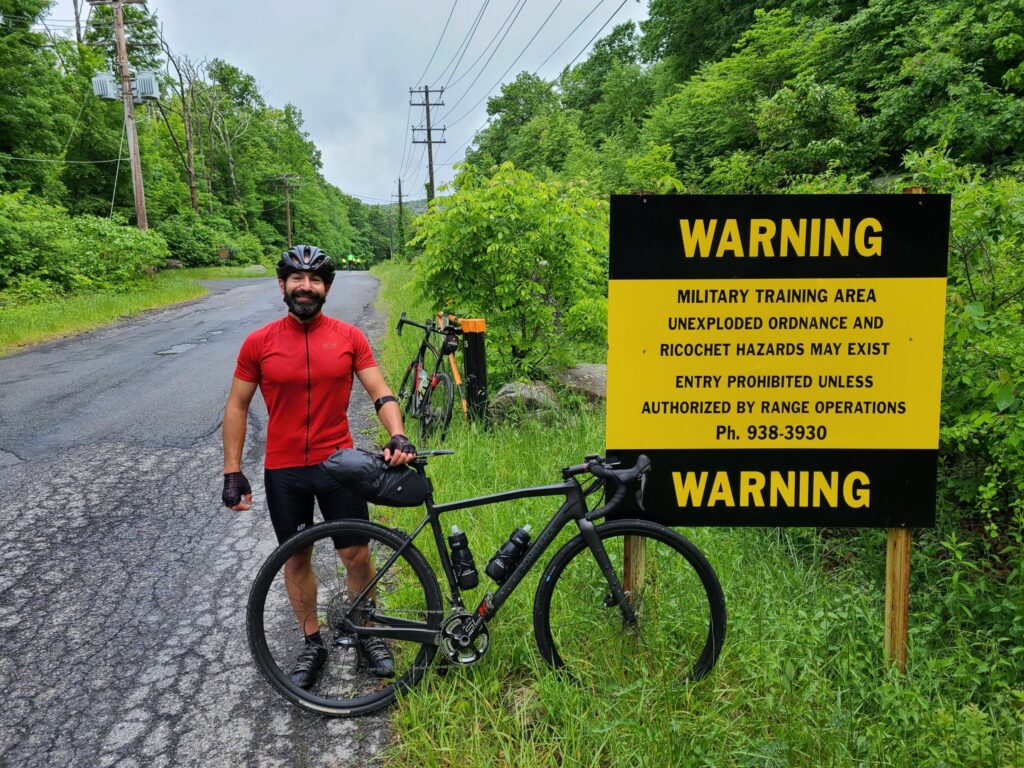
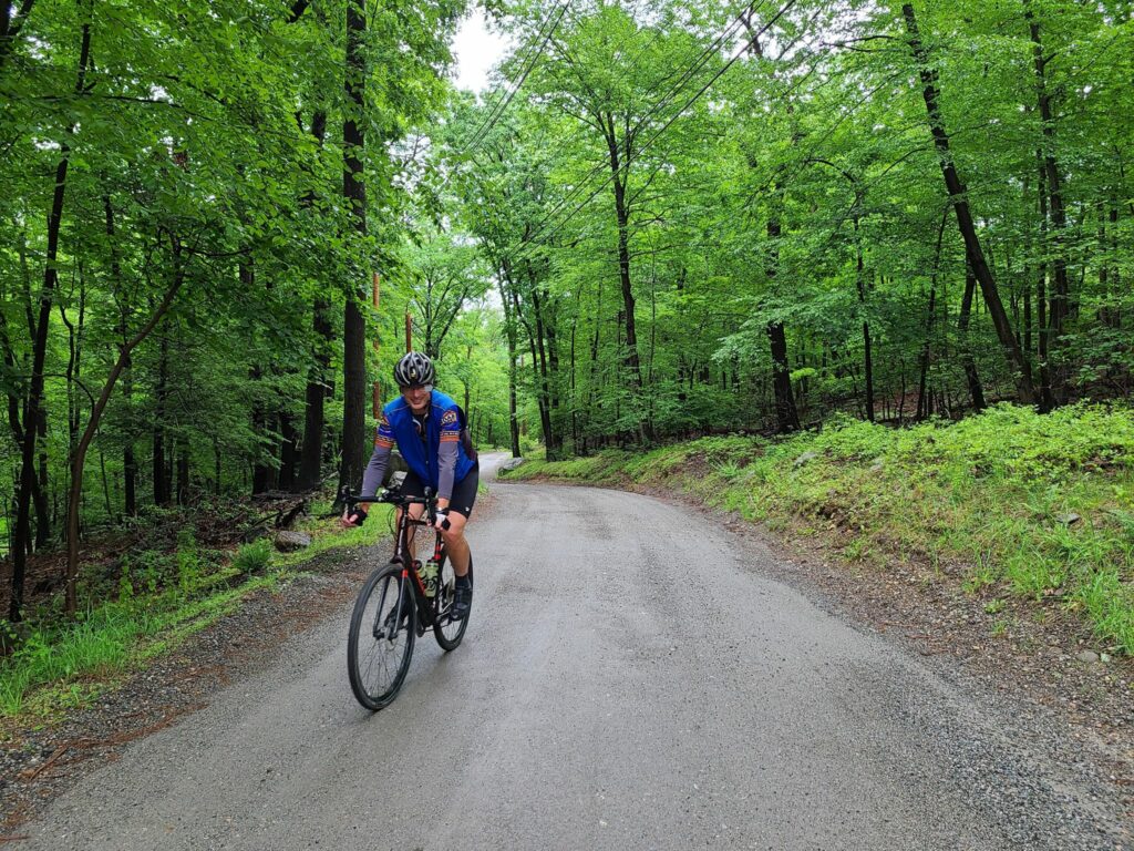
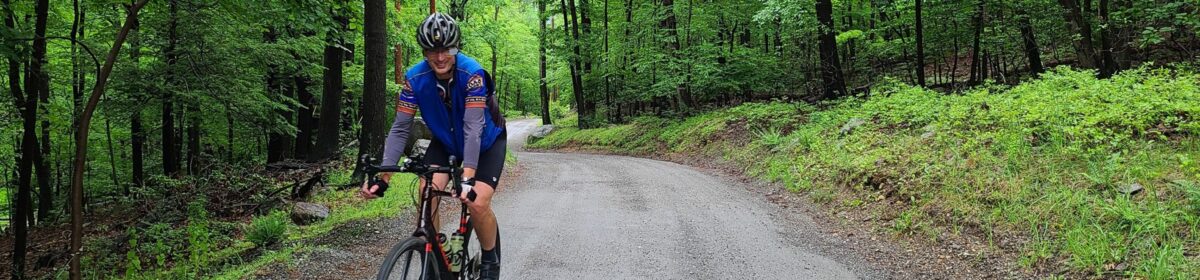
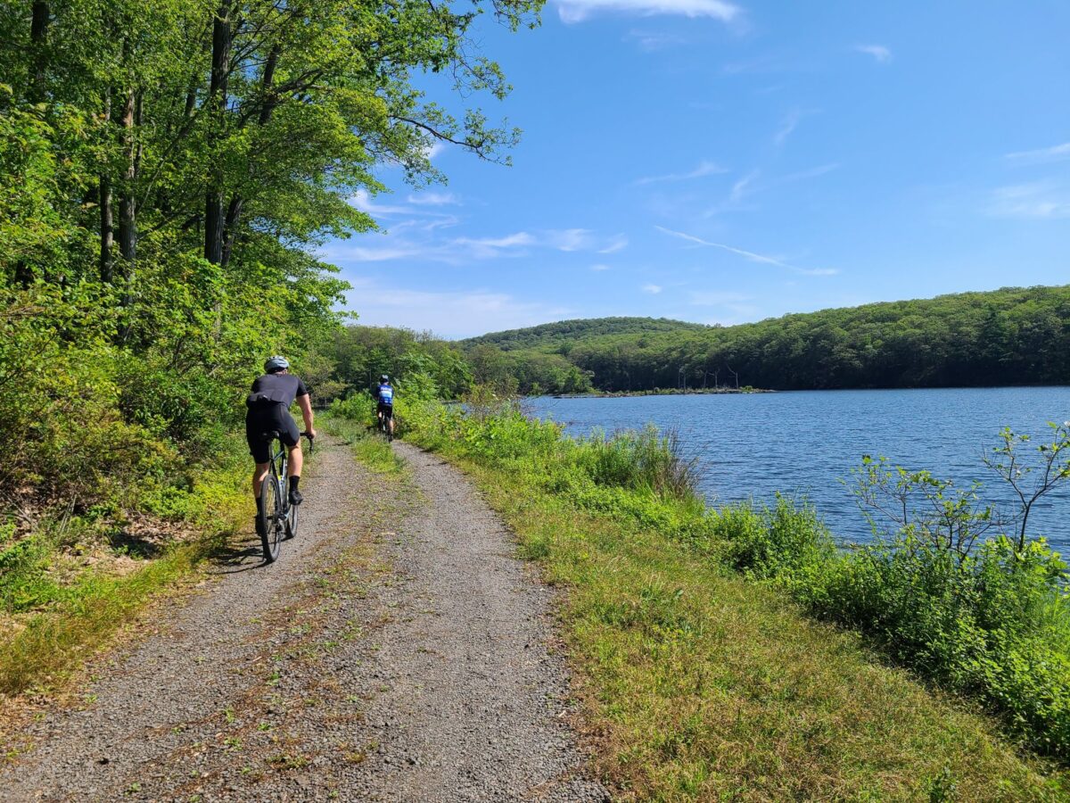
Come ready for adventure! We have an entirely new set of routes that will encompass the jeep roads of Black Rock Forest AND Stewart State Forest. Black Rock Forest is a hidden gem in our region. Steve and Kathy have been there in all seasons on bikes, snow shoes, and in hiking boots. The image at the top of this post should give you a flavor of what to expect.
RSVP HERE for the Black Rock Forest Ride
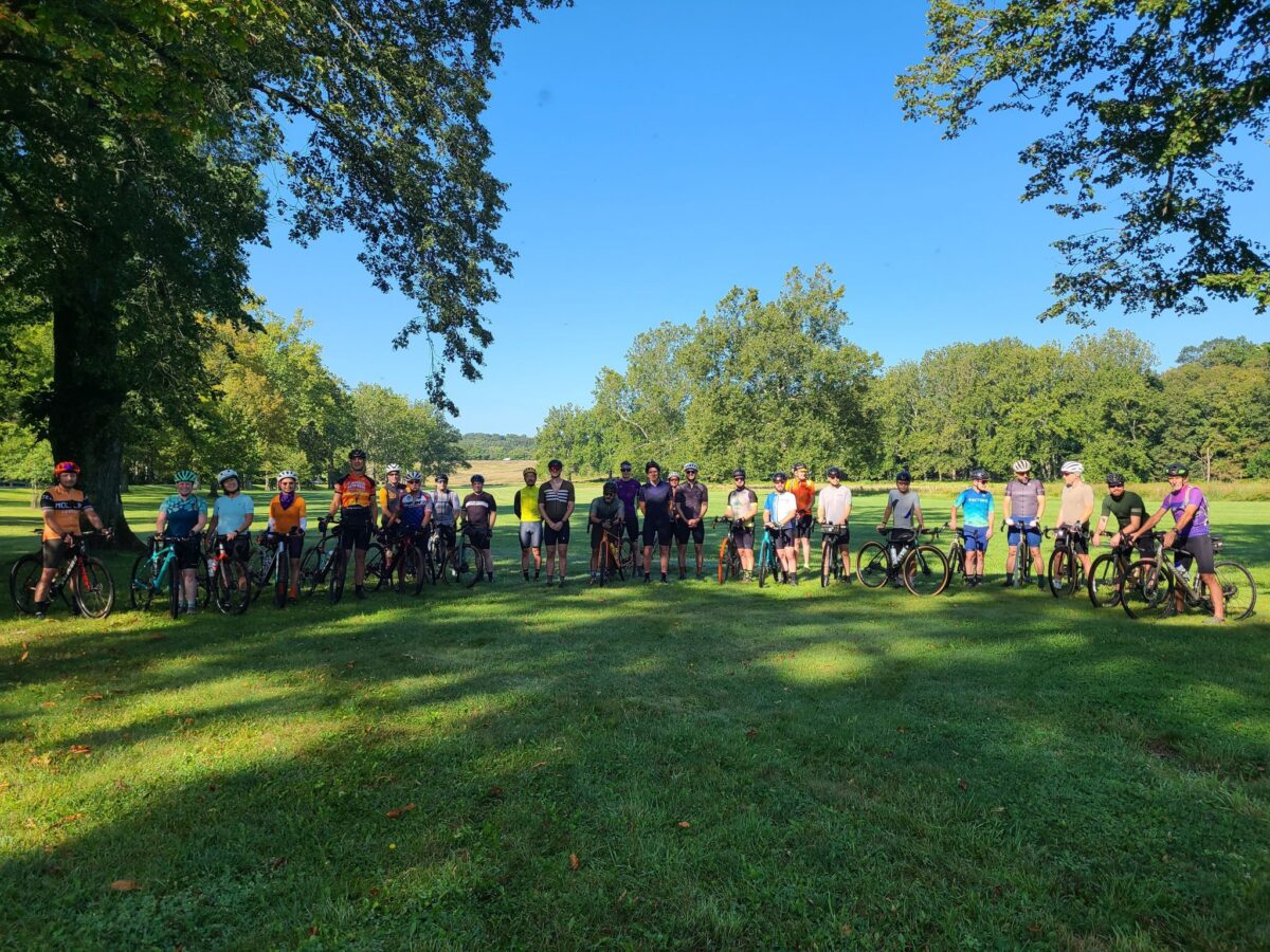
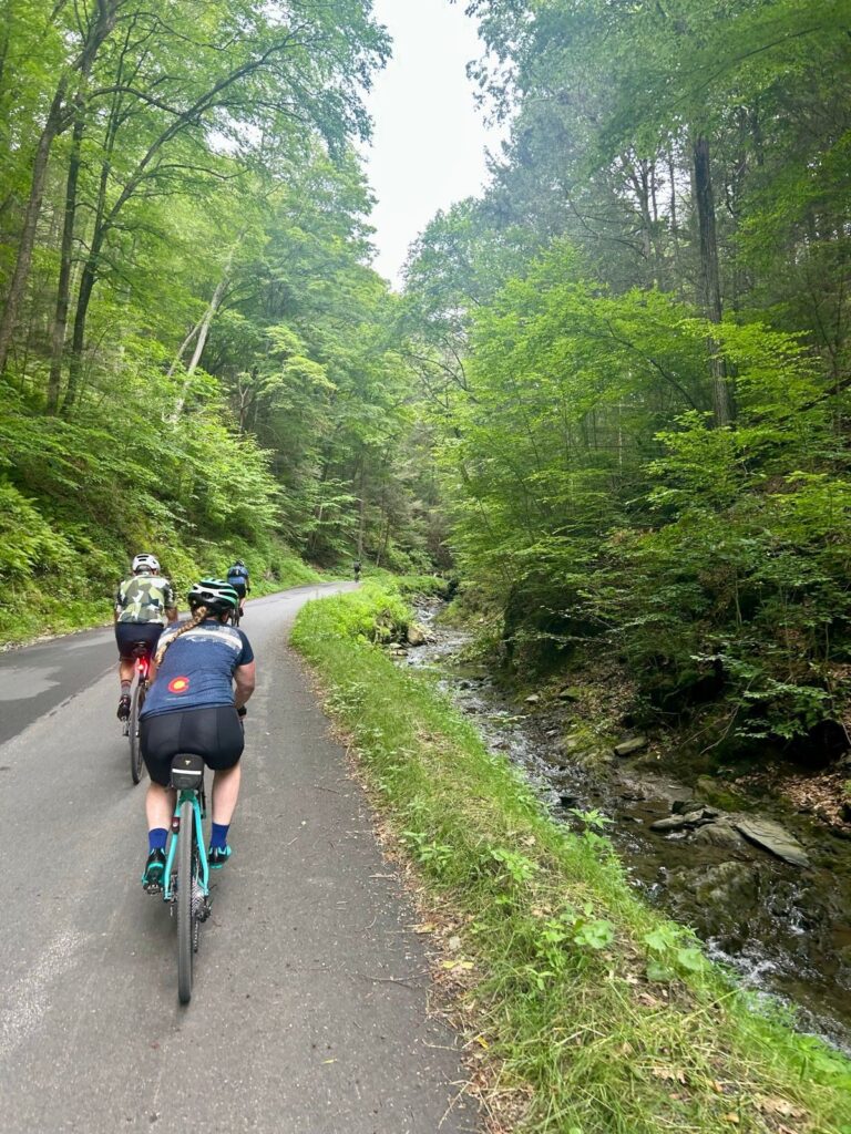
Ride Report: Our Dutchess County Gravel Grinder on July 12th was a lot of fun! Rolling hills, country roads, farms, forests, and great views from end to end. Plus a fun celebration at Kelly’s Creamery and Food Truck after the ride (ice cream, hot food and cold drinks).
You’ll find a quick recap and some photos on Steve’s Strava activity, here: https://www.strava.com/activities/15092008126
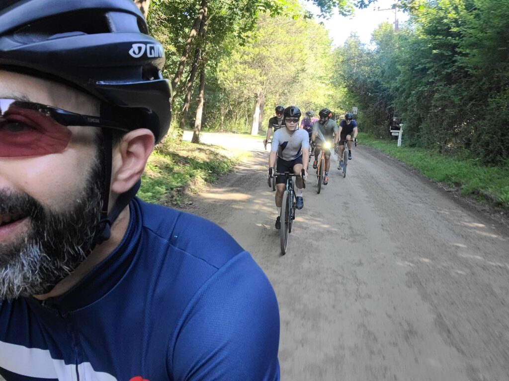
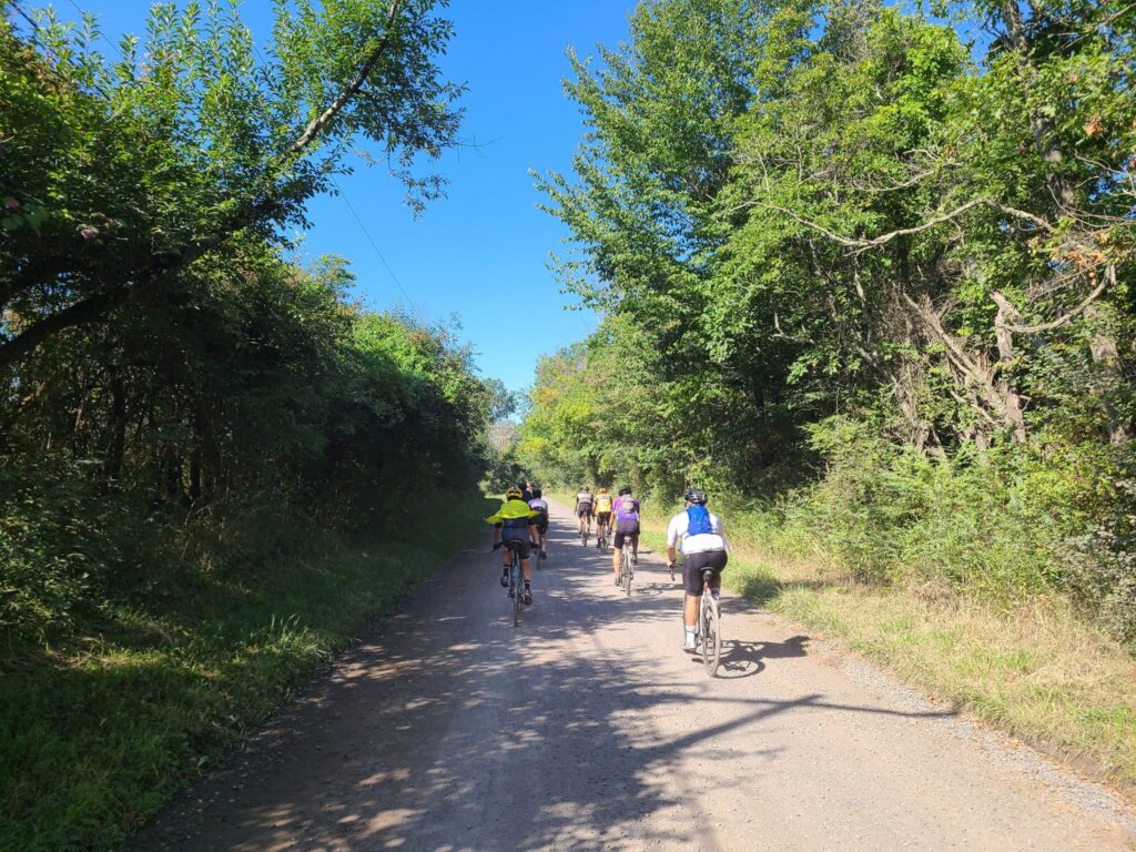
Photos from the Dutchess County Gravel Grinder (below):
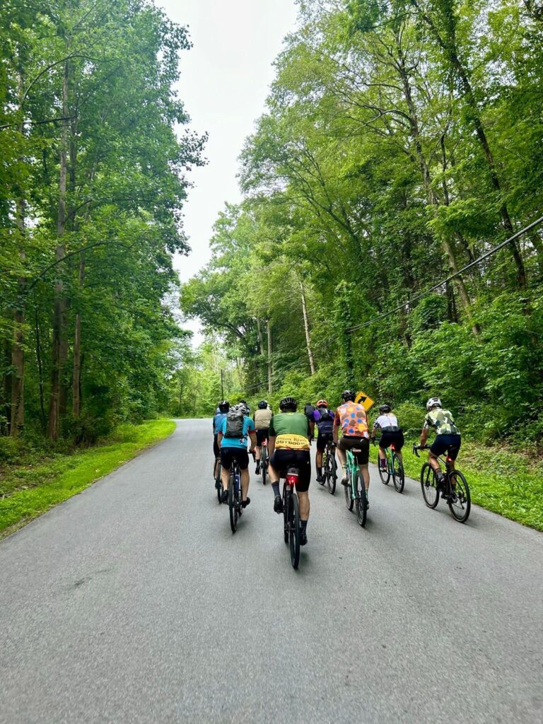
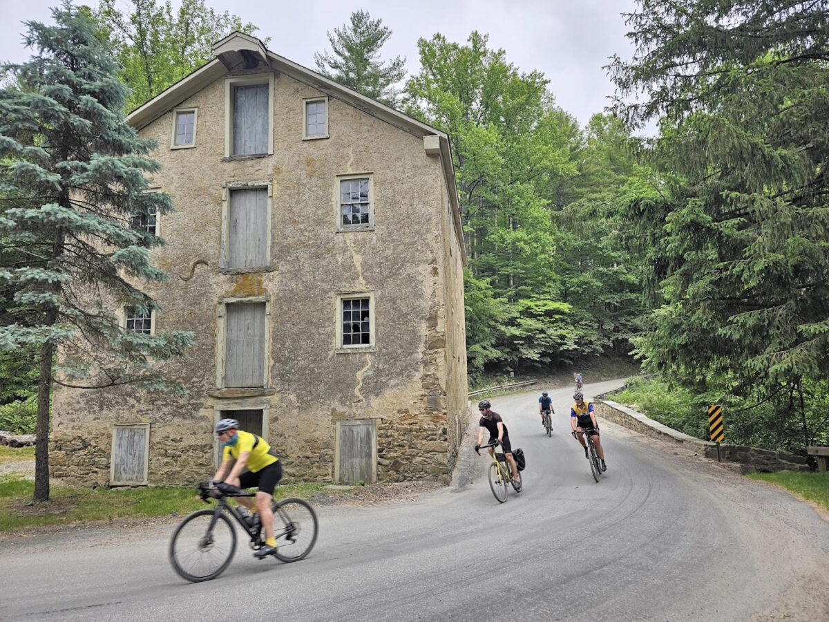
Thank you to Ek for this photo of the Medium distance riders on the road.
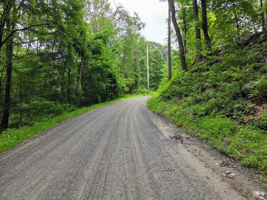
One of the many dirt roads along our route.
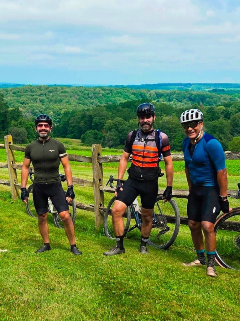
A few of the Long group at the top of Tower Hill Rd. Sadly, it was too hazy to see the Catskills in the distance like we often can from this spot! Thank you Leslie for taking this photo.
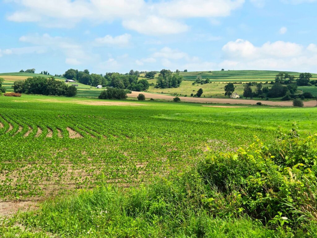
Some of the pastoral views along our route.
Medium group tackling Tower Hill Rd, which turns to dirt at the top. Another photo from Ek.