Compilation of Winter Gravel Rides

We typically post fewer rides in the winter and most tend to have a single pace group, rather than our larger “three speeds” rides. This usually means participants from our “long distance” (i.e. faster) pace group. Here are some quick ride reports from some of those winter rides. You’ll find route links for all of them.

Sunken Mine is Back! [Fahnestock / Cold Spring Gravel]

This was a last-minute solo ride to scout conditions in areas that had become unrideable due to storm damage. Fortunately Sunken Mine Rd is back in action. Bell Hollow road/trail, however, remains a mess! Avoid that one if possible.

From my Strava post:

What a beautiful winter day for a gravel ride! Only 58 miles, but the route had some zing, including the fun triple set of climbs: Miller Hill -> Long Hill Rd -> E Mountain Rd . In my mind, cool weather equals climbing weather – at least when I can manage to escape Long Island! Overall, an excellent ride – made better with awesome cookies for fuel – courtesy of Kathy.

Route: https://ridewithgps.com/routes/45165489

Steve’s Strava Post: https://www.strava.com/activities/10385562790

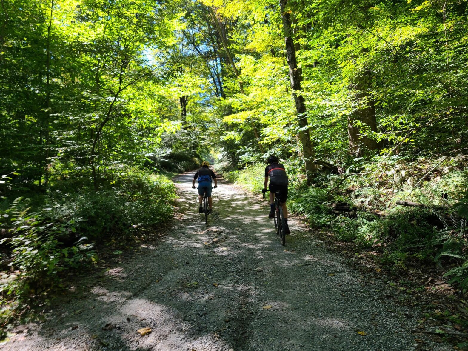
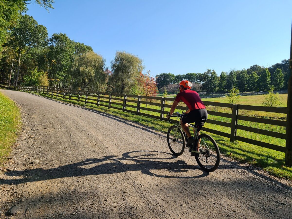
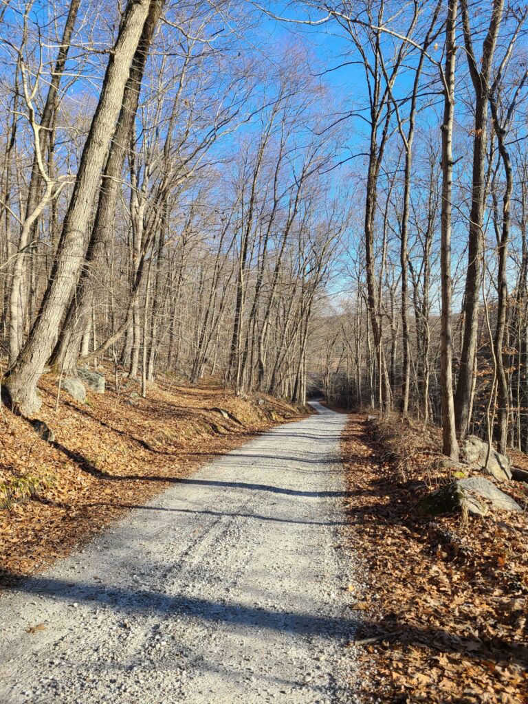
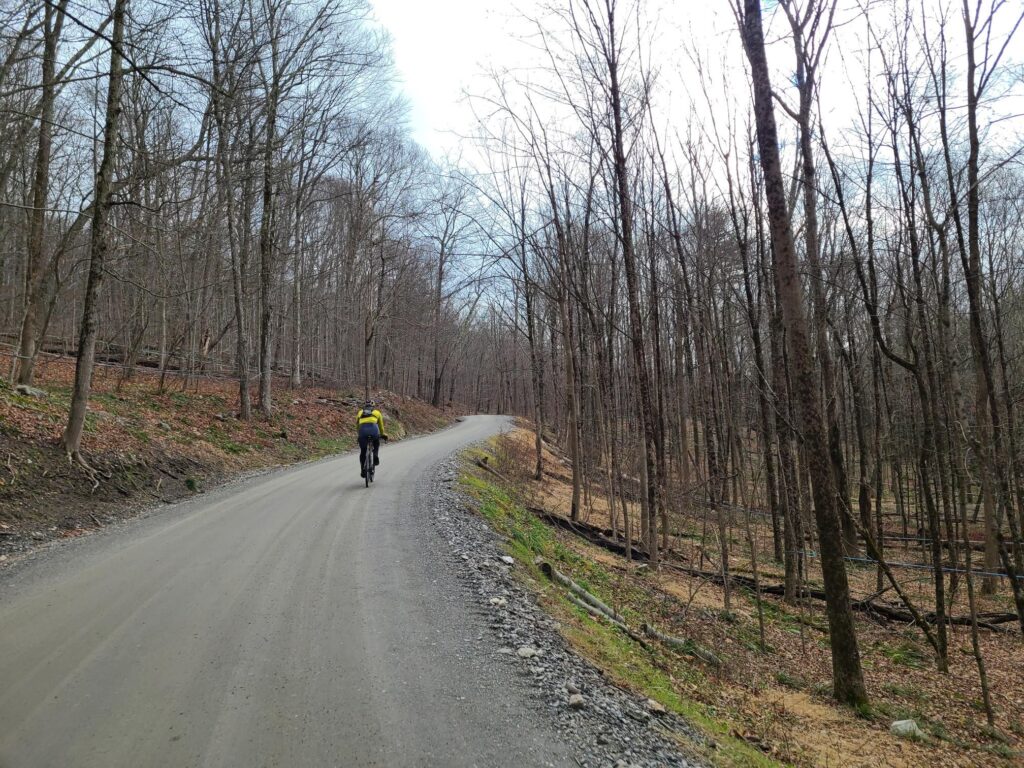
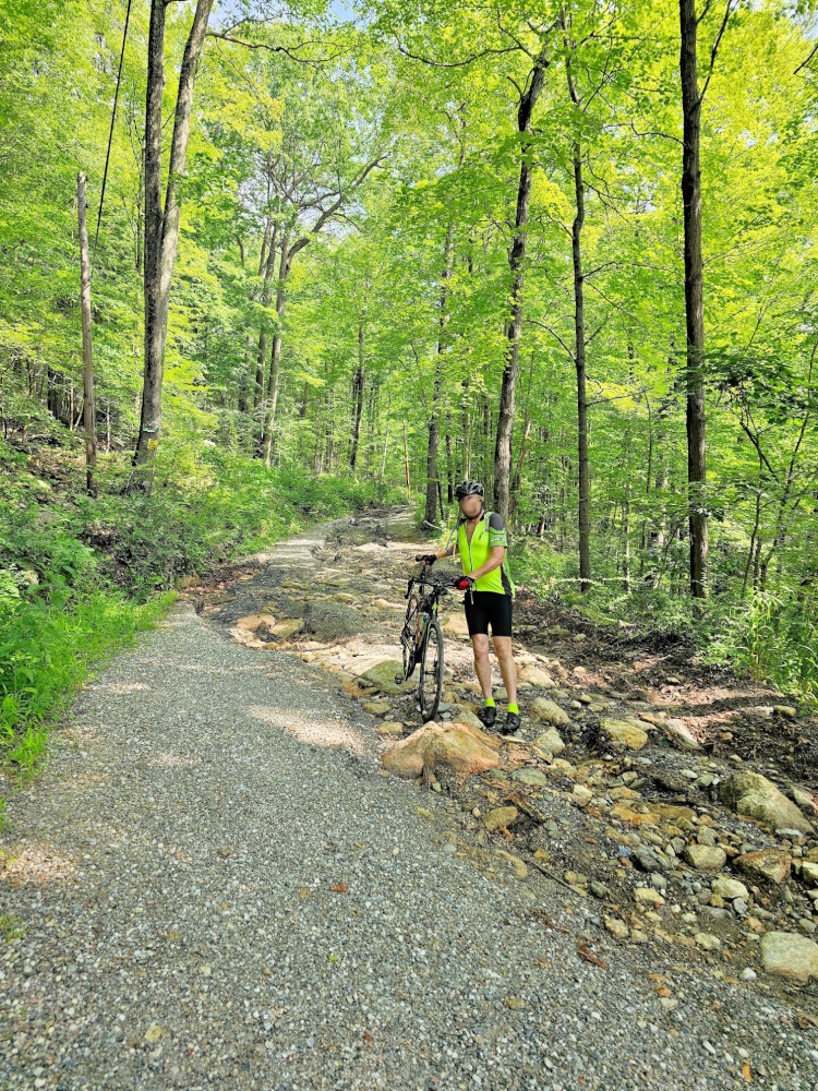
Freshly repaired Sunken Mine Rd.

New Year’s Eve Spectacular (Dover Plains)

Awesome New Year’s Eve gravel ride in Dutchess County, NY! It was beautiful out there today. A little chilly, but really not bad once we got moving. Thank you to everyone who came out to ride! I forgot to get a group photo at the start – we had to get moving to warm up, ha ha! Next time.

Route: https://ridewithgps.com/routes/36062828

Steve’s Strava Post: https://www.strava.com/activities/10470108550

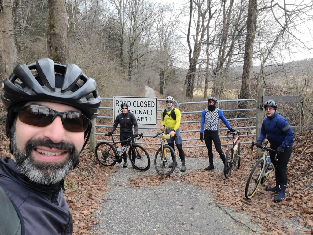
Enjoying some car-free miles on closed-for-the-season dirt roads in Dutchess County. Just make sure the snow has really melted! It takes a lot longer back in the woods and without car traffic!

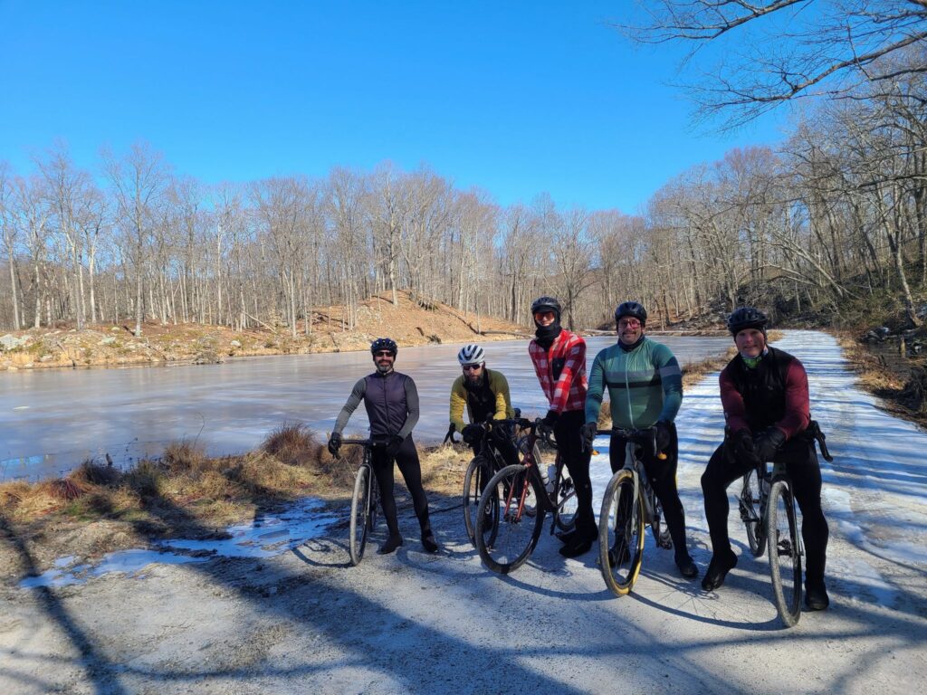
Great winter riding — we kept moving to stay warm.

GrNY: Frozen Gravel from Katonah

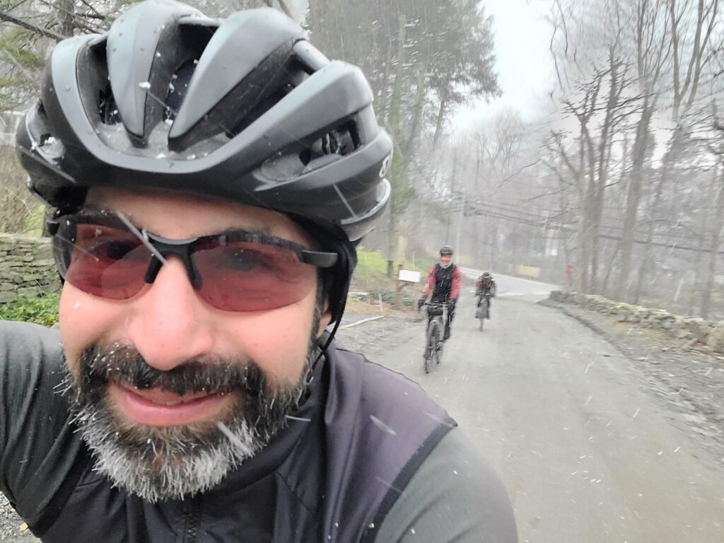
Lovely ride in Westchester County, NY! We had bright sunshine, clouds, calm air, blustery winds, and some short snow flurries. And then bright sunshine again! Dirt roads were in decent shape (a bit of mud in places, but not bad), paved roads 98% good with a few random bits of ice to avoid. And we traveled many quiet country roads through woods, horse country estates, etc. Thank you to everyone who showed up to ride on this chilly day!

Route: https://ridewithgps.com/routes/38559477

Steve’s Strava Post: https://www.strava.com/activities/10559491259

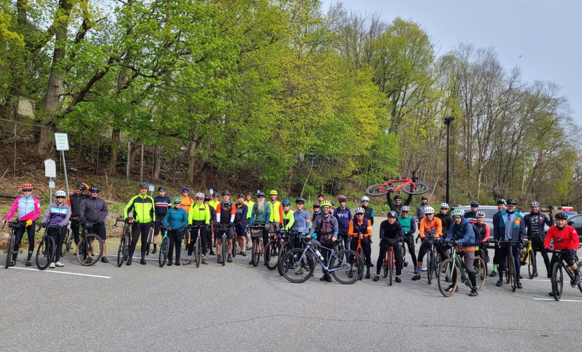
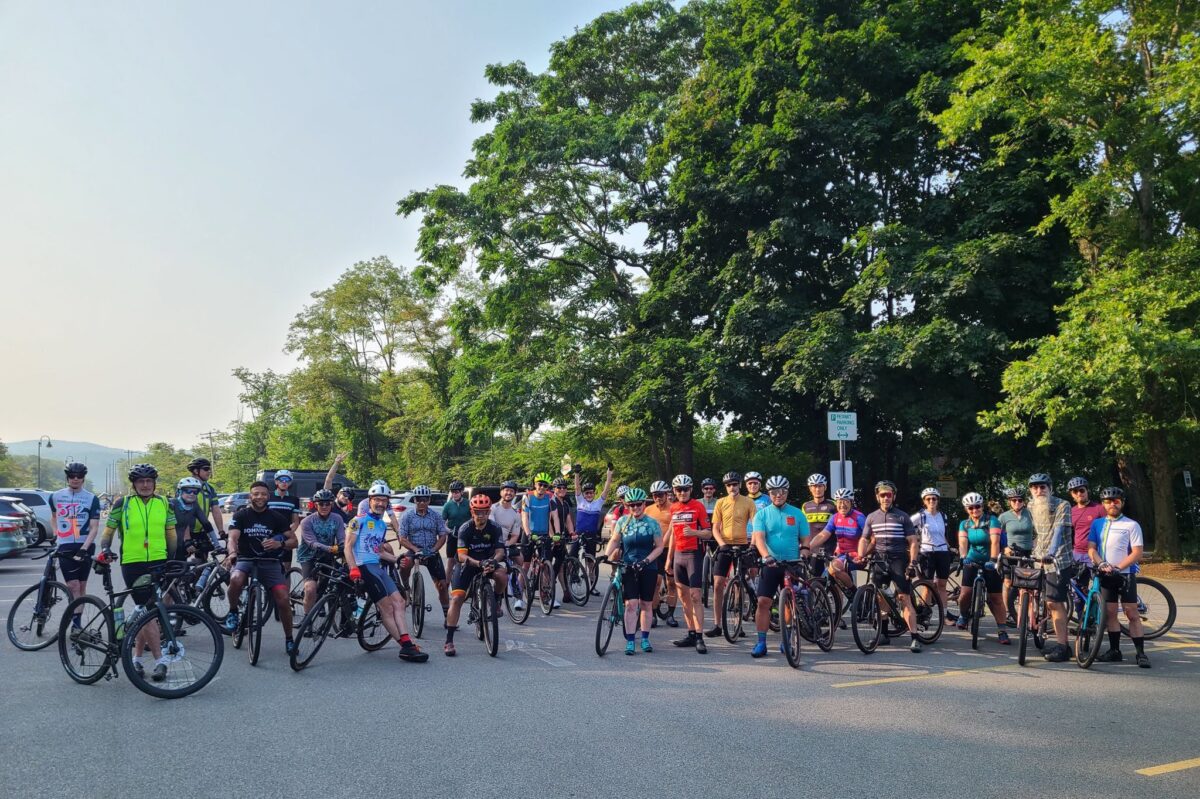
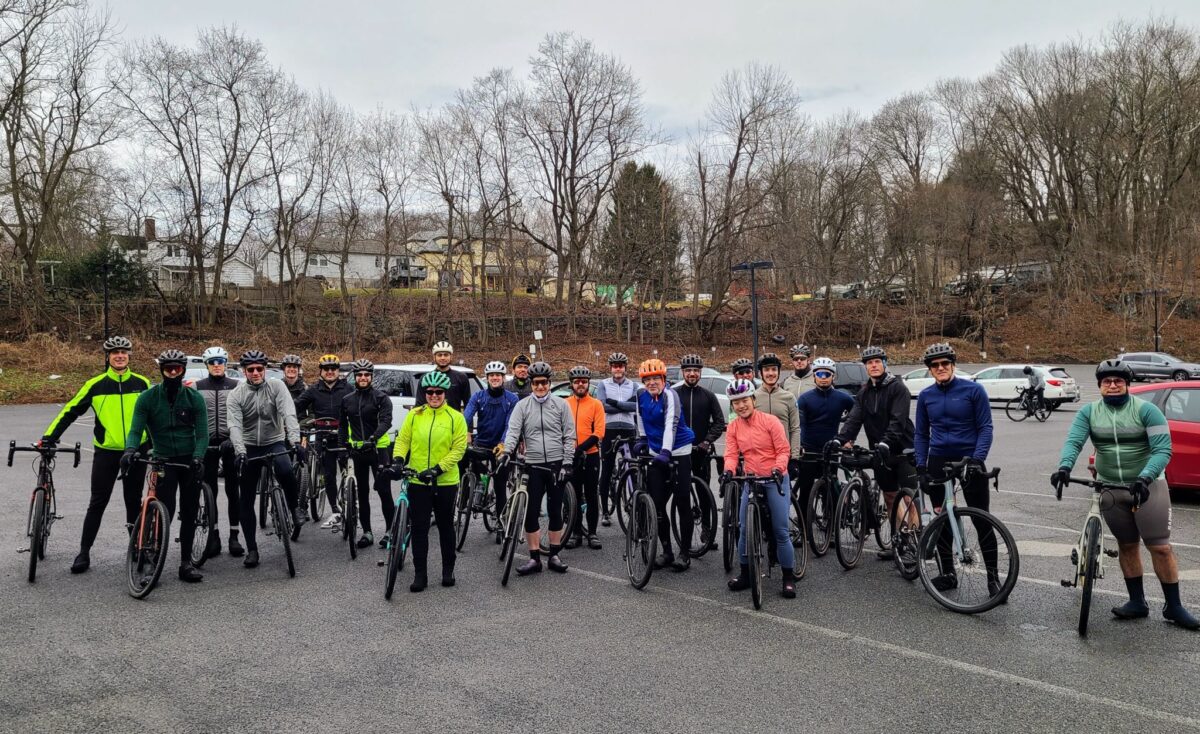
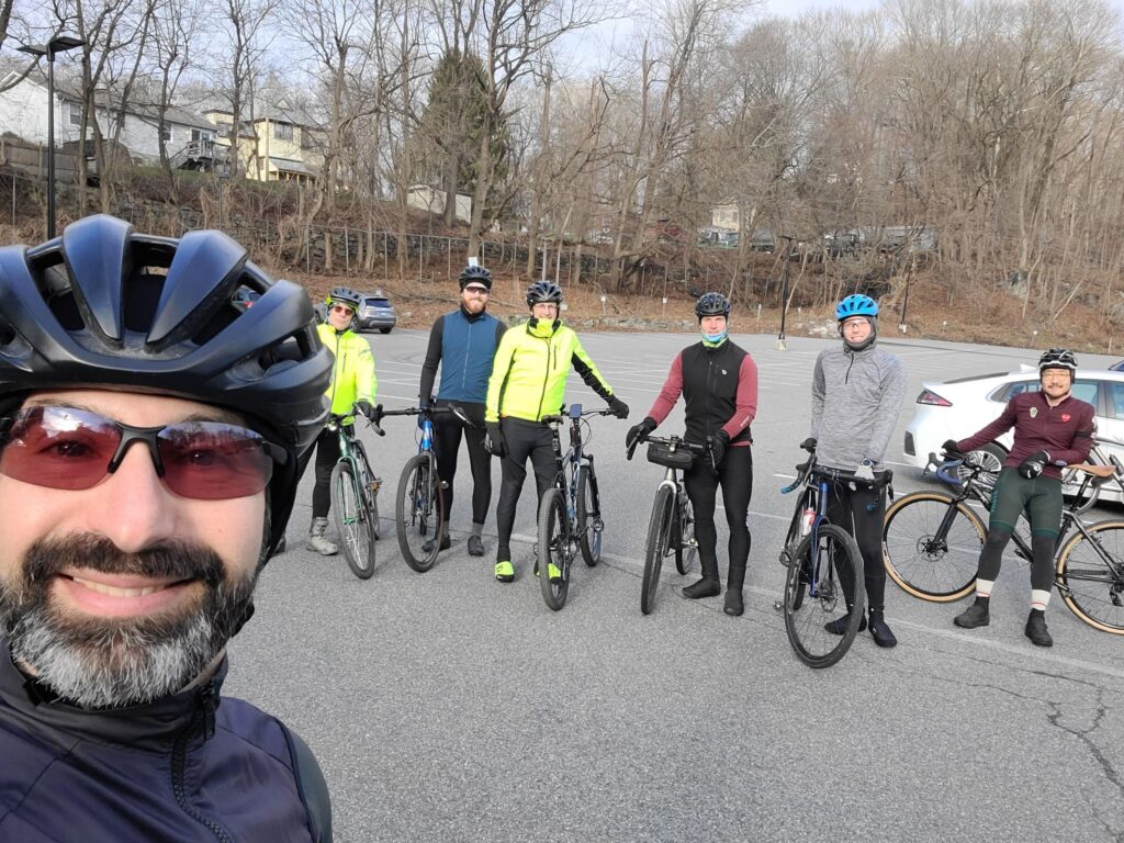
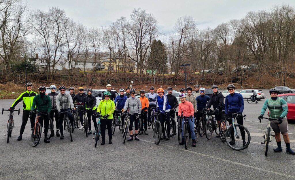
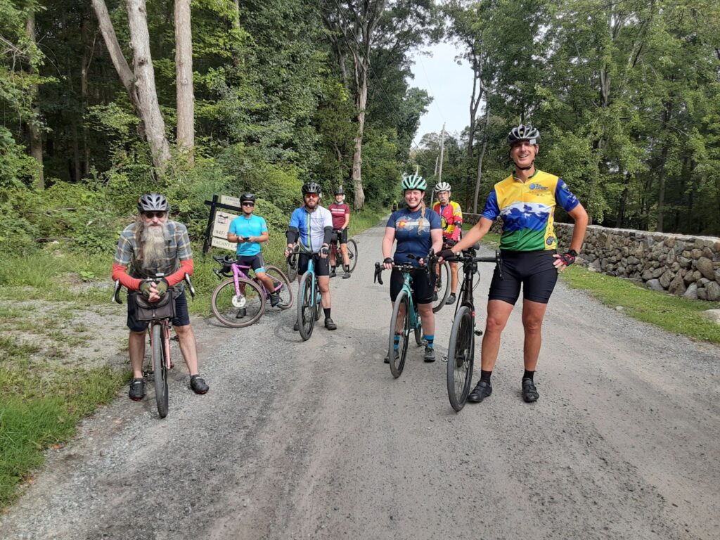
Group photo at the start in Katonah.

We had a little bit of snow in the latter part of the ride, but not much.

Cold Spring Gravel (Reversed) – And YES, there is still snow on Sunken Mine Rd

A return to the nearby Cold Spring area in Putnam County, NY. Wow, what a beautiful winter day! The sun was shining for our entire ride. We had a great crew of riders, a few of whom chose the shorter route to get back a bit earlier. And we had a bit of extra adventure when we hit Sunken Mine Rd. I stated in the ride invitation “We are hoping Sunken Mine will be snow free, but we’ve been surprised before!”. SURPRISE! There was definitely some snow and ice, ha ha!

Overall, it was a great day on the bike with plenty of climbing to keep us warm (and provide a humble average speed despite our efforts on the hills!). If you choose to travel in this direction, know that you will hit the two biggest climbs, back-to-back, during the last part of the ride. We chose this direction so the folks who were leaving early could maximize their time on dirt before peeling off. It worked out just fine.

Route: https://ridewithgps.com/routes/44320815

Steve’s Strava Post: https://www.strava.com/activities/10690160870

Super Bowl Gravel from Katonah

This ride was on Super Bowl Sunday. it was a “three speed” ride, with warm weather (for winter) so we had a great turnout. There were a few places where the ground was sticky and velcro-like, but conditions were good overall considering yesterday’s rainfall in this area. A bunch of riders hung out for beer and/or food at Paulie’s Deli after the ride. Paulie’s has some good beer on tap and more options in the refrigerator case. A big thanks to everyone who joined us today and made it a fun ride!

ROUTES:

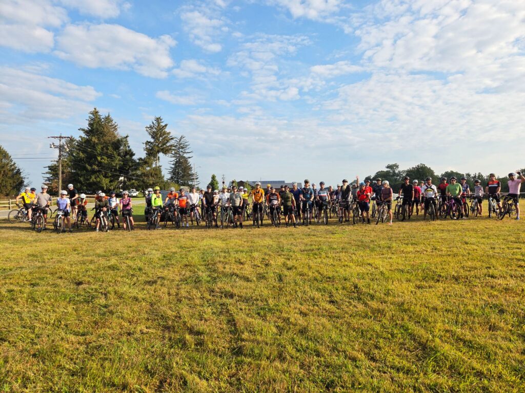
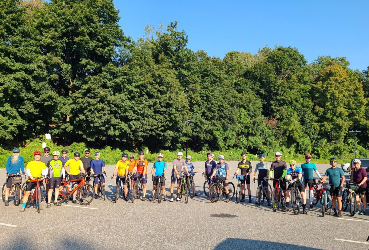
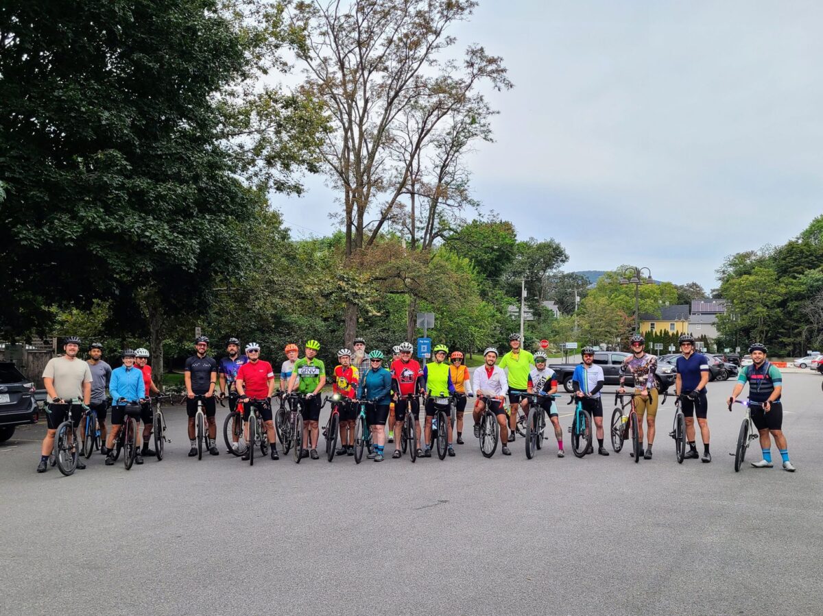
Group photo from Super Bowl Sunday ride.

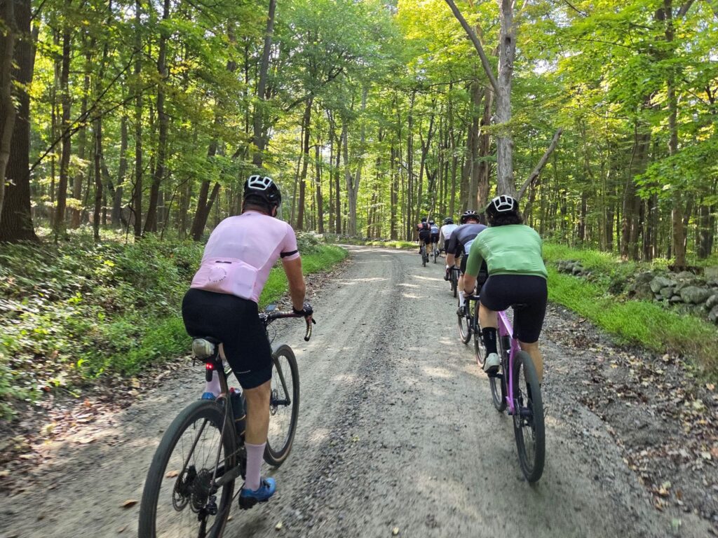
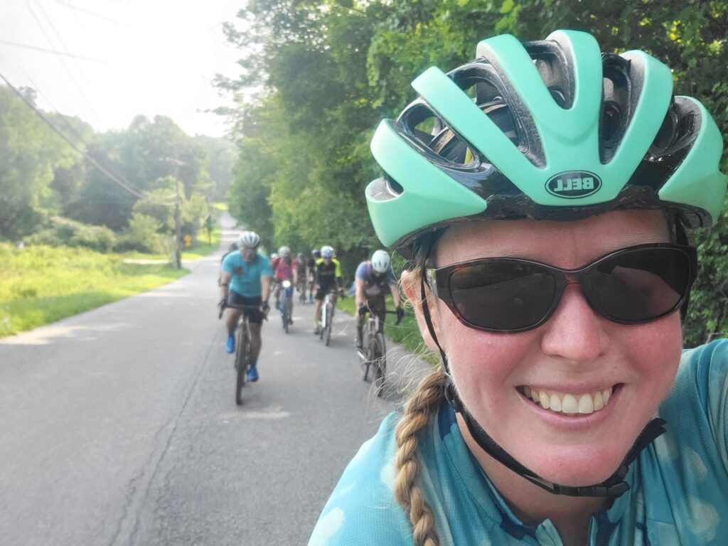
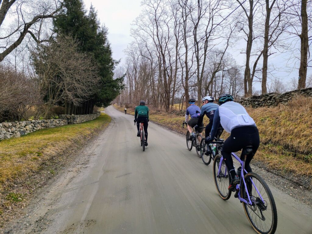
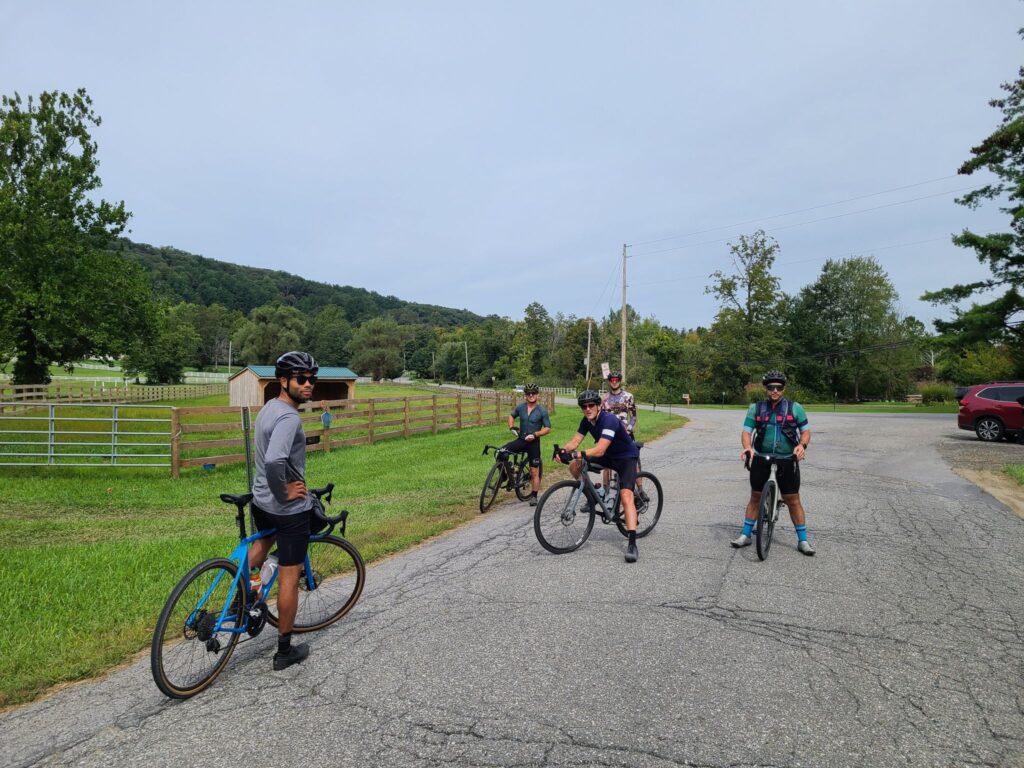
Some of the long distance group out on the road.

Dirt Roads and Killer Climbs from Peekskill (Abridged due to rain)

Yet another return to the Cold Spring area, but starting from Peekskill. Why a return? Rain was in the forecast, so we needed to start someplace close and Peekskill was ideal. It’s a very short train ride or drive from NYC and other places nearby, so we could get an early start.

Beautiful forested roads, fun twisty up-and-down descents, and far more dirt than pavement. It was a good day on the bike with some great company. Thank you to everyone who came out for this climb-fest! For folks who haven’t done as much riding yet this season, it was quite a way to get rolling again! While we didn’t do the 79mi/10,000ft version, even this smaller version had some zing. Some of us grabbed beer and tacos, which were extra enjoyable after a challenging ride!

Steve’s Strava Post: https://www.strava.com/activities/10925302794

ROUTES (We did the shortest one to avoid the rain).

54 mi, 6200 ft (5400 ft on RWGPS) “Stay closer to the cars/train” option:
-Strava: https://www.strava.com/routes/3200946825017014576
-RWGPS: https://ridewithgps.com/routes/45788595

67 miles and possibly 8700 ft (7600 ft on RWGPS)
-Strava: https://www.strava.com/routes/3200857010336915552
-RWGPS: https://ridewithgps.com/routes/45785833

79 miles and possibly 10,000 ft (8800 ft on RWGPS)
-Strava: https://www.strava.com/routes/3200855455111269472
-RWGPS: https://ridewithgps.com/routes/45781417

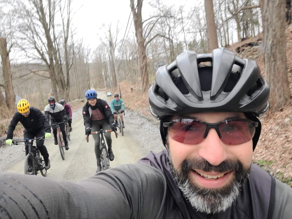
Staying warm on the hills!

Warnings about damaged dirt roads and trails in our region

Areas north of NYC experienced torrential rains during a mid-July storm (2023). It’s already mid-September, but some roads and trails have not yet been repaired. Be extra careful if you plan to ride in these areas, below.

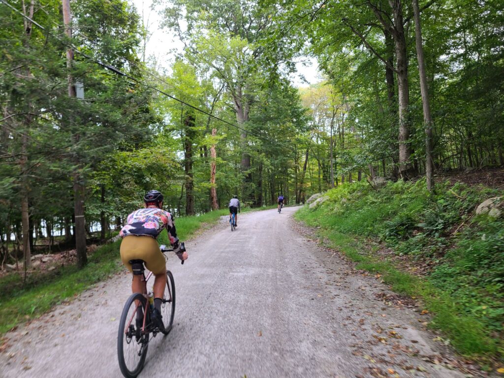
Parts of Sunken Mine Rd, in Puntam County, NY were destroyed during the aforementioned storm. I’ve heard from a few groups of riders who found this out the hard way. In one case, a rider went down pretty hard as they approached the destruction. Even on the “better” parts, I’ve heard that the road/trail is pretty rough and there are many downed branches. The photo above the post, with the rider in yellow, is of Sunken Mine Rd. It was taken by Ken shortly after the July storm. Thanks Ken!

NOTE: Many of the dirt roads in Putnam County are in rougher shape than usual. On our last ride, we encountered many more washouts, big potholes, or soft spots (where riders lost traction) than usual. Old Albany Post Rd is one example of a great dirt road, which is rideable, but extra caution is required – particularly when going downhill, where speeds will be high. We purposly routed uphill only for most of our time on that road, with one short exception, which you could consider cutting around by staying on Rt 9 in that direction.

Black Rock Forest is a beautiful place to ride. That said, it should be avoided by bike until the roads and trails can be repaired (consider a hike instead). The trails and some of the other infrastructure at this research forest were badly damaged in that July storm. I think some of that damage will take a long time to repair. Note: bikes are only allowed on the roads / jeep roads — see their trail maps. Currently, trails are open for hiking but they state: “Please exercise extreme caution on trails and roads, and especially stream crossings!”. Has anybody been to Black Rock Forest recently and ridden on the bike-allowed trails? It would be great to understand current conditions.

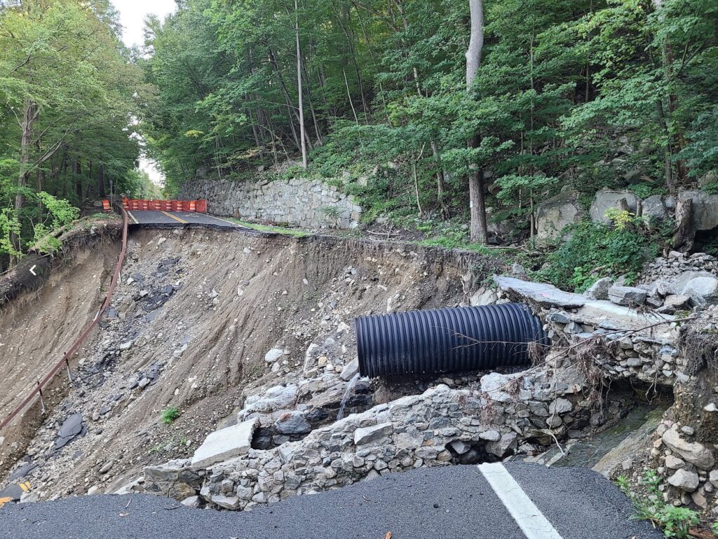
Storm King Highway still has a section that was washed into the Hudson River. Yes, this is a paved road, but it is also the main way to travel through that area, on a bike, without riding on the side of the highway (9W) with an intermittenly disappearing shoulder (the shoulder turns into a drainage culvert in places), which I do not recommend. You will *not* be able to walk around that destroyed part. One section of the rear slope is a sheer rock face with water running down it, like a waterfall that is ready to carry you down the cliff.

Know about other damaged dirt roads we should watch out for? Let us know! email: track.smart@gmail.com. In particular, we tend to ride in these areas, which are within striking distance of NYC: Westchester, Putnam, Orange, and Dutchess Counties in NY; Litchfield County in CT; and the Bedminster region in NJ. Thanks!

The photo below is the state of Storm King Highway as of recently (September 2023). I’m not going to provide a photo credit since you aren’t supposed to visit that spot. The waterfall-like section is not visible in the photo, but please understand that you will not be walking around this mess. You will be stuck on one side or the other.

Sept 16, 2023: Putnam County Dirt!

On this wonderfully cool Saturday morning, we tackled a fun and challenging set of routes that included many of the big climbs in Putnam County. We modified our original routes to avoid some dirt road sections that were badly damaged in a storm in July (particularly Sunken Mine Rd), but we still traversed some beautiful terrain.

The long route, unlike our Spring Gravel Series version, saved the two largest climbs for the last 1/3 of the ride – and we might have broken a couple of riders with that setup – sorry! Those two big climbs are tough at any time, but especially difficult after you’ve already done 5000 ft of climbing. The route was mostly downhill for the last ~10 miles if that counts for anything.

Many riders stayed to hang out over cold drinks and food after the ride, which was fun. Our long-distance group missed a few people before they headed off (we got back a little behind schedule). For the record: Kathy (medium group) and I (long group) had almost the exact same moving time, 4:14 and 4:15, so our planning was actually pretty good. That said, we ended up taking some longer pauses in the long distance group for a variety of reasons, which slowed things down a bit.

ROUTES:
-Long (v2): https://ridewithgps.com/routes/44397564
-Medium (v2): https://ridewithgps.com/routes/44402963
-Short (v2): https://ridewithgps.com/routes/44404608
Note: We’ll update these routes, particularly the long distance route, when Sunken Mine Rd is repaired again. The long distance route included a lengthy stretch along Rt 301, which was “acceptable”, but not as nice and quiet as the rest of the route.

Steve’s Strava Activity: https://www.strava.com/activities/9862724695

Speeding along dirt roads through the woods.

Riders from the long distance group taking a pause before the biggest climbs of the day.

Part of the medium distance group, stopping to regroup.

2023 Spring Gravel Series Recap

GrNY’s “Spring Gravel Series” (SGS) included 5 rides over 5 weekends and was great fun! Each ride had three speed groups, which corresponded to different route lengths (short, medium, long), so everybody would finish at about the same time to socialize after the ride. Join our Strava group to be notified of future rides (but see here first: https://grny.org/category/about-grny).

Just want the routes from each ride? Here’s a collection in RidewithGPS:
https://ridewithgps.com/collections/1897351?privacy_code=5fvuXMgvhsk25x93

SGS1 – Katonah, NY (May 6, 2023). Our first Spring Gravel Series ride of the year was an awesome time! Thank you to everyone who showed up and made it the fun day that it was. We travelled on some of Westchester’s most scenic rural roads. Many of us celebrated together after the ride at Paulie’s Deli, which has only about 5-6 taps, but always good stuff in them. Today’s selection included Lawson’s Finest Liquids: Sip of Sunshine, Maine: Lunch, and other non-IPA beers, of course. Those cold beers were well-deserved!
Photos and ride stats (Steve’s Strava profile):
https://www.strava.com/activities/9023394582

SGS2 – Dover Plains (May 13). It was an awesome ride. The long distance group had a fast bunch and we cleared this beautiful course impressively quickly. This route includes many of Dutchess County’s best dirt roads, including some hidden gems. We tackled the gorgeous streamside climb through Wassaic (Tower Hill Rd), Ludlow Woods Rd, Deep Hollow Rd, and so many other great spots. We saw everything from forests with deer hopping across the trail, to farms full of animals, to ridges with long pastoral views in the distance. Many of us capped off the ride together with burgers, ice cream, and beer.
Photos and ride stats (Steve’s Strava profile):
https://www.strava.com/activities/9066076684

SGS3 – Pawling, NY (May 21). Beautiful and fun ride! Thanks everyone who joined us today. The weather was perfect (warm enough for comfort, but not hot enough to overheat), and the condition of the dirt roads was really good. There were only a few rare spots that were soft from the previous day’s rain. And the route was as beautiful as I remember it. Many of us celebrated with cold beer and food at O’Connor’s Public House after the ride.
Photos and ride stats (Steve’s Strava profile):
https://www.strava.com/activities/9115448504

SGS4 – Cold Spring, NY (May 27). Awesome ride with a huge turnout! Much of the ride took place near Fahnestock State Park, with lots of fun and challenging climbs. We found all the hills today! The “long”, “medium”, and “short” distance groups accumulated ~7500ft, ~5400ft, and ~4800ft, respectively. There were beautiful forested roads, ponds, crazy climbs, and steep descents. A really fun time! Some of use stuck around for beer, ice cream, and snacks by the Hudson River in Cold Spring.
Photos and ride stats (Steve’s Strava profile):
https://www.strava.com/activities/9152286381

SGS5 – Far Hills, NJ (June 3). Spectacular ride. We traversed some of the region’s best rural roads, tackled the rugged climb through the Teetertown Ravine and later traveled through the spectacular Lockwood Gorge. The rest of the ride was wonderfully scenic, too. We had a great turnout – and missed a few from the group photo, as always. Most people joined us for drinks and snacks at the park after the ride. It was great to catch up with returning riders and to meet many new folks!
Photos and ride stats (Steve’s Strava profile):
https://www.strava.com/activities/9196314449

Questions? Feel free to reach out to Steve (track.smart@gmail.com).

Unofficial Frozen Apple Ride + Bonus Dirt

On Sunday, March 26 a dozen GrNY riders joined in the Unofficial Frozen Apple Ride (a completely informal group ride).  There were around 30+ riders at the start, so a big group.  The official Frozen Apple Ride was supposed to happen in March of 2020, but was cancelled due to COVID restrictions.  It was sponsored by the Westchester Cycle Club (WCC), Pedal Peekskill, and River Outpost Brewery.  Laura (of WCC) thought it would be fun to bring it back as an informal group ride, which was a great idea.

It was a lot of fun! It was great to meet a number of new riders and enjoy some dirt roads with good scenery and very few cars. Some of our faster riders did an extended route, so we would finish in a similar amount of time to other GrNY riders. Some of us gathered at the River Outpost Brewery for burgers and beer after the ride. That was a fun post-ride stop, though be forewarned that they were very busy on what was a beautiful, warm, sunny day. Getting beer from the bar wasn’t too hard, but ordering food was hit-or-miss (they closed the kitchen to new orders periodically to allow them to catch up).

The route is mostly on dirt roads and pavement. HOWEVER, expect a challenging forest trail around mile 18 (shown in blue). If you don’t feel comfortable riding all of it, walking won’t slow you down much. It’s an uphill grade, so nobody will be going particularly fast. It’s also a fairly short section.  Also: Sunken Mine Rd and the forest trail are not maintained in the winter and are snow-covered for much longer that you would expect in the winter and early spring!  One rider visited the route just a week earlier and found large sections covered in snow. Most riders parked at Lents Cover Park, which worked out well.

Main Route (42 miles, 4100ft):  https://ridewithgps.com/routes/42308101

Extended Route (48 miles, 4800ft): https://ridewithgps.com/routes/42308406

The extended route doesn’t add a lot of new roads.  It largely crosses over the original route.  It was created so that faster riders would end in a similar amount of time as slower-moving riders.  This worked out well.

OUR ACTUAL RIDE: https://www.strava.com/activities/8783273906

Beautiful riverside cruising on dirt roads.
Poster for the event that never happened (the 2020 Frozen Apple Ride)
Poster for the event that never happened (the 2020 Frozen Apple Ride).

“Fall Back” Gravel Ride: Brewster > Wingdale > Wassaic

In addition to turning back the clocks, on November 6, 2022 a group of GrNY riders tackled a gravel ride of 79 miles and over 7,000 ft of climbing (or a truncated 65 mile version).  This ride offered a bit of redemption, because the previous time we did this route was in early March, when we encountered many miles of snow-covered back roads.  The ‘normal’ dirt roads were fine that previous day in March, but the closed-for-the-season dirt roads had not yet melted.  Live and learn! 

Overall, this was a fun day out and a great first GrNY ride since my (Steve’s) return from Colorado.  It was a beautiful route with a mix of rural dirt and paved roads. And it was such a wonderfully warm day. It was hard to believe it was November.  Some of us celebrated with beer and pizza after the ride and both tasted mighty fine after our efforts.

There were a few minor imperfections on the day, but they didn’t dampen our spirits (even if they did dampen the roads!). The weather turned a bit wet and misty during the second half of our ride, but on such a warm day it really wasn’t much of a bother. And the first part of our ride, Pugsley Rd, was in the process of being redeveloped so it was a sketchy trek through an in-progress construction zone.  Thankfully, there was no active work on this weekend morning.  Say farewell to the formerly- quiet, and formerly-dirt Pugsley Rd!  It will soon be paved and have a huge warehouse operation, a large recreation center, and lots of truck traffic.  You may need to choose an alternate route to start this ride if construction is still underway.

The top “loop” of this ride has much more gravel than the bottom loop, especially now that Pugsley Rd is no longer dirt. It might be time to develop a better route that no longer starts from Brewster.

ROUTES:

– Full, 79 mile version:  https://ridewithgps.com/routes/41370685

– Shortened 65 mile version: https://ridewithgps.com/routes/41370810

ACTUAL RIDE: https://www.strava.com/activities/8079592997

WARNING: After emerging from Penny Rd onto pavement you will encounter a crazy steep downhill. Go slow! One rider almost lost control. I guess I wasn’t clear enough when I tried to warn folks.

Note:  This version of the 79-mile route switches the direction of the “top loop”.  This is a change for the better.  First, it puts our lunch spot (Kent, CT) at mile 35.5, which is better timing.  Second, it allows for a  shortened 65-mile route that keeps everyone together until lunch time.  Third, it allows us to ride *up* Macedonia Brook State Park, which means you get more time to enjoy the lovely scenery, rather than bombing down it at high speed.

Tackling the climb inside West Mountain State Forest on the way to Penny Rd
Tackling the climb inside West Mountain State Forest on the way to Penny Rd. Penny Rd is definitely not a road anymore! It is a rough forest trail, but doesn’t last for long.
Foggy road through rolling farms and forests.

Brewster to Central Dutchess Dirt

On June 18, 2022, GrNY riders started near Brewster, NY and headed northward across Putnam and then into Dutchess County, NY. It was absolutely perfect weather for riding! The high temperature was around 68 degrees with just enough cloud cover to make for dramatic photos, but there was no rain. A medium-speed group, led by Kathy, tackled 50 miles with 4800 ft of climbing. A faster group, led by Steve, rode 66 miles with 6000 ft of climbing.

Kathy’s ride: https://www.strava.com/activities/7330598829
Steve’s ride: https://www.strava.com/activities/7330581760

Overall, this was a beautiful mixed-surface ride with stretches of dirt road, rural paved roads, and some very short sections of rougher forest trail. There were great views throughout the ride. Both routes are highly recommended. Tires of 35mm width are plenty for most of the ride, but some folks probably appreciated wider tires for the short trail sections. Be forewarned that both routes had considerable climbing. For the medium group, the hardest climbs came in the first half (ideal). For the faster group, the climbs were more well-distributed, with one of the tougher climbs appearing 51 miles into the ride. That said, both groups had to climb back up Bullet Hole Rd near the end of the ride, which probably seemed like a bigger climb than it really was, given everyone’s tired legs.

The goal for both groups was to end at the same time, despite the different distances traveled. This almost worked, but not exactly! The *moving time* of both group leaders was within about 15 minutes of each other, which was well-planned. However, we “laggards” in the faster group took our lunch break during the ride, while the medium speed group only stopped briefly and ate more substantially at the end of the ride. Now I know why Kathy’s group got back so much quicker! The medium-speed group was happily enjoying cold drinks when we joined them at the post-ride meeting spot. We had some well-earned cold beers ourselves when we got there.

Things went well on both rides, with one minor exception. For the faster/longer distance group, I originally planned for us to filter water around mile 19 (to top off our water bottles), but with 25 riders signed-up by mid-week, that seemed like it might be too inefficient. Instead, I added some extra distance for a stop at the General Store near Bulls Bridge in South Kent, CT. Unfortunately, it was closed! We searched around and eventually made use of a convenient water tap at a nearby inn (they were nice about it). Note for future riders of the longer route: Bring plenty of food and water!

ROUTES:

Medium Speed (50 miles, >4500′):
https://ridewithgps.com/routes/32953734
Food and water stop at mile 26 (Cousin’s Deli, Pizza, and Bakery)
A second food/water stop possible at mile 42 (Squaro’s Town Square Pizza).

Faster Speed (65 miles, >5000′):
https://ridewithgps.com/routes/39539451
Bring plenty of water and food! The first reliable stop is around mile 47 (gas stations with Cumberland Farms / Dunkin) or mile 50 (good pizza by the slice + deli). Alternatively, future riders could detour to Wingdale around mile 24, which adds a few extra miles, but has more reliable

NOTE FOR THE FUTURE: Almost immediately across the street from the Park & Ride (i.e. starting location) is Pugsley Rd, which is currently rural and dirt. HOWEVER, all of the trees have been cleared for the first 1/2 mile and the entire area is slated for a huge warehouse and distribution center. It sounds like Pugsley Rd will soon be a busy, paved trucking road and the current intersection will be widened to 4 lanes with turn signals. There will also be a huge sports complex on some of the land they are clearing. Hundreds of trucks per day will flow through that area (distribution center) plus hundreds of cars on weekends (sports complex). I’ll miss this peaceful rural road that somehow began right from the heart of concrete and sprawl. Enjoy it while it lasts!

Pugsley Rd
Pugsley Rd (enjoy it before they pave it!)
Quaker Lake
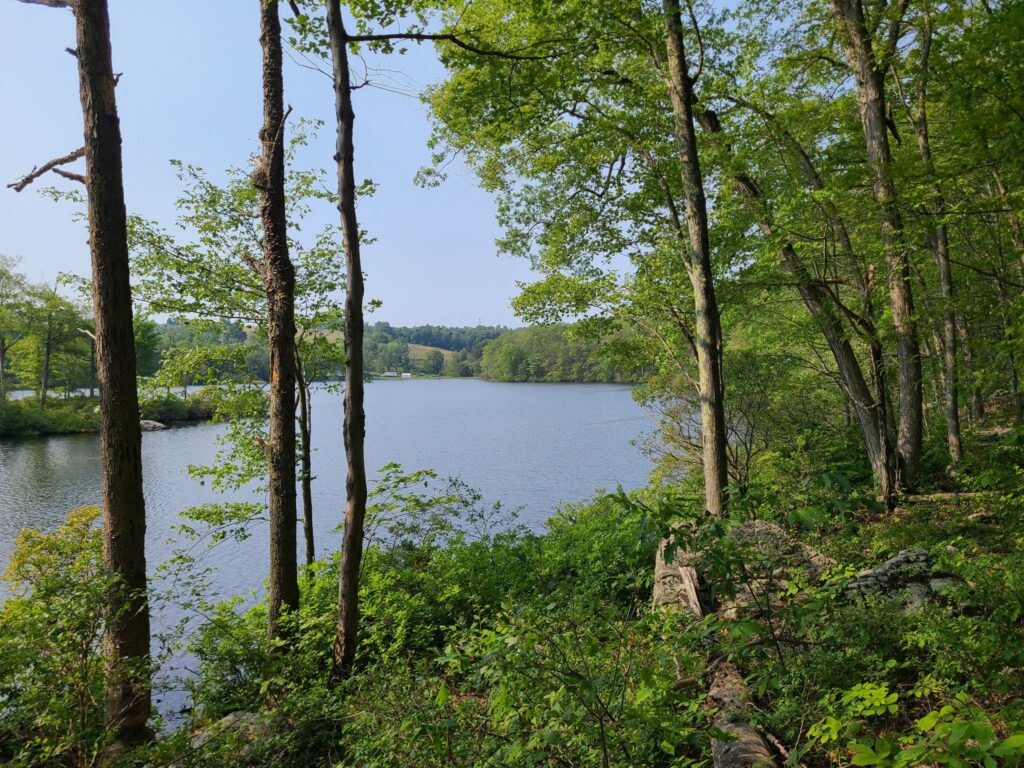
Quaker Lake (near Pawling Nature Preserve)
Quaker Lake
Quaker Lake
Rural roads near Tenmile River Preserve
Taking a breather in Tymor Park
Taking a breather in Tymor Park, which has some fun dirt trails.

Brewster to Wassaic Gravel Ride

For those who missed it, here’s a quick recap of this past Saturday’s GrNY ride.

TLDR version: I promised adventure on this GrNY ride and (unintentionally) ended up seriously over-delivering. Winter has not yet receded in Dutchess County. Overall we traversed…
– snow-free frozen dirt (good for riding)
– velcro-mud (energy sapping, but otherwise fine)
– soupy mud (rideable but messy)
– ice-covered forest trails (difficult even for walking),
– crusty frozen snow (upon which we did a substantial amount of snow biking).

My bike computer recorded 79 miles and 7000′ of climbing. That was one crazy ride, but a lot of fun. Thanks everyone who joined this not-yet-spring lunacy!

=========
MORE DETAIL: Going north of the city for a gravel ride was always going to be a risk this time of year — to the extent that I chose a 100% paved route as a backup plan. But despite the frozen crust of snow in the grass around our starting location, all of our riders decided to try the dirt route.

Things started off well in the chilly morning: Nicely frozen (and therefore solid) dirt roads for us to enjoy – all completely free of snow on the road portion. That said, the snow under the trees indicated that we would surely be hiking through the forest trail portion of our ride (at West Mountain Forest). And sure enough, even walking was a challenge on that section! It was a ~0.75 mile of “ice-hiking”.
Fortunately, we soon hit roads again on the other side.

After lunch at Cousins Bakery/Cafe/Deli/Pizzeria, we ventured further north and found our dirt roads getting softer with the warmth of the day. Totally rideable, but sometimes sticky (sapping ones energy) and occasionally pretty messy. We never hit truly awful peanut butter mud, so I’ll consider that a win on the mud front. But those closed-for-the-season dirt roads were an entirely different matter! Without car traffic, they were still covered in a crust of semi-frozen snow. I expected us to be walking, but after seeing Vasyl forge ahead on two wheels, the rest of us gave it a shot. Definitely challenging, but on the flat, we managed to roll (and skid) our way forward. We did this through several short sections of seasonal road and thought we had triumphed by the time we returned to the lower loop of our ride. But around mile 64 we hit an uphill surprise of more snow-covered roads. We weren’t going to be riding up that — we barely had traction on the flats! And it was getting late in the day, so limited daylight was a concern.

About half of our bunch took the most direct paved path back towards our start location (the shoulder of a busy Route 22). The other half (including yours truly) took a detour half-way down Route 22, then veered towards the paved Mayberry trail – and towards peaceful salvation. Or so we thought! We soon hit a stretch of unexpected icy-snow stretching into the distance on the bike trail. Wow, there was just no escaping the white stuff! Fortunately, after that longish stretch of snow-biking, the rest of the Mayberry trail was fine except for short bands of snow underneath underpasses. All riders made it back to the train or their cars and were only slightly the worse for wear. It was one crazy ride!

MAIN ROUTE (77.5 miles, ~7000’): https://ridewithgps.com/routes/36622714

Our actual ride: https://www.strava.com/activities/6779011361

Questions? post below or email: track.smart@gmail.com

Maybrook Trailway
Walking bikes on icy snow
Lifting bikes over a gate
The route

Fahnestock Park and Garrison Gravel Ride

On Saturday, Sept 25 a small group of riders left Cold Spring, NY to traverse the dirt and gravel roads around Fahnestock State Park and Garrison. Our route included virtually all of the true gravel roads in the region, which also meant tackling many of the longest and steepest climbs. Our route did not include the rough trails in the center of Fahnestock, which are more suitable to a mountain bike.

Overall, it was a beautiful ride. The weather was perfect, we spent much of the day traveling through forests, past ponds and streams, and through occasional farm country. We had lunch and replenished snacks and fluids at Boyd’s Corner Store/Deli at mile 30. After surviving all the climbs, we had a cold beer at Barber and Brew in Cold Spring. They had a few outside stools and no haircut is required to enjoy a good microbrew.

Notes about road conditions:
1) Expect some very steep grades (>20%) on some of the climbs and descents.
2) There were some very rough sections on those steep downhills (e.g. bad washboard), so keep your speed in check. One rider went down, but is okay.
3) Sunken Mine and Indian Brook roads: the gullies across the road were deeper and more numerous than I remember them in the past. Keep your eyes on the road ahead.
4) If you are looking for a still-challenging, but less intense version of this route, see here: ridewithgps.com/routes/37003811 . The alternative route has less gravel/dirt (sorry!), but adds a potential stop in pleasant Carmel Hamlet and skips some of the more ridiculous hills.

ROUTE (~64 miles with ~7000’ of climbing) :
https://ridewithgps.com/routes/37593227

ALTERNATIVE ROUTE (a bit easier, but still plenty of climbing):
https://ridewithgps.com/routes/37003811

-Steve

Brewster To Wassaic Gravel Ride

This event was on July 5, 2021: Overall, it was a challenging, but very rewarding ride to celebrate the Fourth of July weekend. The route included paved sections, gravel sections, a short section of forest trail (around mile 22), and several challenging climbs followed by memorable descents.

All riders started together in Brewster, tackled the wild Penny Lane forest trail, then continued to our lunch stop in Wingdale. We picked up an additional rider who took the same train to Brewster and was using our route as a jumping-off point for his bike trip to the Berkshires. Cousins Bakery/Pizzeria was closed for the holiday, so we had to make do with the deli/Dunkin Donuts/Mobile Station just down the road. Normally, Cousins provides some nice baked goods for bringing up the blood sugar! Around mile 28/29 our “extra” rider continued on his route, a second rider headed back towards Brewster to complete the 50 mile loop (and get home a bit earlier), while the rest of the group committed to the full 77 mile route.

RidewithGPS estimated the route at 6000’, but all of our devices registered well over 7000’ of total climbing on the day. Those climbs earned us some beautiful views and fun, roaring descents. Everybody survived the route, though some suffered a bit more than others on the climbs.

For future riders of this route: There are no stores of any kind from mile 26 to mile 69 (43 miles total), so we tried to fuel up during our pitstop in Wingdale. We used my portable water filter to top-off our water bottles around Macedonia Brook State Park, since it was a hot day. Come prepared with everything you need for that stretch of the ride!

MAIN ROUTE (77 miles, >7000’): https://ridewithgps.com/routes/36622714
SOUTHERN LOOP (50 miles, 5000’): https://ridewithgps.com/routes/32953734

[FYI: Strava removes all “events” from our feed once they have passed. I sometimes post “ride reports” so GrNY members can learn about past rides and hopefully try those routes themselves.]

-Steve