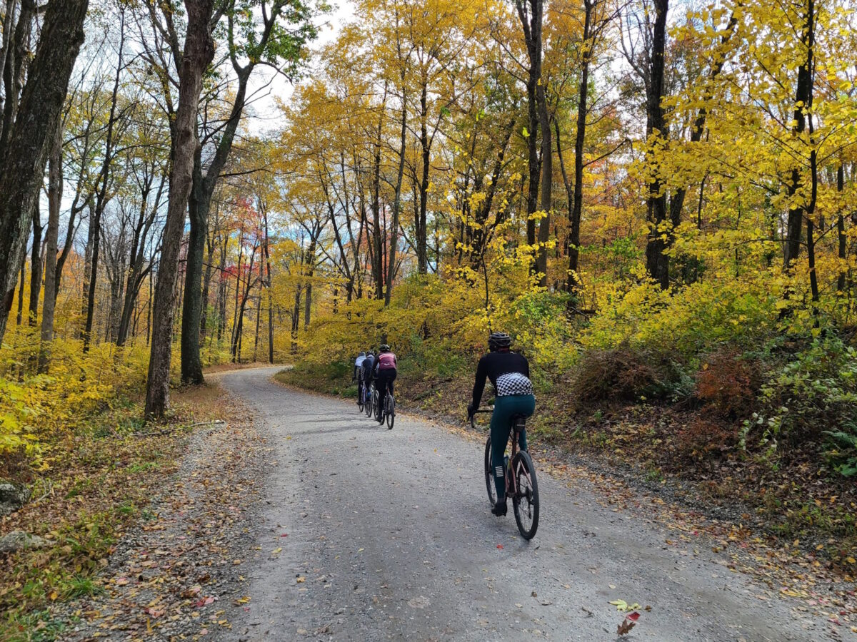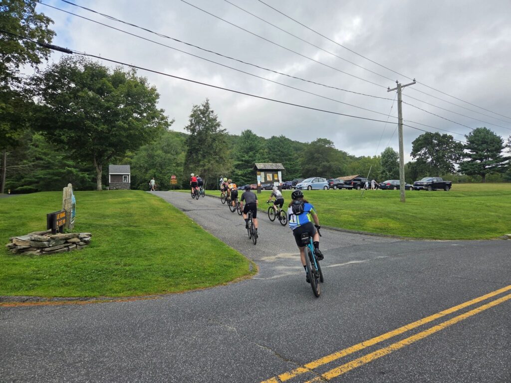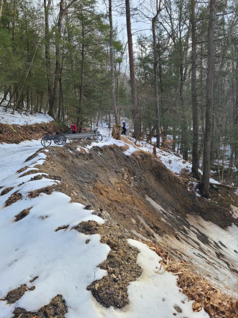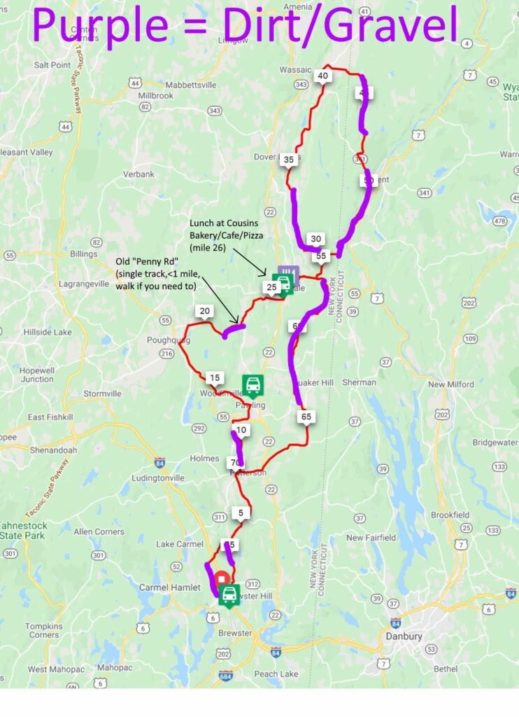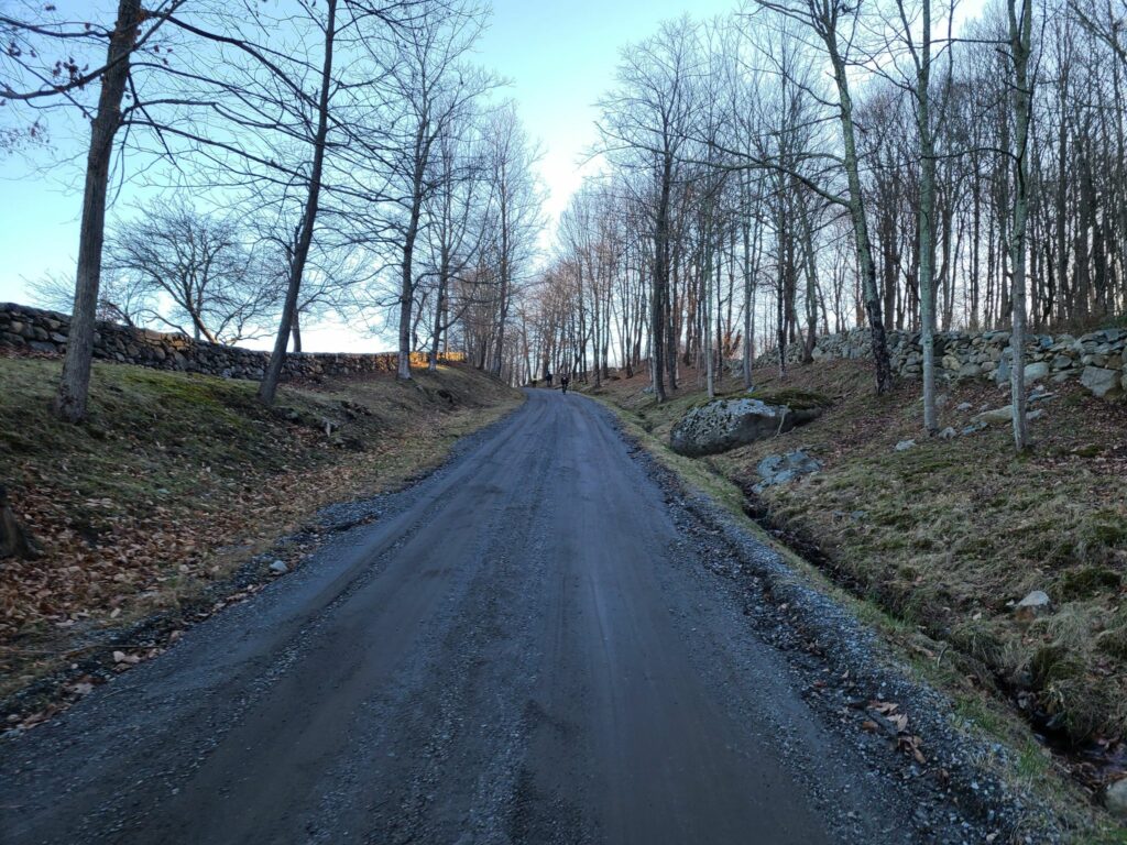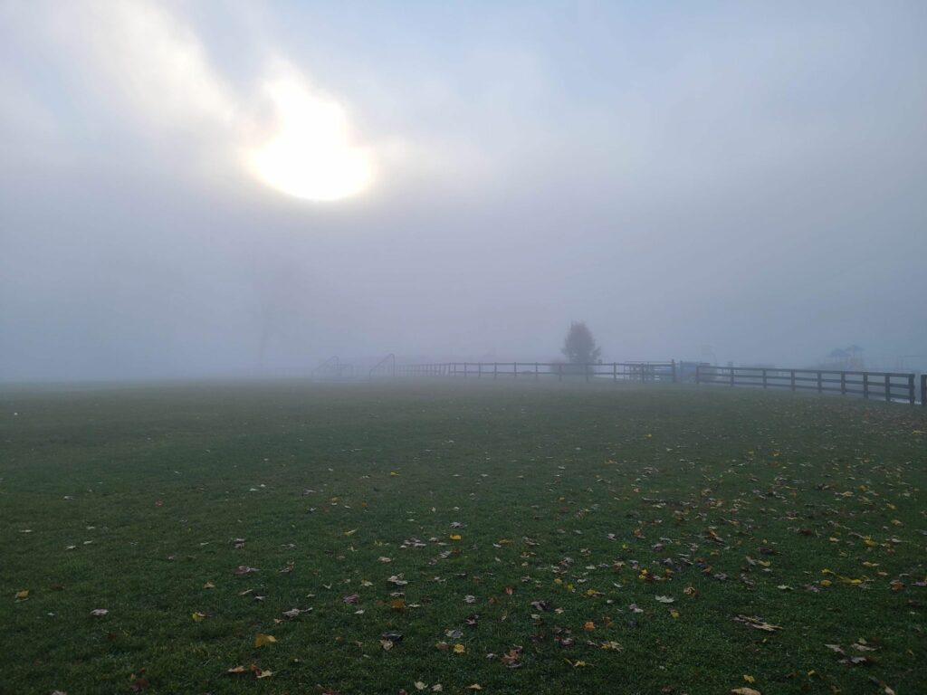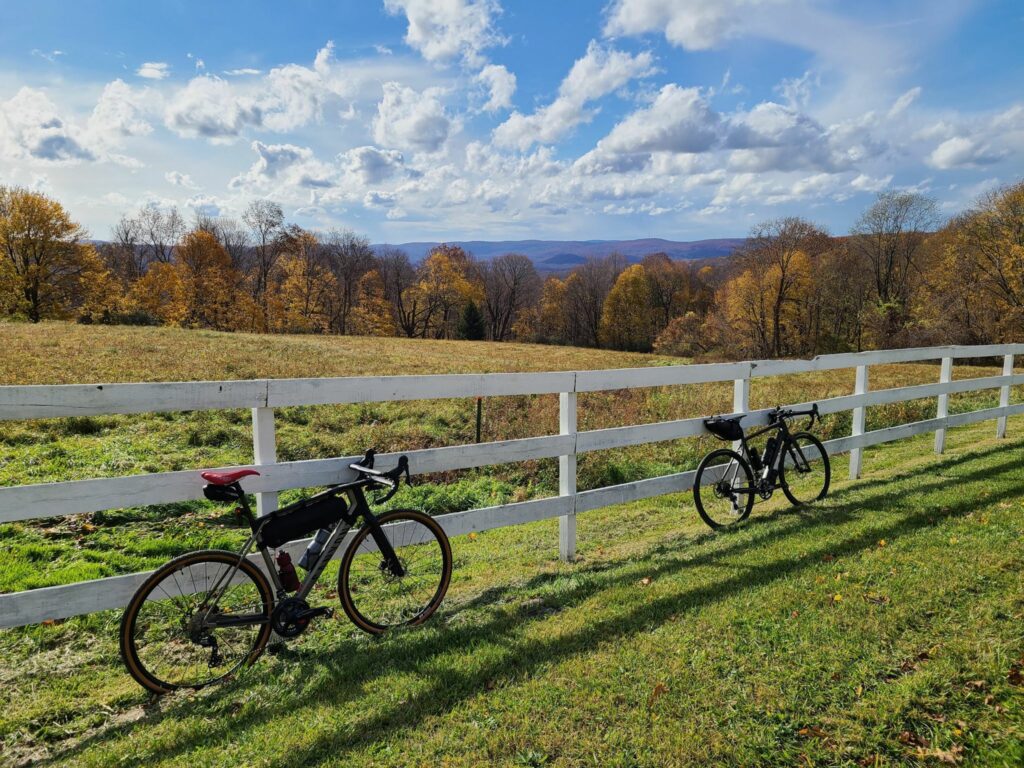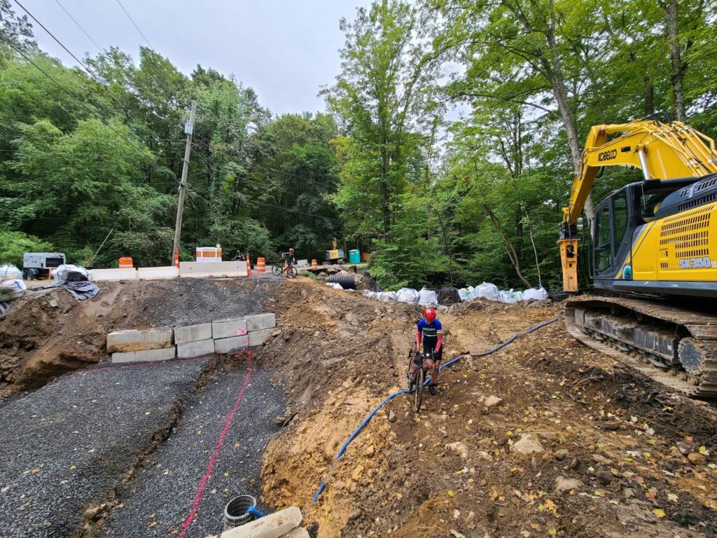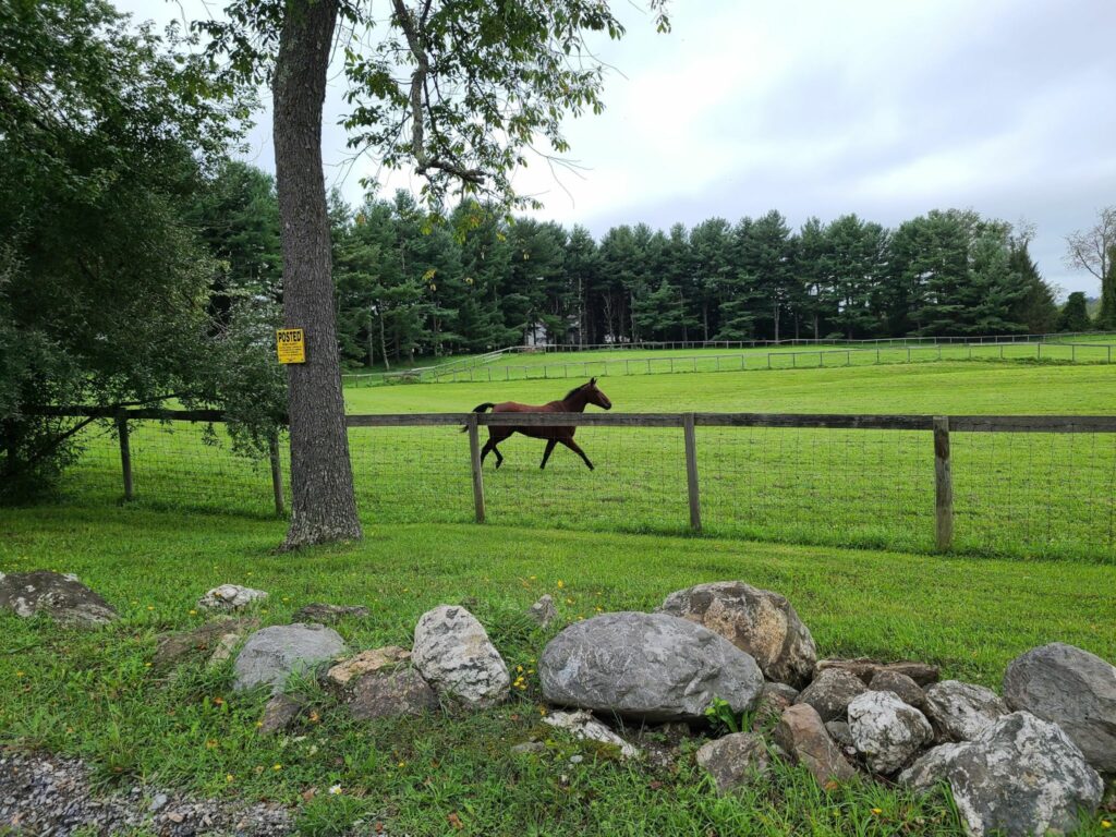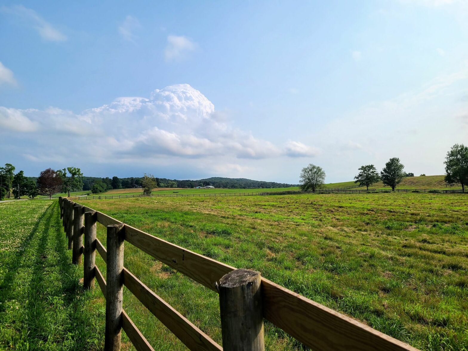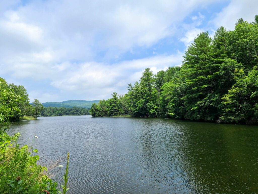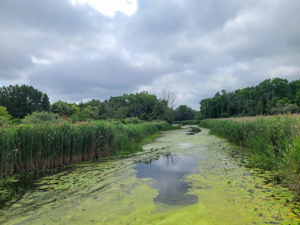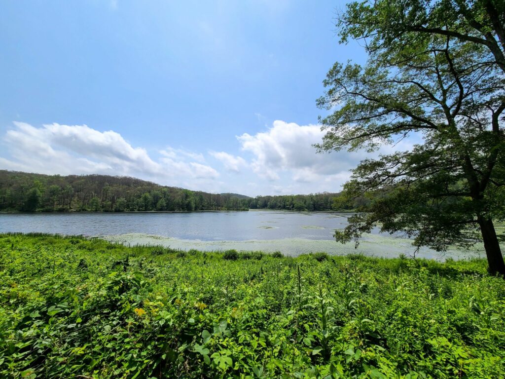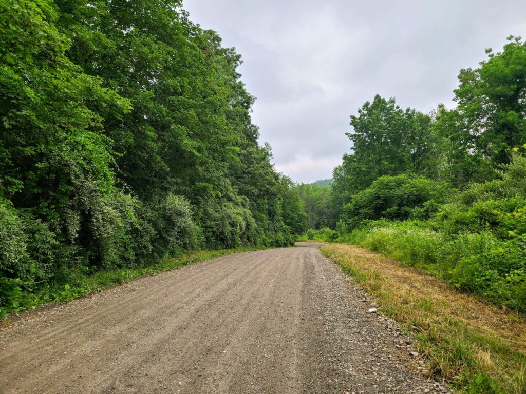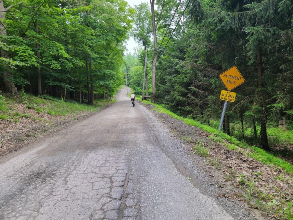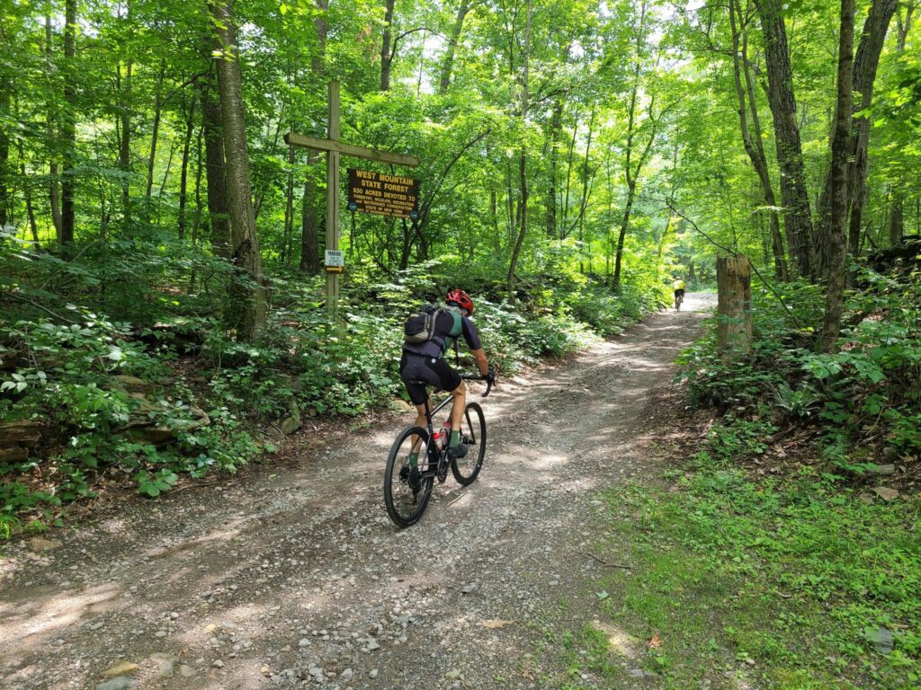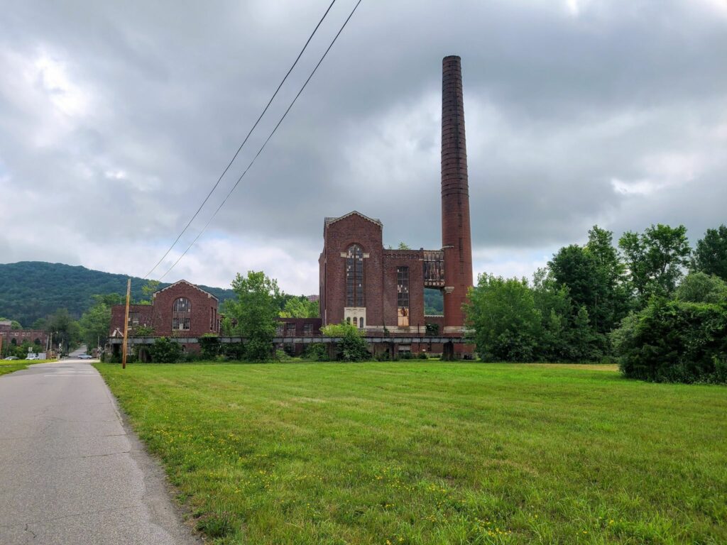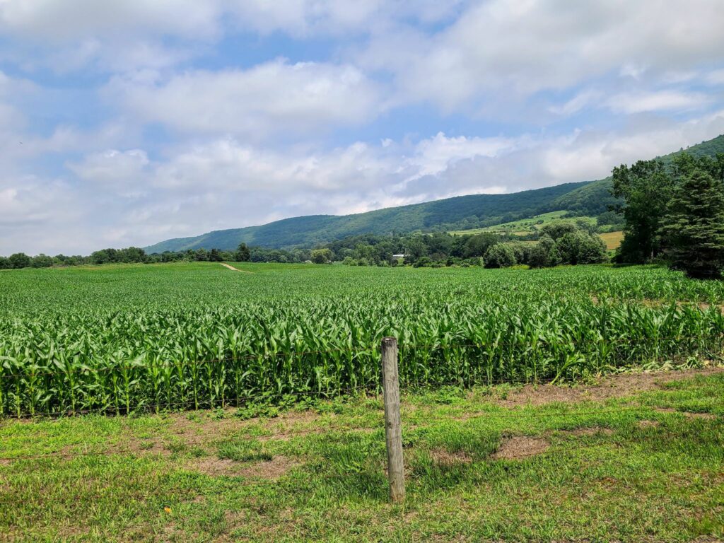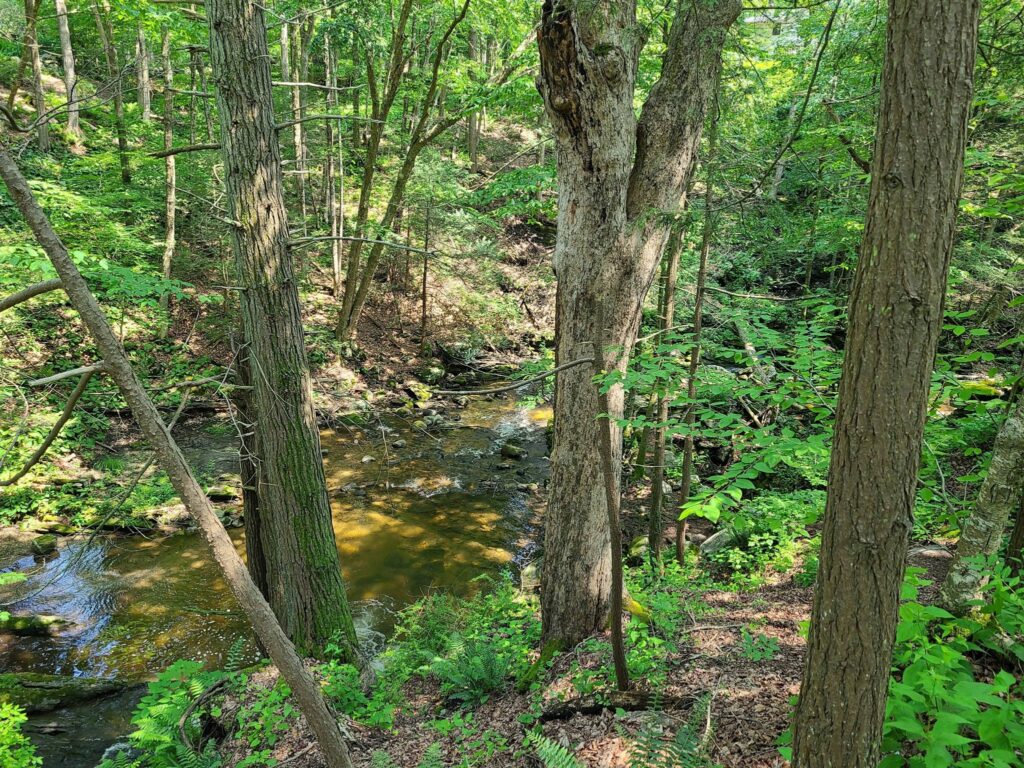
This ride is over. A big thanks to everyone who joined us and made it fun! It was an adventure from the start, given the storm-related destruction in the vicinity of Pawling. It was also a fitting end to our Spring Gravel Series, now that summer is knocking on the door! We traversed many great dirt roads through the woods, along rivers, past ponds, and over rolling hills. There were a few good climbs to keep things interesting. Many riders stayed for a fun hangout at the pub over much deserved food and cold drinks.
You can find some photos from the ride at the bottom of this post.
** We hope to see you in two weeks for our next GrNY ride. We’ll start from Dover Plains on our Dutchess Roubaix routes. It should be a beautiful day of riding! **
ORIGINAL POST: GrNY’s final Spring Gravel Series ride starts on SATURDAY in Pawling, NY. We skipped this ride earlier due weather, but it’s too good to miss! We will spend much of the ride in Litchfield County, CT. This part of the NY/CT border has some of the nicest gravel riding in our region.
You can find details on the group’s Strava page and can RSVP via Strava:
https://www.strava.com/clubs/513005/group_events/3498519342074914412
===
Disclaimer: GrNY rides are completely informal. You ride at your own risk and are responsible for your own safety. You are expected to be self-sufficient. We cannot guarantee the condition or safety of roads and trails. Nor can we control the behavior of other riders. Our rides are not supported events. We expect everyone to be an experienced cyclist who can repair a flat, carry appropriate food and hydration, and navigate independently if they lose the group. We expect everyone to follow the group’s guidelines, which are listed at https://grny.org/guidelines.
===
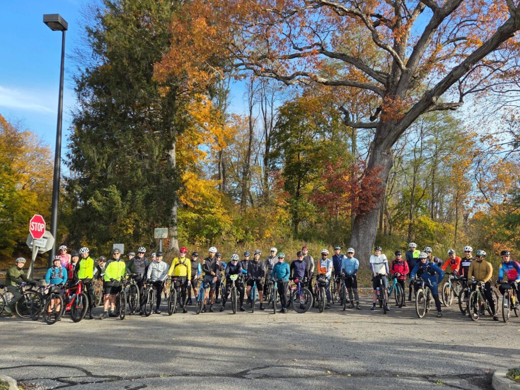
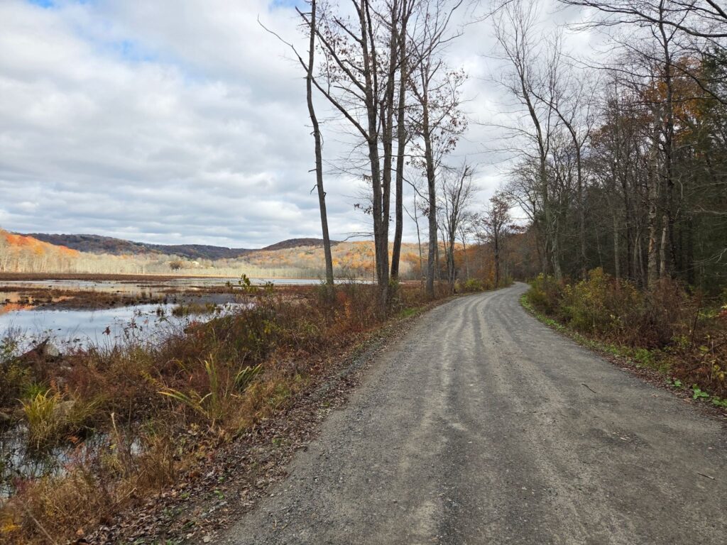
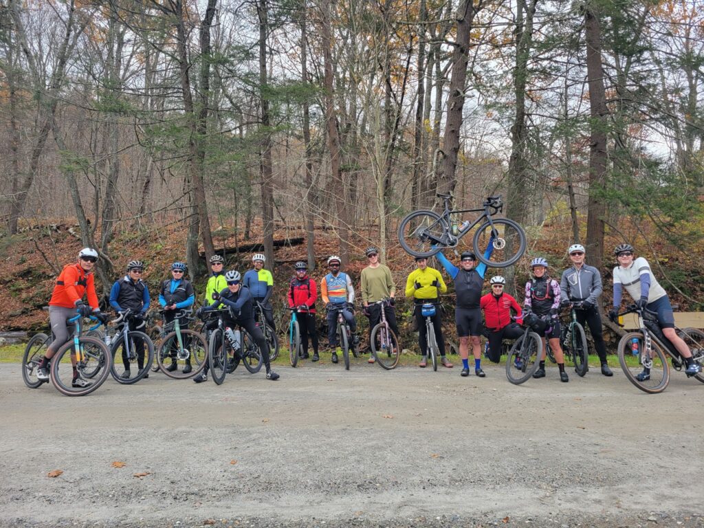
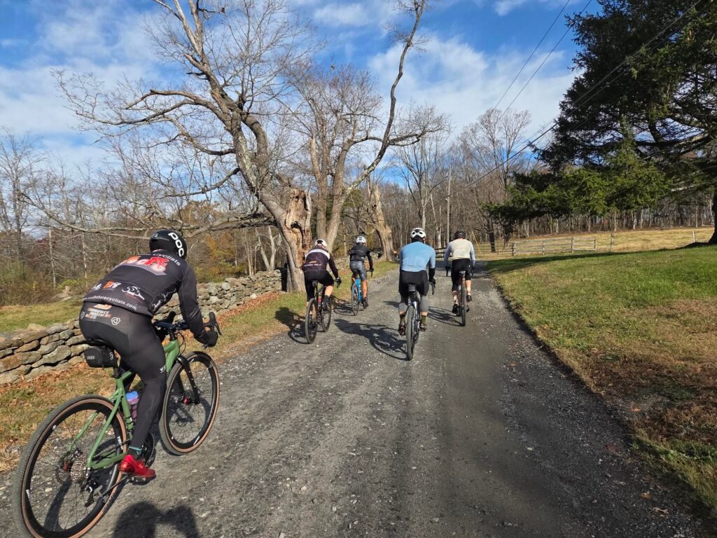
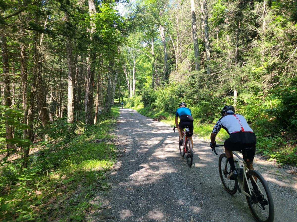
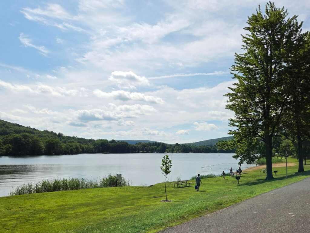
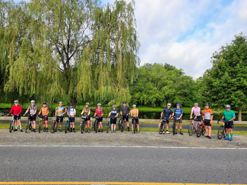
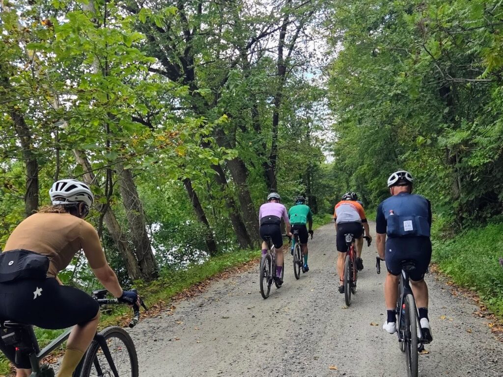
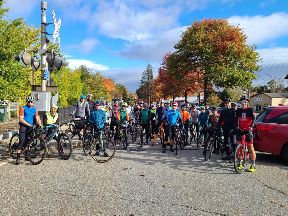
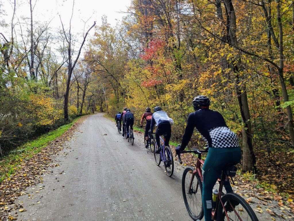
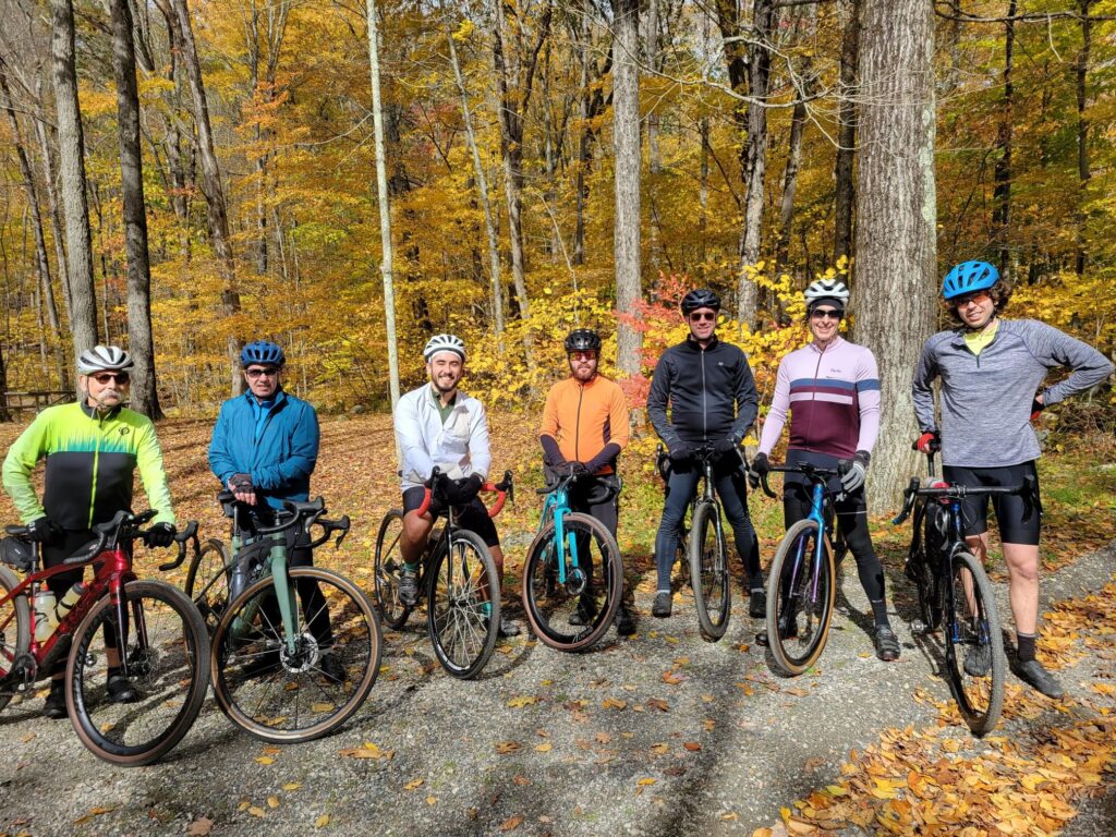
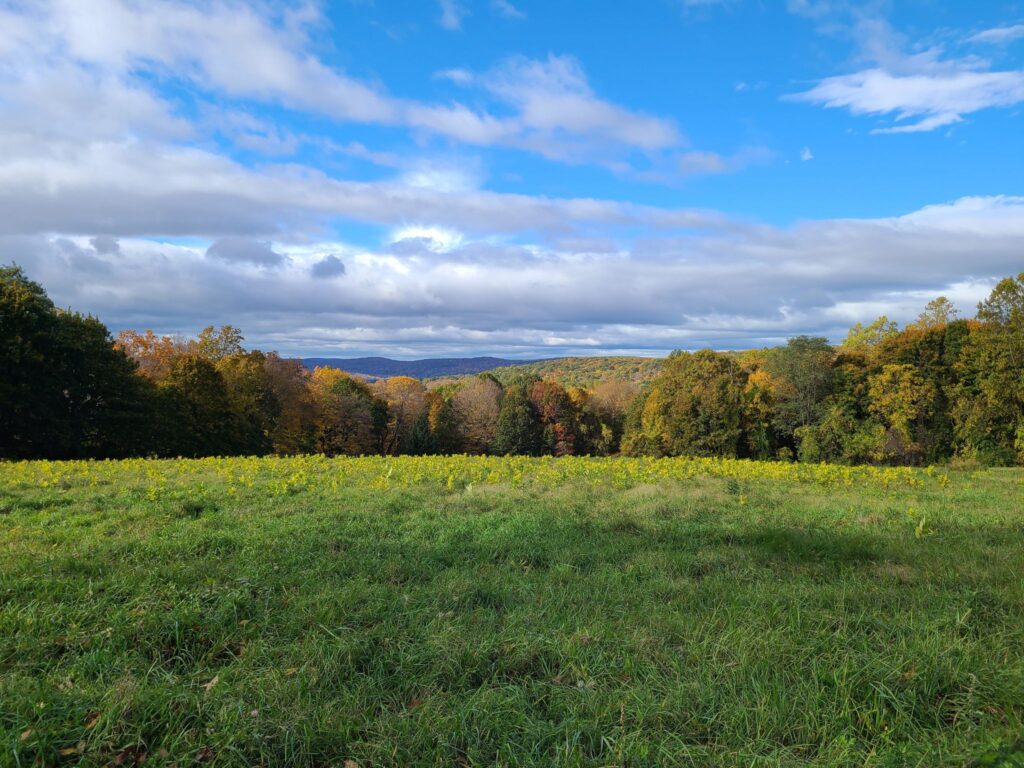
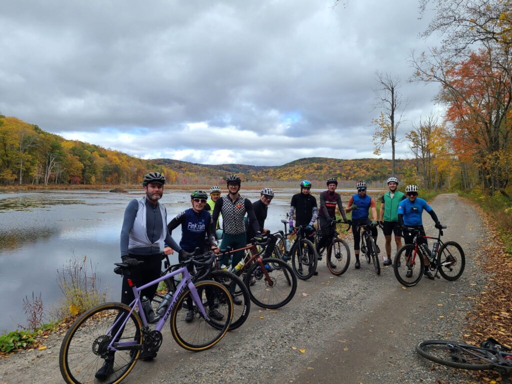
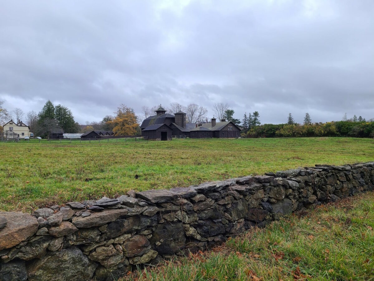
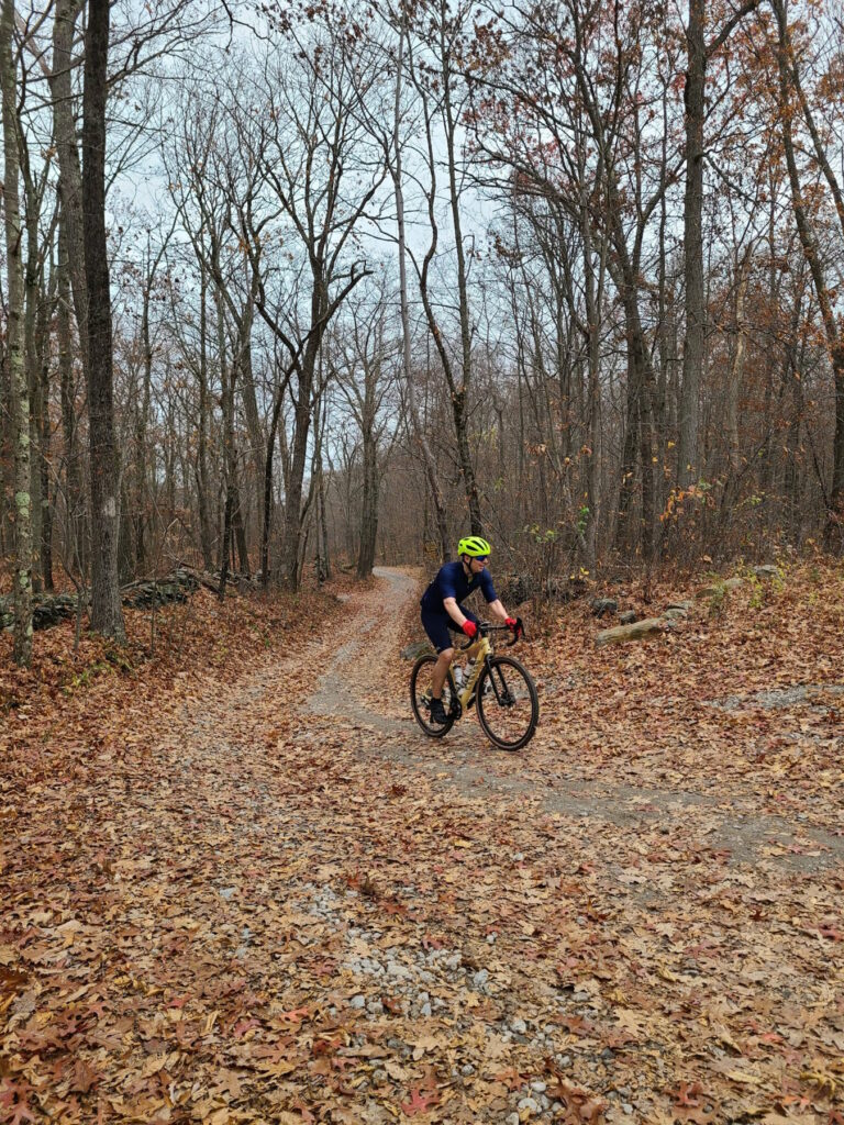
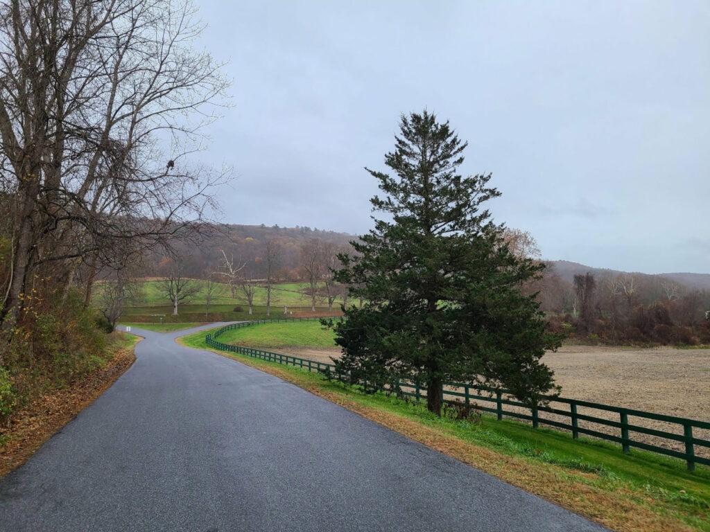
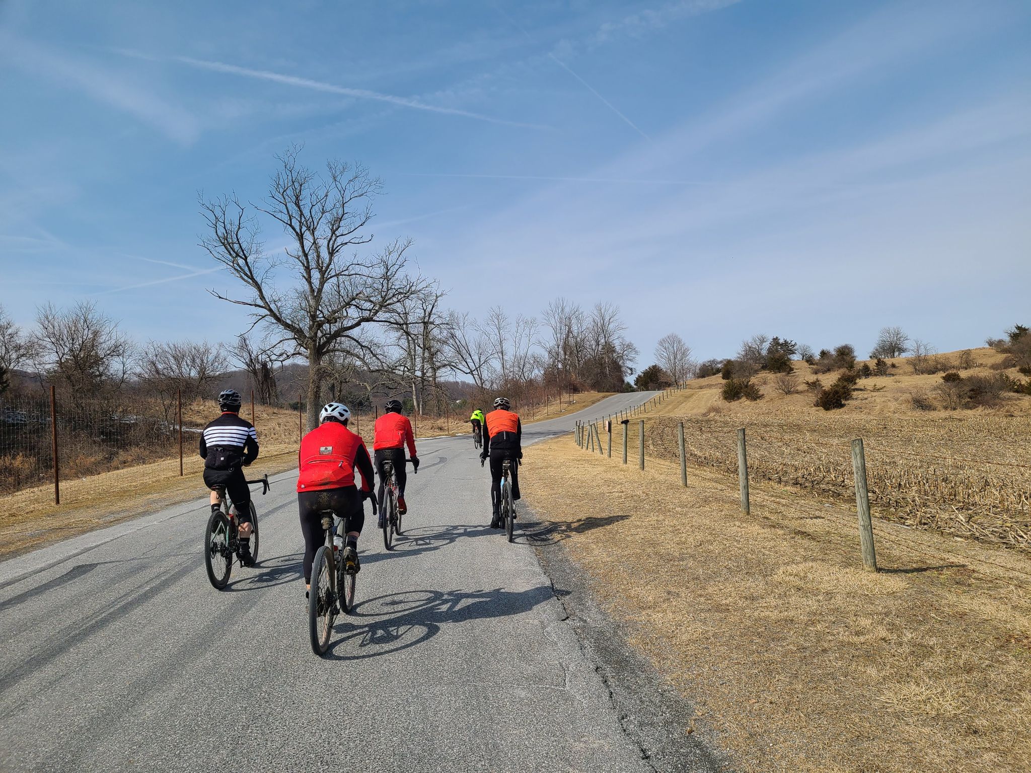
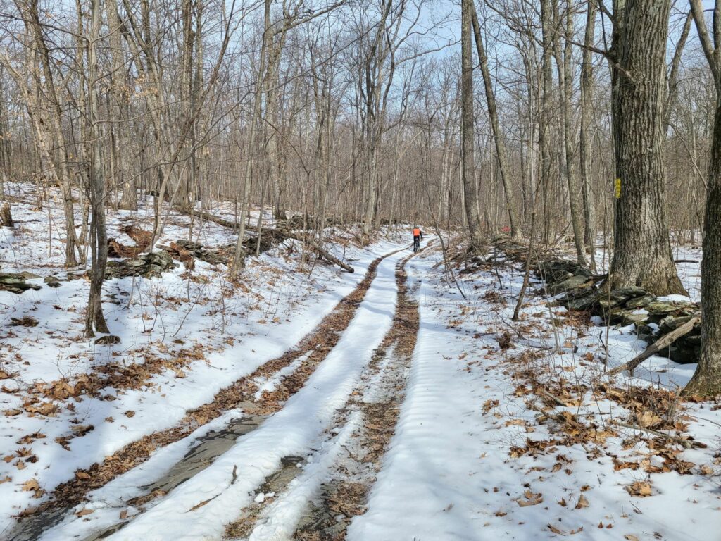
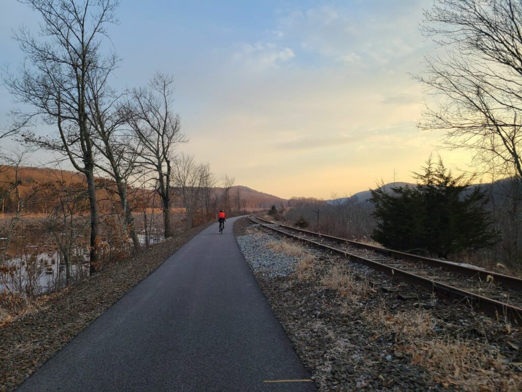
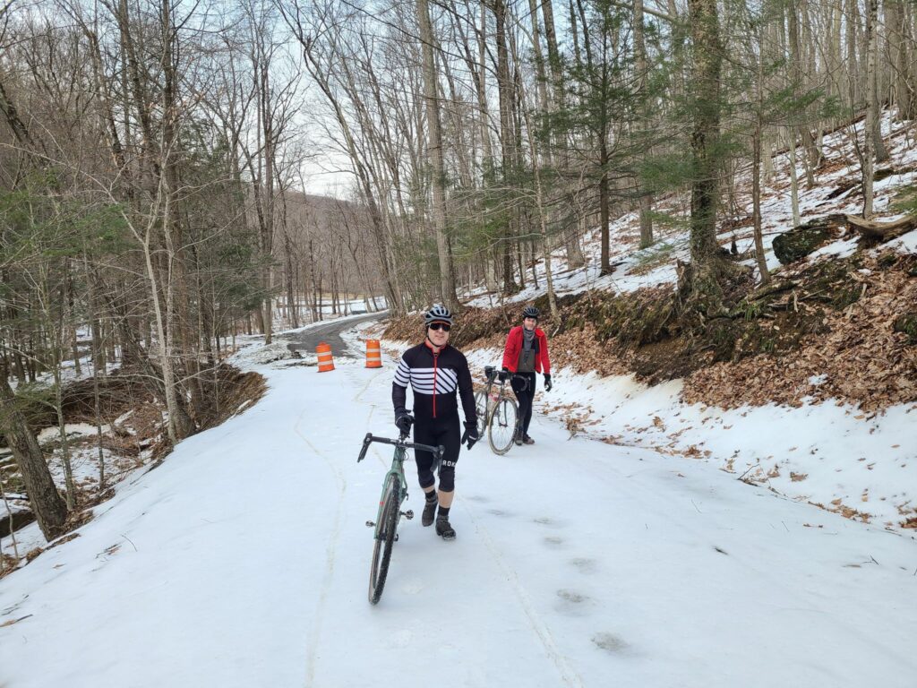
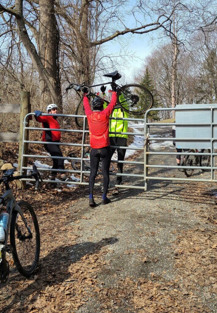
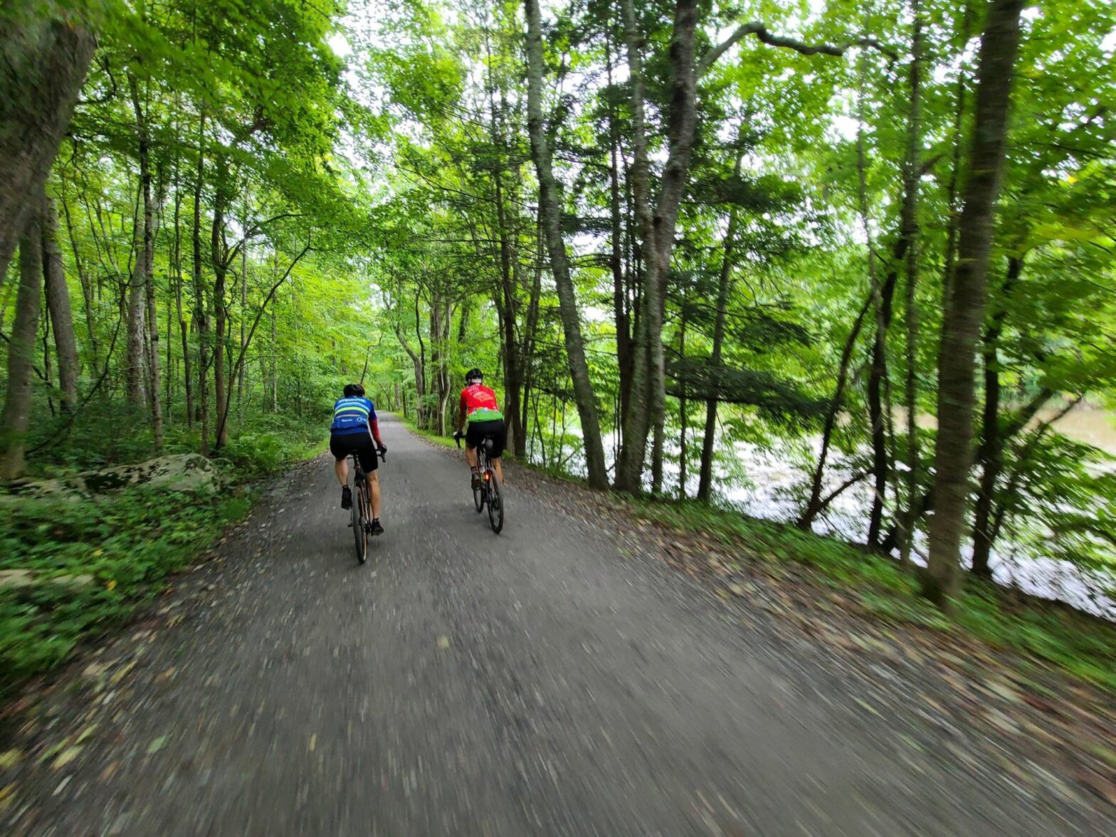
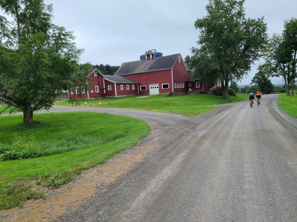
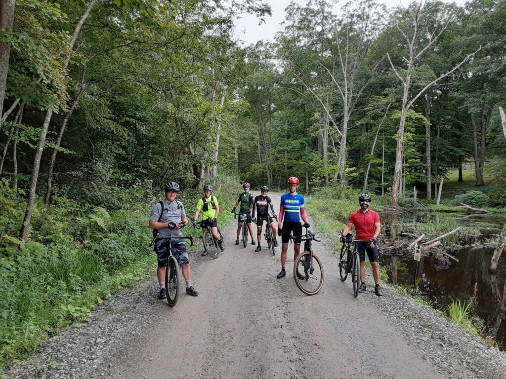
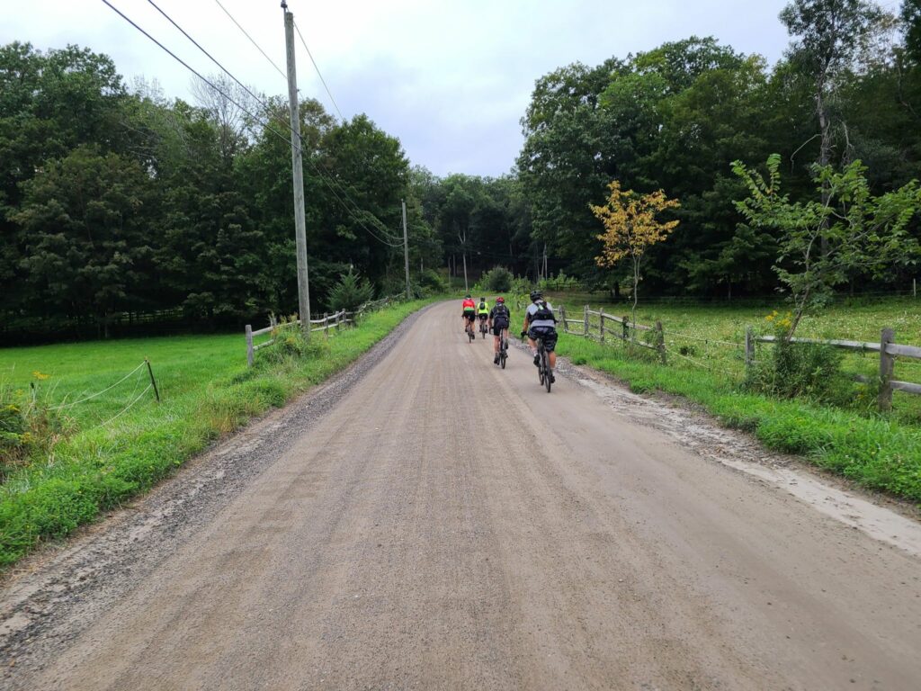
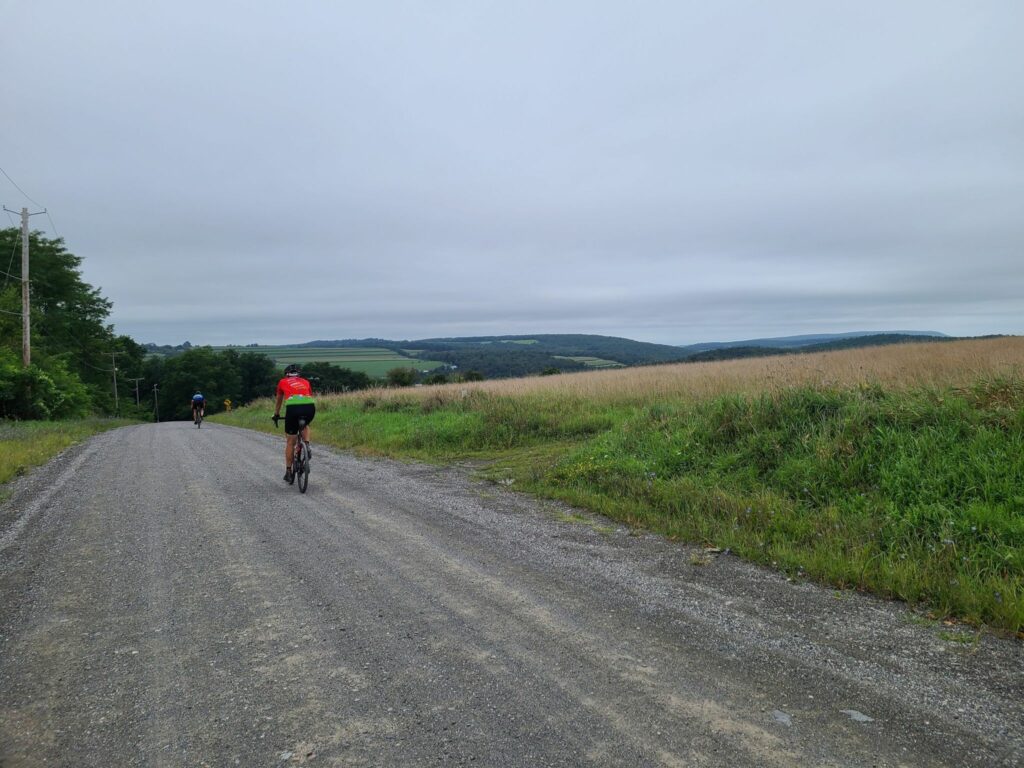
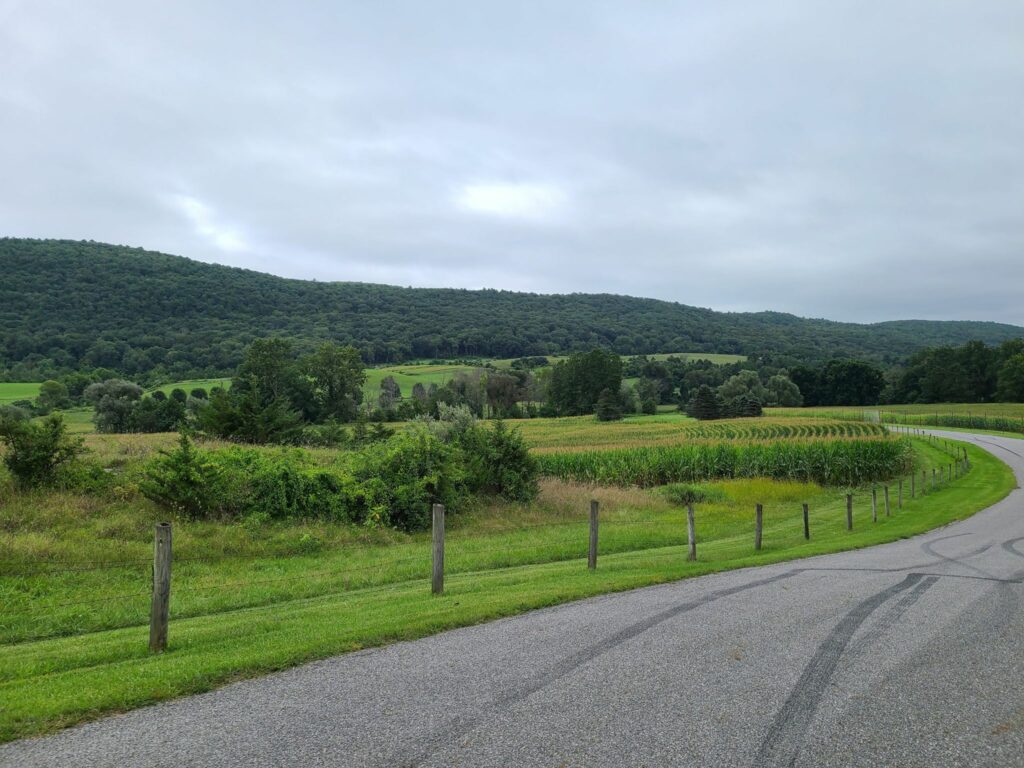
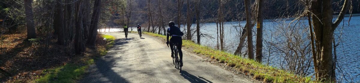
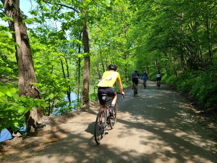
PHOTOS FROM THE RIDE (below)
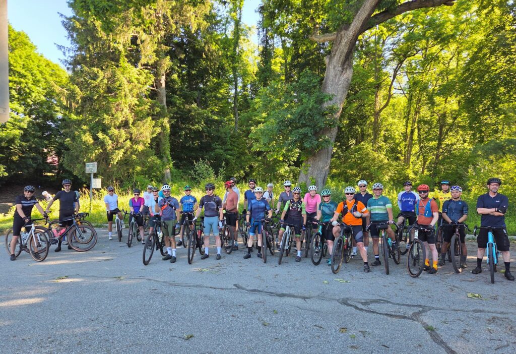
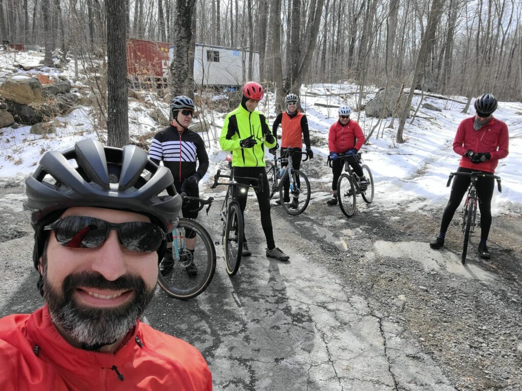
Group photo
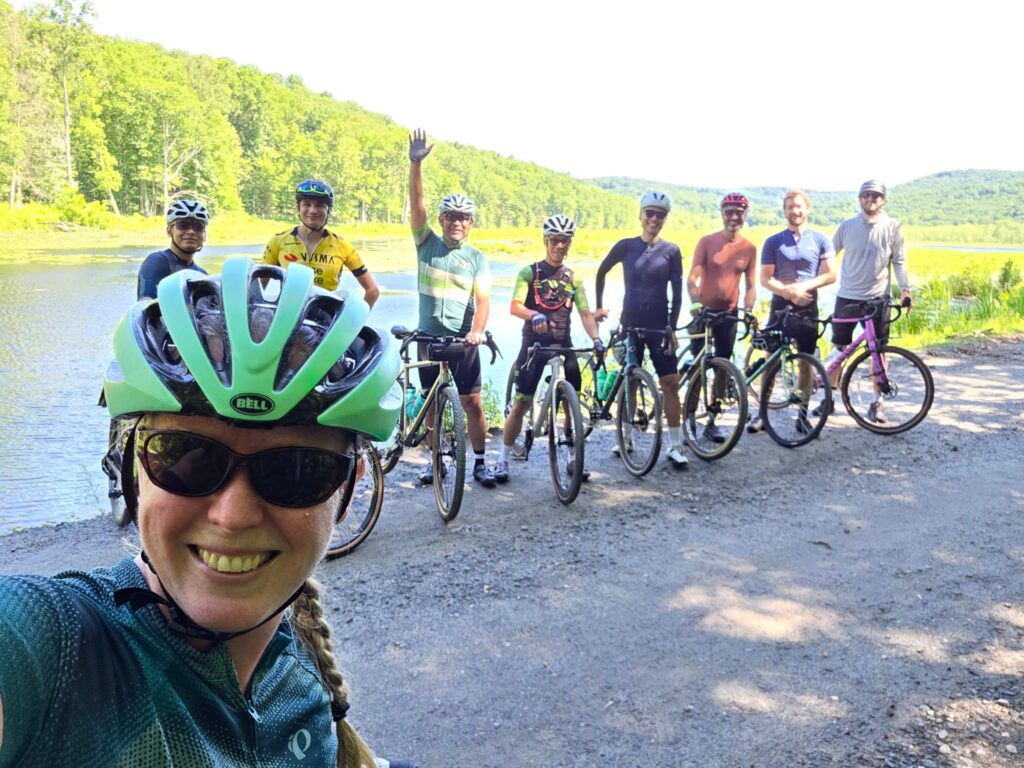
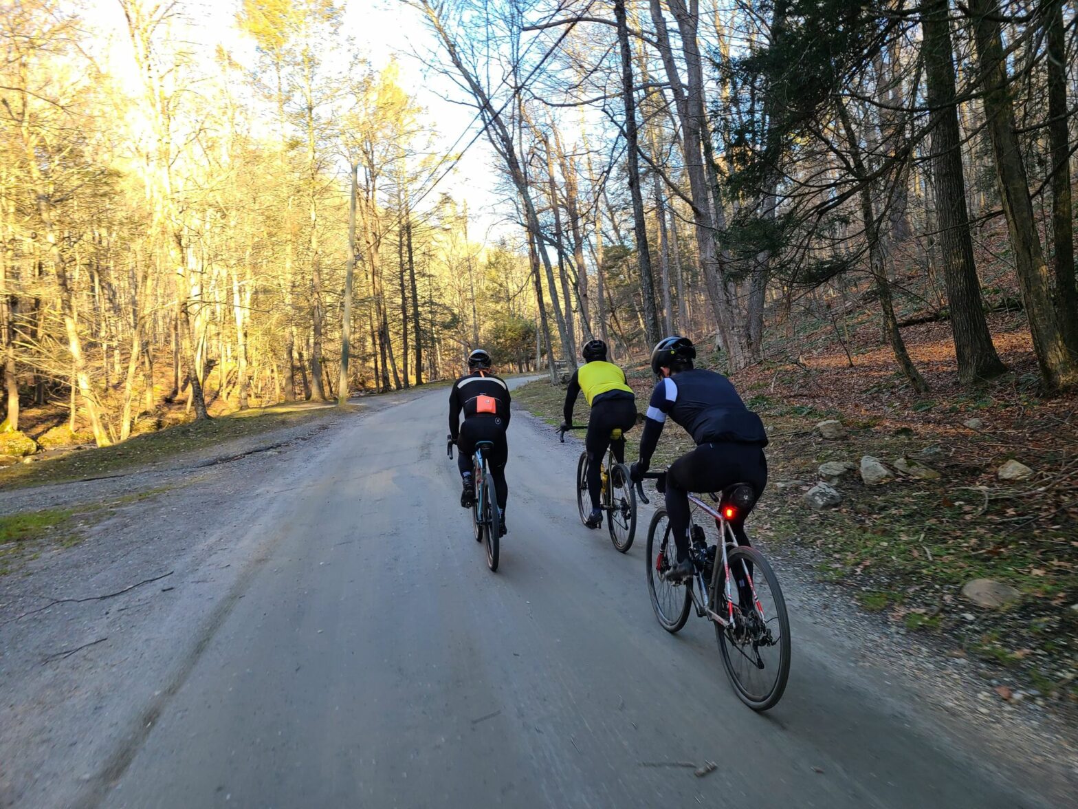
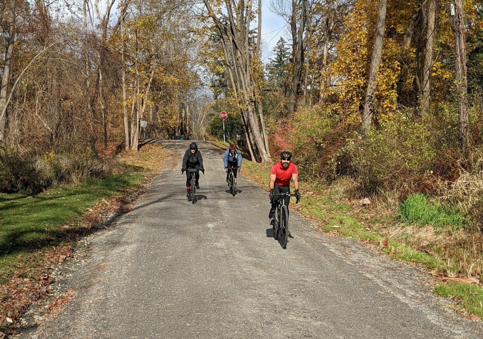
Medium riders by Mud Pond.

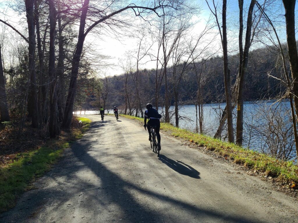
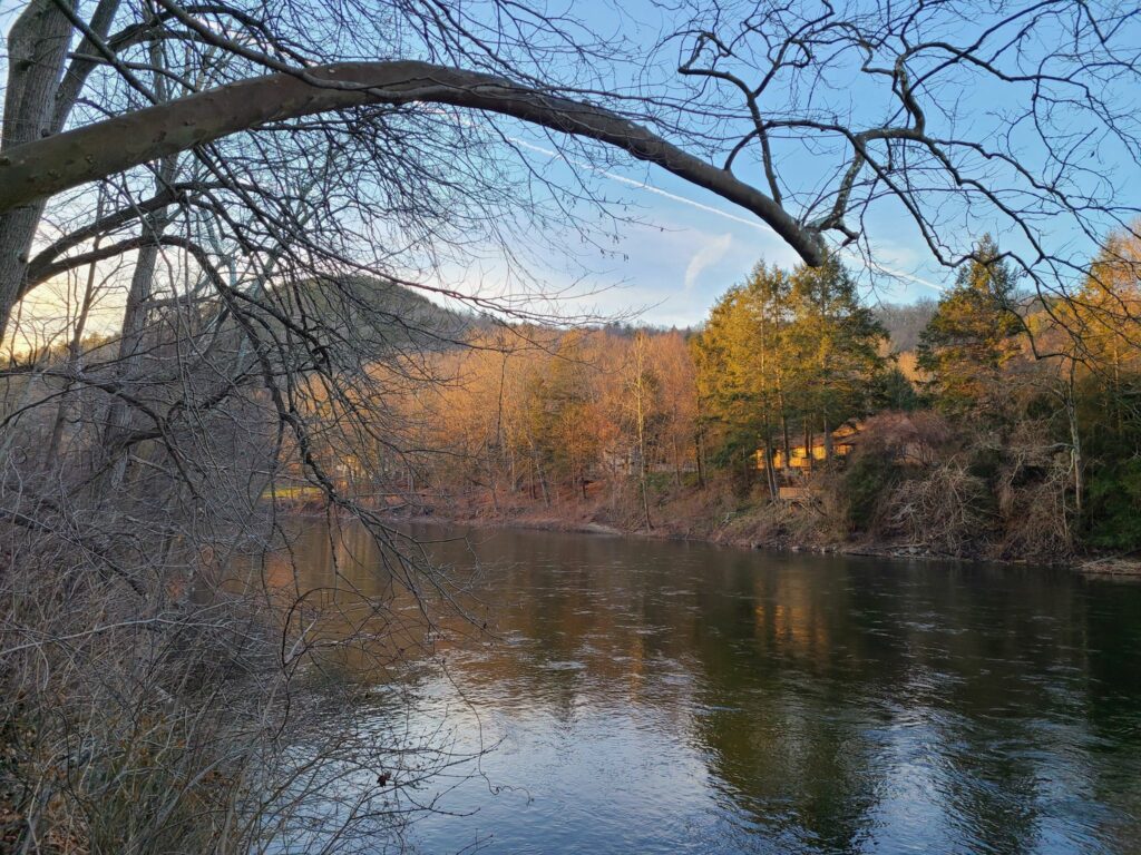
Long Distance (faster) group speeding along the Housatonic River.