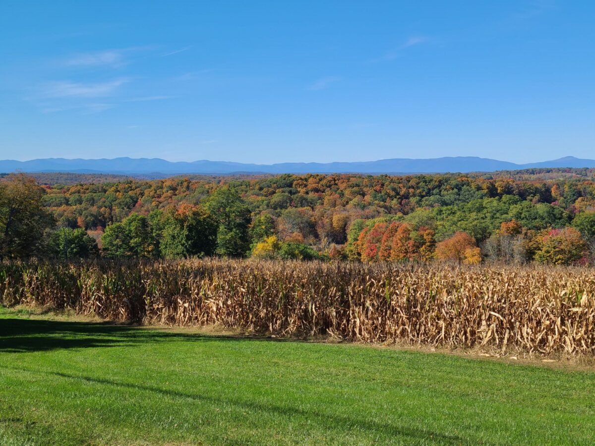
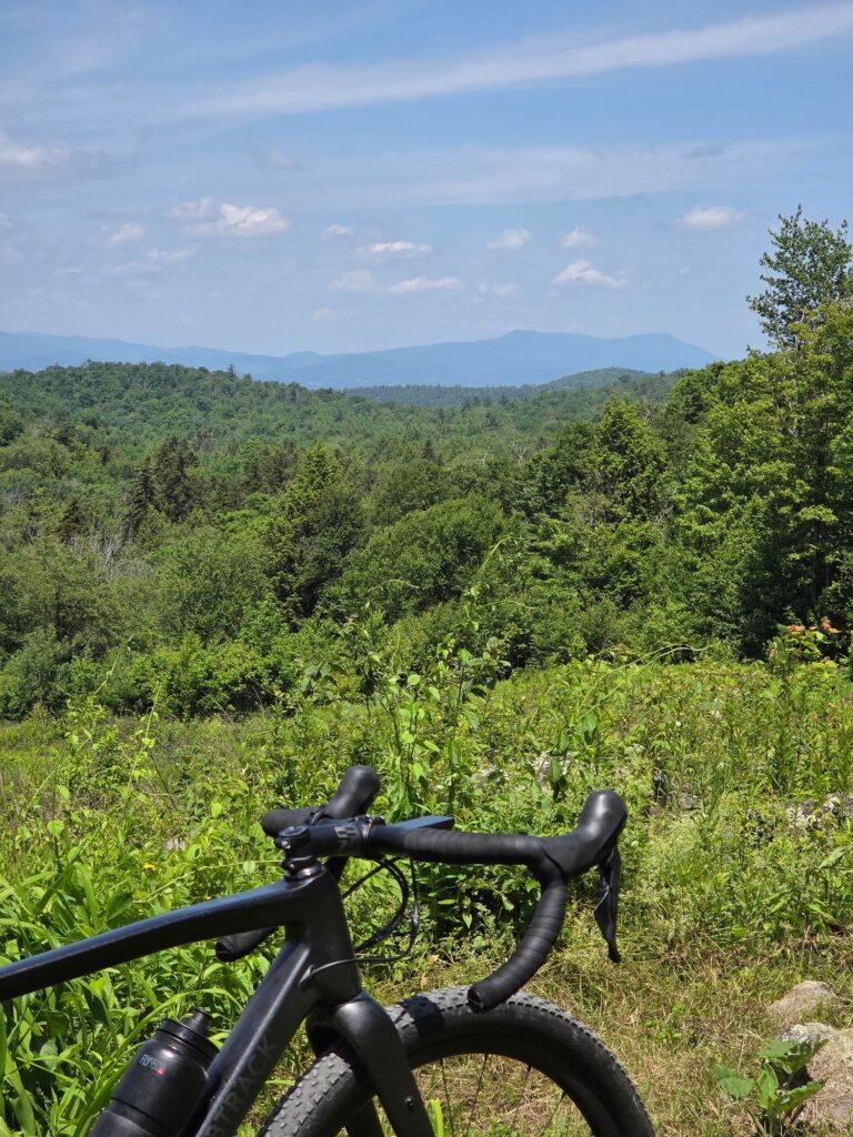
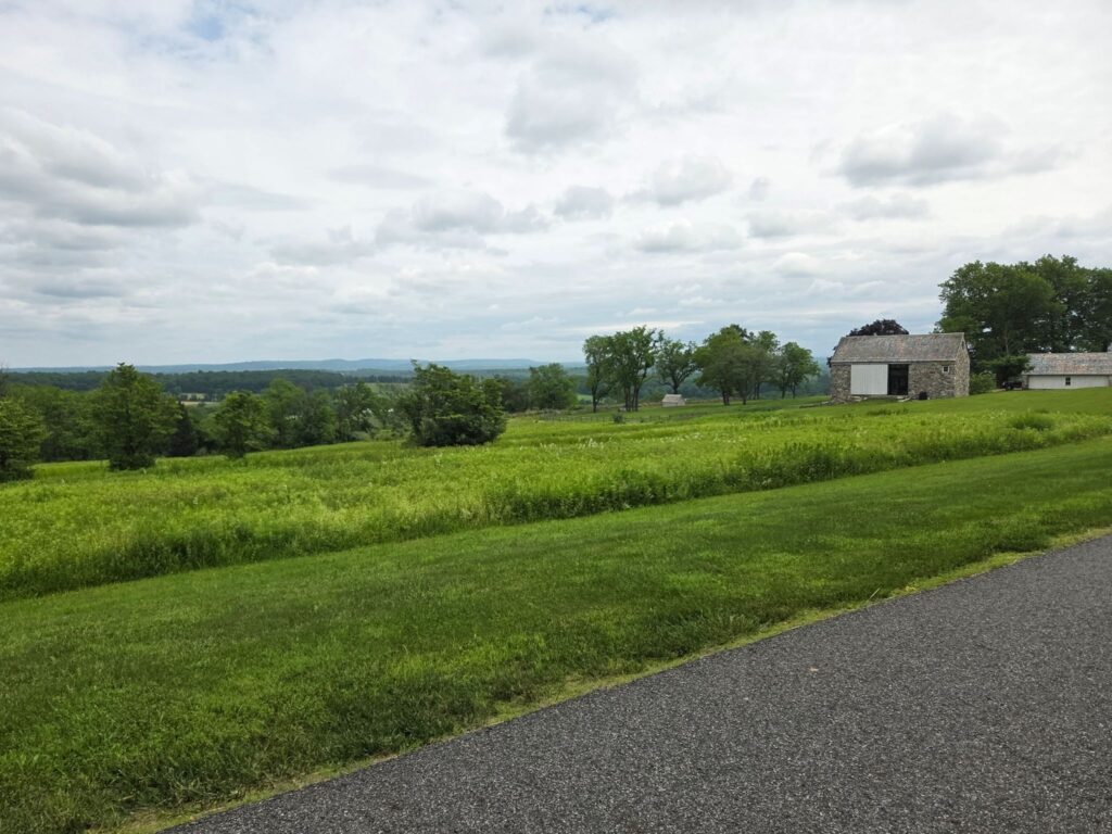
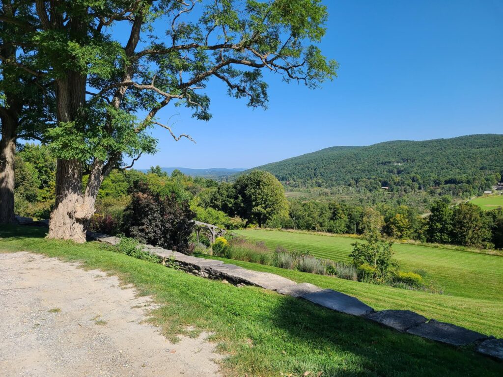
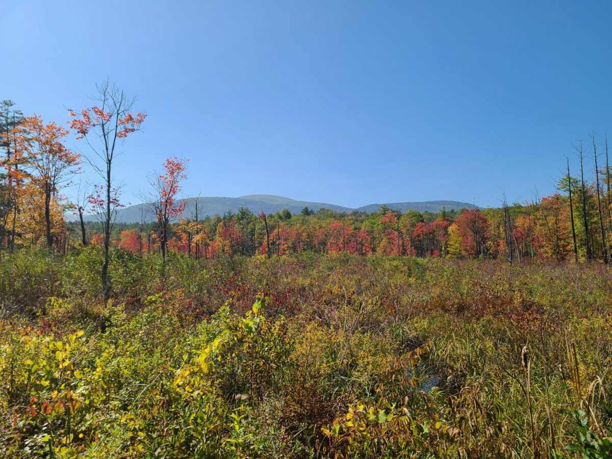
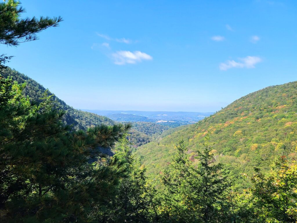
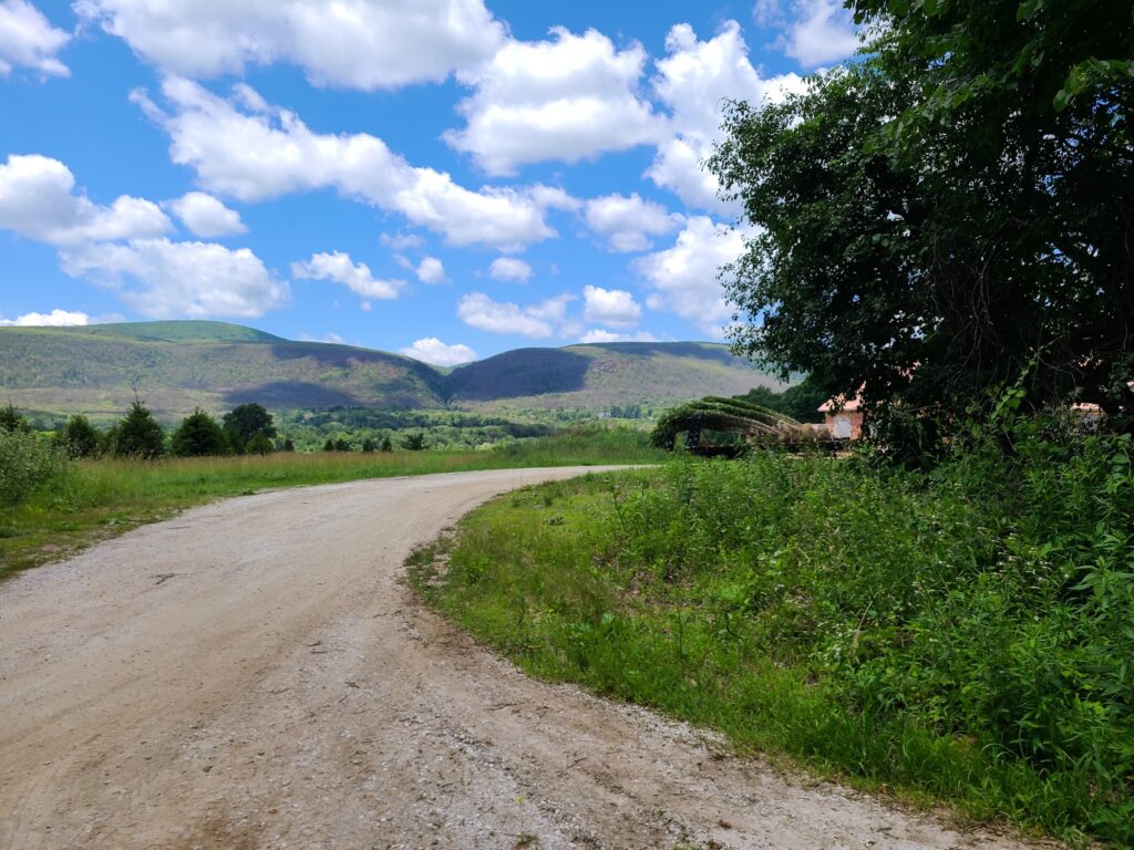
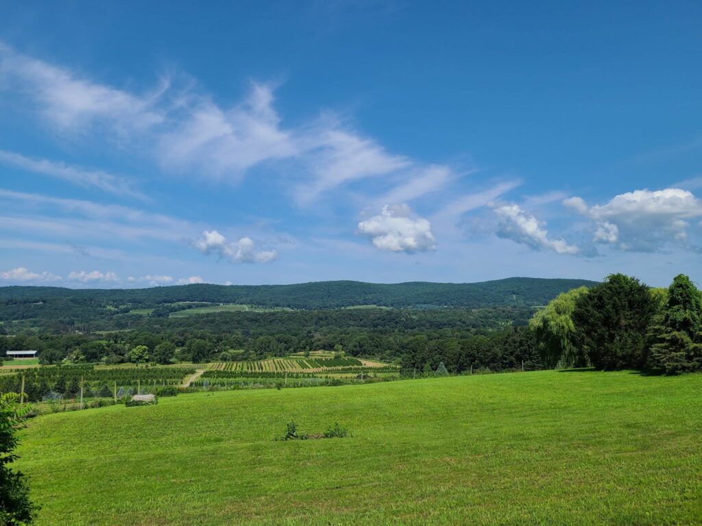
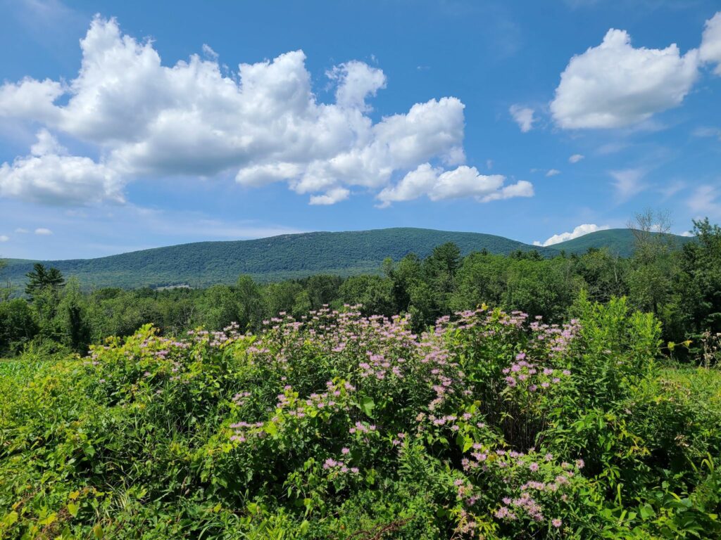
Our next “three speeds” ride will be on July 12. Join us for a spectacular ride on the dirt-roads of Dutchess County. After cresting Tower Hill Rd, be sure to stop around the corner for some views of the Catskills in the distance (i.e., the cover photo for this post). It’s a nice payoff for your efforts! We’ll end at Kelly’s Creamery & Food Truck, so everyone can celebrate together at the end of the ride!
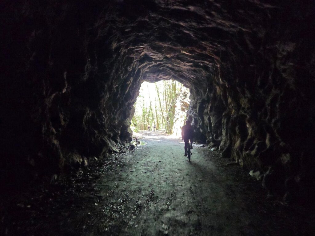
Our thanks to everyone who joined our last two rides (October Mountain and The Tunnel)! You can find photos and a quick recap of those rides on Steve’s Strava posts, here:
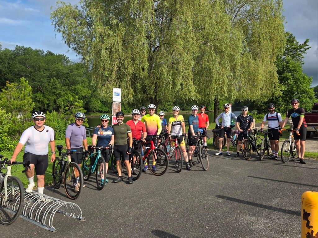
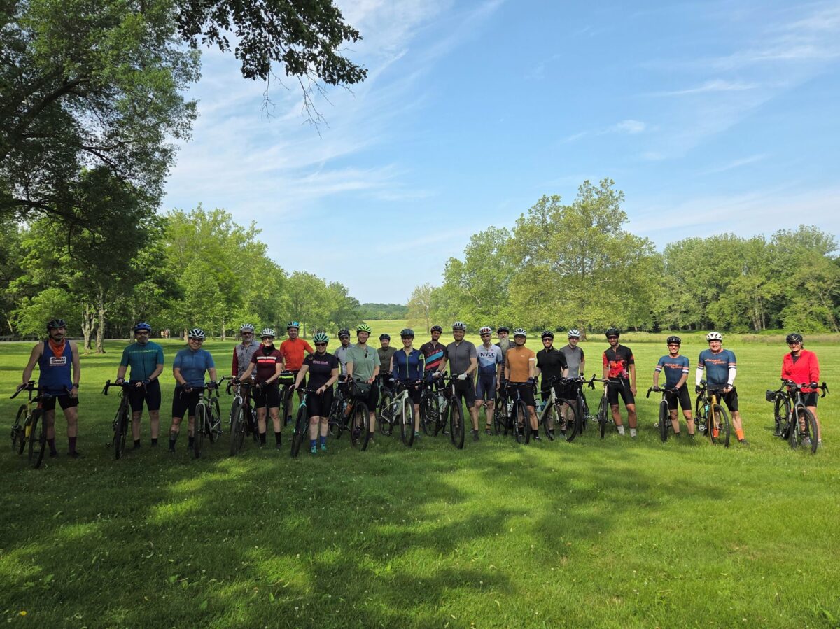
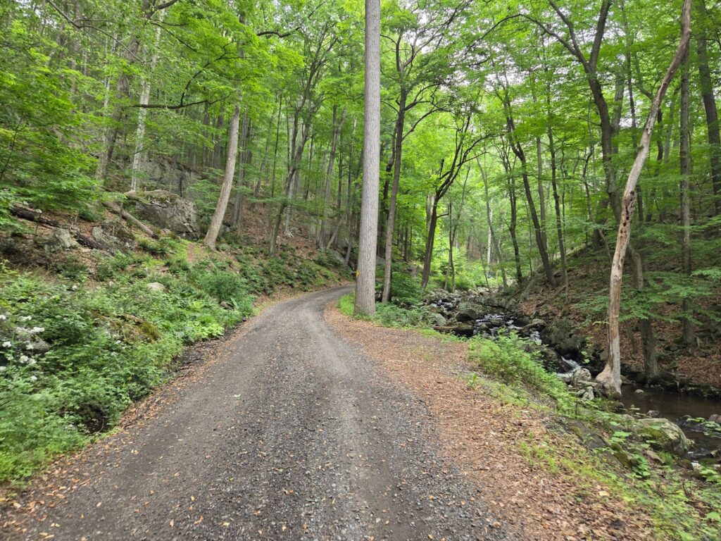
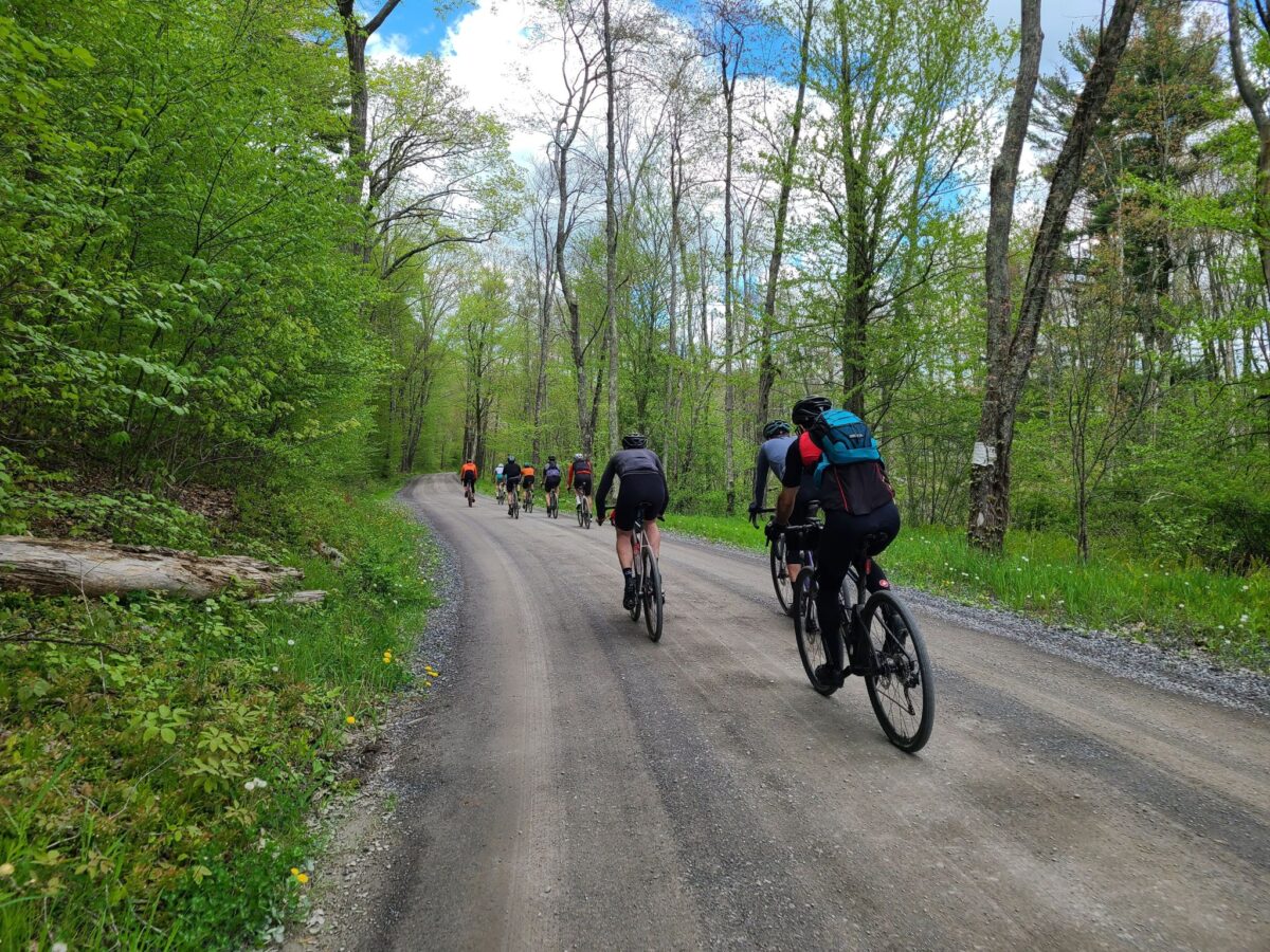
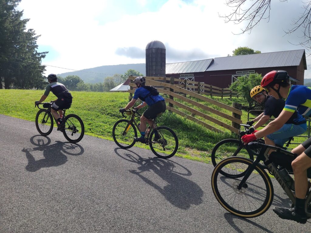
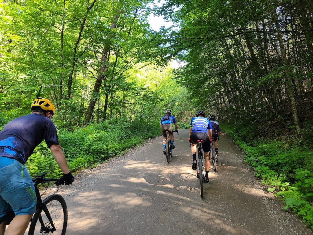
Our recent NJ gravel ride was a ton of fun! Thanks everyone for joining us. A few photos are included in this post. You can also check out Steve’s Strava activity for a very quick recap and some additional photos.
TLDR version… 1) Please take two seconds to fill out the online waiver form on the GrNY website. You only need to do this once. 2) Please RSVP to the ride via the Strava event links. 3) If you’d like to support the club with a few bucks, you’ll find info on how to do that in the link above, but there’s no cost to join the ride or the club itself. After reading our guidelines, and signing the waiver… Just show up and ride!
Questions? You can email Steve at track.smart@gmail.com, but please read all of the information in the above links first.
Disclaimer: GrNY rides are completely informal. You ride at your own risk and are responsible for your own safety. You are expected to be self-sufficient. We cannot guarantee the condition or safety of roads and trails. Nor can we control the behavior of other riders. Our rides are not supported events. We expect everyone to be an experienced cyclist who can repair a flat, carry appropriate food and hydration, and navigate independently if they lose the group.
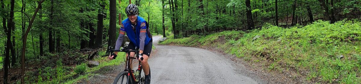
The spectacular Teetertown Ravine climb from our recent New Jersey gravel ride.
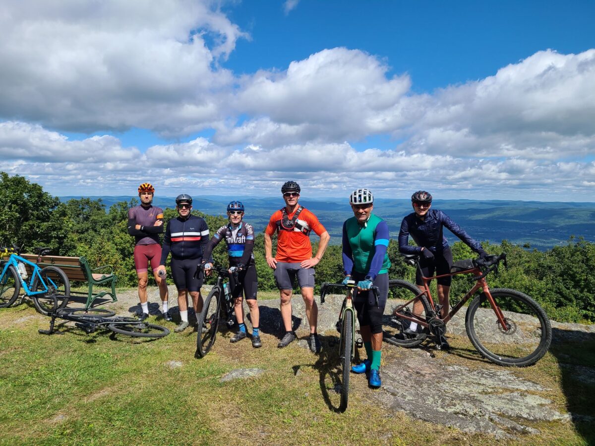
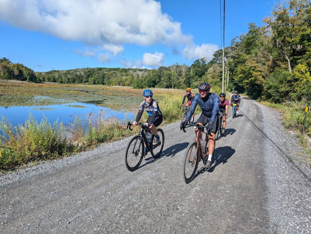
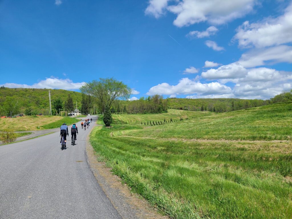
Spectacular day of riding with some GrNY regulars. We had perfect weather and a beautiful course! This ride included the core of the Berkshires-Riga-Sunset Rock route, but we started in Wingdale, NY, which is closer to NYC. The route includes an optional spur (mile 50, in blue) to the top of Mt Everett. Everyone was feeling good and did the extra climb, though not everyone maintained traction for the steepest section near the end (i.e., a few riders needed to walk a short distance). The road up to Mt Everett is steep, particularly the last 0.5 mile dirt section near the top, but there are good views as payoff.
We were originally targeting Sunday for this ride, but Saturday’s upcoming rain was going to make that a bad idea. Instead, a couple of us took Thursday off and we queued up a different Berkshires century ride for Sunday!
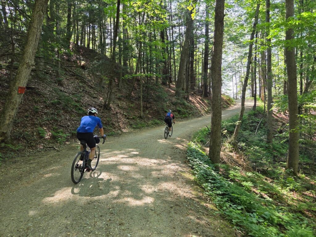
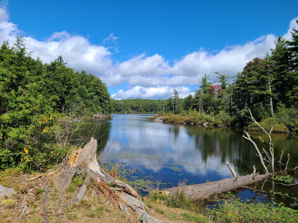
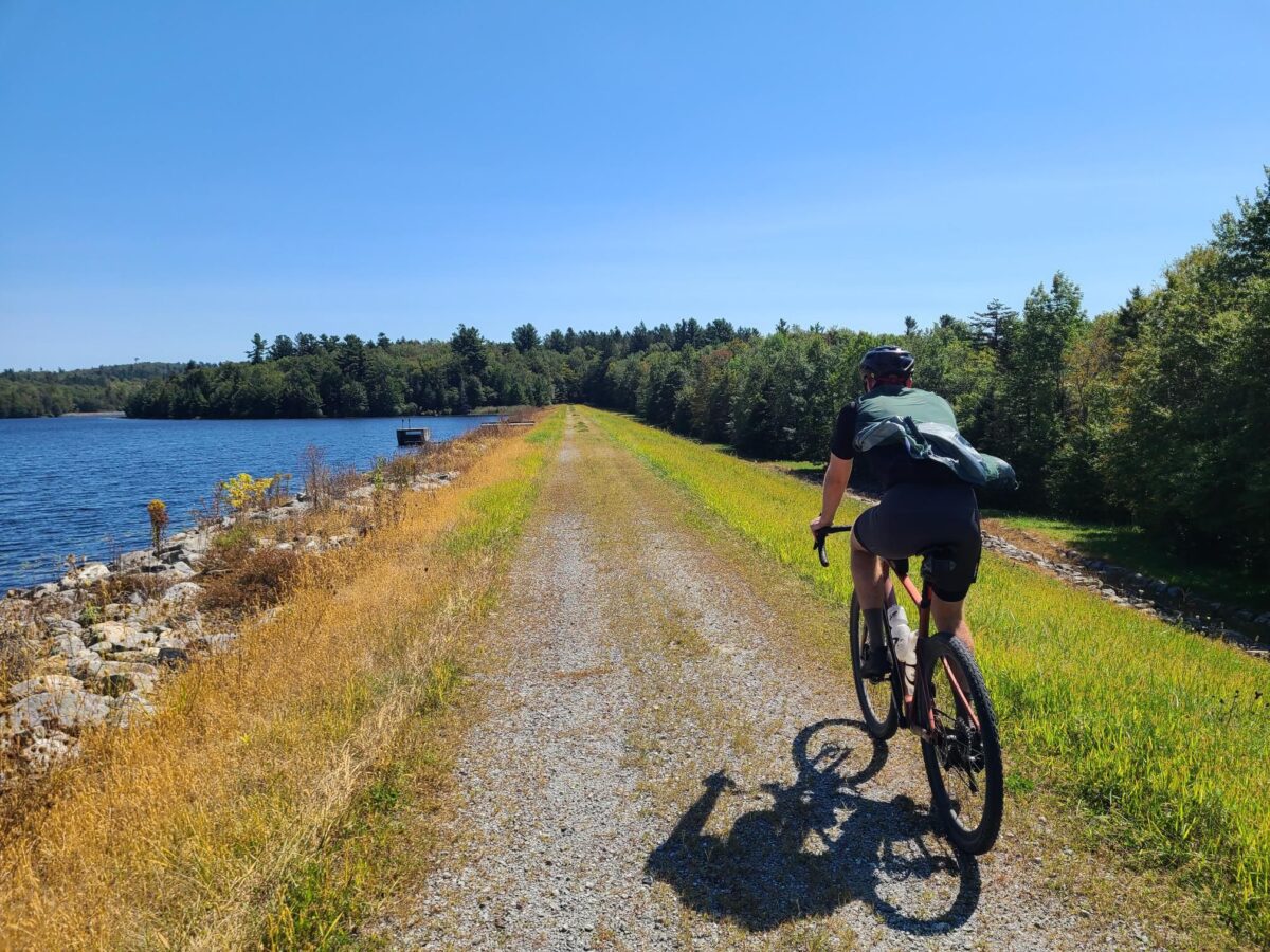
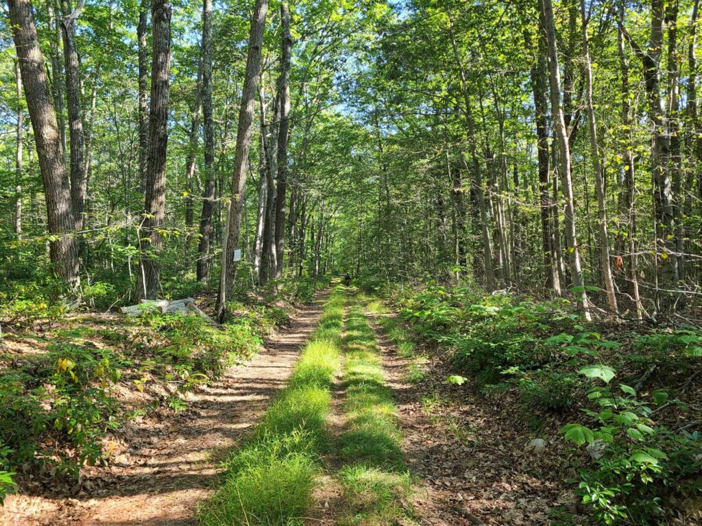
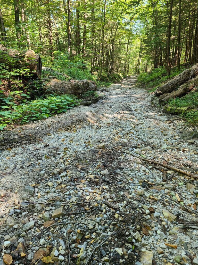
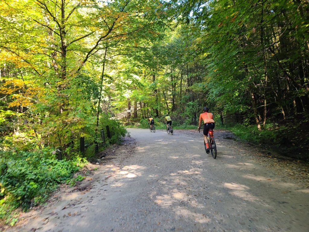
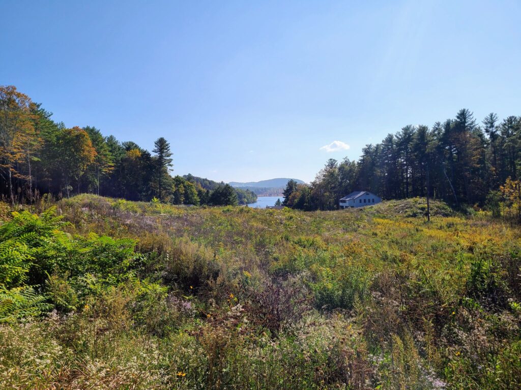
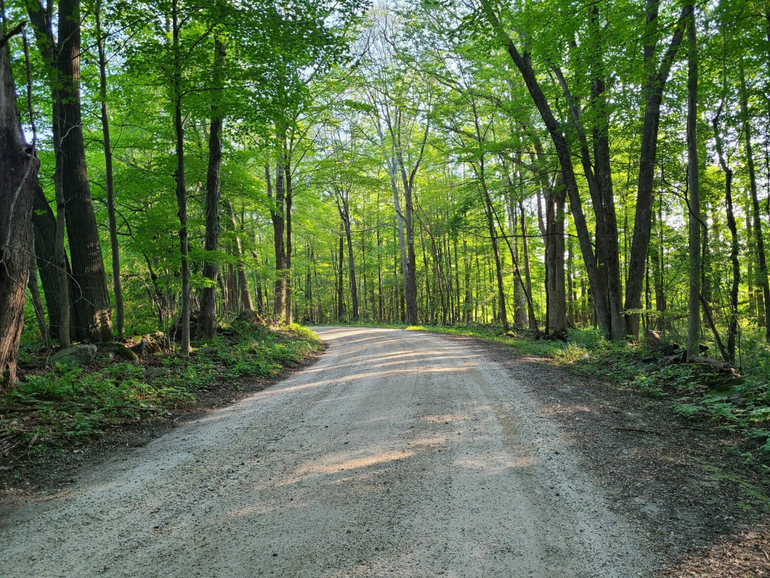
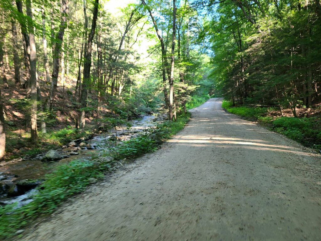
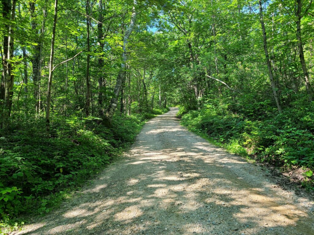
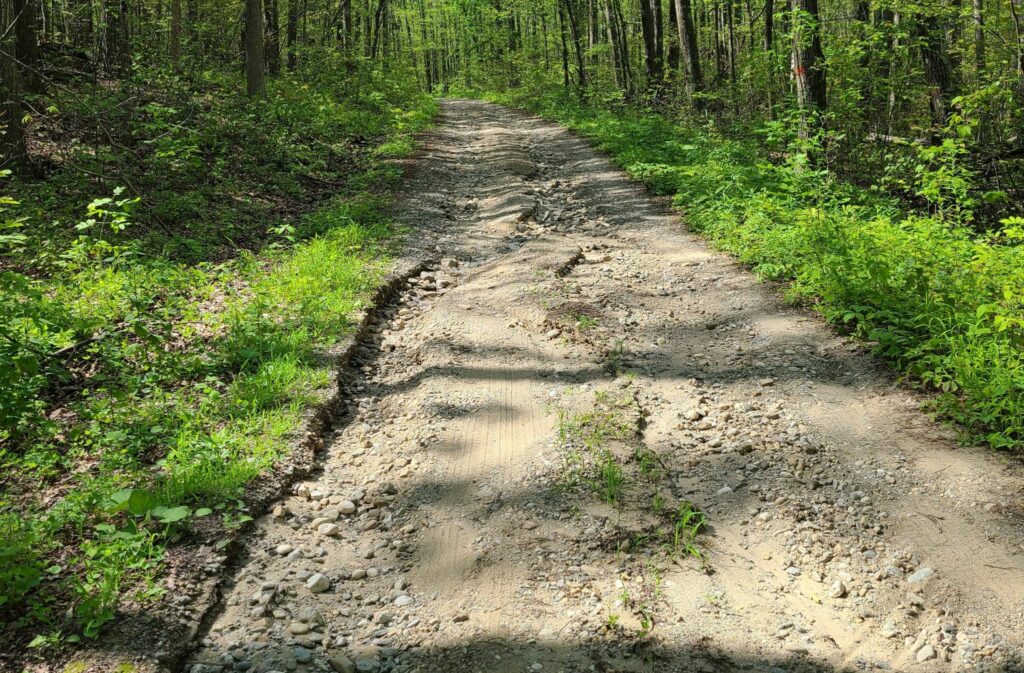
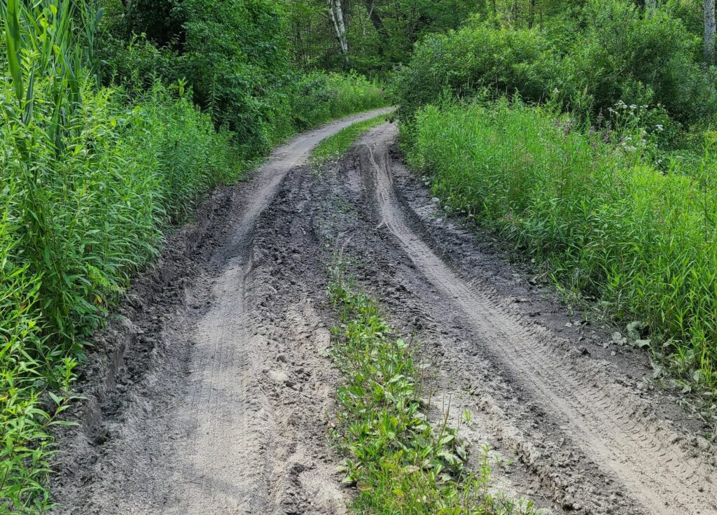
This route (October Mtn) was a gorgeous mix of deep woods, open vistas, smooth dirt, rough dirt, and some double-track and jeep-road adventure mixed in. About 85 miles was new exploration for GrNY, including the lovely October Mountain area. Note that conditions will change greatly if the weather has been wet recently (i.e., expect deep puddles, mud, and stream-bed-like sections), so choose your timing for this route accordingly! We chose a period of dry weather. Also consider whether to bring larger tires for the rougher sections. Steve was on 40mm gravel tires, but he would have appreciated fatter tires in places. Please use caution on the rougher parts, particularly the descents.
The route travels from North Canaan, CT to October Mountain State Forest in Massachusetts and includes all of the dirt from F2G2 (Fall Foliage Gravel Grinder) and a lot more. Expect ~65% dirt roads by distance, but probably 75% dirt by riding time.
This ride started in Millerton, NY, quickly reached the base of Mt Riga Rd in the Berkshires, and then continued northward where we spent most of the day riding in Columbia County, NY. This is the area between the Farmer’s Daughter routes (to the north) and our own GrNY routes in Dutchess County (to the south). I don’t think anybody left disappointed!
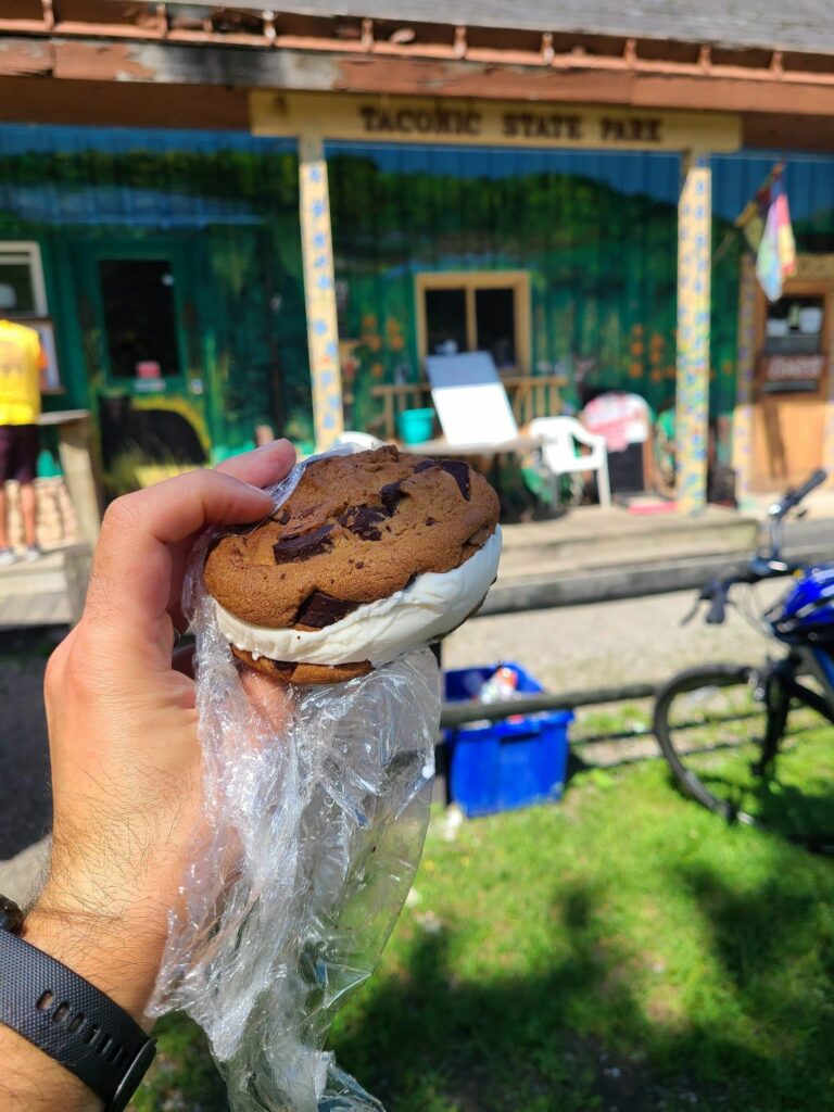
For this ride, Steve reached out to GrNY riders in our long-distance pace group and those riders invited others. We made food stops at the Depot Deli across from Taconic State Park Campground and at the Hawthorne Valley Farm Store. After the ride, we met at a BBQ place for food and post-ride celebrating.
This was the second year that we’ve done this ride (previously in 2022). It needs to become an annual tradition! This is some of the best riding in our broader region. Absolutely worth the trip and the effort. Note: You’ll need a car (or a lift from another rider) to get to the start location.
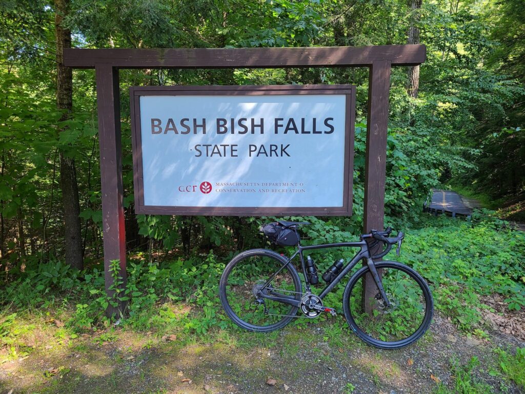
Ride description: Epic gravel ride that includes the climb up Mt Riga (~1250ft), the more challenging climb to Sunset Rock (~1050ft, but considerably steeper), the flat (and beautiful) Housatonic River Road, and other premium stretches of gravel in the region. It includes the option to visit Bash Bish falls (the trail is just steps away from the route). This can easily be made into a two-day bikepacking adventure (camping overnight at Taconic Falls State Park). Worth the drive!
Itinerary for our ride. -19.5 mi: Optional water/gatorade stop at LaBonne’s Market in Salisbury **34.5 mi: Required stop at Depot Deli for snacks/food/water. This will be needed after climbing Mt Riga and before climbing Sunset Rock (each 1250ft and 1050ft, respectively). Bathrooms potentially available at Taconic State Park campground across the street (when open for the season). **49 mi: Lunch or snacks at one of these places: a) The Marketplace Kitchen and Cafe in Sheffield (sandwiches, etc, but extremely slow service); b) Gulotta’s Convenience Store next to the Mobil Gas Station has sandwiches, gatorade, etc, but no batherooms!; c) The Bakin’ Bakery (good place for desserts, they had small bottles of gatorade, and a bathroom). -65mi: Optional detour to Falls River Cafe. **78: Required Stop at supermarket or gas station in Sharon, CT. Last reliable place to get food/drinks before end of ride. Gas station = no bathrooms. But the supermarket across the street has bathrooms.
Parking: Housatonic Meadows Picnic Area has been a safe choice. They had a decent pit-style toilet (no running water) when we last visited (Oct 2023). There is no fee (just drive and park — no booth). Mark’s ride starts at Housatonic High School. I’m guessing that will work for weekends or summer, only.
Too long? Try these still epic, but shorter options. The shorter routes include both big climbs and the Berkshires sections.
On June 24, 2022, a group of GrNY riders completed this epic ride to celebrate 2x Peter’s birthday (plus some extra miles to make it an even century). It was also a great sendoff before I head to Colorado for the rest of the summer. The upper ~65 miles come from Mark L’s excellent 2021 Riga route. I did an 80-mile version of this route last summer and knew that I needed to return!
Route Description:
Epic gravel ride that includes the climb up Mt Riga (~1250ft), the more challenging climb to Sunset Rock (~1050ft, but steeper), the flat (and beautiful) Housatonic River Road, and other premium stretches of gravel in the region. It includes the option to visit Bash Bish falls (just steps away from the route). Worth the drive!
I’ve pasted the RidewithGPS route below, which contains a detailed description and options for shorter 75- and 86-mile distances. The 75-mile route is probably the sweet spot as it includes both big climbs and the entire Berkshires part of the ride. The last 22 miles of the full route have some excellent dirt roads, too. We were originally going to start in Kent, CT, but moved the start location to Housatonic Meadows State Park Picnic Area to allow for some shorter “bailout” options (75 or 86 miles), in case anybody needed to get back earlier, or in case we ran out of steam. Thankfully we managed to keep the pedals turning for 100 miles and 9500 ft of climbing and had an awesome ride! We celebrated with some beer at the end.
19.5 mi: Optional water/gatorade stop at LaBonne’s Market in Salisbury
34.5 mi: Required stop at Depot Deli for snacks/food/water. This will be needed after climbing Mt Riga and before climbing Sunset Rock (each 1250ft and 1050ft, respectively). Bathrooms available at Taconic State Park near the swimming area (across the street).
49 mi: Lunch at the Marketplace Kitchen and Cafe in Sheffield (sandwiches, etc). They might not carry sports drinks, but we could backtrack 0.1 miles to the Mobile Station across the street if needed.
65mi: Optional detour to Falls River Cafe.
78mi: Required Stop at supermarket in Sharon, CT. Last reliable place to get food/drinks before end of ride.
Parking:
Housatonic Meadows Picnic Area has been a safe choice. They had decent porta-potties when we last visited (late June, 2022). There is no fee (just drive and park — no booth). Mark’s ride starts at Housatonic High School. I’m guessing that will work for weekends or summer, only.
My Saturday ride was *not* a GrNY group ride, but I thought I would share a scouting report for those who are interested in riding in this lovely region in the future. I don’t recommend taking my exact route (i.e. don’t do this: https://www.strava.com/activities/5681995427). But I have posted a revised version below.
The heart of my ride was Mark L’s 2021 Mt Riga route, which he has characterized in detail (https://www.cyclesnack.com/2021/07/annual-mt-riga-pilgrimage.html?m=1). Thank you Mark! In my infinite wisdom (i.e. foolishness) I decided that I wanted an extended version of Mark’s adventure. The version I rode ended up being 80 miles and ~7500′ of climbing.
Overall: It was an epic ride that included the ~1250′ climb up Mt Riga, the steeper ~1000′ climb up Sunset Rock, and the beautiful (flat) River Rd along the Housatonic River just north of West Cornwall. My version added a pleasant southern gravel loop in the Sharon, CT region, which could easily be extended by continuing in the southeast direction (see GravelMap.com if you are unfamiliar). I had originally mapped >90 miles before sanity kicked in and I cut it down to 80.
Interesting dirt/gravel sections (in order of appearance):
The Mt Riga climb (1250′) was not as tough as I had expected/feared. It was long, but the average grade was ~5% and the really steep sections were not too long.
Sunset Rock (1000′) was actually tougher with a much steeper average grade on the main climb.
Between the Lakes Rd (mostly flat) was a wonderful stretch of dirt between Washinee Lake and Twin Lakes. Great water views in both directions.
Wildcat Hollow Rd (mostly flat) was somewhat true to it’s name in that it was a minimally maintained, very rough section of dirt/gravel through the woods. A bit more technical than other roads mentioned thus far.
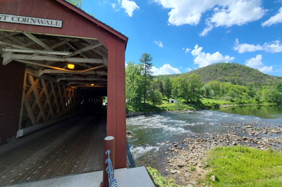
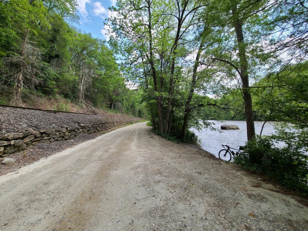
The section of River Rd (flat), just north of West Cornwall, was a lovely highlight. It was between a seemingly rarely-used train corridor and the impressive Housatonic River.
Mt Easter Rd and Clay Bed Road (skip it): I rode this 3.5 mile sand pit so you don’t have to! After climbing at 9% average grade for 1.1 miles in the afternoon sun (up Swaller Hill Rd) I entered Mt Easter “road”. I would characterize it as an unimproved jeep and ATV trail with big washouts and deep sand in many places. I continued for the complete distance, slowly fishtailing in the sand, bunny hopping over gulleys, and nearly toppling over a few times. If you are going to visit here, don’t do it on 38mm slicks like I did!
The southern gravel loop included Butter Rd, Bowne Rd, and Tichnor Rd. These were very pleasant forested gravel roads over rolling terrain. They were mostly well-maintained.
Steve’s extended version (78 miles, ~7000′): https://ridewithgps.com/routes/36928079 – This improved version removes the 3.5 mile Mt Easter Rd section of sandy jeep/ATV trails. By consequence, it also removes the Swaller Hill Rd climb.
Parking: Nobody gave me trouble for parking at the Sharon Audubon Center on a quiet Saturday, but there were tons of signs saying ‘no parking’ during morning and afternoon camp pickup hours (presumable on weekdays?). Mark’s ride starts at Housatonic High School, but I’m guessing that parking is only allowed on weekends when school is not in session? Maybe someone who is local can chime in.
-Steve
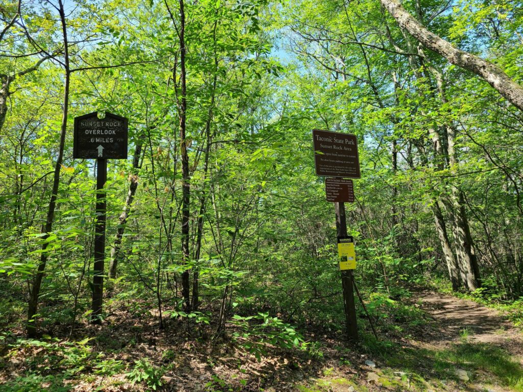
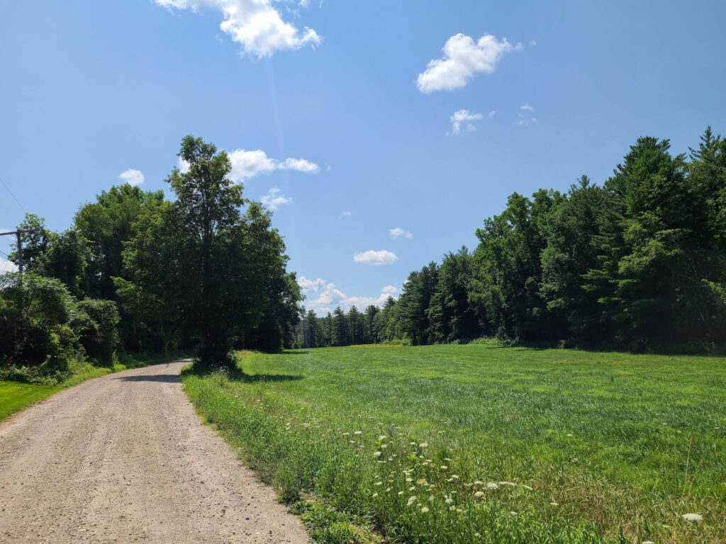
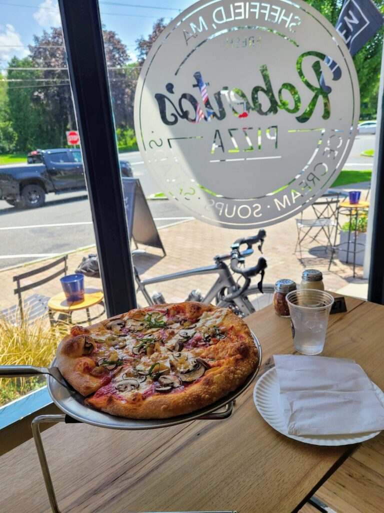
Race Track Rd (gravel) with mist rising in the morning air.Dark Hollow Rd (lovely wooded section). I made use of a handy stick to serve as a kickstand.Mt Riga Rd. Blurry b/c I was climbing. I didn’t put a foot down until I got to the highest point of elevation.Mt Washington Rd (after climbing Mt. Riga)Bash Bish Falls (it’s a short walk to a very impressive waterfall)Depot Deli just outside of Taconic State Park (where Kathy and I have camped a couple of times). There is a swimming area with water fountains and bathrooms in the campground across the street.View from North Mountain Rd (paved section on the way to the Sunset Rock climb)Sunset Rock trailhead (near the top). 0.6 miles to the overlook.Bow Wow and Giberson Rd – pleasant country dirt.Roberto’s Pizza in Sheffield, MA. Surprisingly good for not being in NY.View from Barnum St (dirt segment).Between the Lakes Rd (using a stick kickstand again).Wildcat Hollow. Rougher than a lot of the other sections of dirt on this ride, but definitely rideable without too much trouble.River Rd along the Housatonic River. Railroad tracks on the left, impressive river on the right. Very cool.Mt Easter Rd and Clay Bed Rd. Not recommended. Deep sand and lots of large washouts throughout.More deep sand on Mt Easter Rd.