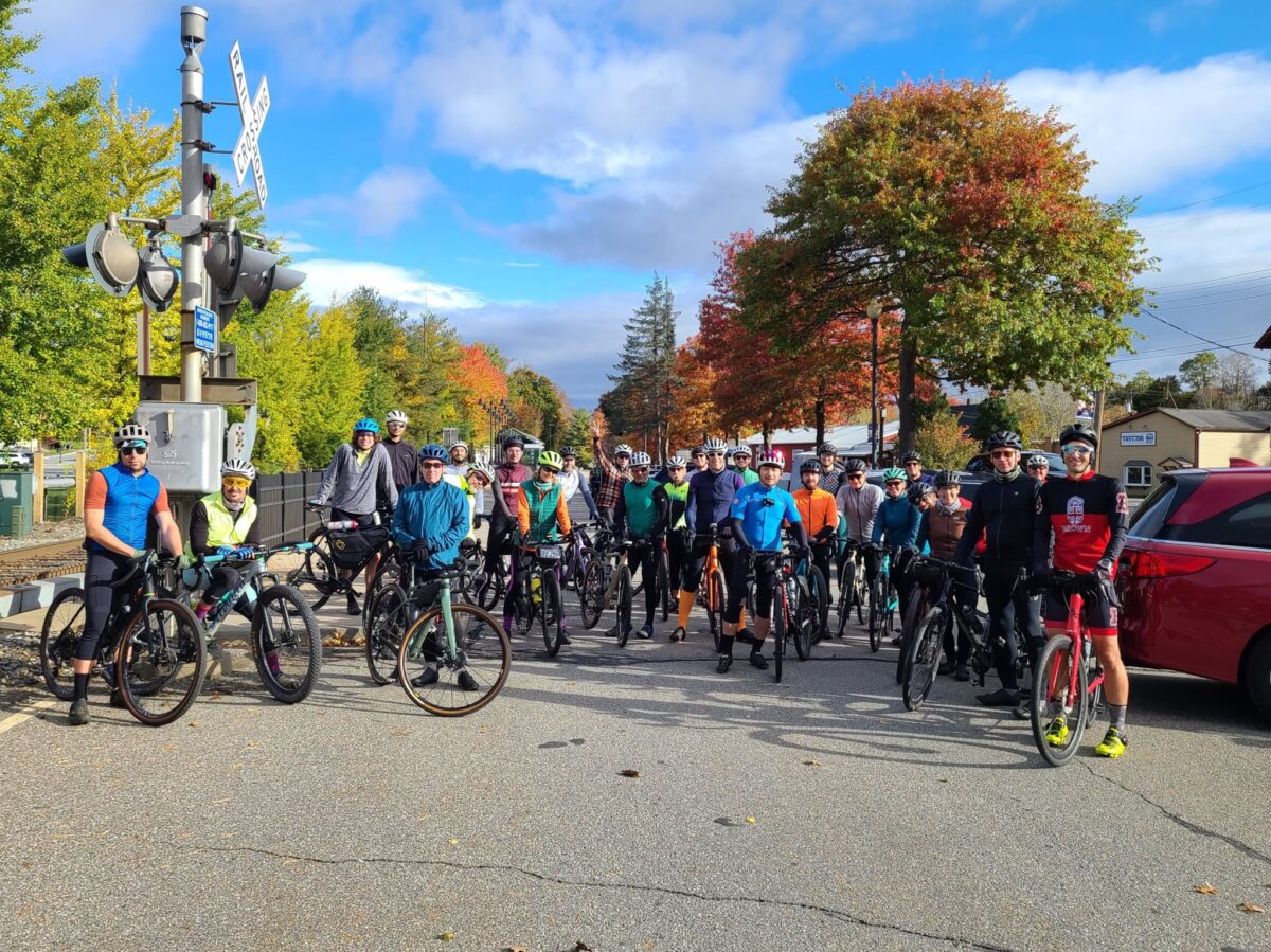
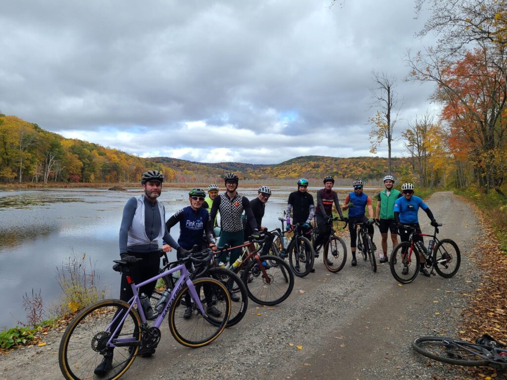
We encouraged folks to “join us while you can!”, and many people came out to ride. Days are getting shorter and temperatures are dropping. We don’t know when the best riding weather will end for the season.
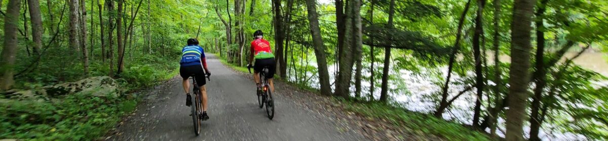
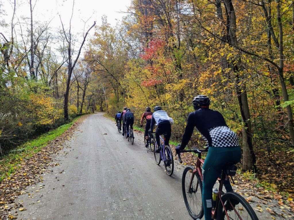
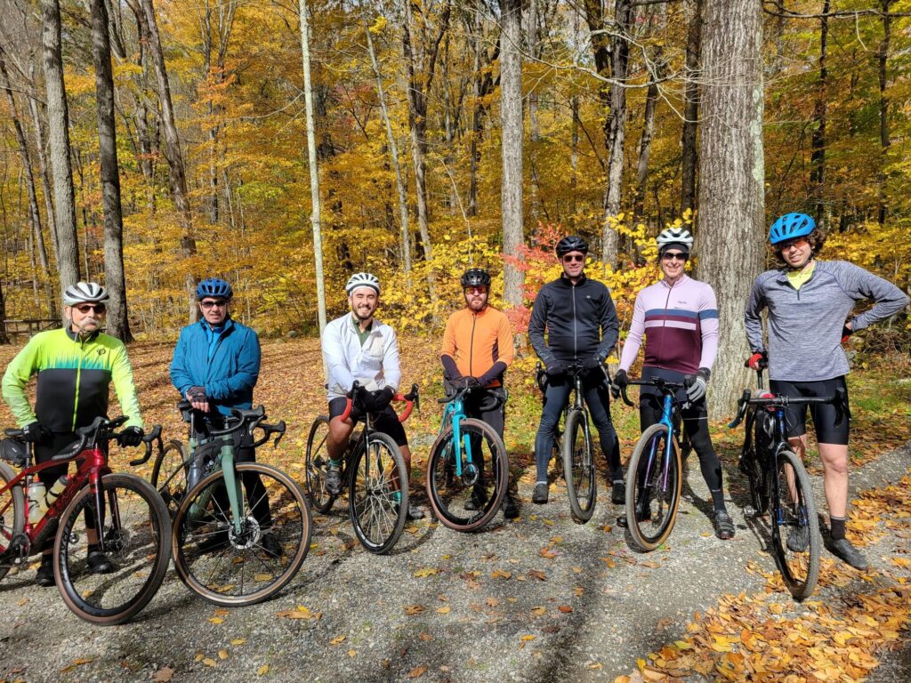
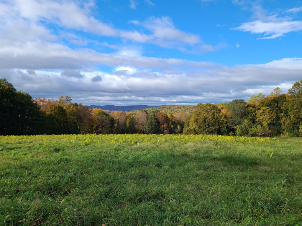
This was a beautiful ride with cool weather, gorgeous autumn leaves, and a great group of riders. We revisited our Spring Gravel Series route that starts in Pawling, NY and travels through Litchfield County, CT. It was great to return to this region for the fall colors. After the ride, people from all three pace groups gathered at O’Connor’s Public House for food and drinks. Thank you everyone who joined us for this spectacular day!
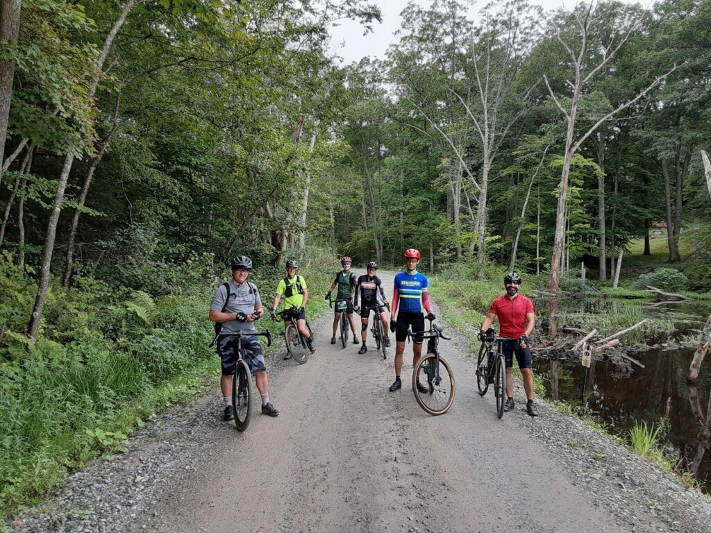
On Sunday, August 29, GrNY riders (including two new members) lined up to tackle either a 50+ or 80+ mile gravel route that included the challenging climb up Skiff Mountain near Kent, CT.
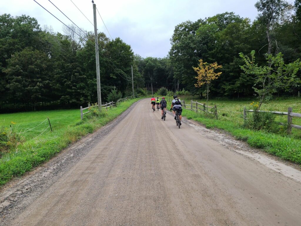
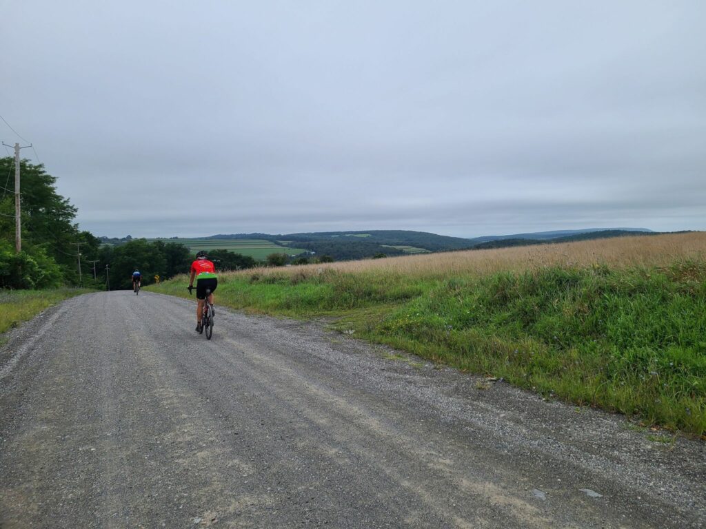
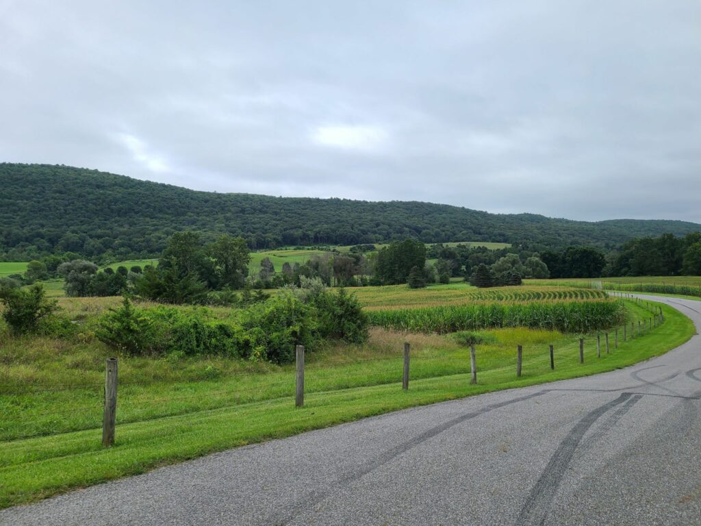
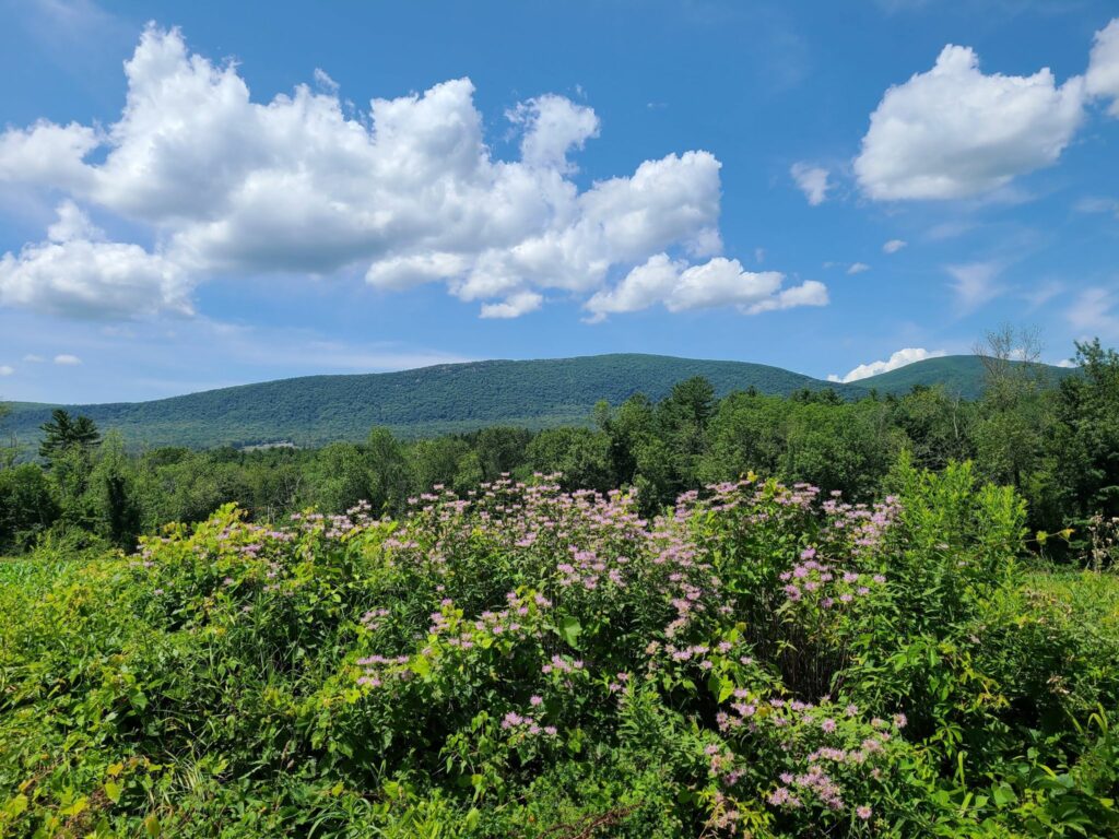
Overall, it was an awesome day out. We had good weather for riding (highs in the 70s and no rain, despite the gray skies); the roads were in better condition than we expected given Hurricane Henri the week before; everyone managed to complete the route (either 50+ or 80+ miles), and we covered some beautiful rural roads through farms, forests, and nature preserves.
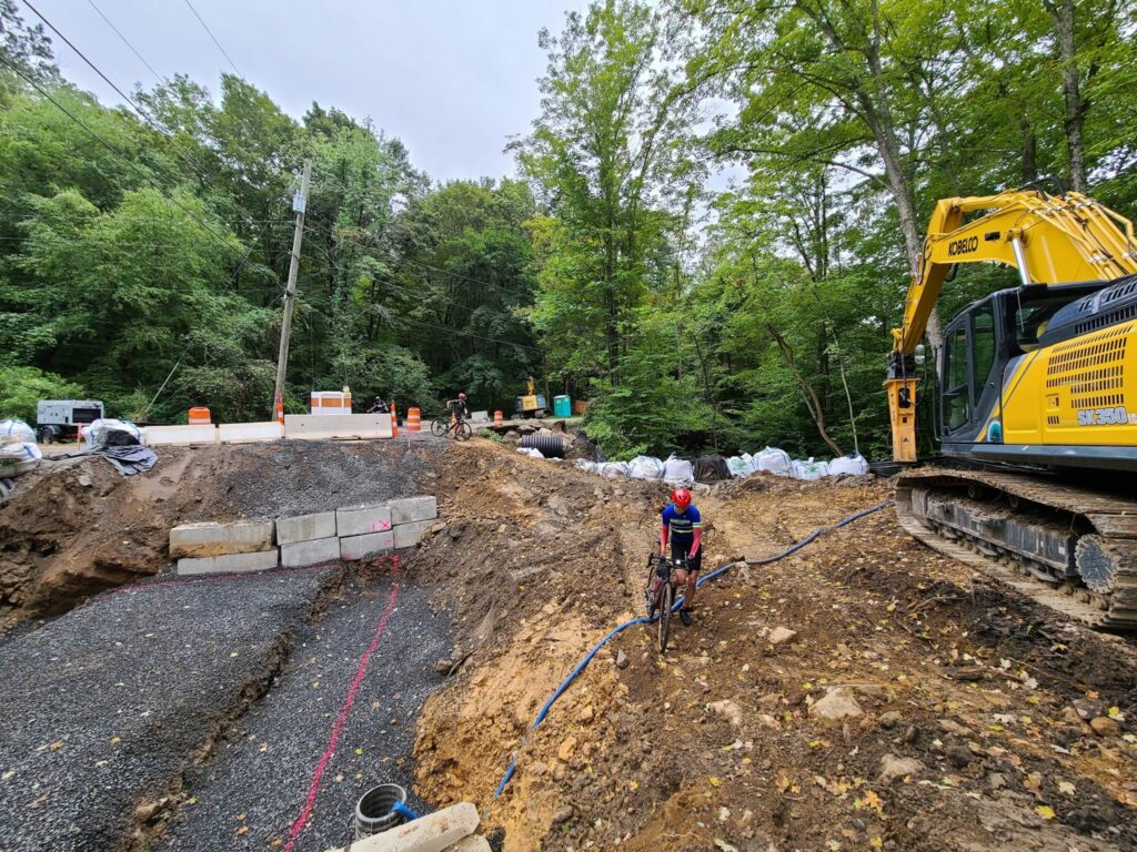
That said, the start of our ride didn’t go as planned! A running race led to the closure of the first part of our route. We managed to detour. About 9 miles from the start, we came to another closed road. The bridge was completely missing. Water pumps were running and there were no construction crews around, so we crossed the construction zone.
One of the ride highlights — or lowlights depending on how much time a rider spent riding vs walking — was the climb up Skiff Mountain via N Kent Road. This is a minimally maintained road that resembles a jeep trail more than the hard-packed dirt roads on the rest of the route. It is a significant climb (>1000’), it is very steep in places (up to 20%), and continues for a long way (2.5 miles at 9 to 10% average grade), but it is the loose surface that makes it particularly challenging.
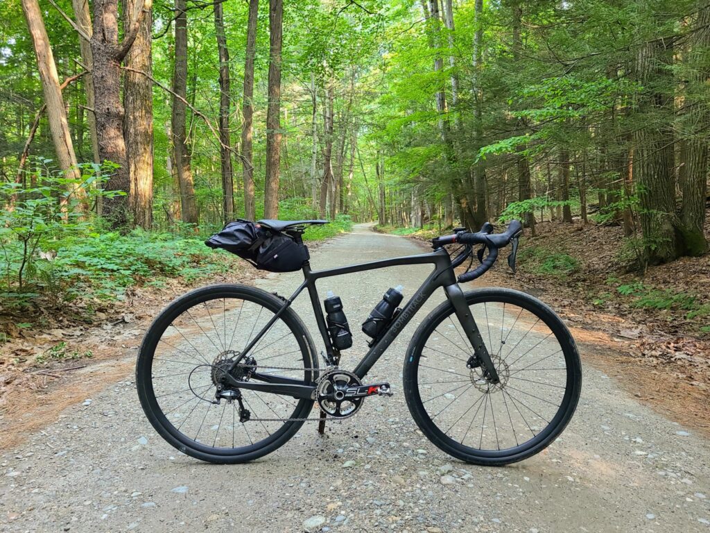
A couple of us managed to ride the entire way (which definitely felt like an accomplishment). Others managed to ride most of the way, but had to walk the steepest or loosest sections (not enough traction). One or two riders probably spent more time walking. My only tips are to keep your weight back, try to pick good lines (i.e. look for the better-packed sections), spin smoothly, and otherwise try to keep your wheel straight (not turned) through the loose stuff. I was running 38mm slick tires, but I’m sure wider would have been better.
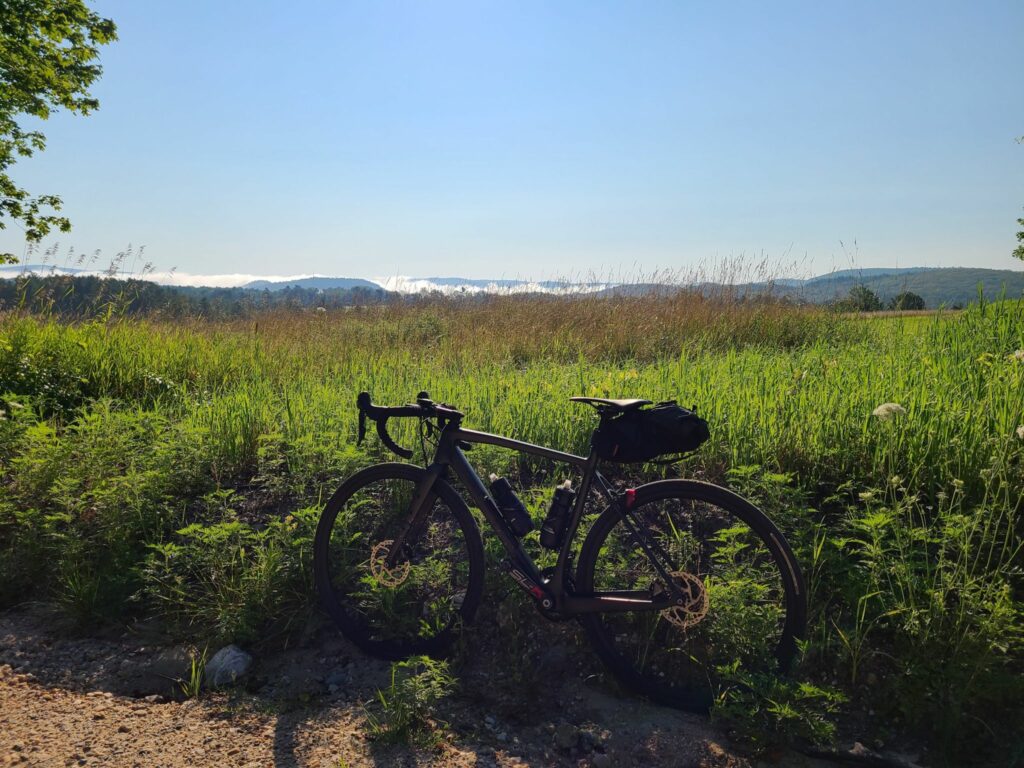
Splitting up: Soon after Skiff Mountain, around mile 26, we split into two groups. Some of us continued on the 80+ mile route, which travelled through picturesque dirt roads in Dutchess County, NY. Others stayed mostly within Litchfield, CT and passed through the beautiful Macedonia Brook State Park to complete 50+ miles on the day. The 50+ mile group confirmed that everybody made it and enjoyed the route. Our 80+ mile group put in a long, but enjoyable day on the bike, with our fuel tanks mostly drained by the end. Total distance was ~83 miles and between 7200’ and 7800’ of climbing depending on whose device and routing service you believe.
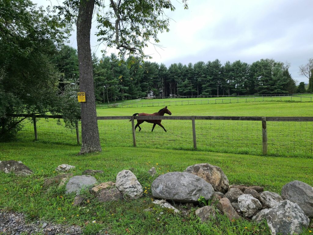
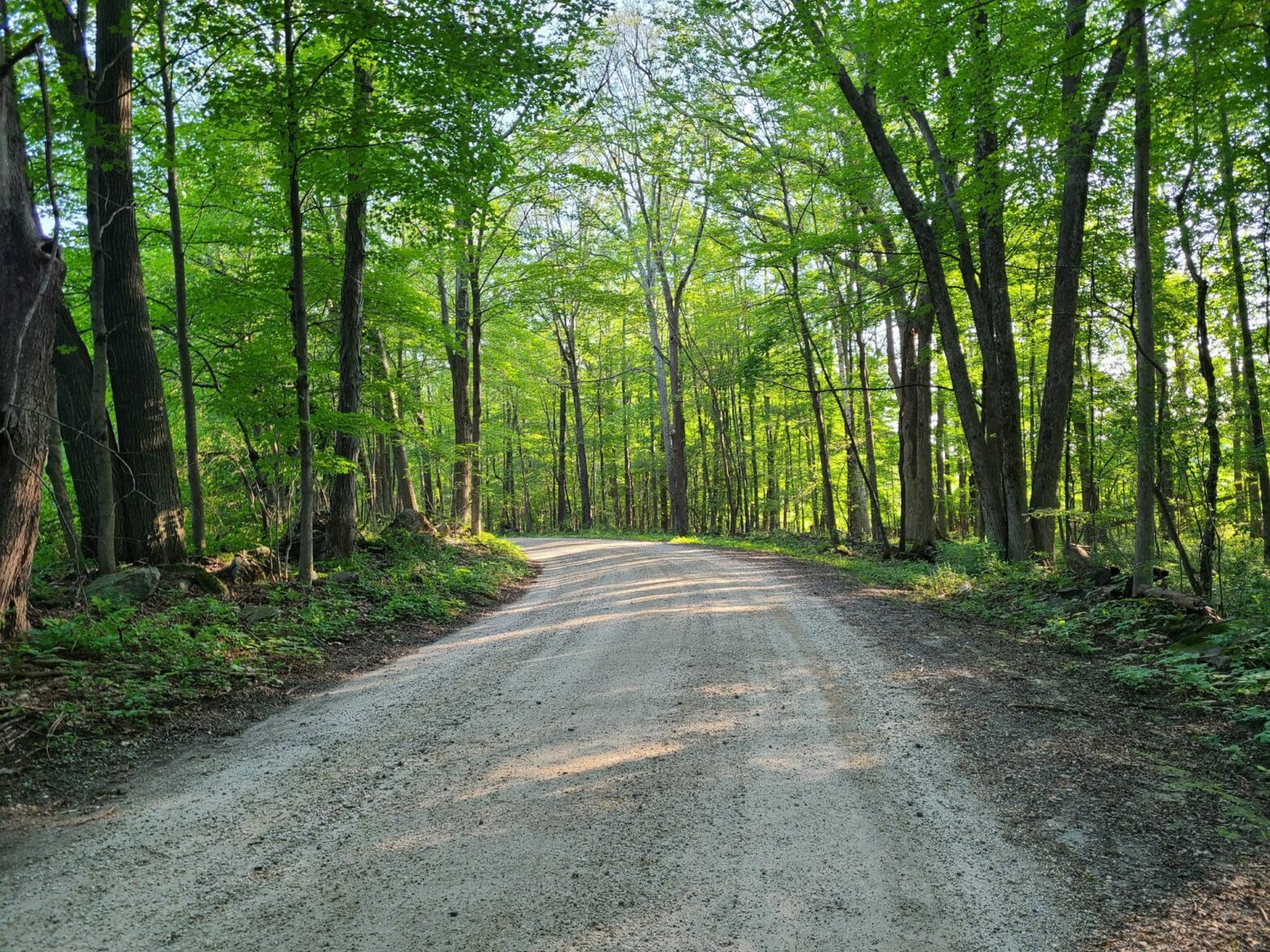
Dutchess County farm country.Riders (minus the photographer, Brian)Dirt roads. Sorry, but I don’t have any photos of the road up Skiff Mountain. I was working hard just to stay upright!More farm country (Dutchess County)Rolling hills of forest and farm.Where’s the bridge?Galloping Horses
My Saturday ride was *not* a GrNY group ride, but I thought I would share a scouting report for those who are interested in riding in this lovely region in the future. I don’t recommend taking my exact route (i.e. don’t do this: https://www.strava.com/activities/5681995427). But I have posted a revised version below.
The heart of my ride was Mark L’s 2021 Mt Riga route, which he has characterized in detail (https://www.cyclesnack.com/2021/07/annual-mt-riga-pilgrimage.html?m=1). Thank you Mark! In my infinite wisdom (i.e. foolishness) I decided that I wanted an extended version of Mark’s adventure. The version I rode ended up being 80 miles and ~7500′ of climbing.
Overall: It was an epic ride that included the ~1250′ climb up Mt Riga, the steeper ~1000′ climb up Sunset Rock, and the beautiful (flat) River Rd along the Housatonic River just north of West Cornwall. My version added a pleasant southern gravel loop in the Sharon, CT region, which could easily be extended by continuing in the southeast direction (see GravelMap.com if you are unfamiliar). I had originally mapped >90 miles before sanity kicked in and I cut it down to 80.
Interesting dirt/gravel sections (in order of appearance):
The Mt Riga climb (1250′) was not as tough as I had expected/feared. It was long, but the average grade was ~5% and the really steep sections were not too long.
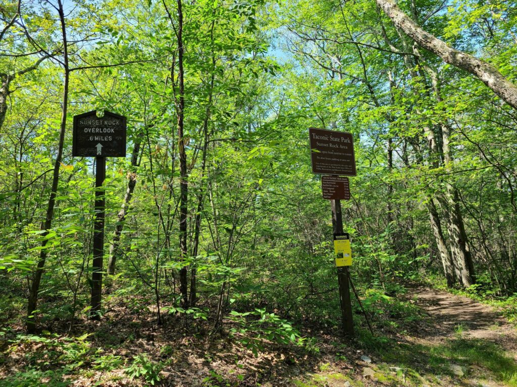
Sunset Rock (1000′) was actually tougher with a much steeper average grade on the main climb.
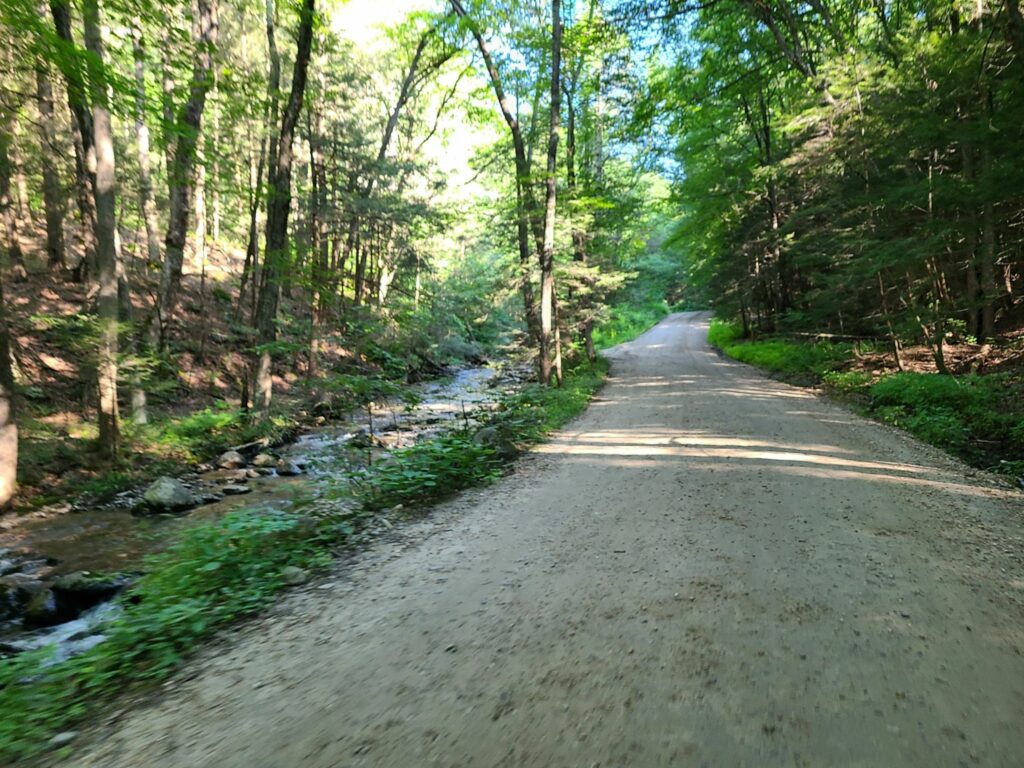
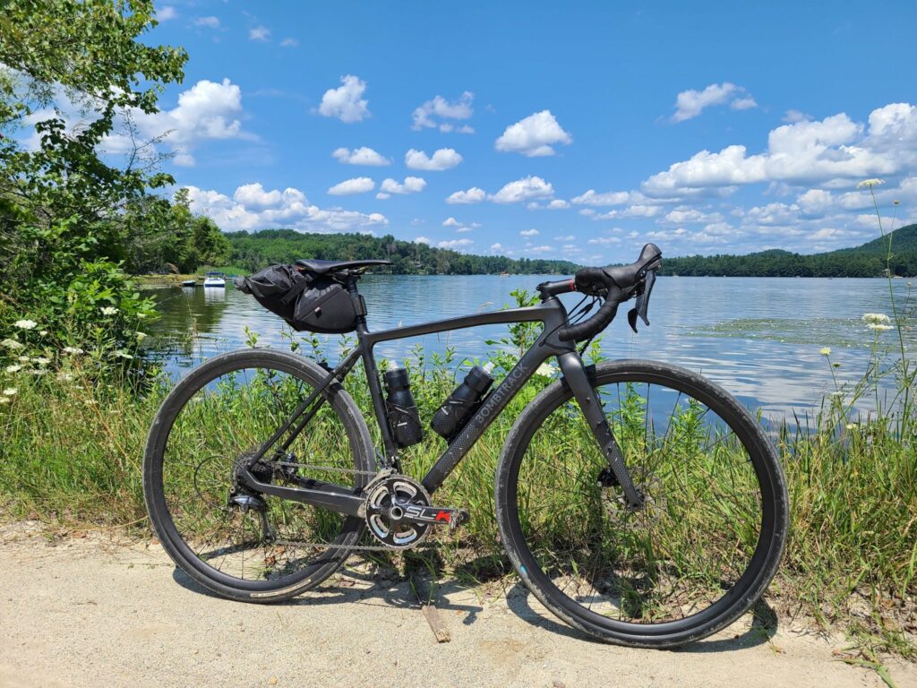
Between the Lakes Rd (mostly flat) was a wonderful stretch of dirt between Washinee Lake and Twin Lakes. Great water views in both directions.
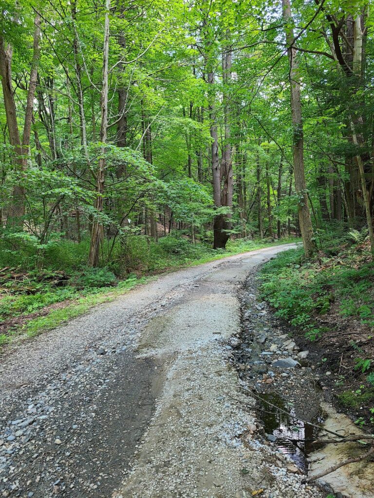
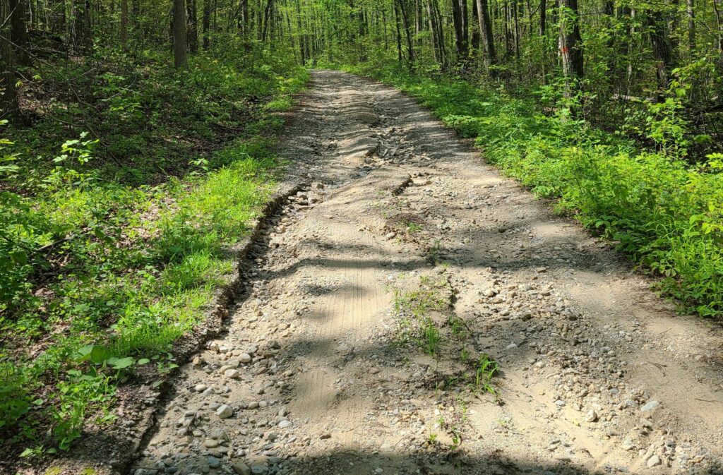
Wildcat Hollow Rd (mostly flat) was somewhat true to it’s name in that it was a minimally maintained, very rough section of dirt/gravel through the woods. A bit more technical than other roads mentioned thus far.
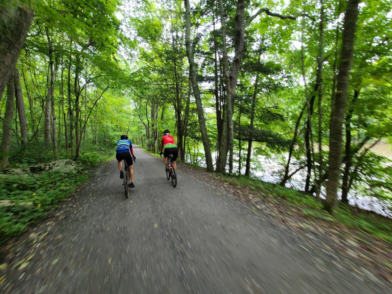
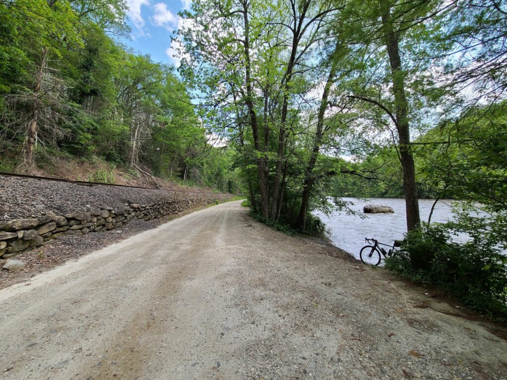
The section of River Rd (flat), just north of West Cornwall, was a lovely highlight. It was between a seemingly rarely-used train corridor and the impressive Housatonic River.
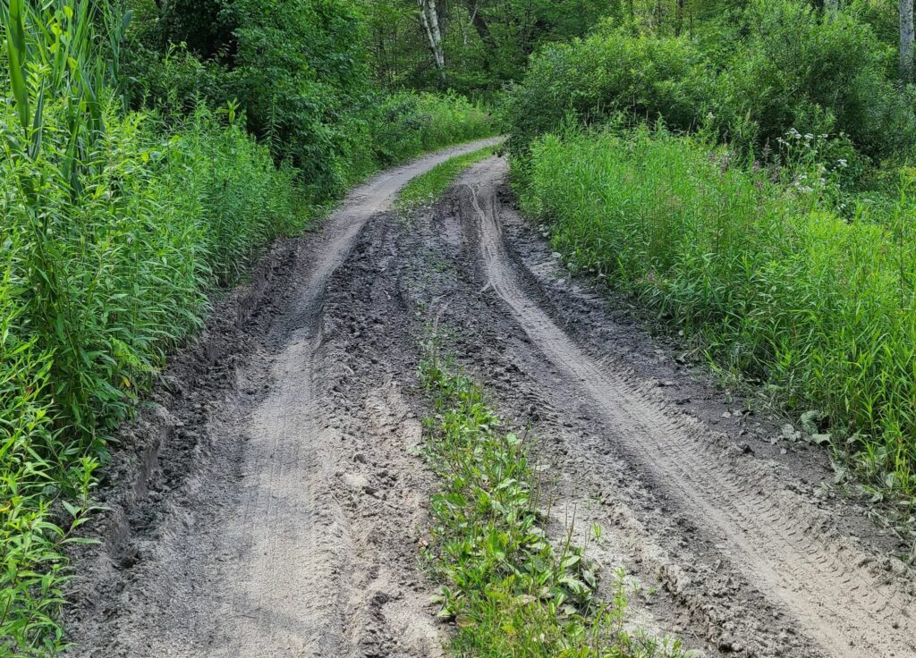
Mt Easter Rd and Clay Bed Road (skip it): I rode this 3.5 mile sand pit so you don’t have to! After climbing at 9% average grade for 1.1 miles in the afternoon sun (up Swaller Hill Rd) I entered Mt Easter “road”. I would characterize it as an unimproved jeep and ATV trail with big washouts and deep sand in many places. I continued for the complete distance, slowly fishtailing in the sand, bunny hopping over gulleys, and nearly toppling over a few times. If you are going to visit here, don’t do it on 38mm slicks like I did!
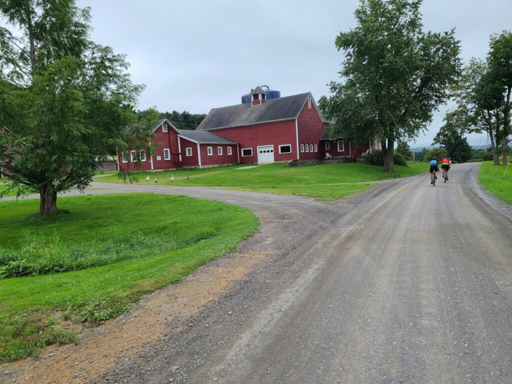
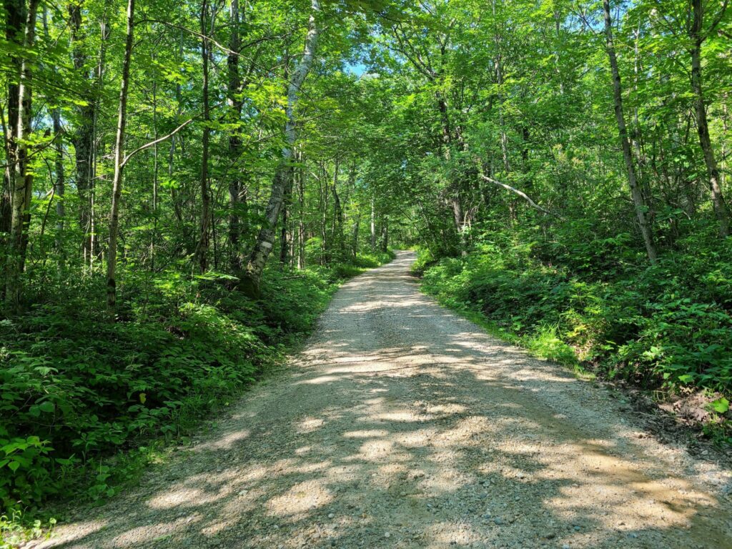
The southern gravel loop included Butter Rd, Bowne Rd, and Tichnor Rd. These were very pleasant forested gravel roads over rolling terrain. They were mostly well-maintained.
Steve’s extended version (78 miles, ~7000′): https://ridewithgps.com/routes/36928079 – This improved version removes the 3.5 mile Mt Easter Rd section of sandy jeep/ATV trails. By consequence, it also removes the Swaller Hill Rd climb.
Parking: Nobody gave me trouble for parking at the Sharon Audubon Center on a quiet Saturday, but there were tons of signs saying ‘no parking’ during morning and afternoon camp pickup hours (presumable on weekdays?). Mark’s ride starts at Housatonic High School, but I’m guessing that parking is only allowed on weekends when school is not in session? Maybe someone who is local can chime in.
-Steve
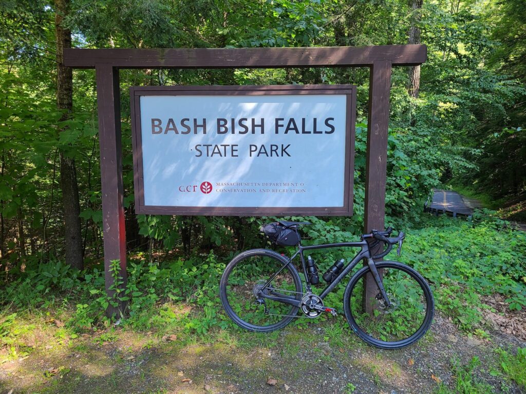
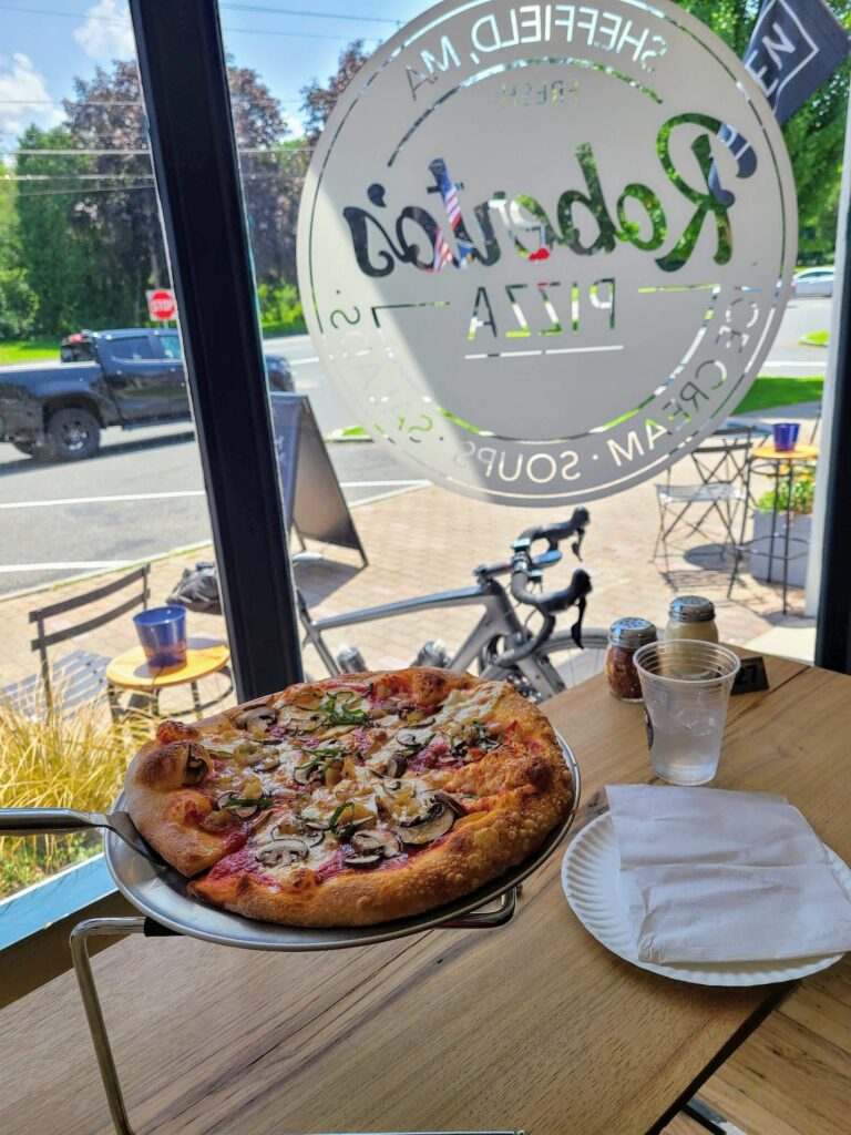
Race Track Rd (gravel) with mist rising in the morning air.Dark Hollow Rd (lovely wooded section). I made use of a handy stick to serve as a kickstand.Mt Riga Rd. Blurry b/c I was climbing. I didn’t put a foot down until I got to the highest point of elevation.Mt Washington Rd (after climbing Mt. Riga)Bash Bish Falls (it’s a short walk to a very impressive waterfall)Depot Deli just outside of Taconic State Park (where Kathy and I have camped a couple of times). There is a swimming area with water fountains and bathrooms in the campground across the street.View from North Mountain Rd (paved section on the way to the Sunset Rock climb)Sunset Rock trailhead (near the top). 0.6 miles to the overlook.Bow Wow and Giberson Rd – pleasant country dirt.Roberto’s Pizza in Sheffield, MA. Surprisingly good for not being in NY.View from Barnum St (dirt segment).Between the Lakes Rd (using a stick kickstand again).Wildcat Hollow. Rougher than a lot of the other sections of dirt on this ride, but definitely rideable without too much trouble.River Rd along the Housatonic River. Railroad tracks on the left, impressive river on the right. Very cool.Mt Easter Rd and Clay Bed Rd. Not recommended. Deep sand and lots of large washouts throughout.More deep sand on Mt Easter Rd.