Warnings about damaged dirt roads and trails in our region

Areas north of NYC experienced torrential rains during a mid-July storm (2023). It’s already mid-September, but some roads and trails have not yet been repaired. Be extra careful if you plan to ride in these areas, below.

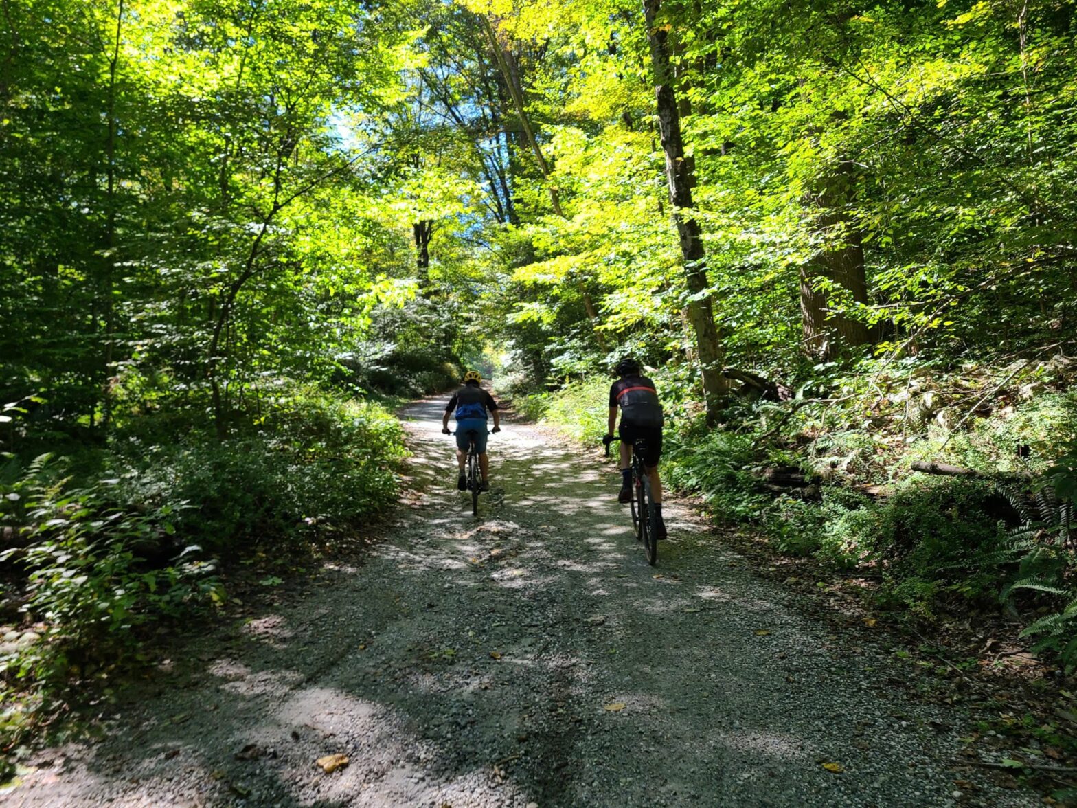
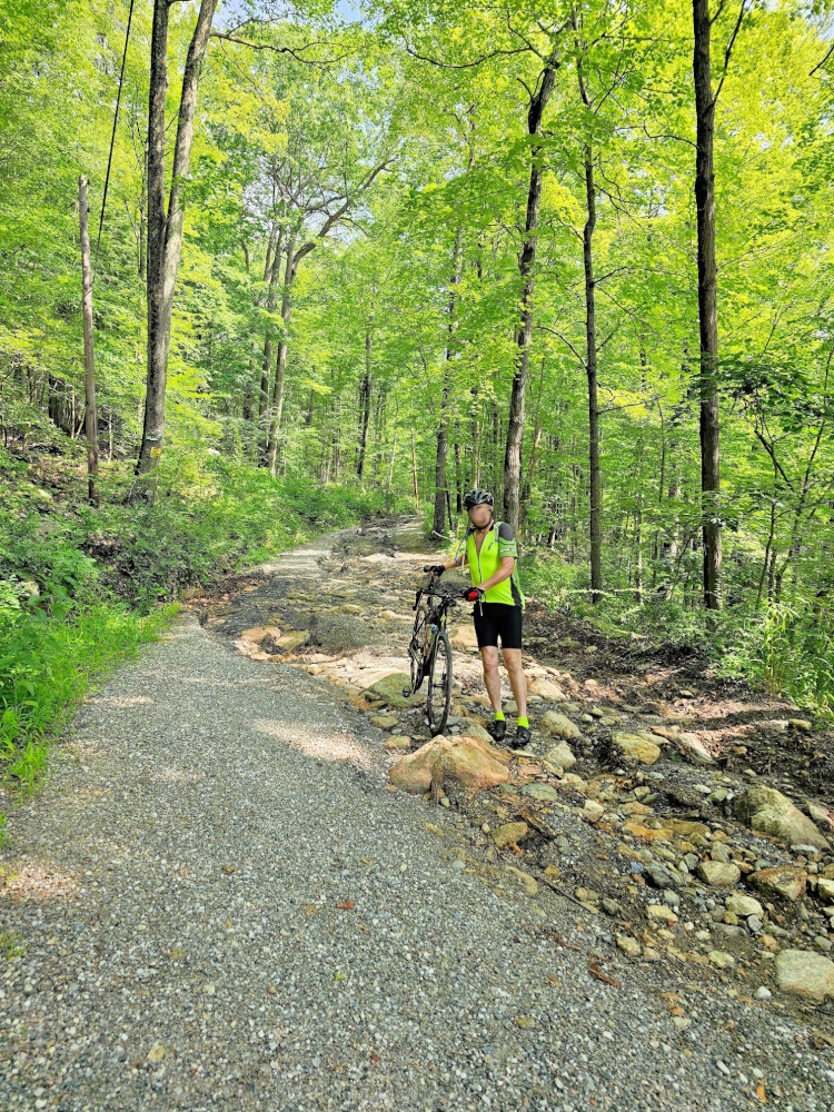
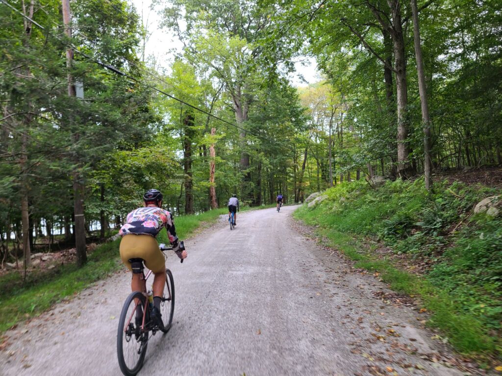
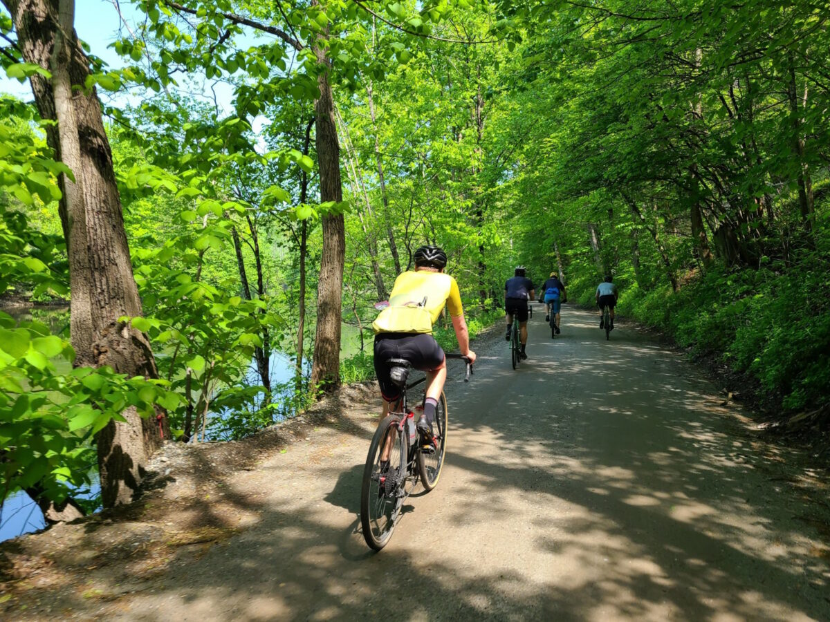
Parts of Sunken Mine Rd, in Puntam County, NY were destroyed during the aforementioned storm. I’ve heard from a few groups of riders who found this out the hard way. In one case, a rider went down pretty hard as they approached the destruction. Even on the “better” parts, I’ve heard that the road/trail is pretty rough and there are many downed branches. The photo above the post, with the rider in yellow, is of Sunken Mine Rd. It was taken by Ken shortly after the July storm. Thanks Ken!

NOTE: Many of the dirt roads in Putnam County are in rougher shape than usual. On our last ride, we encountered many more washouts, big potholes, or soft spots (where riders lost traction) than usual. Old Albany Post Rd is one example of a great dirt road, which is rideable, but extra caution is required – particularly when going downhill, where speeds will be high. We purposly routed uphill only for most of our time on that road, with one short exception, which you could consider cutting around by staying on Rt 9 in that direction.

Black Rock Forest is a beautiful place to ride. That said, it should be avoided by bike until the roads and trails can be repaired (consider a hike instead). The trails and some of the other infrastructure at this research forest were badly damaged in that July storm. I think some of that damage will take a long time to repair. Note: bikes are only allowed on the roads / jeep roads — see their trail maps. Currently, trails are open for hiking but they state: “Please exercise extreme caution on trails and roads, and especially stream crossings!”. Has anybody been to Black Rock Forest recently and ridden on the bike-allowed trails? It would be great to understand current conditions.

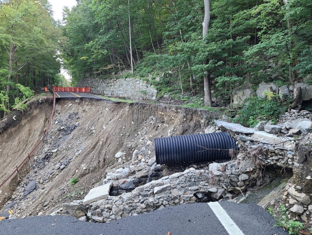
Storm King Highway still has a section that was washed into the Hudson River. Yes, this is a paved road, but it is also the main way to travel through that area, on a bike, without riding on the side of the highway (9W) with an intermittenly disappearing shoulder (the shoulder turns into a drainage culvert in places), which I do not recommend. You will *not* be able to walk around that destroyed part. One section of the rear slope is a sheer rock face with water running down it, like a waterfall that is ready to carry you down the cliff.

Know about other damaged dirt roads we should watch out for? Let us know! email: track.smart@gmail.com. In particular, we tend to ride in these areas, which are within striking distance of NYC: Westchester, Putnam, Orange, and Dutchess Counties in NY; Litchfield County in CT; and the Bedminster region in NJ. Thanks!

The photo below is the state of Storm King Highway as of recently (September 2023). I’m not going to provide a photo credit since you aren’t supposed to visit that spot. The waterfall-like section is not visible in the photo, but please understand that you will not be walking around this mess. You will be stuck on one side or the other.

Sept 16, 2023: Putnam County Dirt!

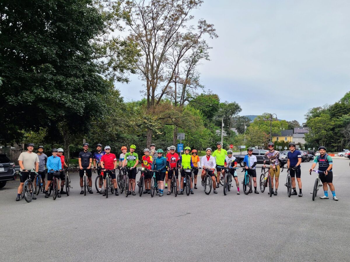
On this wonderfully cool Saturday morning, we tackled a fun and challenging set of routes that included many of the big climbs in Putnam County. We modified our original routes to avoid some dirt road sections that were badly damaged in a storm in July (particularly Sunken Mine Rd), but we still traversed some beautiful terrain.

The long route, unlike our Spring Gravel Series version, saved the two largest climbs for the last 1/3 of the ride – and we might have broken a couple of riders with that setup – sorry! Those two big climbs are tough at any time, but especially difficult after you’ve already done 5000 ft of climbing. The route was mostly downhill for the last ~10 miles if that counts for anything.

Many riders stayed to hang out over cold drinks and food after the ride, which was fun. Our long-distance group missed a few people before they headed off (we got back a little behind schedule). For the record: Kathy (medium group) and I (long group) had almost the exact same moving time, 4:14 and 4:15, so our planning was actually pretty good. That said, we ended up taking some longer pauses in the long distance group for a variety of reasons, which slowed things down a bit.

ROUTES:
-Long (v2): https://ridewithgps.com/routes/44397564
-Medium (v2): https://ridewithgps.com/routes/44402963
-Short (v2): https://ridewithgps.com/routes/44404608
Note: We’ll update these routes, particularly the long distance route, when Sunken Mine Rd is repaired again. The long distance route included a lengthy stretch along Rt 301, which was “acceptable”, but not as nice and quiet as the rest of the route.

Steve’s Strava Activity: https://www.strava.com/activities/9862724695

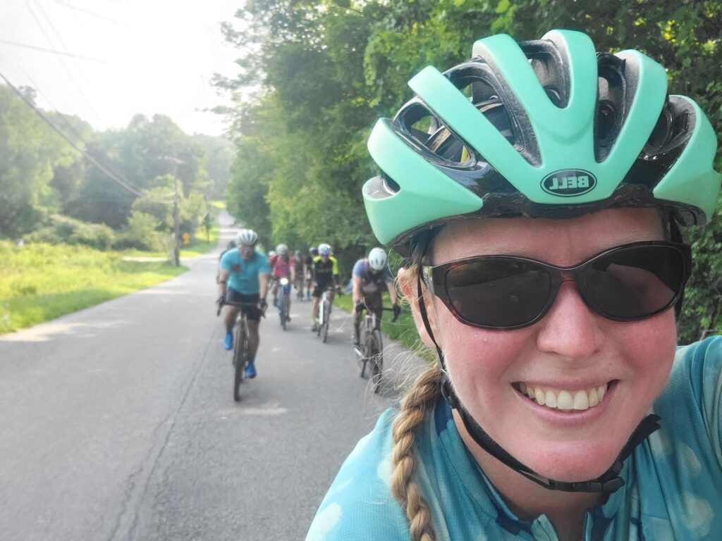
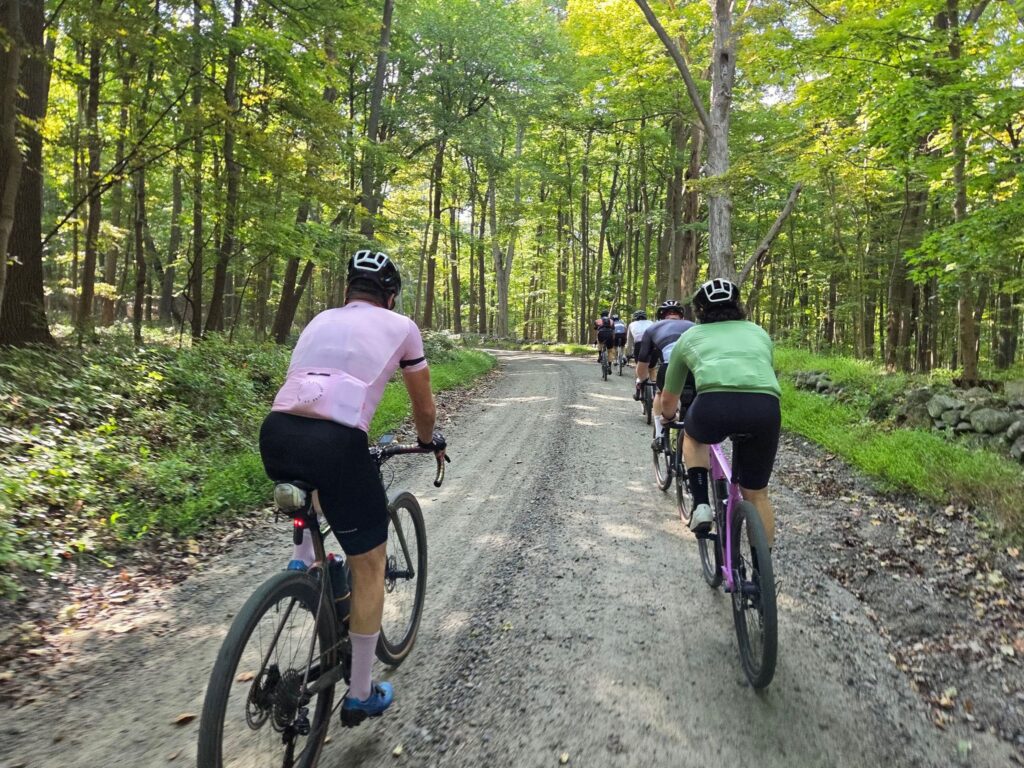
Speeding along dirt roads through the woods.

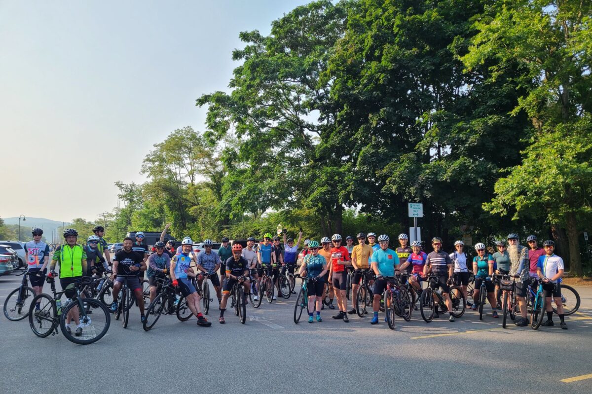
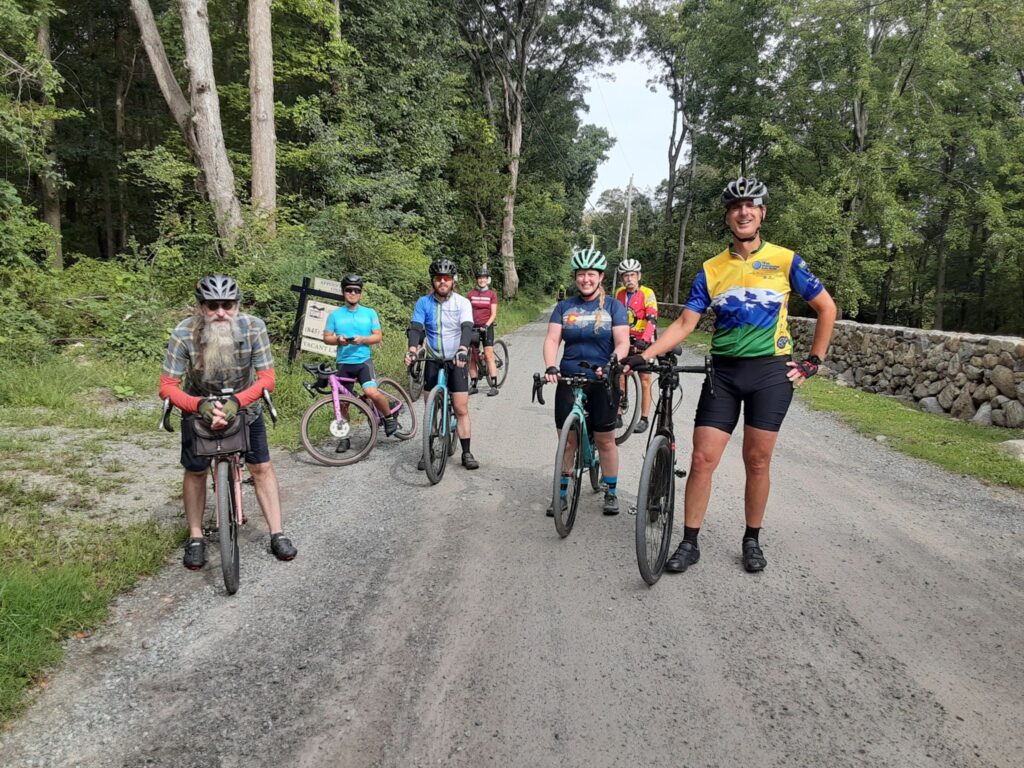
Riders from the long distance group taking a pause before the biggest climbs of the day.

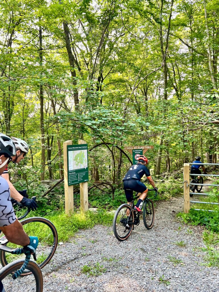
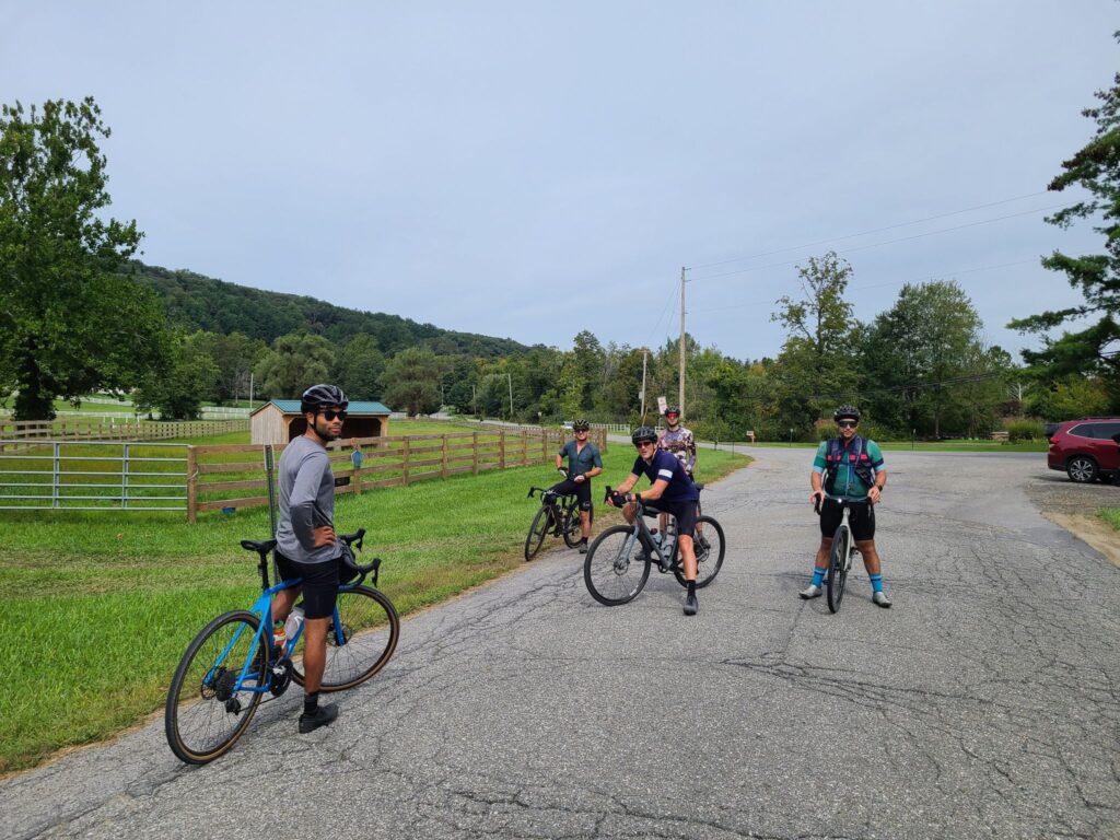
Part of the medium distance group, stopping to regroup.

GrNY’s Spring Gravel Series Starting May 6, 2023

I’m happy to announce Gravel NY’s second annual Spring Gravel Series!  

We have planned five weekends of gravel rides, starting on May 6!  Each ride will have two or three “pace groups”, which will differ in speed, distance, and intensity of climbing. There will be a common hangout location after each ride, so all groups can socialize over food and drinks. With luck, all groups will end around the same time. We hope you can join us! 

Actual routes and start times will be posted soon.  See “Pace Groups”, below, for a sense of expected distances, elevation gain, and speed of travel. 

Questions? You can email Steve at track.smart@gmail.com

Disclaimer: This is totally informal. You ride at your own risk and are responsible for your own safety.  You are expected to be self-sufficient. We cannot guarantee the condition or safety of roads and trails. Nor can we control the behavior of other riders. This is not a supported event.

SCHEDULE OF RIDES*

May 6: Katonah, NY. Ride some of the best and most scenic rural roads in Westchester County. Please RSVP via Strava: https://www.strava.com/clubs/513005/group_events/1366051

 May 13: Dover Plains, NY. The picturesque dirt-roads of Dutchess County. It is worth the drive or train ride! Please RSVP via Strava: https://www.strava.com/clubs/513005/group_events/1378216

May 21: Pawling, NY. Start in Pawling, NY, but spend much of the ride in gorgeous Litchfield County, CT. [This ride has moved to SUNDAY 5/21]  https://www.strava.com/clubs/513005/group_events/1388181

May 27: Cold Spring, NY. Much of the ride is near Fahnestock State Park, with lots of fun and challenging climbs. https://www.strava.com/clubs/513005/group_events/1393514

June 3: Far Hills, NJ (Natirar Park). Spectacular ride that goes through the Teetertown Ravine and Lockwood Gorge – worth the trip! https://www.strava.com/clubs/513005/group_events/1398444

* Rides are scheduled for Saturday mornings, but the default rain date will be Sunday of the same weekend. We will generally start each ride around 9am, with adjustments for train schedules. Ride schedule is subject to change due to weather or other factors.

PACE GROUPS

Long (60-65+ miles, faster speed, and killer climbs): These rides will be led by Steve. If you’ve ridden with him, then you understand the intensity of those rides. Pace expectation: 19-20mph (NYCC standards), ~17 mph (“Strava Speed” on relatively flat routes*). 

Medium (45-55 miles, moderate speed, skip some of the deadliest climbs): Kathy will lead these rides, which will still be challenging, but travel at a slower speed. Pace expectation: 16-17 mph (NYCC standards), 13-14 mph (“Strava Speed” on relatively flat routes*). 

Short (33-45 miles, no-drop): Available most weeks. This group will stop more often to rest, take photos, and enjoy the scenery, riding at a friendly, no-drop pace. No designated ride leader yet – please reach out if you’re willing to lead one of the rides. Pace expectation: ~14mph (NYCC standards), 11-12 mph (“Strava speed” on relatively flat routes*)

* “Strava Speed” = actual recorded average speed for long, solo paved rides on relatively flat terrain (i.e., not group rides with drafting).

EXAMPLE RIDES FOR EACH PACE GROUP

It is difficult to describe pace for rides that include dirt, pavement, and substantial climbing.  For those who have done some gravel riding, we hope these examples will help you select the right pace group.  You can compare them to your own rides over similar distances and elevation gains.

Long: 65 miles, ~14 MPH, >5500 ft climbing.

– Example: https://www.strava.com/activities/7143087392

Medium: 50 miles, ~12 MPH, >4000 ft climbing.

-Example: https://www.strava.com/activities/7143118855

Short: 37 miles, ~10 MPH, >3000 ft climbing 

-Example: https://www.strava.com/activities/7142906685

[These examples are from last year’s SGS ride from Katonah.]

RIDE ORGANIZATION

We will have at least one place to buy food and drink on each ride, but we are only doing grab-and-go during the ride itself (e.g., gatorade + portable snacks). 

Each group will have a few “wait for everyone” stops.  That said, the Long and Medium groups will not wait for riders who are considerably behind the pace (i.e. several minutes back).  The Shorter-distance group will be no-drop.

TWO REQUESTS

1) Please choose a ride group based on your riding speed, not distance.  We want the groups to finish around the same time, so we can all hang out post-ride. We understand you can go the longer distance, but it will be more fun if people ride together (rather than get dropped) and then hangout for food and drink after the ride.

2) Ride safely!  Please read our ride guidelines: https://grny.org/guidelines.  Key points:

– Control your speed when traveling downhill.  Racing downhill is how many serious injuries happen.  If you’d like to ride hard, save it for the climbs!  Then wait at the top.

– Being predictable to other riders and cars will keep everyone safer. Never pass a rider on the right.  If you want to pass, call out, and then pass on their left (like a car).

– You need some form of off-line navigation and should have a backup navigation plan.  Why? Many areas won’t have cell coverage.  And phone batteries can die during long rides. Examples of offline navigation:  Dedicated bike computer (Garmin, Wahoo, etc); Phone with paid subscription to Ride with GPS or Strava *and* remembering to download to route for offline usage before the ride; Paper map + cue sheets.
Fahnestock Park and Garrison Gravel Ride

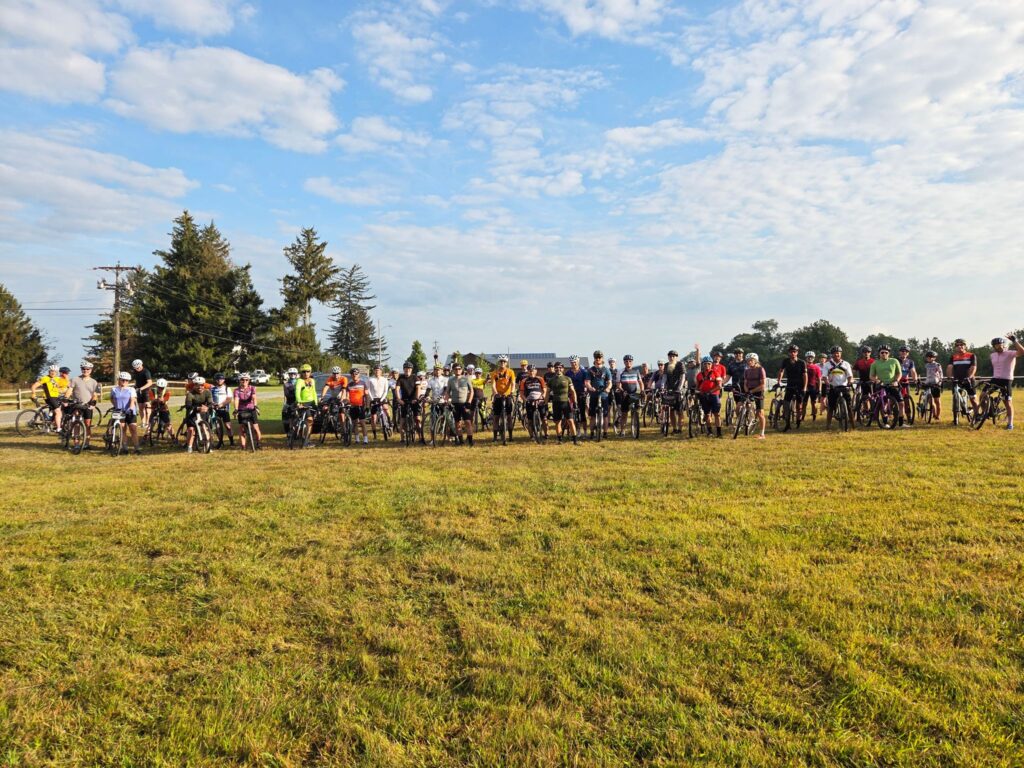
On Saturday, Sept 25 a small group of riders left Cold Spring, NY to traverse the dirt and gravel roads around Fahnestock State Park and Garrison. Our route included virtually all of the true gravel roads in the region, which also meant tackling many of the longest and steepest climbs. Our route did not include the rough trails in the center of Fahnestock, which are more suitable to a mountain bike.

Overall, it was a beautiful ride. The weather was perfect, we spent much of the day traveling through forests, past ponds and streams, and through occasional farm country. We had lunch and replenished snacks and fluids at Boyd’s Corner Store/Deli at mile 30. After surviving all the climbs, we had a cold beer at Barber and Brew in Cold Spring. They had a few outside stools and no haircut is required to enjoy a good microbrew.

Notes about road conditions:
1) Expect some very steep grades (>20%) on some of the climbs and descents.
2) There were some very rough sections on those steep downhills (e.g. bad washboard), so keep your speed in check. One rider went down, but is okay.
3) Sunken Mine and Indian Brook roads: the gullies across the road were deeper and more numerous than I remember them in the past. Keep your eyes on the road ahead.
4) If you are looking for a still-challenging, but less intense version of this route, see here: ridewithgps.com/routes/37003811 . The alternative route has less gravel/dirt (sorry!), but adds a potential stop in pleasant Carmel Hamlet and skips some of the more ridiculous hills.

ROUTE (~64 miles with ~7000’ of climbing) :
https://ridewithgps.com/routes/37593227

ALTERNATIVE ROUTE (a bit easier, but still plenty of climbing):
https://ridewithgps.com/routes/37003811

-Steve