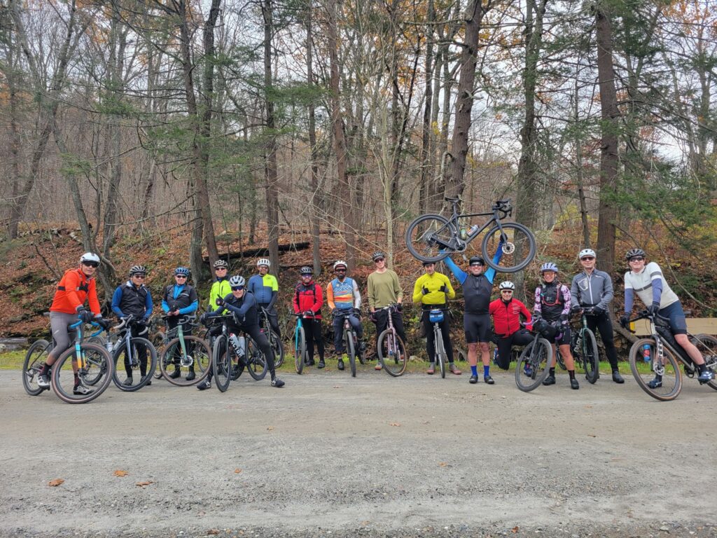
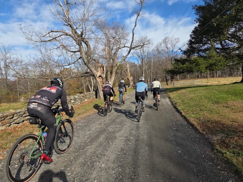
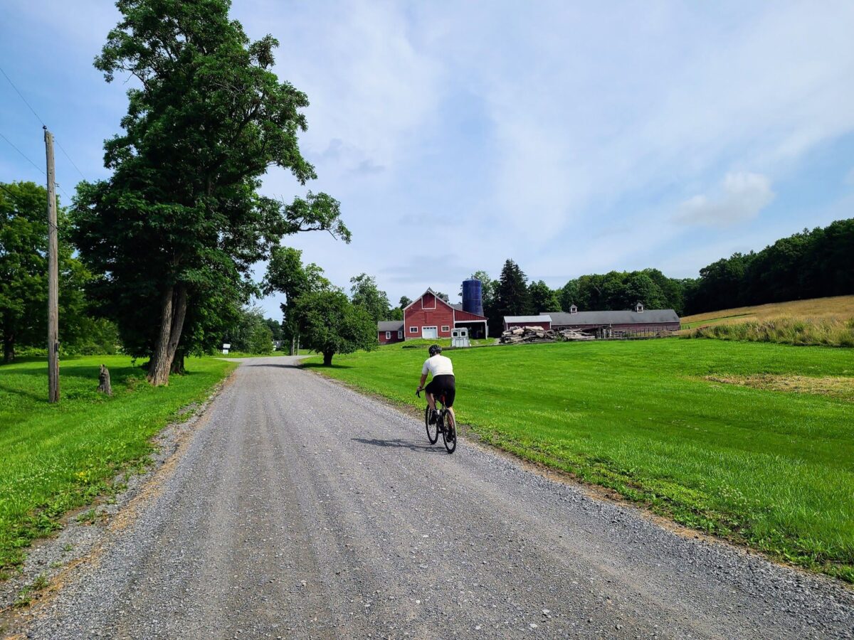
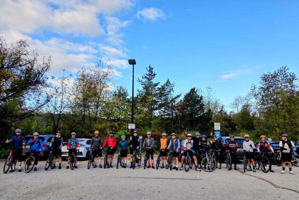
GrNY’s Spring Gravel Series Starting May 6

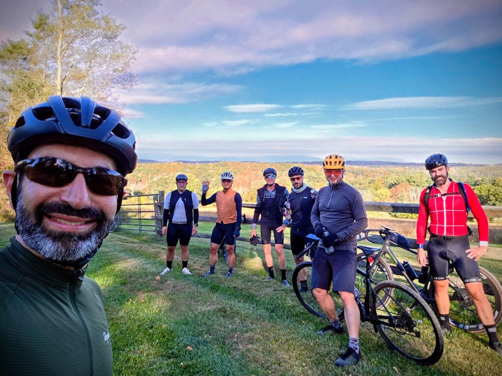
I’m happy to announce Gravel NY’s second annual Spring Gravel Series!  

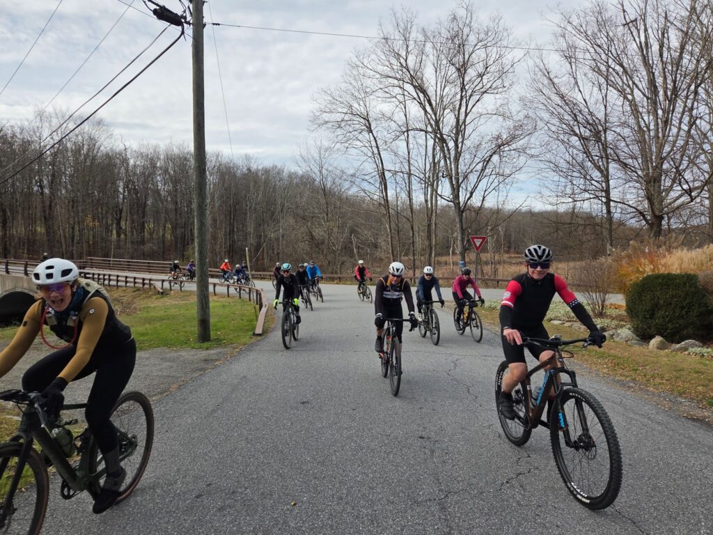
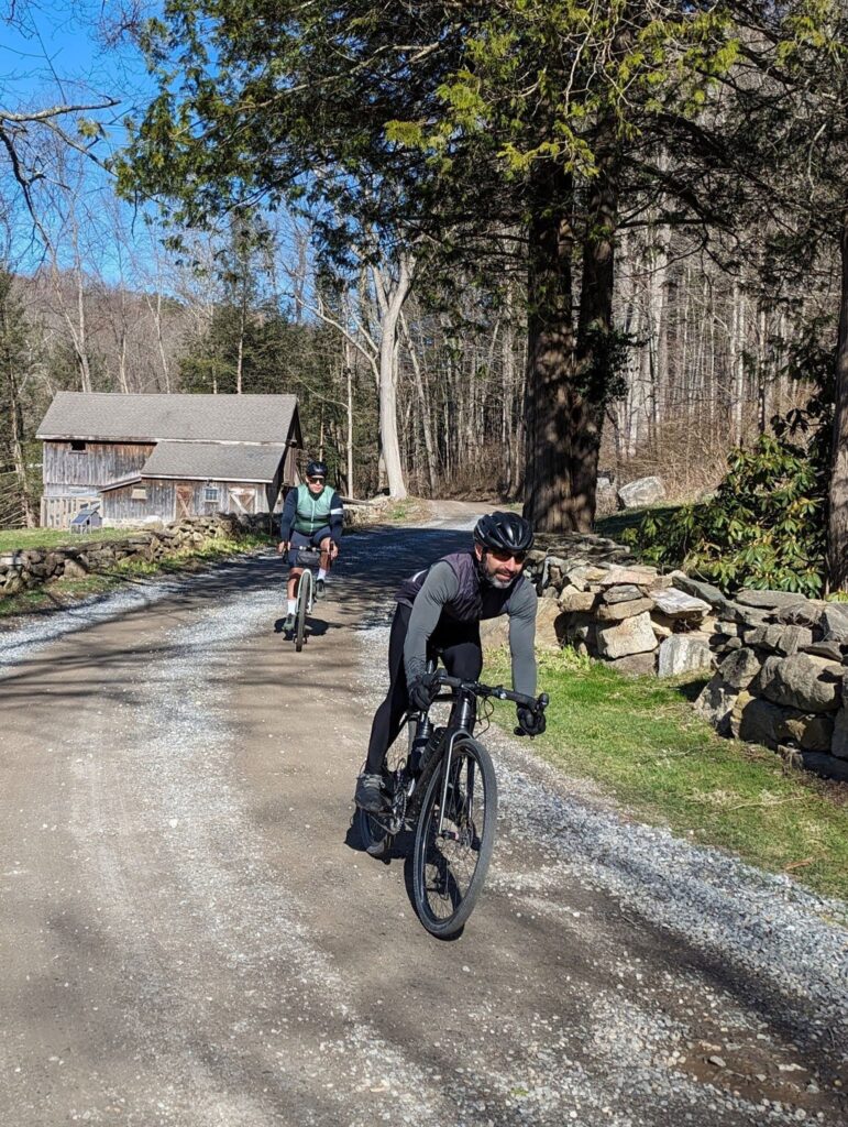
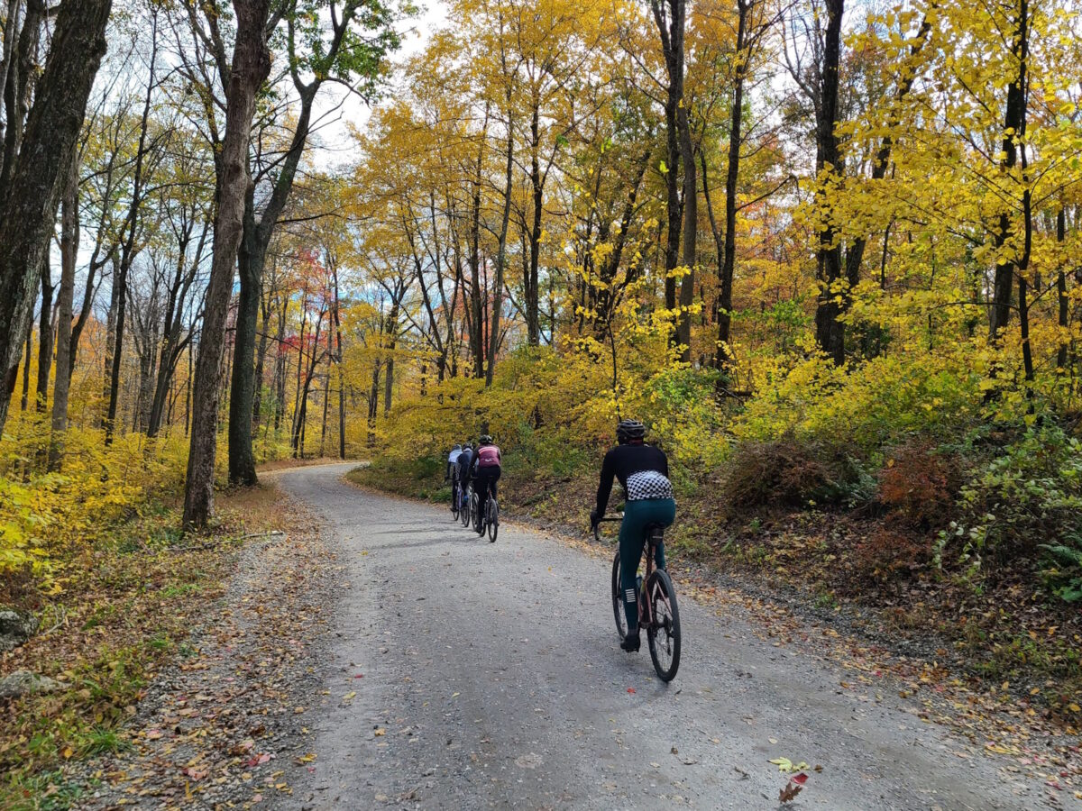
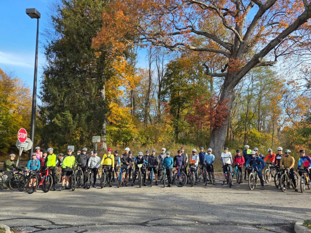
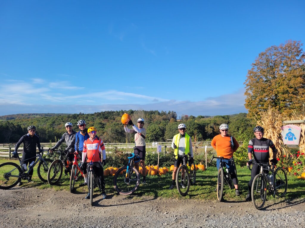
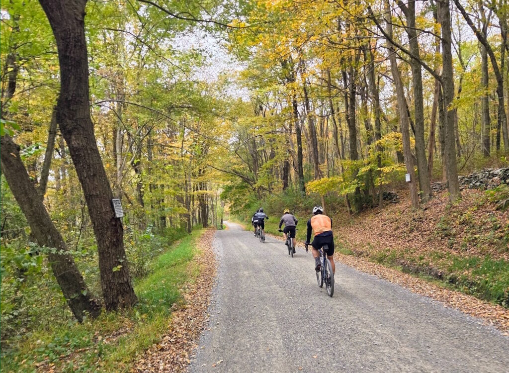
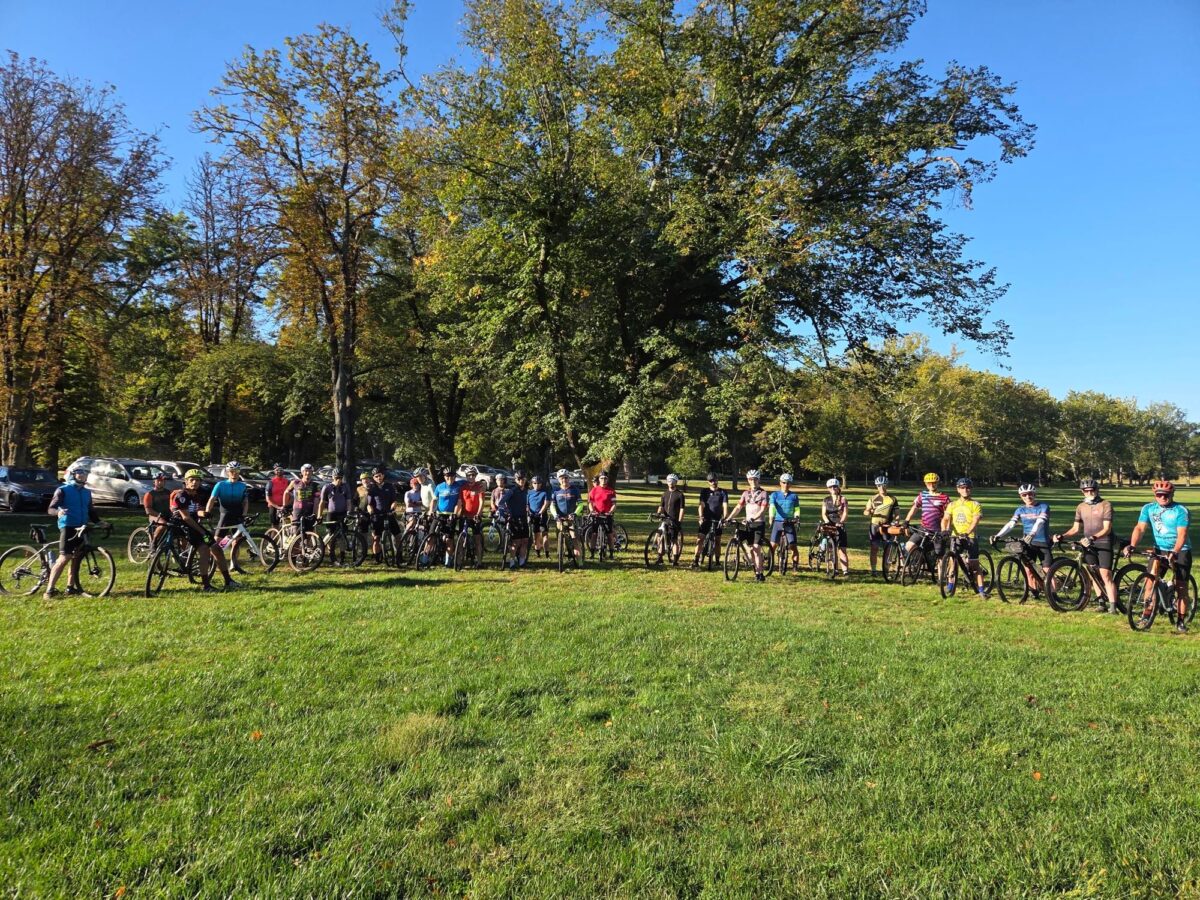
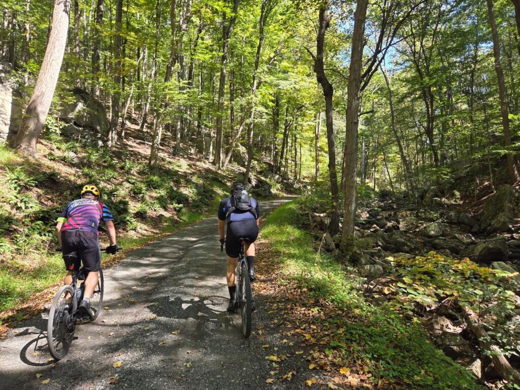
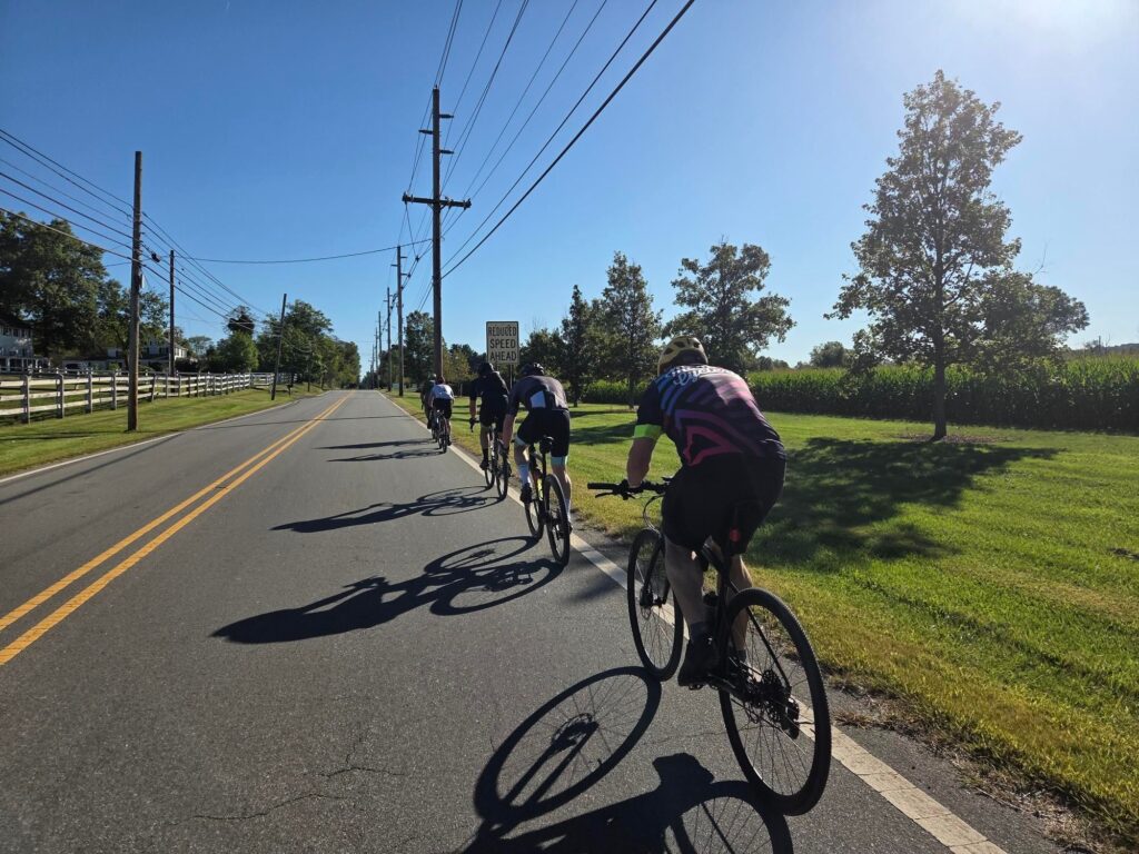
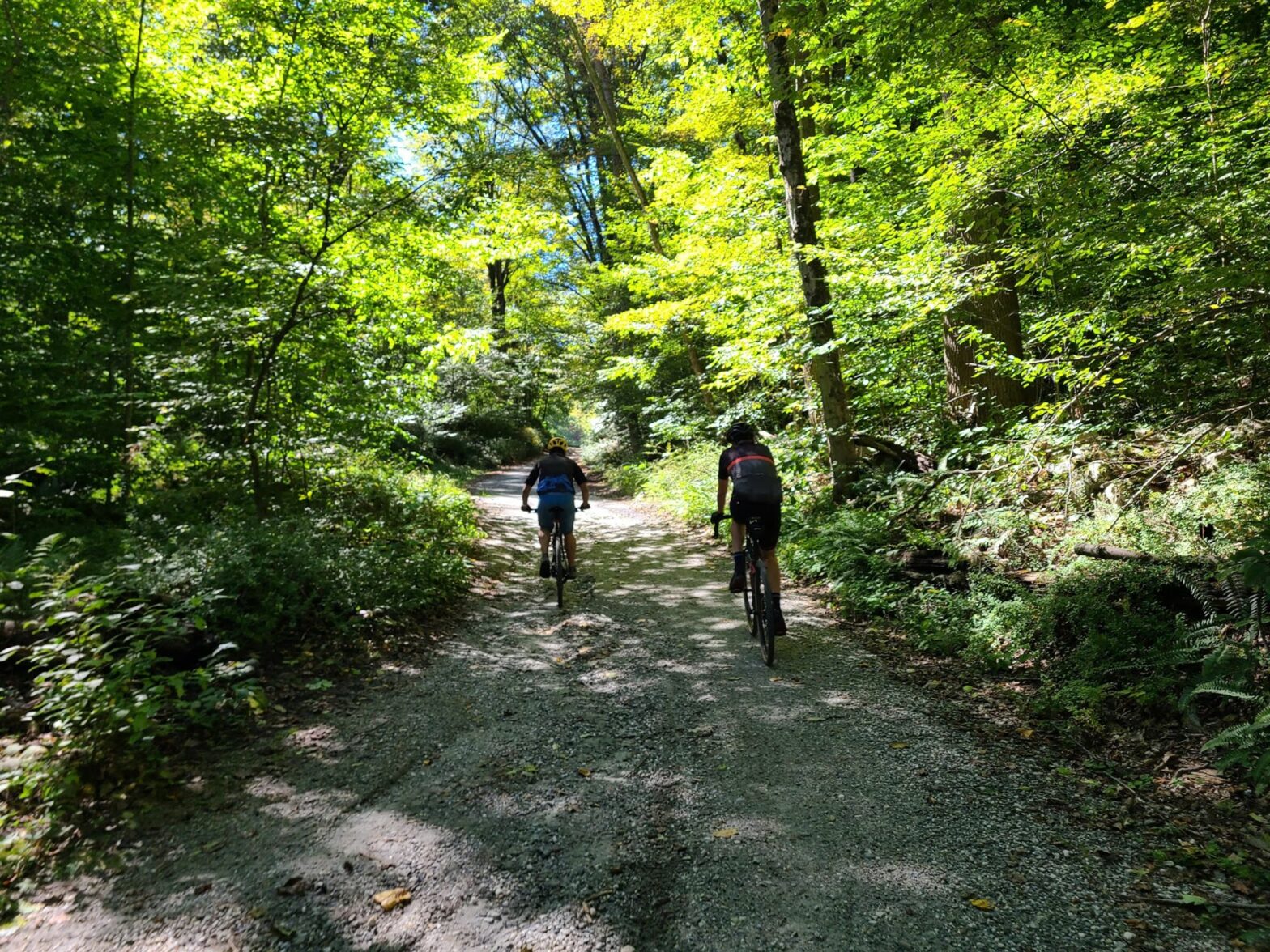
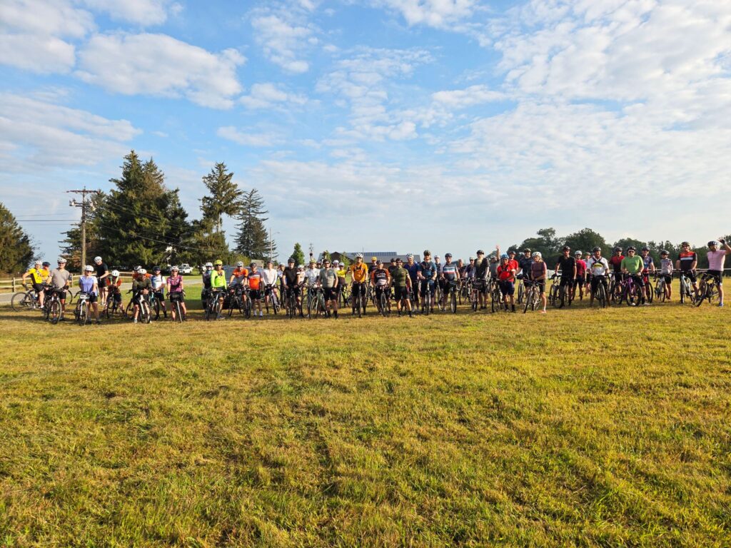
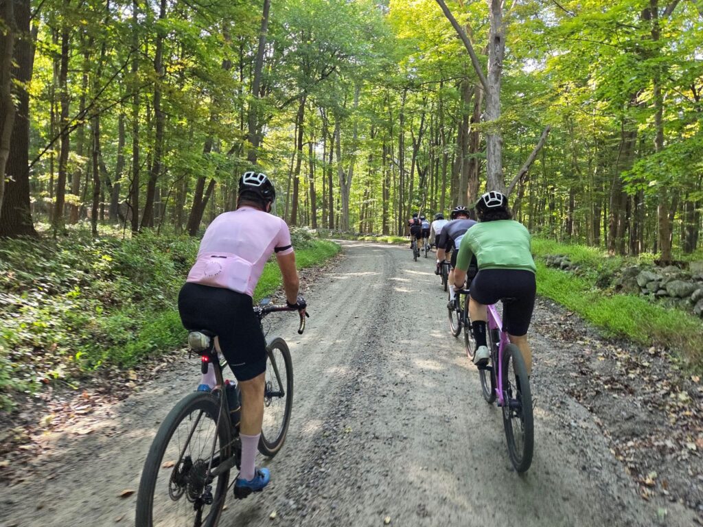
We have planned five weekends of gravel rides, starting on May 6!  Each ride will have two or three “pace groups”, which will differ in speed, distance, and intensity of climbing. There will be a common hangout location after each ride, so all groups can socialize over food and drinks. With luck, all groups will end around the same time. We hope you can join us! 

Actual routes and start times will be posted soon.  See “Pace Groups”, below, for a sense of expected distances, elevation gain, and speed of travel. 

Questions? You can email Steve at track.smart@gmail.com

Disclaimer: This is totally informal. You ride at your own risk and are responsible for your own safety.  You are expected to be self-sufficient. We cannot guarantee the condition or safety of roads and trails. Nor can we control the behavior of other riders. This is not a supported event.

SCHEDULE OF RIDES*

May 6: Katonah, NY. Ride some of the best and most scenic rural roads in Westchester County. Please RSVP via Strava: https://www.strava.com/clubs/513005/group_events/1366051

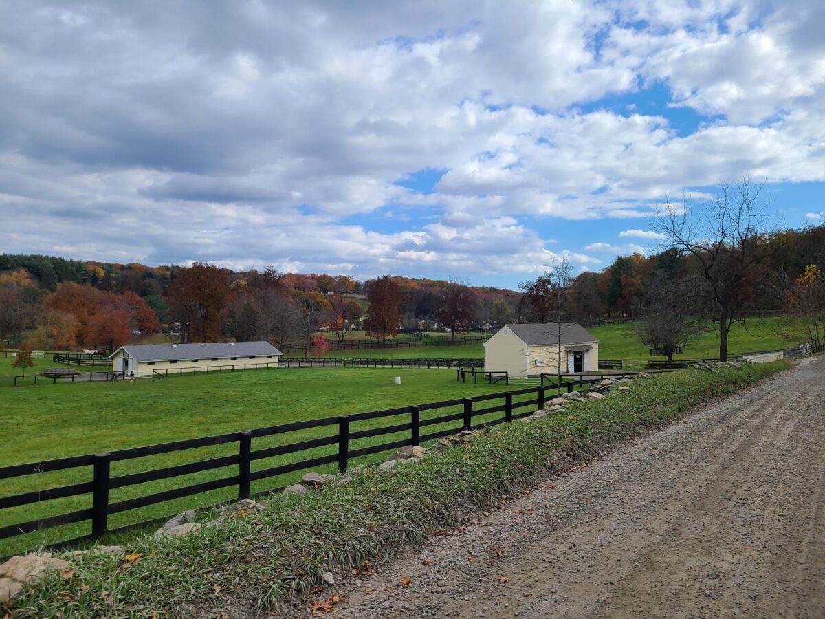
 May 13: Dover Plains, NY. The picturesque dirt-roads of Dutchess County. It is worth the drive or train ride! Please RSVP via Strava: https://www.strava.com/clubs/513005/group_events/1378216

May 21: Pawling, NY. Start in Pawling, NY, but spend much of the ride in gorgeous Litchfield County, CT. [This ride has moved to SUNDAY 5/21]  https://www.strava.com/clubs/513005/group_events/1388181

May 27: Cold Spring, NY. Much of the ride is near Fahnestock State Park, with lots of fun and challenging climbs. https://www.strava.com/clubs/513005/group_events/1393514

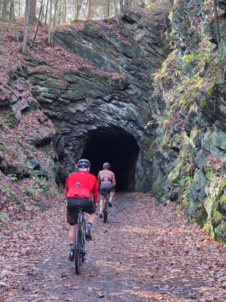
June 3: Gladstone, NJ (Natirar Park). Spectacular ride that goes through the Teetertown Ravine and Lockwood Gorge – worth the trip! https://www.strava.com/clubs/513005/group_events/1398444

* Rides are scheduled for Saturday mornings, but the default rain date will be Sunday of the same weekend. We will generally start each ride around 9am, with adjustments for train schedules. Ride schedule is subject to change due to weather or other factors.

PACE GROUPS

Long (60-65+ miles, faster speed, and killer climbs): These rides will be led by Steve. If you’ve ridden with him, then you understand the intensity of those rides. Pace expectation: 19-20mph (NYCC standards), ~17 mph (“Strava Speed” on relatively flat routes*). 

Medium (45-55 miles, moderate speed, skip some of the deadliest climbs): Kathy will lead these rides, which will still be challenging, but travel at a slower speed. Pace expectation: 16-17 mph (NYCC standards), 13-14 mph (“Strava Speed” on relatively flat routes*). 

Short (33-45 miles, no-drop): Available most weeks. This group will stop more often to rest, take photos, and enjoy the scenery, riding at a friendly, no-drop pace. No designated ride leader yet – please reach out if you’re willing to lead one of the rides. Pace expectation: ~14mph (NYCC standards), 11-12 mph (“Strava speed” on relatively flat routes*)

* “Strava Speed” = actual recorded average speed for long, solo paved rides on relatively flat terrain (i.e., not group rides with drafting).

EXAMPLE RIDES FOR EACH PACE GROUP

It is difficult to describe pace for rides that include dirt, pavement, and substantial climbing.  For those who have done some gravel riding, we hope these examples will help you select the right pace group.  You can compare them to your own rides over similar distances and elevation gains.

Long: 65 miles, ~14 MPH, >5500 ft climbing.

– Example: https://www.strava.com/activities/7143087392

Medium: 50 miles, ~12 MPH, >4000 ft climbing.

-Example: https://www.strava.com/activities/7143118855

Short: 37 miles, ~10 MPH, >3000 ft climbing 

-Example: https://www.strava.com/activities/7142906685

[These examples are from last year’s SGS ride from Katonah.]

RIDE ORGANIZATION

We will have at least one place to buy food and drink on each ride, but we are only doing grab-and-go during the ride itself (e.g., gatorade + portable snacks). 

Each group will have a few “wait for everyone” stops.  That said, the Long and Medium groups will not wait for riders who are considerably behind the pace (i.e. several minutes back).  The Shorter-distance group will be no-drop.

TWO REQUESTS

1) Please choose a ride group based on your riding speed, not distance.  We want the groups to finish around the same time, so we can all hang out post-ride. We understand you can go the longer distance, but it will be more fun if people ride together (rather than get dropped) and then hangout for food and drink after the ride.

2) Ride safely!  Please read our ride guidelines: https://grny.org/guidelines.  Key points:

– Control your speed when traveling downhill.  Racing downhill is how many serious injuries happen.  If you’d like to ride hard, save it for the climbs!  Then wait at the top.

– Being predictable to other riders and cars will keep everyone safer. Never pass a rider on the right.  If you want to pass, call out, and then pass on their left (like a car).

– You need some form of off-line navigation and should have a backup navigation plan.  Why? Many areas won’t have cell coverage.  And phone batteries can die during long rides. Examples of offline navigation:  Dedicated bike computer (Garmin, Wahoo, etc); Phone with paid subscription to Ride with GPS or Strava *and* remembering to download to route for offline usage before the ride; Paper map + cue sheets.

Unofficial Frozen Apple Ride + Bonus Dirt

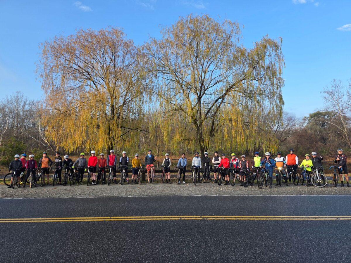
On Sunday, March 26 a dozen GrNY riders joined in the Unofficial Frozen Apple Ride (a completely informal group ride).  There were around 30+ riders at the start, so a big group.  The official Frozen Apple Ride was supposed to happen in March of 2022, but was cancelled due to COVID restrictions.  It was sponsored by the Westchester Cycle Club (WCC), Pedal Peekskill, and River Outpost Brewery.  Laura (of WCC) thought it would be fun to bring it back as an informal group ride, which was a great idea.

It was a lot of fun! It was great to meet a number of new riders and enjoy some dirt roads with good scenery and very few cars. Some of our faster riders did an extended route, so we would finish in a similar amount of time to other GrNY riders. Some of us gathered at the River Outpost Brewery for burgers and beer after the ride. That was a fun post-ride stop, though be forewarned that they were very busy on what was a beautiful, warm, sunny day. Getting beer from the bar wasn’t too hard, but ordering food was hit-or-miss (they closed the kitchen to new orders periodically to allow them to catch up).

The route is mostly on dirt roads and pavement. HOWEVER, expect a challenging forest trail around mile 18 (shown in blue). If you don’t feel comfortable riding all of it, walking won’t slow you down much. It’s an uphill grade, so nobody will be going particularly fast. It’s also a fairly short section.  Also: Sunken Mine Rd and the forest trail are not maintained in the winter and are snow-covered for much longer that you would expect in the winter and early spring!  One rider visited the route just a week earlier and found large sections covered in snow. Most riders parked at Lents Cover Park, which worked out well.

Main Route (42 miles, 4100ft):  https://ridewithgps.com/routes/42308101

Extended Route (48 miles, 4800ft): https://ridewithgps.com/routes/42308406

The extended route doesn’t add a lot of new roads.  It largely crosses over the original route.  It was created so that faster riders would end in a similar amount of time as slower-moving riders.  This worked out well.

OUR ACTUAL RIDE: https://www.strava.com/activities/8783273906

Beautiful riverside cruising on dirt roads.
Poster for the event that never happened (the 2020 Frozen Apple Ride)
Poster for the event that never happened (the 2020 Frozen Apple Ride).

New Year’s Gravel Ride in NJ

On Monday January 2, 2023 a half-dozen GrNY riders headed to Gladstone, NJ for a New Year’s Eve (observed) gravel ride.  It was an unseasonably warm January day.  The weather forecasters predicted that the foggy morning would be followed by sunshine, though the sun never quite materialized during our ride.  Still, we appreciated the relative warmth for this time of year!

Our group travelled at a sociable pace (with occasional harder efforts on the hills) for our approximately 54 mile ride with ~4500 ft of climbing.  Everyone was in good spirits and happy to be outside after a busy, and cold, holiday season.  Overall, this was a fun and relaxed ride over quiet dirt roads, past farm fields, forests, and some beautiful locations, including Teetertown Ravine and the Lockewood Gorge.  The gray, cloudy light in the photos doesn’t do these locations justice.

In terms of logistics, car drivers started in the picturesque Natirar Park, while train riders hopped off at Far Hills Station, just 2 miles away.

ROUTE LINK: https://ridewithgps.com/routes/36696613

OUR ACTUAL RIDE: https://www.strava.com/activities/8327653872

NOTES:

– Watch out for the crazy sharp *hairpin turn* on a steep downhill before the 26 mile mark! Take it slow! I added some custom cues to the route in Ride with GPS.

– The Lockewood Gorge part of the ride is beautiful, but… some sections are more hike-a-bike than rideable in recent times. Those sections are short.

– This route skips around the Columbia Trail multi-use path and uses scenic rural roads instead.  The trail is often muddy in the winter and for a few days after rainfall.  The dirt roads in the region fare much better after rain.  The trail also gets pretty busy on nicer days, with kids, dog walkers, and even groups of horseback riders.

Views of the rugged, but beautiful Teetertown Ravine Preserve.
Farms and forests along our route.
There were many farms and forests along our route.

Dirty Send-off Ride – Last Day of 2022 (RAD and GrNY)

On December 31, 2022 a group of RAD Cycling Collective and GrNY riders bid farewell to a good year of riding.  We started at Bedford Memorial Park in Westchester County, NY.  It was a cool and wet, but not-too-frigid winter day.  We didn’t see any sunshine, but we were treated to some dramatic foggy vistas.  This relatively short route (46.5 miles) has plenty of quiet dirt roads, about 1.5 miles of forest trails, and some generally quiet paved roads connecting everything together.  There’s a good bit of climbing, too.  Over 4000 ft according to my GPS.

Conditions were pretty good on the dirt road sections, despite a bit of earlier rain and folks made it back before the real rain started.  Thank you Brian from RAD Cycling Collective for organizing!  I was overdue for a good gravel ride.  And the ride lived up to its “dirty” billing! Especially on the trails!

ROUTE LINK: https://ridewithgps.com/routes/41679350

ACTUAL RIDE: https://www.strava.com/activities/8317524985

NOTES:

– We started at Bedford Village Memorial Park, but you could easily start this route from Golden’s Bridge if you are arriving by train.

– Sections of the Mountain Lake Park trails had some deep mud when we traversed them on Dec 31, 2022. This section of the route might be better enjoyed during the summer and during dry weather. Also expect that snow will be very slow to melt on those trails during the winter and early spring seasons.

There wasn't much of a view from the Cross River Dam on this foggy day.
There wasn’t much of a view from the Cross River Dam on this foggy day.
Mountain Lakes Park. View from a small foot bridge on one of the trails.

Post-Turkey Gravel Ride in Westchester, NY

Post-Turkey Gravel Ride in Westchester

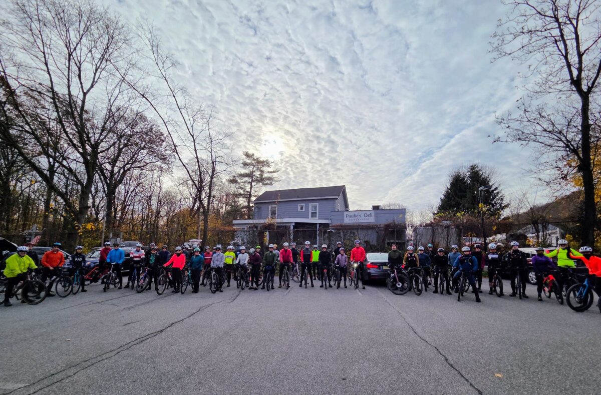
On November 26, a group of 20 riders descended upon Katonah, NY for an after-Thanksgiving gravel ride in Westchester, NY.  Riders tackled either a 66 mile route with well-over 6,000 ft of climbing or a 50 mile route with over 4,000 ft of climbing.  Both routes traverse some of the best dirt roads in Westchester County and include an always enjoyable (if a bit challenging) dirt climb through Mountain Lakes Park.  Both routes were exactly the same for the first 44 miles, which made it easy for folks to ride together, whether they chose the short or long routes.  I did my best to organize us into three pace groups, but I think the folks in the slower two groups were eager to ride hard and ended up chasing the fast-moving front pack of riders (inevitably splitting up into smaller groups as they dropped back).  Regardless, it seemed like everybody had a good time!  Some of us stayed after the ride for beer and food at Paulie’s Deli.  My thanks to all the GrNY and RAD Cycling Collective folks who came out on this day!  It was a great way to burn off some Thanksgiving calories.

ROUTE LINKS:

– 66 miles, ~6000 ft, https://ridewithgps.com/routes/39540733

– 50 miles, ~5000 ft, https://ridewithgps.com/routes/41450355

ACTUAL RIDE: https://www.strava.com/activities/8172624966

NOTES: In general, this route sticks to well-maintained dirt roads, with the exception of the climb through Mountain Lakes Park.  That park road is considerably rougher, but still isn’t particularly technical.  All of our riders did fine on 35mm or larger gravel bike tires.

One of Westchester County's many well-maintained dirt roads.
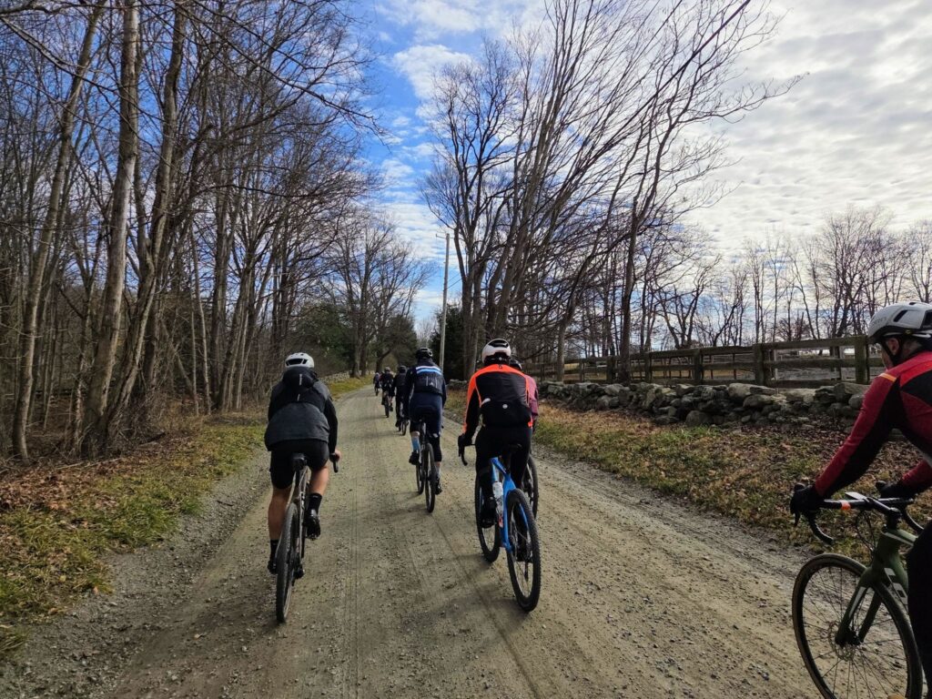
Riders enjoying one of Westchester County’s many well-maintained dirt roads.

Riders pausing to enjoy views from the Cross River Dam.

“Fall Back” Gravel Ride: Brewster > Wingdale > Wassaic

In addition to turning back the clocks, on November 6, 2022 a group of GrNY riders tackled a gravel ride of 79 miles and over 7,000 ft of climbing (or a truncated 65 mile version).  This ride offered a bit of redemption, because the previous time we did this route was in early March, when we encountered many miles of snow-covered back roads.  The ‘normal’ dirt roads were fine that previous day in March, but the closed-for-the-season dirt roads had not yet melted.  Live and learn! 

Overall, this was a fun day out and a great first GrNY ride since my (Steve’s) return from Colorado.  It was a beautiful route with a mix of rural dirt and paved roads. And it was such a wonderfully warm day. It was hard to believe it was November.  Some of us celebrated with beer and pizza after the ride and both tasted mighty fine after our efforts.

There were a few minor imperfections on the day, but they didn’t dampen our spirits (even if they did dampen the roads!). The weather turned a bit wet and misty during the second half of our ride, but on such a warm day it really wasn’t much of a bother. And the first part of our ride, Pugsley Rd, was in the process of being redeveloped so it was a sketchy trek through an in-progress construction zone.  Thankfully, there was no active work on this weekend morning.  Say farewell to the formerly- quiet, and formerly-dirt Pugsley Rd!  It will soon be paved and have a huge warehouse operation, a large recreation center, and lots of truck traffic.  You may need to choose an alternate route to start this ride if construction is still underway.

The top “loop” of this ride has much more gravel than the bottom loop, especially now that Pugsley Rd is no longer dirt. It might be time to develop a better route that no longer starts from Brewster.

ROUTES:

– Full, 79 mile version:  https://ridewithgps.com/routes/41370685

– Shortened 65 mile version: https://ridewithgps.com/routes/41370810

ACTUAL RIDE: https://www.strava.com/activities/8079592997

WARNING: After emerging from Penny Rd onto pavement you will encounter a crazy steep downhill. Go slow! One rider almost lost control. I guess I wasn’t clear enough when I tried to warn folks.

Note:  This version of the 79-mile route switches the direction of the “top loop”.  This is a change for the better.  First, it puts our lunch spot (Kent, CT) at mile 35.5, which is better timing.  Second, it allows for a  shortened 65-mile route that keeps everyone together until lunch time.  Third, it allows us to ride *up* Macedonia Brook State Park, which means you get more time to enjoy the lovely scenery, rather than bombing down it at high speed.

Tackling the climb inside West Mountain State Forest on the way to Penny Rd
Tackling the climb inside West Mountain State Forest on the way to Penny Rd. Penny Rd is definitely not a road anymore! It is a rough forest trail, but doesn’t last for long.
Foggy road through rolling farms and forests.

Riga, Sunset Rock, and the Berkshires

On June 24, 2022, a group of GrNY riders completed this epic ride to celebrate 2x Peter’s birthday (plus some extra miles to make it an even century). It was also a great sendoff before I head to Colorado for the rest of the summer. The upper ~65 miles come from Mark L’s excellent 2021 Riga route. I did an 80-mile version of this route last summer and knew that I needed to return!

Route Description:

Epic gravel ride that includes the climb up Mt Riga (~1250ft), the more challenging climb to Sunset Rock (~1050ft, but steeper), the flat (and beautiful) Housatonic River Road, and other premium stretches of gravel in the region. It includes the option to visit Bash Bish falls (just steps away from the route). Worth the drive!

I’ve pasted the RidewithGPS route below, which contains a detailed description and options for shorter 75- and 86-mile distances. The 75-mile route is probably the sweet spot as it includes both big climbs and the entire Berkshires part of the ride. The last 22 miles of the full route have some excellent dirt roads, too. We were originally going to start in Kent, CT, but moved the start location to Housatonic Meadows State Park Picnic Area to allow for some shorter “bailout” options (75 or 86 miles), in case anybody needed to get back earlier, or in case we ran out of steam. Thankfully we managed to keep the pedals turning for 100 miles and 9500 ft of climbing and had an awesome ride! We celebrated with some beer at the end.

ROUTE LINK:

SHORTER VERSIONS:

OUR ACTUAL RIDE:

Itinerary for our ride.

  • 19.5 mi: Optional water/gatorade stop at LaBonne’s Market in Salisbury
  • 34.5 mi: Required stop at Depot Deli for snacks/food/water. This will be needed after climbing Mt Riga and before climbing Sunset Rock (each 1250ft and 1050ft, respectively). Bathrooms available at Taconic State Park near the swimming area (across the street).
  • 49 mi: Lunch at the Marketplace Kitchen and Cafe in Sheffield (sandwiches, etc). They might not carry sports drinks, but we could backtrack 0.1 miles to the Mobile Station across the street if needed.
  • 65mi: Optional detour to Falls River Cafe.
  • 78mi: Required Stop at supermarket in Sharon, CT. Last reliable place to get food/drinks before end of ride.

Parking:

Housatonic Meadows Picnic Area has been a safe choice. They had decent porta-potties when we last visited (late June, 2022). There is no fee (just drive and park — no booth). Mark’s ride starts at Housatonic High School. I’m guessing that will work for weekends or summer, only.

Brewster to Central Dutchess Dirt

On June 18, 2022, GrNY riders started near Brewster, NY and headed northward across Putnam and then into Dutchess County, NY. It was absolutely perfect weather for riding! The high temperature was around 68 degrees with just enough cloud cover to make for dramatic photos, but there was no rain. A medium-speed group, led by Kathy, tackled 50 miles with 4800 ft of climbing. A faster group, led by Steve, rode 66 miles with 6000 ft of climbing.

Kathy’s ride: https://www.strava.com/activities/7330598829
Steve’s ride: https://www.strava.com/activities/7330581760

Overall, this was a beautiful mixed-surface ride with stretches of dirt road, rural paved roads, and some very short sections of rougher forest trail. There were great views throughout the ride. Both routes are highly recommended. Tires of 35mm width are plenty for most of the ride, but some folks probably appreciated wider tires for the short trail sections. Be forewarned that both routes had considerable climbing. For the medium group, the hardest climbs came in the first half (ideal). For the faster group, the climbs were more well-distributed, with one of the tougher climbs appearing 51 miles into the ride. That said, both groups had to climb back up Bullet Hole Rd near the end of the ride, which probably seemed like a bigger climb than it really was, given everyone’s tired legs.

The goal for both groups was to end at the same time, despite the different distances traveled. This almost worked, but not exactly! The *moving time* of both group leaders was within about 15 minutes of each other, which was well-planned. However, we “laggards” in the faster group took our lunch break during the ride, while the medium speed group only stopped briefly and ate more substantially at the end of the ride. Now I know why Kathy’s group got back so much quicker! The medium-speed group was happily enjoying cold drinks when we joined them at the post-ride meeting spot. We had some well-earned cold beers ourselves when we got there.

Things went well on both rides, with one minor exception. For the faster/longer distance group, I originally planned for us to filter water around mile 19 (to top off our water bottles), but with 25 riders signed-up by mid-week, that seemed like it might be too inefficient. Instead, I added some extra distance for a stop at the General Store near Bulls Bridge in South Kent, CT. Unfortunately, it was closed! We searched around and eventually made use of a convenient water tap at a nearby inn (they were nice about it). Note for future riders of the longer route: Bring plenty of food and water!

ROUTES:

Medium Speed (50 miles, >4500′):
https://ridewithgps.com/routes/32953734
Food and water stop at mile 26 (Cousin’s Deli, Pizza, and Bakery)
A second food/water stop possible at mile 42 (Squaro’s Town Square Pizza).

Faster Speed (65 miles, >5000′):
https://ridewithgps.com/routes/39539451
Bring plenty of water and food! The first reliable stop is around mile 47 (gas stations with Cumberland Farms / Dunkin) or mile 50 (good pizza by the slice + deli). Alternatively, future riders could detour to Wingdale around mile 24, which adds a few extra miles, but has more reliable

NOTE FOR THE FUTURE: Almost immediately across the street from the Park & Ride (i.e. starting location) is Pugsley Rd, which is currently rural and dirt. HOWEVER, all of the trees have been cleared for the first 1/2 mile and the entire area is slated for a huge warehouse and distribution center. It sounds like Pugsley Rd will soon be a busy, paved trucking road and the current intersection will be widened to 4 lanes with turn signals. There will also be a huge sports complex on some of the land they are clearing. Hundreds of trucks per day will flow through that area (distribution center) plus hundreds of cars on weekends (sports complex). I’ll miss this peaceful rural road that somehow began right from the heart of concrete and sprawl. Enjoy it while it lasts!

Pugsley Rd
Pugsley Rd (enjoy it before they pave it!)
Quaker Lake
Quaker Lake (near Pawling Nature Preserve)
Quaker Lake
Quaker Lake
Rural roads near Tenmile River Preserve
Taking a breather in Tymor Park
Taking a breather in Tymor Park, which has some fun dirt trails.

Brewster to Wassaic Gravel Ride

For those who missed it, here’s a quick recap of this past Saturday’s GrNY ride.

TLDR version: I promised adventure on this GrNY ride and (unintentionally) ended up seriously over-delivering. Winter has not yet receded in Dutchess County. Overall we traversed…
– snow-free frozen dirt (good for riding)
– velcro-mud (energy sapping, but otherwise fine)
– soupy mud (rideable but messy)
– ice-covered forest trails (difficult even for walking),
– crusty frozen snow (upon which we did a substantial amount of snow biking).

My bike computer recorded 79 miles and 7000′ of climbing. That was one crazy ride, but a lot of fun. Thanks everyone who joined this not-yet-spring lunacy!

=========
MORE DETAIL: Going north of the city for a gravel ride was always going to be a risk this time of year — to the extent that I chose a 100% paved route as a backup plan. But despite the frozen crust of snow in the grass around our starting location, all of our riders decided to try the dirt route.

Things started off well in the chilly morning: Nicely frozen (and therefore solid) dirt roads for us to enjoy – all completely free of snow on the road portion. That said, the snow under the trees indicated that we would surely be hiking through the forest trail portion of our ride (at West Mountain Forest). And sure enough, even walking was a challenge on that section! It was a ~0.75 mile of “ice-hiking”.
Fortunately, we soon hit roads again on the other side.

After lunch at Cousins Bakery/Cafe/Deli/Pizzeria, we ventured further north and found our dirt roads getting softer with the warmth of the day. Totally rideable, but sometimes sticky (sapping ones energy) and occasionally pretty messy. We never hit truly awful peanut butter mud, so I’ll consider that a win on the mud front. But those closed-for-the-season dirt roads were an entirely different matter! Without car traffic, they were still covered in a crust of semi-frozen snow. I expected us to be walking, but after seeing Vasyl forge ahead on two wheels, the rest of us gave it a shot. Definitely challenging, but on the flat, we managed to roll (and skid) our way forward. We did this through several short sections of seasonal road and thought we had triumphed by the time we returned to the lower loop of our ride. But around mile 64 we hit an uphill surprise of more snow-covered roads. We weren’t going to be riding up that — we barely had traction on the flats! And it was getting late in the day, so limited daylight was a concern.

About half of our bunch took the most direct paved path back towards our start location (the shoulder of a busy Route 22). The other half (including yours truly) took a detour half-way down Route 22, then veered towards the paved Mayberry trail – and towards peaceful salvation. Or so we thought! We soon hit a stretch of unexpected icy-snow stretching into the distance on the bike trail. Wow, there was just no escaping the white stuff! Fortunately, after that longish stretch of snow-biking, the rest of the Mayberry trail was fine except for short bands of snow underneath underpasses. All riders made it back to the train or their cars and were only slightly the worse for wear. It was one crazy ride!

MAIN ROUTE (77.5 miles, ~7000’): https://ridewithgps.com/routes/36622714

Our actual ride: https://www.strava.com/activities/6779011361

Questions? post below or email: track.smart@gmail.com

Maybrook Trailway
Walking bikes on icy snow
Lifting bikes over a gate
The route

Celebrating a Year of Gravel Rides — and Happy Holidays!

Hi Folks,

I want to wish everyone in the GrNY group a happy holiday season! My personal end-of-year thoughts and observations are below.

A Year of Rides:
Since April of this year, GrNY has hosted at least 24 group rides. Probably more. That’s a lot of group rides! Particularly, given that two people account for most of the rides that are posted (i.e. Jay and I). The count increases if I include gravel rides where I invited members of GrNY via email or text, but didn’t post a Strava event. These gravel rides spanned a wide range of distances and elevations, from 35-40 miles on rolling terrain to a gravel century (100 miles) with over 10,000 feet of climbing. Looking through my Strava activities, I’ve personally done about 25 gravel rides this year, about half of those as group rides with GrNY.

The General Spirit of GrNY Rides:
GrNY rides are informal, there are no membership fees, and folks are welcome to show up on any kind of bike, in any kind of clothes. Stopping to enjoy the scenery, snap a photo, and/or refuel with a snack, is an expected part of the experience, rather than something that immediately gets you dropped from the rest of the ride. That’s not to say that you should ignore the expected ride speeds that get posted! Some of us like challenging rides, or riding hard, but we are out to enjoy the day, rather than to race or achieve particular speeds/times/power numbers. I want to thank Jay for starting GrNY. I’ve grown to appreciate what he was aiming for.

Do GrNY rides count as “Gravel Events”?
Some of you have told me you treat the longer rides that I post (e.g. 60 – 80+ miles with lots of climbing) as if they are gravel events, which I’ll take as a compliment! They are certainly fun adventures and the courses certainly rival many events in terms of challenge and scenic beauty. Unlike typical events, our rides aren’t declared months in advance and don’t run out of spaces within a few hours of posting. We expect riders to be self-sufficient on the road, rather than have aid stations. We certainly don’t have plans to charge money for rides, despite some of you joking that it would boost turnout by 100-fold — ha! And our rides are small with typically anywhere from two to just over a dozen riders (usually somewhere in between).

Whether these rides are true “gravel events” or not, I appreciate the folks who wake up early or travel some distance to join them!

Winter Rides?
I can’t speak for Jay and others, but I tend to ride year round. I’ll probably continue to post some rides in cold weather. That said, riding in cold weather on closed-for-the-season dirt roads, in areas without cell reception, requires being especially well-prepared. Please be sure that you are ready for winter conditions if you join these rides.

Thanks for a great year everyone! I look forward to riding with many of you in 2022.

Steve
Email: track.smart@gmail.com