This ride is over, but we’ve got two more scheduled: Nov 8 and Nov 15! Check them out on the group’s Strava page.
Ride Report for Pawling (AKA Kathy’s Birthday Ride): Great ride with a fantastic group! We had such perfect fall weather, traveled excellent dirt roads, and had a fun post-ride hangout at the pub (including lots of amazing baked goods courtesy of Kathy). Below this post, we’ve added a few photos. You can find Steve’s activity on Strava, here: https://www.strava.com/activities/16324750642
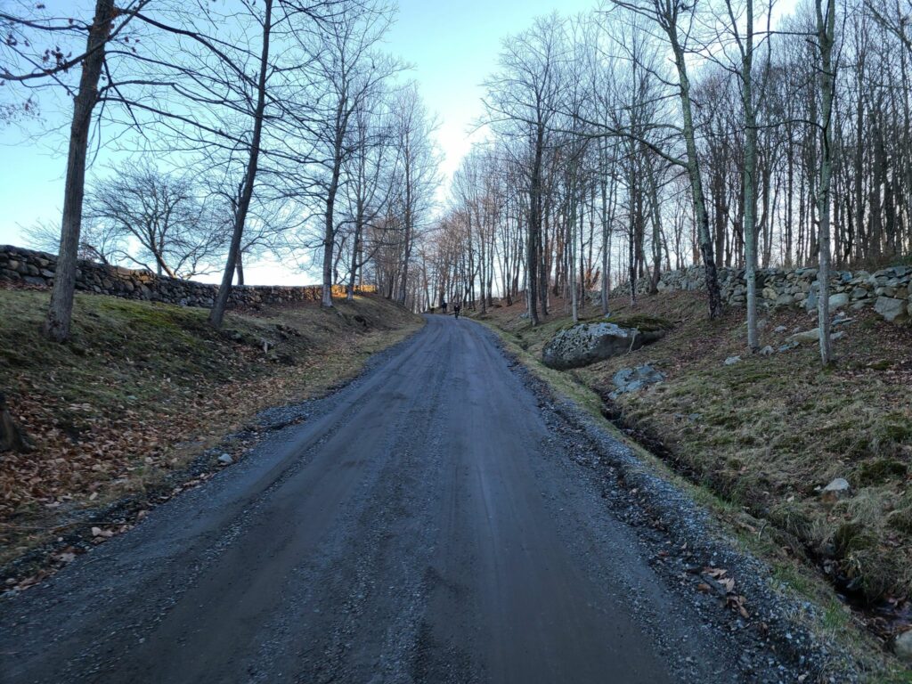
ORIGINAL POST: In honor of Kathy’s birthday, join us for a beautiful ride on the dirt roads and trails of Litchfield County, CT! We’ll be starting from Pawling, NY so folks can join us by train if they choose. This is always a great route.
RSVP Link on Strava: https://www.strava.com/clubs/513005/group_events/3414051696942464518
QUESTIONS? You can email Steve at track.smart@gmail.com, but be sure to read all of the information in the Strava post and the group information on the GrNY.org website first.
==
DISCLAIMER: This is totally informal. You ride at your own risk and are responsible for your own safety. You are expected to be self-sufficient. We cannot guarantee the condition or safety of roads and trails. Nor can we control the behavior of other riders. This is not a supported event. We expect everyone to be an experienced cyclist who can repair a flat, carry appropriate food and hydration, and navigate independently if they lose the group. We expect all riders to have signed the club’s waiver form before the ride. We also expect that all riders will abide by the group’s guidelines.
PHOTOS FROM THIS COMPLETED RIDE! What a great time!
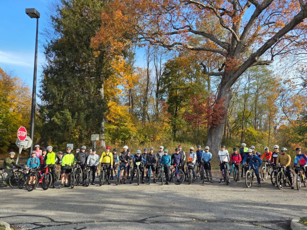
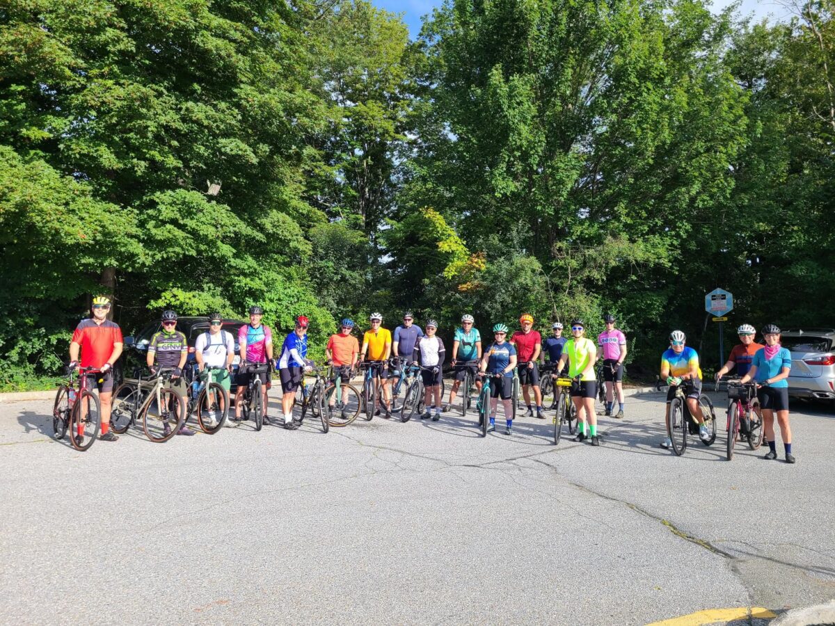
Group photo at the ride start (missing some riders as always!)
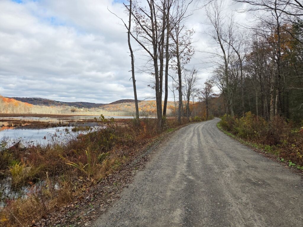
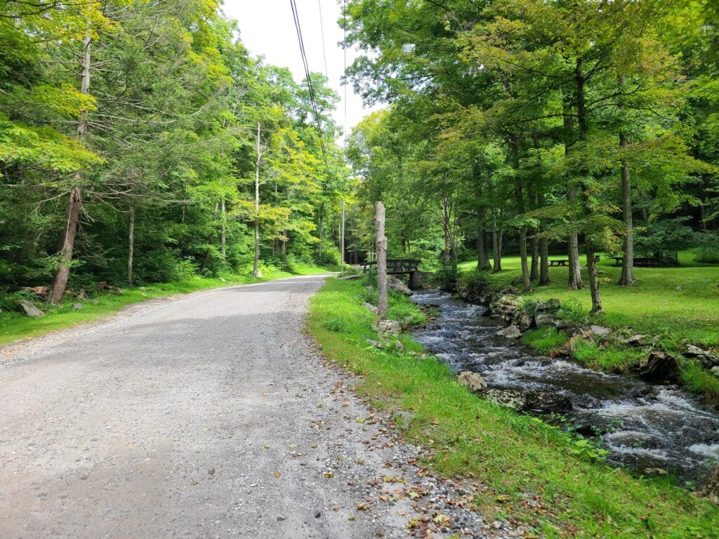
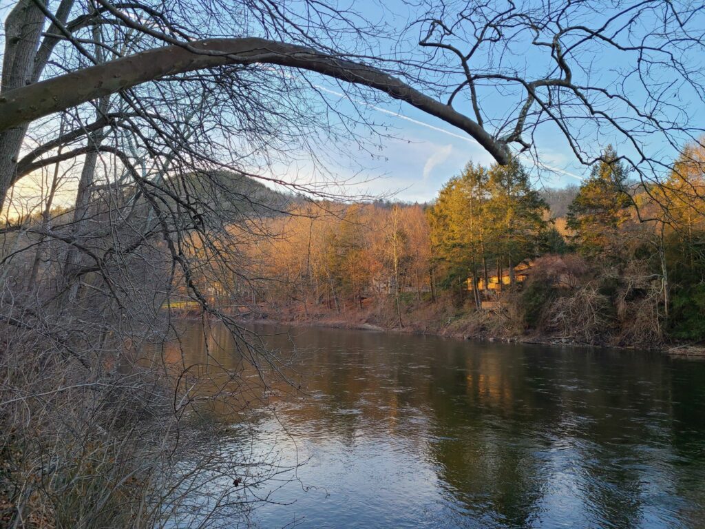
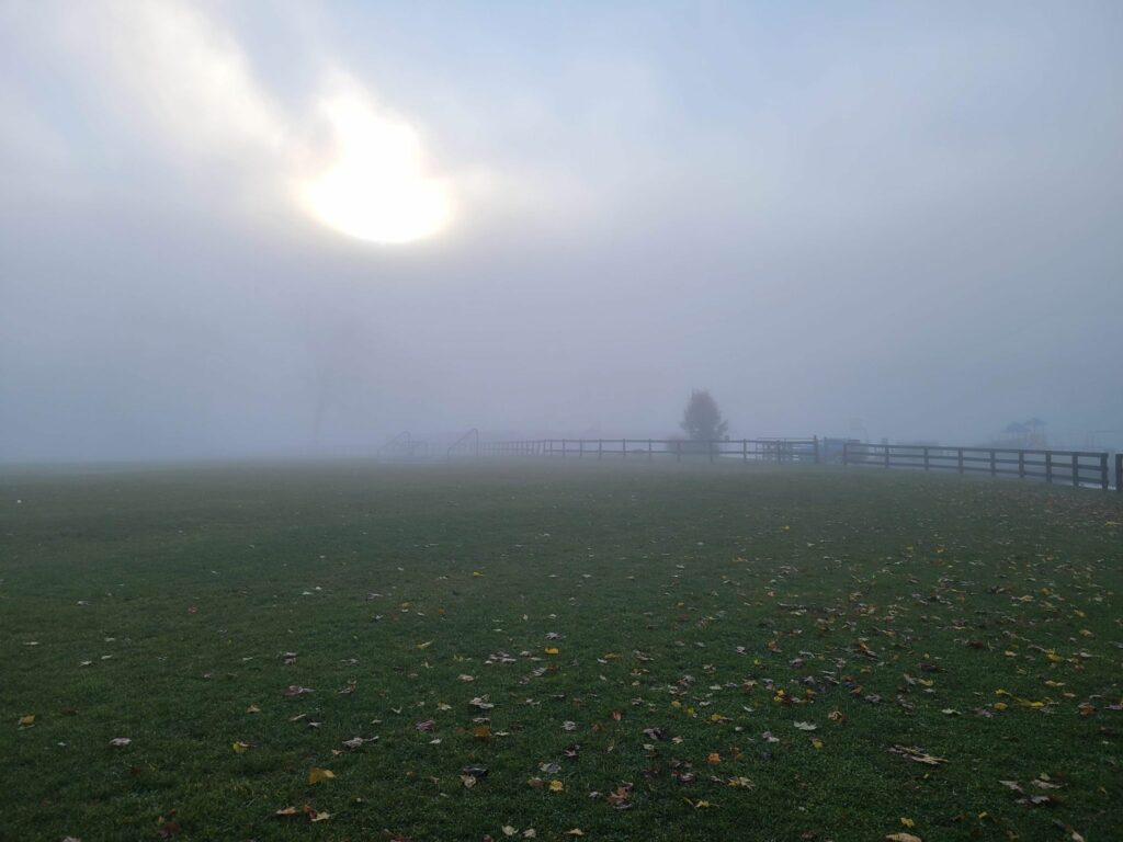
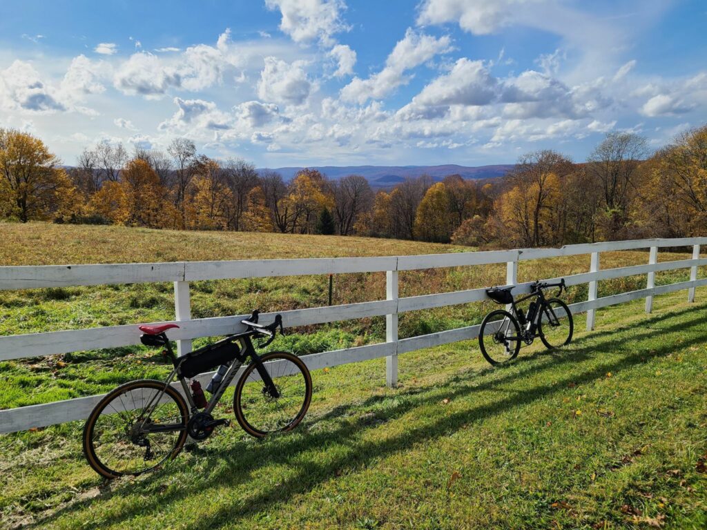
The view at Mud Pond.
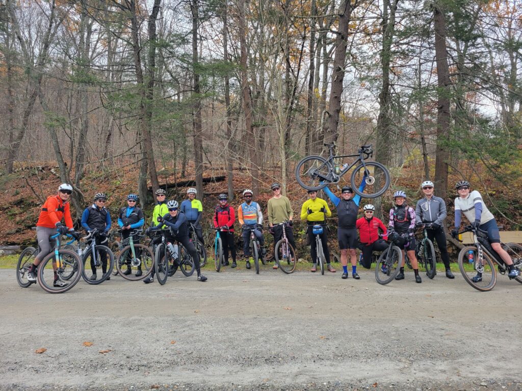
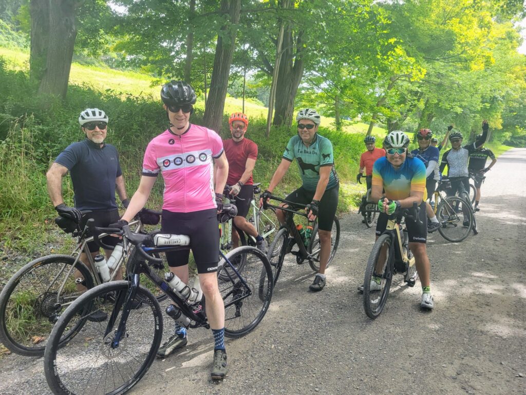
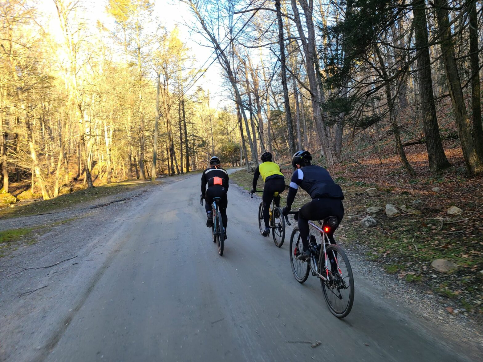
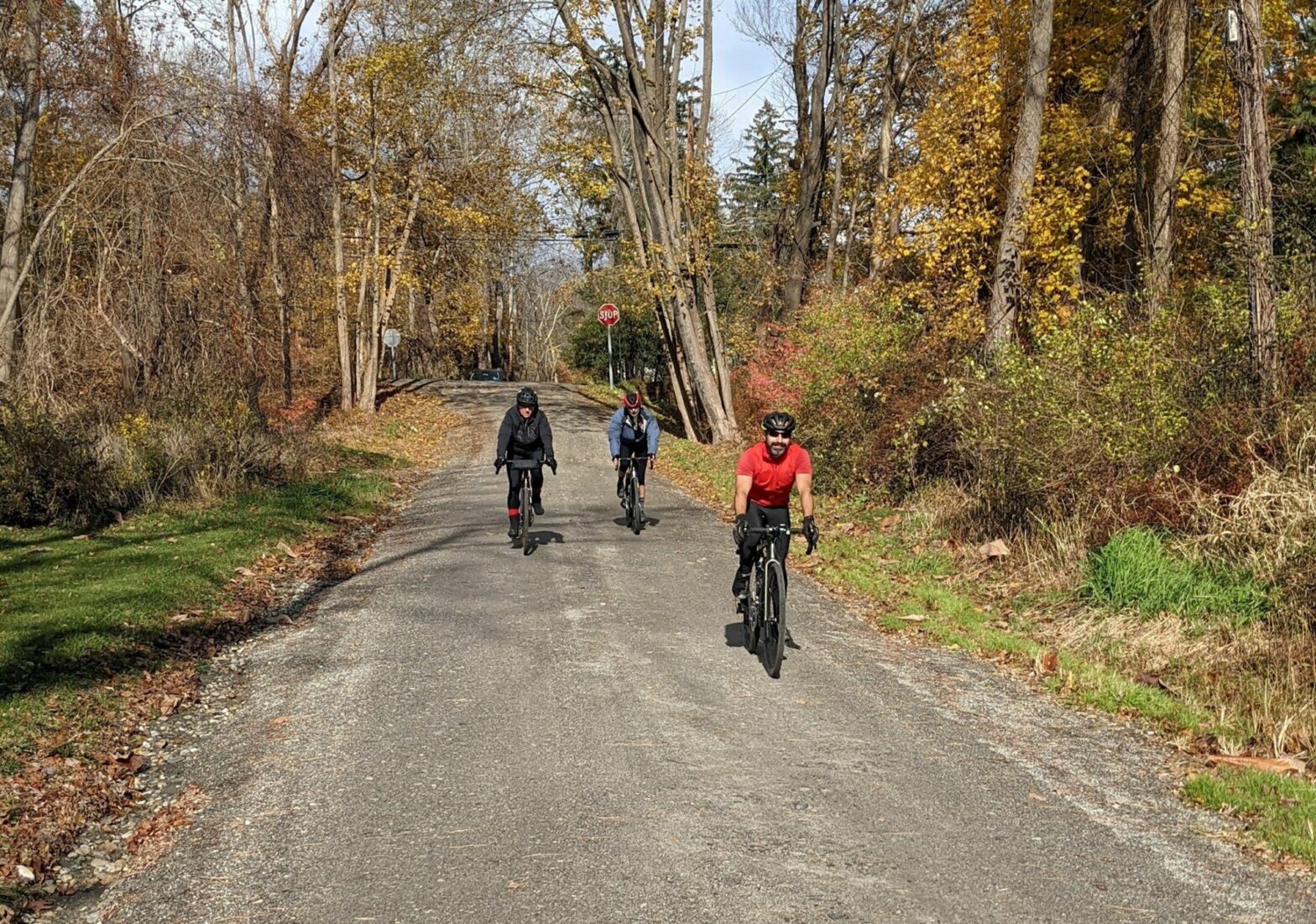
Part of the Medium Distance crew at a regrouping spot.
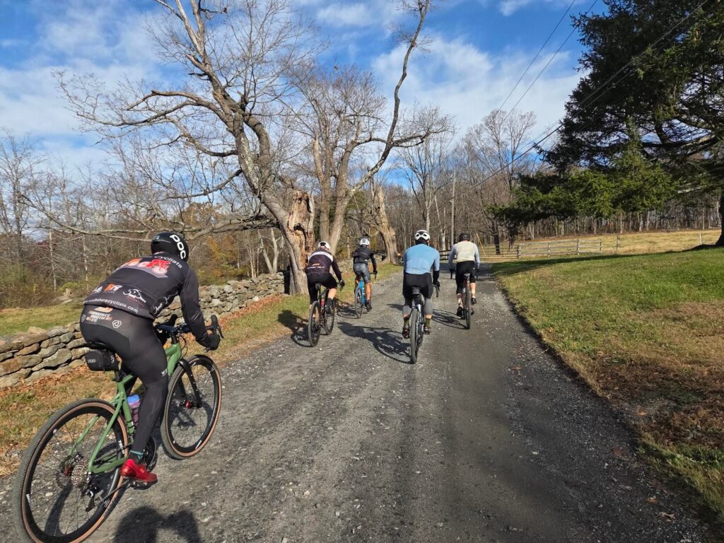
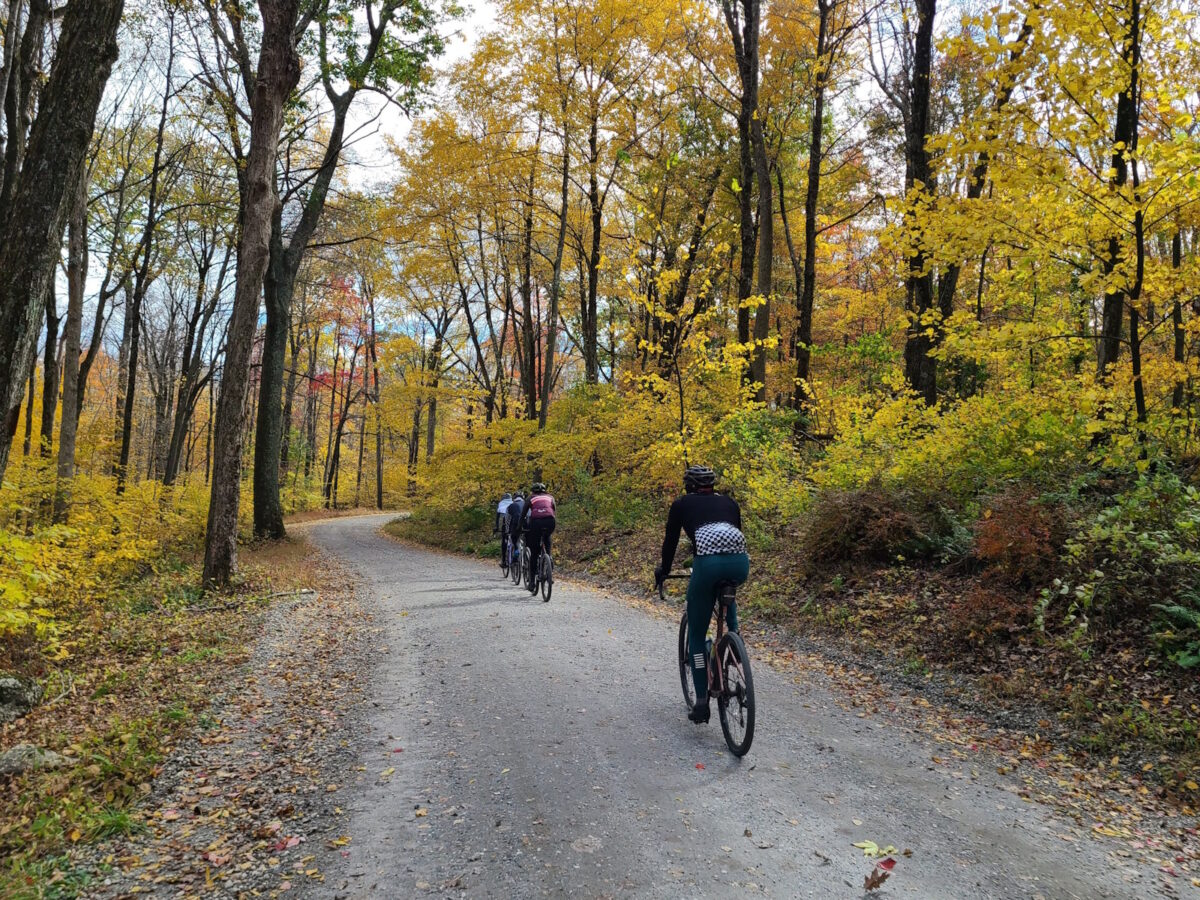
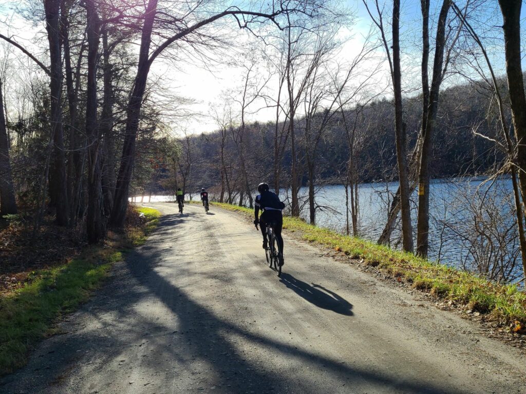
Some of the Long Distance group cruising the dirt roads of Litchfield County, CT.


