[This ride is over, but there will be more rides this fall!]
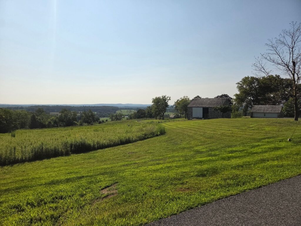
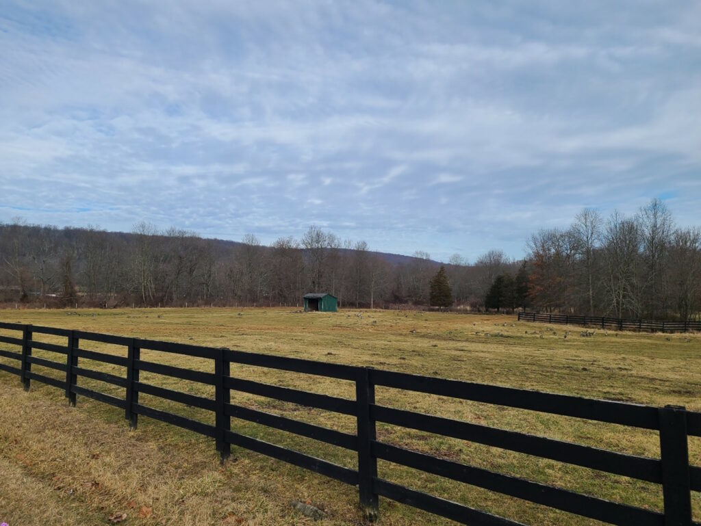
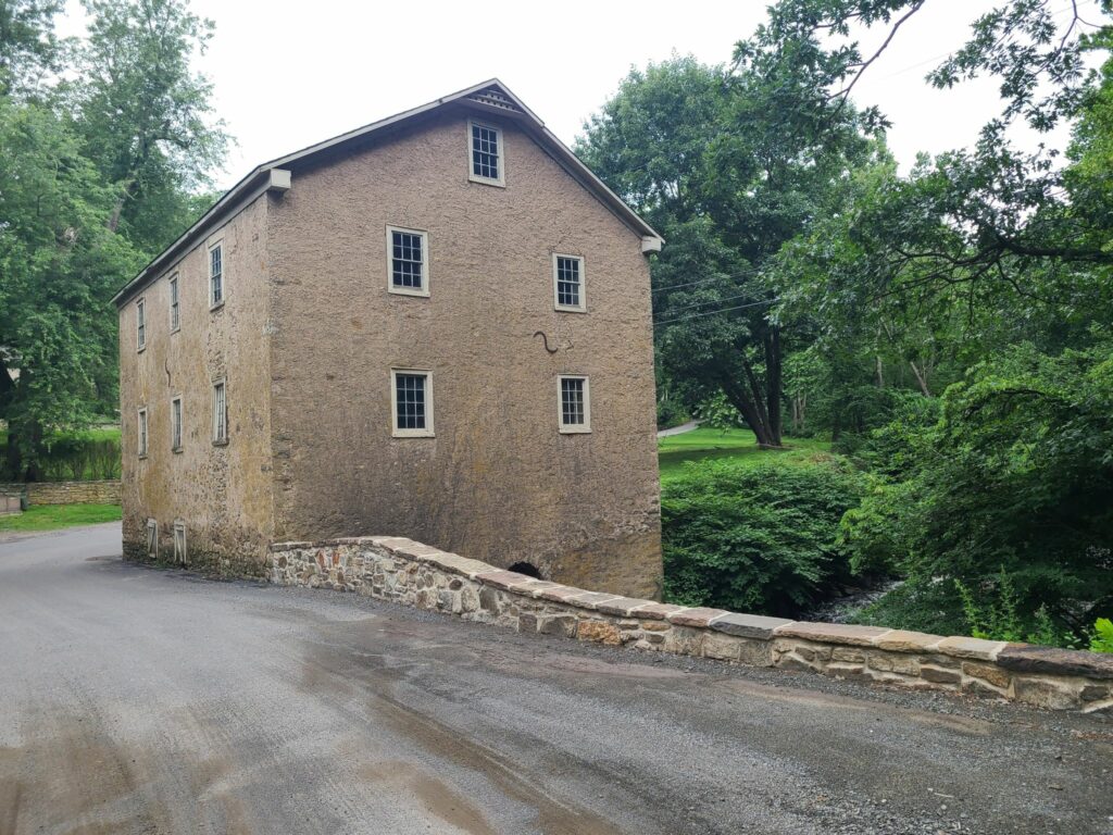
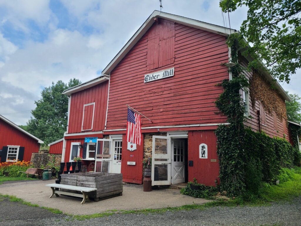
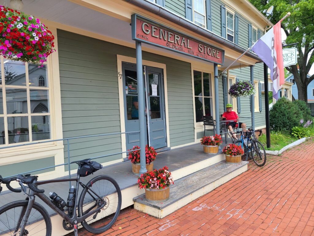
A return to NJ, but with fresh routes! This area of NJ has some of the nicest gravel riding in our region: Dirt roads through woods, forests, and along peaceful streams; Ridges and hills with beautiful pastoral views; Quaint small towns with General Stores. You’ll probably find at least one cooler in the woods with local maple syrup and an on-your-honor jar for depositing money.
Once again, we’ve got new routes for everyone. We still haven’t repeated a set of routes this season. Compared to our Spring Gravel Series routes in this area (3.5 months ago), we’ll have some new dirt roads, and for repeated roads, we will be traveling in the opposite direction – with the exception of the Teetertown Ravine – which is always better to climb than bomb down on a rigid bike.
RSVP Link: https://www.strava.com/clubs/513005/group_events/3402883109718443554
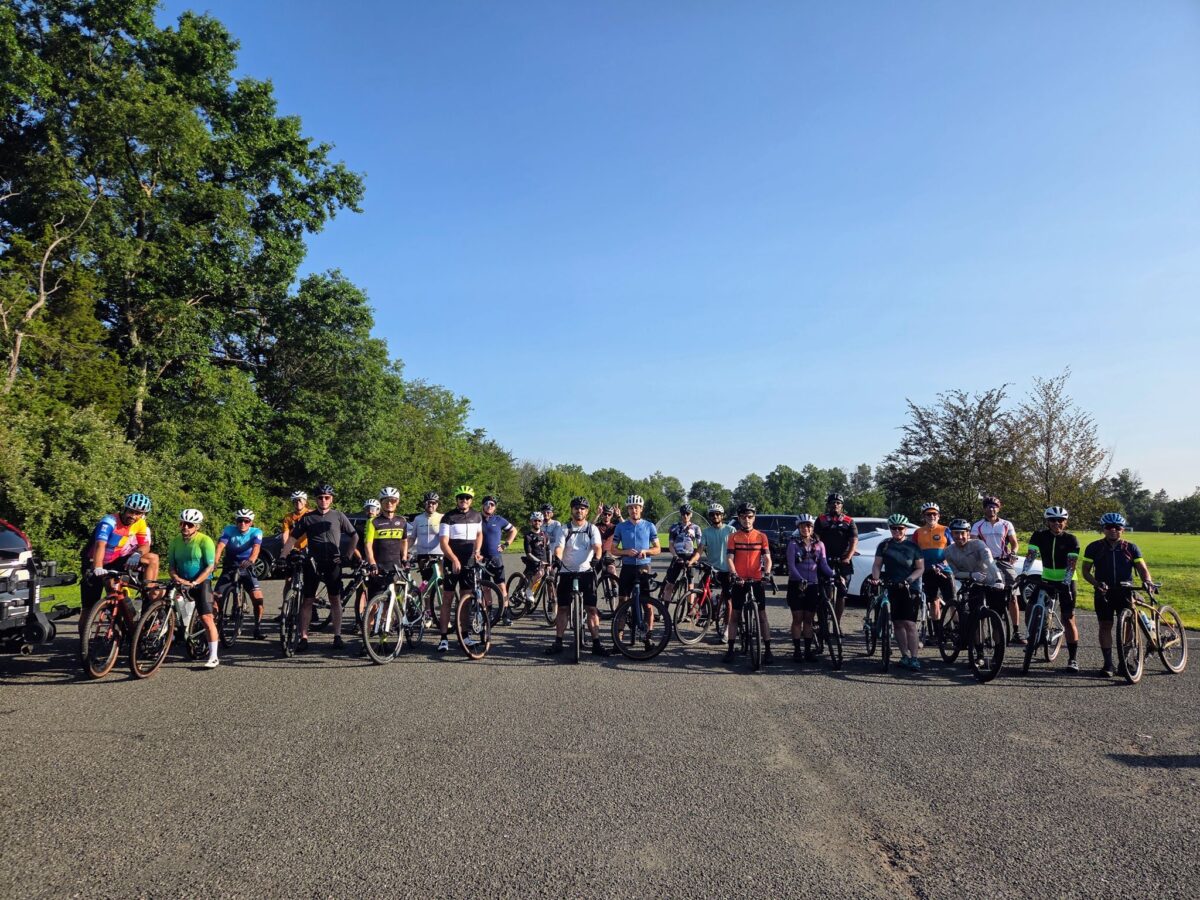
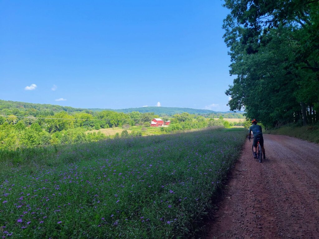
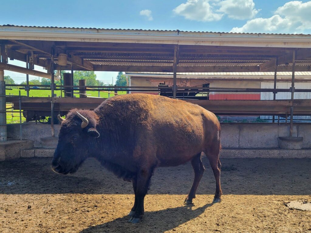
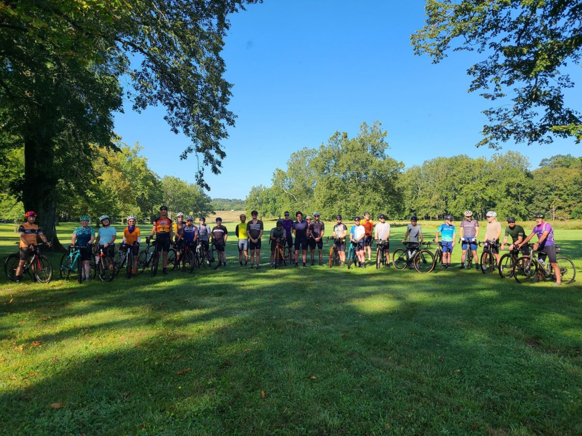
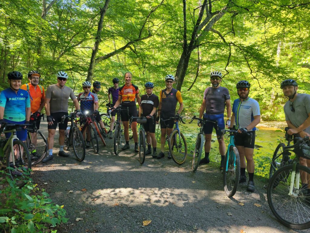
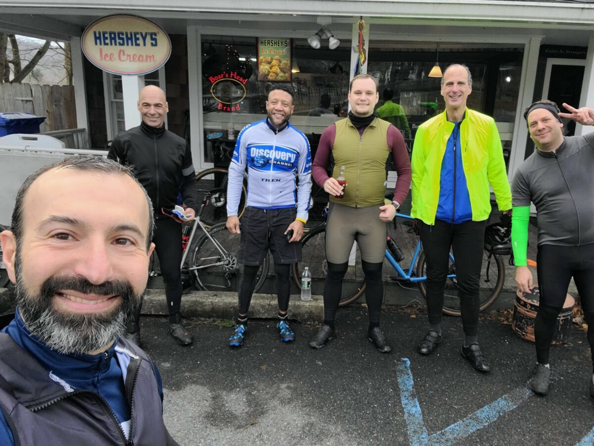
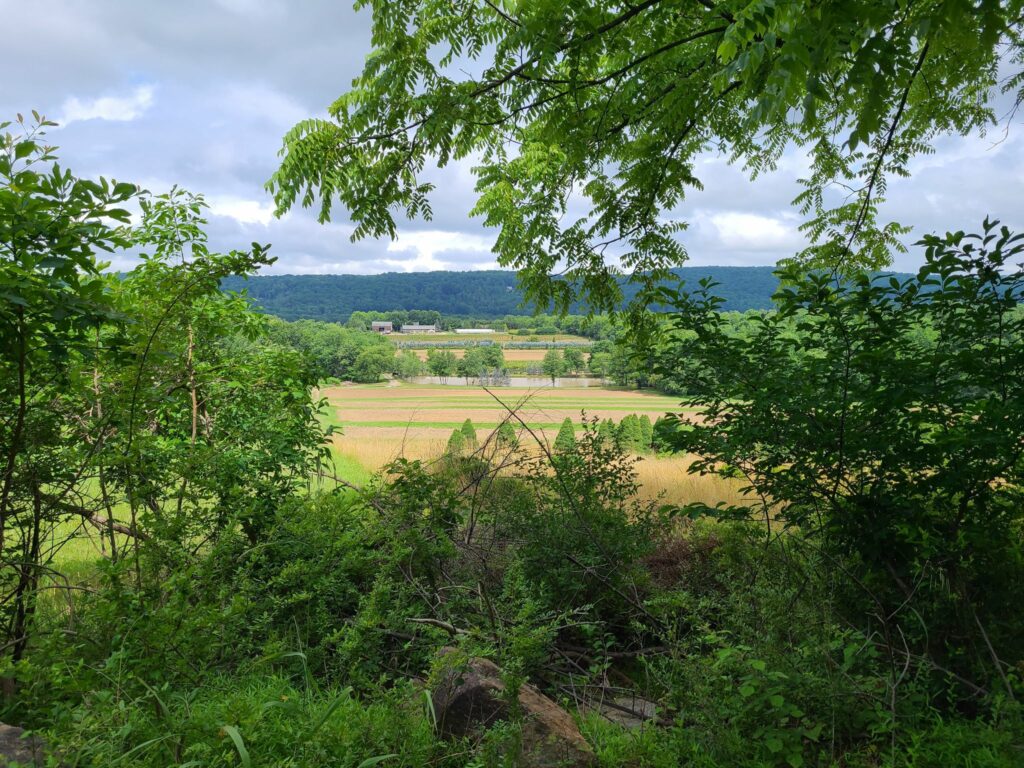
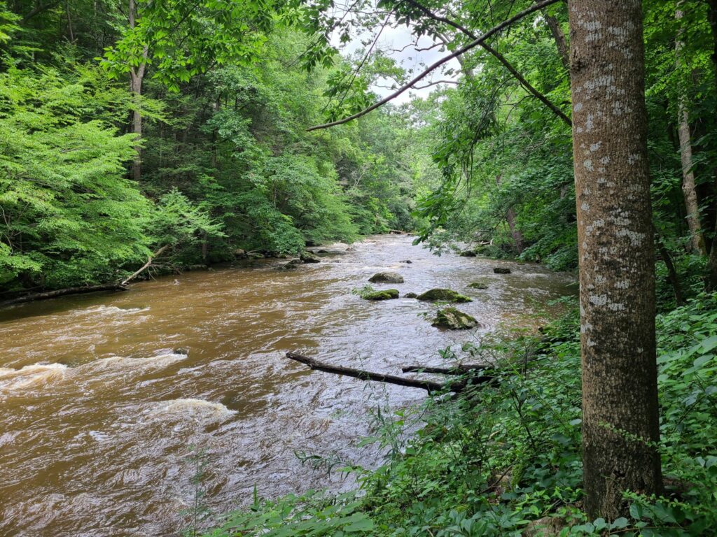
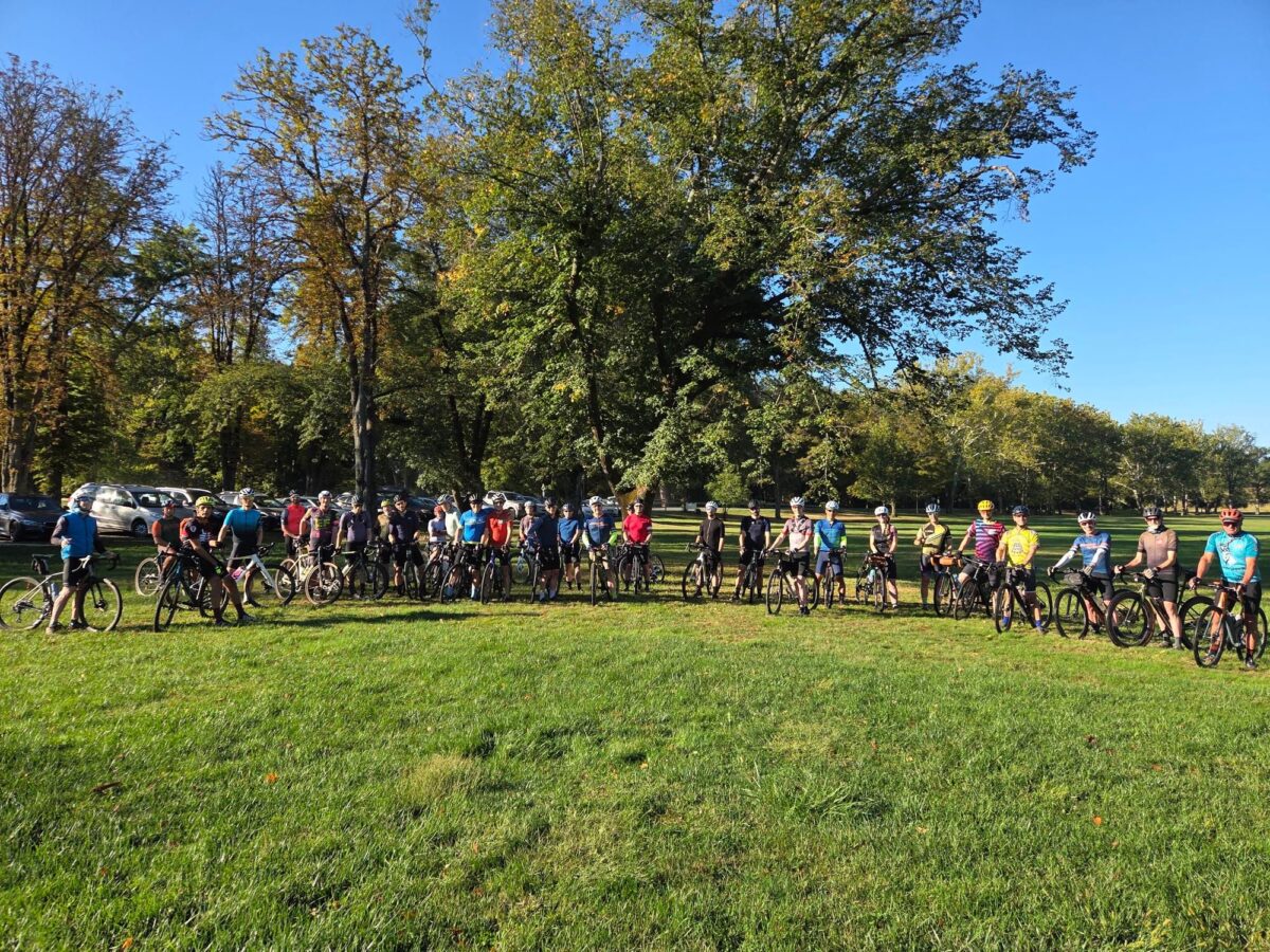
Post-ride wrap-up: We could not have asked for more perfect weather! We traveled through beautiful farms, forests, streams, and more. Lots of great people showed up to ride and made it a fun time. We had a well-attended picnic with snacks and cold drinks at the end. Thanks everyone for joining us!
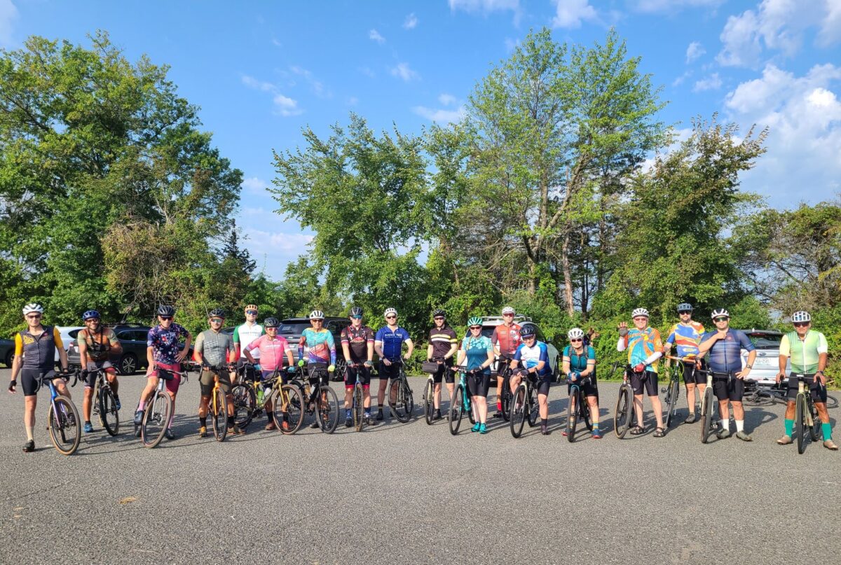
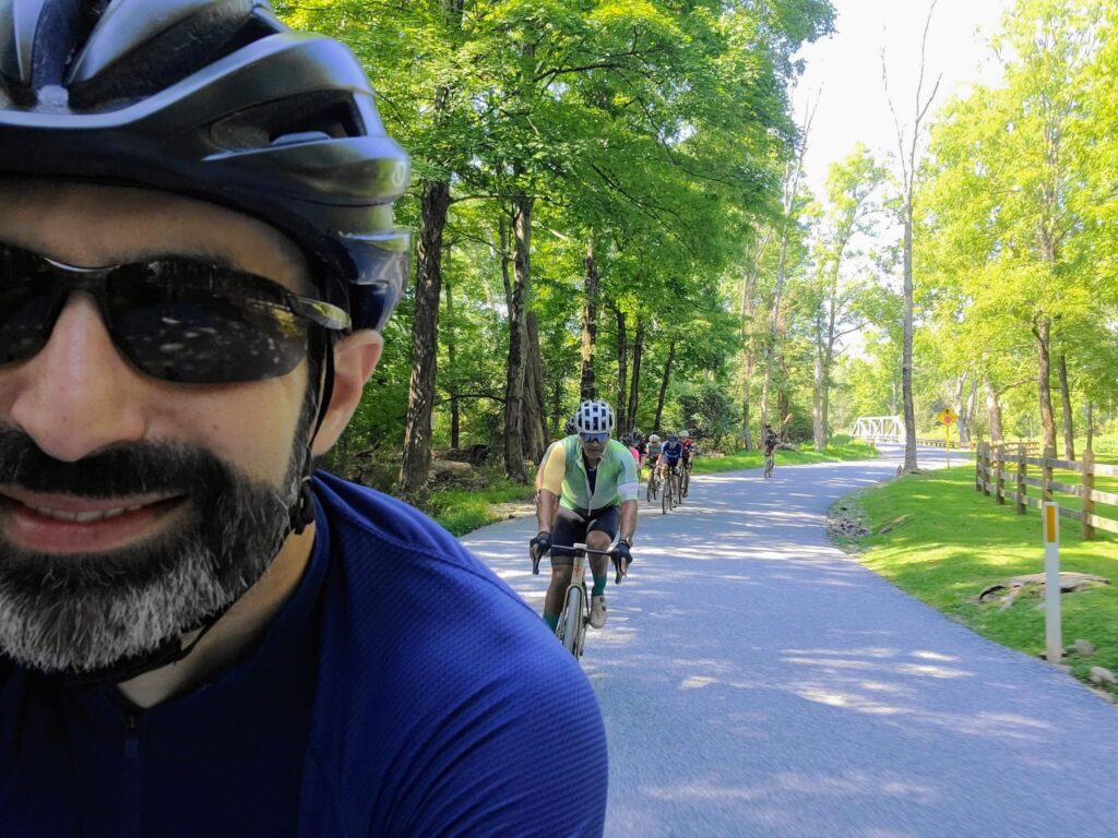
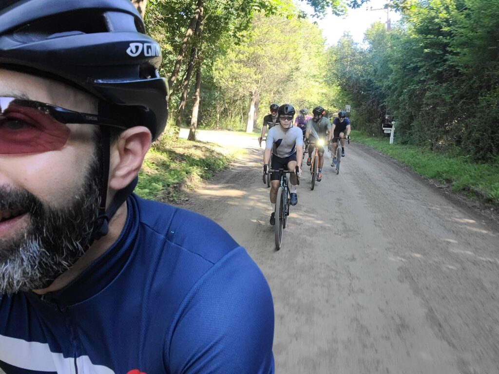
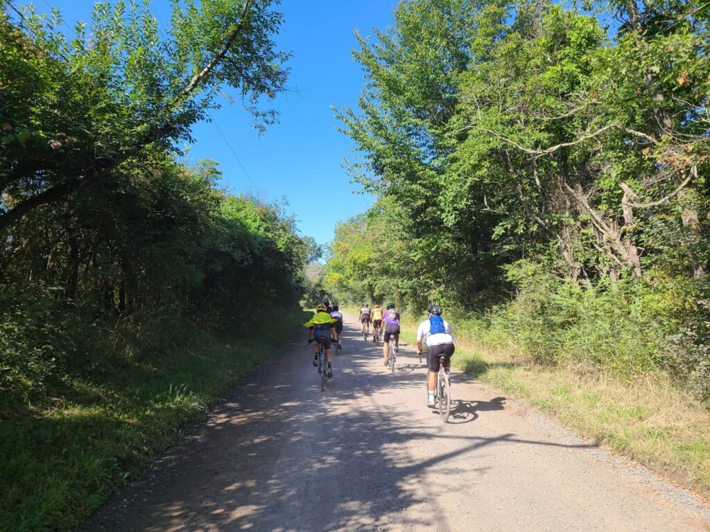
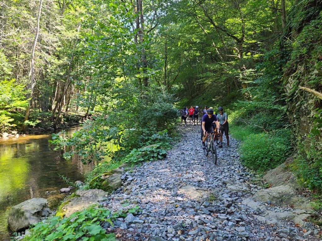
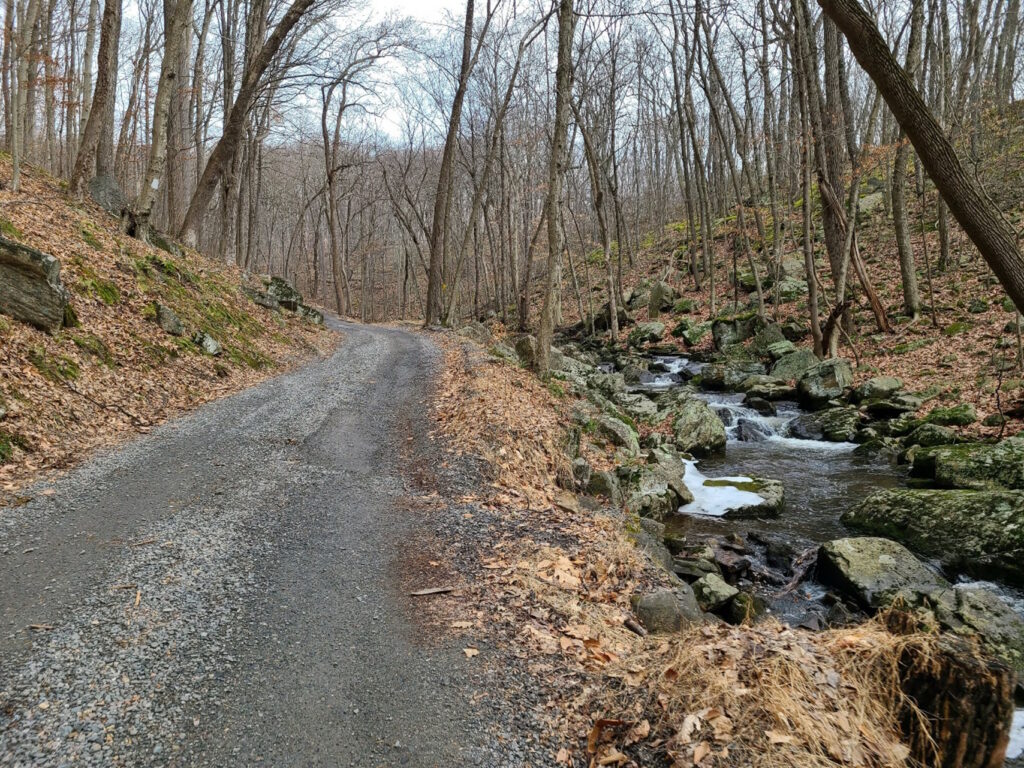
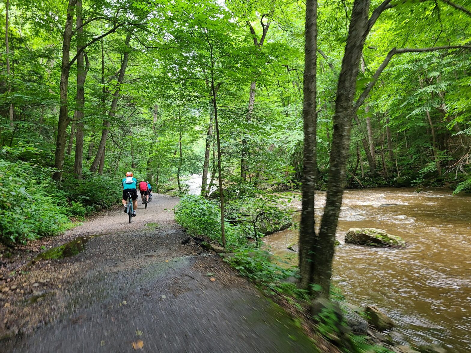
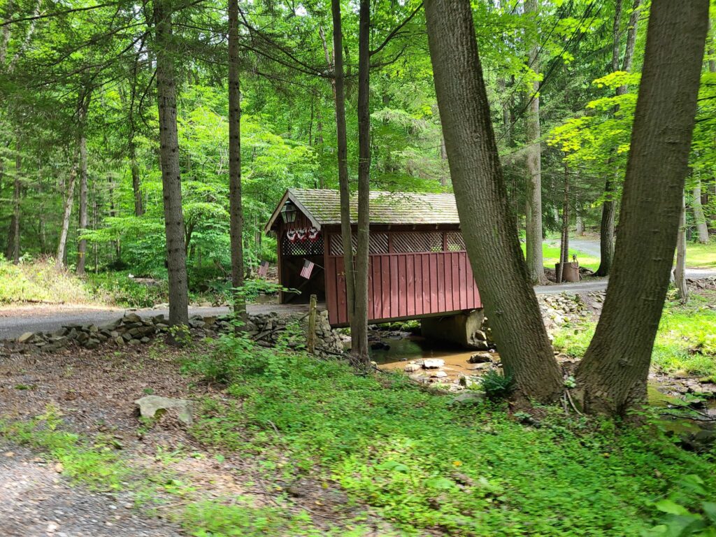
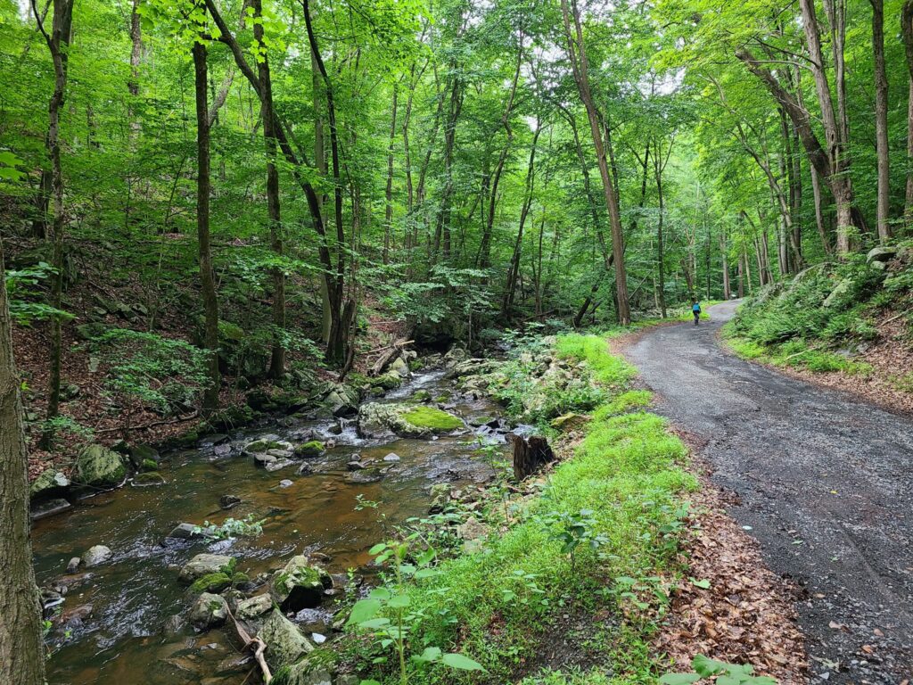
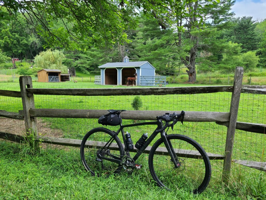
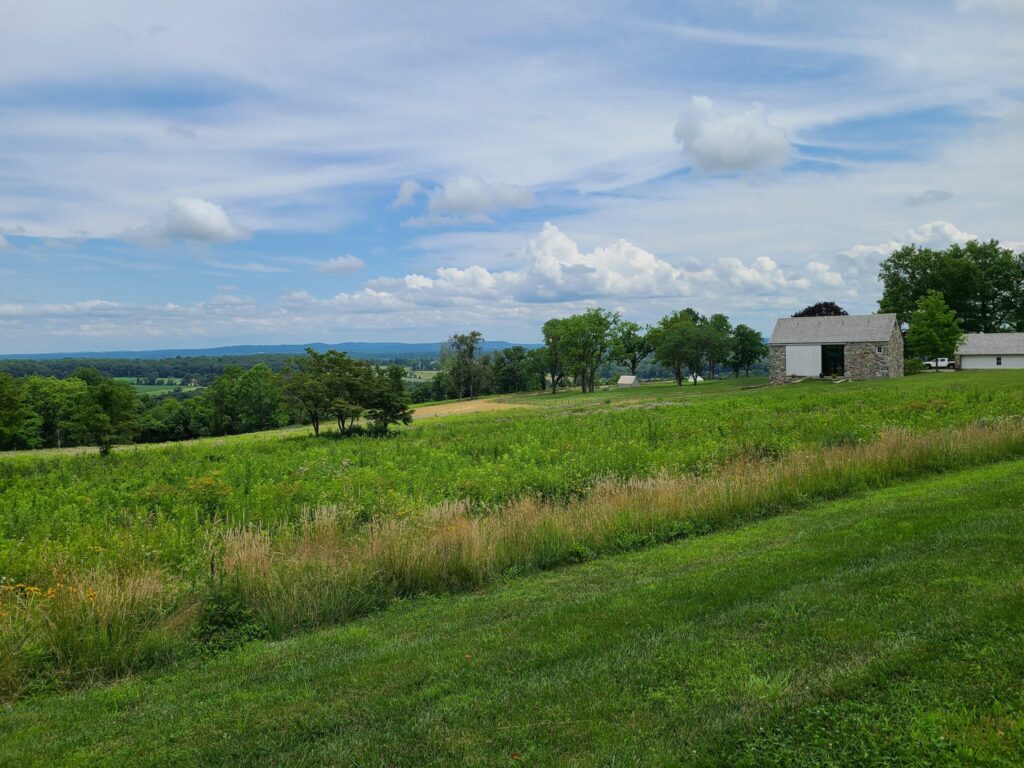
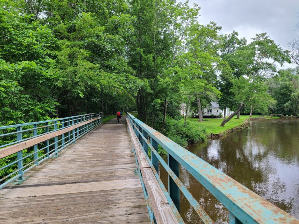
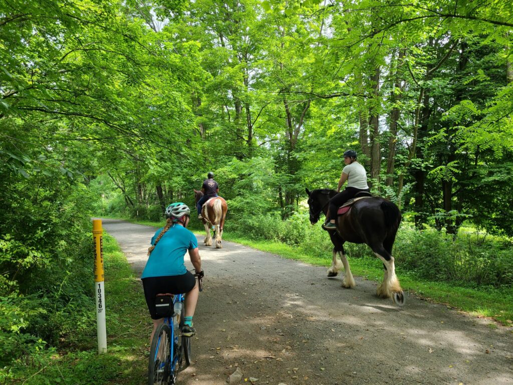
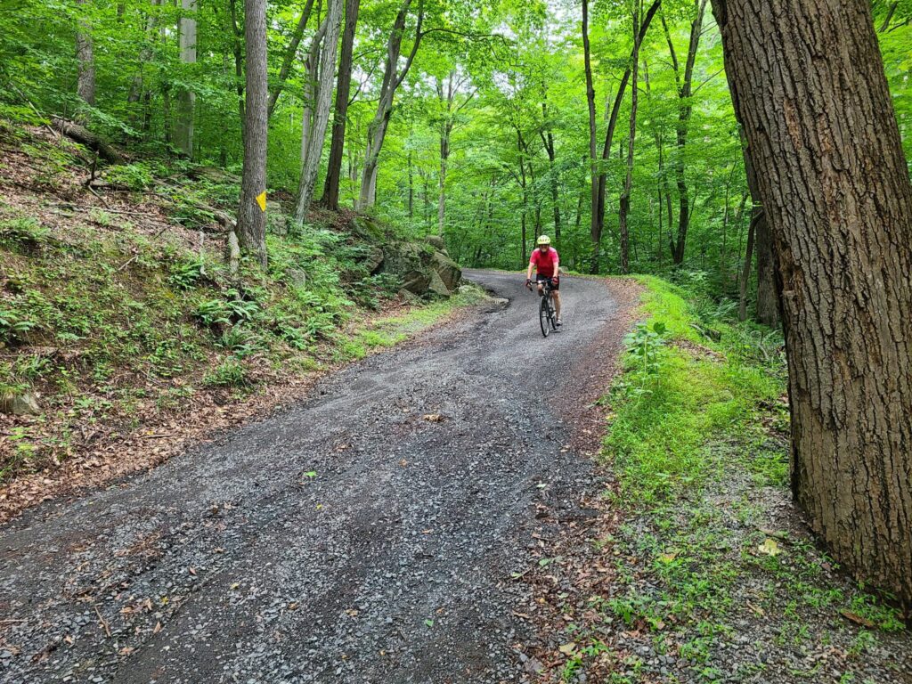
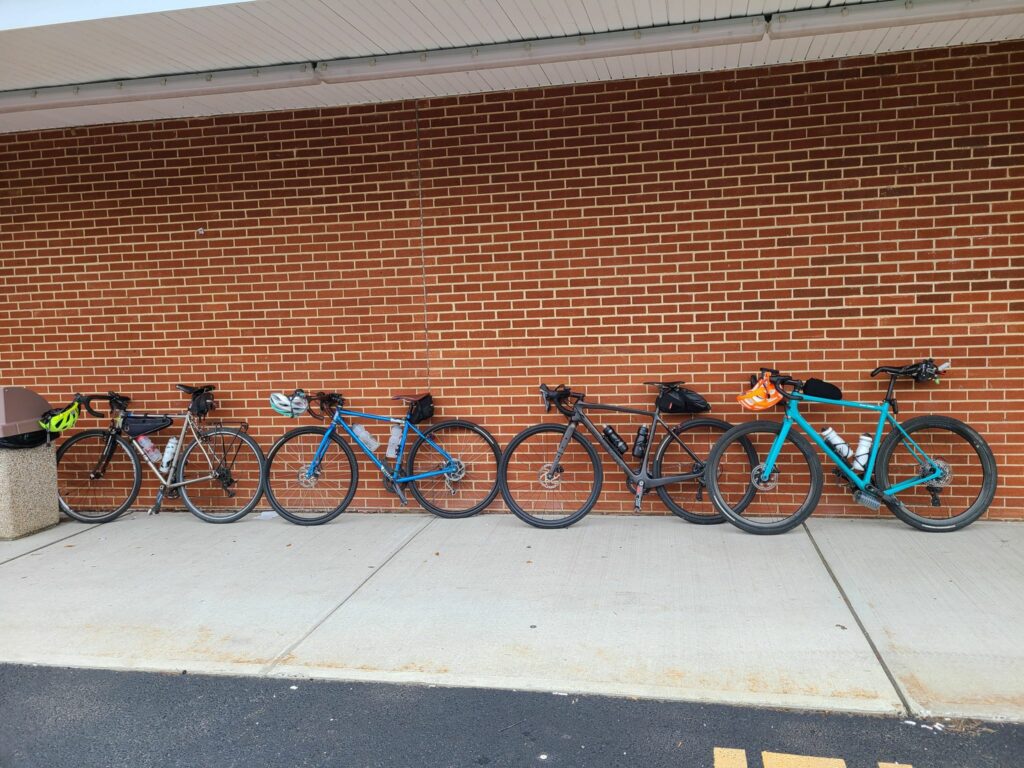
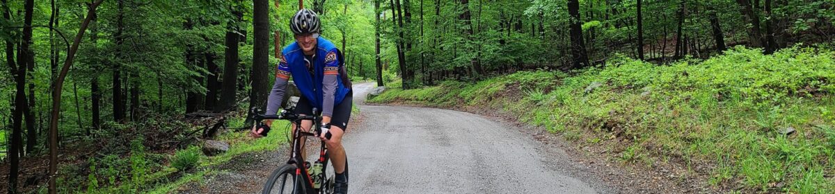
Photos from the ride:
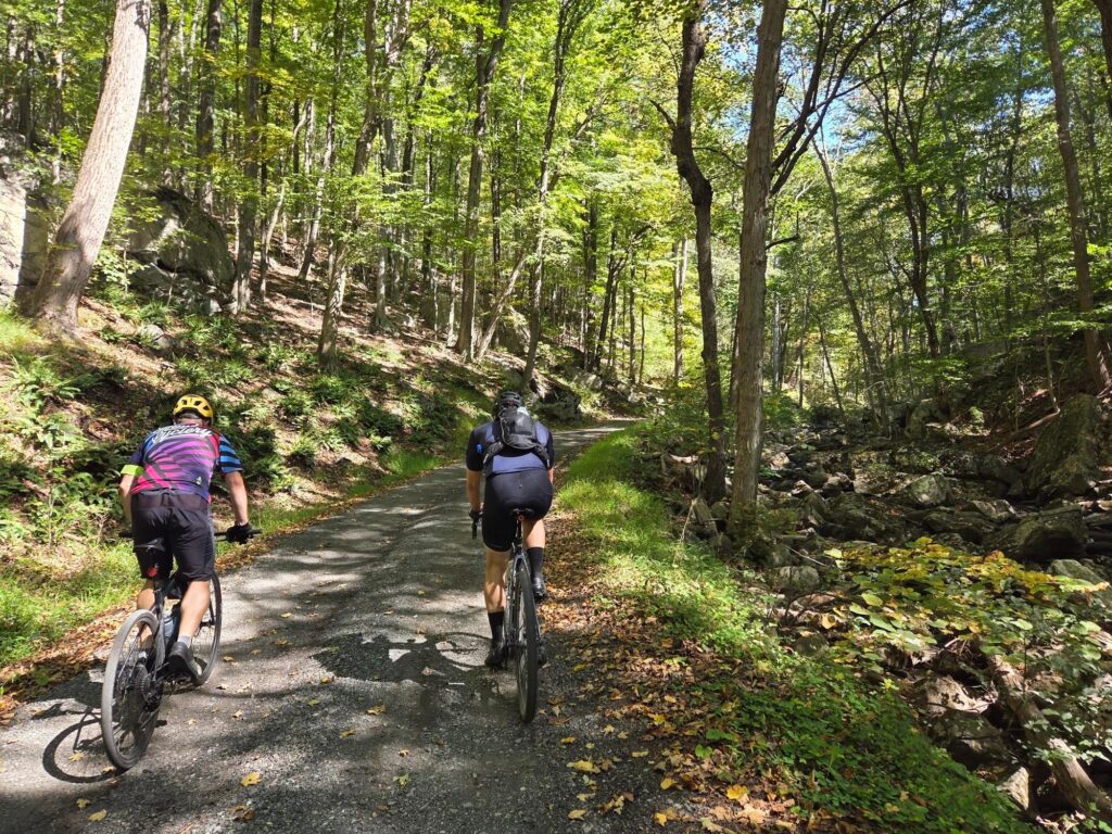
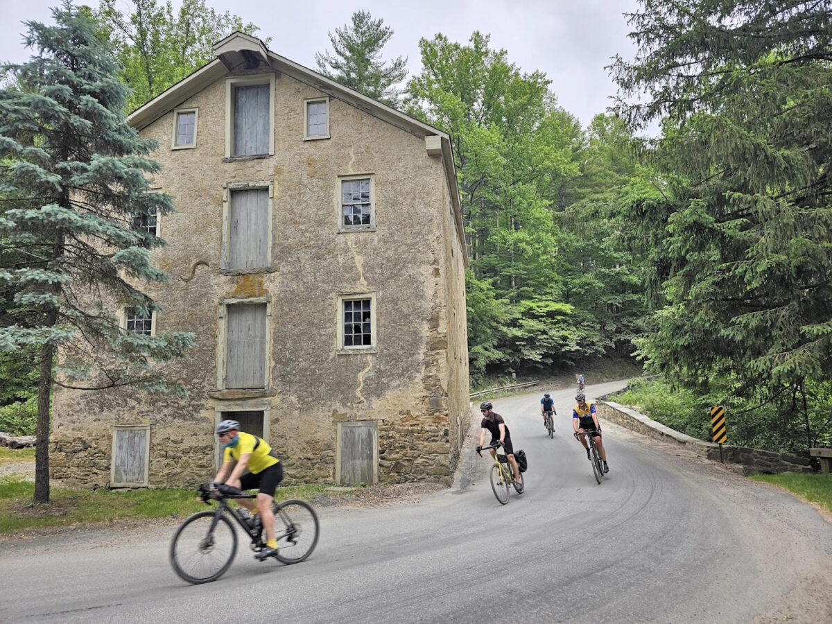
Starting the climb through the scenic Teetertown Ravine Nature Preserve.
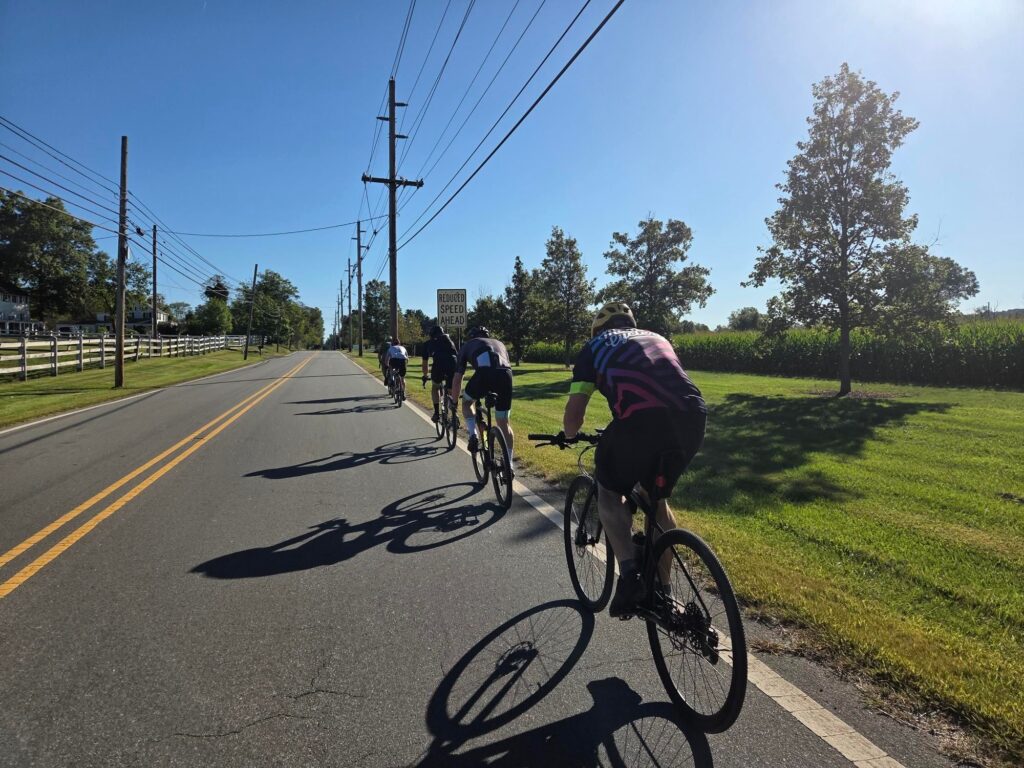
Long Distance group on the road.