About GrNY & How to Join

GrNY is an informal club for gravel riding in the New York metro area. Rides involve dirt and paved surfaces, since it is difficult to string together continuous unpaved routes in our area. The goal is to get away from cars and seek gravel where we can find it.

Join us for rides that emphasize:

  • Fun exploration
  • Non-competitive atmosphere
  • No dress code (whether lycra, MTB baggies, or flannel)
  • Pacelining is discouraged on gravel roads.
  • Some members enjoy challenging rides, but the goal is the experience, not speed/stats.

Rides are posted to the GrNY Strava group and often emailed to the GrNY mailing list. Please RSVP to rides using Strava. A free Strava account is all you need.


DISCLAIMER: This is totally informal. You ride at your own risk and are responsible for your own safety. You are expected to be self-sufficient. We cannot guarantee the condition or safety of roads and trails. Nor can we control the behavior of other riders. This is not a supported event. We expect everyone to be an experienced cyclist who can repair a flat, carry appropriate food and hydration, and navigate independently if they lose the group. All riders are expected to read the GrNY ride guidelines agree to them.


If you’d like to join the Strava group, where you can receive ride invitations and RSVP for rides

First click “join group” on Strava. We want to include people who might actually join rides. That’s why we will check that you:

1) live in the broader NYC Metro area (e.g. NY, NJ, CT), and

2) are capable of riding the distance of our shortest rides (35+ miles of hilly terrain).

If your Strava profile says you live far away – you won’t be approved for membership. And we also won’t approve you for membership if, when look at the stats on your profile, we see that all the rides you’ve logged to Strava are short rides. Almost all GrNY rides are more than 35 miles and typically on hilly terrain, so you should be used to regularly riding at similar distances and elevation gradients. That said, privacy is an issue and some people have their profiles locked down. Others have never used Strava before. That’s okay.

If your Strava profile doesn’t reflect your location or riding ability, click “join group” then send an email to info@grny.org with a link to your Strava profile or your profile name. If you don’t hear back from that address, you are welcome to email Steve at track.smart@gmail.com. He can also approve your membership to the Strava group.

Once you’re a club member, communication via Strava is sometimes an issue. To get around that problem we’ve created an email mailing list. To get on the mailing list visit https://grny.org/email-list/ and follow the instructions on the page. We try to keep emails to a minimum. Please realize you have to confirm your email address to be fully signed up. Check your spam folder if you don’t see the confirmation email within a few minutes.

Finally, if you want to get a sense for the rides we do, we’ve put “ride reports” on our website for many of our rides.

End of Season Ride: The rest of the dirt roads in Westchester!

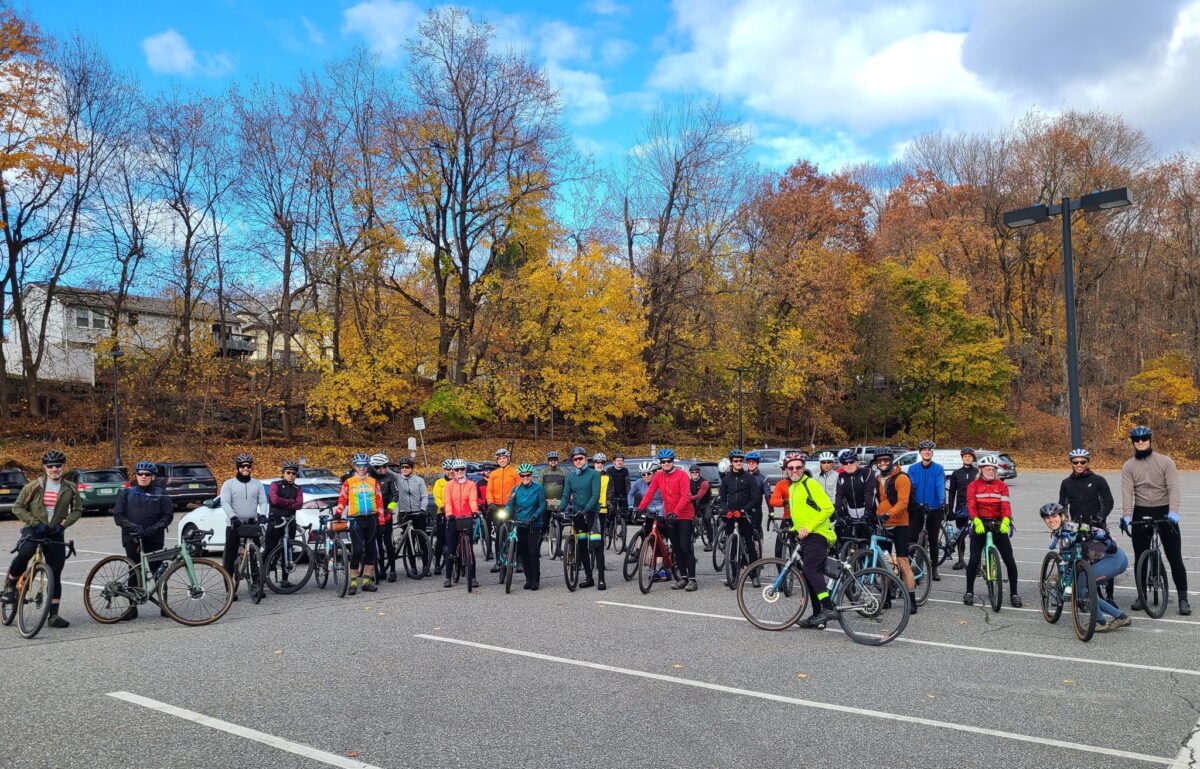
Two weeks ago, we did a ride that included *most* of the reasonably connectable dirt roads in Westchester County (see: https://www.strava.com/activities/10121167782). This week, we polished off the rest of them! We had a great group of riders, including a number of new faces. Thank you all for joining us today!

We declared this to be an *End of Season* ride. And what an excellent season it has been! We started the season with our Spring Gravel Series: five weekends in a row of awesome rides covering all of the “gravel regions” within ~1.5 hours drive of NYC. A true gravel tour! We continued with group rides every other week through today (November 12).

What does the “off season” mean for Gravel NY? Check out Jay’s post on Strava for more details: https://www.strava.com/clubs/513005/posts/26246750

The short version: GrNY rides will be much less frequent over the winter. Rides might have a single pace group, instead of “three speeds”, where all the groups overlap several times and hangout at the end. Rides will typically be announced with less notice due to unpredicable weather. We may do some paved riding to avoid messy freeze/thaw conditions on dirt roads and trails – or just for some variety. If we don’t see you this winter, we look forward to riding with you again in the spring!

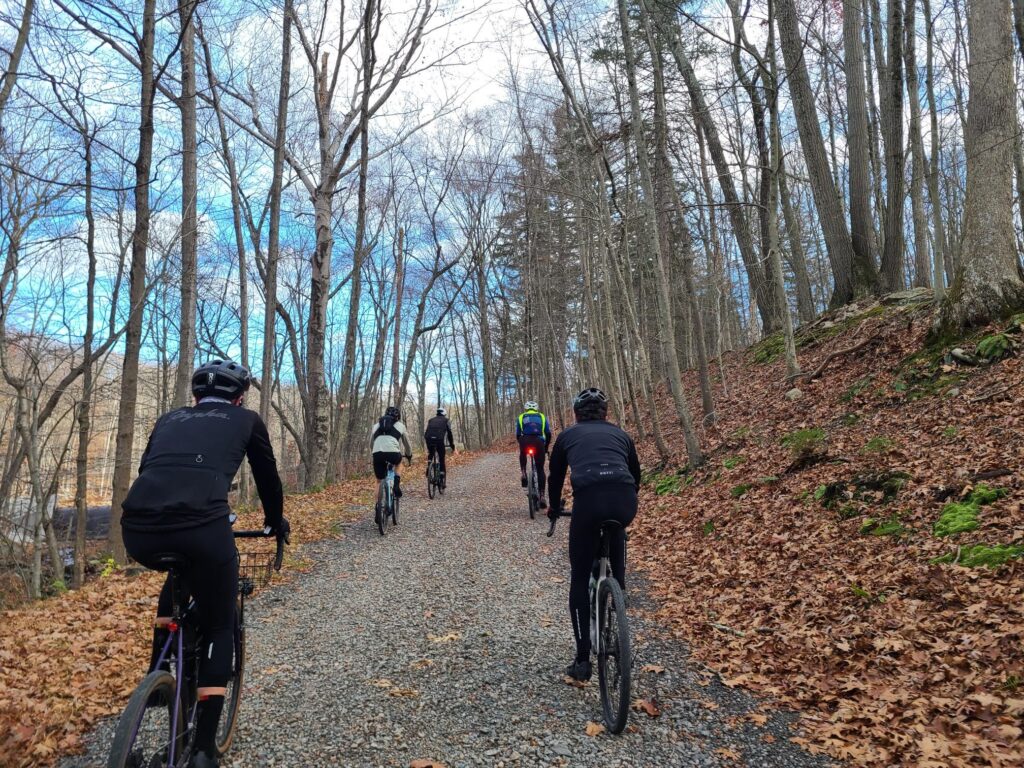
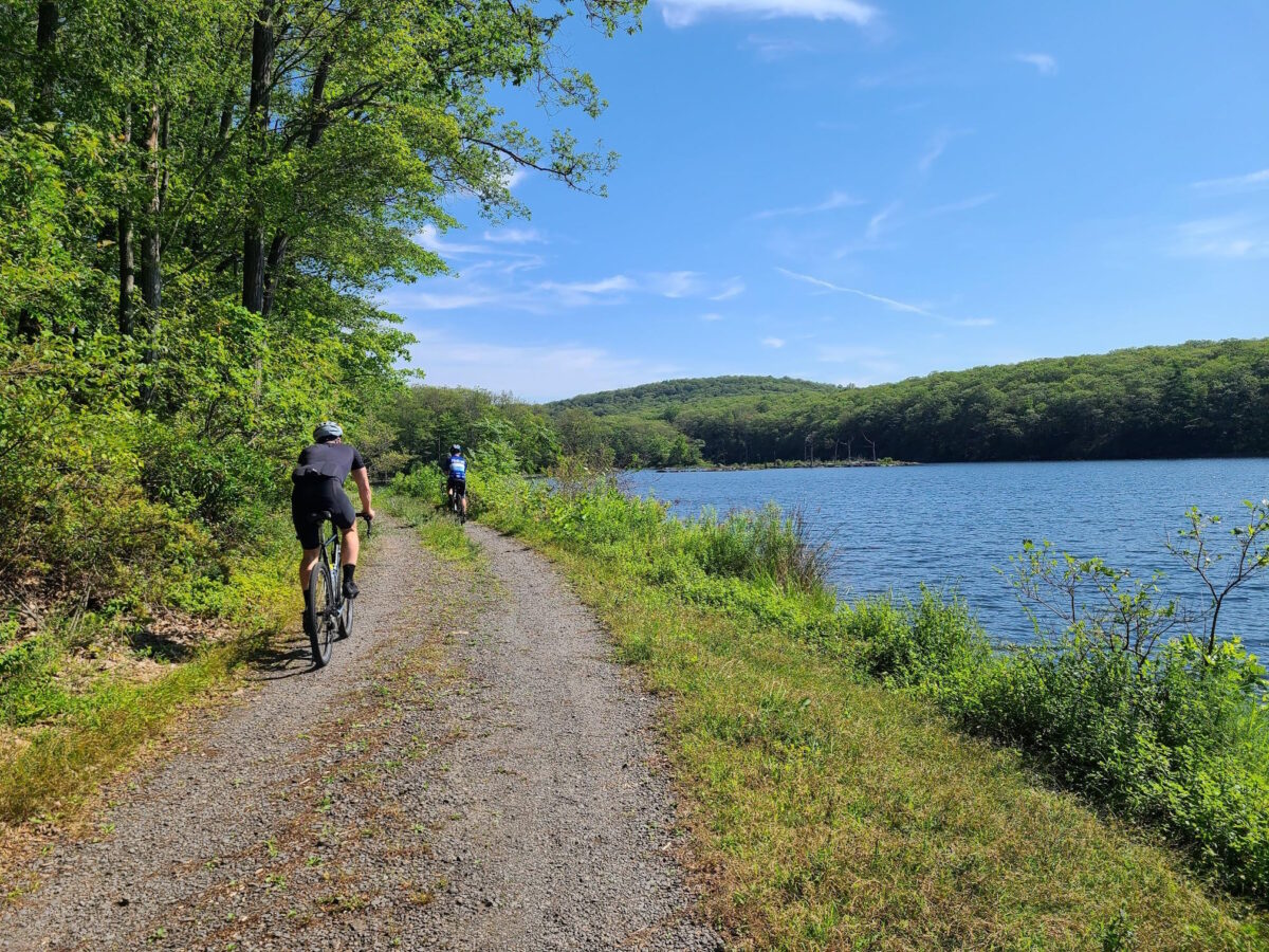
Parts of the Long and Medium distance pace groups connecting just outside of Mountain Lakes State Park. Both groups were taking a short breather (and waiting for riders) after tackling the largest climb and roughest trails of the day!

This photo is courtesy of Anthony (AKA ToneB). There was still fall color in the understory in some places.

Oct 28, 2023: Almost all the dirt roads in Westchester!

Our goal was to ride all the dirt roads in Westchester County that could be connected without too much pavement in between (>90% of the total). We wanted this to be a gravel ride after all! We almost succeeded in our mission, but apparently we missed the northernmost loop. I was wondering why we came up about 4 miles short. I guess we’ll need to try it again in the spring season! Overall, It was a lovely ride on a day that seemed too warm to possibly be in late October. Thanks for joining us on this silly mission!

Here’s the full route:
https://ridewithgps.com/routes/44840039

50-mile route that overlaps the big route. A number of people opted to ride this shorter distance version: https://ridewithgps.com/routes/44845156

Steve’s Strava Activity (we missed the northern loop!): https://www.strava.com/activities/10121167782

A bit of background:

  • We did an “All the Dirt Roads in Westchester” ride in 2021. We probably covered ~95% of the reasonably connectable dirt roads in the county in about 100 miles and 10,000 ft climbing. It was a crazy, spaghetti-like route!
  • This updated route condenses the footprint of the ride to make it more dirt-heavy (>50% gravel) at the expense of losing a few dirt road segments. You should still expect a bit of routing insanity! (loops, out-and-backs, etc). Caveats: Short dead end streets, isolated road sections, and some small pieces of longer roads were skipped to make the route a little less crazy and to keep the proportion of dirt very high.

Skipped dirt road segments include:

  • Boway/Woodway and Boutonville/Dingee roads: Requires a pretty big pavement-heavy loop for minimal increase in dirt road coverage.
  • Black Spring/Black Brook: Tiny segments of dirt that add too much pavement.
  • Millertown Rd: Only a tiny segment is still dirt, since half of it has been paved.
  • Byram Lake/Oregon Rd: Too isolated. Requires too much paved riding to get there and back.
  • Various small pieces of longer dirt roads: In other words, you’ll visit most of a given dirt road on this route, but might skip a small segment to make the route connect more readily with other dirt roads.

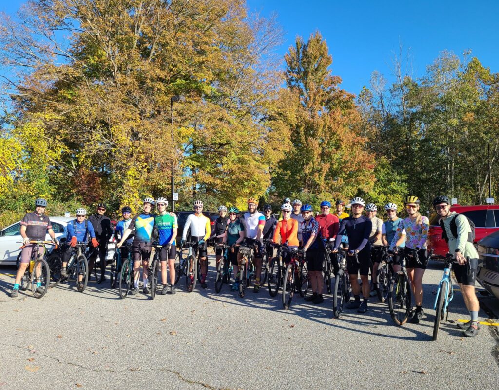
Riders on the “medium” version of the route leaving the Market at Union Hall.

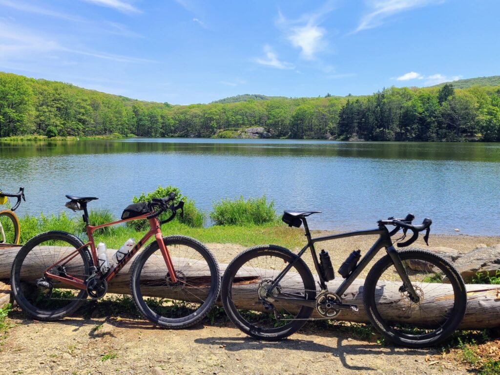
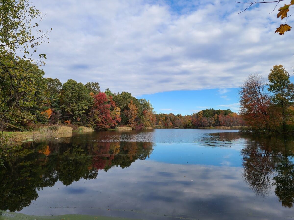
The pond in Mountain Lakes Park, which was just before our biggest (and most technical) climb of the day. The park road is in much worse shape than it was earlier in the season, so use caution on the way up! And I strongly advise against riding down it on a rigid gravel bike. You’ll easily get too much speed for the rocky conditions and the potentially slippery leaves covering the road/trail.

Oct 22, 2023: Autumn Ride from Pawling, NY

We encouraged folks to “join us while you can!”, and many people came out to ride. Days are getting shorter and temperatures are dropping. We don’t know when the best riding weather will end for the season.

This was a beautiful ride with cool weather, gorgeous autumn leaves, and a great group of riders. We revisited our Spring Gravel Series route that starts in Pawling, NY and travels through Litchfield County, CT. It was great to return to this region for the fall colors. After the ride, people from all three pace groups gathered at O’Connor’s Public House for food and drinks. Thank you everyone who joined us for this spectacular day!

ROUTES:

Steve’s Strava Activity: https://www.strava.com/activities/10086672755

Long-distance group riding through forested dirt roads.

Part of the medium-distance group (with Kathy behind the camera).

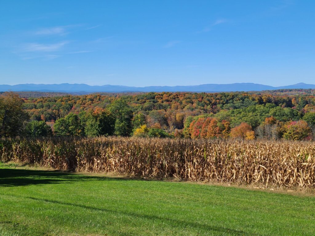
Beautiful views with fall foliage.

Long-distance group stopping for a photo at Mud Pond. The pond is much more beautiful than its name would suggest!

Oct 8, 2023: Goldens Bridge to Carmel Hamlet

Fantastic ride in Westchester County with a fun group! We started at Goldens Bridge, but traveled north towards Carmel Hamlet and the beautiful Croton Falls and Middle Branch Reservoirs. These routes have less intense climbs than we did on our previous “three speeds” ride in Cold Spring, but you should still expect some hills.

Overall: There were lots of reservoirs, leaves turning color, forested roads and horse country estates. The dirt roads were mostly in very good shape for riding, with just a few wet spots from yesterday’s rain. The weather was great, too. A little cool, but very comfortable. Most people stayed after the ride to hang out over cold drinks and food (i.e. tailgating at Goldens Bridge Station, which is across the street from a supermarket and a few stores). A fun time!

ROUTES:
-Long (66mi/>4800ft): https://ridewithgps.com/routes/44434121
-Medium (59mi/>4200ft): https://ridewithgps.com/routes/44476394
-Short (45mi/>3200ft): https://ridewithgps.com/routes/44476854

Steve’s Strava Activity: https://www.strava.com/activities/10002658540

Some of the medium-distance group near the Croton Falls Reservoir.

Some of the shorter-distance group on the Cross River Dam.

Lots of fall color on the trees.

Riders on the hard-packed dirt roads of Westchester County.

Oct 1, 2023: Gravel Century – Mt Riga, Sunset Rock and the Berkshires

This was the second year that we’ve done this ride (previously in 2022). It needs to become an annual tradition! This is some of the best riding in our broader region. Absolutely worth the trip and the effort. Note: You’ll need a car (or a lift from another rider) to get to the start location.

Ride description: Epic gravel ride that includes the climb up Mt Riga (~1250ft), the more challenging climb to Sunset Rock (~1050ft, but considerably steeper), the flat (and beautiful) Housatonic River Road, and other premium stretches of gravel in the region. It includes the option to visit Bash Bish falls (the trail is just steps away from the route). This can easily be made into a two-day bikepacking adventure (camping overnight at Taconic Falls State Park). Worth the drive!

Itinerary for our ride.
-19.5 mi: Optional water/gatorade stop at LaBonne’s Market in Salisbury
**34.5 mi: Required stop at Depot Deli for snacks/food/water. This will be needed after climbing Mt Riga and before climbing Sunset Rock (each 1250ft and 1050ft, respectively). Bathrooms potentially available at Taconic State Park campground across the street (when open for the season).
**49 mi: Lunch or snacks at one of these places: a) The Marketplace Kitchen and Cafe in Sheffield (sandwiches, etc, but extremely slow service); b) Gulotta’s Convenience Store next to the Mobil Gas Station has sandwiches, gatorade, etc, but no batherooms!; c) The Bakin’ Bakery (good place for desserts, they had small bottles of gatorade, and a bathroom).
-65mi: Optional detour to Falls River Cafe.
**78: Required Stop at supermarket or gas station in Sharon, CT. Last reliable place to get food/drinks before end of ride. Gas station = no bathrooms. But the supermarket across the street has bathrooms.

Parking: Housatonic Meadows Picnic Area has been a safe choice. They had a decent pit-style toilet (no running water) when we last visited (Oct 2023). There is no fee (just drive and park — no booth). Mark’s ride starts at Housatonic High School. I’m guessing that will work for weekends or summer, only.

Too long? Try these still epic, but shorter options. The shorter routes include both big climbs and the Berkshires sections.

FULL ROUTE: https://ridewithgps.com/routes/39908432

Shorter versions:
86mi: https://ridewithgps.com/routes/39908354
75mi: https://ridewithgps.com/routes/39908450
68mi: https://ridewithgps.com/routes/44553792

Steve’s Strava Activity: https://www.strava.com/activities/9959324686

Our route includes an abundance of quiet dirt roads (~50%) and generally nice paved roads connecting it all together.

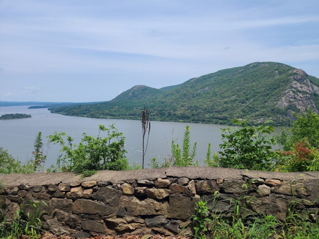
Great views across our ride.

Warnings about damaged dirt roads and trails in our region

Areas north of NYC experienced torrential rains during a mid-July storm (2023). It’s already mid-September, but some roads and trails have not yet been repaired. Be extra careful if you plan to ride in these areas, below.

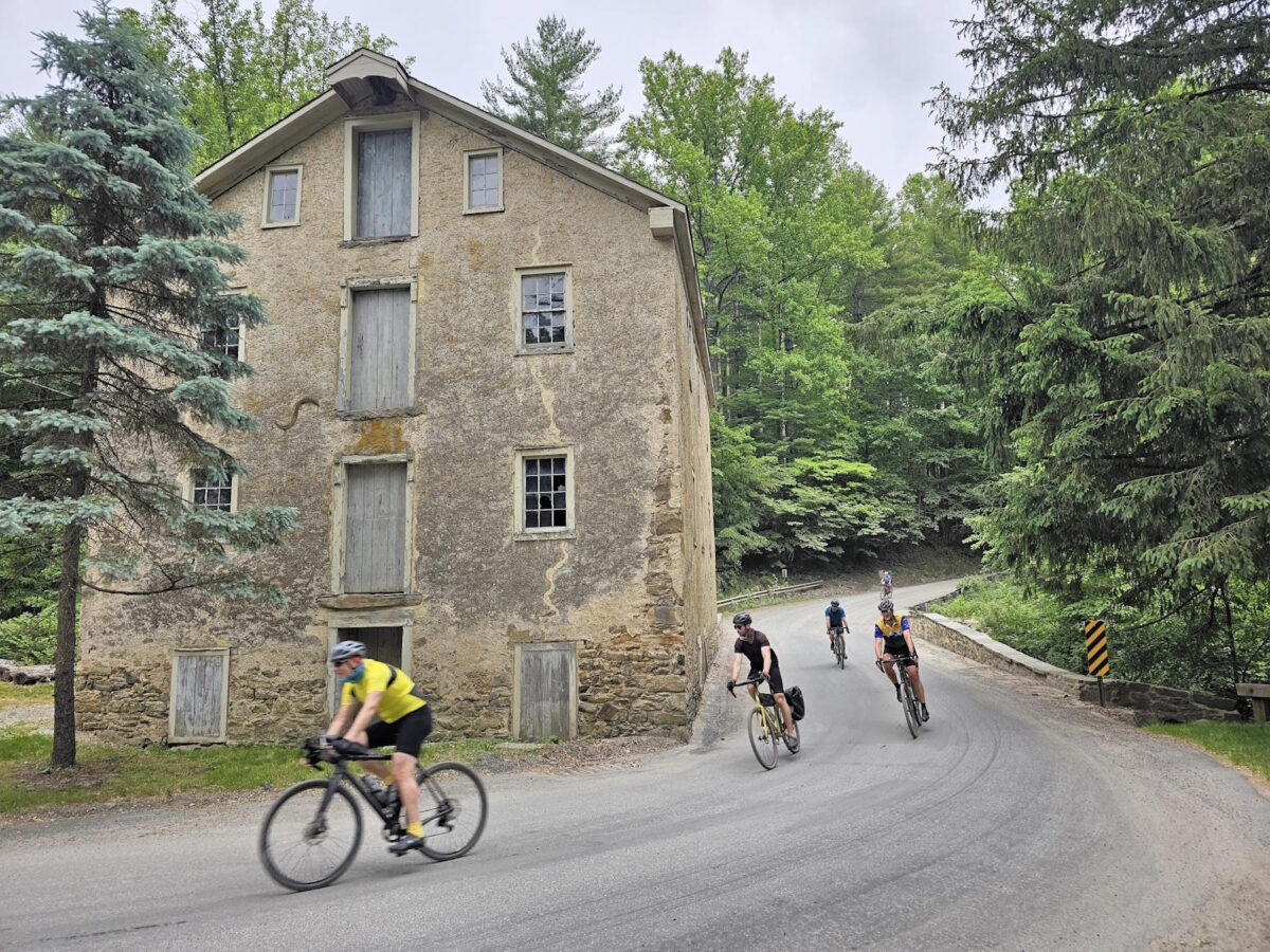
Parts of Sunken Mine Rd, in Puntam County, NY were destroyed during the aforementioned storm. I’ve heard from a few groups of riders who found this out the hard way. In one case, a rider went down pretty hard as they approached the destruction. Even on the “better” parts, I’ve heard that the road/trail is pretty rough and there are many downed branches. The photo above the post, with the rider in yellow, is of Sunken Mine Rd. It was taken by Ken shortly after the July storm. Thanks Ken!

NOTE: Many of the dirt roads in Putnam County are in rougher shape than usual. On our last ride, we encountered many more washouts, big potholes, or soft spots (where riders lost traction) than usual. Old Albany Post Rd is one example of a great dirt road, which is rideable, but extra caution is required – particularly when going downhill, where speeds will be high. We purposly routed uphill only for most of our time on that road, with one short exception, which you could consider cutting around by staying on Rt 9 in that direction.

Black Rock Forest is a beautiful place to ride. That said, it should be avoided by bike until the roads and trails can be repaired (consider a hike instead). The trails and some of the other infrastructure at this research forest were badly damaged in that July storm. I think some of that damage will take a long time to repair. Note: bikes are only allowed on the roads / jeep roads — see their trail maps. Currently, trails are open for hiking but they state: “Please exercise extreme caution on trails and roads, and especially stream crossings!”. Has anybody been to Black Rock Forest recently and ridden on the bike-allowed trails? It would be great to understand current conditions.

Storm King Highway still has a section that was washed into the Hudson River. Yes, this is a paved road, but it is also the main way to travel through that area, on a bike, without riding on the side of the highway (9W) with an intermittenly disappearing shoulder (the shoulder turns into a drainage culvert in places), which I do not recommend. You will *not* be able to walk around that destroyed part. One section of the rear slope is a sheer rock face with water running down it, like a waterfall that is ready to carry you down the cliff.

Know about other damaged dirt roads we should watch out for? Let us know! email: track.smart@gmail.com. In particular, we tend to ride in these areas, which are within striking distance of NYC: Westchester, Putnam, Orange, and Dutchess Counties in NY; Litchfield County in CT; and the Bedminster region in NJ. Thanks!

The photo below is the state of Storm King Highway as of recently (September 2023). I’m not going to provide a photo credit since you aren’t supposed to visit that spot. The waterfall-like section is not visible in the photo, but please understand that you will not be walking around this mess. You will be stuck on one side or the other.

Sept 16, 2023: Putnam County Dirt!

On this wonderfully cool Saturday morning, we tackled a fun and challenging set of routes that included many of the big climbs in Putnam County. We modified our original routes to avoid some dirt road sections that were badly damaged in a storm in July (particularly Sunken Mine Rd), but we still traversed some beautiful terrain.

The long route, unlike our Spring Gravel Series version, saved the two largest climbs for the last 1/3 of the ride – and we might have broken a couple of riders with that setup – sorry! Those two big climbs are tough at any time, but especially difficult after you’ve already done 5000 ft of climbing. The route was mostly downhill for the last ~10 miles if that counts for anything.

Many riders stayed to hang out over cold drinks and food after the ride, which was fun. Our long-distance group missed a few people before they headed off (we got back a little behind schedule). For the record: Kathy (medium group) and I (long group) had almost the exact same moving time, 4:14 and 4:15, so our planning was actually pretty good. That said, we ended up taking some longer pauses in the long distance group for a variety of reasons, which slowed things down a bit.

ROUTES:
-Long (v2): https://ridewithgps.com/routes/44397564
-Medium (v2): https://ridewithgps.com/routes/44402963
-Short (v2): https://ridewithgps.com/routes/44404608
Note: We’ll update these routes, particularly the long distance route, when Sunken Mine Rd is repaired again. The long distance route included a lengthy stretch along Rt 301, which was “acceptable”, but not as nice and quiet as the rest of the route.

Steve’s Strava Activity: https://www.strava.com/activities/9862724695

Speeding along dirt roads through the woods.

Riders from the long distance group taking a pause before the biggest climbs of the day.

Part of the medium distance group, stopping to regroup.

Sept 2, 2023: Jersey Dirt! From Natirar Park

We revisited another of our Spring Gravel Series of routes. Once again this was after a three month absence. This time the beautiful Bedminster area of New Jersey was our target. If you haven’t ridden here, it is worth the drive or train ride to experience it. This area of NJ has some of the nicest gravel riding in our region: Dirt roads through woods, forests, and along peaceful streams; Ridges and hills with beatiful pastoral views; Quaint small towns with General Stores. You’ll find at least one cooler in the woods with local maple syrup and an on-your-honor jar for depositing money.

We started from the lovely Natirar Park (named after the Raritan River, but spelled backwards, however you might feel about that). We had an awesome ride with a fantastic group. Highlights included the rugged climb up the Teetertown Ravine, the spectacular Lockwood Gorge – and of course many beautiful country roads through farm and forest. We saw some wildlife, too, including a bear and it’s two cubs (thankfully off the side of the road – so we could avoid getting between them!). Just about everyone hung out after the ride for cold drinks and snacks. As always, thank you to everyone who joined us and made it such a fun ride!

ROUTES (Same as our 5th Spring Gravel Series – These awesome routes deserve to be ridden more than once!)

Long (62mi, 5000ft): https://ridewithgps.com/routes/43071106

Medium (52mi, 4400ft): https://ridewithgps.com/routes/43070620

Short (45mi, 3700ft): https://ridewithgps.com/routes/43071000

Also: Steve’s Strava activity

https://www.strava.com/activities/9770611493

Long-distance group on the road.

Medium-distance group traveling through the beautiful Lockwood Gorge.

Long distance group again.

Most of us walked the two short rocky sections in the Lockwood Gorge. These short hike-a-bike areas (a few hundred yards) are well worth it to enjoy the rest of the scenic (and rideable) parts of this closed-to-cars former dirt road.

Aug 19, 2023: Dutchess Dirt

On Saturday, August 7 the GrNY group returned to Dover Plains after a three-month absence. As expected, it was worth the drive or train ride! We had three pace/distance groups (long, medium, short) who traversed the picturesque dirt roads of Dutchess County. We were fortunate to get absolutely perfect weather, too! After the ride, everyone celebrated with food, drinks and/or ice cream at Kelly’s Creamery and Kelly’s Husband’s Food Truck.

The medium-distance group did our less-intense variant of the classic Dover Plains Dirt loop (i.e. this route: ridewithgps.com/routes/36062828). This medium-distance variant (link further down) is possibly the best version. It skips the two steepest climbs in favor of other great dirt road riding. It also adds more civilization, including better food options in Amenia, NY and Sharon, CT. It uses a spur of the Harlem Valley bike trail to connect it all together and adds some new (flatter) dirt/gravel roads make up for any lost dirt, including the always lovely (and well-graded) climb up Deep Hollow Road.

The short-distance group did the same route, but stayed on the Harlem Valley Rail Trail at the midway point. This made for a shorter but also extremely pleasant ride back to the start. Finally, the long-distance group did a very different route that cut westward and traversed the area around the Wassaic Multiple Use Area (a lovely forested area).

ROUTES

Macedonia Brook State Park

Medium-distance group on the road

Boardwalk through a beautiful wetland (only traversed on the short-distance route).