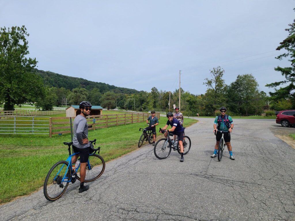
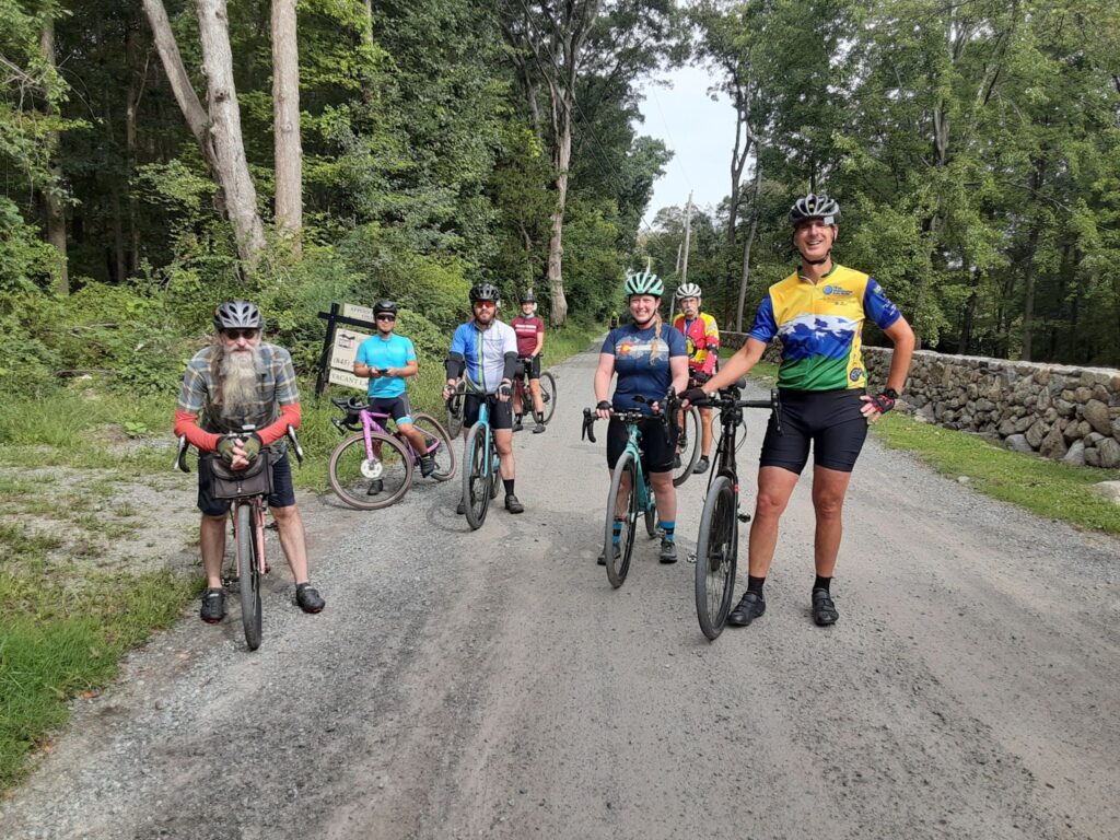
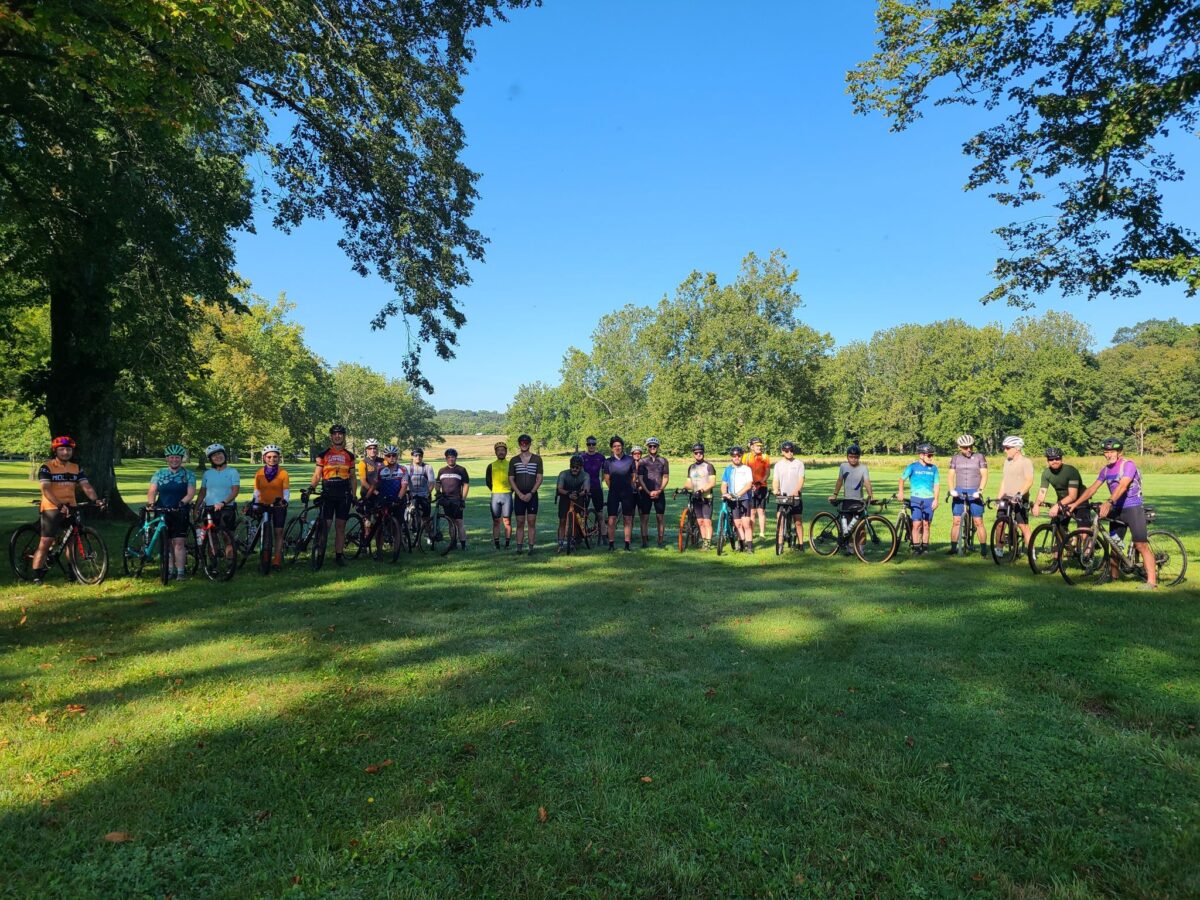
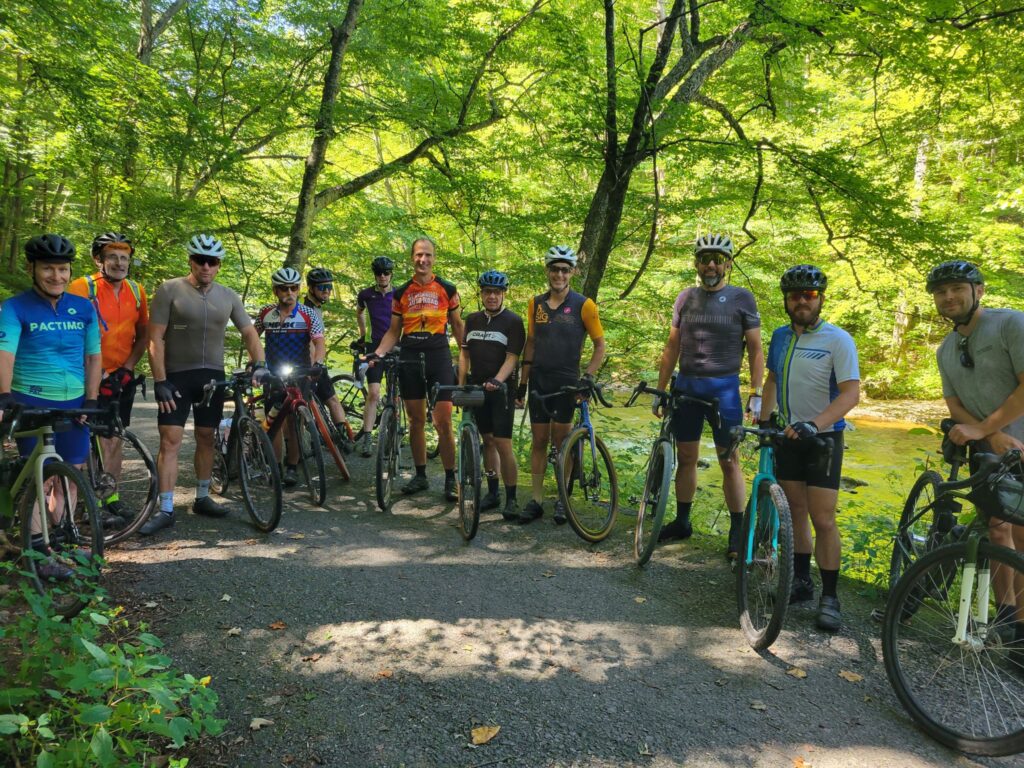
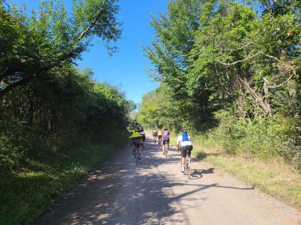
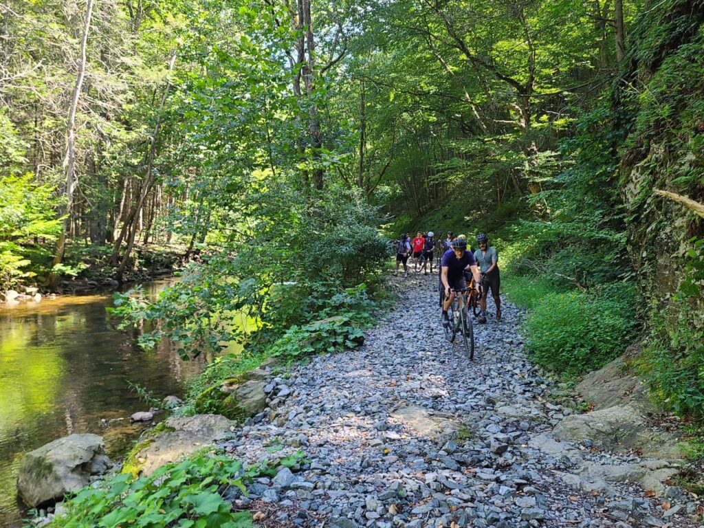
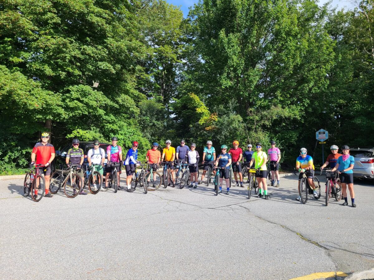
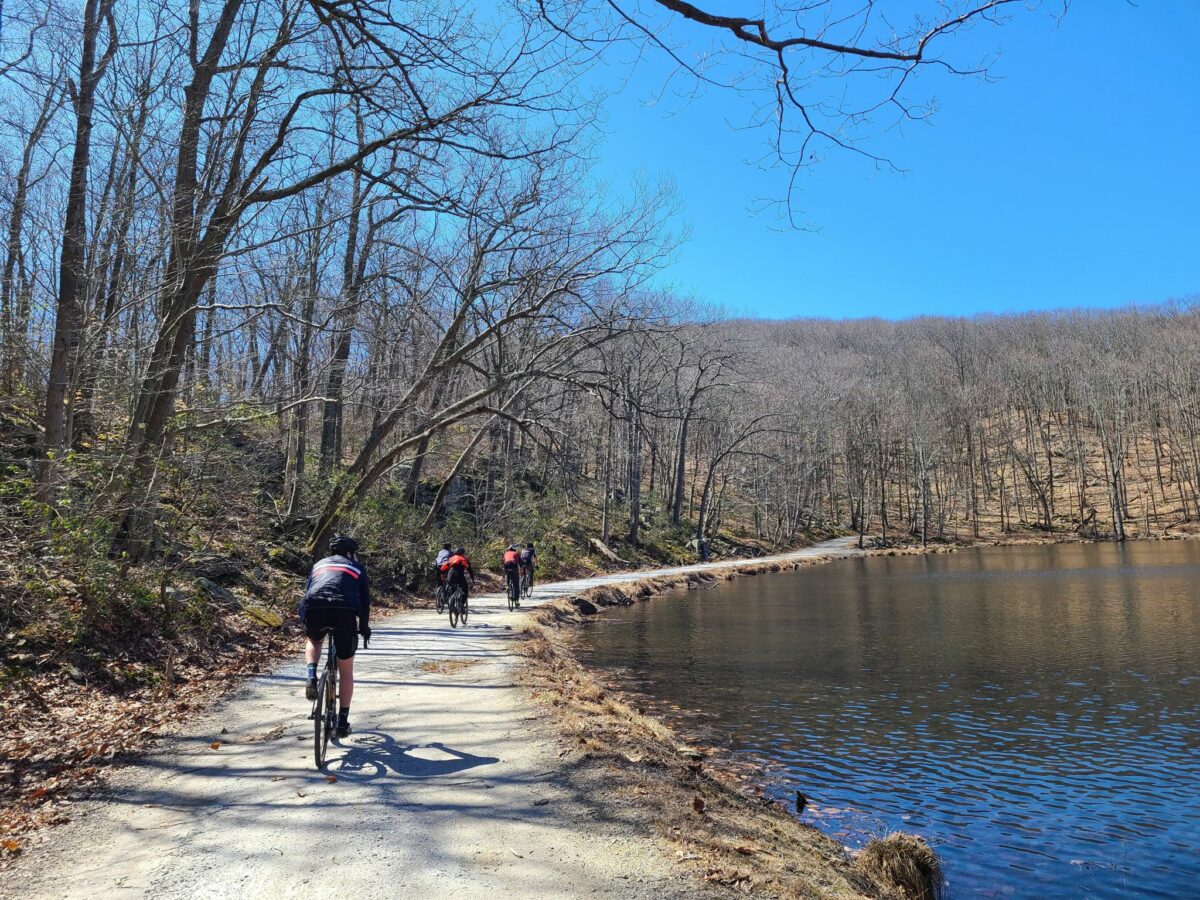
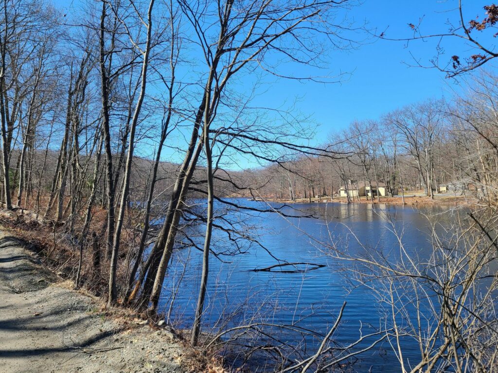
Brewster to Wassaic Gravel Ride

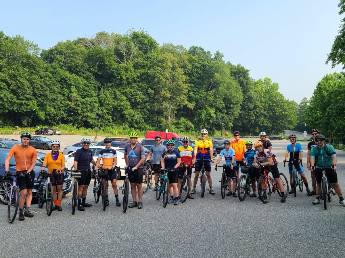
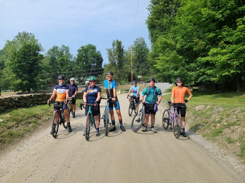
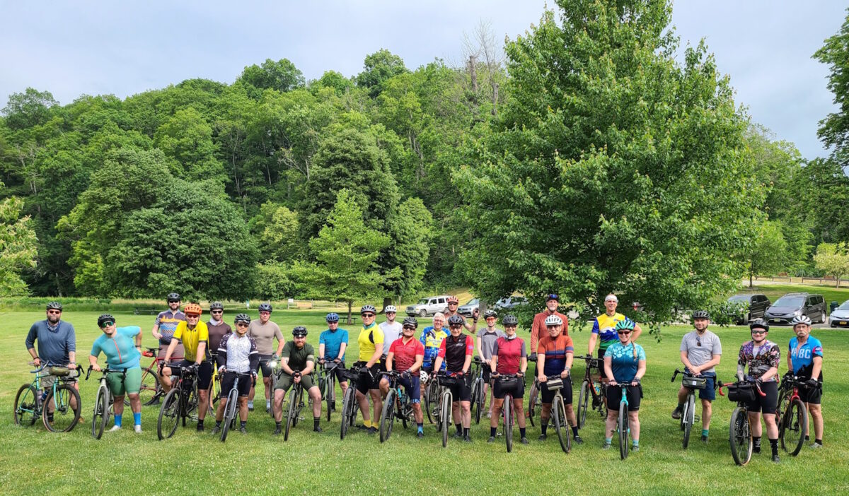
For those who missed it, here’s a quick recap of this past Saturday’s GrNY ride.

TLDR version: I promised adventure on this GrNY ride and (unintentionally) ended up seriously over-delivering. Winter has not yet receded in Dutchess County. Overall we traversed…
– snow-free frozen dirt (good for riding)
– velcro-mud (energy sapping, but otherwise fine)
– soupy mud (rideable but messy)
– ice-covered forest trails (difficult even for walking),
– crusty frozen snow (upon which we did a substantial amount of snow biking).

My bike computer recorded 79 miles and 7000′ of climbing. That was one crazy ride, but a lot of fun. Thanks everyone who joined this not-yet-spring lunacy!

=========
MORE DETAIL: Going north of the city for a gravel ride was always going to be a risk this time of year — to the extent that I chose a 100% paved route as a backup plan. But despite the frozen crust of snow in the grass around our starting location, all of our riders decided to try the dirt route.

Things started off well in the chilly morning: Nicely frozen (and therefore solid) dirt roads for us to enjoy – all completely free of snow on the road portion. That said, the snow under the trees indicated that we would surely be hiking through the forest trail portion of our ride (at West Mountain Forest). And sure enough, even walking was a challenge on that section! It was a ~0.75 mile of “ice-hiking”.
Fortunately, we soon hit roads again on the other side.

After lunch at Cousins Bakery/Cafe/Deli/Pizzeria, we ventured further north and found our dirt roads getting softer with the warmth of the day. Totally rideable, but sometimes sticky (sapping ones energy) and occasionally pretty messy. We never hit truly awful peanut butter mud, so I’ll consider that a win on the mud front. But those closed-for-the-season dirt roads were an entirely different matter! Without car traffic, they were still covered in a crust of semi-frozen snow. I expected us to be walking, but after seeing Vasyl forge ahead on two wheels, the rest of us gave it a shot. Definitely challenging, but on the flat, we managed to roll (and skid) our way forward. We did this through several short sections of seasonal road and thought we had triumphed by the time we returned to the lower loop of our ride. But around mile 64 we hit an uphill surprise of more snow-covered roads. We weren’t going to be riding up that — we barely had traction on the flats! And it was getting late in the day, so limited daylight was a concern.

About half of our bunch took the most direct paved path back towards our start location (the shoulder of a busy Route 22). The other half (including yours truly) took a detour half-way down Route 22, then veered towards the paved Mayberry trail – and towards peaceful salvation. Or so we thought! We soon hit a stretch of unexpected icy-snow stretching into the distance on the bike trail. Wow, there was just no escaping the white stuff! Fortunately, after that longish stretch of snow-biking, the rest of the Mayberry trail was fine except for short bands of snow underneath underpasses. All riders made it back to the train or their cars and were only slightly the worse for wear. It was one crazy ride!

MAIN ROUTE (77.5 miles, ~7000’): https://ridewithgps.com/routes/36622714

Our actual ride: https://www.strava.com/activities/6779011361

Questions? post below or email: track.smart@gmail.com

Maybrook Trailway
Walking bikes on icy snow
Lifting bikes over a gate
The route

Celebrating a Year of Gravel Rides — and Happy Holidays!

Hi Folks,

I want to wish everyone in the GrNY group a happy holiday season! My personal end-of-year thoughts and observations are below.

A Year of Rides:
Since April of this year, GrNY has hosted at least 24 group rides. Probably more. That’s a lot of group rides! Particularly, given that two people account for most of the rides that are posted (i.e. Jay and I). The count increases if I include gravel rides where I invited members of GrNY via email or text, but didn’t post a Strava event. These gravel rides spanned a wide range of distances and elevations, from 35-40 miles on rolling terrain to a gravel century (100 miles) with over 10,000 feet of climbing.

The General Spirit of GrNY Rides:
GrNY rides are informal, there are no membership fees, and folks are welcome to show up on any kind of bike, in any kind of clothes. Stopping to enjoy the scenery, snap a photo, and/or refuel with a snack, is an expected part of the experience, rather than something that immediately gets you dropped from the rest of the ride. That’s not to say that you should ignore the expected ride speeds that get posted! Some of us like challenging rides, or riding hard, but we are out to enjoy the day, rather than to race or achieve particular speeds/times/power numbers. I want to thank Jay for starting GrNY. I’ve grown to appreciate what he was aiming for.

Do GrNY rides count as “Gravel Events”?
Some of you have told me you treat the longer rides that I post (e.g. 60 – 80+ miles with lots of climbing) as if they are gravel events, which I’ll take as a compliment! They are certainly fun adventures and the courses certainly rival many events in terms of challenge and scenic beauty. Unlike typical events, our rides aren’t declared months in advance and don’t run out of spaces within a few hours of posting. We expect riders to be self-sufficient on the road, rather than have aid stations. We certainly don’t have plans to charge money for rides, despite some of you joking that it would boost turnout by 100-fold — ha! And our rides are typically small. Sometimes it is just a few riders and a single pace group and distance. For rides with three pace groups and three ride leaders, like our Spring Gravel Series, we tend to get a larger number of riders (15-35 riders).

Whether these rides are true “gravel events” or not, I appreciate the folks who wake up early or travel some distance to join them!

Winter Rides?
I can’t speak for Jay and others, but I tend to ride year round. I’ll probably continue to post some rides in cold weather. That said, riding in cold weather on closed-for-the-season dirt roads, in areas without cell reception, requires being especially well-prepared. Please be sure that you are ready for winter conditions if you join these rides.

Thanks for a great year everyone! I look forward to riding with many of you in 2022.

Steve
Email: track.smart@gmail.com

Macedonia Gravel Grinder* – Winter Edition

Yesterday, members of the GrNY group did this ride for the first time. I’ve had a couple of requests for the RidewithGPS route, hence this ride report. For those who don’t know, Strava events (and their routes) disappear from the group page once they are over.

MAIN ROUTE: https://ridewithgps.com/routes/38187873
~80 miles and 8,000 ft climbing

SHORTER VERSION: https://ridewithgps.com/routes/38188236
~65 miles and 6,000 ft climbing

Our actual ride: https://www.strava.com/activities/6395687673

From my Strava feed:
“It was an awesome day on the bike with some excellent company (most of whom woke up before 5am so we could get to the ride start before NYC traffic started!). There was much excellent dirt and plenty of climbing. Those of us who are more road/gravel oriented got several hundred extra feet of climbing by taking the paved way down Skiff Mountain. Those with better mountain bike skills chose the dare-devil, gravel descent (steep, winding, narrow, loose gravel, with potential uphill jeep/ATV traffic).
Thanks to Mark L for the spectacular route that he created in 2015 — and his advice for further improving it prior to our ride today!”

NOTES:
1) There were a couple of places with road work/closures, but on bikes, we were able to pass through.
2) Make sure you are well-stocked with food and water (e.g. in Kent) before starting the upper loop. You won’t find any places to refuel up there.
3) The route above takes the paved way down Skiff mountain (safer), but choose your own adventure (at your own risk).

* This route has no affiliation with the official Macedonia Gravel Grinder event, which will be happening for the first time this summer. I have no idea which roads that event will take, aside for obviously traveling through the lovely Macedonia Brook State Park.

Pawling Nature Preserve
Housatonic River
Housatonic River
Hill on dirt road
Up up up… There was plenty of climbing on the day (>8,000 ft according to most of our bike computers)

All the Dirt Roads in Westchester County in One Ride*

*All of the reasonably connectable dirt roads.

I’ve had a few requests for this route, so it seemed worth making a quick post to the GrNY group, so it can be found in the future.

ROUTE:
https://ridewithgps.com/routes/37819854

This route attempts to include all of the reasonably-connectable gravel and dirt roads in Westchester County in a single ride. The ride is 99.6 miles and somewhere between 9,500 and 10,500 feet of climbing depending on whose GPS you believe. Most of these dirt roads are nicely maintained hardpack, with the exception of Mountain Lakes Park which is a bit rougher. Dirt road conditions can change rapidly, so use common precautions.

Is it really *all* of the dirt roads? Not quite, hence the asterisk. Short dead end streets, highly isolated road sections, and some small pieces of longer roads were skipped. This avoids adding many paved miles just to add small segments of dirt. This route does not include multi-use trails, like the OCA (Old Croton Aquaduct trail). It focuses on dirt/gravel roads.

As for the ride itself, I’ll cut-and-paste from my feed on November 20:

Epic day on the bike. Ellis and I completed a Westchester gravel century with the goal of hitting all the dirt roads in the county. We started early, so we would have plenty of daylight and had a blast. So many beautiful forests, farms, and horse country estates.

Forewarning for city folks: mornings are a lot colder here. Bundle up! It was 28F when we started, but turned into a lovely day.”

Mountain Lakes Park
Cross River Dam
Cross River Dam

Wingdale To Wassaic – Rain Remix (with routes)

This past Saturday, we dragged ourselves out of bed early so we could ride before a predicted afternoon storm. We enjoyed some excellent dirt riding through forests and across ridges with stunning views. And we managed to complete the entire ride before some nasty weather rolled in.

Our original route would have been 77 miles (see notes for the Brewster to Wassaic ride earlier this year), but we shortened it to 47 miles in light of the weather. We also moved the start location to Wingdale, which is near the center of this “figure 8” shaped ride, so we could easily bail if the storm arrived early. Thankfully, we completed this beautiful ride before the skies opened up with pouring rain, heavy winds, and even hail in some places.

I’ve pasted our shortened route below, because sometimes folks are looking for rides that don’t require an entire day to complete.

Route from Saturday
47 miler: https://ridewithgps.com/routes/38001180

——
Longer variants:
61 miler: https://ridewithgps.com/routes/38001292

77 miler: https://ridewithgps.com/routes/36622714
(the original route from earlier this year)

Misty/foggy morning start
This is what it looked like in the morning at the ride start. The sun hadn’t fought its way through the mist yet.
Two bikes leaning against a white fence
It turned into a beautiful day. At least until the storms rolled in later! We finished at the right time.

Halloween Gravel Ride in Katonah, NY

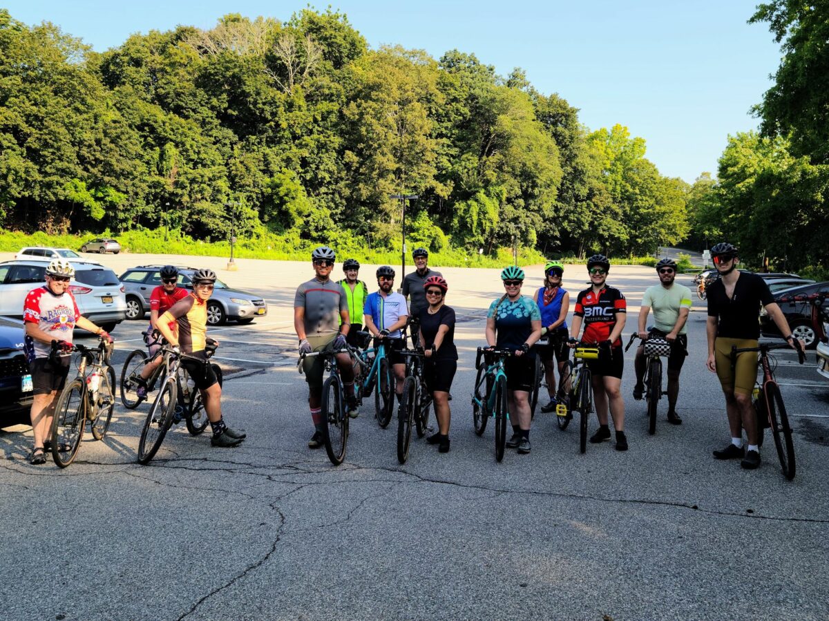
A dozen riders showed up on Halloween morning, including a few people who were riding with us for the first time. Welcome! It was fun meeting all of you!

We covered some of Westchester’s best dirt and quiet paved roads. Given the major rain storm the night before, we opted for hard-packed dirt roads and took the “main road” through Mountain Lakes Park, rather than the trails. It’s more of a rugged jeep trail for much of its distance, rather than a road, but it is the least-muddy and least-technical path through the park after rainy weather. Aside for temporarily losing a rider or two, who managed to zip past our appointed lunch location, everything went smoothly.

After the ride, a few of us grabbed beers and food at the deli next to the commuter parking lot. They have a little beer garden outside and had some solid brews available, given the small number of taps on offer.

-Steve
Strava: Cyclosaurus (Steve)
Email: track.smart@gmail.com

** Route details are below **

The complete route is ~63 miles and >5000 ft of elevation gain. It can be shortened to 55 miles or even 48 miles if anybody is running low on time or energy. It is not obvious in this direction of travel, but The Market at Union Hall is on the corner around Mile 28. I updated the route to make it clear that there is a potential food stop at that location. For drivers, there is a large commuter parking lot, just a couple of blocks from the train station.

ROUTE: https://ridewithgps.com/routes/37901198

[For those who don’t know, Strava events disappear from the group page when they are done. I sometimes post routes or other information after a ride, so folks who can’t join us can ride the routes later.]

Awosting, Minnewaska, Mohonk and Fall Foliage

I mentioned a potential Wednesday gravel ride within last weekend’s event post. A few folks reached out and a trio of us tackled the big climb to the Shawangunk Ridge (i.e. “the gunks”) where Awosting Preserve, Minnewaska State Park, and Mohonk Preserve are all located. It was the first time I’ve cycled in this area, though I’ve hiked here in the past. It was well worth the trip. And worth visiting on a weekday (instead of a weekend) to avoid crowds of hikers on the trails.

The updated route is below. We observed some nice fall colors on the ridge and I suspect it will be getting better over the next week or two.

ROUTE: https://ridewithgps.com/routes/37780698

DETAILS: (also found in the link above)
The main basis for this route is a classic NYCC dirt ride (nycc.org/node/85790/66595).

This route tackles the monster climb up to Awosting Preserve, then tries to cover the main carriage trails of Minnewaska, before heading across the ridge to Mohonk Preserve and back towards Poughkeepsie. You can head towards home before entering Mohonk (see mile marker 52). There may be a $20 trail fee for entering Mohonk. In this direction, on a weekday, there might not be anybody manning a table on that trail (we didn’t see anybody). On a weekend, count on somebody being there to collect the fee.

The dirt climb to the Awosting Reserve is a challenge. You will earn your views. Based on my GPS unit’s altimeter data, Ride with GPS clocked it at 6.7 miles, almost 2000 feet elevation gain, 6.1% average grade, but that included the gently graded sections at the start and end. The main climb was much steeper and more technical in places. Apparently it was >1400 feet over 3.3 miles, 9.0% avg grade, 23% max grade. You’ve been appropriately forewarned.

** Bring extra food and water for this journey. ** And I don’t mean two water bottles and a couple of energy gels. You’ll go either ~38 miles, or 54 miles if the Visitor’s Center is closed, before finding water again. And part of that distance is the considerable climb onto the ridge.

Some additional thoughts:

  1. We purposely visited on a weekday because Minnewaska can be crowded with hikers on weekends, which is problematic if you are zipping around by bike.
  2. If you drive and park, you can skip the monster climb, and just enjoy cruising the carriage roads. Alternatively, you can travel in the opposite direction and do the elevation in pieces over a much longer distance.
  3. Some folks go down the Awosting Portal climb, but it is quite treacherous (particularly on a rigid bike), so use caution. There was a wide trench across the path in one spot, with an exposed drainage pipe in front of it. I would not want to hit that trench at high speed going downhill (this was Oct 2021). There were smaller gullies, too. But most of the rest was in reasonable condition.
  4. This route takes you onto beautiful cliffside trails within Minnewaska. When you see a sign that says “Sharp Turn”, slow down. You don’t want to skid off the edge of an upcoming cliff.
  5. You can shorten this route by 11 miles if you head east from the Minnewaska Visitor’s Center (rather than continuing for the extra loop within the park).

OVERALL: A spectacularly beautiful place that can get busy with hikers on weekends. Expect a long and tough climb if you take this particular route to get there. Bring plenty of food and water.

First views of the lake at the top of the climb.
View from the top
View from the top
That’s where the climb will take you (in the distance). 2000 feet higher and onto the Shawangunk Ridge.

Dirt Roads of the Dover Plains

We embarked from the Dover Plains train station on Oct 9, 2021 for gravel ride in Dutchess County, NY. It was a lovely day out. Miles and miles of farms, forests, and hilltop views on hardpacked dirt roads (and pavement). We saw hints of fall color, particularly at higher elevations and along ridge lines.

This 65 mile route contains only actual roads (45% dirt and 55% paved) and no forest trails, so nothing too technical. Most of the dirt roads were fast-moving hardpack. That said, be wary of fast dirt descents with sharp turns, washboard, potholes, or occasional loose stuff. This route has quite a bit of climbing in total (probably closer to 6000′ rather than the 5000′ that Ride with GPS lists), but only one stout climb continues for a long time. So the challenge is the continual up-and-down rather than long climbs throughout.

I updated the route so that it detours through the town of Millbrook, since our original lunch location has closed permanently (sadly). Credit goes to Mark L for the original route.

Final Route: https://ridewithgps.com/routes/37731414

Note 1: Strava Events disappear after they are completed. I sometimes post “ride reports” so other members can find past routes.

-Steve (track.smart@gmail.com)

A field with cows under a tree
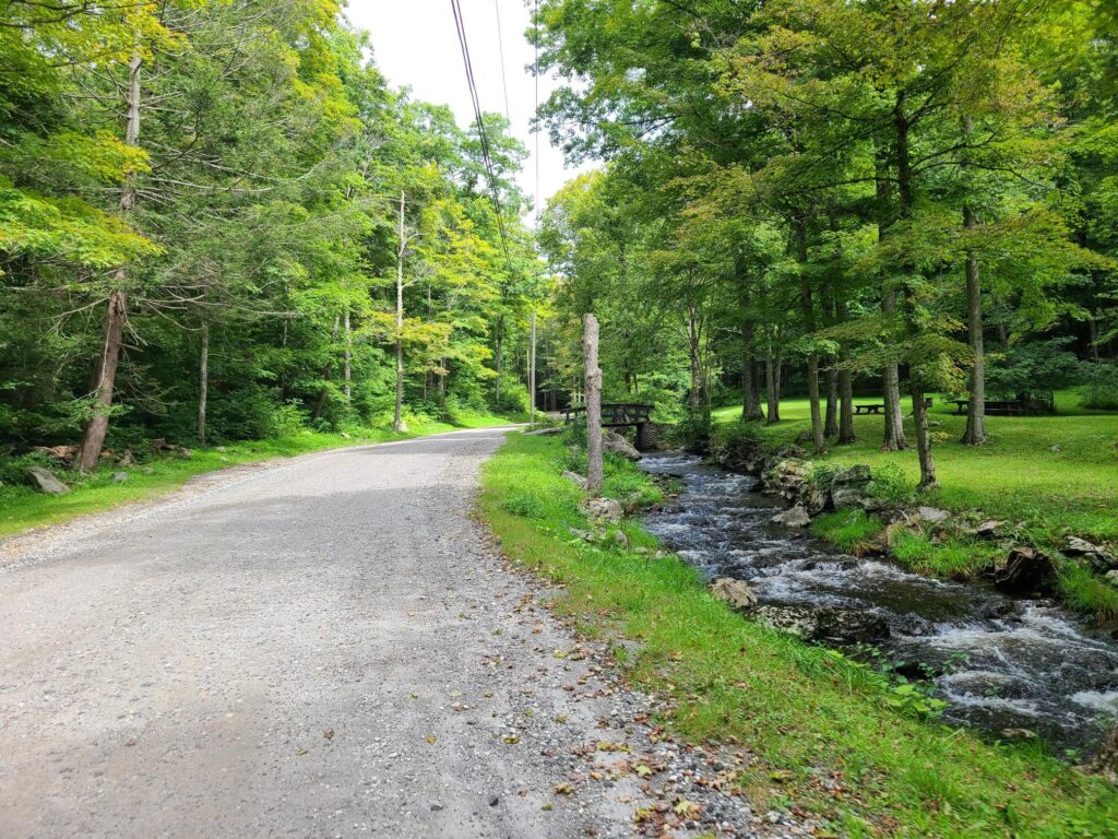
A dirt road with a brook running along the side

Fahnestock Park and Garrison Gravel Ride

On Saturday, Sept 25 a small group of riders left Cold Spring, NY to traverse the dirt and gravel roads around Fahnestock State Park and Garrison. Our route included virtually all of the true gravel roads in the region, which also meant tackling many of the longest and steepest climbs. Our route did not include the rough trails in the center of Fahnestock, which are more suitable to a mountain bike.

Overall, it was a beautiful ride. The weather was perfect, we spent much of the day traveling through forests, past ponds and streams, and through occasional farm country. We had lunch and replenished snacks and fluids at Boyd’s Corner Store/Deli at mile 30. After surviving all the climbs, we had a cold beer at Barber and Brew in Cold Spring. They had a few outside stools and no haircut is required to enjoy a good microbrew.

Notes about road conditions:
1) Expect some very steep grades (>20%) on some of the climbs and descents.
2) There were some very rough sections on those steep downhills (e.g. bad washboard), so keep your speed in check. One rider went down, but is okay.
3) Sunken Mine and Indian Brook roads: the gullies across the road were deeper and more numerous than I remember them in the past. Keep your eyes on the road ahead.
4) If you are looking for a still-challenging, but less intense version of this route, see here: ridewithgps.com/routes/37003811 . The alternative route has less gravel/dirt (sorry!), but adds a potential stop in pleasant Carmel Hamlet and skips some of the more ridiculous hills.

ROUTE (~64 miles with ~7000’ of climbing) :
https://ridewithgps.com/routes/37593227

ALTERNATIVE ROUTE (a bit easier, but still plenty of climbing):
https://ridewithgps.com/routes/37003811

-Steve

Dutchess and Litchfield Gravel Grinder (with Skiff Mountain climb)

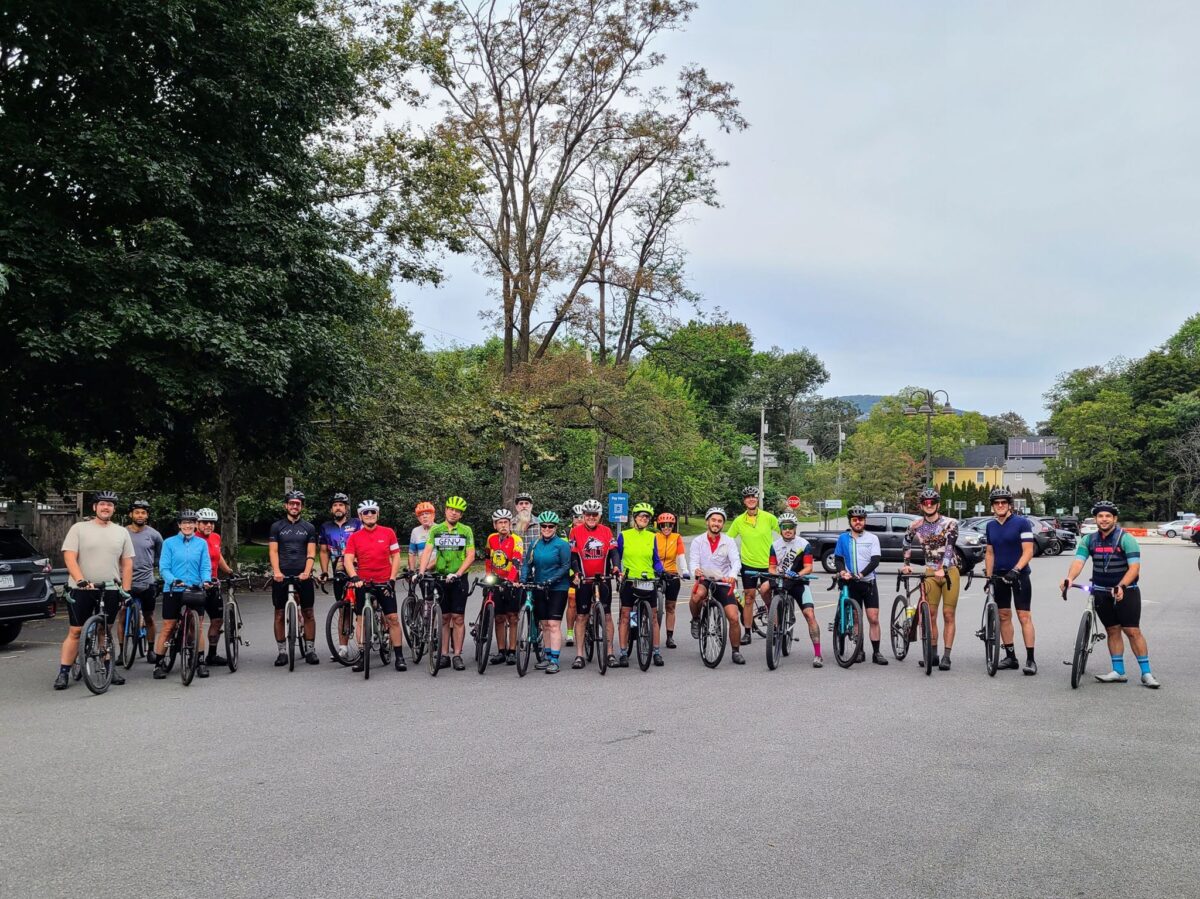
On Sunday, August 29, GrNY riders (including two new members) lined up to tackle either a 50+ or 80+ mile gravel route that included the challenging climb up Skiff Mountain near Kent, CT.

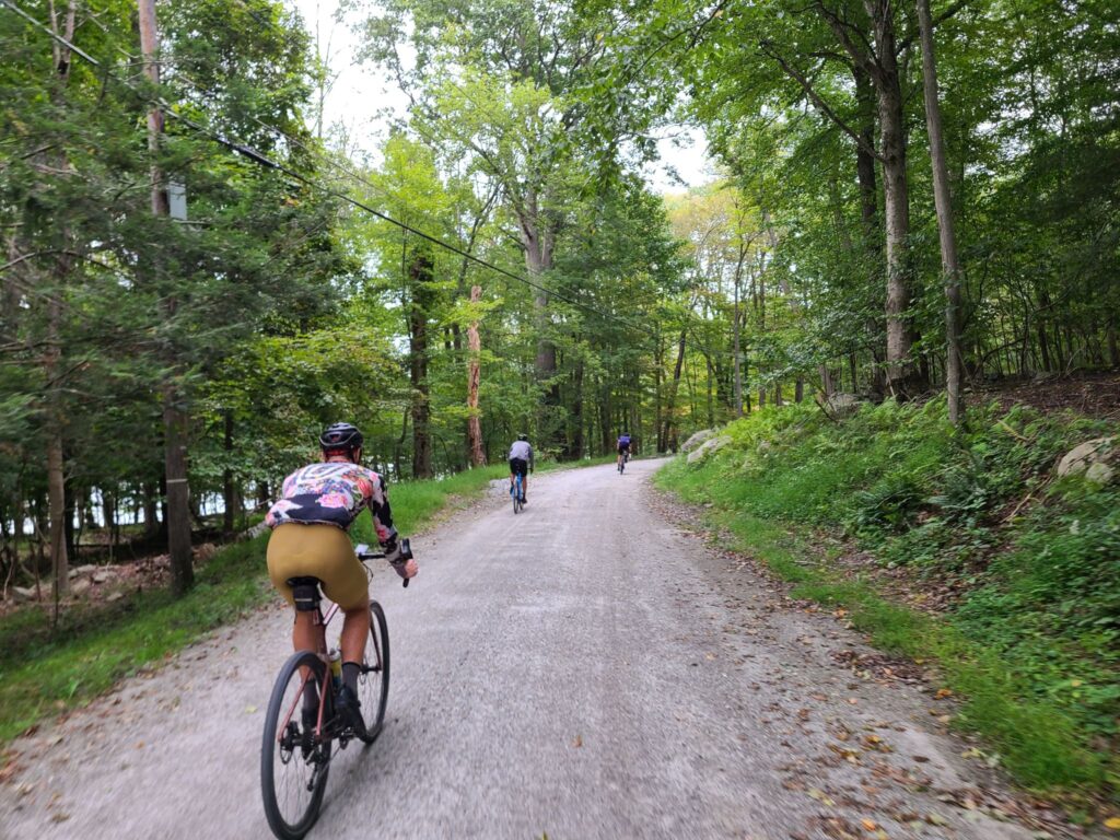
Overall, it was an awesome day out. We had good weather for riding (highs in the 70s and no rain, despite the gray skies); the roads were in better condition than we expected given Hurricane Henri the week before; everyone managed to complete the route (either 50+ or 80+ miles), and we covered some beautiful rural roads through farms, forests, and nature preserves.

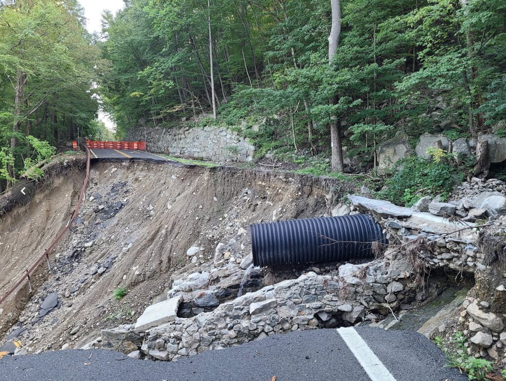
That said, the start of our ride didn’t go as planned! A running race led to the closure of the first part of our route. We managed to detour. About 9 miles from the start, we came to another closed road. The bridge was completely missing. Water pumps were running and there were no construction crews around, so we crossed the construction zone.

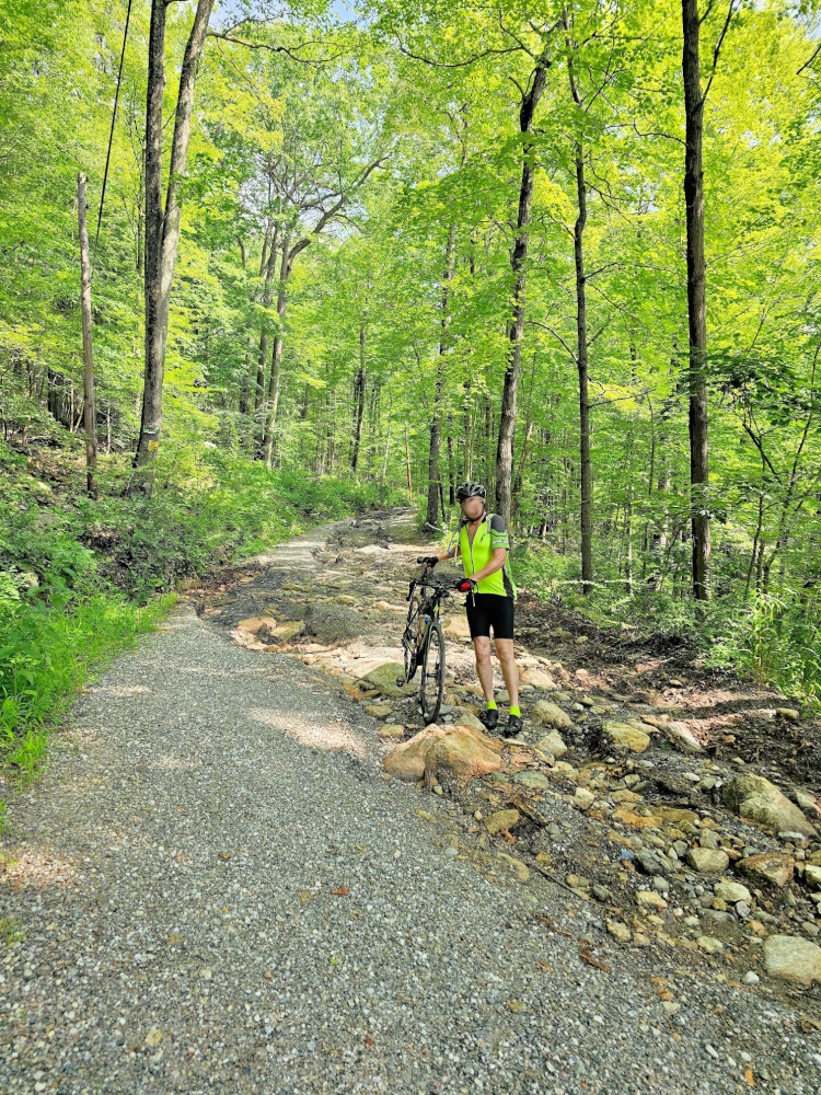
One of the ride highlights — or lowlights depending on how much time a rider spent riding vs walking — was the climb up Skiff Mountain via N Kent Road. This is a minimally maintained road that resembles a jeep trail more than the hard-packed dirt roads on the rest of the route. It is a significant climb (>1000’), it is very steep in places (up to 20%), and continues for a long way (2.5 miles at 9 to 10% average grade), but it is the loose surface that makes it particularly challenging.

A couple of us managed to ride the entire way (which definitely felt like an accomplishment). Others managed to ride most of the way, but had to walk the steepest or loosest sections (not enough traction). One or two riders probably spent more time walking. My only tips are to keep your weight back, try to pick good lines (i.e. look for the better-packed sections), spin smoothly, and otherwise try to keep your wheel straight (not turned) through the loose stuff. I was running 38mm slick tires, but I’m sure wider would have been better.

Splitting up: Soon after Skiff Mountain, around mile 26, we split into two groups. Some of us continued on the 80+ mile route, which travelled through picturesque dirt roads in Dutchess County, NY. Others stayed mostly within Litchfield, CT and passed through the beautiful Macedonia Brook State Park to complete 50+ miles on the day. The 50+ mile group confirmed that everybody made it and enjoyed the route. Our 80+ mile group put in a long, but enjoyable day on the bike, with our fuel tanks mostly drained by the end. Total distance was ~83 miles and between 7200’ and 7800’ of climbing depending on whose device and routing service you believe.

**ROUTES**
80+ mile route: https://ridewithgps.com/routes/37294061
50+ mile route: https://ridewithgps.com/routes/37294649
Our actual ride (83-miles): https://www.strava.com/activities/5874412401

NOTES:

  1. There was a bridge missing at mile nine.
  2. I updated the route to include our short “spurs” toward the few food/water stops that exist along the way.

Steve (track.smart@gmail.com)

Dutchess County farm country.
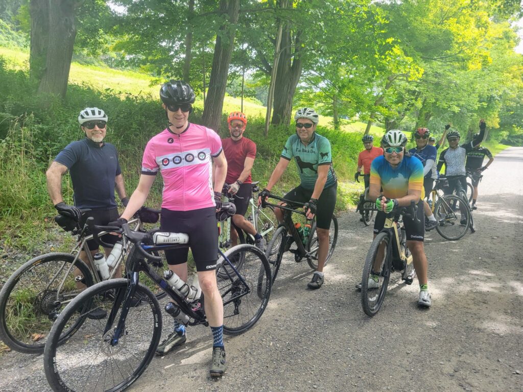
Riders (minus the photographer, Brian)
Dirt roads. Sorry, but I don’t have any photos of the road up Skiff Mountain. I was working hard just to stay upright!
More farm country (Dutchess County)
Rolling hills of forest and farm.
Where’s the bridge?
Galloping Horses