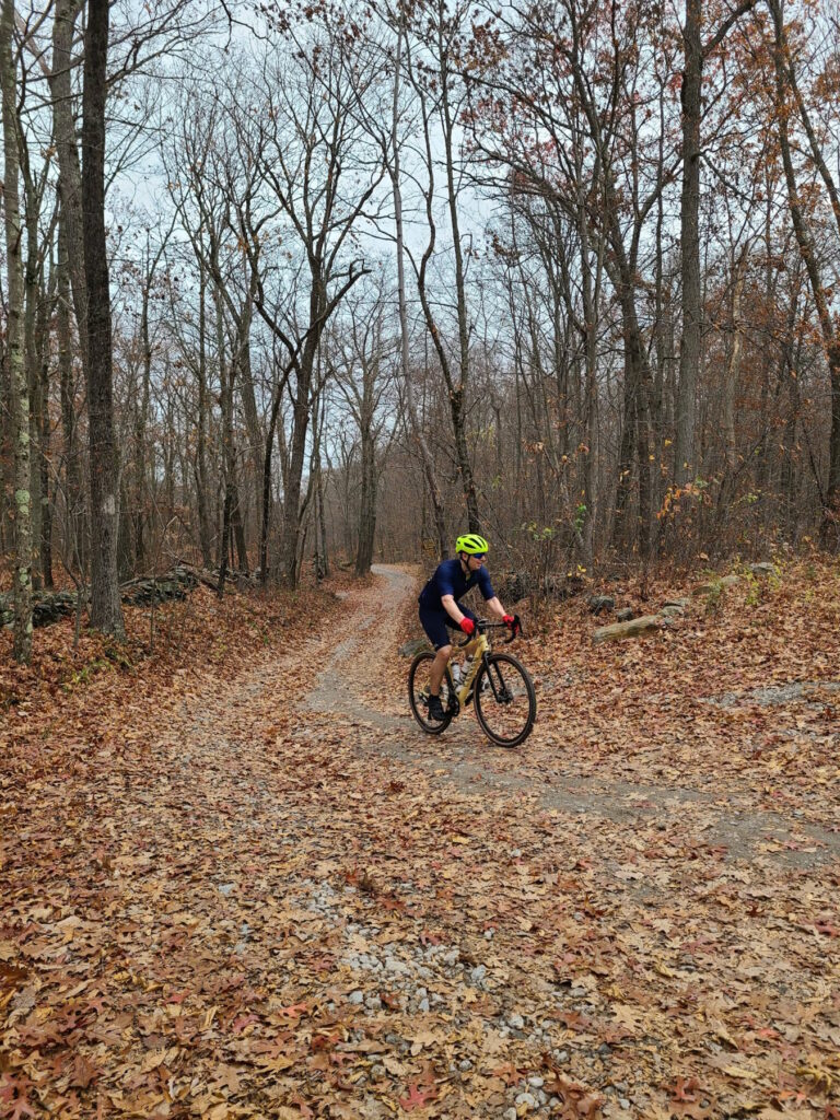
In addition to turning back the clocks, on November 6, 2022 a group of GrNY riders tackled a gravel ride of 79 miles and over 7,000 ft of climbing (or a truncated 65 mile version). This ride offered a bit of redemption, because the previous time we did this route was in early March, when we encountered many miles of snow-covered back roads. The ‘normal’ dirt roads were fine that previous day in March, but the closed-for-the-season dirt roads had not yet melted. Live and learn!
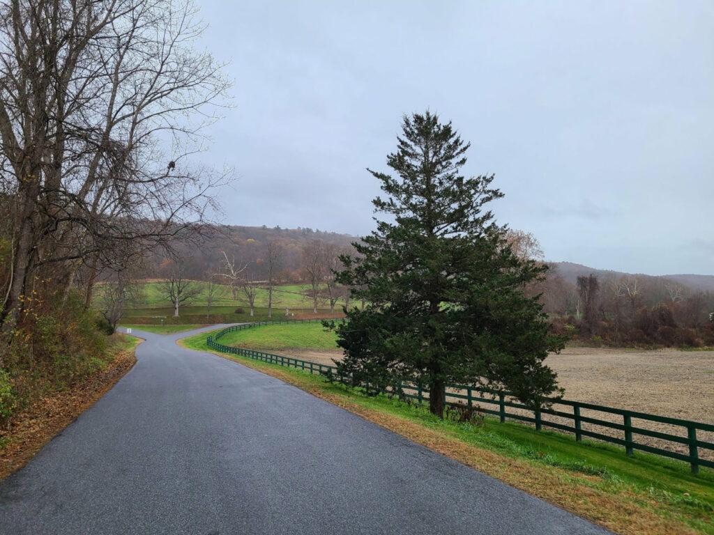
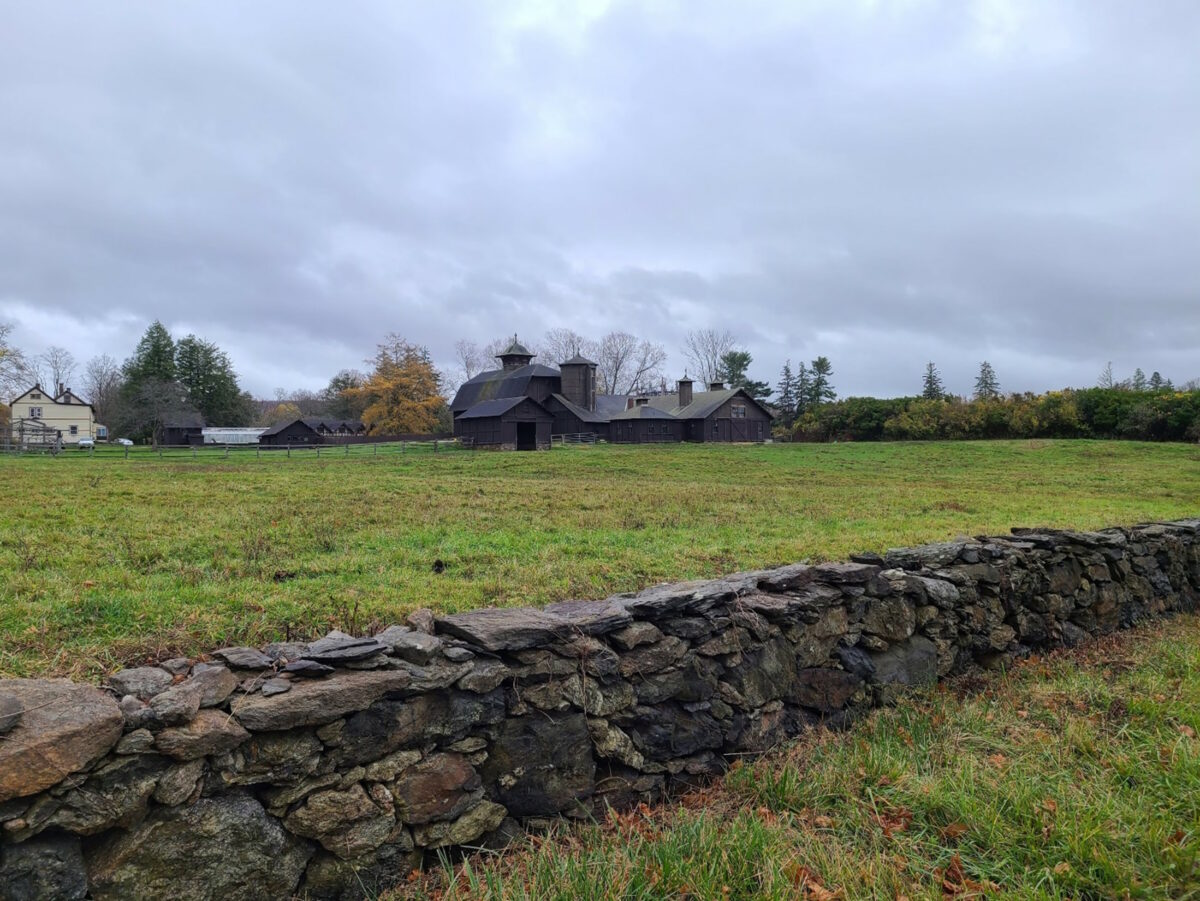
Overall, this was a fun day out and a great first GrNY ride since my (Steve’s) return from Colorado. It was a beautiful route with a mix of rural dirt and paved roads. And it was such a wonderfully warm day. It was hard to believe it was November. Some of us celebrated with beer and pizza after the ride and both tasted mighty fine after our efforts.
There were a few minor imperfections on the day, but they didn’t dampen our spirits (even if they did dampen the roads!). The weather turned a bit wet and misty during the second half of our ride, but on such a warm day it really wasn’t much of a bother. And the first part of our ride, Pugsley Rd, was in the process of being redeveloped so it was a sketchy trek through an in-progress construction zone. Thankfully, there was no active work on this weekend morning. Say farewell to the formerly- quiet, and formerly-dirt Pugsley Rd! It will soon be paved and have a huge warehouse operation, a large recreation center, and lots of truck traffic. You may need to choose an alternate route to start this ride if construction is still underway.
The top “loop” of this ride has much more gravel than the bottom loop, especially now that Pugsley Rd is no longer dirt. It might be time to develop a better route that no longer starts from Brewster.
ROUTES:
– Full, 79 mile version: https://ridewithgps.com/routes/41370685
– Shortened 65 mile version: https://ridewithgps.com/routes/41370810
ACTUAL RIDE: https://www.strava.com/activities/8079592997
WARNING: After emerging from Penny Rd onto pavement you will encounter a crazy steep downhill. Go slow! One rider almost lost control. I guess I wasn’t clear enough when I tried to warn folks.
Note: This version of the 79-mile route switches the direction of the “top loop”. This is a change for the better. First, it puts our lunch spot (Kent, CT) at mile 35.5, which is better timing. Second, it allows for a shortened 65-mile route that keeps everyone together until lunch time. Third, it allows us to ride *up* Macedonia Brook State Park, which means you get more time to enjoy the lovely scenery, rather than bombing down it at high speed.


