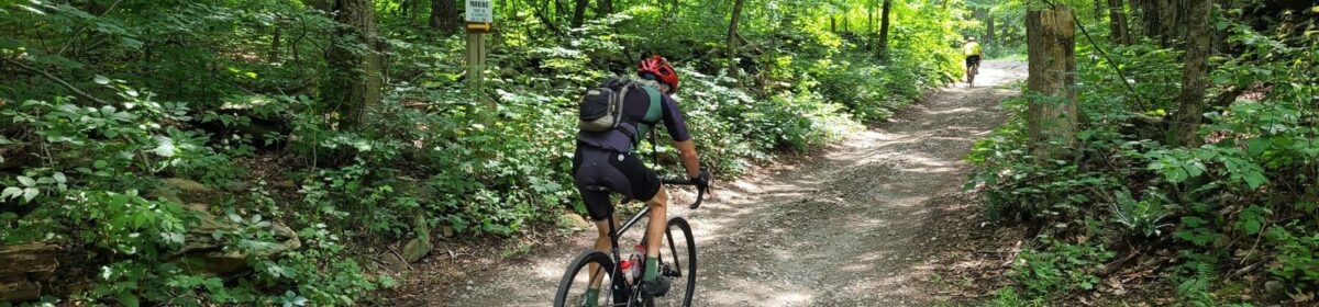
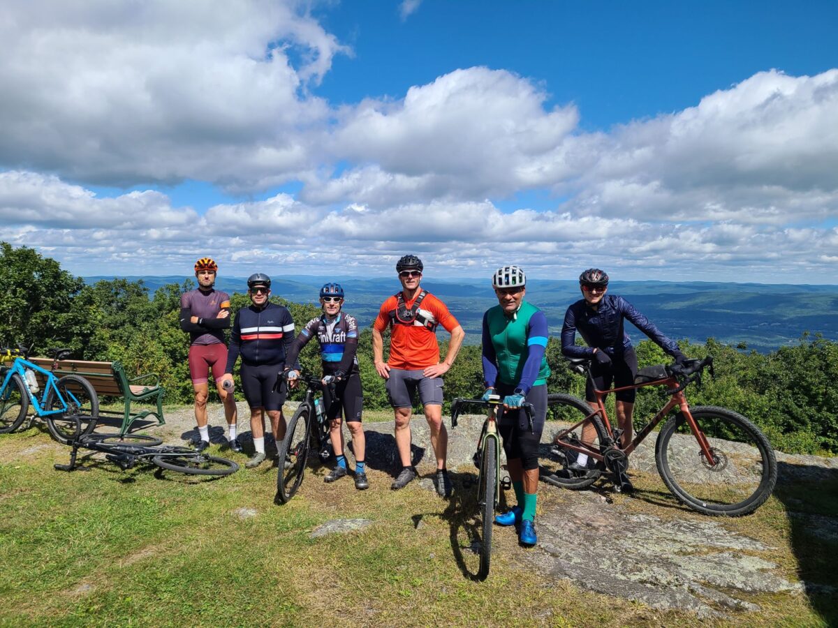
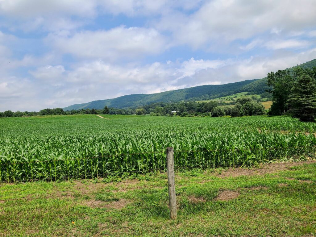
Spectacular day of riding with some GrNY regulars. We had perfect weather and a beautiful course! This ride included the core of the Berkshires-Riga-Sunset Rock route, but we started in Wingdale, NY, which is closer to NYC. The route includes an optional spur (mile 50, in blue) to the top of Mt Everett. Everyone was feeling good and did the extra climb, though not everyone maintained traction for the steepest section near the end (i.e., a few riders needed to walk a short distance). The road up to Mt Everett is steep, particularly the last 0.5 mile dirt section near the top, but there are good views as payoff.
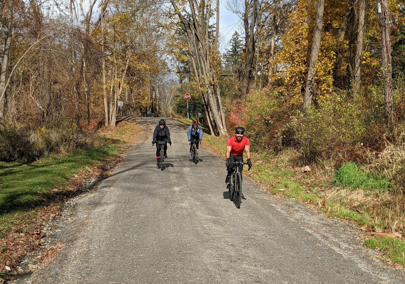
In addition to turning back the clocks, on November 6, 2022 a group of GrNY riders tackled a gravel ride of 79 miles and over 7,000 ft of climbing (or a truncated 65 mile version). This ride offered a bit of redemption, because the previous time we did this route was in early March, when we encountered many miles of snow-covered back roads. The ‘normal’ dirt roads were fine that previous day in March, but the closed-for-the-season dirt roads had not yet melted. Live and learn!
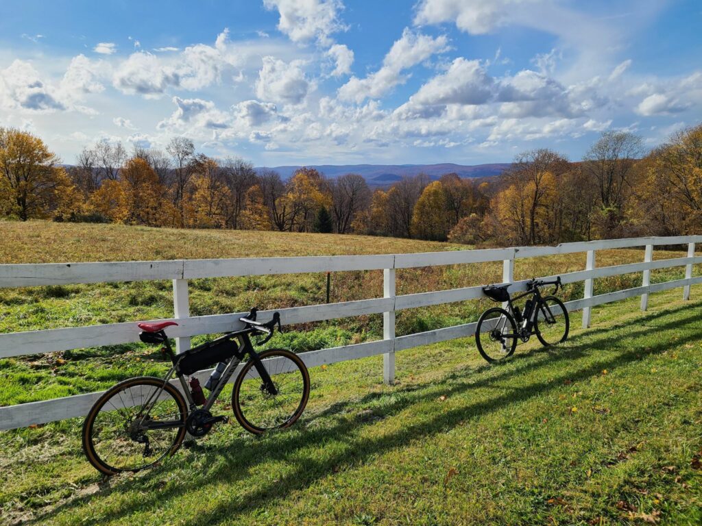
Overall, this was a fun day out and a great first GrNY ride since my (Steve’s) return from Colorado. It was a beautiful route with a mix of rural dirt and paved roads. And it was such a wonderfully warm day. It was hard to believe it was November. Some of us celebrated with beer and pizza after the ride and both tasted mighty fine after our efforts.
There were a few minor imperfections on the day, but they didn’t dampen our spirits (even if they did dampen the roads!). The weather turned a bit wet and misty during the second half of our ride, but on such a warm day it really wasn’t much of a bother. And the first part of our ride, Pugsley Rd, was in the process of being redeveloped so it was a sketchy trek through an in-progress construction zone. Thankfully, there was no active work on this weekend morning. Say farewell to the formerly- quiet, and formerly-dirt Pugsley Rd! It will soon be paved and have a huge warehouse operation, a large recreation center, and lots of truck traffic. You may need to choose an alternate route to start this ride if construction is still underway.
The top “loop” of this ride has much more gravel than the bottom loop, especially now that Pugsley Rd is no longer dirt. It might be time to develop a better route that no longer starts from Brewster.
WARNING: After emerging from Penny Rd onto pavement you will encounter a crazy steep downhill. Go slow! One rider almost lost control. I guess I wasn’t clear enough when I tried to warn folks.
Note: This version of the 79-mile route switches the direction of the “top loop”. This is a change for the better. First, it puts our lunch spot (Kent, CT) at mile 35.5, which is better timing. Second, it allows for a shortened 65-mile route that keeps everyone together until lunch time. Third, it allows us to ride *up* Macedonia Brook State Park, which means you get more time to enjoy the lovely scenery, rather than bombing down it at high speed.
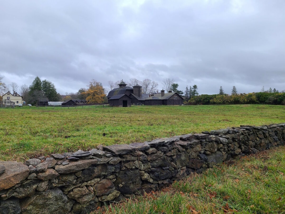
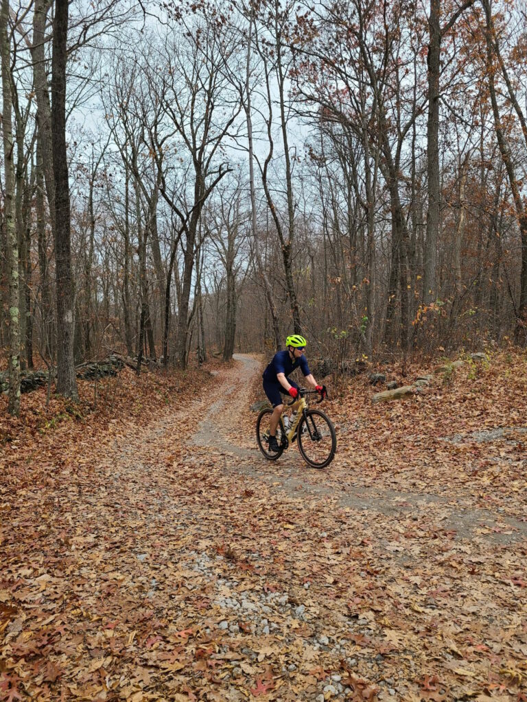
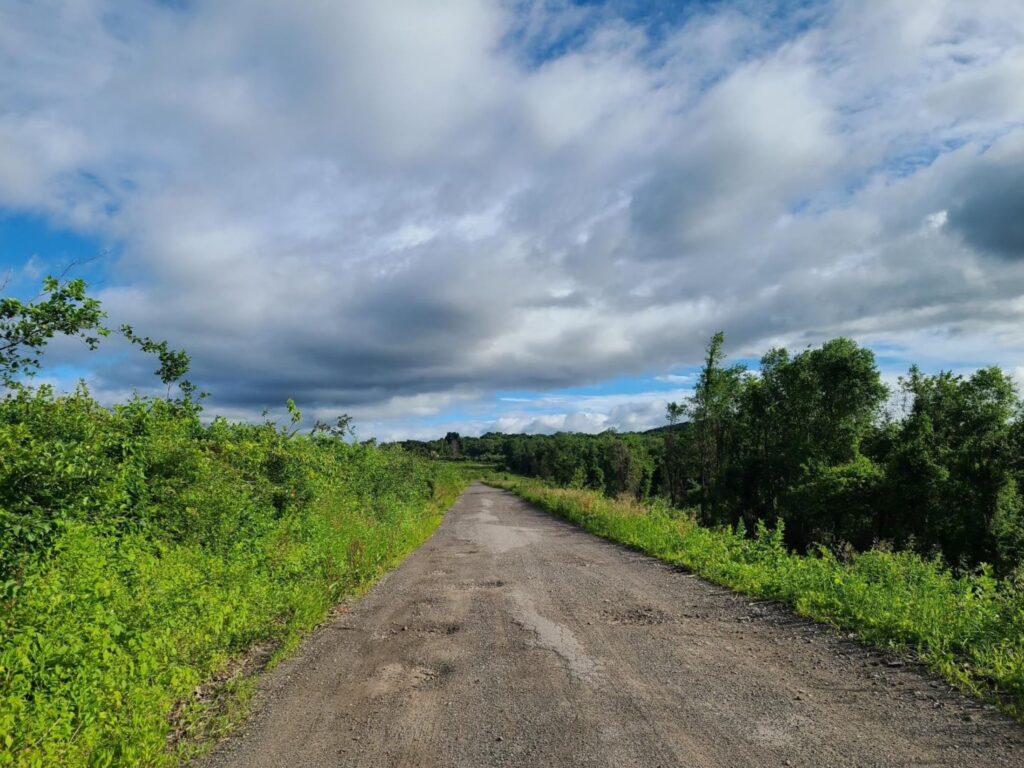
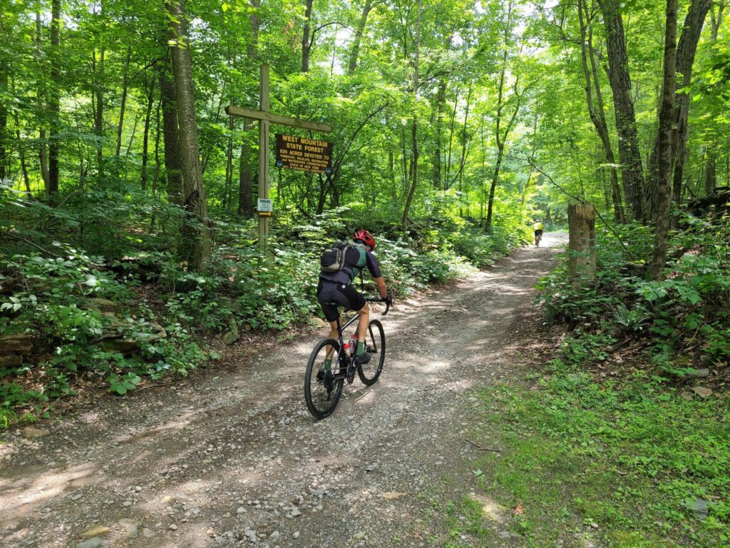
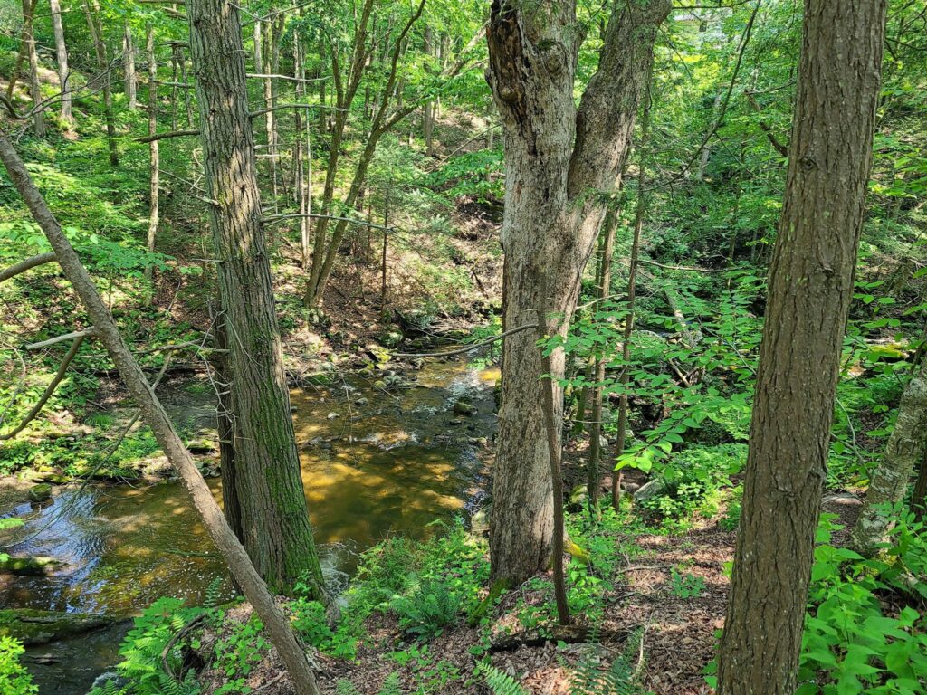
Tackling the climb inside West Mountain State Forest on the way to Penny Rd. Penny Rd is definitely not a road anymore! It is a rough forest trail, but doesn’t last for long.Foggy road through rolling farms and forests.
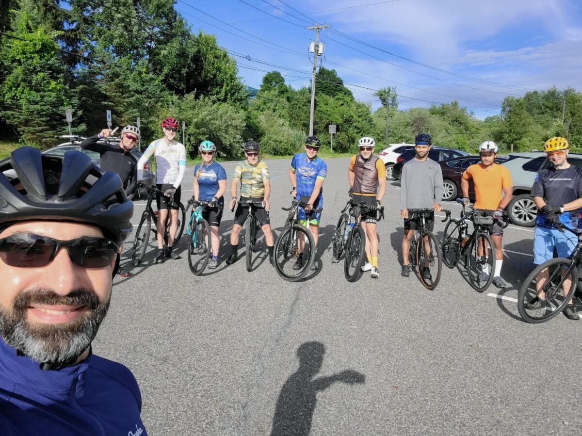
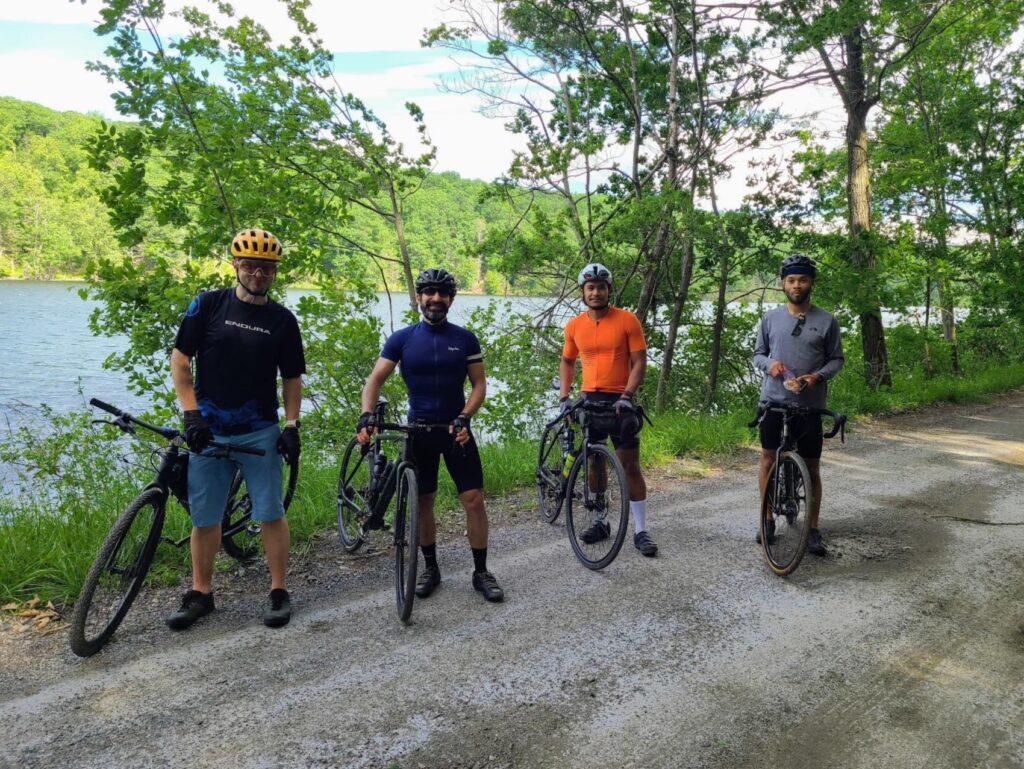
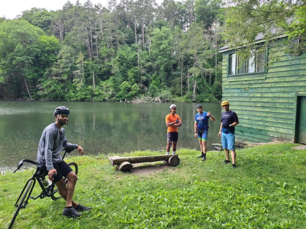
On June 18, 2022, GrNY riders started near Brewster, NY and headed northward across Putnam and then into Dutchess County, NY. It was absolutely perfect weather for riding! The high temperature was around 68 degrees with just enough cloud cover to make for dramatic photos, but there was no rain. A medium-speed group, led by Kathy, tackled 50 miles with 4800 ft of climbing. A faster group, led by Steve, rode 66 miles with 6000 ft of climbing.
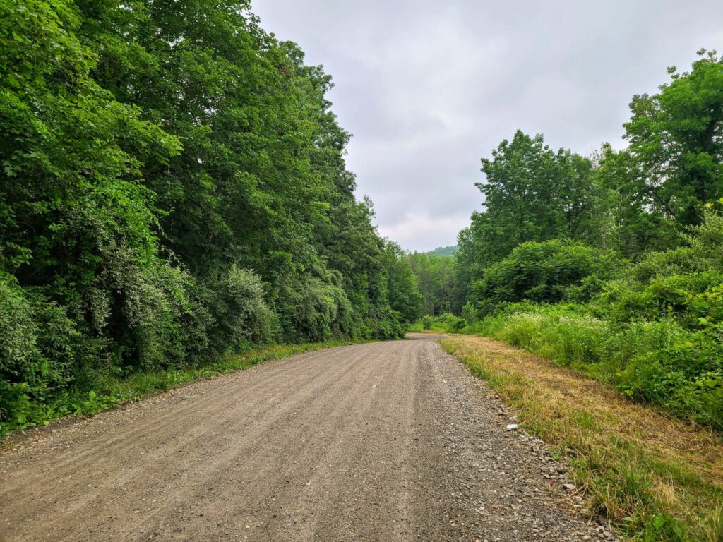
Overall, this was a beautiful mixed-surface ride with stretches of dirt road, rural paved roads, and some very short sections of rougher forest trail. There were great views throughout the ride. Both routes are highly recommended. Tires of 35mm width are plenty for most of the ride, but some folks probably appreciated wider tires for the short trail sections. Be forewarned that both routes had considerable climbing. For the medium group, the hardest climbs came in the first half (ideal). For the faster group, the climbs were more well-distributed, with one of the tougher climbs appearing 51 miles into the ride. That said, both groups had to climb back up Bullet Hole Rd near the end of the ride, which probably seemed like a bigger climb than it really was, given everyone’s tired legs.
The goal for both groups was to end at the same time, despite the different distances traveled. This almost worked, but not exactly! The *moving time* of both group leaders was within about 15 minutes of each other, which was well-planned. However, we “laggards” in the faster group took our lunch break during the ride, while the medium speed group only stopped briefly and ate more substantially at the end of the ride. Now I know why Kathy’s group got back so much quicker! The medium-speed group was happily enjoying cold drinks when we joined them at the post-ride meeting spot. We had some well-earned cold beers ourselves when we got there.
Things went well on both rides, with one minor exception. For the faster/longer distance group, I originally planned for us to filter water around mile 19 (to top off our water bottles), but with 25 riders signed-up by mid-week, that seemed like it might be too inefficient. Instead, I added some extra distance for a stop at the General Store near Bulls Bridge in South Kent, CT. Unfortunately, it was closed! We searched around and eventually made use of a convenient water tap at a nearby inn (they were nice about it). Note for future riders of the longer route: Bring plenty of food and water!
ROUTES:
Medium Speed (50 miles, >4500′): https://ridewithgps.com/routes/32953734 Food and water stop at mile 26 (Cousin’s Deli, Pizza, and Bakery) A second food/water stop possible at mile 42 (Squaro’s Town Square Pizza).
Faster Speed (65 miles, >5000′): https://ridewithgps.com/routes/39539451 Bring plenty of water and food! The first reliable stop is around mile 47 (gas stations with Cumberland Farms / Dunkin) or mile 50 (good pizza by the slice + deli). Alternatively, future riders could detour to Wingdale around mile 24, which adds a few extra miles, but has more reliable
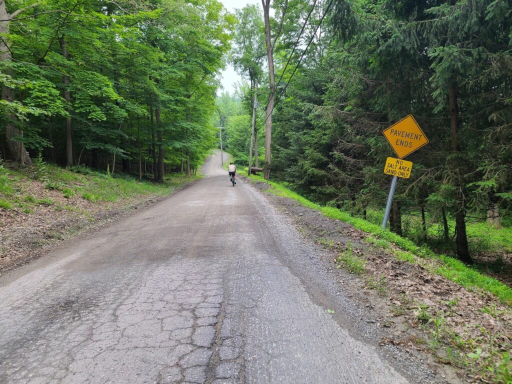
NOTE FOR THE FUTURE: Almost immediately across the street from the Park & Ride (i.e. starting location) is Pugsley Rd, which is currently rural and dirt. HOWEVER, all of the trees have been cleared for the first 1/2 mile and the entire area is slated for a huge warehouse and distribution center. It sounds like Pugsley Rd will soon be a busy, paved trucking road and the current intersection will be widened to 4 lanes with turn signals. There will also be a huge sports complex on some of the land they are clearing. Hundreds of trucks per day will flow through that area (distribution center) plus hundreds of cars on weekends (sports complex). I’ll miss this peaceful rural road that somehow began right from the heart of concrete and sprawl. Enjoy it while it lasts!
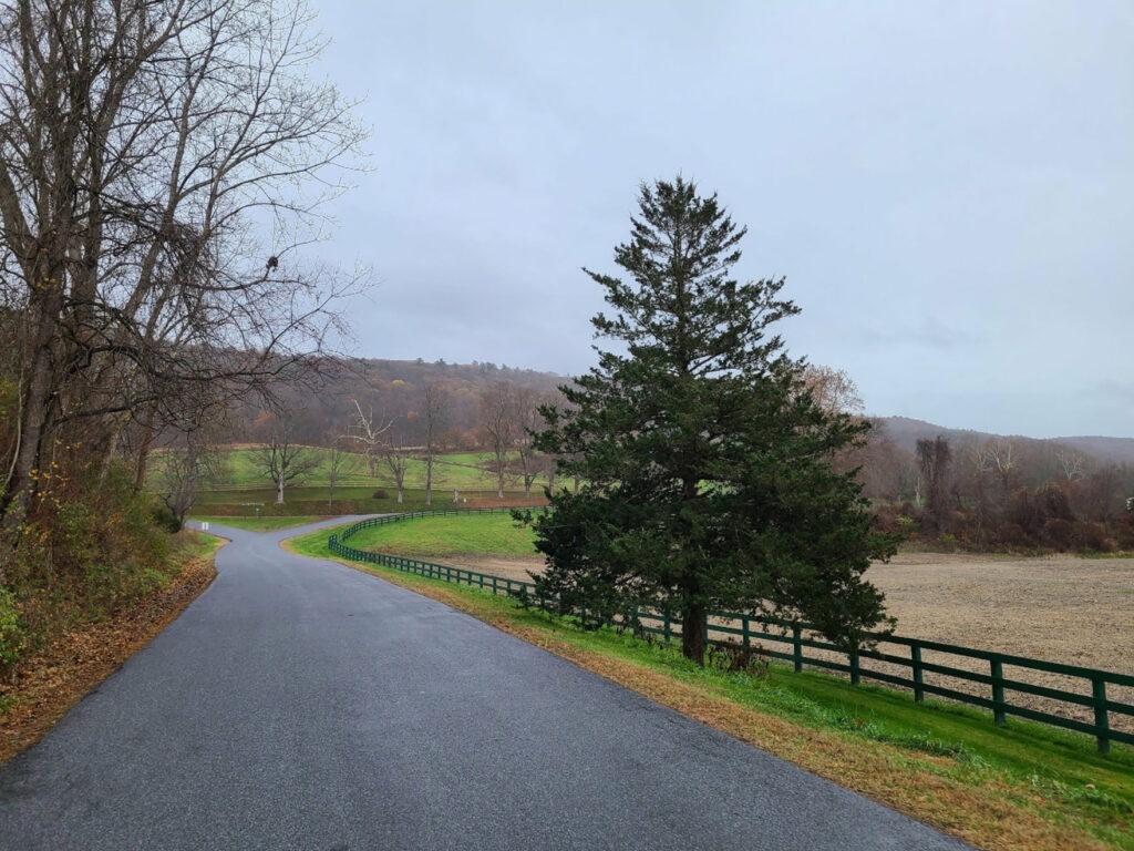
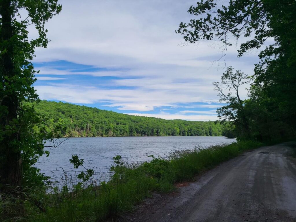
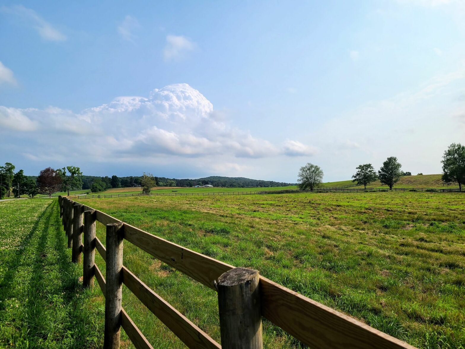
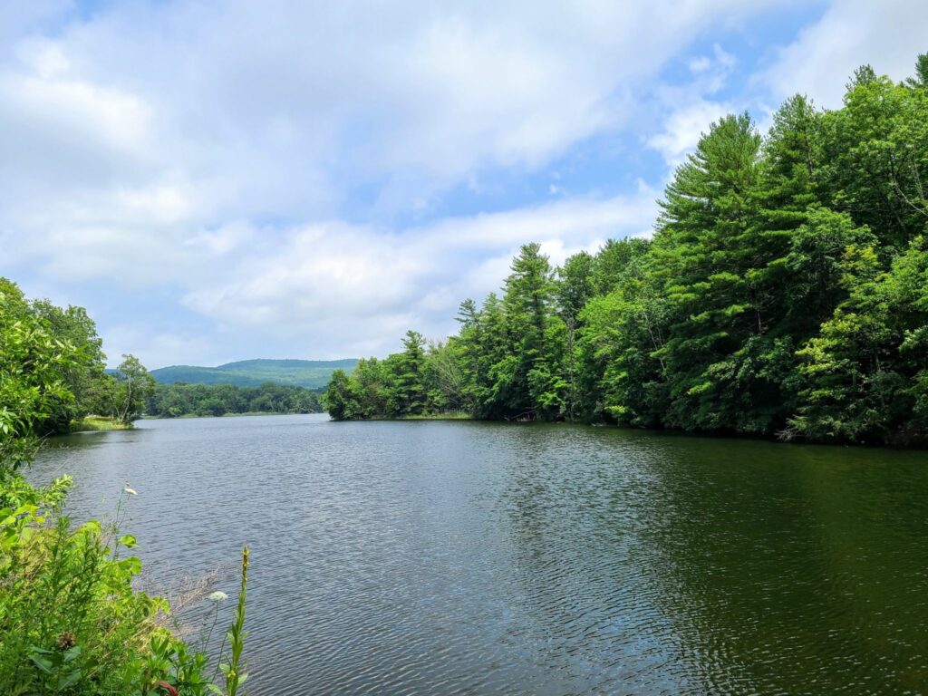
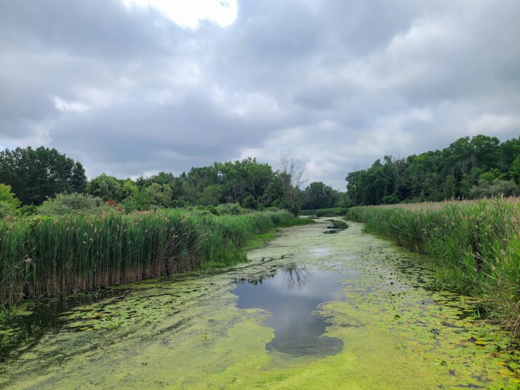
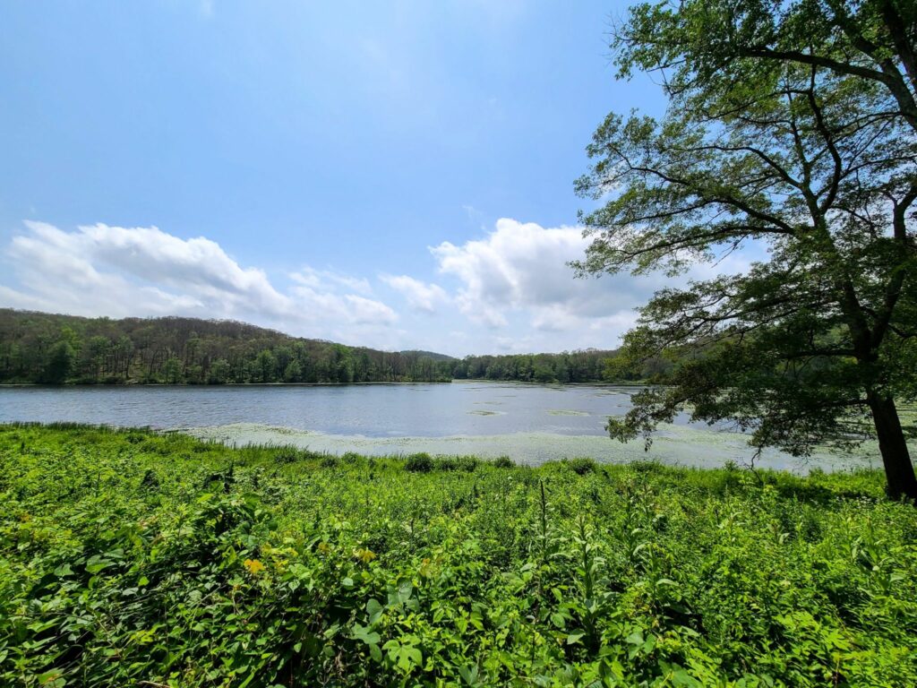
Pugsley Rd (enjoy it before they pave it!)Quaker Lake (near Pawling Nature Preserve)Quaker LakeRural roads near Tenmile River PreserveTaking a breather in Tymor Park, which has some fun dirt trails.
This past Saturday, we dragged ourselves out of bed early so we could ride before a predicted afternoon storm. We enjoyed some excellent dirt riding through forests and across ridges with stunning views. And we managed to complete the entire ride before some nasty weather rolled in.
Our original route would have been 77 miles (see notes for the Brewster to Wassaic ride earlier this year), but we shortened it to 47 miles in light of the weather. We also moved the start location to Wingdale, which is near the center of this “figure 8” shaped ride, so we could easily bail if the storm arrived early. Thankfully, we completed this beautiful ride before the skies opened up with pouring rain, heavy winds, and even hail in some places.
I’ve pasted our shortened route below, because sometimes folks are looking for rides that don’t require an entire day to complete.
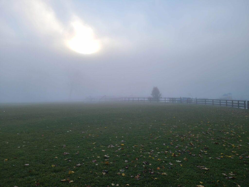
This is what it looked like in the morning at the ride start. The sun hadn’t fought its way through the mist yet.It turned into a beautiful day. At least until the storms rolled in later! We finished at the right time.
This event was on July 5, 2021: Overall, it was a challenging, but very rewarding ride to celebrate the Fourth of July weekend. The route included paved sections, gravel sections, a short section of forest trail (around mile 22), and several challenging climbs followed by memorable descents.
All riders started together in Brewster, tackled the wild Penny Lane forest trail, then continued to our lunch stop in Wingdale. We picked up an additional rider who took the same train to Brewster and was using our route as a jumping-off point for his bike trip to the Berkshires. Cousins Bakery/Pizzeria was closed for the holiday, so we had to make do with the deli/Dunkin Donuts/Mobile Station just down the road. Normally, Cousins provides some nice baked goods for bringing up the blood sugar! Around mile 28/29 our “extra” rider continued on his route, a second rider headed back towards Brewster to complete the 50 mile loop (and get home a bit earlier), while the rest of the group committed to the full 77 mile route.
RidewithGPS estimated the route at 6000’, but all of our devices registered well over 7000’ of total climbing on the day. Those climbs earned us some beautiful views and fun, roaring descents. Everybody survived the route, though some suffered a bit more than others on the climbs.
For future riders of this route: There are no stores of any kind from mile 26 to mile 69 (43 miles total), so we tried to fuel up during our pitstop in Wingdale. We used my portable water filter to top-off our water bottles around Macedonia Brook State Park, since it was a hot day. Come prepared with everything you need for that stretch of the ride!
[FYI: Strava removes all “events” from our feed once they have passed. I sometimes post “ride reports” so GrNY members can learn about past rides and hopefully try those routes themselves.]