Riga, Sunset Rock, and the Berkshires

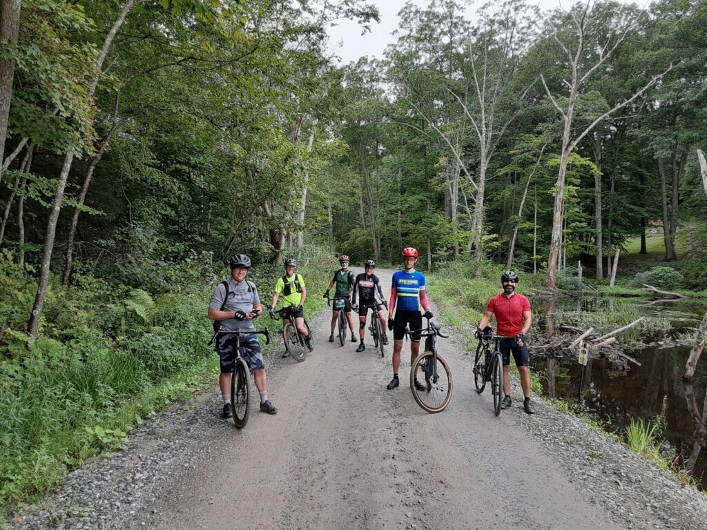
On June 24, 2022, a group of GrNY riders completed this epic ride to celebrate 2x Peter’s birthday (plus some extra miles to make it an even century). It was also a great sendoff before I head to Colorado for the rest of the summer. The upper ~65 miles come from Mark L’s excellent 2021 Riga route. I did an 80-mile version of this route last summer and knew that I needed to return!

Route Description:

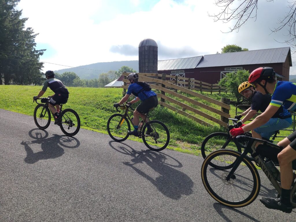
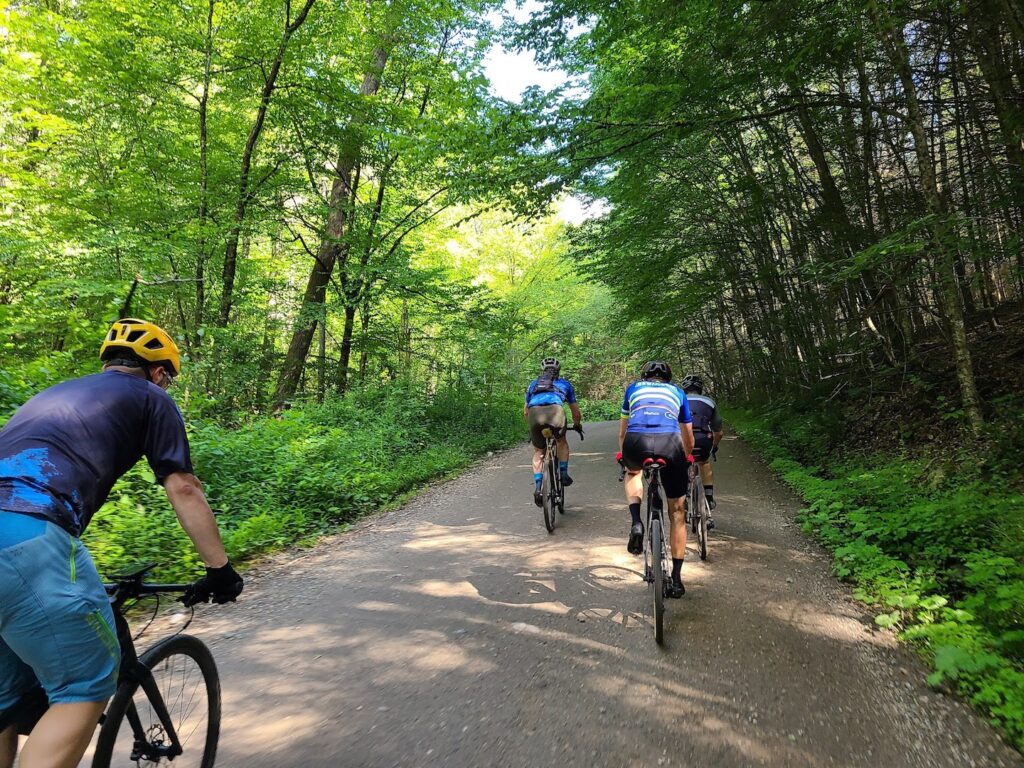
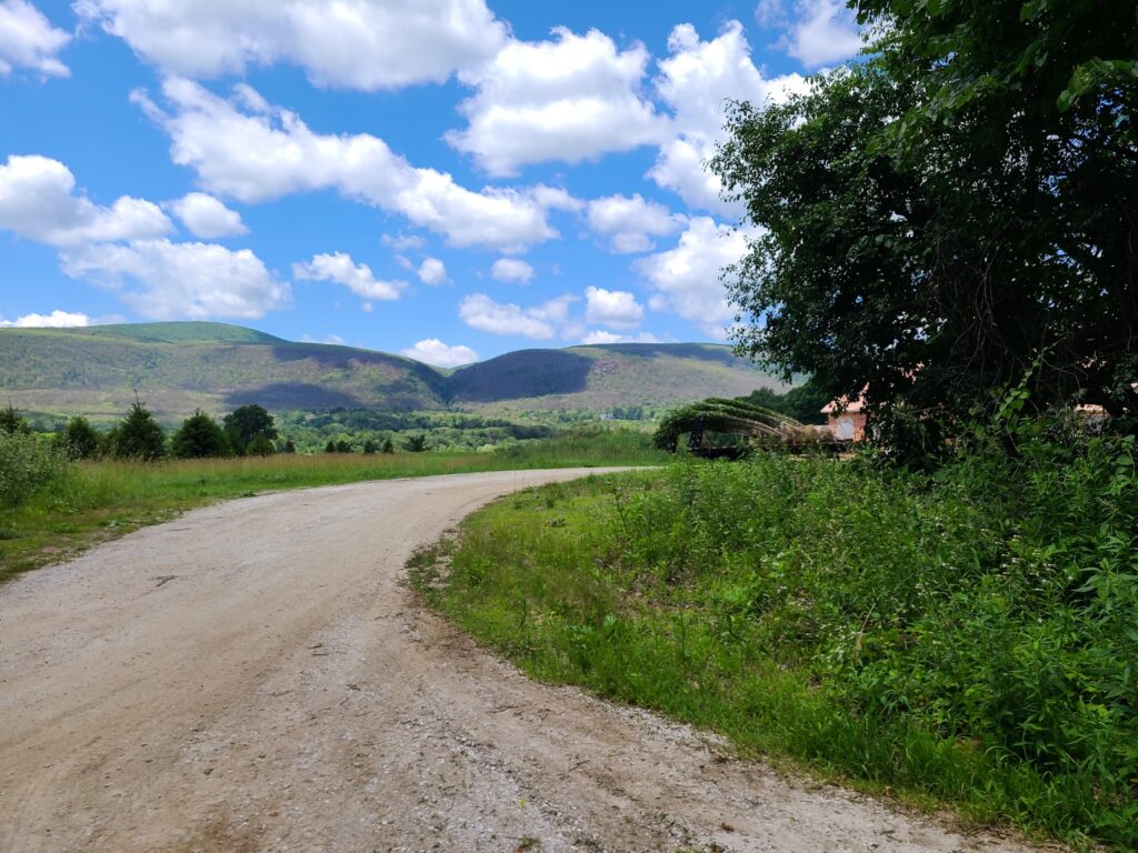
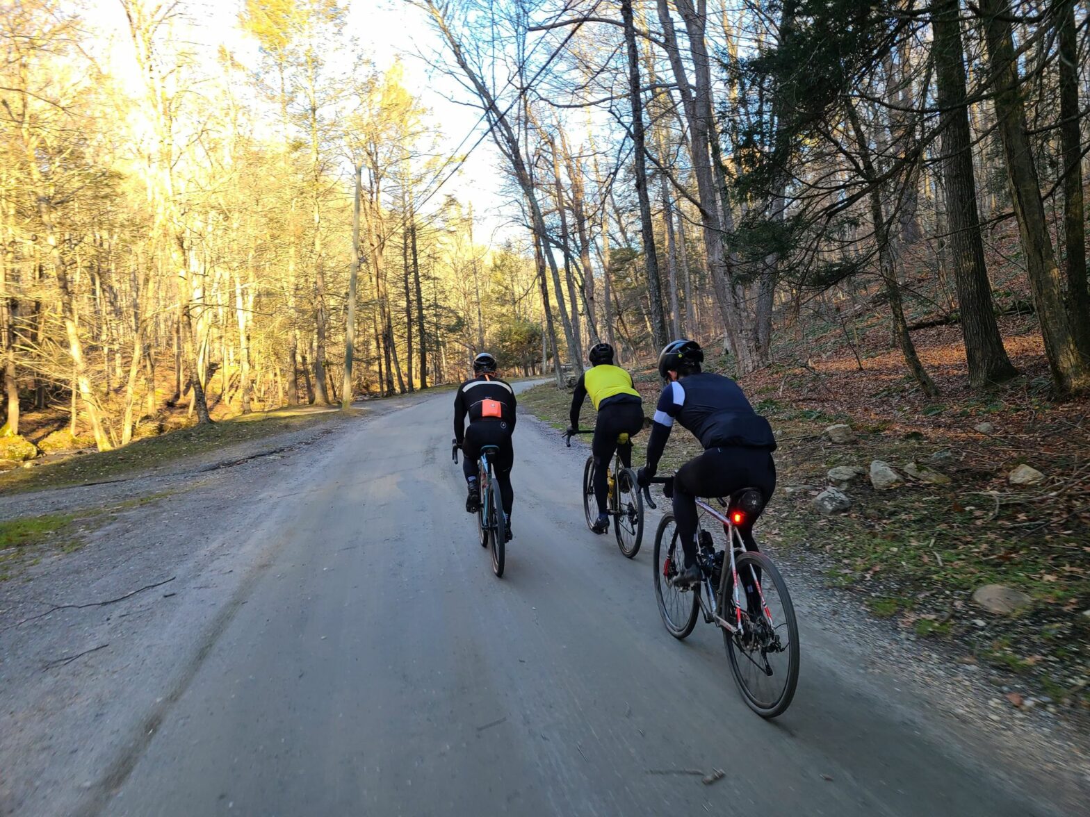
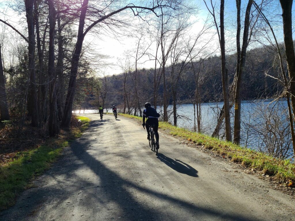
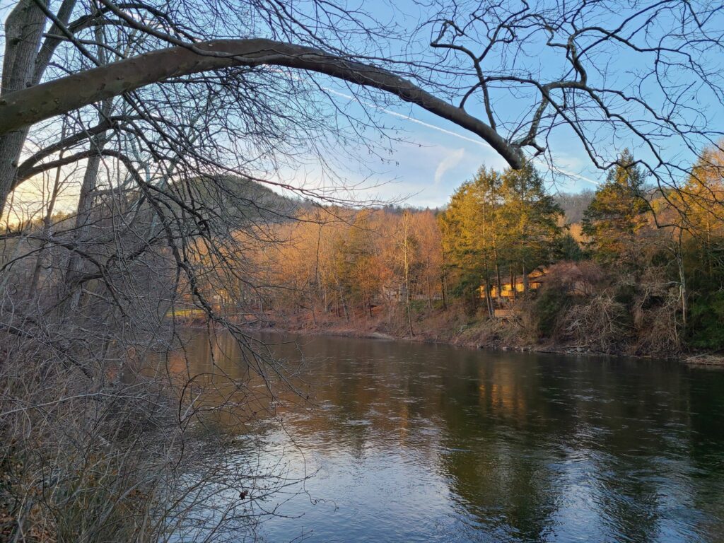
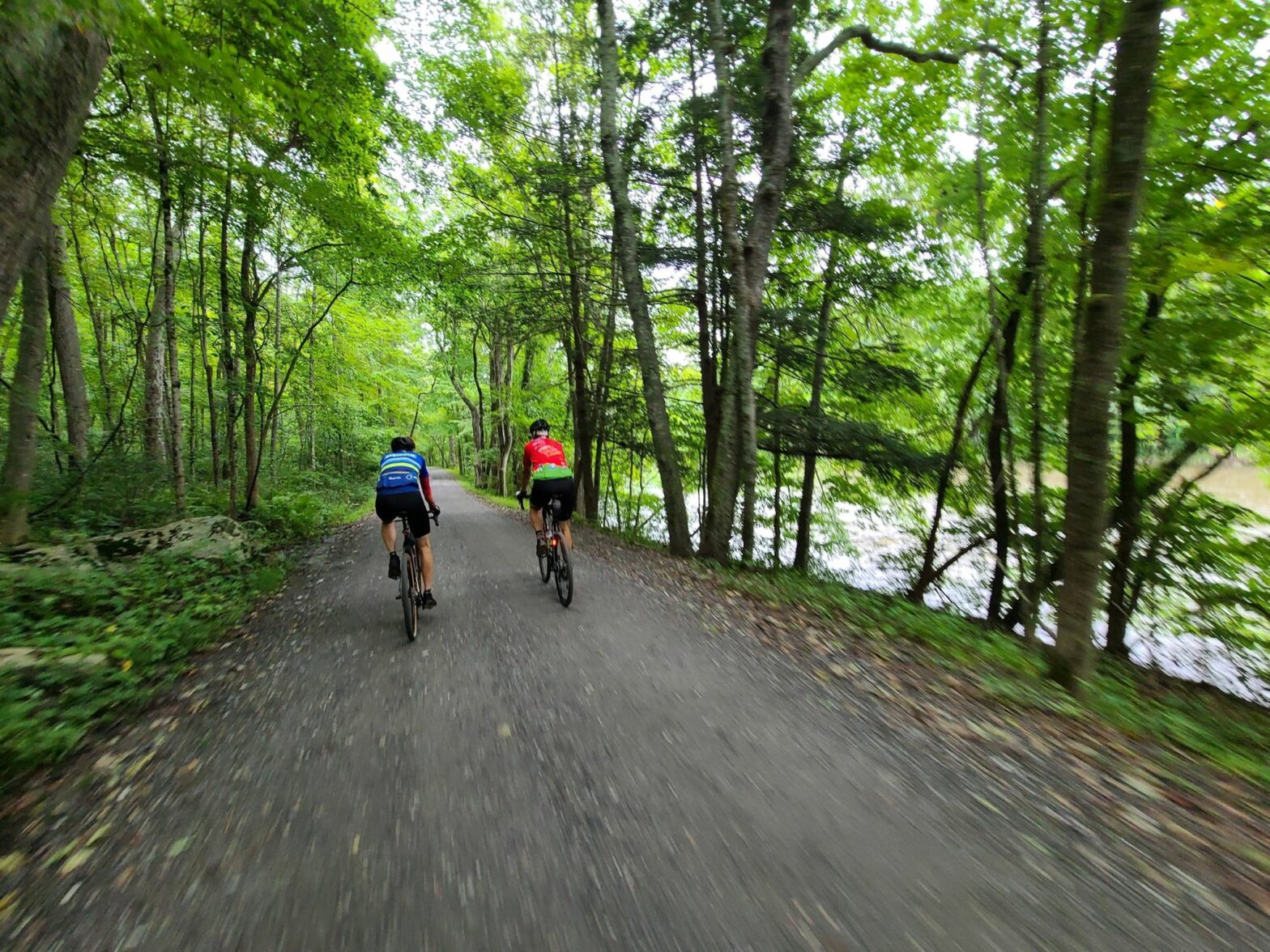
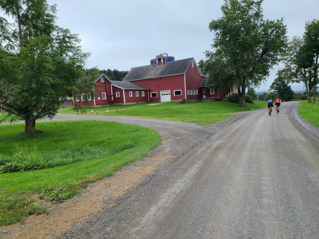
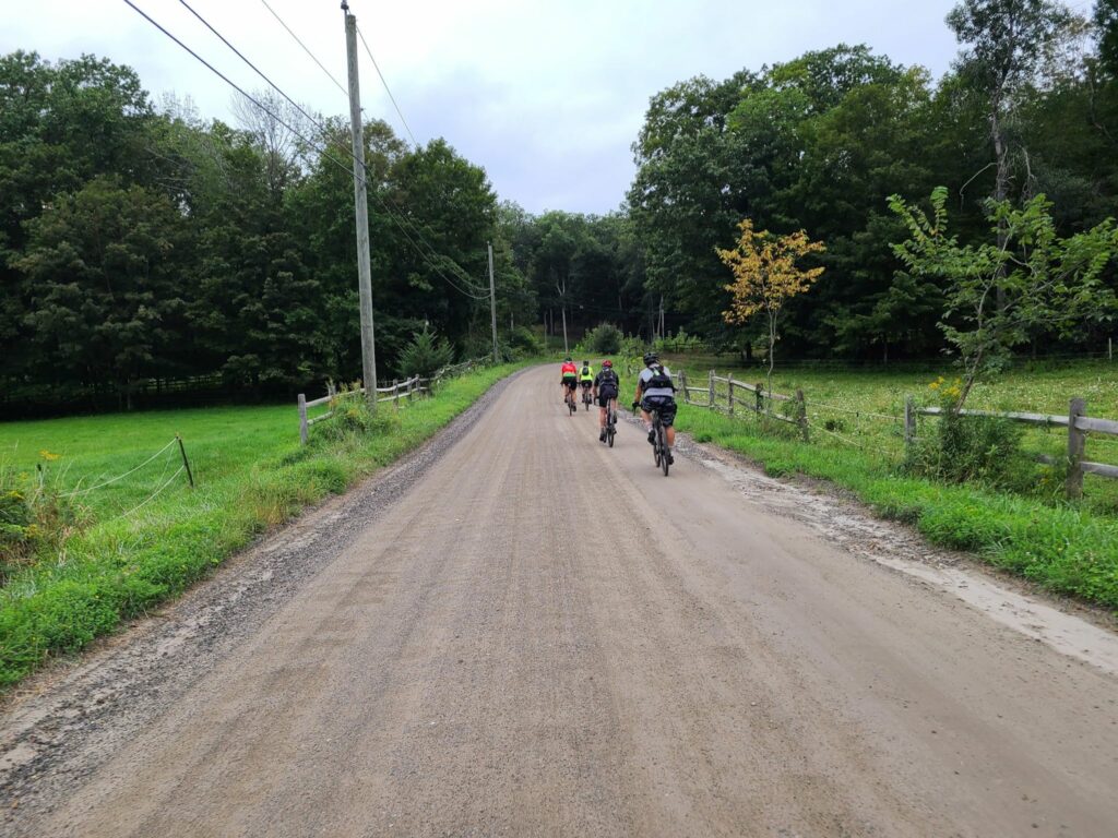
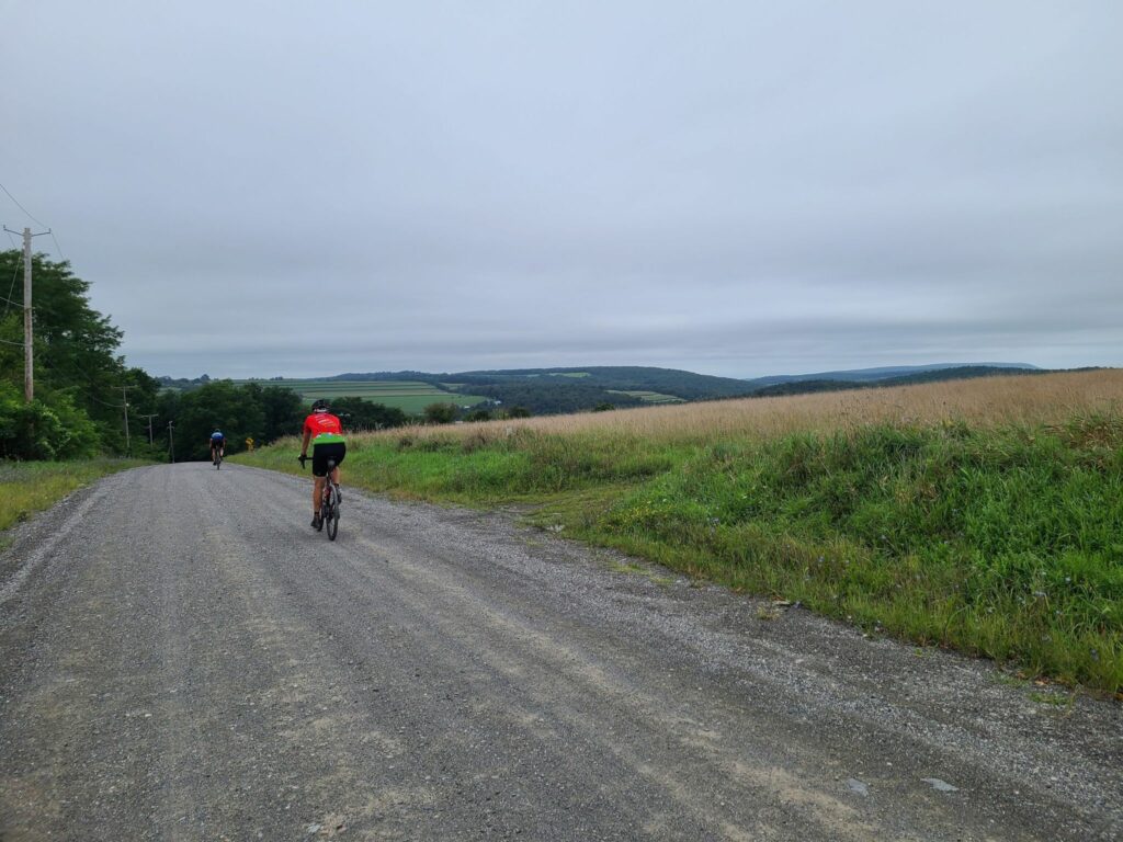
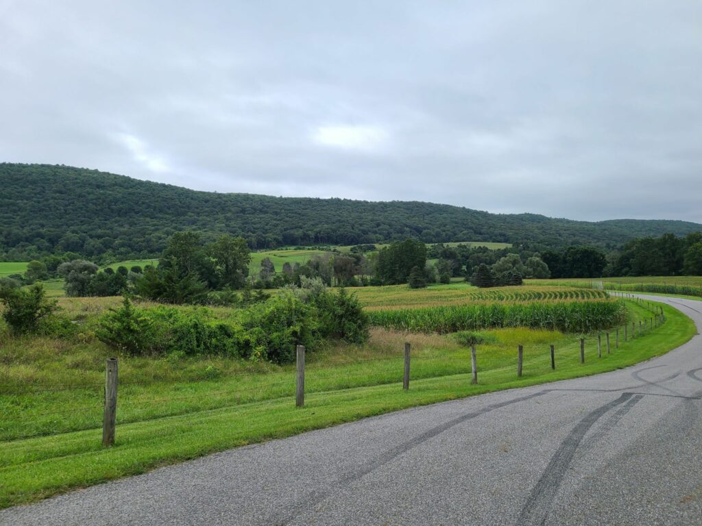
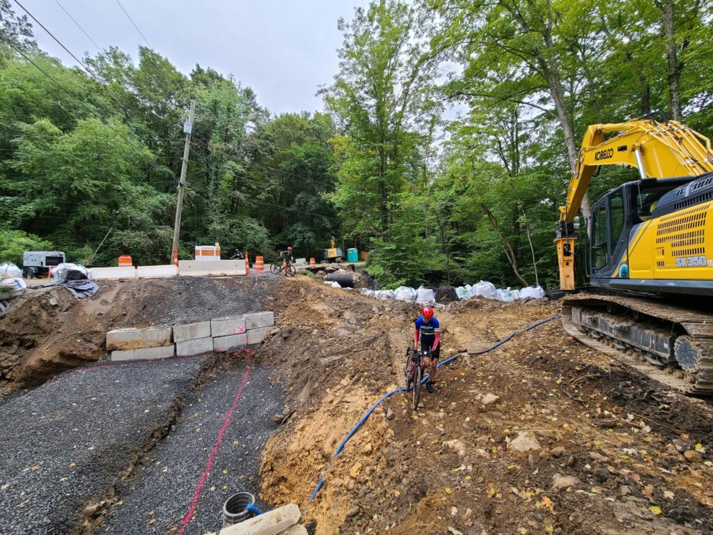
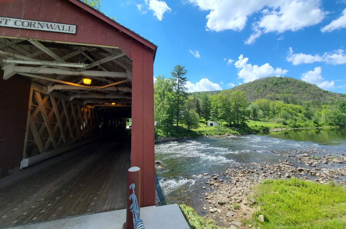
Epic gravel ride that includes the climb up Mt Riga (~1250ft), the more challenging climb to Sunset Rock (~1050ft, but steeper), the flat (and beautiful) Housatonic River Road, and other premium stretches of gravel in the region. It includes the option to visit Bash Bish falls (just steps away from the route). Worth the drive!

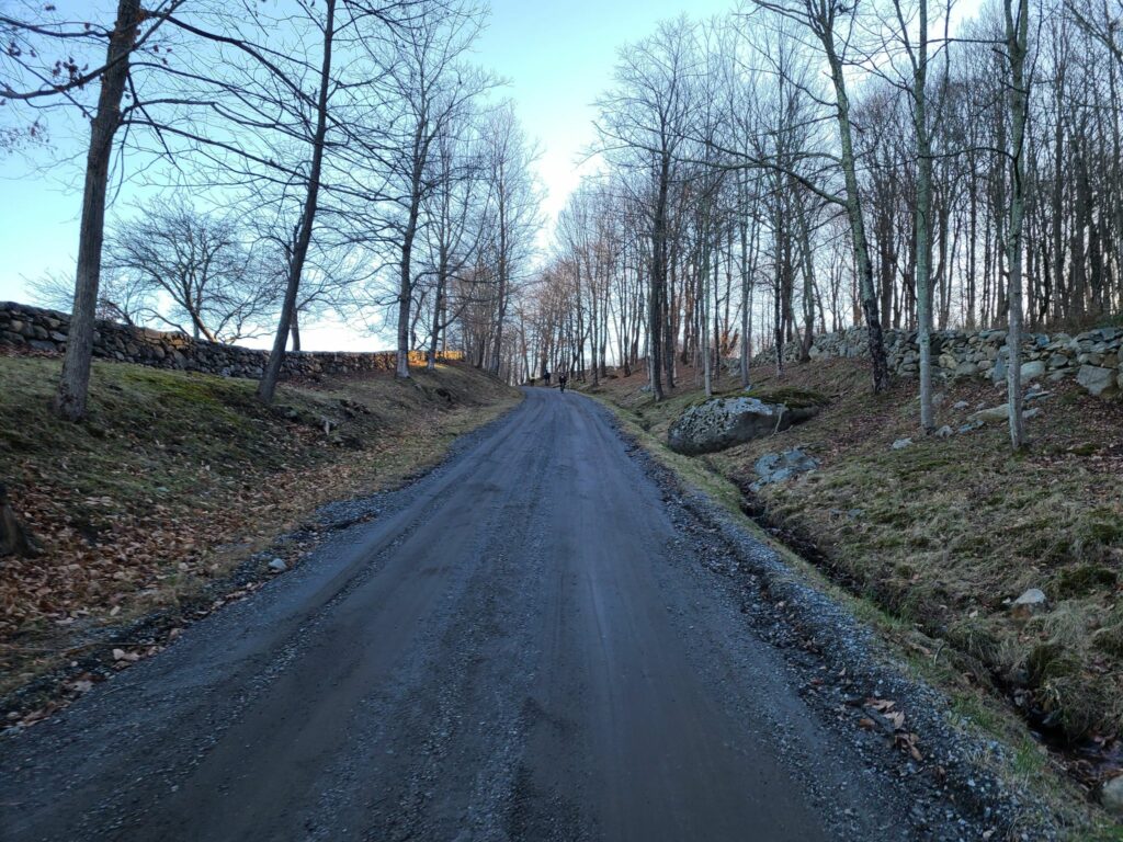
I’ve pasted the RidewithGPS route below, which contains a detailed description and options for shorter 75- and 86-mile distances. The 75-mile route is probably the sweet spot as it includes both big climbs and the entire Berkshires part of the ride. The last 22 miles of the full route have some excellent dirt roads, too. We were originally going to start in Kent, CT, but moved the start location to Housatonic Meadows State Park Picnic Area to allow for some shorter “bailout” options (75 or 86 miles), in case anybody needed to get back earlier, or in case we ran out of steam. Thankfully we managed to keep the pedals turning for 100 miles and 9500 ft of climbing and had an awesome ride! We celebrated with some beer at the end.

ROUTE LINK:

SHORTER VERSIONS:

OUR ACTUAL RIDE:

Itinerary for our ride.

  • 19.5 mi: Optional water/gatorade stop at LaBonne’s Market in Salisbury
  • 34.5 mi: Required stop at Depot Deli for snacks/food/water. This will be needed after climbing Mt Riga and before climbing Sunset Rock (each 1250ft and 1050ft, respectively). Bathrooms available at Taconic State Park near the swimming area (across the street).
  • 49 mi: Lunch at the Marketplace Kitchen and Cafe in Sheffield (sandwiches, etc). They might not carry sports drinks, but we could backtrack 0.1 miles to the Mobile Station across the street if needed.
  • 65mi: Optional detour to Falls River Cafe.
  • 78mi: Required Stop at supermarket in Sharon, CT. Last reliable place to get food/drinks before end of ride.

Parking:

Housatonic Meadows Picnic Area has been a safe choice. They had decent porta-potties when we last visited (late June, 2022). There is no fee (just drive and park — no booth). Mark’s ride starts at Housatonic High School. I’m guessing that will work for weekends or summer, only.

Macedonia Gravel Grinder* – Winter Edition

Yesterday, members of the GrNY group did this ride for the first time. I’ve had a couple of requests for the RidewithGPS route, hence this ride report. For those who don’t know, Strava events (and their routes) disappear from the group page once they are over.

MAIN ROUTE: https://ridewithgps.com/routes/38187873
~80 miles and 8,000 ft climbing

SHORTER VERSION: https://ridewithgps.com/routes/38188236
~65 miles and 6,000 ft climbing

Our actual ride: https://www.strava.com/activities/6395687673

From my Strava feed:
“It was an awesome day on the bike with some excellent company (most of whom woke up before 5am so we could get to the ride start before NYC traffic started!). There was much excellent dirt and plenty of climbing. Those of us who are more road/gravel oriented got several hundred extra feet of climbing by taking the paved way down Skiff Mountain. Those with better mountain bike skills chose the dare-devil, gravel descent (steep, winding, narrow, loose gravel, with potential uphill jeep/ATV traffic).
Thanks to Mark L for the spectacular route that he created in 2015 — and his advice for further improving it prior to our ride today!”

NOTES:
1) There were a couple of places with road work/closures, but on bikes, we were able to pass through.
2) Make sure you are well-stocked with food and water (e.g. in Kent) before starting the upper loop. You won’t find any places to refuel up there.
3) The route above takes the paved way down Skiff mountain (safer), but choose your own adventure (at your own risk).

* This route has no affiliation with the official Macedonia Gravel Grinder event, which will be happening for the first time this summer. I have no idea which roads that event will take, aside for obviously traveling through the lovely Macedonia Brook State Park.

Pawling Nature Preserve
Housatonic River
Housatonic River
Hill on dirt road
Up up up… There was plenty of climbing on the day (>8,000 ft according to most of our bike computers)

Dutchess and Litchfield Gravel Grinder (with Skiff Mountain climb)

On Sunday, August 29, GrNY riders (including two new members) lined up to tackle either a 50+ or 80+ mile gravel route that included the challenging climb up Skiff Mountain near Kent, CT.

Overall, it was an awesome day out. We had good weather for riding (highs in the 70s and no rain, despite the gray skies); the roads were in better condition than we expected given Hurricane Henri the week before; everyone managed to complete the route (either 50+ or 80+ miles), and we covered some beautiful rural roads through farms, forests, and nature preserves.

That said, the start of our ride didn’t go as planned! A running race led to the closure of the first part of our route. We managed to detour. About 9 miles from the start, we came to another closed road. The bridge was completely missing. Water pumps were running and there were no construction crews around, so we crossed the construction zone.

One of the ride highlights — or lowlights depending on how much time a rider spent riding vs walking — was the climb up Skiff Mountain via N Kent Road. This is a minimally maintained road that resembles a jeep trail more than the hard-packed dirt roads on the rest of the route. It is a significant climb (>1000’), it is very steep in places (up to 20%), and continues for a long way (2.5 miles at 9 to 10% average grade), but it is the loose surface that makes it particularly challenging.

A couple of us managed to ride the entire way (which definitely felt like an accomplishment). Others managed to ride most of the way, but had to walk the steepest or loosest sections (not enough traction). One or two riders probably spent more time walking. My only tips are to keep your weight back, try to pick good lines (i.e. look for the better-packed sections), spin smoothly, and otherwise try to keep your wheel straight (not turned) through the loose stuff. I was running 38mm slick tires, but I’m sure wider would have been better.

Splitting up: Soon after Skiff Mountain, around mile 26, we split into two groups. Some of us continued on the 80+ mile route, which travelled through picturesque dirt roads in Dutchess County, NY. Others stayed mostly within Litchfield, CT and passed through the beautiful Macedonia Brook State Park to complete 50+ miles on the day. The 50+ mile group confirmed that everybody made it and enjoyed the route. Our 80+ mile group put in a long, but enjoyable day on the bike, with our fuel tanks mostly drained by the end. Total distance was ~83 miles and between 7200’ and 7800’ of climbing depending on whose device and routing service you believe.

**ROUTES**
80+ mile route: https://ridewithgps.com/routes/37294061
50+ mile route: https://ridewithgps.com/routes/37294649
Our actual ride (83-miles): https://www.strava.com/activities/5874412401

NOTES:

  1. There was a bridge missing at mile nine.
  2. I updated the route to include our short “spurs” toward the few food/water stops that exist along the way.

Steve (track.smart@gmail.com)

Dutchess County farm country.
Riders (minus the photographer, Brian)
Dirt roads. Sorry, but I don’t have any photos of the road up Skiff Mountain. I was working hard just to stay upright!
More farm country (Dutchess County)
Rolling hills of forest and farm.
Where’s the bridge?
Galloping Horses