“Fall Back” Gravel Ride: Brewster > Wingdale > Wassaic

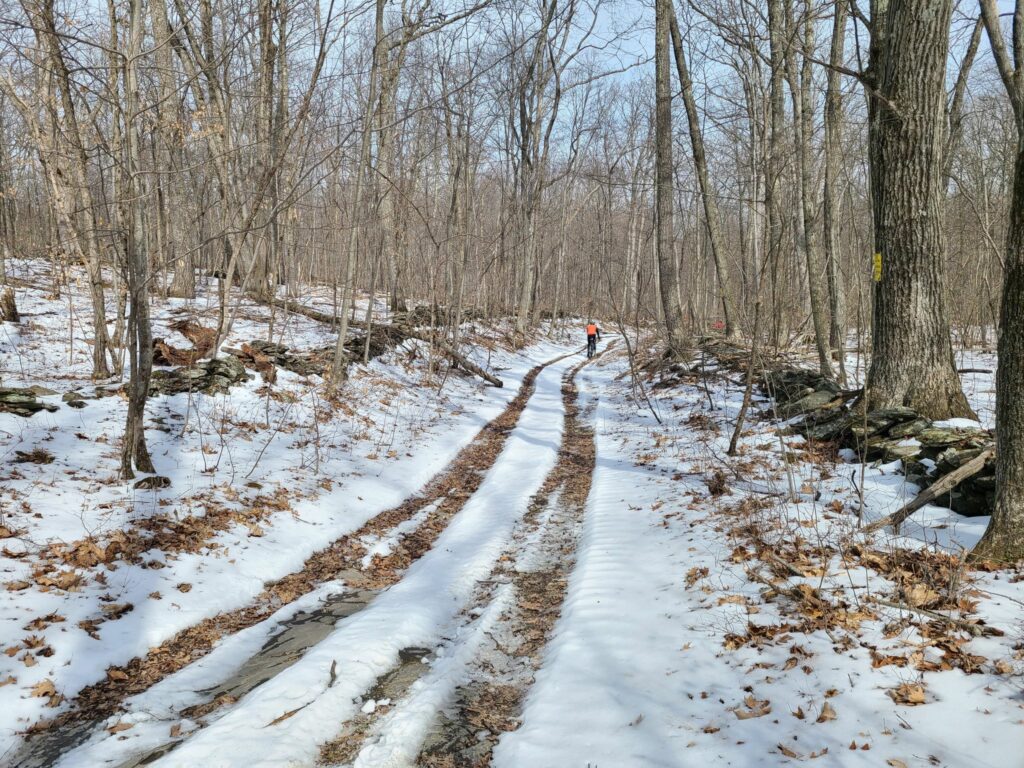
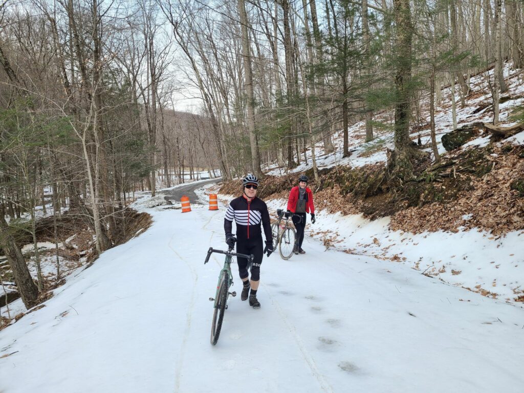
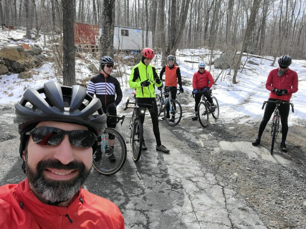
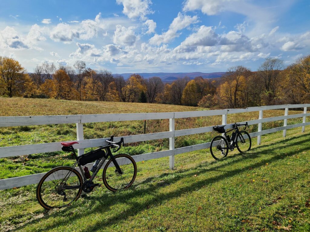
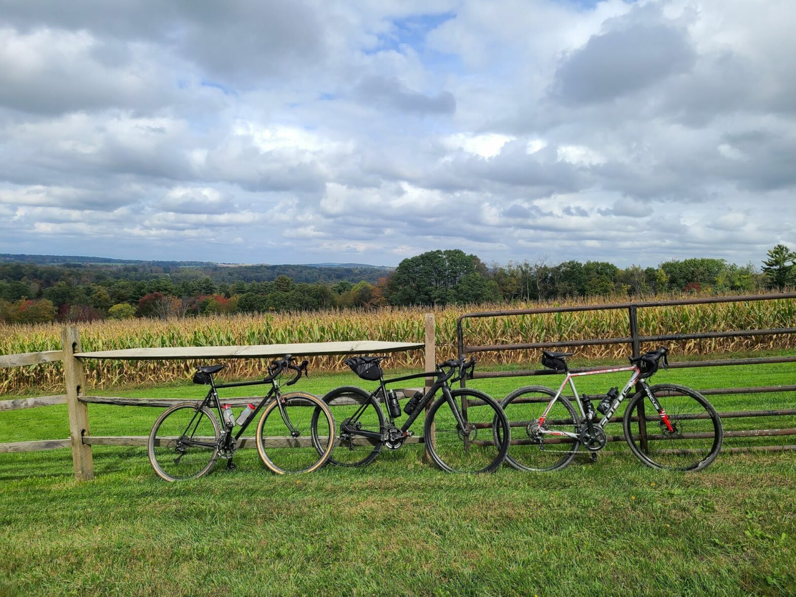
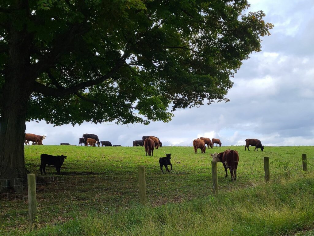
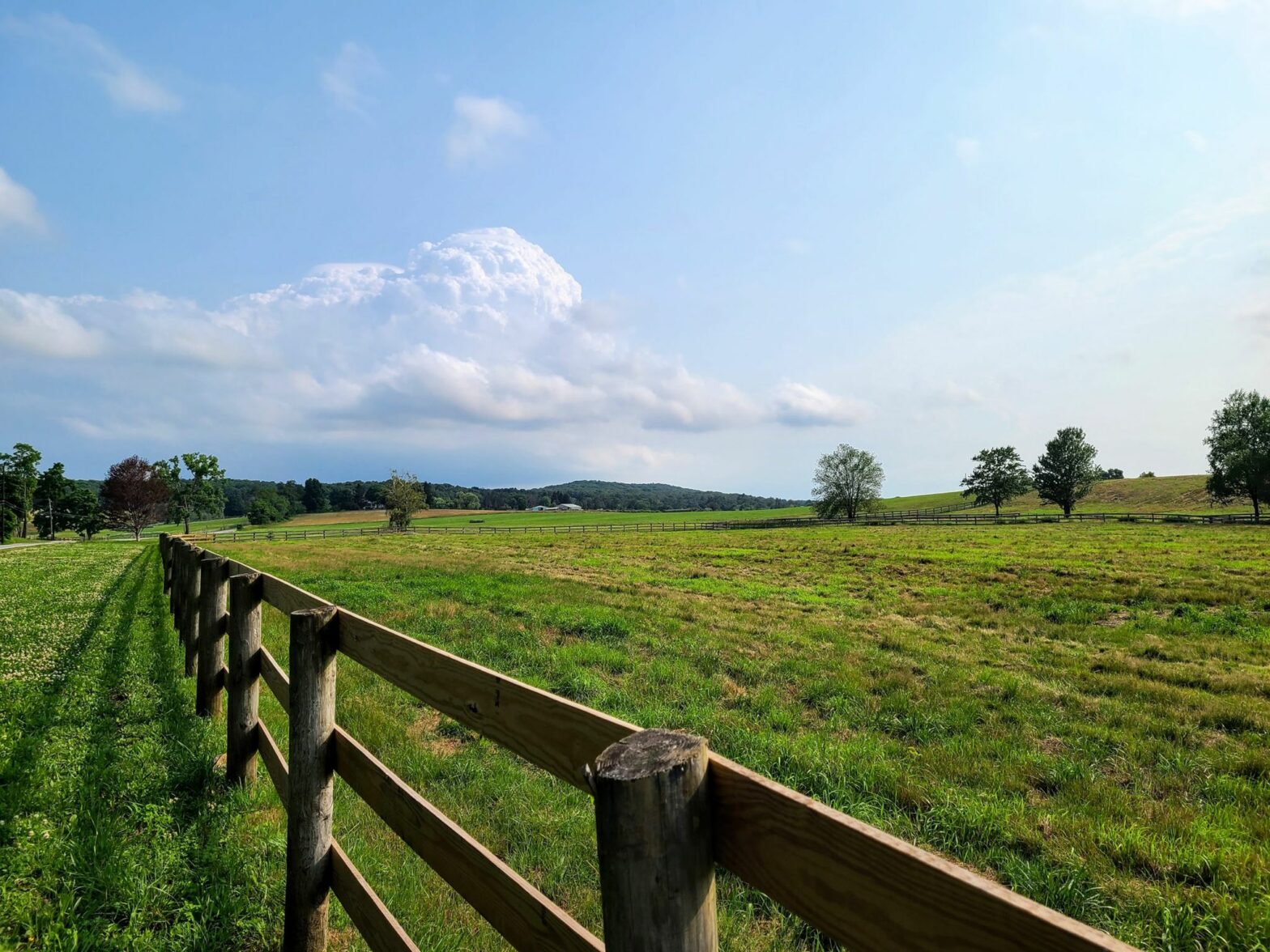
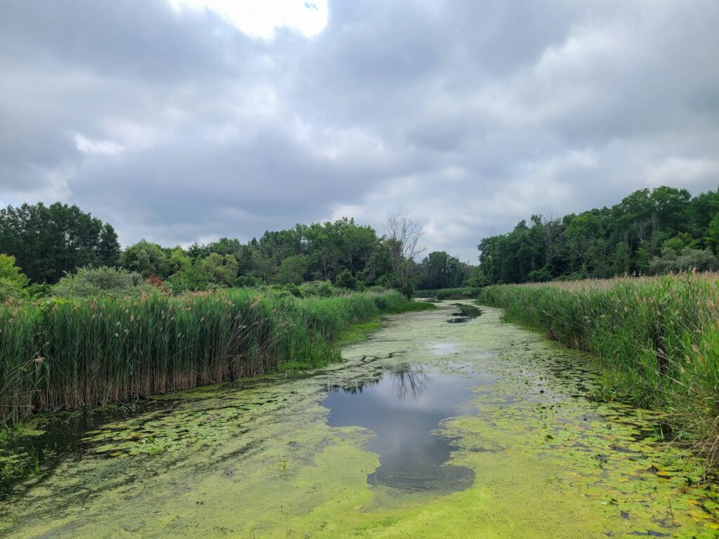
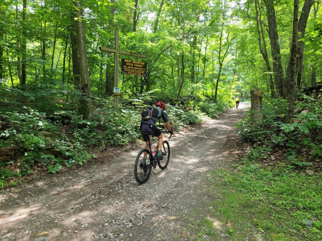
In addition to turning back the clocks, on November 6, 2022 a group of GrNY riders tackled a gravel ride of 79 miles and over 7,000 ft of climbing (or a truncated 65 mile version).  This ride offered a bit of redemption, because the previous time we did this route was in early March, when we encountered many miles of snow-covered back roads.  The ‘normal’ dirt roads were fine that previous day in March, but the closed-for-the-season dirt roads had not yet melted.  Live and learn! 

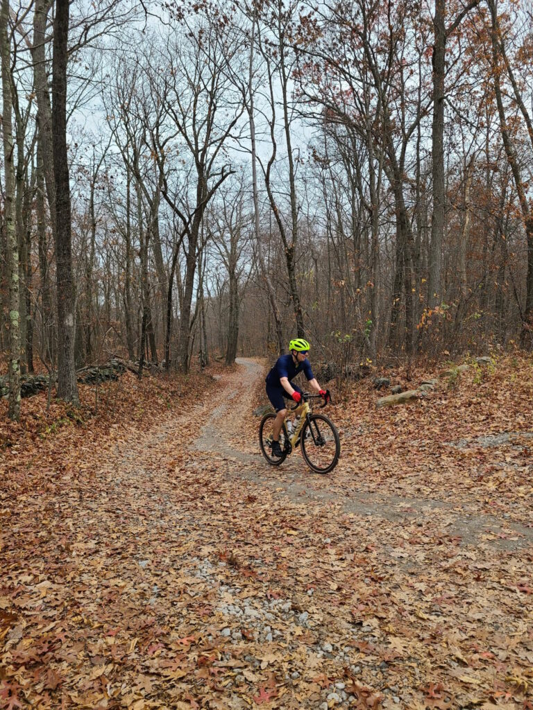
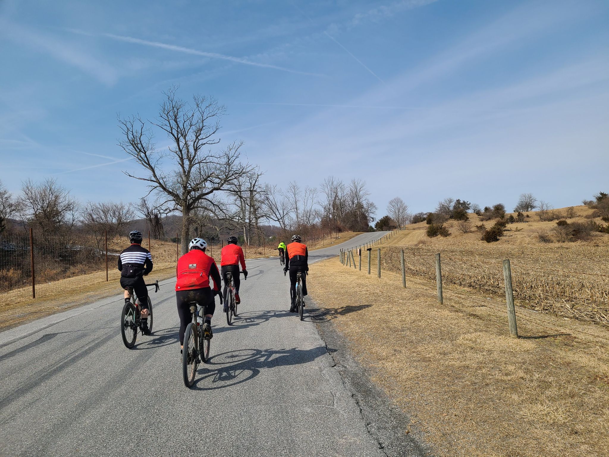
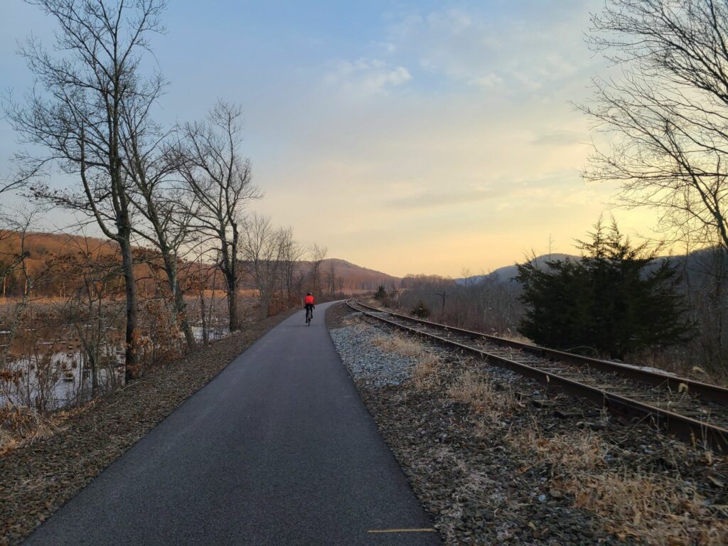
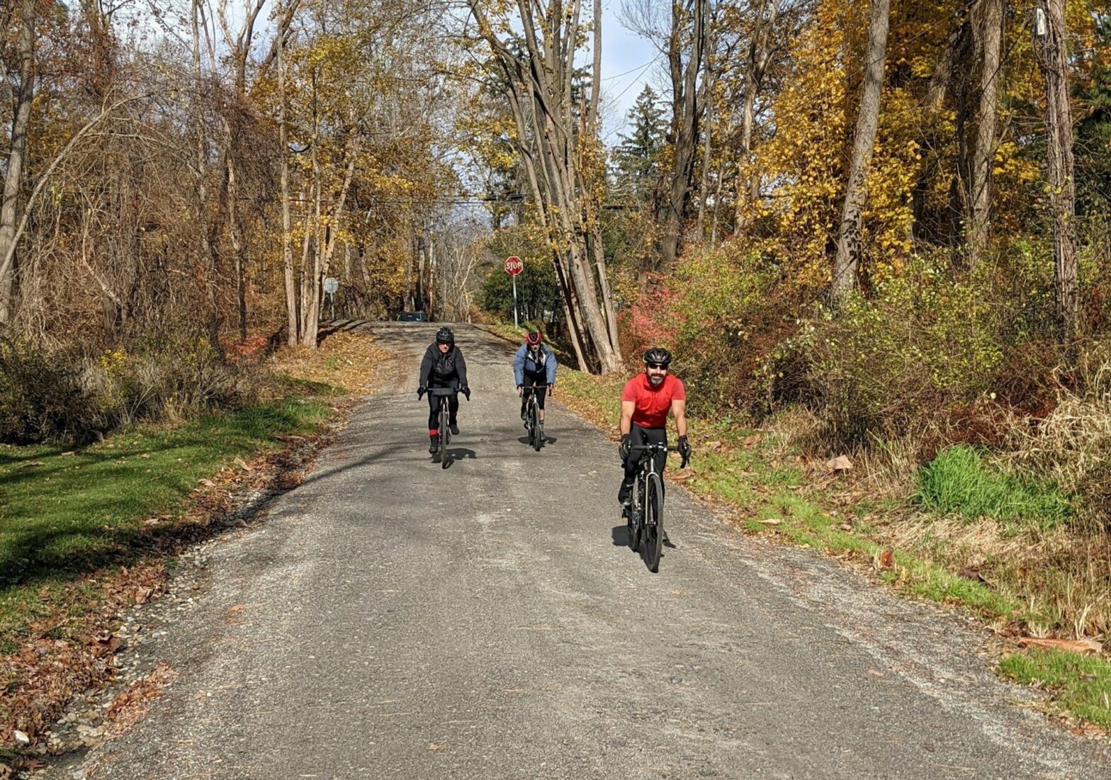
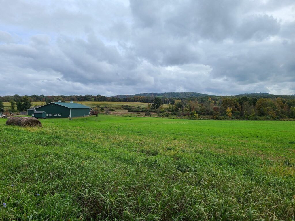
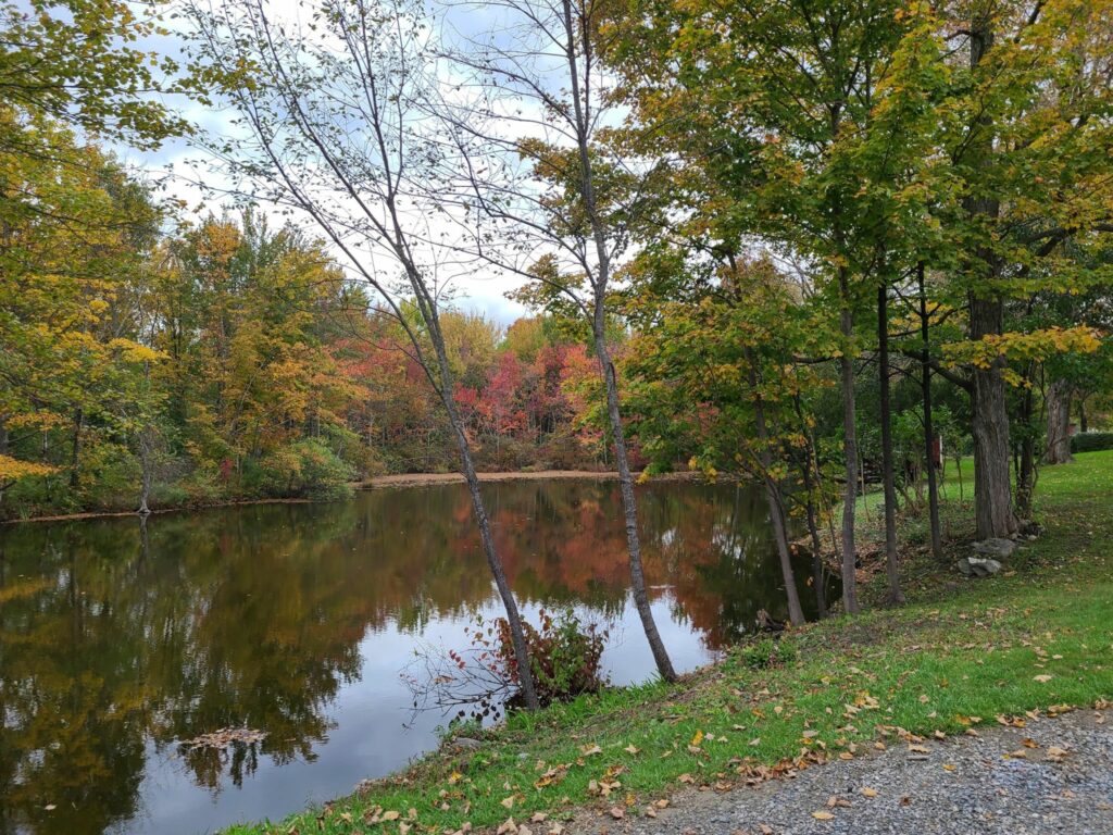
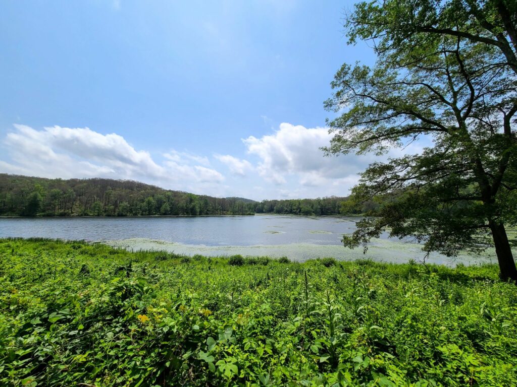
Overall, this was a fun day out and a great first GrNY ride since my (Steve’s) return from Colorado.  It was a beautiful route with a mix of rural dirt and paved roads. And it was such a wonderfully warm day. It was hard to believe it was November.  Some of us celebrated with beer and pizza after the ride and both tasted mighty fine after our efforts.

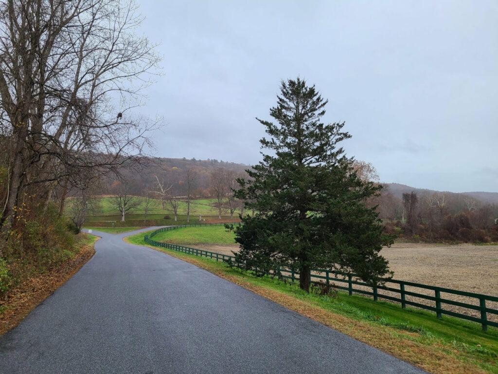
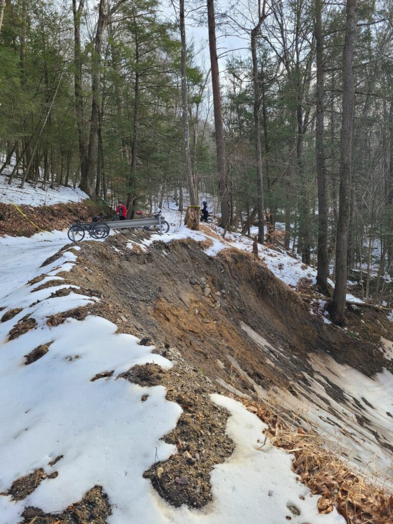
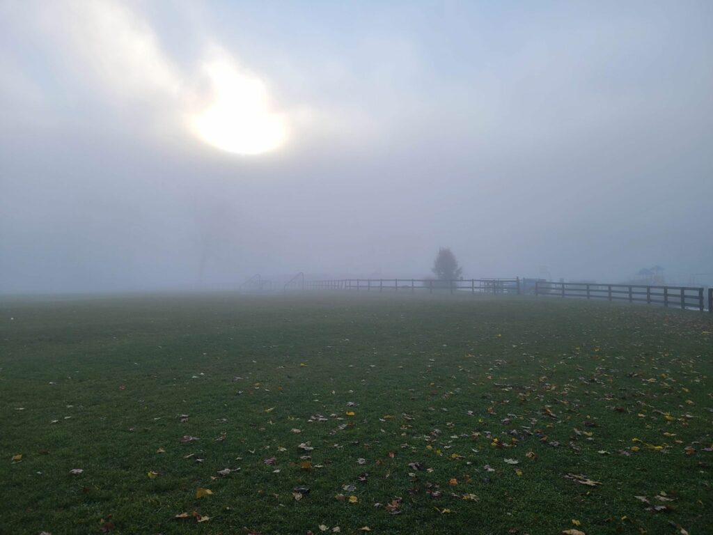
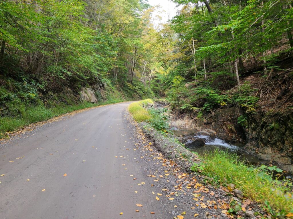
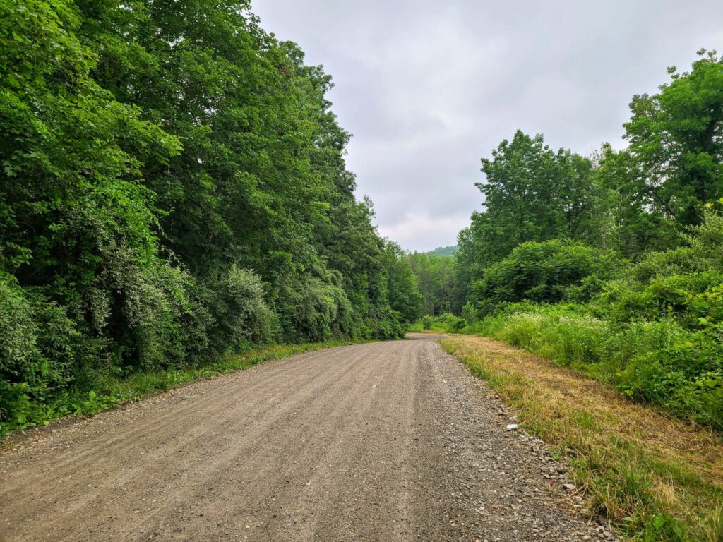
There were a few minor imperfections on the day, but they didn’t dampen our spirits (even if they did dampen the roads!). The weather turned a bit wet and misty during the second half of our ride, but on such a warm day it really wasn’t much of a bother. And the first part of our ride, Pugsley Rd, was in the process of being redeveloped so it was a sketchy trek through an in-progress construction zone.  Thankfully, there was no active work on this weekend morning.  Say farewell to the formerly- quiet, and formerly-dirt Pugsley Rd!  It will soon be paved and have a huge warehouse operation, a large recreation center, and lots of truck traffic.  You may need to choose an alternate route to start this ride if construction is still underway.

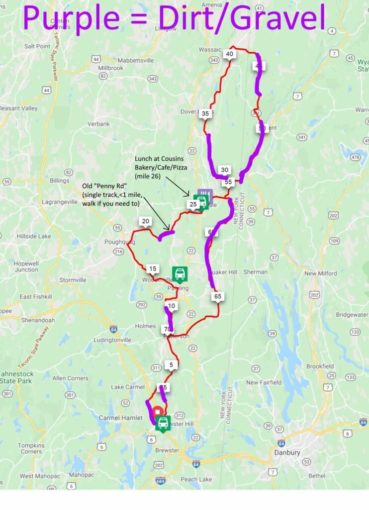
The top “loop” of this ride has much more gravel than the bottom loop, especially now that Pugsley Rd is no longer dirt. It might be time to develop a better route that no longer starts from Brewster.

ROUTES:

– Full, 79 mile version:  https://ridewithgps.com/routes/41370685

– Shortened 65 mile version: https://ridewithgps.com/routes/41370810

ACTUAL RIDE: https://www.strava.com/activities/8079592997

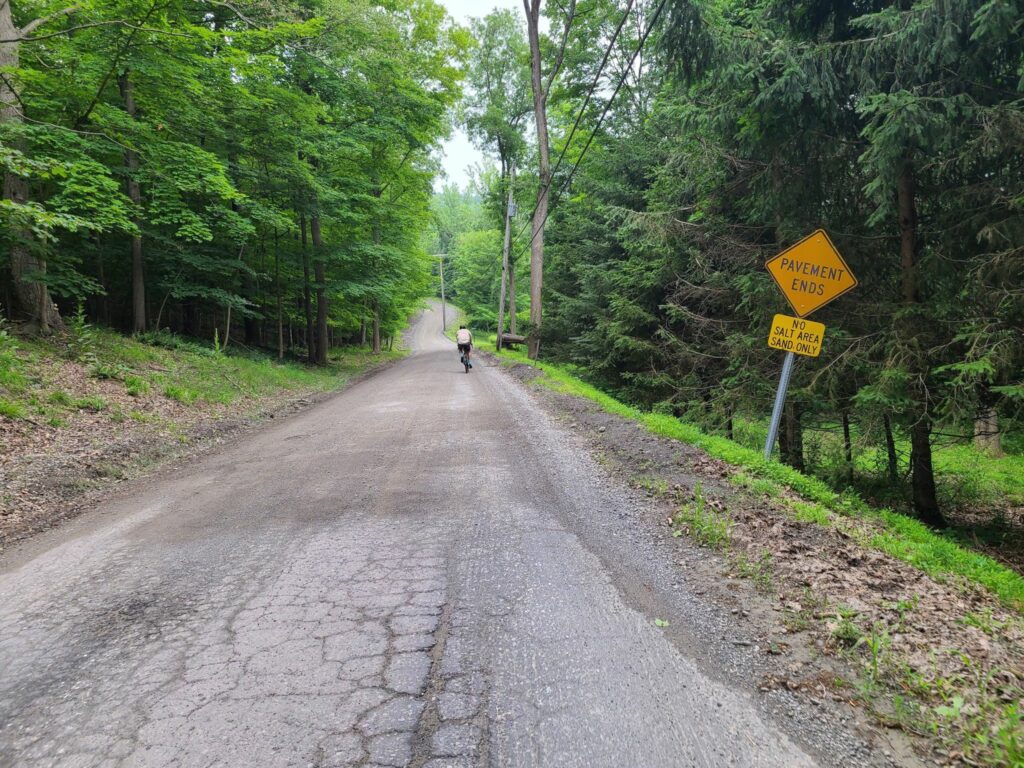
WARNING: After emerging from Penny Rd onto pavement you will encounter a crazy steep downhill. Go slow! One rider almost lost control. I guess I wasn’t clear enough when I tried to warn folks.

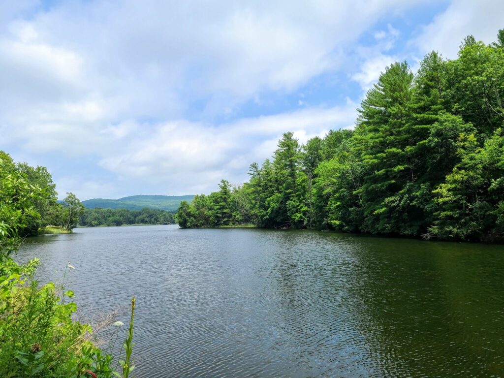
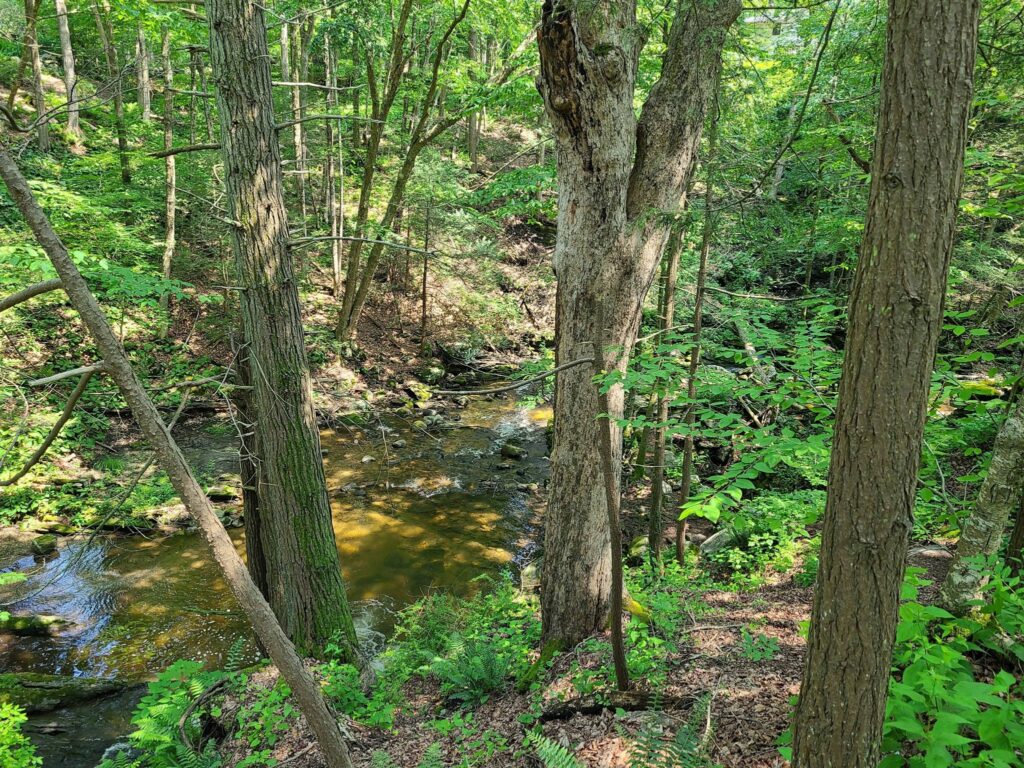
Note:  This version of the 79-mile route switches the direction of the “top loop”.  This is a change for the better.  First, it puts our lunch spot (Kent, CT) at mile 35.5, which is better timing.  Second, it allows for a  shortened 65-mile route that keeps everyone together until lunch time.  Third, it allows us to ride *up* Macedonia Brook State Park, which means you get more time to enjoy the lovely scenery, rather than bombing down it at high speed.

Tackling the climb inside West Mountain State Forest on the way to Penny Rd
Tackling the climb inside West Mountain State Forest on the way to Penny Rd. Penny Rd is definitely not a road anymore! It is a rough forest trail, but doesn’t last for long.
Foggy road through rolling farms and forests.

Brewster to Wassaic Gravel Ride

For those who missed it, here’s a quick recap of this past Saturday’s GrNY ride.

TLDR version: I promised adventure on this GrNY ride and (unintentionally) ended up seriously over-delivering. Winter has not yet receded in Dutchess County. Overall we traversed…
– snow-free frozen dirt (good for riding)
– velcro-mud (energy sapping, but otherwise fine)
– soupy mud (rideable but messy)
– ice-covered forest trails (difficult even for walking),
– crusty frozen snow (upon which we did a substantial amount of snow biking).

My bike computer recorded 79 miles and 7000′ of climbing. That was one crazy ride, but a lot of fun. Thanks everyone who joined this not-yet-spring lunacy!

=========
MORE DETAIL: Going north of the city for a gravel ride was always going to be a risk this time of year — to the extent that I chose a 100% paved route as a backup plan. But despite the frozen crust of snow in the grass around our starting location, all of our riders decided to try the dirt route.

Things started off well in the chilly morning: Nicely frozen (and therefore solid) dirt roads for us to enjoy – all completely free of snow on the road portion. That said, the snow under the trees indicated that we would surely be hiking through the forest trail portion of our ride (at West Mountain Forest). And sure enough, even walking was a challenge on that section! It was a ~0.75 mile of “ice-hiking”.
Fortunately, we soon hit roads again on the other side.

After lunch at Cousins Bakery/Cafe/Deli/Pizzeria, we ventured further north and found our dirt roads getting softer with the warmth of the day. Totally rideable, but sometimes sticky (sapping ones energy) and occasionally pretty messy. We never hit truly awful peanut butter mud, so I’ll consider that a win on the mud front. But those closed-for-the-season dirt roads were an entirely different matter! Without car traffic, they were still covered in a crust of semi-frozen snow. I expected us to be walking, but after seeing Vasyl forge ahead on two wheels, the rest of us gave it a shot. Definitely challenging, but on the flat, we managed to roll (and skid) our way forward. We did this through several short sections of seasonal road and thought we had triumphed by the time we returned to the lower loop of our ride. But around mile 64 we hit an uphill surprise of more snow-covered roads. We weren’t going to be riding up that — we barely had traction on the flats! And it was getting late in the day, so limited daylight was a concern.

About half of our bunch took the most direct paved path back towards our start location (the shoulder of a busy Route 22). The other half (including yours truly) took a detour half-way down Route 22, then veered towards the paved Mayberry trail – and towards peaceful salvation. Or so we thought! We soon hit a stretch of unexpected icy-snow stretching into the distance on the bike trail. Wow, there was just no escaping the white stuff! Fortunately, after that longish stretch of snow-biking, the rest of the Mayberry trail was fine except for short bands of snow underneath underpasses. All riders made it back to the train or their cars and were only slightly the worse for wear. It was one crazy ride!

MAIN ROUTE (77.5 miles, ~7000’): https://ridewithgps.com/routes/36622714

Our actual ride: https://www.strava.com/activities/6779011361

Questions? post below or email: track.smart@gmail.com

Maybrook Trailway
Walking bikes on icy snow
Lifting bikes over a gate
The route

Wingdale To Wassaic – Rain Remix (with routes)

This past Saturday, we dragged ourselves out of bed early so we could ride before a predicted afternoon storm. We enjoyed some excellent dirt riding through forests and across ridges with stunning views. And we managed to complete the entire ride before some nasty weather rolled in.

Our original route would have been 77 miles (see notes for the Brewster to Wassaic ride earlier this year), but we shortened it to 47 miles in light of the weather. We also moved the start location to Wingdale, which is near the center of this “figure 8” shaped ride, so we could easily bail if the storm arrived early. Thankfully, we completed this beautiful ride before the skies opened up with pouring rain, heavy winds, and even hail in some places.

I’ve pasted our shortened route below, because sometimes folks are looking for rides that don’t require an entire day to complete.

Route from Saturday
47 miler: https://ridewithgps.com/routes/38001180

——
Longer variants:
61 miler: https://ridewithgps.com/routes/38001292

77 miler: https://ridewithgps.com/routes/36622714
(the original route from earlier this year)

Misty/foggy morning start
This is what it looked like in the morning at the ride start. The sun hadn’t fought its way through the mist yet.
Two bikes leaning against a white fence
It turned into a beautiful day. At least until the storms rolled in later! We finished at the right time.

Dirt Roads of the Dover Plains

We embarked from the Dover Plains train station on Oct 9, 2021 for gravel ride in Dutchess County, NY. It was a lovely day out. Miles and miles of farms, forests, and hilltop views on hardpacked dirt roads (and pavement). We saw hints of fall color, particularly at higher elevations and along ridge lines.

This 65 mile route contains only actual roads (45% dirt and 55% paved) and no forest trails, so nothing too technical. Most of the dirt roads were fast-moving hardpack. That said, be wary of fast dirt descents with sharp turns, washboard, potholes, or occasional loose stuff. This route has quite a bit of climbing in total (probably closer to 6000′ rather than the 5000′ that Ride with GPS lists), but only one stout climb continues for a long time. So the challenge is the continual up-and-down rather than long climbs throughout.

I updated the route so that it detours through the town of Millbrook, since our original lunch location has closed permanently (sadly). Credit goes to Mark L for the original route.

Final Route: https://ridewithgps.com/routes/37731414

Note 1: Strava Events disappear after they are completed. I sometimes post “ride reports” so other members can find past routes.

-Steve (track.smart@gmail.com)

A field with cows under a tree
A dirt road with a brook running along the side

Brewster To Wassaic Gravel Ride

This event was on July 5, 2021: Overall, it was a challenging, but very rewarding ride to celebrate the Fourth of July weekend. The route included paved sections, gravel sections, a short section of forest trail (around mile 22), and several challenging climbs followed by memorable descents.

All riders started together in Brewster, tackled the wild Penny Lane forest trail, then continued to our lunch stop in Wingdale. We picked up an additional rider who took the same train to Brewster and was using our route as a jumping-off point for his bike trip to the Berkshires. Cousins Bakery/Pizzeria was closed for the holiday, so we had to make do with the deli/Dunkin Donuts/Mobile Station just down the road. Normally, Cousins provides some nice baked goods for bringing up the blood sugar! Around mile 28/29 our “extra” rider continued on his route, a second rider headed back towards Brewster to complete the 50 mile loop (and get home a bit earlier), while the rest of the group committed to the full 77 mile route.

RidewithGPS estimated the route at 6000’, but all of our devices registered well over 7000’ of total climbing on the day. Those climbs earned us some beautiful views and fun, roaring descents. Everybody survived the route, though some suffered a bit more than others on the climbs.

For future riders of this route: There are no stores of any kind from mile 26 to mile 69 (43 miles total), so we tried to fuel up during our pitstop in Wingdale. We used my portable water filter to top-off our water bottles around Macedonia Brook State Park, since it was a hot day. Come prepared with everything you need for that stretch of the ride!

MAIN ROUTE (77 miles, >7000’): https://ridewithgps.com/routes/36622714
SOUTHERN LOOP (50 miles, 5000’): https://ridewithgps.com/routes/32953734

[FYI: Strava removes all “events” from our feed once they have passed. I sometimes post “ride reports” so GrNY members can learn about past rides and hopefully try those routes themselves.]

-Steve