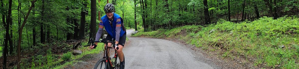
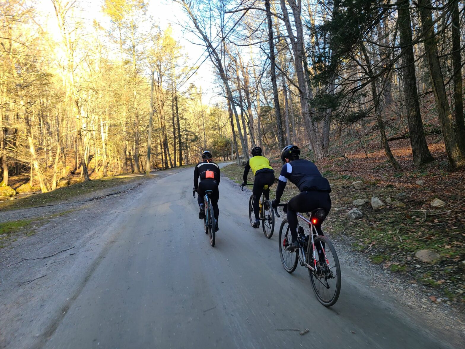
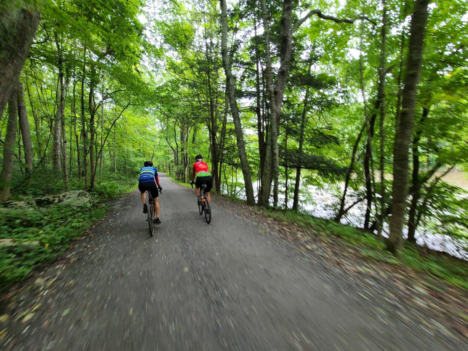
Today we tackled one of our most beautiful, rugged, and challenging routes. You’d be forgiven for thinking the goal was to put every steep hill on this ride! It surely seemed that way, but that’s where all of these great dirt roads point! Either steeply up or steeply down. For those who weren’t there, we traveled through forests, wetlands, and along streams – and through the tunnel in Steep Rock Preserve. We even saw a young bear, among other wildlife.
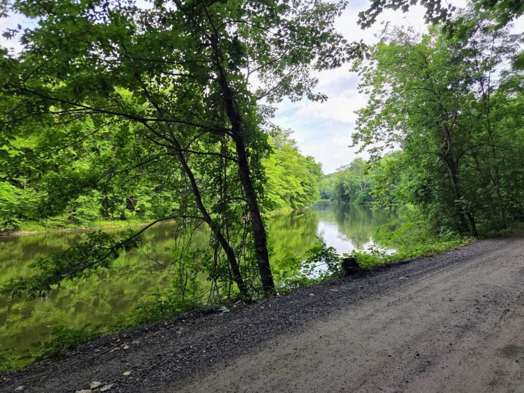
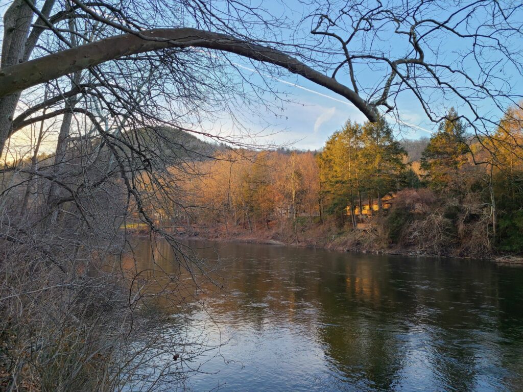
It was a hot day, but fortunately, most of our ride was under tree cover which made a huge difference. A few sections of the ride were tougher than usual, given some storm damage from the prior weekend. There were loose rocks, ruts, and holes in some of the dirt roads – usually whenever things were at their steepest! But everyone did a fantastic job and tackled all of it. The cold drinks and snacks at the end were well-deserved. We had a great little picnic next to the river.
We hope to see everyone in two weeks for the next ride (currently planned for Bedminster area of NJ). You can see the ride calendar, here: https://grny.org/2026-07/2026-ride-calendar
The Tunnel Ride was characterized by steep climbs and descents.
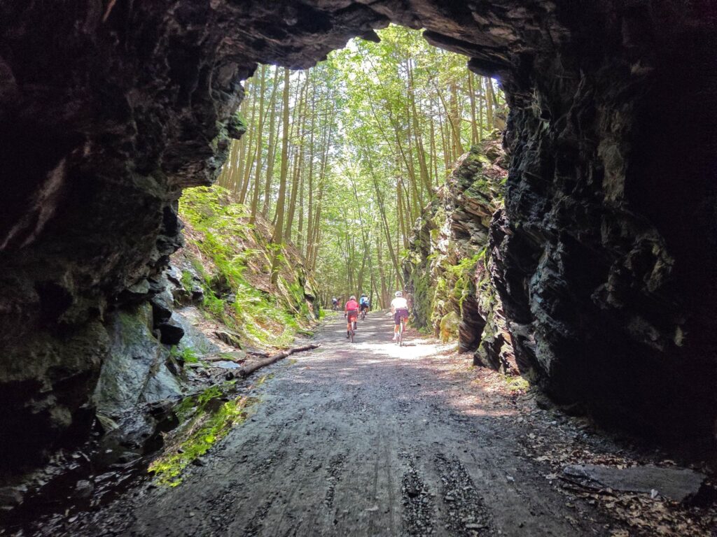
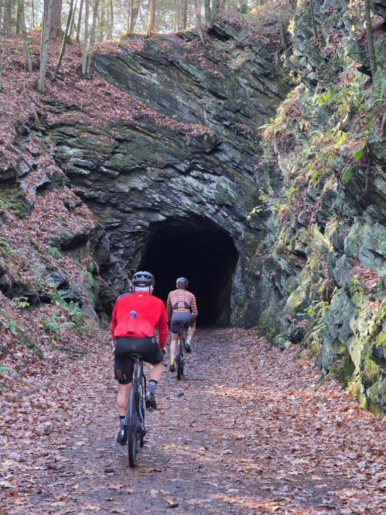
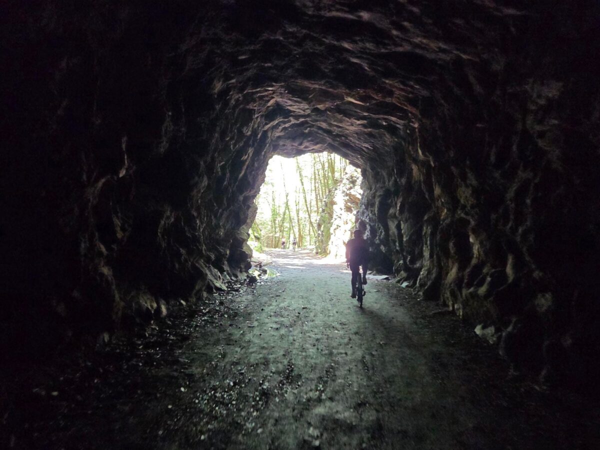
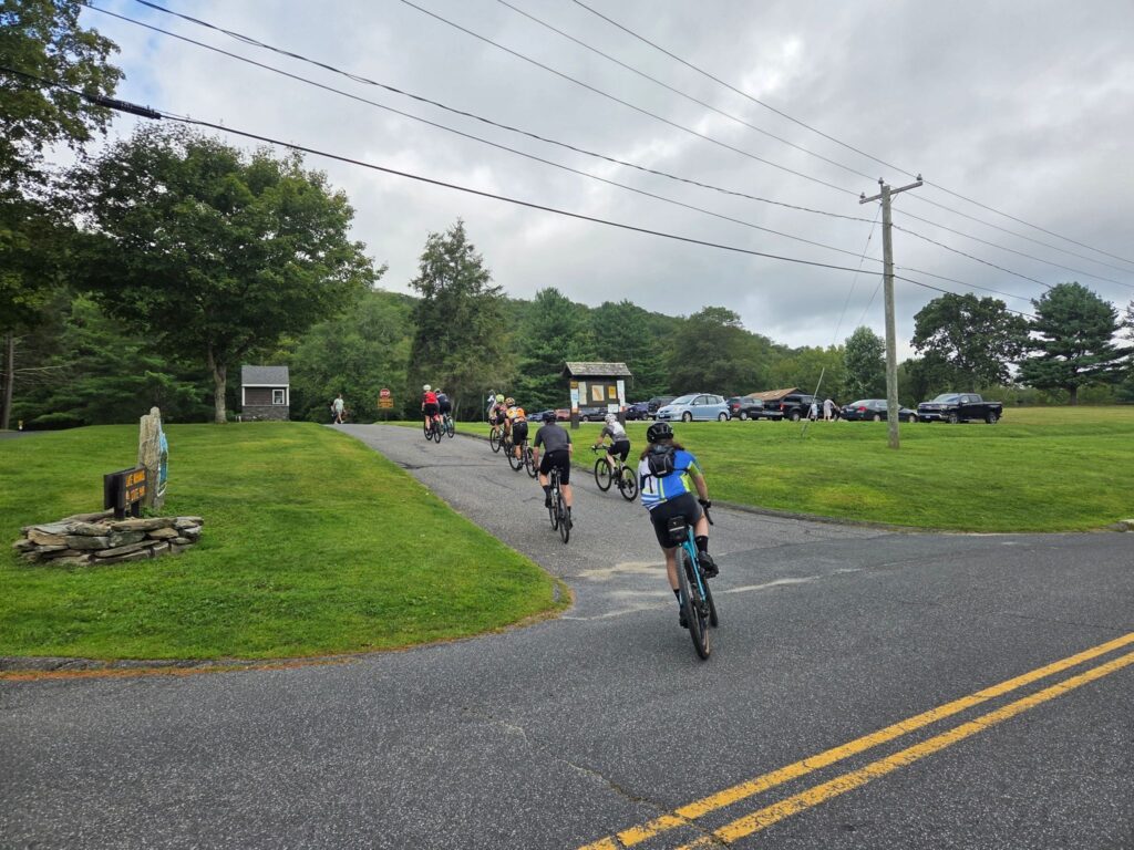
Riders exiting the tunnel in Steep Rock Preserve
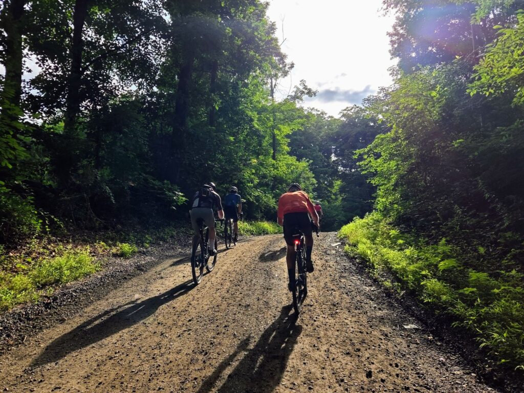
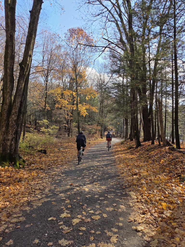
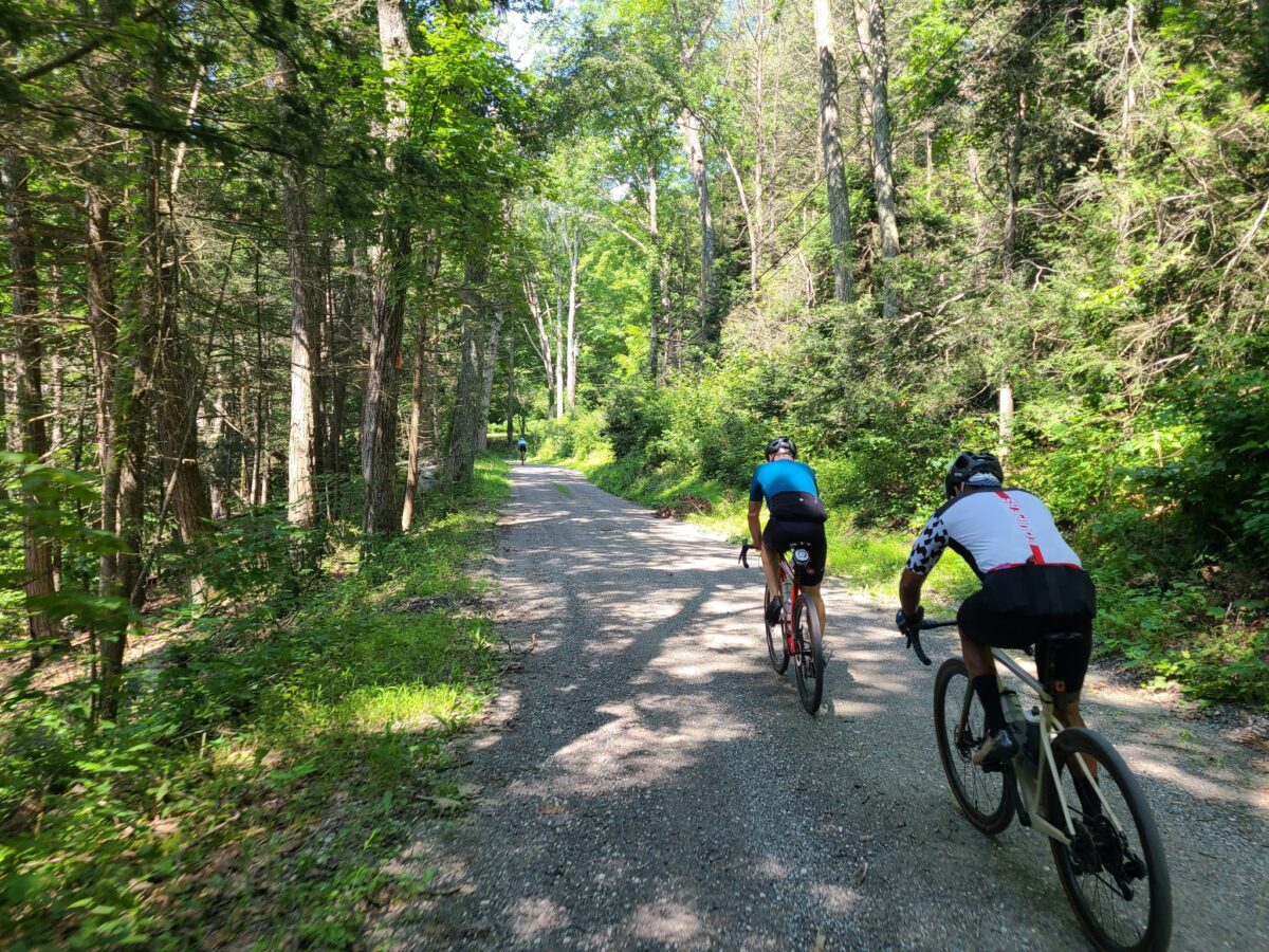
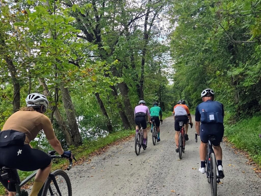
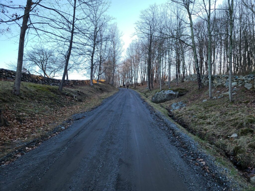
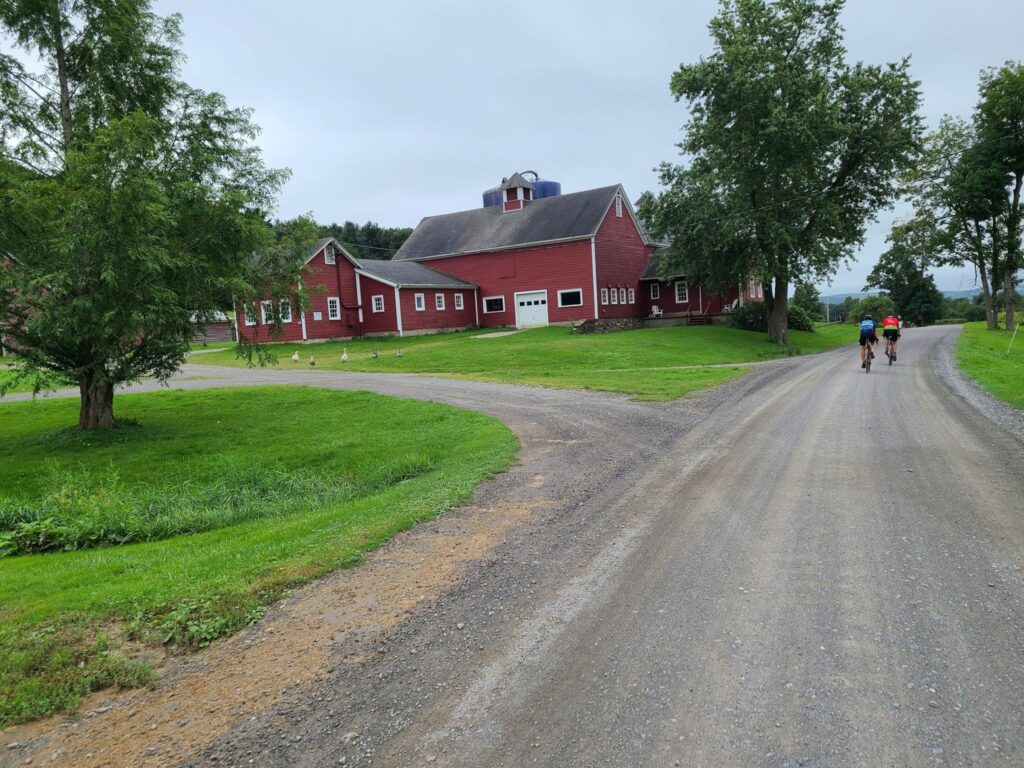
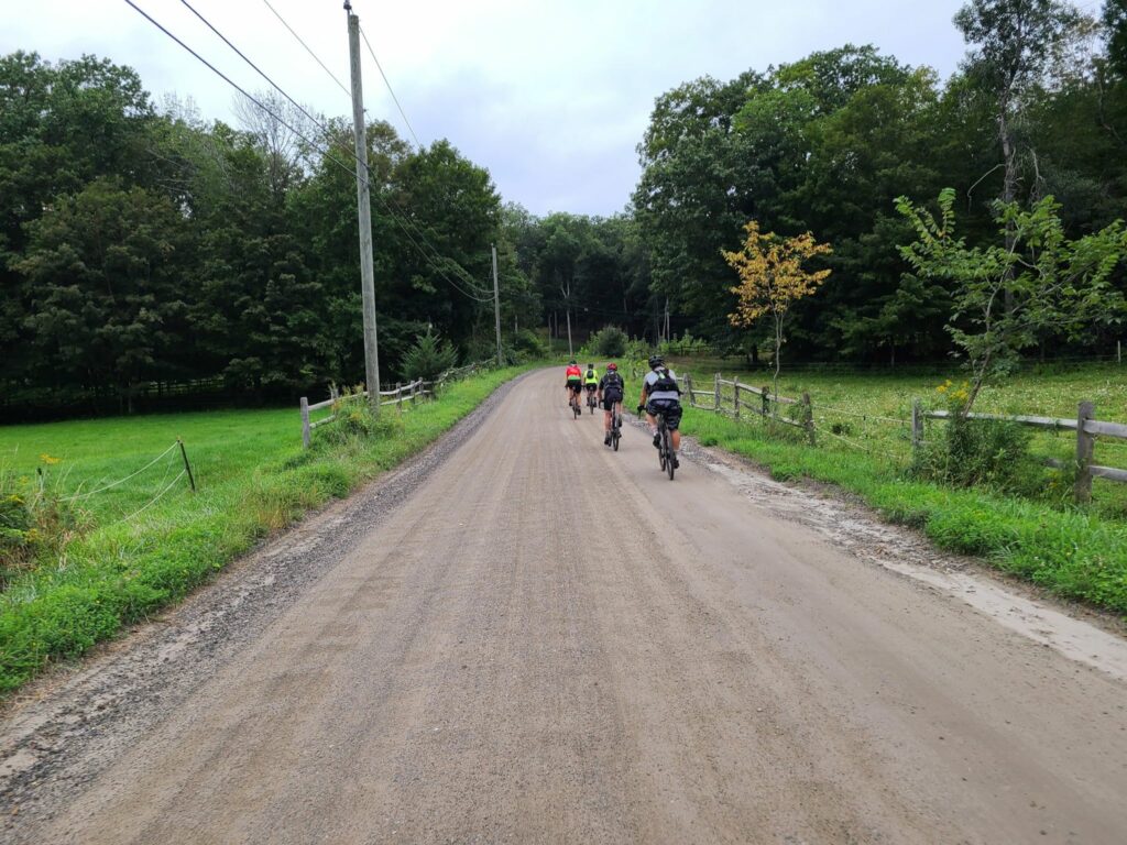
We traveled many beautiful roads through quiet natural areas.
Thanks for joining us on The Tunnel ride! It was excellent ride on a gorgeous fall day! All of the pace groups tackled very challenging routes – possibly our most challenging “Medium” and “Short” distance routes given the steep grades and total elevation gain. The payoff was beautiful riding along streams, across scenic ridges, and over peaceful wooded roads – including some exciting dirt descents. We traveled through Steep Rock Preserve, which is home to the (locally) famous tunnel and is always a highlight. Some of us gathered at Housatonic River Brewing after the ride for some food and drinks, which were much needed after the day’s exertions. A big thanks to everyone who joined us today! You’ll find Steve’s activity post on Strava here.
Some post-ride notes:
1) Great job to everyone who got out there and rode, whatever the distance! As we forewarned, today’s routes were especially challenging.
2) Next week’s ride will be a ‘normal’ GrNY ride, rather than an extra-challenging version. We hope to see you next week! You can RSVP for that ride via Strava, but be sure to read all of our ride guidelines first!
3) For first time GrNY riders: You picked a really tough day to get started with us! Our ‘regular’ rides are difficult, but these Tunnel routes were especially challenging. If you survived today, you should have an easier time on most of our other rides. And we’ll try to forewarn you if the routes are more challenging than usual. We hope you’ll join us again!
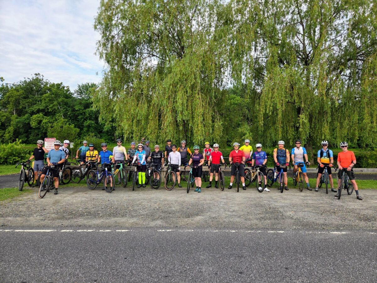
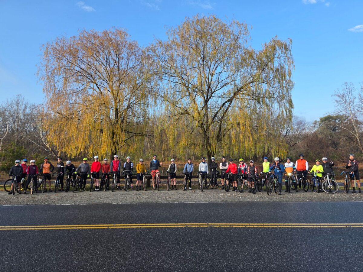
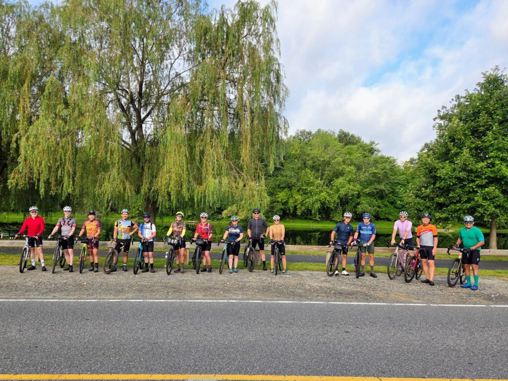
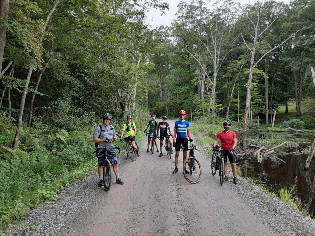
Photos from yesterday’s ride are below. The group photo is at the top of this post.
Entering the Steep Rock Tunnel
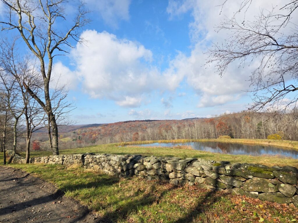
Great views from our route.
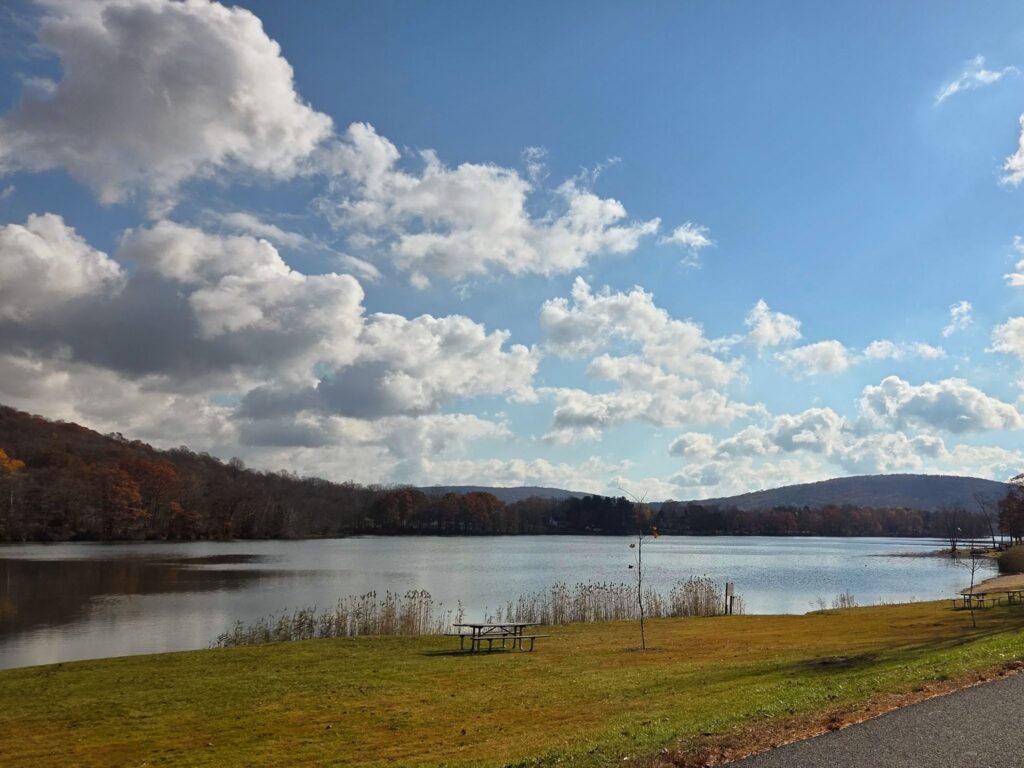
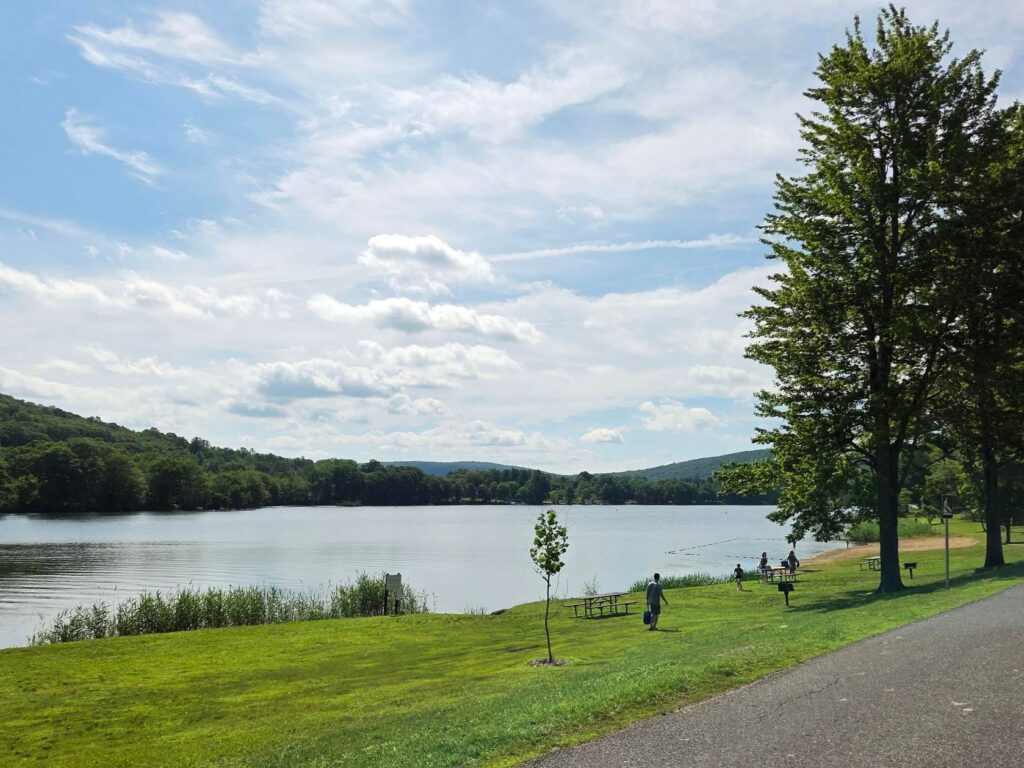
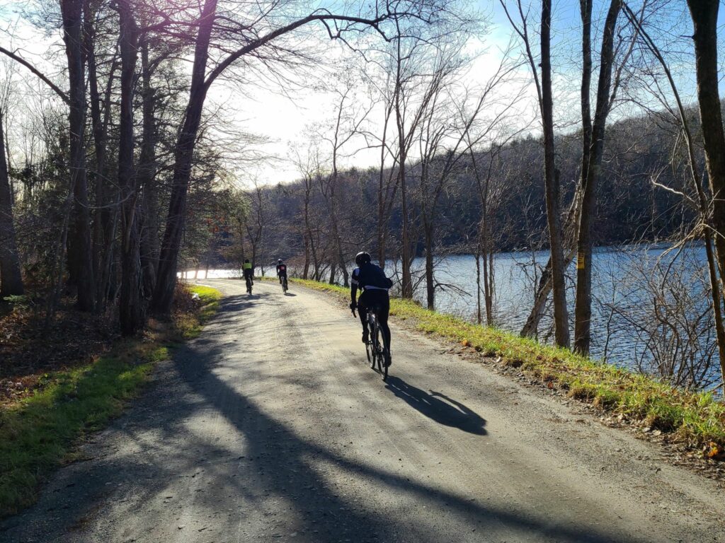
A short visit to the shores of Lake Waramaug gave us a temporary respite from all of the climbing.
Join us while we’ve still got nice autumn weather! We’ll be riding this Saturday and the following Saturday (weather permitting for both). Beyond November 15, we’ll have to play it by ear given colder weather, holidays, etc.
As always, GrNY rides are free and open to all experienced cyclists. Just make sure you are 1) up for the distance and the climbing and 2) that you’ve read all of our ride guidelines carefully!
Saturday, Nov 8: THE TUNNEL (New Milford, CT) This route is a favorite for Kathy and Steve! You’ll travel to the famous tunnel in Steep Rock Preserve. Spectacular riding, lots of dirt, and challenging climbs from start to finish. We might even see some goats on the trails. We’ll hang out at Housatonic River Brewing after the ride! Their kitchen is now open and has all kinds of good stuff.RSVP at this link on Strava
Saturday, Nov 15: Wolves of Waccabuc (Katonah, NY) – Season Finale??? Did you know there are wolves in Westchester? They are safely housed at the Wolf Conservation Center. We won’t be visiting any of the Ambassador Wolves during this bike ride, but we’re naming the route in their honor! The first part of this route is similar to our “Westchester Dirt” route from 3.5 months ago, but the second half contains a lot of new roads. Come ready to explore some new dirt and revisit some old favorites!RSVP at this link on Strava
This ride is over, but we’ll have more rides posted soon! You will find some photos and highlights from the ride on Steve’s Strava post. We’ve also added a few photos from this year’s ride at the bottom of this post.
Join us for one of Kathy’s favorite routes in Litchfield County, CT. The riding is spectacular here and will include the scenic shoreline of Lake Waramaug. We will have three “pace groups”, which will differ in speed, distance, and intensity of climbing.
Expect country roads, a civilized stop in Kent, CT for baked goods and coffee, and a visit to Lake Waramaug. There will be some climbs, but nothing like the Tunnel Ride in June! We had a great time last year and had some fun wildlife sitings. We saw a young bear running down the road, a bobcat, hawks, and other surprises (see here: https://www.strava.com/activities/11888393334)
Stick around after the ride! We’ll picnic next to the river. Kathy and Steve will bring a big cooler of drinks and snacks to share.
Young bear on the road! From last year’s version of this ride.
Expect beautiful riding along Lake Waramaug as an interlude between dirt sections.
PHOTOS FROM THIS YEAR’S RIDE:
Riders gathered by the Housatonic River
Medium group headed into Lake Waramaug State Park to refill water bottles.
Long Distance group cruising along Schaghticoke Rd near Kent, CT.
Yesterday, members of the GrNY group did this ride for the first time. I’ve had a couple of requests for the RidewithGPS route, hence this ride report. For those who don’t know, Strava events (and their routes) disappear from the group page once they are over.
From my Strava feed: “It was an awesome day on the bike with some excellent company (most of whom woke up before 5am so we could get to the ride start before NYC traffic started!). There was much excellent dirt and plenty of climbing. Those of us who are more road/gravel oriented got several hundred extra feet of climbing by taking the paved way down Skiff Mountain. Those with better mountain bike skills chose the dare-devil, gravel descent (steep, winding, narrow, loose gravel, with potential uphill jeep/ATV traffic). Thanks to Mark L for the spectacular route that he created in 2015 — and his advice for further improving it prior to our ride today!”
NOTES: 1) There were a couple of places with road work/closures, but on bikes, we were able to pass through. 2) Make sure you are well-stocked with food and water (e.g. in Kent) before starting the upper loop. You won’t find any places to refuel up there. 3) The route above takes the paved way down Skiff mountain (safer), but choose your own adventure (at your own risk).
* This route has no affiliation with the official Macedonia Gravel Grinder event, which will be happening for the first time this summer. I have no idea which roads that event will take, aside for obviously traveling through the lovely Macedonia Brook State Park.
Pawling Nature PreserveHousatonic RiverUp up up… There was plenty of climbing on the day (>8,000 ft according to most of our bike computers)
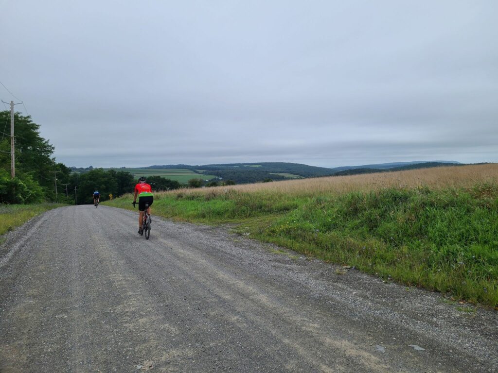
On Sunday, August 29, GrNY riders (including two new members) lined up to tackle either a 50+ or 80+ mile gravel route that included the challenging climb up Skiff Mountain near Kent, CT.
Overall, it was an awesome day out. We had good weather for riding (highs in the 70s and no rain, despite the gray skies); the roads were in better condition than we expected given Hurricane Henri the week before; everyone managed to complete the route (either 50+ or 80+ miles), and we covered some beautiful rural roads through farms, forests, and nature preserves.
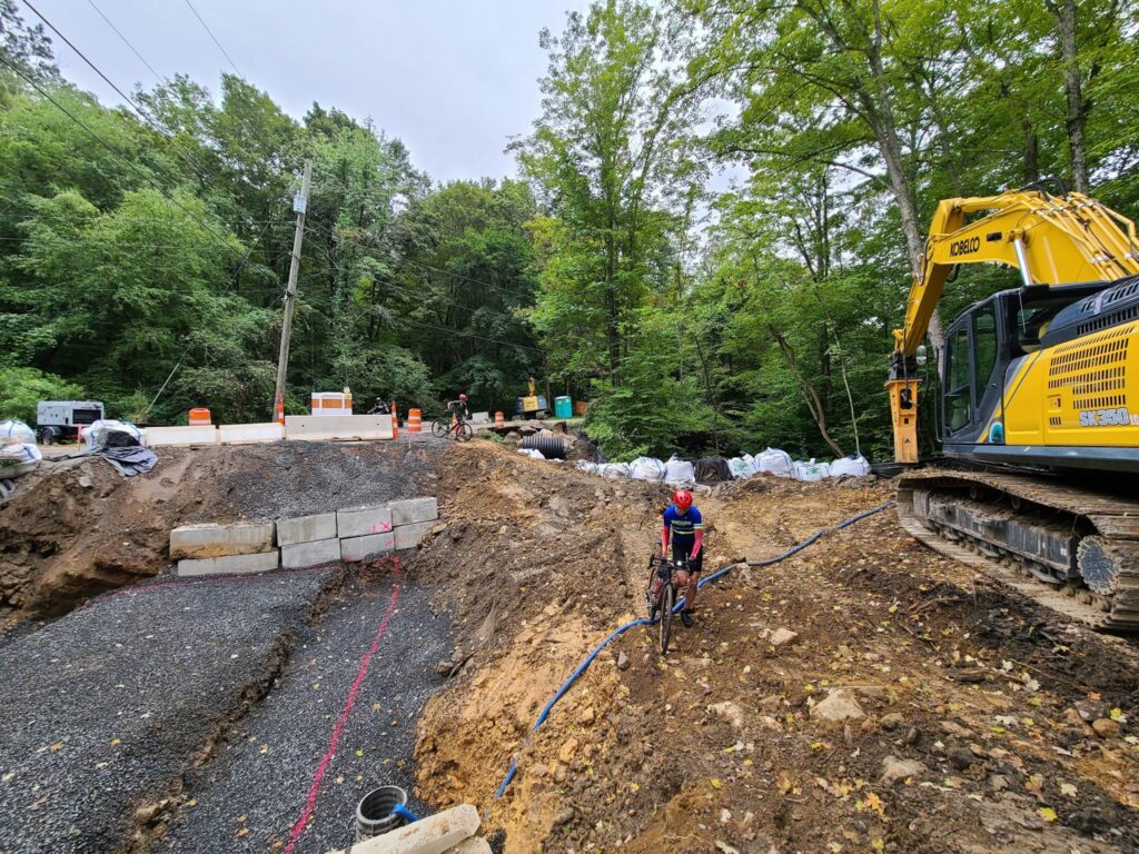
That said, the start of our ride didn’t go as planned! A running race led to the closure of the first part of our route. We managed to detour. About 9 miles from the start, we came to another closed road. The bridge was completely missing. Water pumps were running and there were no construction crews around, so we crossed the construction zone.
One of the ride highlights — or lowlights depending on how much time a rider spent riding vs walking — was the climb up Skiff Mountain via N Kent Road. This is a minimally maintained road that resembles a jeep trail more than the hard-packed dirt roads on the rest of the route. It is a significant climb (>1000’), it is very steep in places (up to 20%), and continues for a long way (2.5 miles at 9 to 10% average grade), but it is the loose surface that makes it particularly challenging.
A couple of us managed to ride the entire way (which definitely felt like an accomplishment). Others managed to ride most of the way, but had to walk the steepest or loosest sections (not enough traction). One or two riders probably spent more time walking. My only tips are to keep your weight back, try to pick good lines (i.e. look for the better-packed sections), spin smoothly, and otherwise try to keep your wheel straight (not turned) through the loose stuff. I was running 38mm slick tires, but I’m sure wider would have been better.
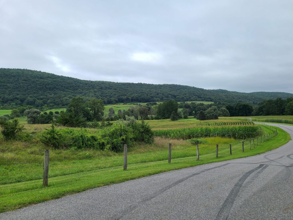
Splitting up: Soon after Skiff Mountain, around mile 26, we split into two groups. Some of us continued on the 80+ mile route, which travelled through picturesque dirt roads in Dutchess County, NY. Others stayed mostly within Litchfield, CT and passed through the beautiful Macedonia Brook State Park to complete 50+ miles on the day. The 50+ mile group confirmed that everybody made it and enjoyed the route. Our 80+ mile group put in a long, but enjoyable day on the bike, with our fuel tanks mostly drained by the end. Total distance was ~83 miles and between 7200’ and 7800’ of climbing depending on whose device and routing service you believe.
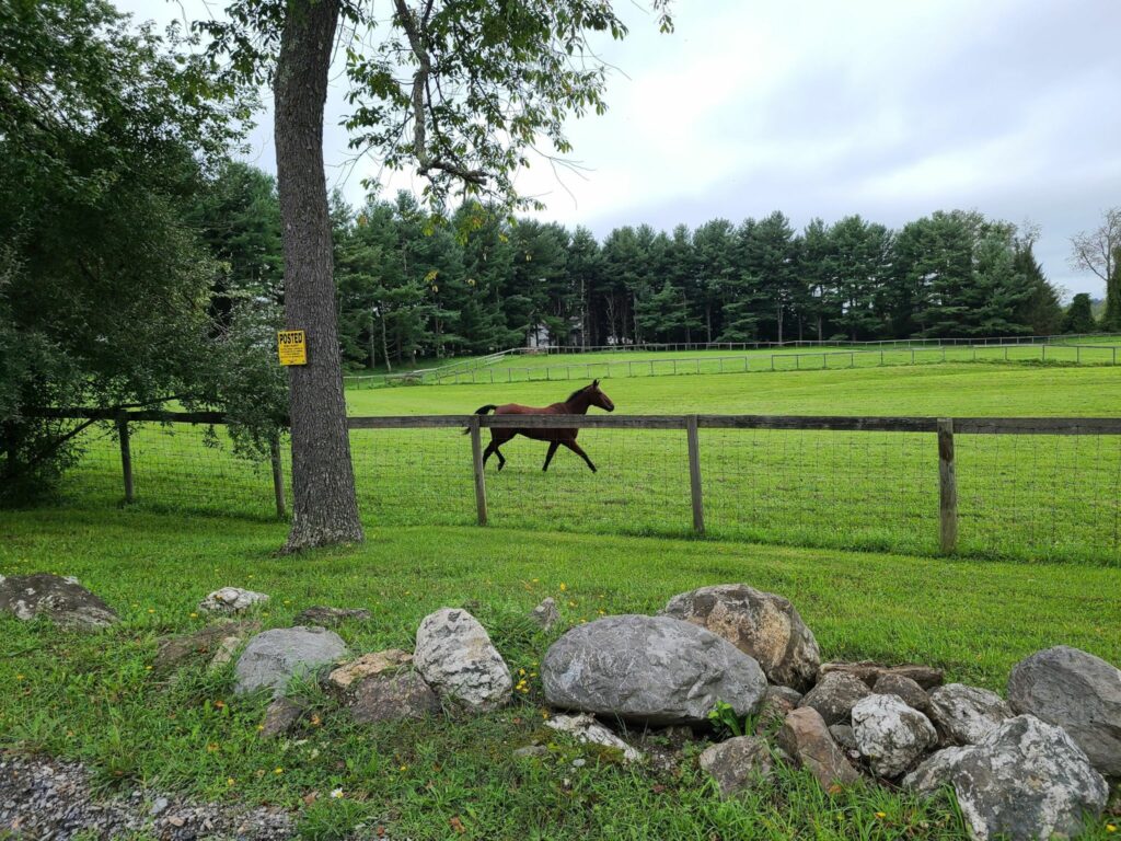
Dutchess County farm country.Riders (minus the photographer, Brian)Dirt roads. Sorry, but I don’t have any photos of the road up Skiff Mountain. I was working hard just to stay upright!More farm country (Dutchess County)Rolling hills of forest and farm.Where’s the bridge?Galloping Horses