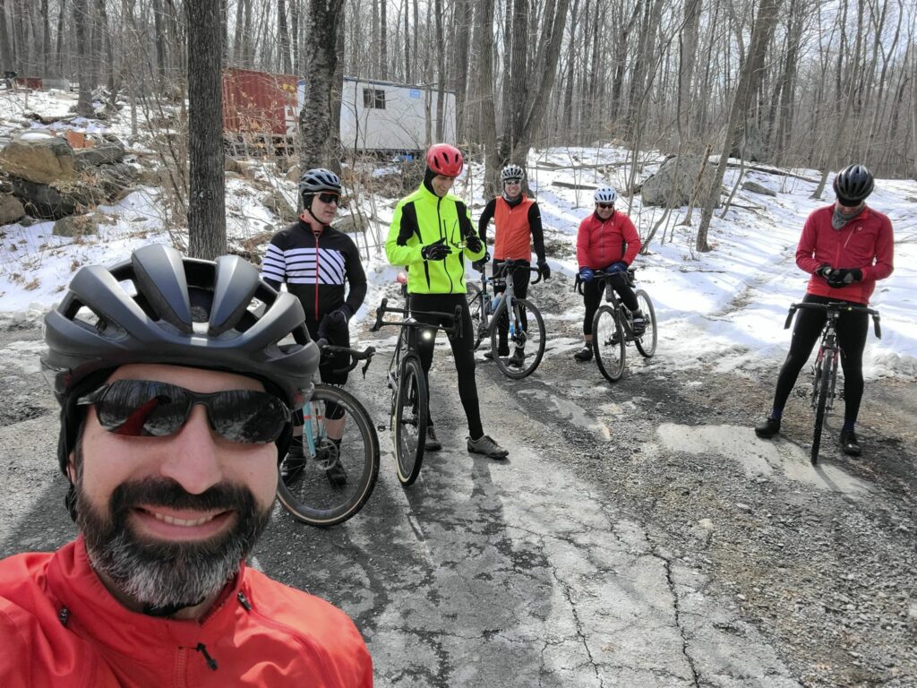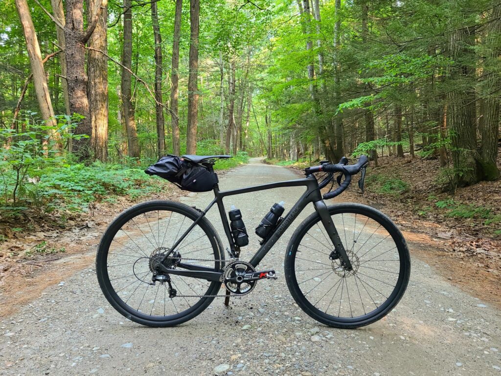
GrNY’s “Spring Gravel Series” (SGS) included 5 rides over 5 weekends and was great fun! Each ride had three speed groups, which corresponded to different route lengths (short, medium, long), so everybody would finish at about the same time to socialize after the ride. Join our Strava group to be notified of future rides (but see here first: https://grny.org/category/about-grny).
Just want the routes from each ride? Here’s a collection in RidewithGPS:
https://ridewithgps.com/collections/1897351?privacy_code=5fvuXMgvhsk25x93
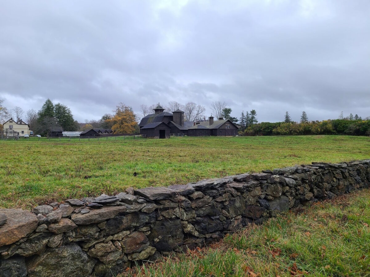
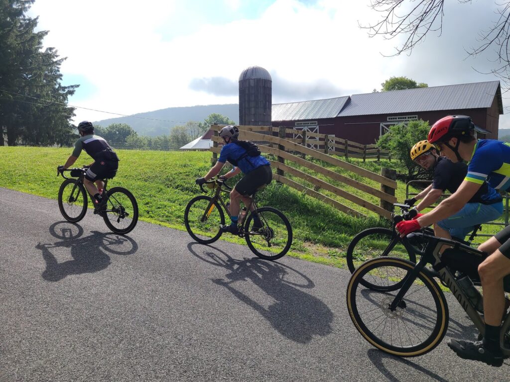
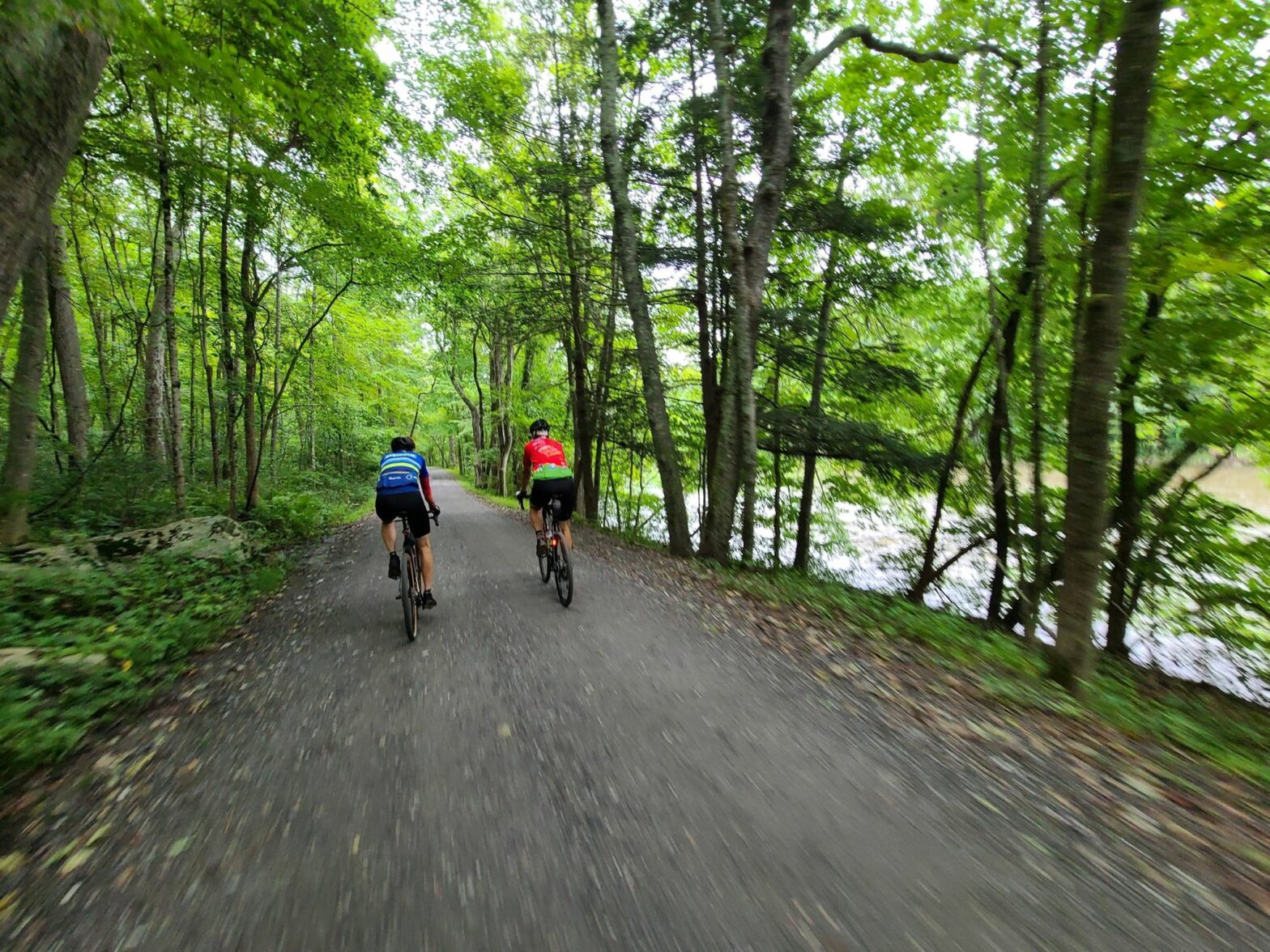
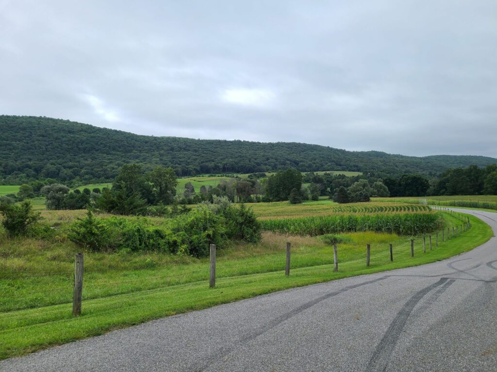
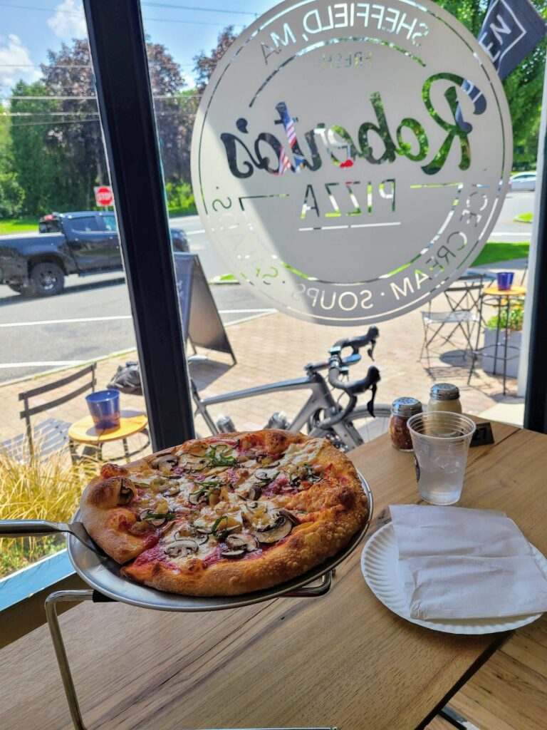
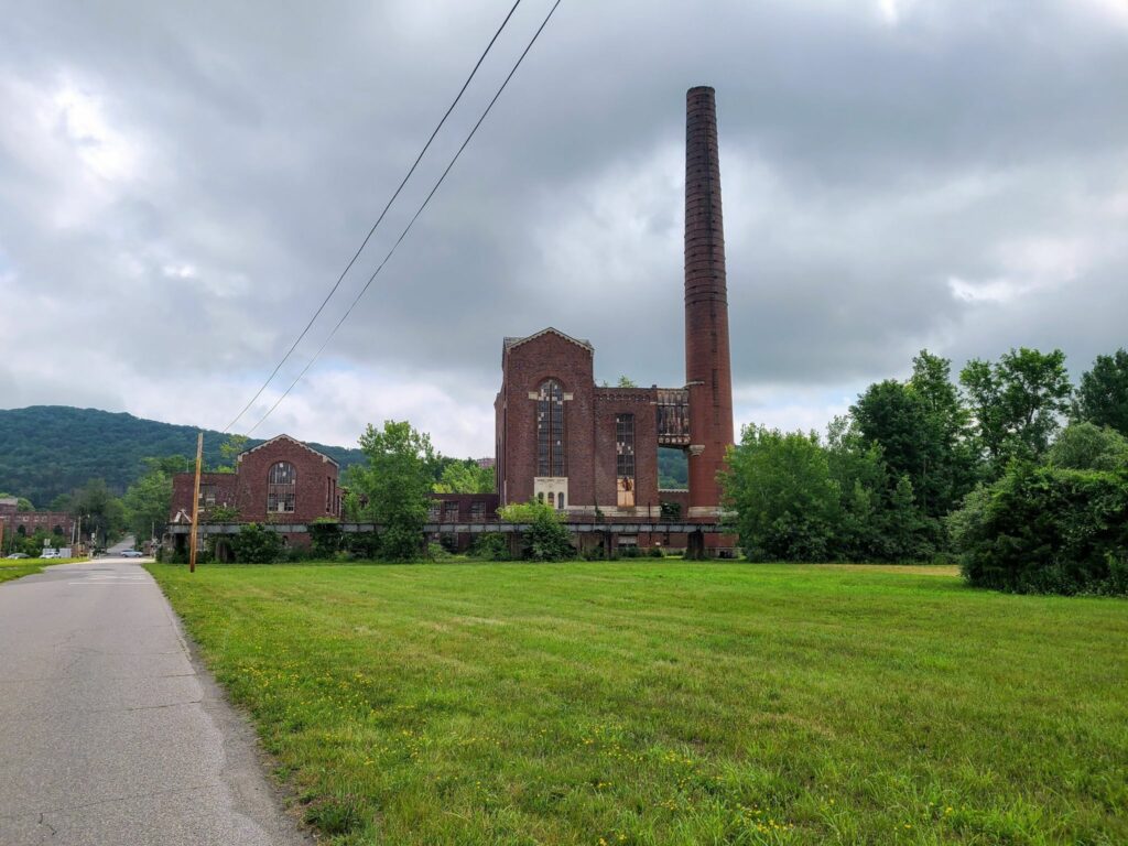
SGS1 – Katonah, NY (May 6, 2023). Our first Spring Gravel Series ride of the year was an awesome time! Thank you to everyone who showed up and made it the fun day that it was. We travelled on some of Westchester’s most scenic rural roads. Many of us celebrated together after the ride at Paulie’s Deli, which has only about 5-6 taps, but always good stuff in them. Today’s selection included Lawson’s Finest Liquids: Sip of Sunshine, Maine: Lunch, and other non-IPA beers, of course. Those cold beers were well-deserved!
Photos and ride stats (Steve’s Strava profile):
https://www.strava.com/activities/9023394582
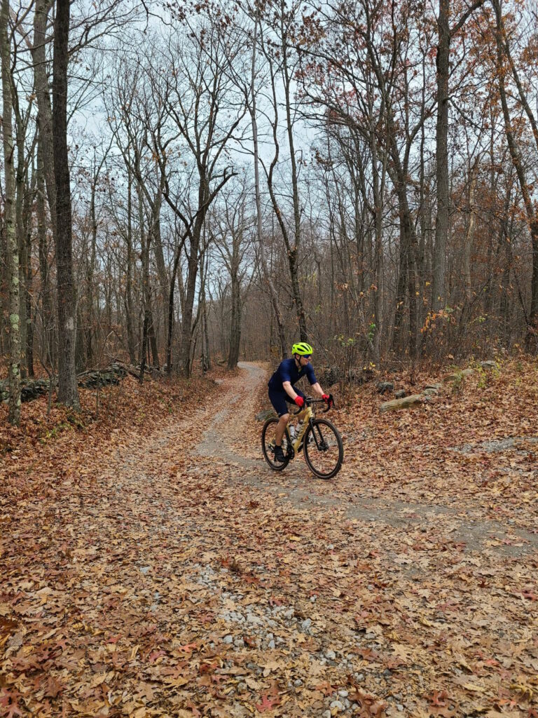
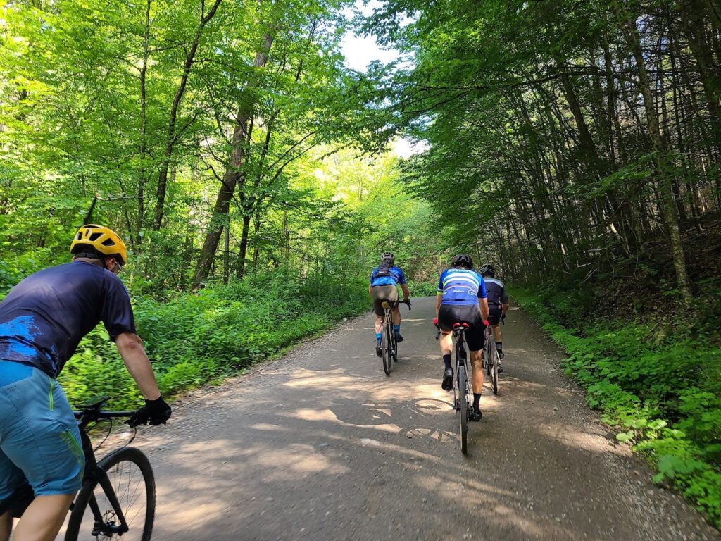
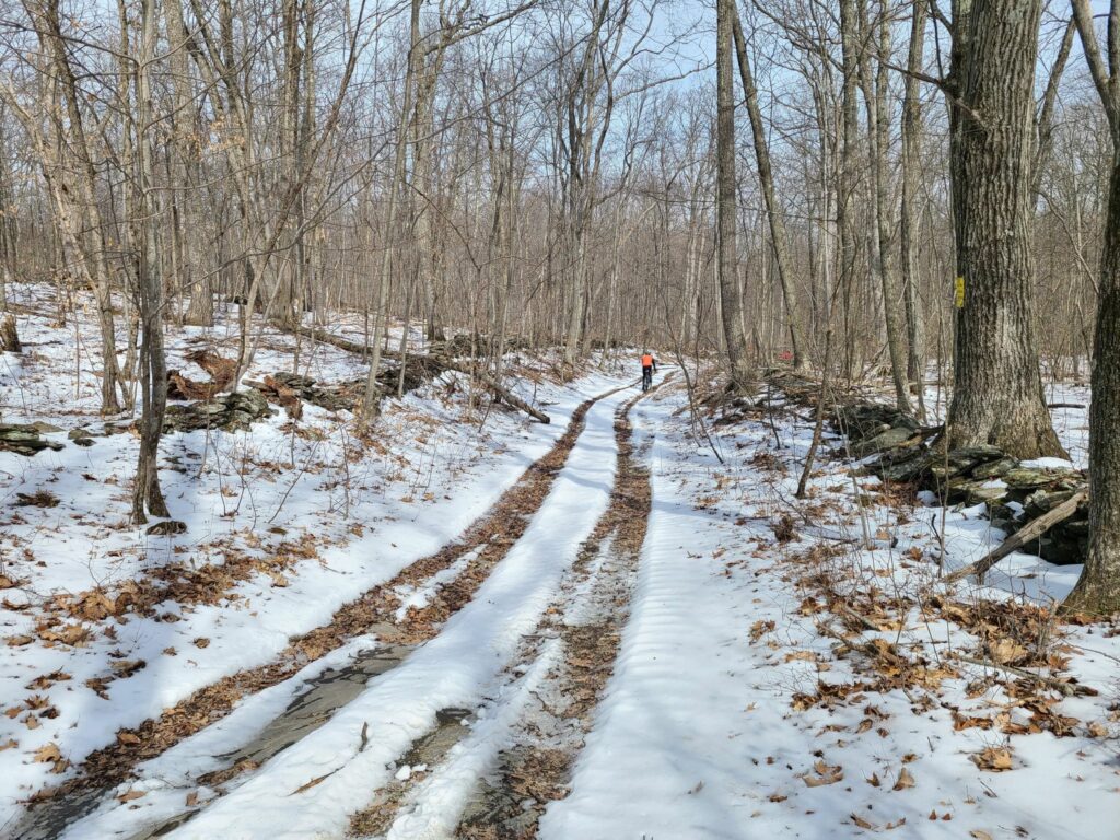
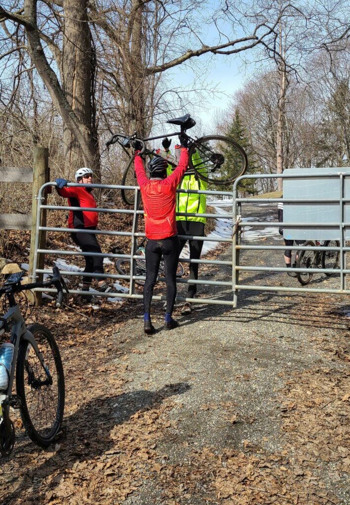
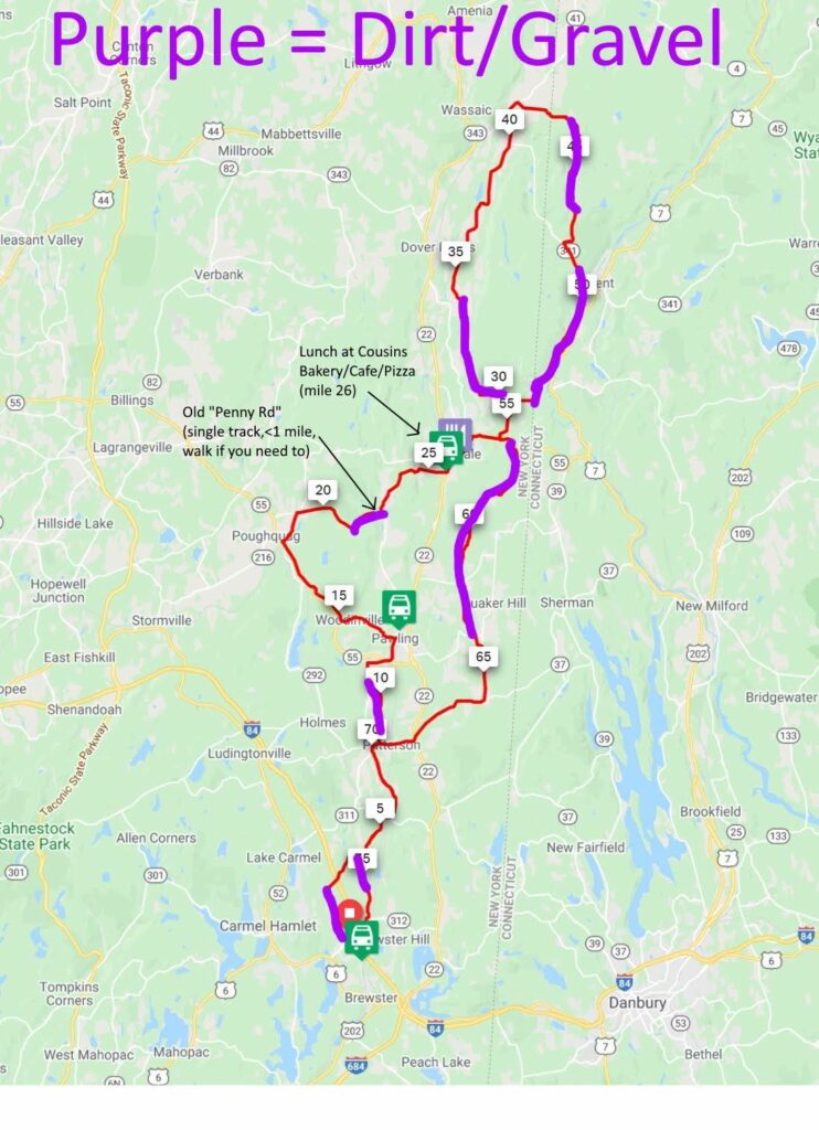
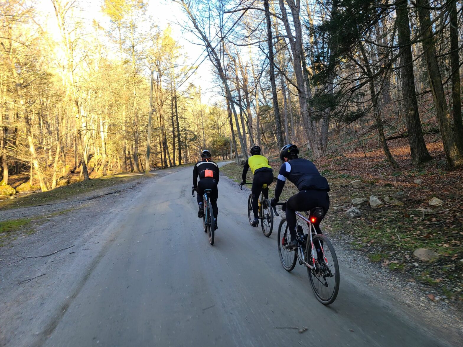
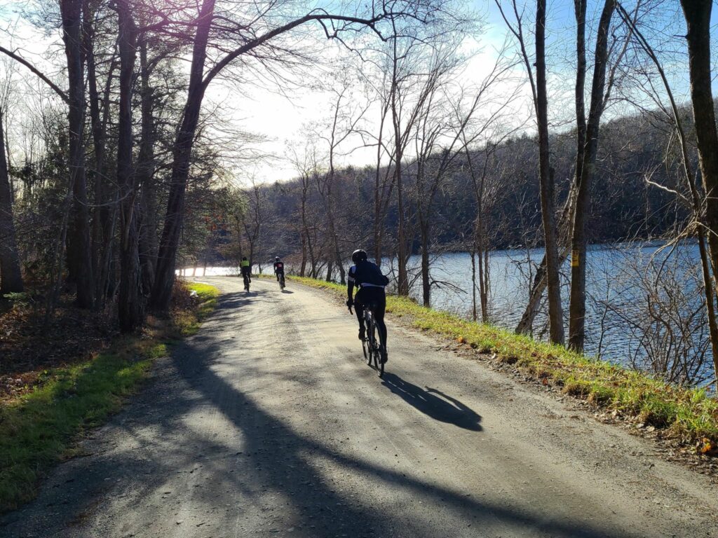
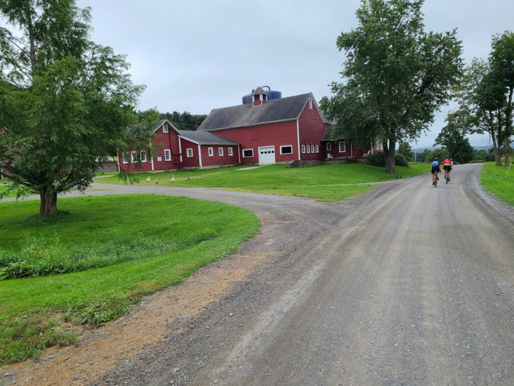
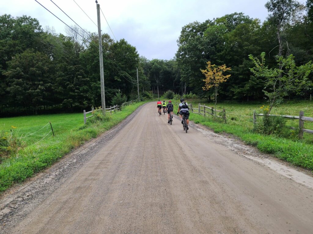
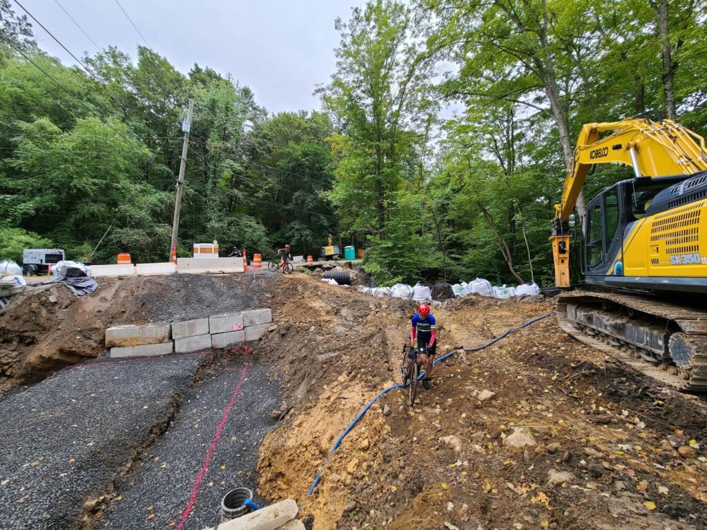
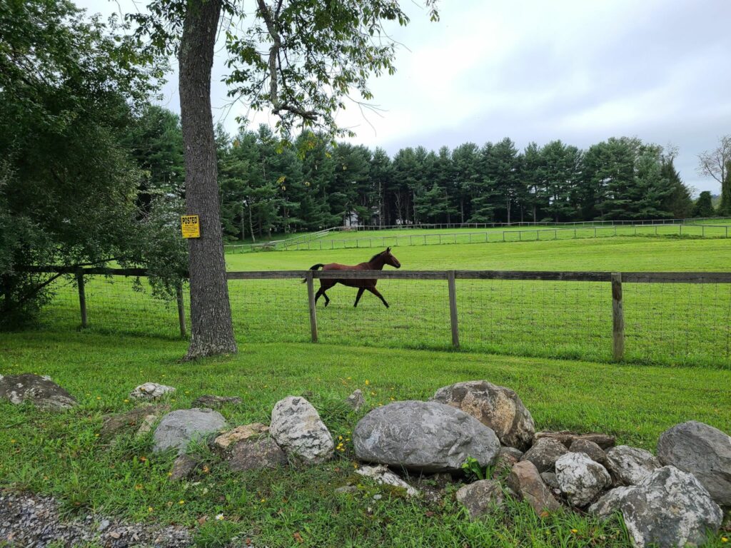
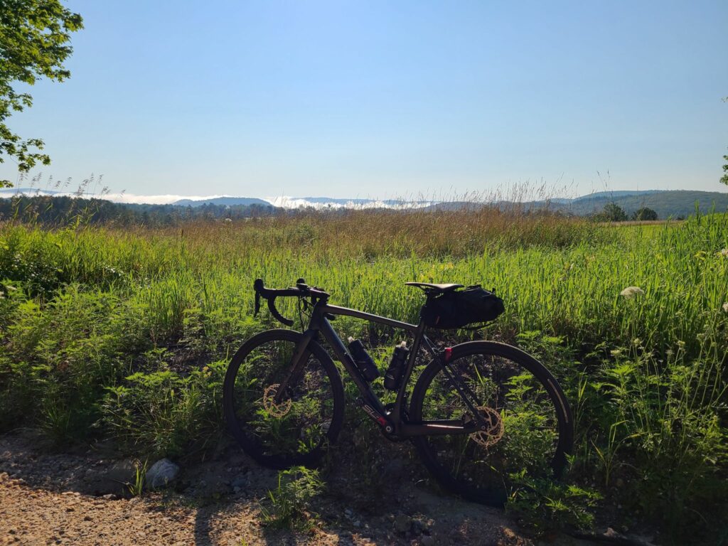
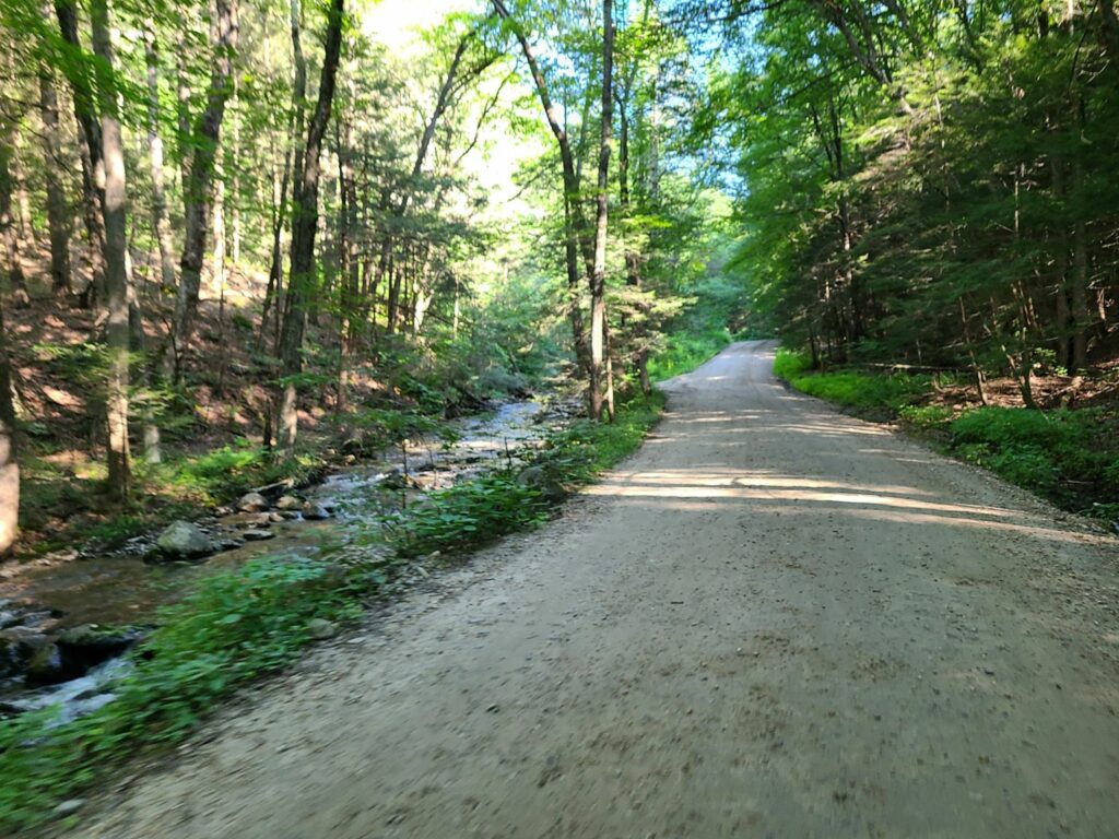
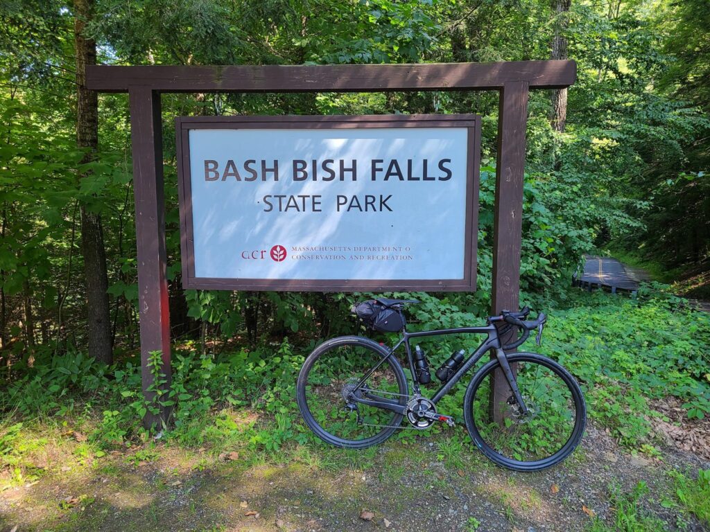
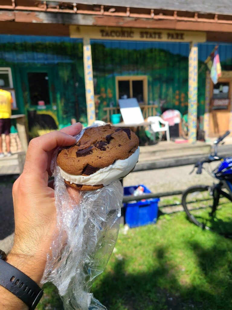
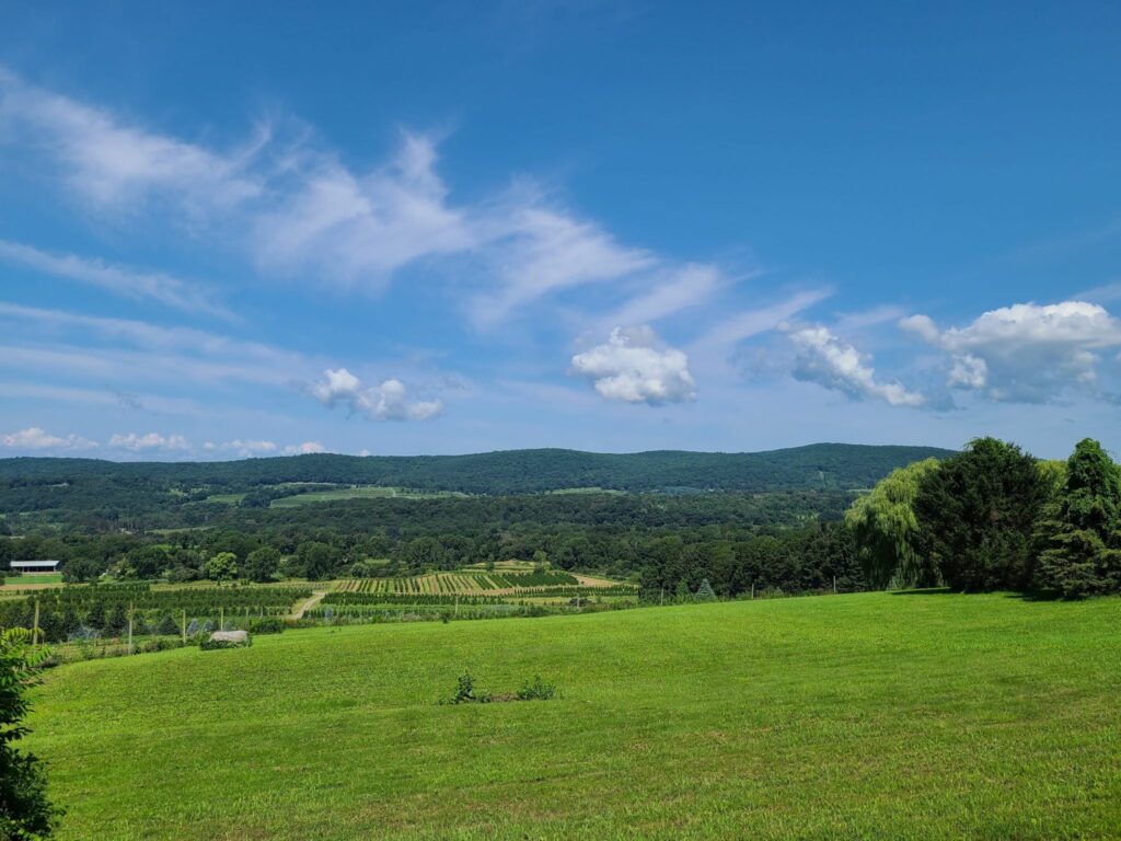
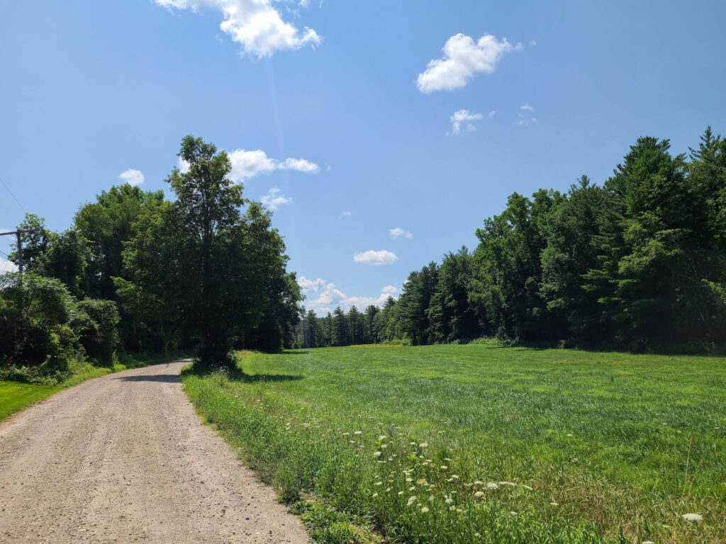
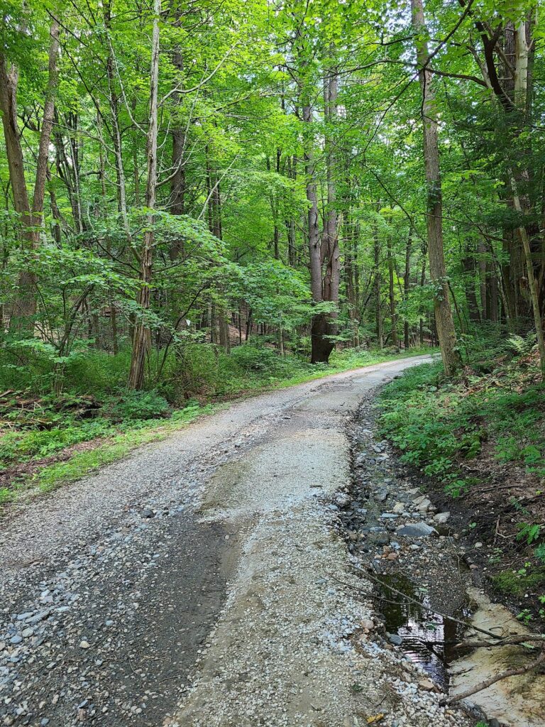
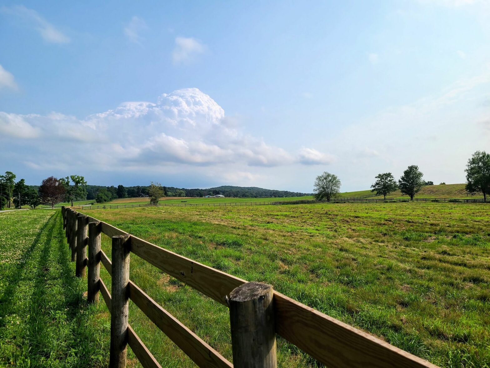
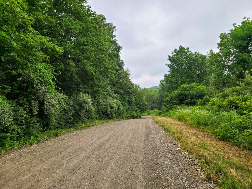
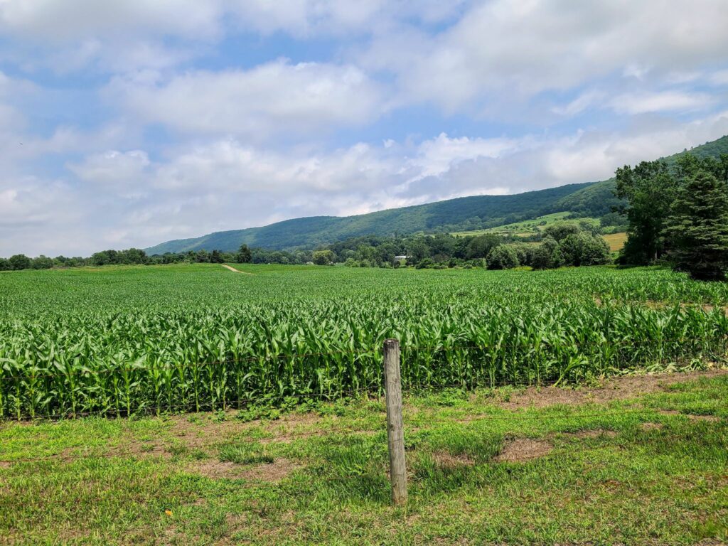
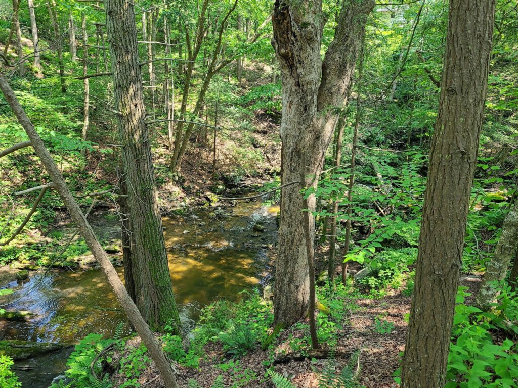
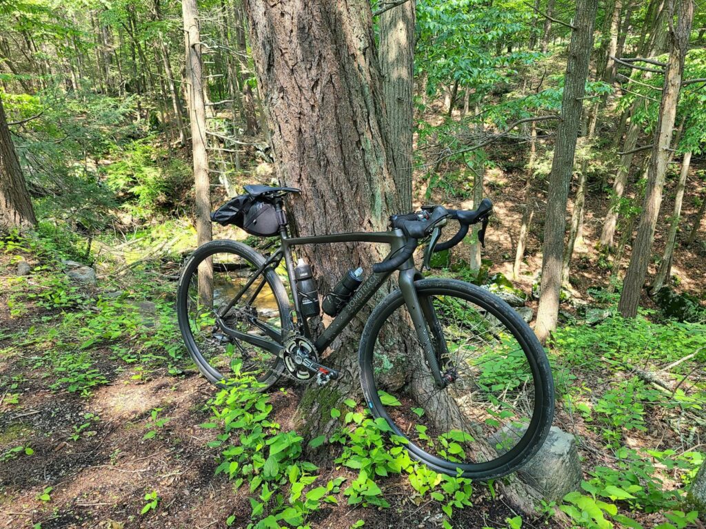
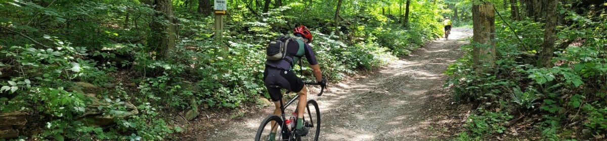
SGS2 – Dover Plains (May 13). It was an awesome ride. The long distance group had a fast bunch and we cleared this beautiful course impressively quickly. This route includes many of Dutchess County’s best dirt roads, including some hidden gems. We tackled the gorgeous streamside climb through Wassaic (Tower Hill Rd), Ludlow Woods Rd, Deep Hollow Rd, and so many other great spots. We saw everything from forests with deer hopping across the trail, to farms full of animals, to ridges with long pastoral views in the distance. Many of us capped off the ride together with burgers, ice cream, and beer.
Photos and ride stats (Steve’s Strava profile):
https://www.strava.com/activities/9066076684
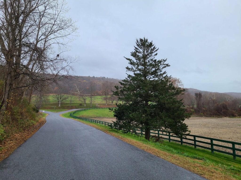
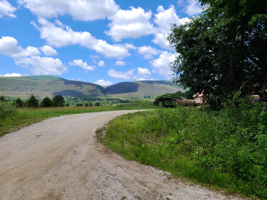
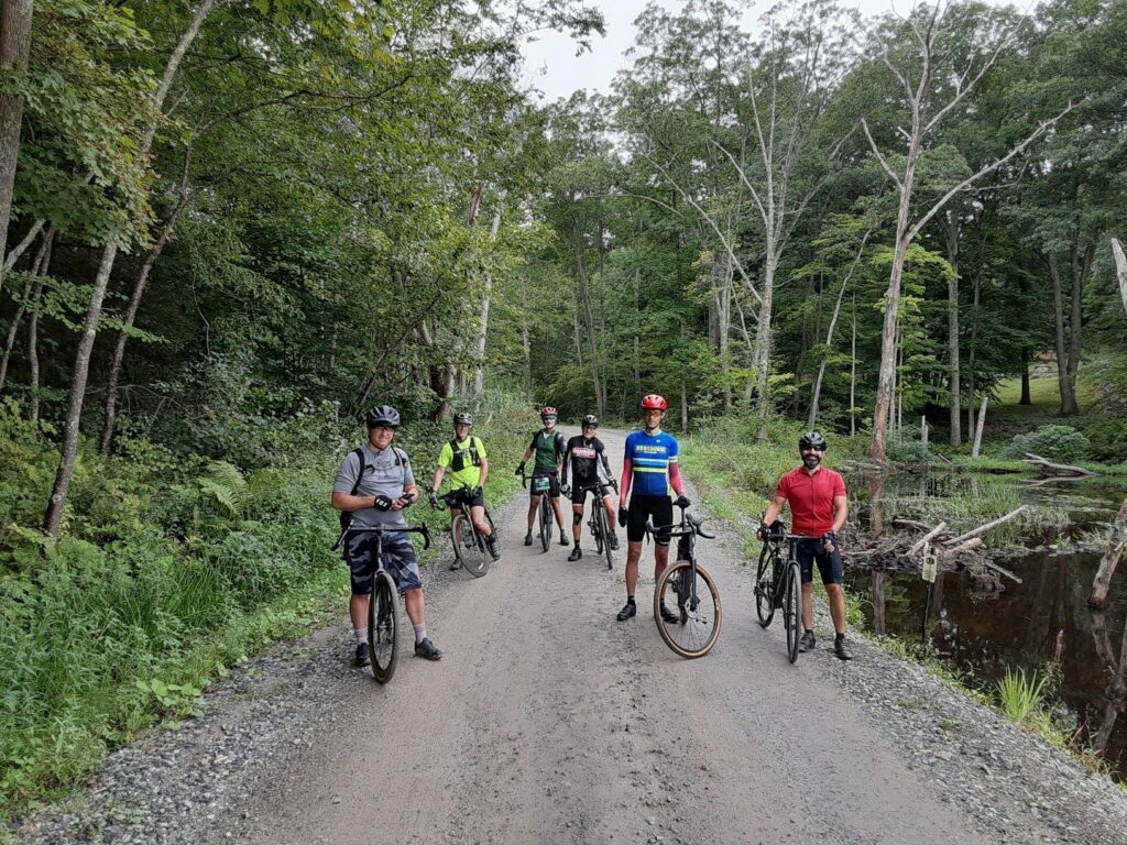
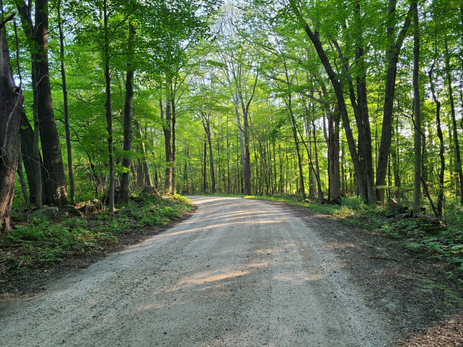
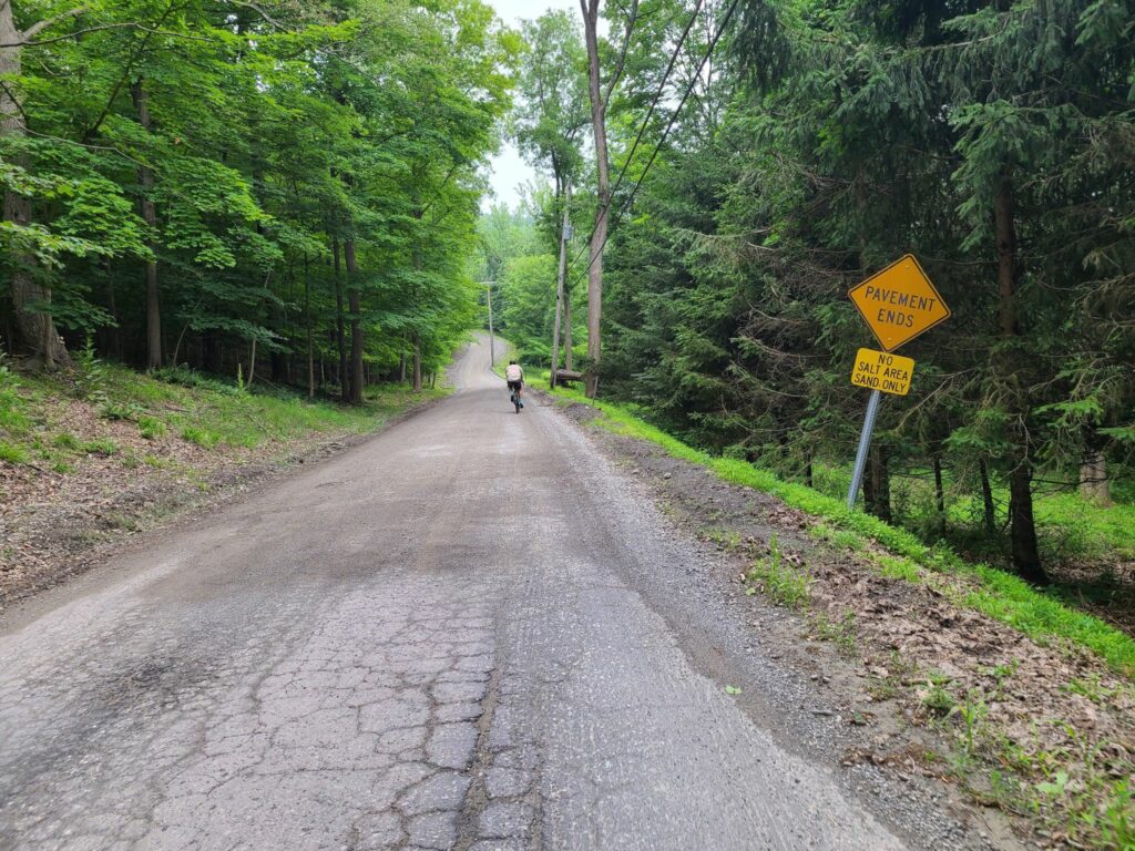
SGS3 – Pawling, NY (May 21). Beautiful and fun ride! Thanks everyone who joined us today. The weather was perfect (warm enough for comfort, but not hot enough to overheat), and the condition of the dirt roads was really good. There were only a few rare spots that were soft from the previous day’s rain. And the route was as beautiful as I remember it. Many of us celebrated with cold beer and food at O’Connor’s Public House after the ride.
Photos and ride stats (Steve’s Strava profile):
https://www.strava.com/activities/9115448504
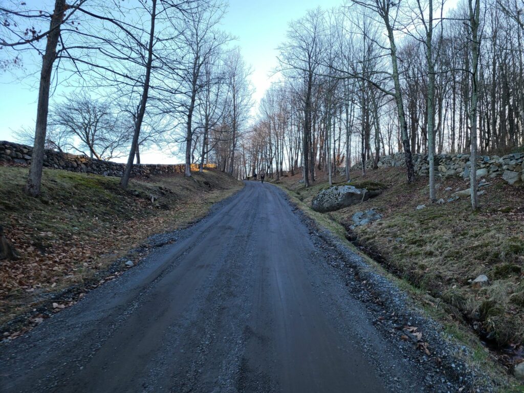
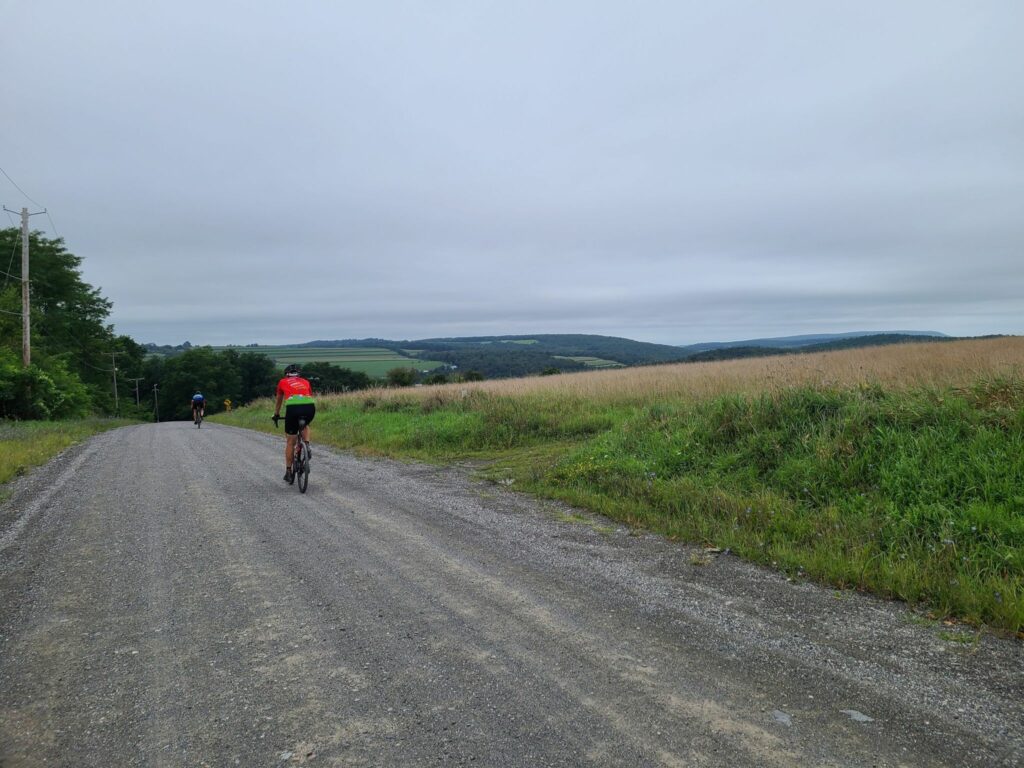
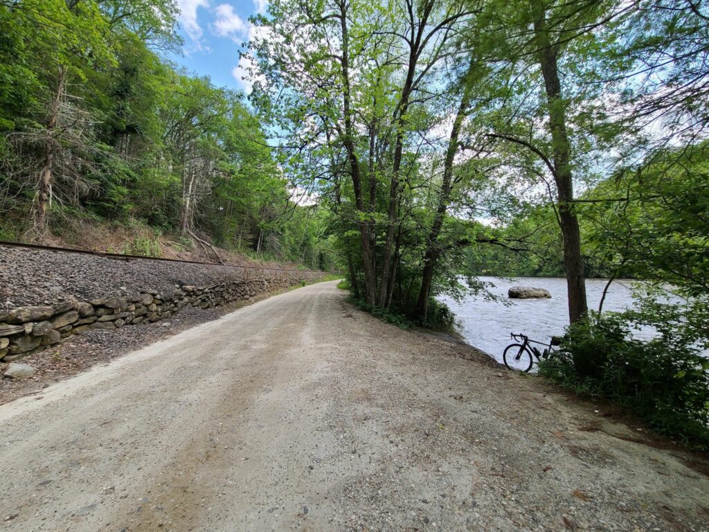
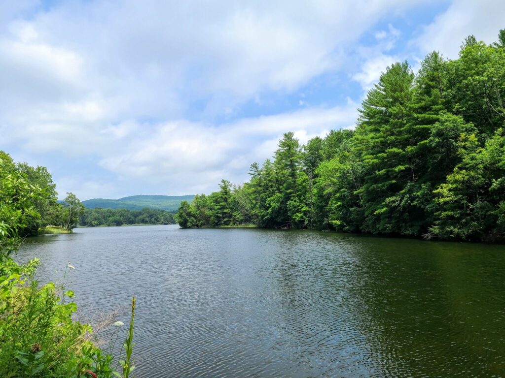
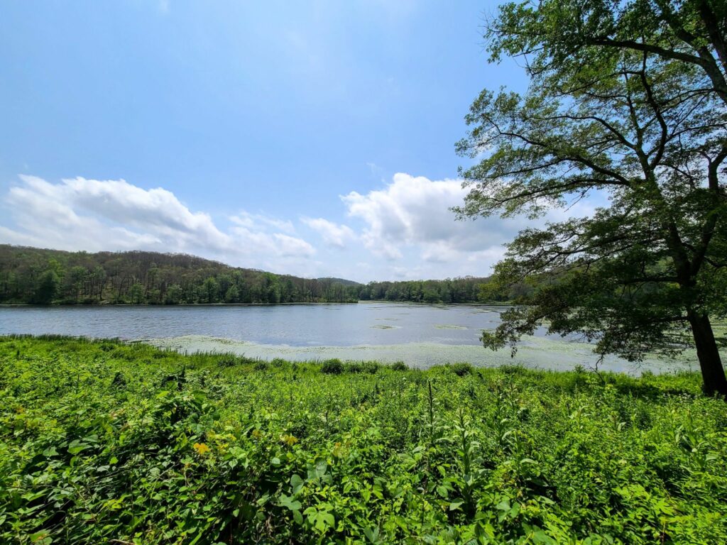
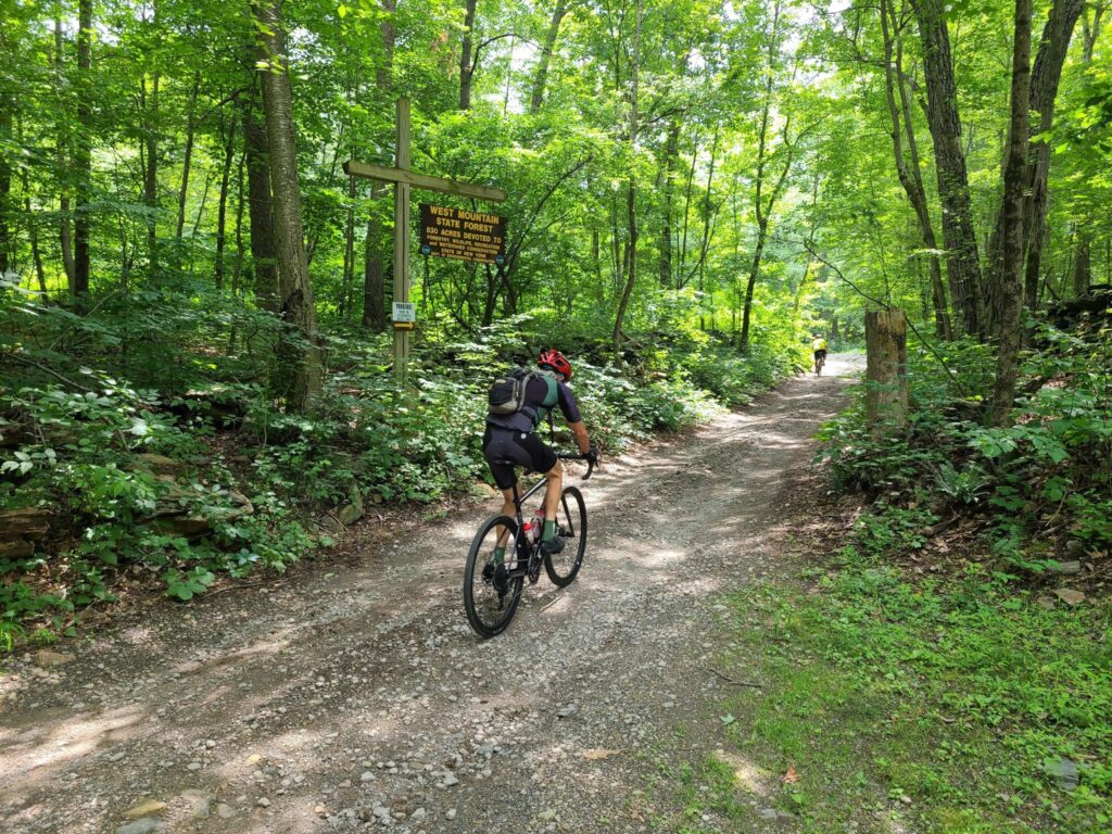
SGS4 – Cold Spring, NY (May 27). Awesome ride with a huge turnout! Much of the ride took place near Fahnestock State Park, with lots of fun and challenging climbs. We found all the hills today! The “long”, “medium”, and “short” distance groups accumulated ~7500ft, ~5400ft, and ~4800ft, respectively. There were beautiful forested roads, ponds, crazy climbs, and steep descents. A really fun time! Some of use stuck around for beer, ice cream, and snacks by the Hudson River in Cold Spring.
Photos and ride stats (Steve’s Strava profile):
https://www.strava.com/activities/9152286381
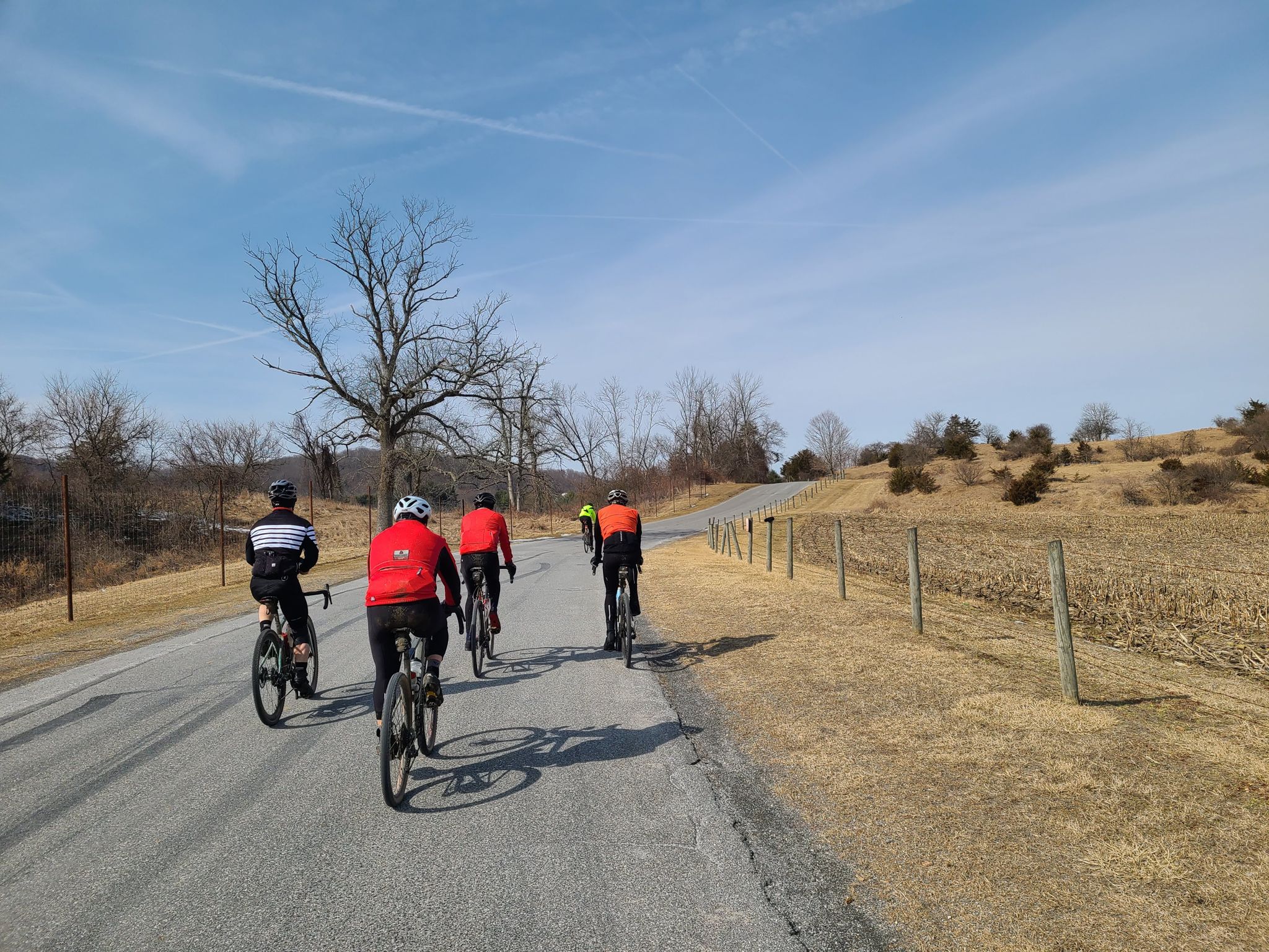
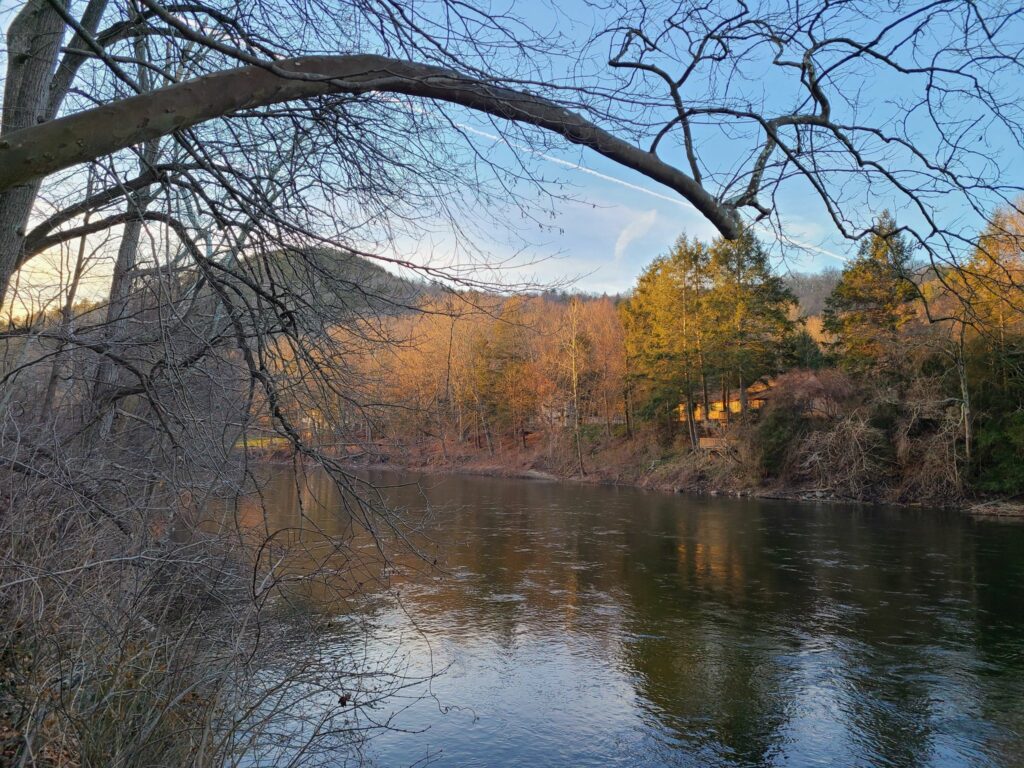
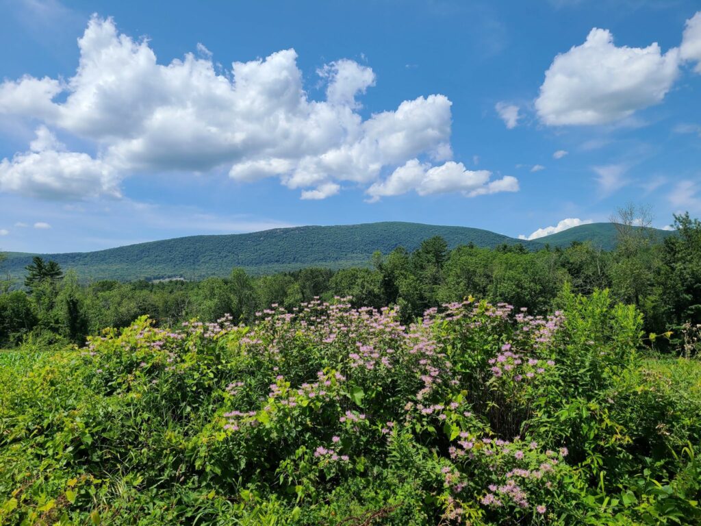
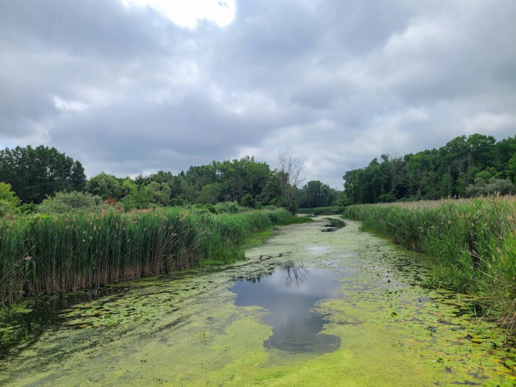
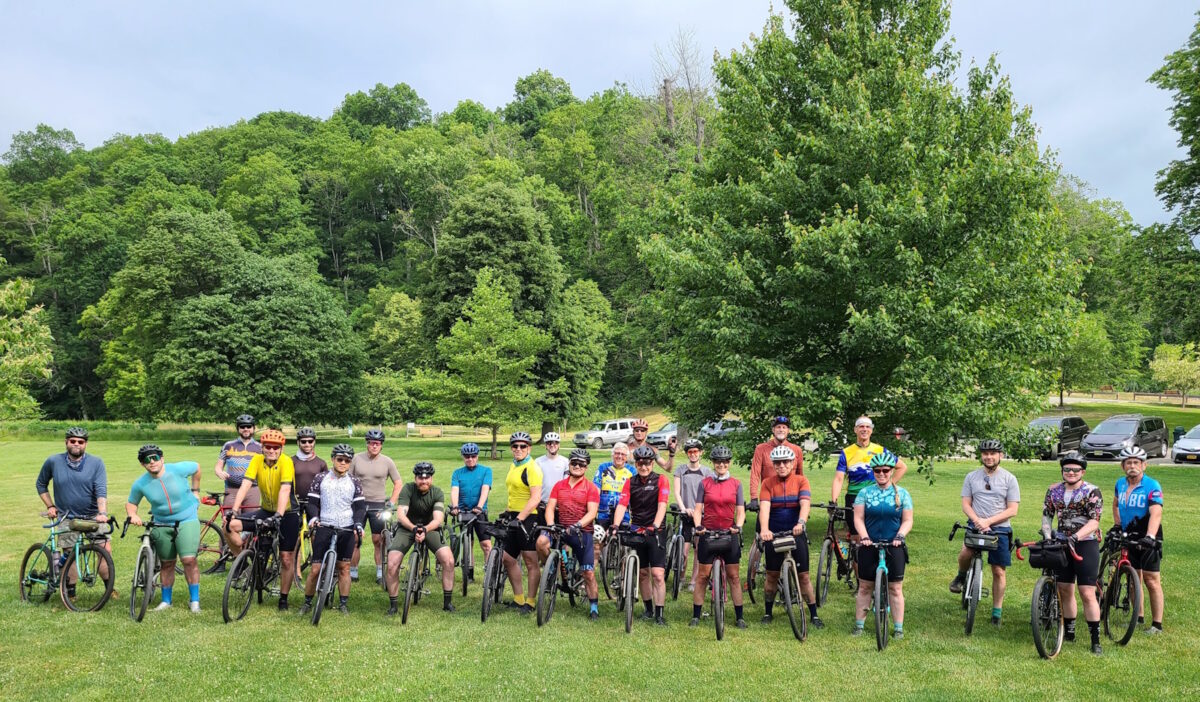
SGS5 – Far Hills, NJ (June 3). Spectacular ride. We traversed some of the region’s best rural roads, tackled the rugged climb through the Teetertown Ravine and later traveled through the spectacular Lockwood Gorge. The rest of the ride was wonderfully scenic, too. We had a great turnout – and missed a few from the group photo, as always. Most people joined us for drinks and snacks at the park after the ride. It was great to catch up with returning riders and to meet many new folks!
Photos and ride stats (Steve’s Strava profile):
https://www.strava.com/activities/9196314449
Questions? Feel free to reach out to Steve (track.smart@gmail.com).