My Saturday ride was *not* a GrNY group ride, but I thought I would share a scouting report for those who are interested in riding in this lovely region in the future. I don’t recommend taking my exact route (i.e. don’t do this: https://www.strava.com/activities/5681995427). But I have posted a revised version below.
The heart of my ride was Mark L’s 2021 Mt Riga route, which he has characterized in detail (https://www.cyclesnack.com/2021/07/annual-mt-riga-pilgrimage.html?m=1). Thank you Mark! In my infinite wisdom (i.e. foolishness) I decided that I wanted an extended version of Mark’s adventure. The version I rode ended up being 80 miles and ~7500′ of climbing.
Overall: It was an epic ride that included the ~1250′ climb up Mt Riga, the steeper ~1000′ climb up Sunset Rock, and the beautiful (flat) River Rd along the Housatonic River just north of West Cornwall. My version added a pleasant southern gravel loop in the Sharon, CT region, which could easily be extended by continuing in the southeast direction (see GravelMap.com if you are unfamiliar). I had originally mapped >90 miles before sanity kicked in and I cut it down to 80.
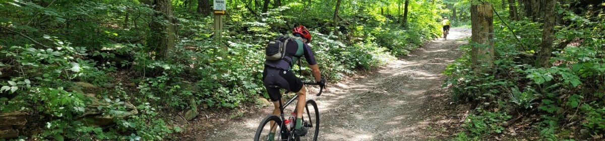
Interesting dirt/gravel sections (in order of appearance):
- The Mt Riga climb (1250′) was not as tough as I had expected/feared. It was long, but the average grade was ~5% and the really steep sections were not too long.
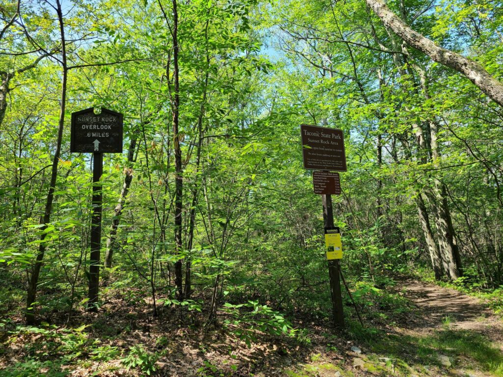
- Sunset Rock (1000′) was actually tougher with a much steeper average grade on the main climb.
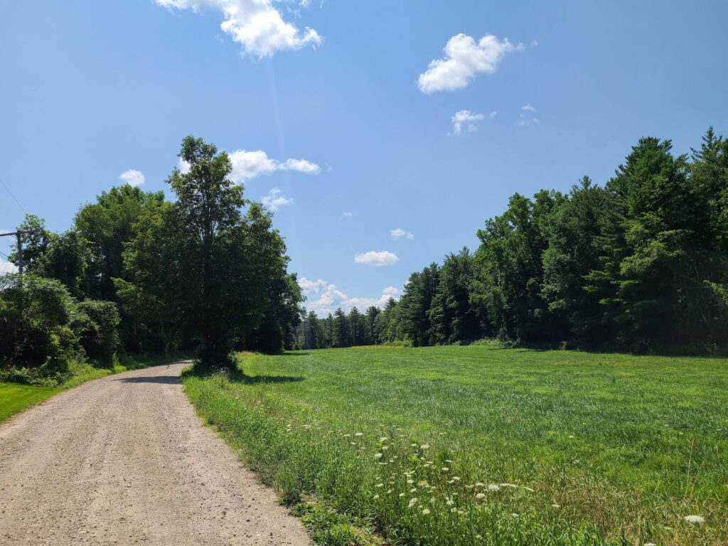
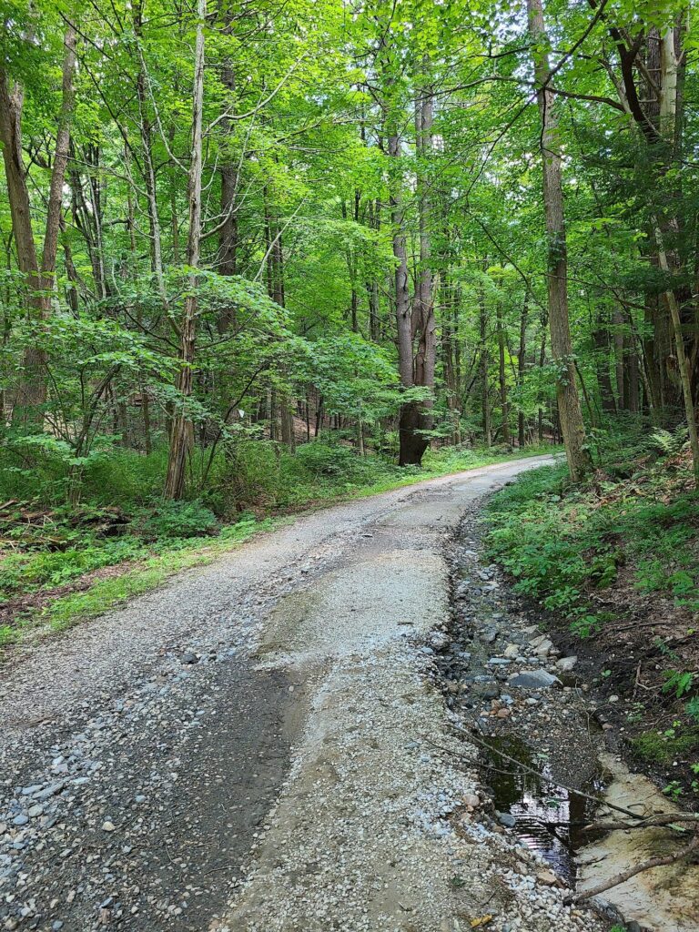
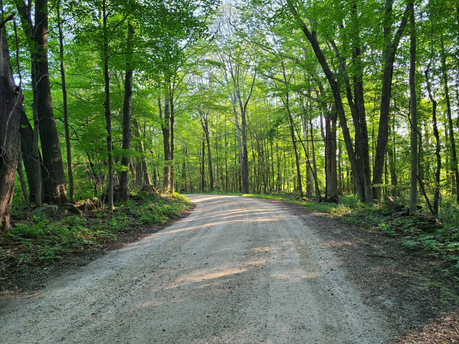
- Between the Lakes Rd (mostly flat) was a wonderful stretch of dirt between Washinee Lake and Twin Lakes. Great water views in both directions.
- Wildcat Hollow Rd (mostly flat) was somewhat true to it’s name in that it was a minimally maintained, very rough section of dirt/gravel through the woods. A bit more technical than other roads mentioned thus far.
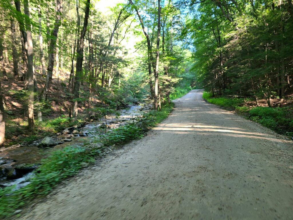
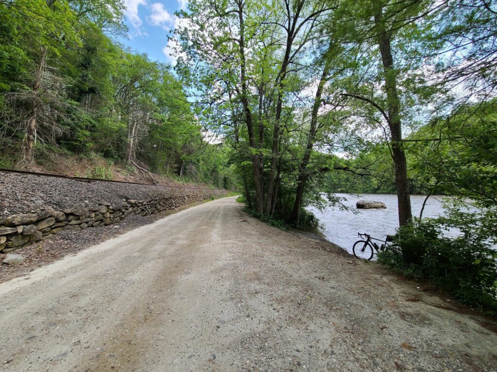
- The section of River Rd (flat), just north of West Cornwall, was a lovely highlight. It was between a seemingly rarely-used train corridor and the impressive Housatonic River.
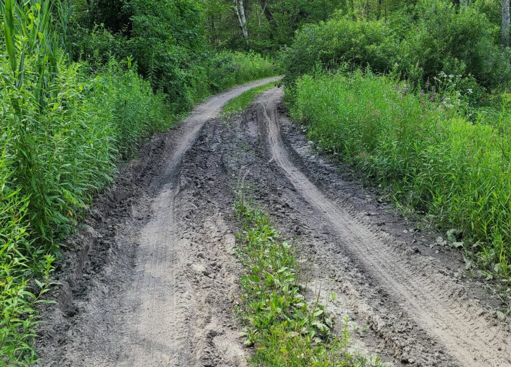
- Mt Easter Rd and Clay Bed Road (skip it): I rode this 3.5 mile sand pit so you don’t have to! After climbing at 9% average grade for 1.1 miles in the afternoon sun (up Swaller Hill Rd) I entered Mt Easter “road”. I would characterize it as an unimproved jeep and ATV trail with big washouts and deep sand in many places. I continued for the complete distance, slowly fishtailing in the sand, bunny hopping over gulleys, and nearly toppling over a few times. If you are going to visit here, don’t do it on 38mm slicks like I did!
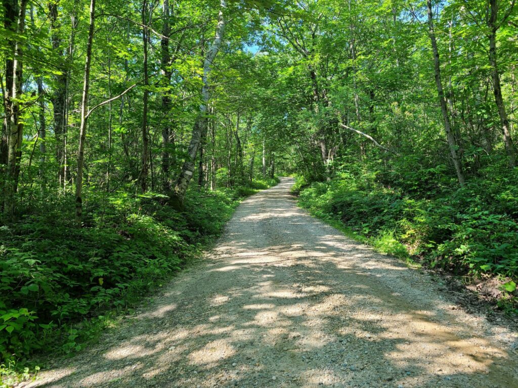
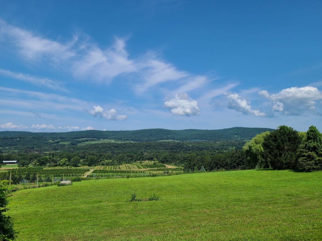
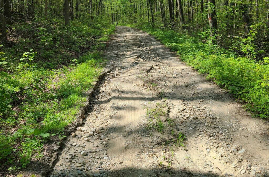
- The southern gravel loop included Butter Rd, Bowne Rd, and Tichnor Rd. These were very pleasant forested gravel roads over rolling terrain. They were mostly well-maintained.
Mark’s 2021 Riga Route (67 miles, ~5700′): https://ridewithgps.com/routes/36676051
Steve’s extended version (78 miles, ~7000′): https://ridewithgps.com/routes/36928079
– This improved version removes the 3.5 mile Mt Easter Rd section of sandy jeep/ATV trails. By consequence, it also removes the Swaller Hill Rd climb.
Parking: Nobody gave me trouble for parking at the Sharon Audubon Center on a quiet Saturday, but there were tons of signs saying ‘no parking’ during morning and afternoon camp pickup hours (presumable on weekdays?). Mark’s ride starts at Housatonic High School, but I’m guessing that parking is only allowed on weekends when school is not in session? Maybe someone who is local can chime in.
-Steve