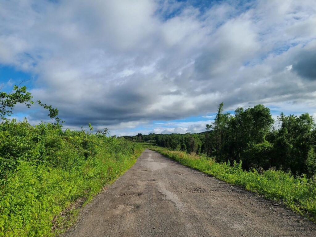
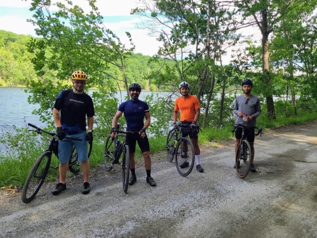
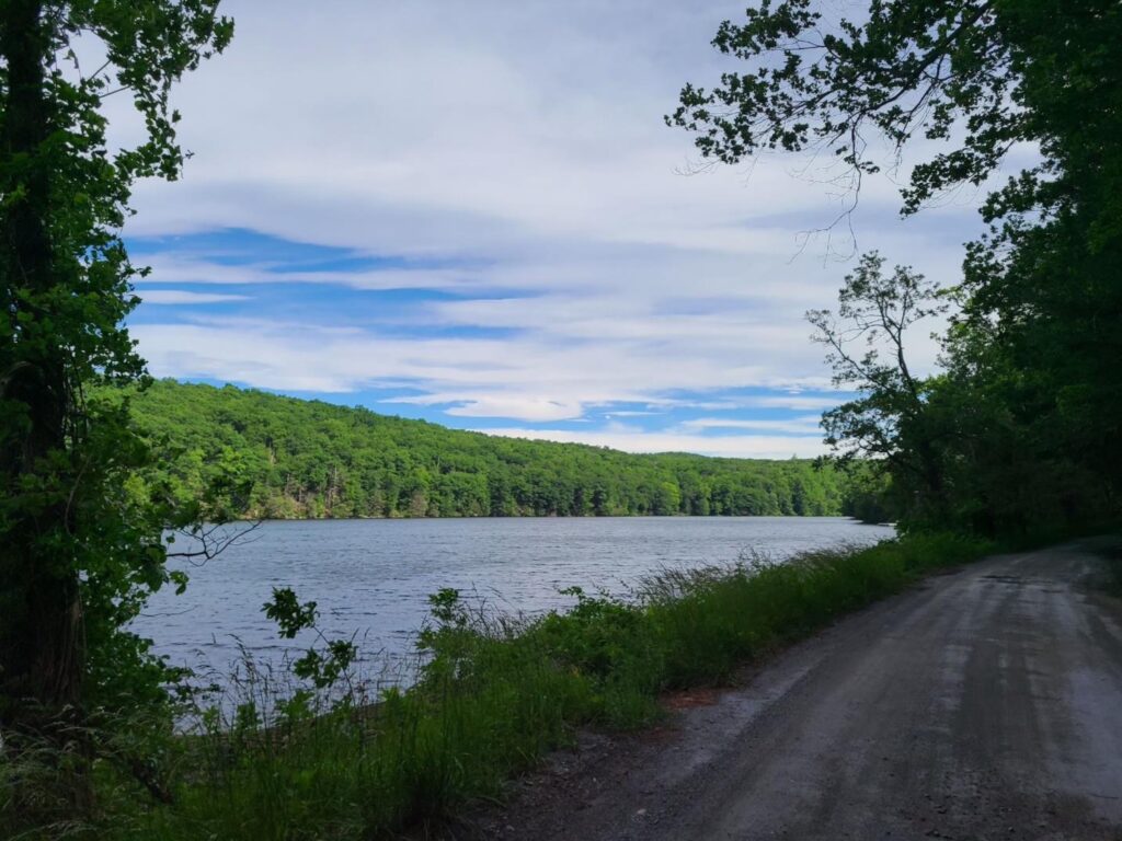
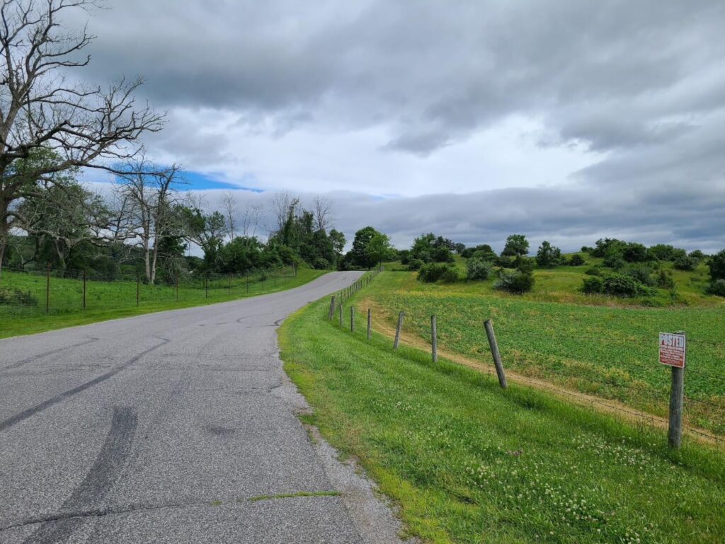
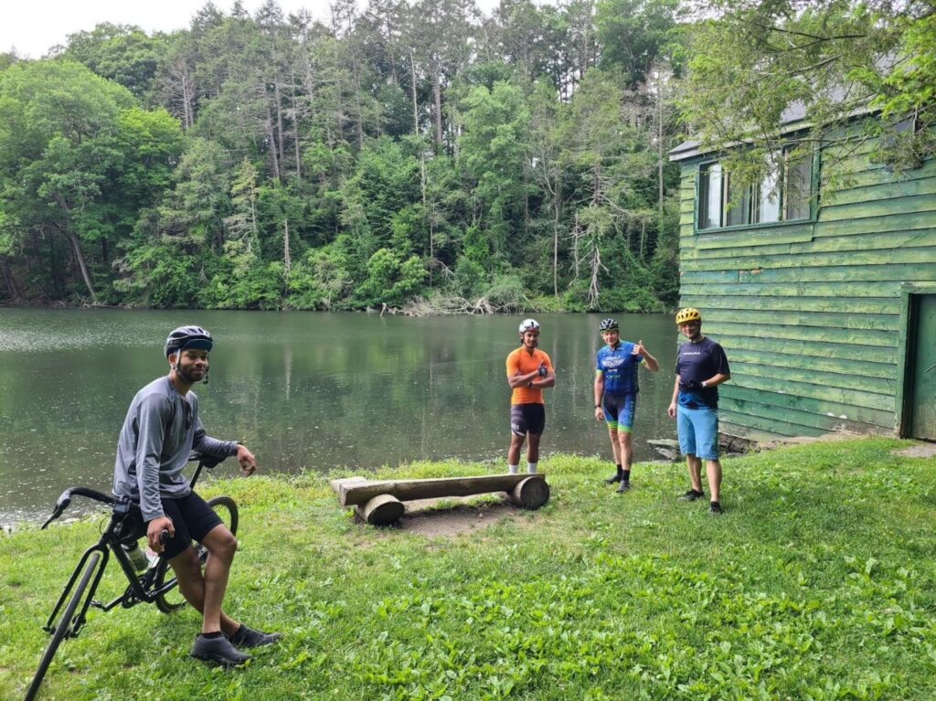
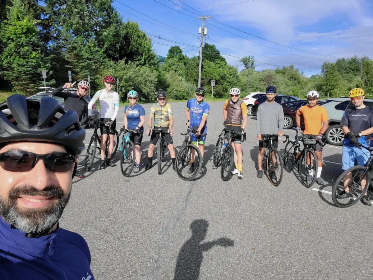
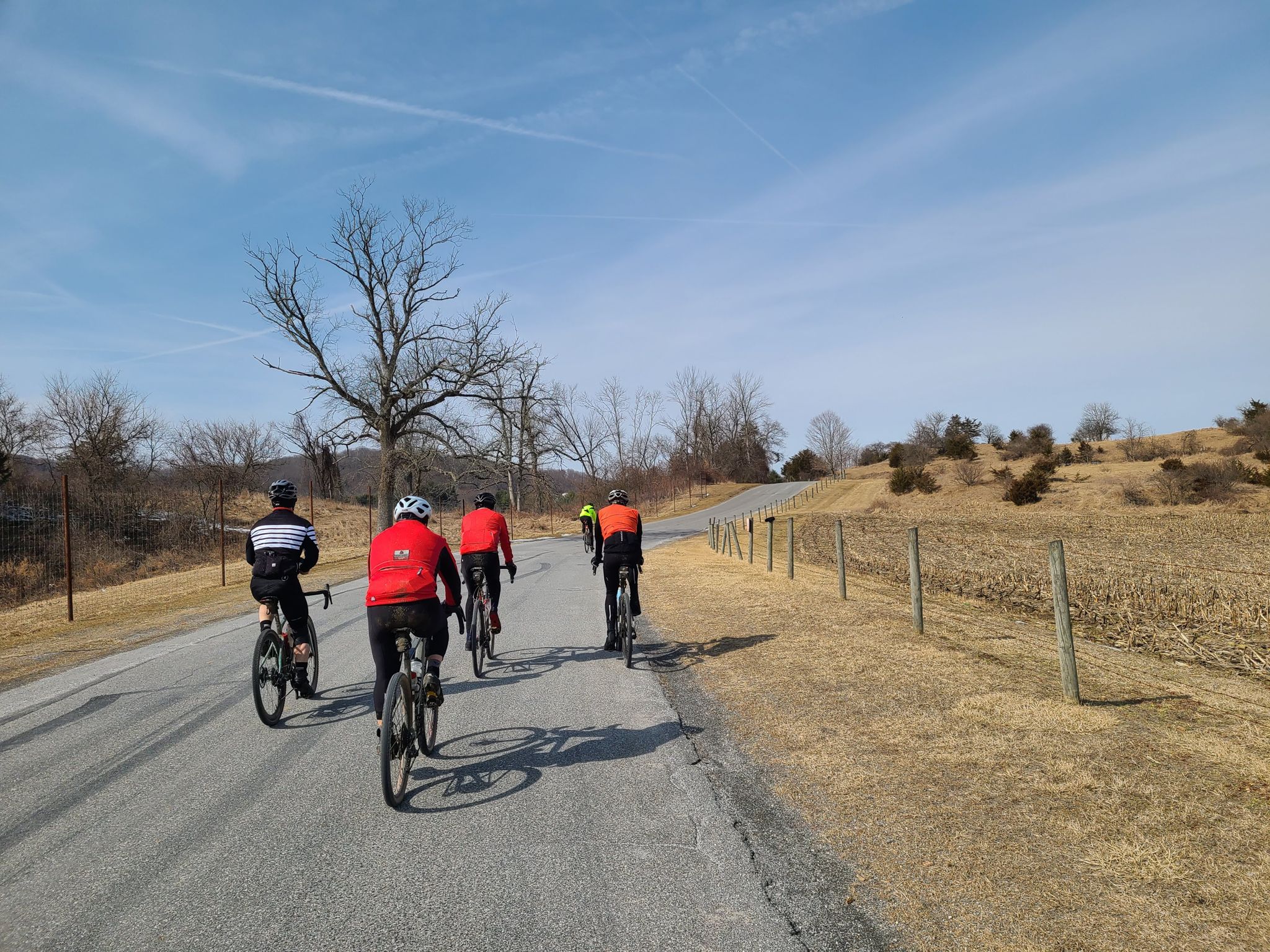
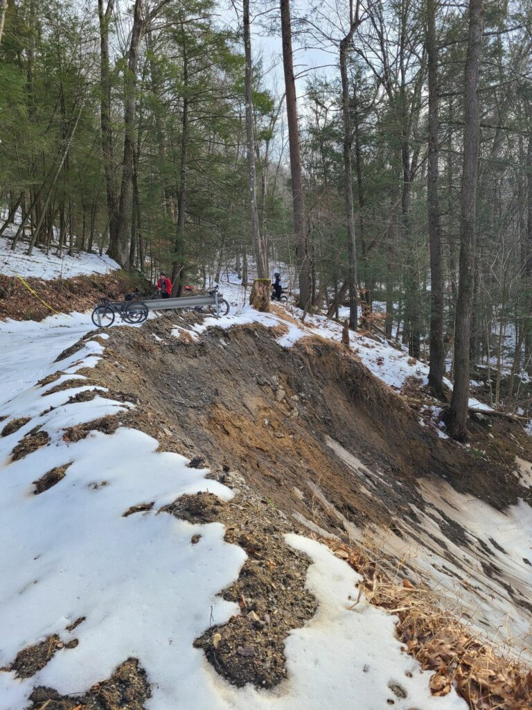
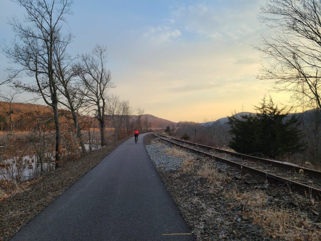
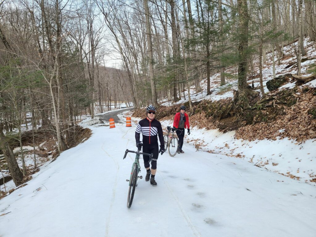
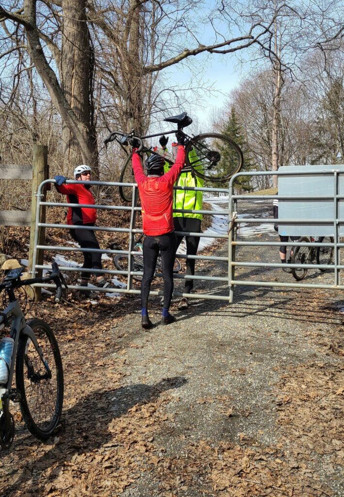
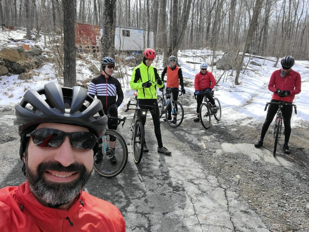
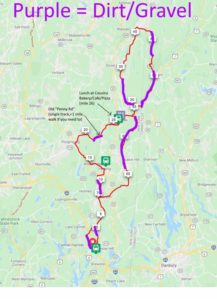
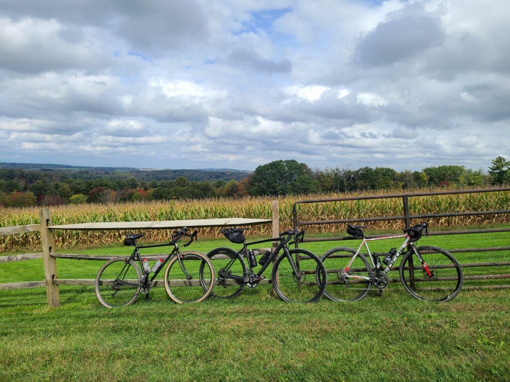
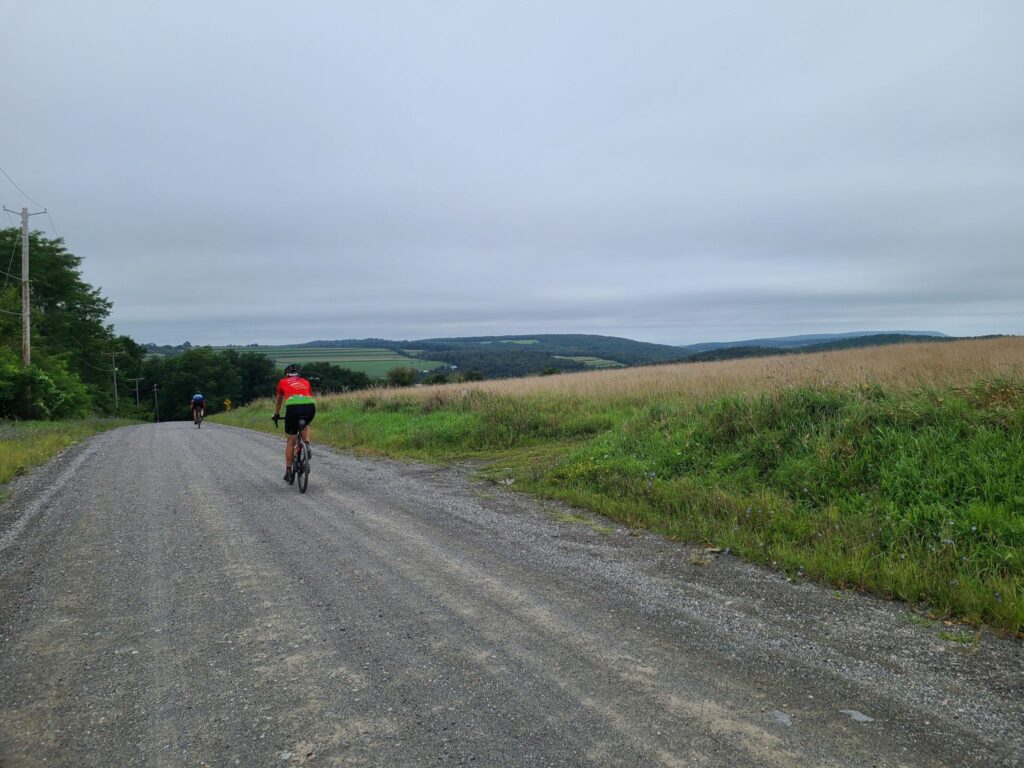
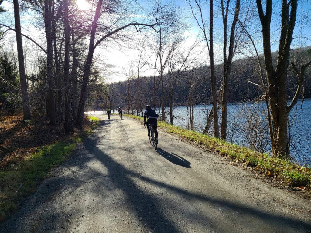
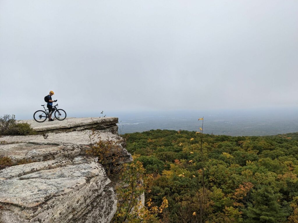
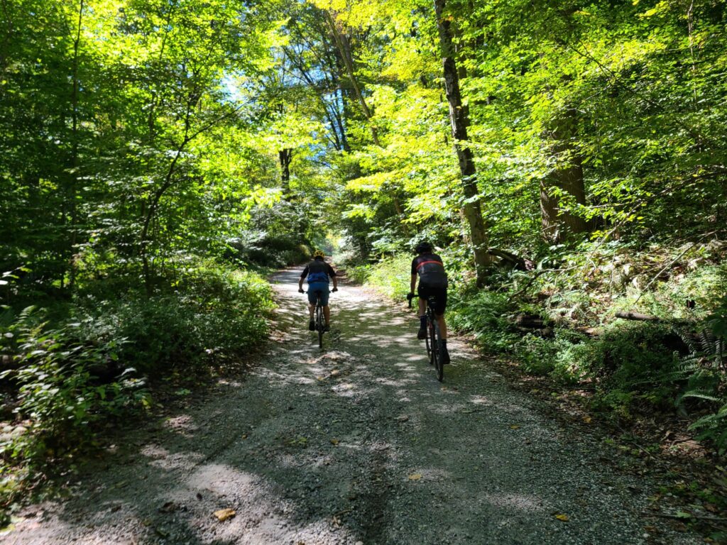
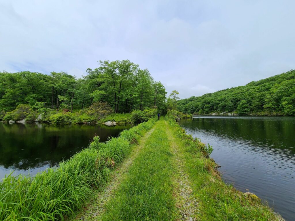
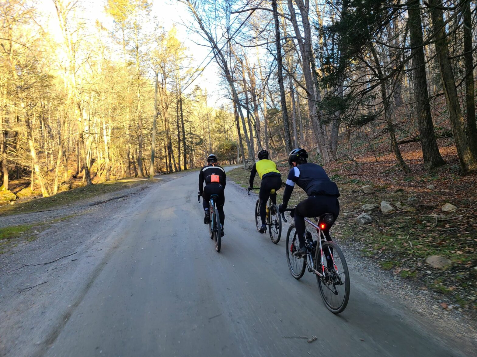
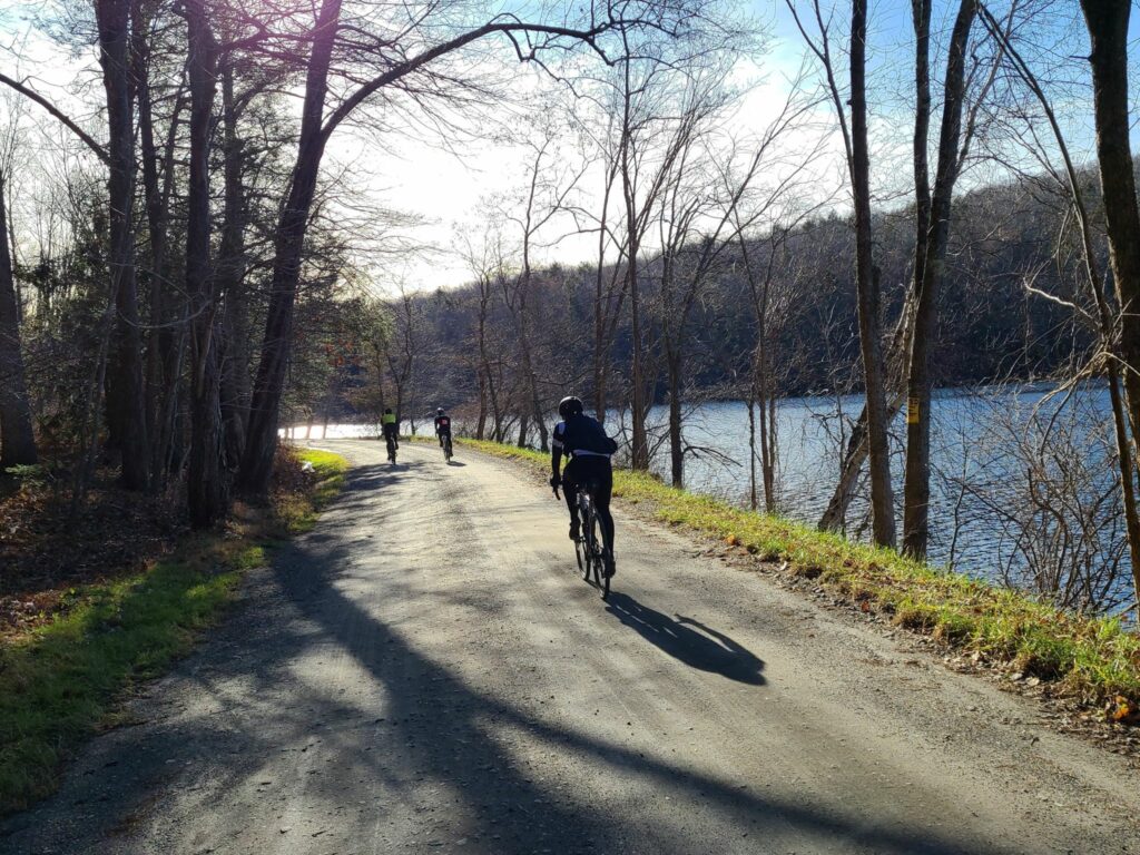
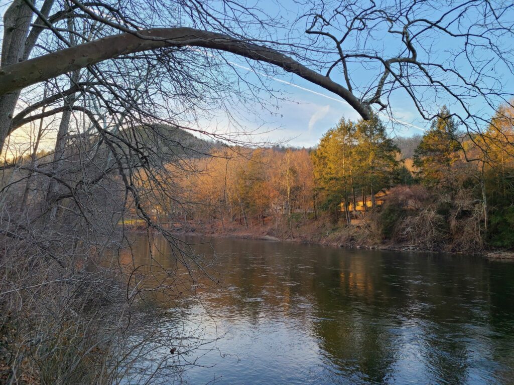
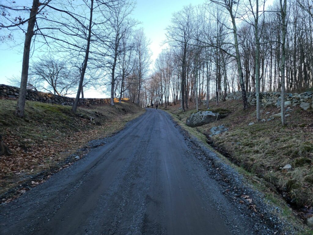
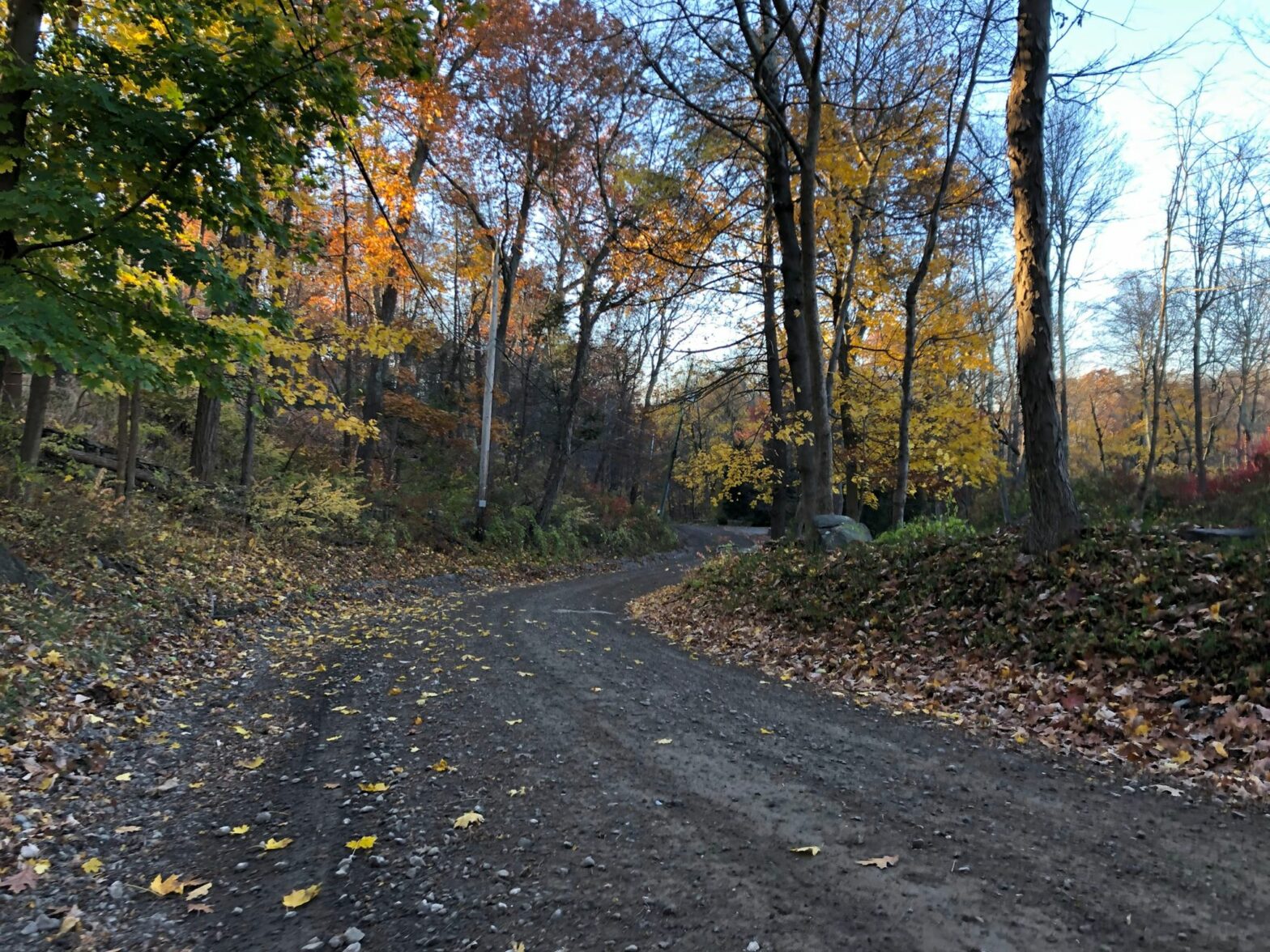
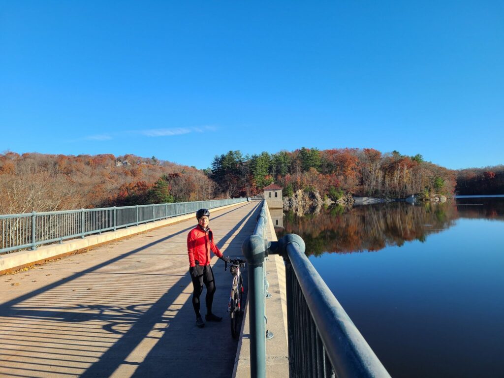
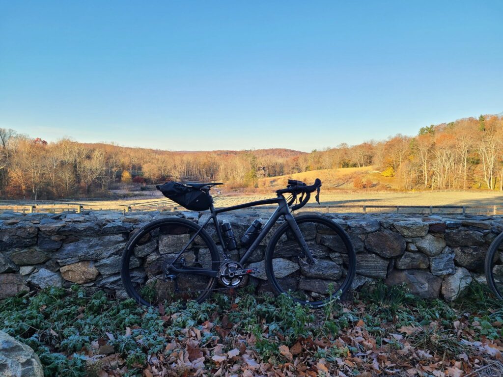
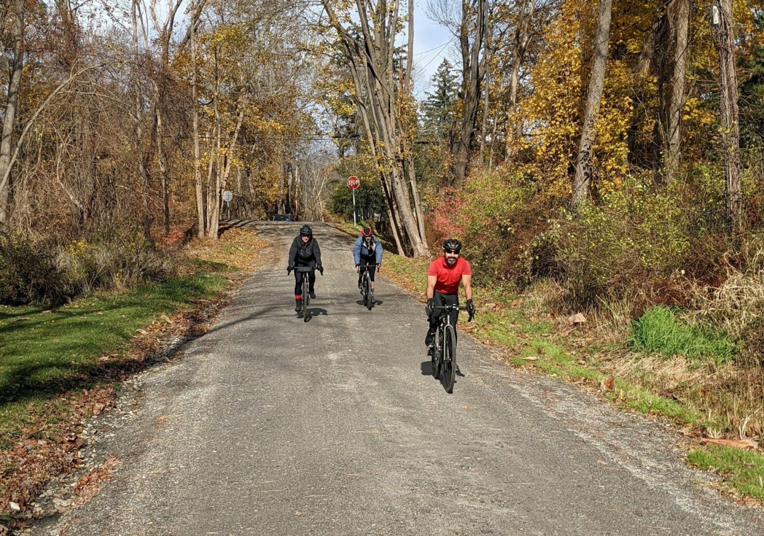
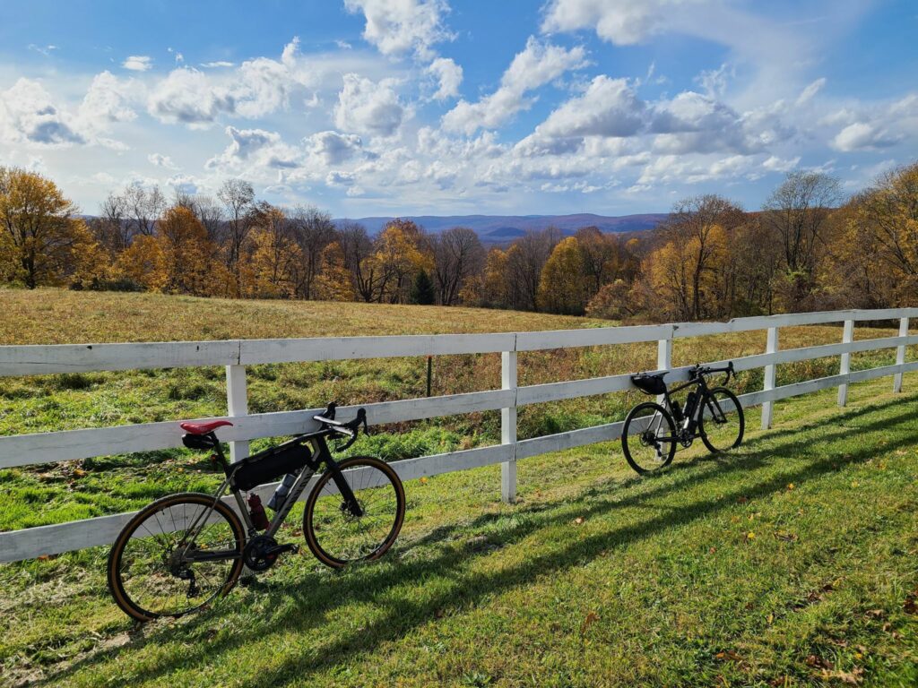
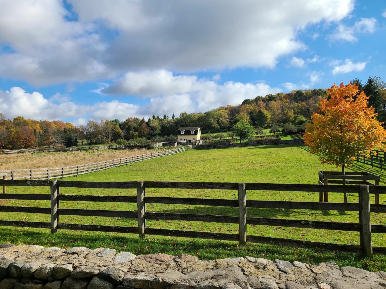
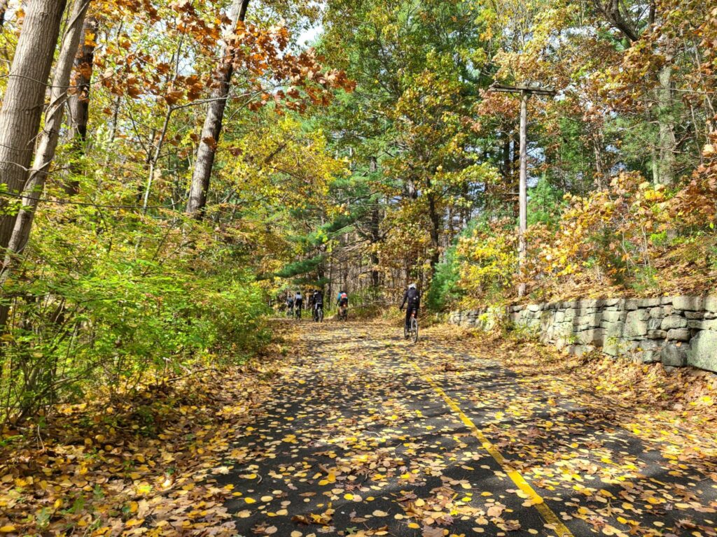
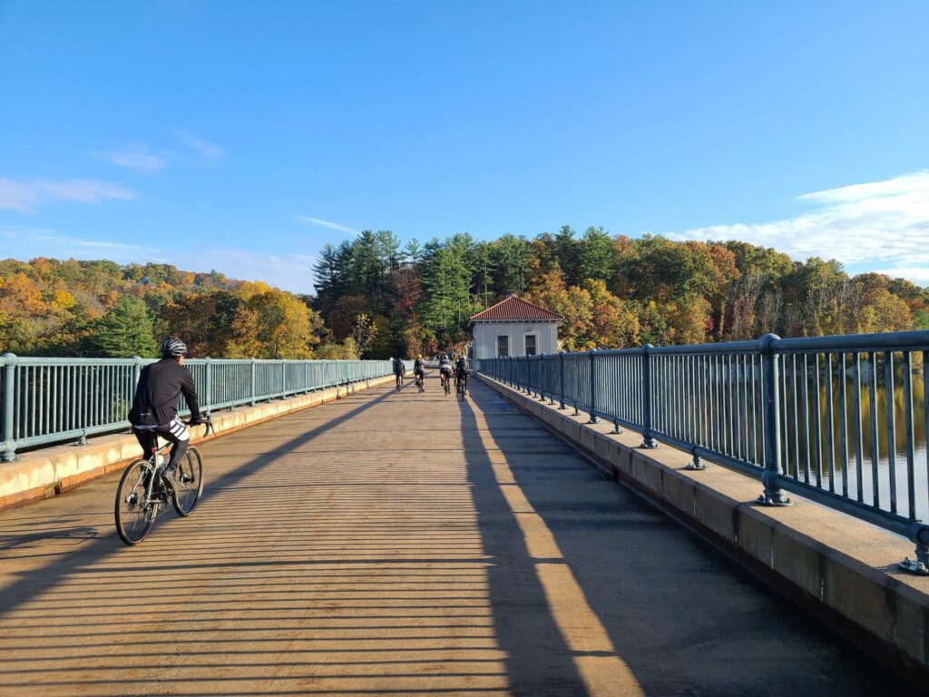
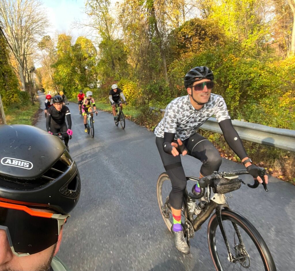
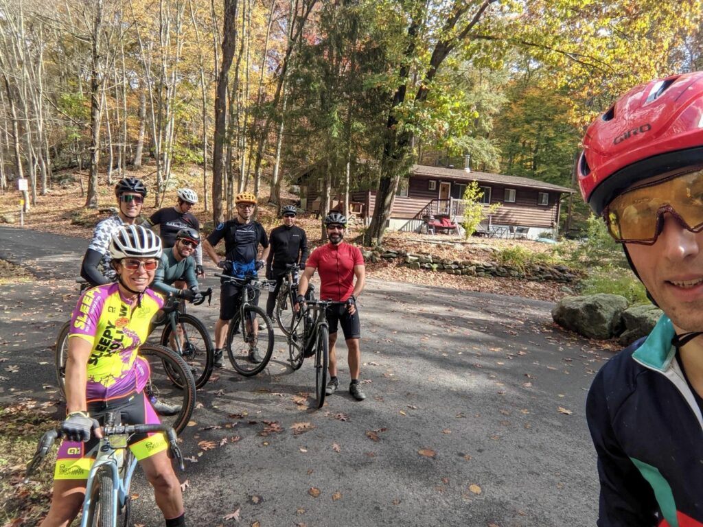
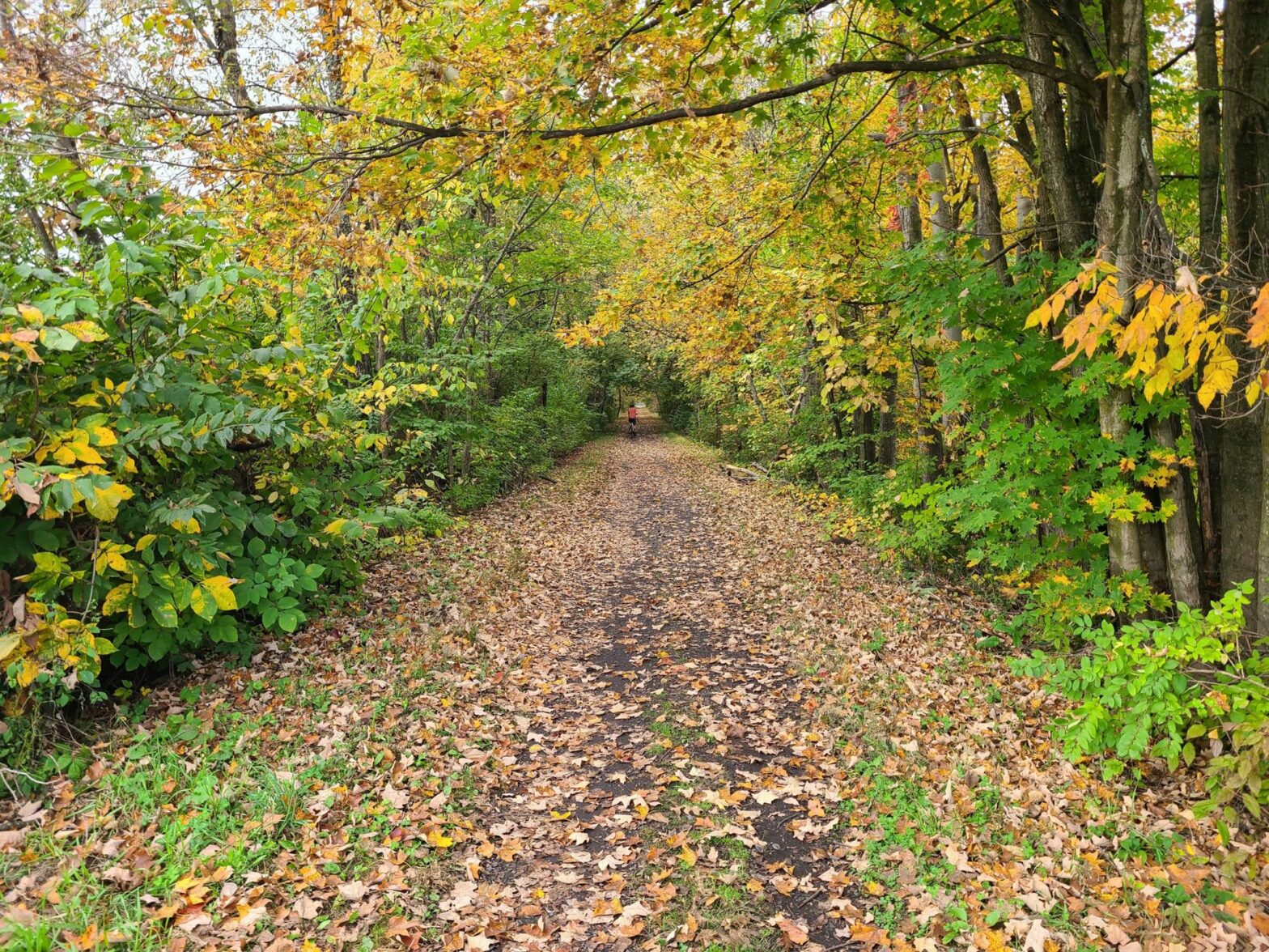
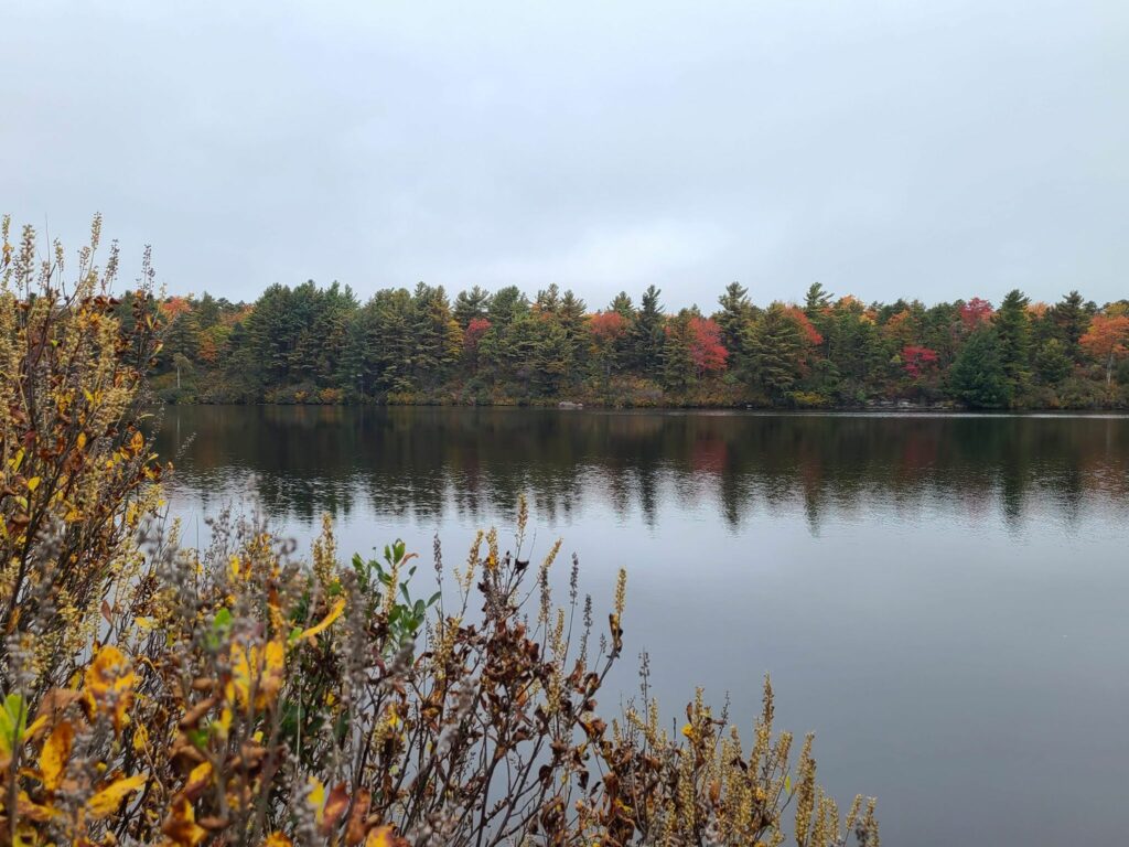
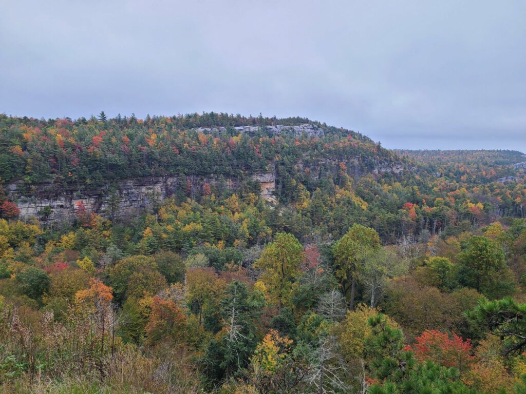
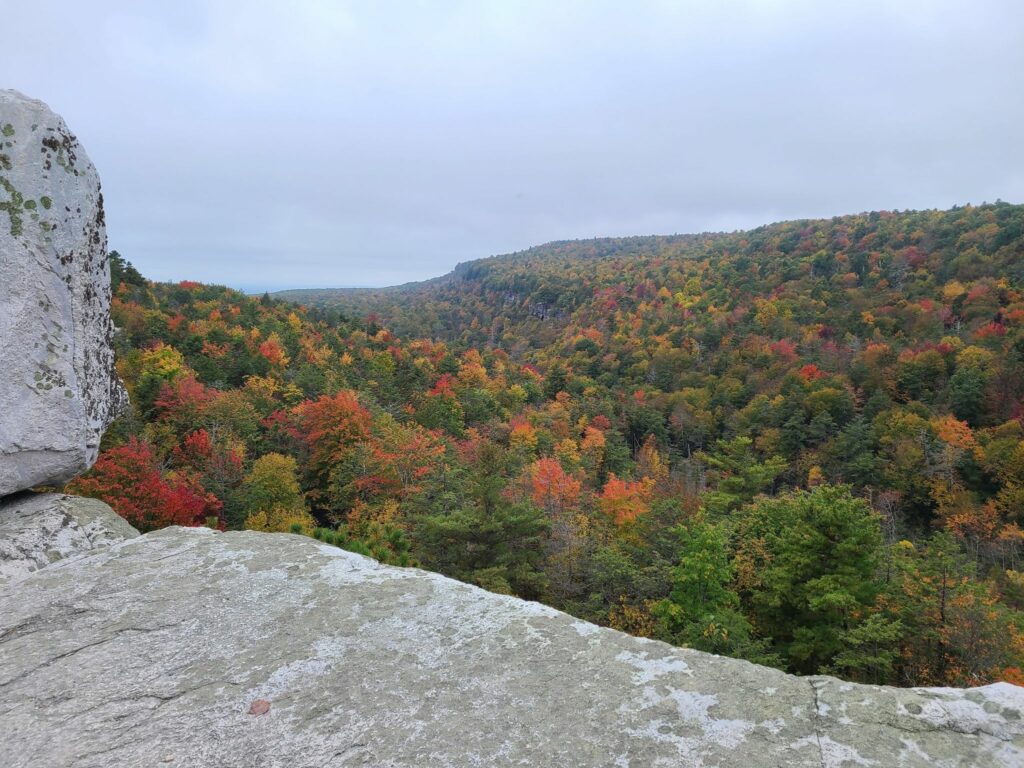
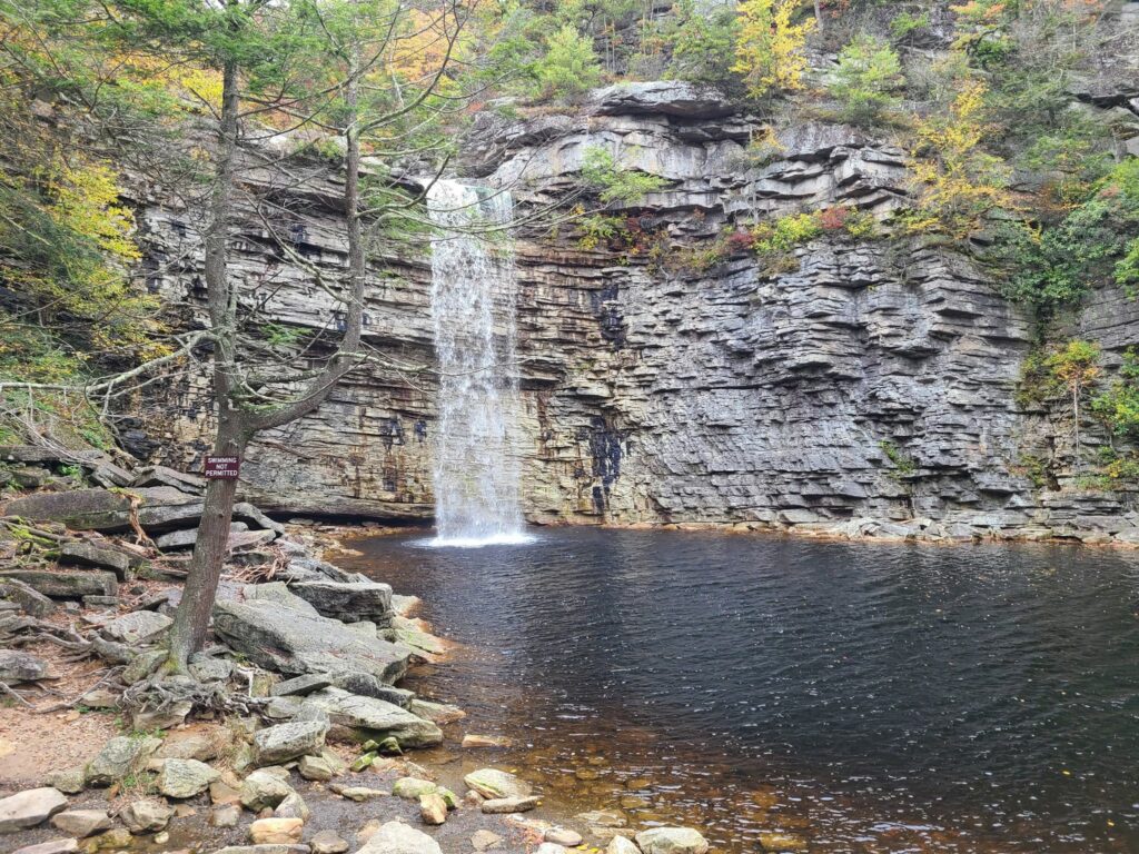
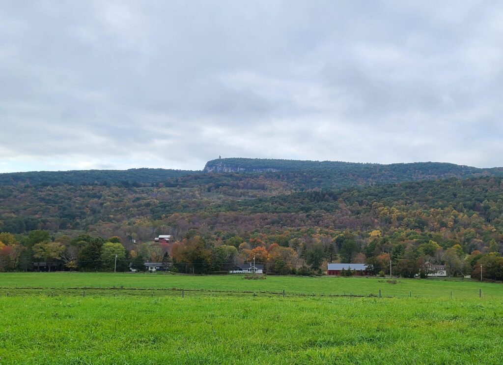
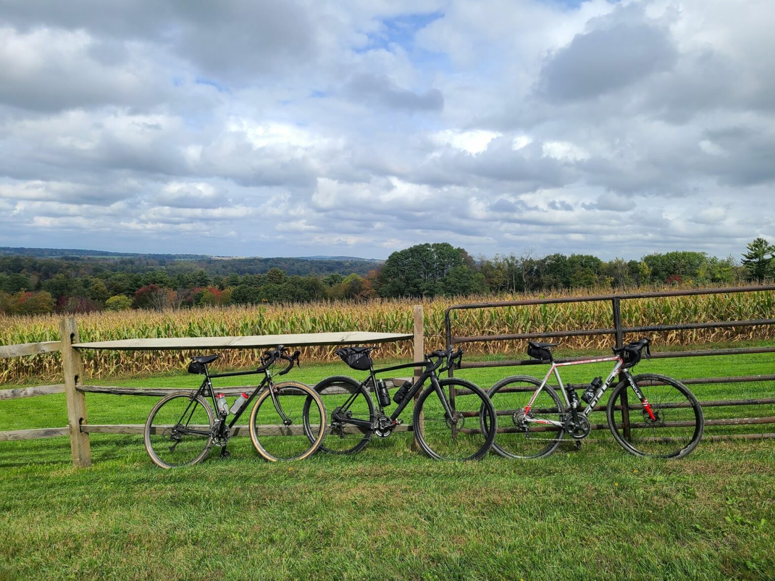
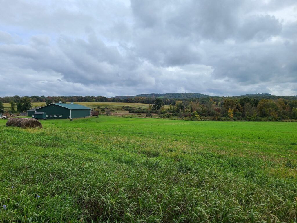
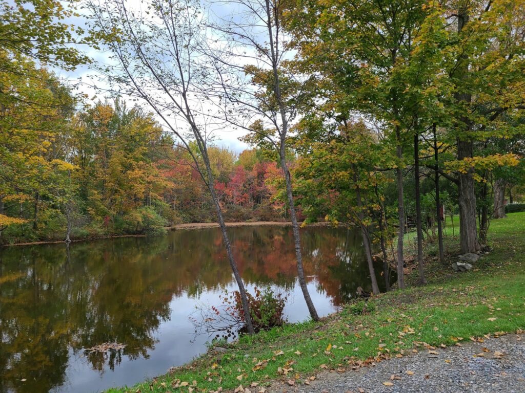
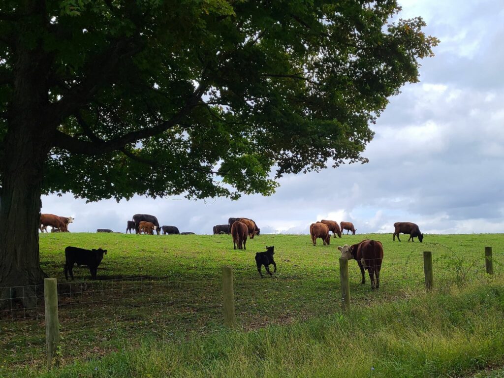
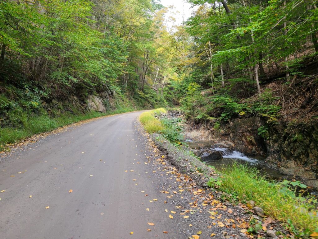
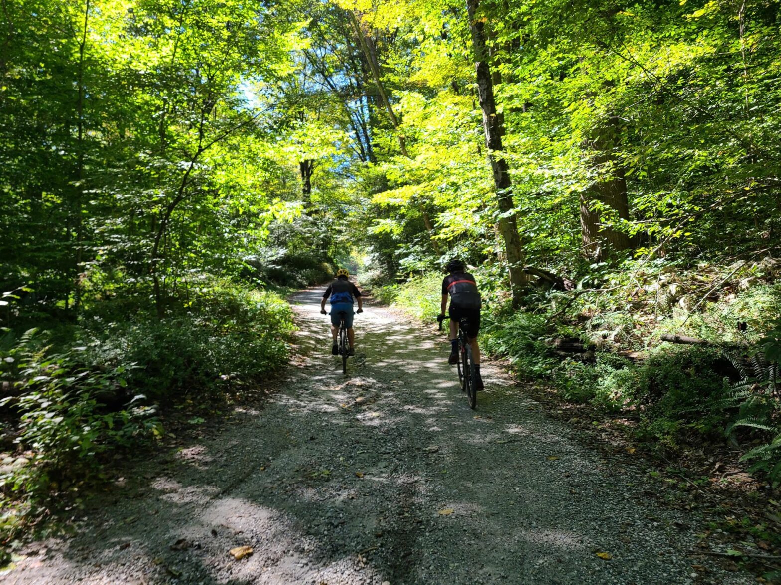
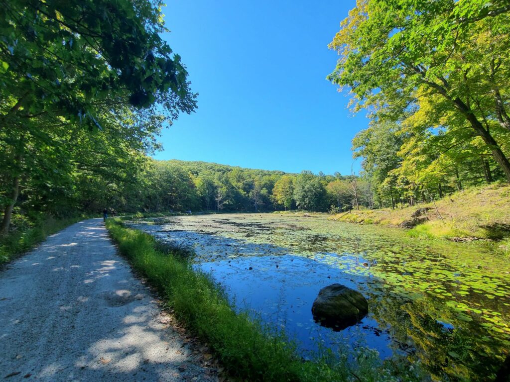
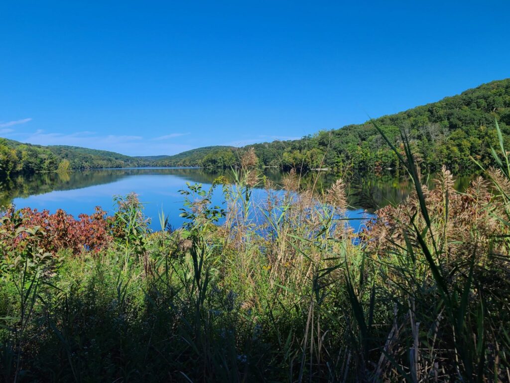
On June 18, 2022, GrNY riders started near Brewster, NY and headed northward across Putnam and then into Dutchess County, NY. It was absolutely perfect weather for riding! The high temperature was around 68 degrees with just enough cloud cover to make for dramatic photos, but there was no rain. A medium-speed group, led by Kathy, tackled 50 miles with 4800 ft of climbing. A faster group, led by Steve, rode 66 miles with 6000 ft of climbing.
Kathy’s ride: https://www.strava.com/activities/7330598829
Steve’s ride: https://www.strava.com/activities/7330581760
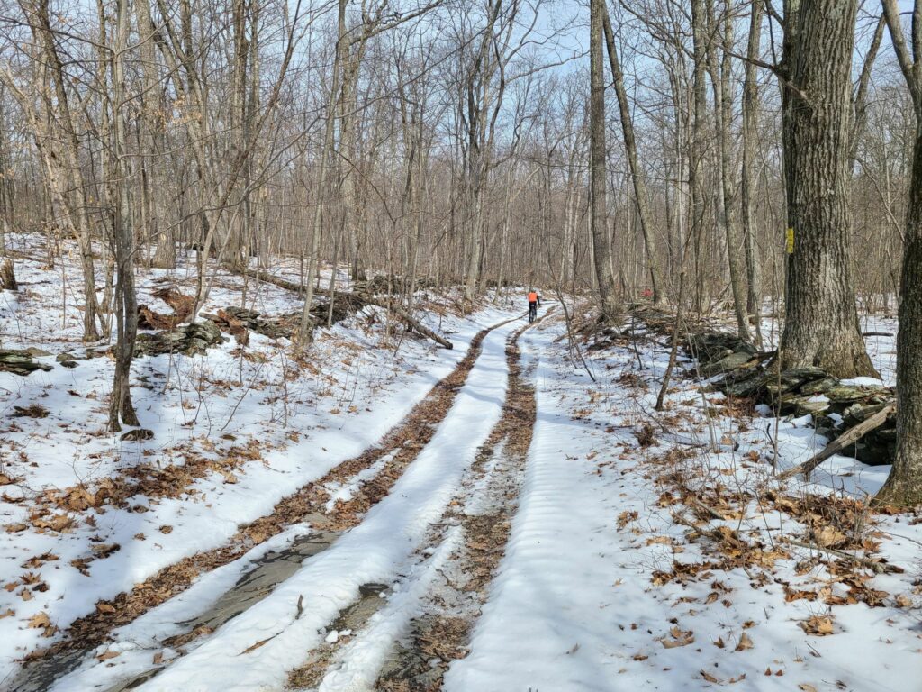
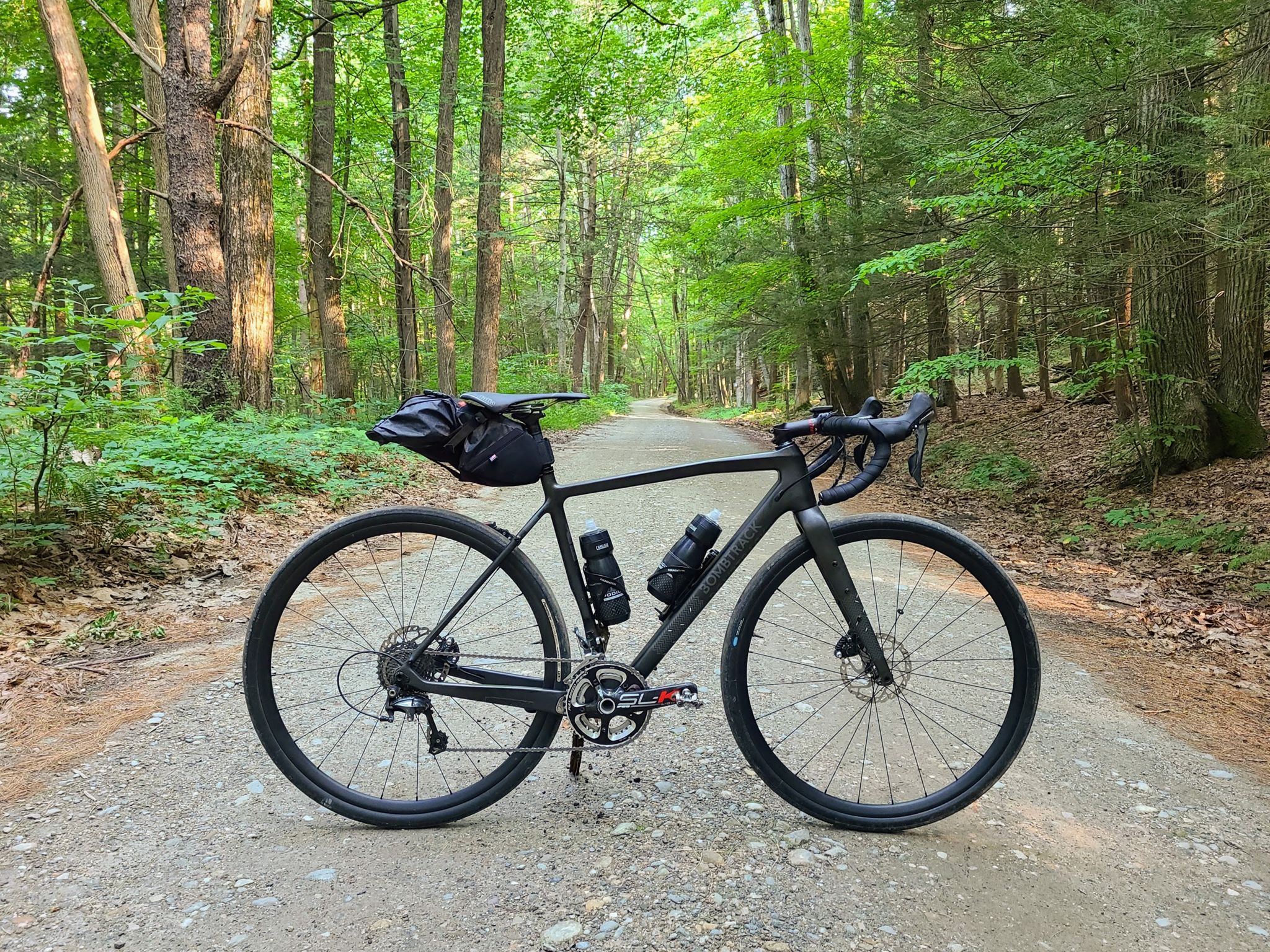
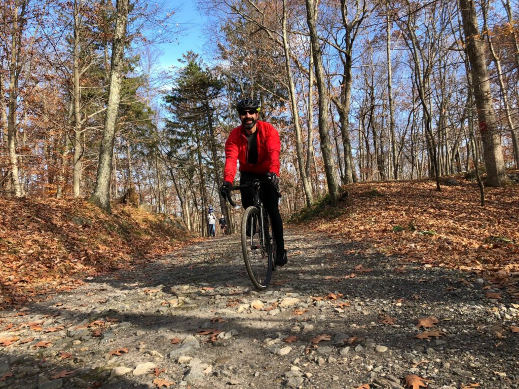
Overall, this was a beautiful mixed-surface ride with stretches of dirt road, rural paved roads, and some very short sections of rougher forest trail. There were great views throughout the ride. Both routes are highly recommended. Tires of 35mm width are plenty for most of the ride, but some folks probably appreciated wider tires for the short trail sections. Be forewarned that both routes had considerable climbing. For the medium group, the hardest climbs came in the first half (ideal). For the faster group, the climbs were more well-distributed, with one of the tougher climbs appearing 51 miles into the ride. That said, both groups had to climb back up Bullet Hole Rd near the end of the ride, which probably seemed like a bigger climb than it really was, given everyone’s tired legs.
The goal for both groups was to end at the same time, despite the different distances traveled. This almost worked, but not exactly! The *moving time* of both group leaders was within about 15 minutes of each other, which was well-planned. However, we “laggards” in the faster group took our lunch break during the ride, while the medium speed group only stopped briefly and ate more substantially at the end of the ride. Now I know why Kathy’s group got back so much quicker! The medium-speed group was happily enjoying cold drinks when we joined them at the post-ride meeting spot. We had some well-earned cold beers ourselves when we got there.
Things went well on both rides, with one minor exception. For the faster/longer distance group, I originally planned for us to filter water around mile 19 (to top off our water bottles), but with 25 riders signed-up by mid-week, that seemed like it might be too inefficient. Instead, I added some extra distance for a stop at the General Store near Bulls Bridge in South Kent, CT. Unfortunately, it was closed! We searched around and eventually made use of a convenient water tap at a nearby inn (they were nice about it). Note for future riders of the longer route: Bring plenty of food and water!
ROUTES:
Medium Speed (50 miles, >4500′):
https://ridewithgps.com/routes/32953734
Food and water stop at mile 26 (Cousin’s Deli, Pizza, and Bakery)
A second food/water stop possible at mile 42 (Squaro’s Town Square Pizza).
Faster Speed (65 miles, >5000′):
https://ridewithgps.com/routes/39539451
Bring plenty of water and food! The first reliable stop is around mile 47 (gas stations with Cumberland Farms / Dunkin) or mile 50 (good pizza by the slice + deli). Alternatively, future riders could detour to Wingdale around mile 24, which adds a few extra miles, but has more reliable
NOTE FOR THE FUTURE: Almost immediately across the street from the Park & Ride (i.e. starting location) is Pugsley Rd, which is currently rural and dirt. HOWEVER, all of the trees have been cleared for the first 1/2 mile and the entire area is slated for a huge warehouse and distribution center. It sounds like Pugsley Rd will soon be a busy, paved trucking road and the current intersection will be widened to 4 lanes with turn signals. There will also be a huge sports complex on some of the land they are clearing. Hundreds of trucks per day will flow through that area (distribution center) plus hundreds of cars on weekends (sports complex). I’ll miss this peaceful rural road that somehow began right from the heart of concrete and sprawl. Enjoy it while it lasts!
