Fahnestock Park and Garrison Gravel Ride

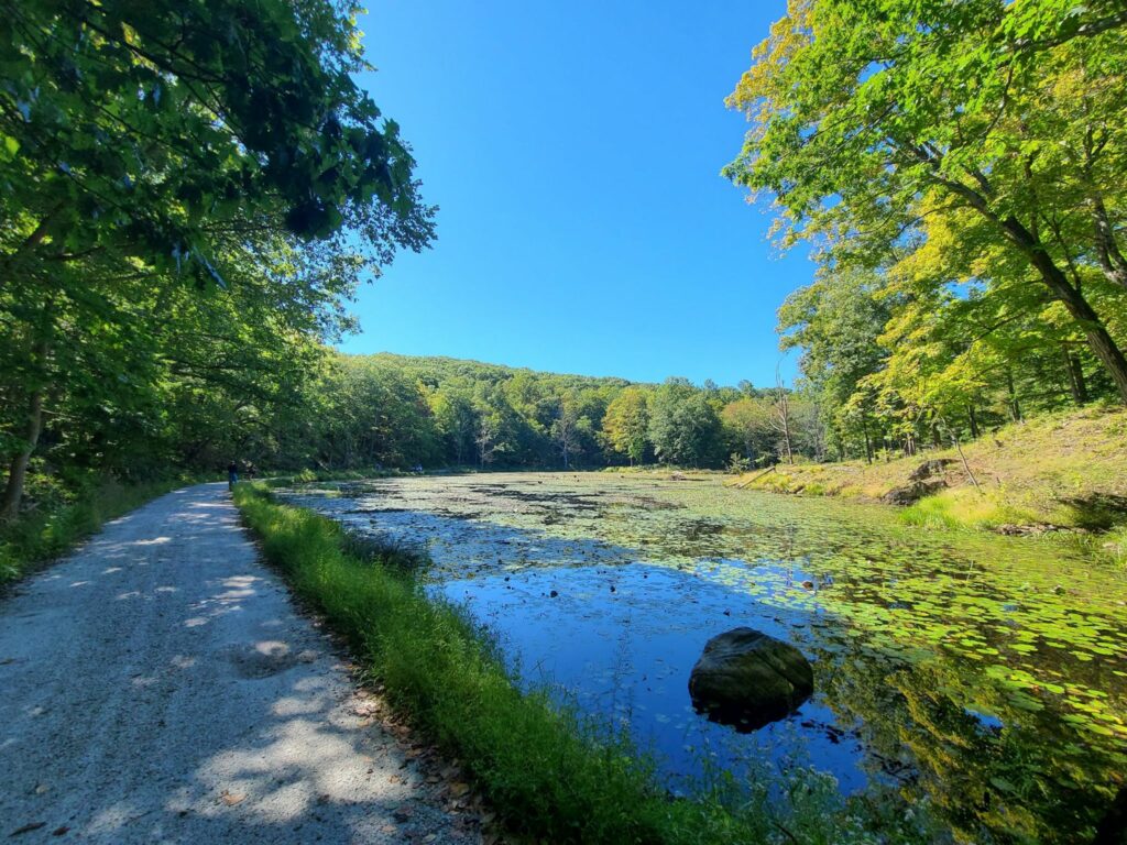
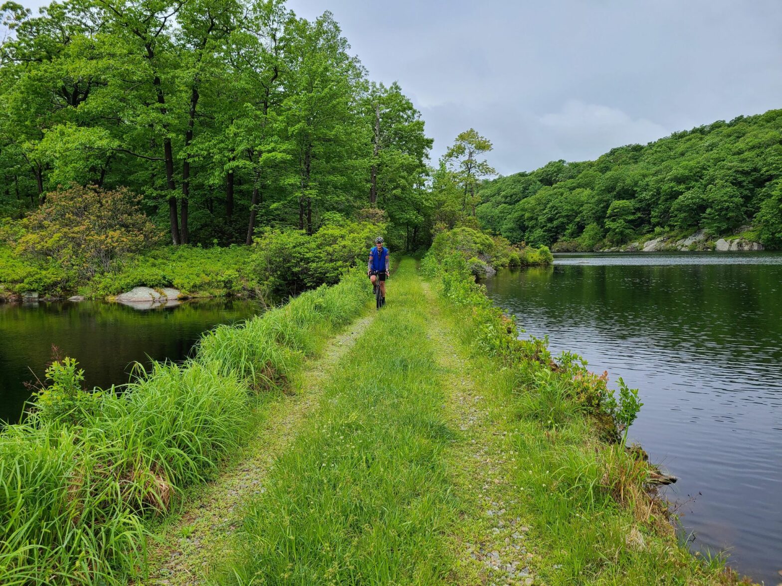
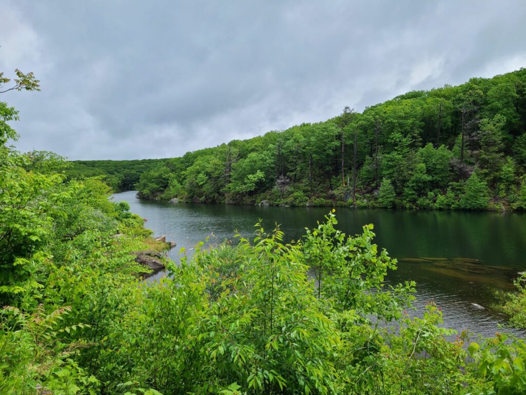
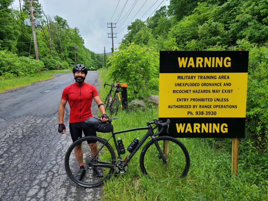
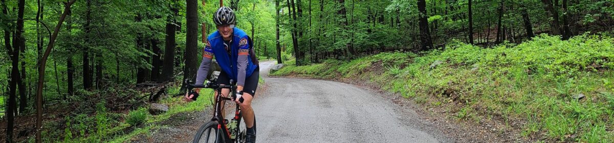
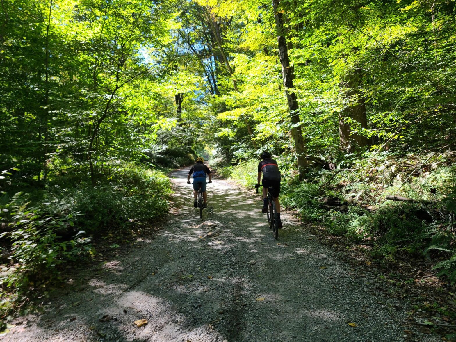
On Saturday, Sept 25 a small group of riders left Cold Spring, NY to traverse the dirt and gravel roads around Fahnestock State Park and Garrison. Our route included virtually all of the true gravel roads in the region, which also meant tackling many of the longest and steepest climbs. Our route did not include the rough trails in the center of Fahnestock, which are more suitable to a mountain bike.

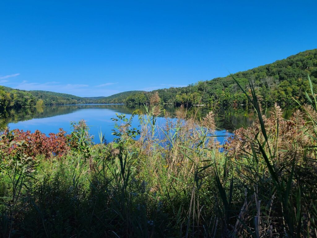
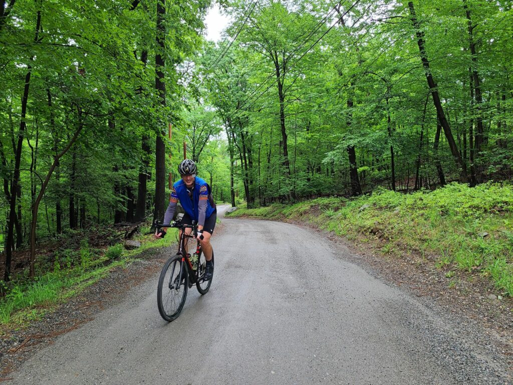
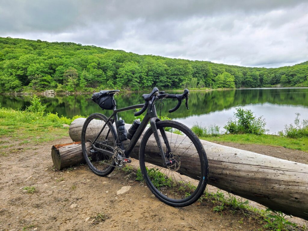
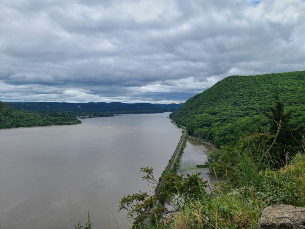
Overall, it was a beautiful ride. The weather was perfect, we spent much of the day traveling through forests, past ponds and streams, and through occasional farm country. We had lunch and replenished snacks and fluids at Boyd’s Corner Store/Deli at mile 30. After surviving all the climbs, we had a cold beer at Barber and Brew in Cold Spring. They had a few outside stools and no haircut is required to enjoy a good microbrew.

Notes about road conditions:
1) Expect some very steep grades (>20%) on some of the climbs and descents.
2) There were some very rough sections on those steep downhills (e.g. bad washboard), so keep your speed in check. One rider went down, but is okay.
3) Sunken Mine and Indian Brook roads: the gullies across the road were deeper and more numerous than I remember them in the past. Keep your eyes on the road ahead.
4) If you are looking for a still-challenging, but less intense version of this route, see here: ridewithgps.com/routes/37003811 . The alternative route has less gravel/dirt (sorry!), but adds a potential stop in pleasant Carmel Hamlet and skips some of the more ridiculous hills.

ROUTE (~64 miles with ~7000’ of climbing) :
https://ridewithgps.com/routes/37593227

ALTERNATIVE ROUTE (a bit easier, but still plenty of climbing):
https://ridewithgps.com/routes/37003811

-Steve

Black Rock Forest: Redemption!

This was a really spectacular Memorial Day ride. It was much needed after a Saturday and Sunday of non-stop rain and cold wind. High temperature was a cool 68F, which is perfect weather for climbing. And we did plenty of climbing! Anywhere from 6400′ (Strava) to 7000′ (bike computer with altimeter) of elevation gain over ~64 miles.

While steep, the gravel roads on the east side of the Hudson were peaceful and often surrounded by forests and streams. But the star of the show was the Black Rock Forest. The trails were perfect for a gravel bike and the journey was rewarded by views of lakes, ponds, and reservoirs at every turn. It was as spectacular as a I remembered it. We continued onto the Storm King Highway and enjoyed stunning views over the Hudson River. We then returned over the Bear Mountain Bridge to finish the rest of the gravel roads on the other side of the river.

I’ve included some photos from the ride and the route links from Ride with GPS. The first route is 64 miles/6400′. The second “bailout” route takes a direct path back to Garrison, which cuts the ride down to 50 miles/4500′. I’ve also included a “mini” route that focuses on Black Rock Forest and the Storm King Highway (28 miles, 2500′), but requires driving to the start location.

NOTE: We were unable to go through West Point, so were forced onto some truly heinous roads for bicycling (the short bit on 9W). USE EXTREME CAUTION IF YOU DO THIS ROUTE! You will also need to traverse some *very busy* roads to cross the Hudson River (in both directions), but you will be rewarded with beautiful views from the Bear Mountain Bridge each time.

Main Route (64 miles, 6400′ elevation, skips West Point)):
https://ridewithgps.com/routes/36161301

“Bailout” Route (51 miles, 4500′ elevation):
https://ridewithgps.com/routes/36161823

Mini version (28 miles, 2500′) that focuses on Black Rock Forest and Storm King (driving required, limited parking at trailhead):
https://ridewithgps.com/routes/36256378