All the Dirt Roads in Westchester County in One Ride*

*All of the reasonably connectable dirt roads.

I’ve had a few requests for this route, so it seemed worth making a quick post to the GrNY group, so it can be found in the future.

ROUTE:
https://ridewithgps.com/routes/37819854

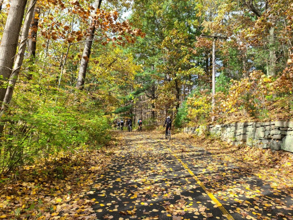
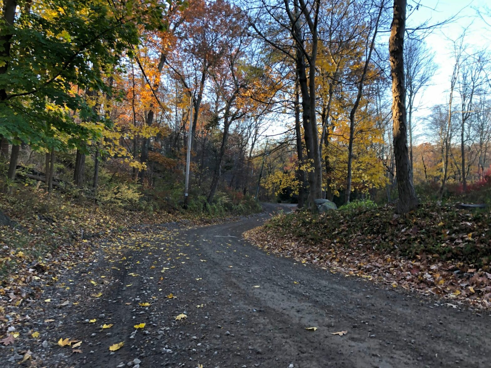
This route attempts to include all of the reasonably-connectable gravel and dirt roads in Westchester County in a single ride. The ride is 99.6 miles and somewhere between 9,500 and 10,500 feet of climbing depending on whose GPS you believe. Most of these dirt roads are nicely maintained hardpack, with the exception of Mountain Lakes Park which is a bit rougher. Dirt road conditions can change rapidly, so use common precautions.

Is it really *all* of the dirt roads? Not quite, hence the asterisk. Short dead end streets, highly isolated road sections, and some small pieces of longer roads were skipped. This avoids adding many paved miles just to add small segments of dirt. This route does not include multi-use trails, like the OCA (Old Croton Aquaduct trail). It focuses on dirt/gravel roads.

As for the ride itself, I’ll cut-and-paste from my feed on November 20:

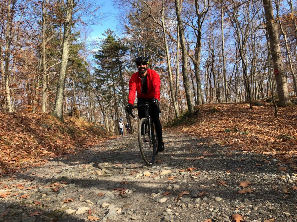
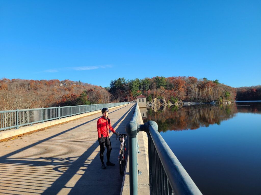
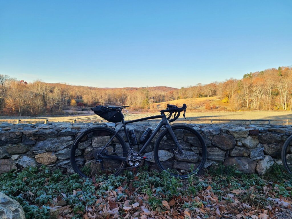
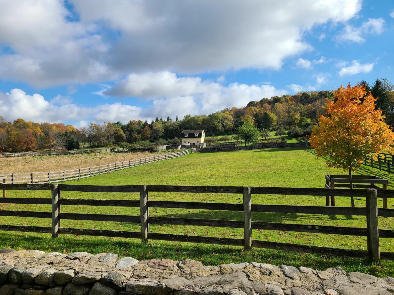
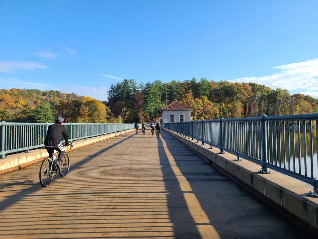
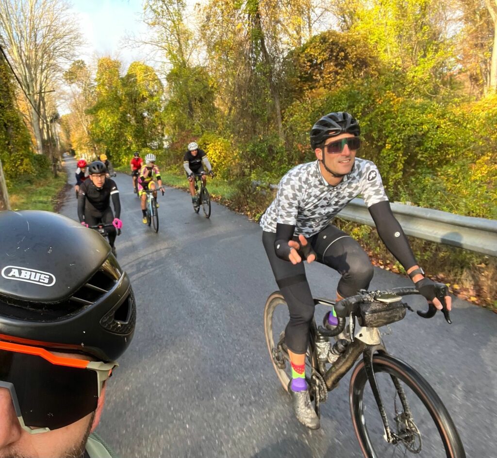
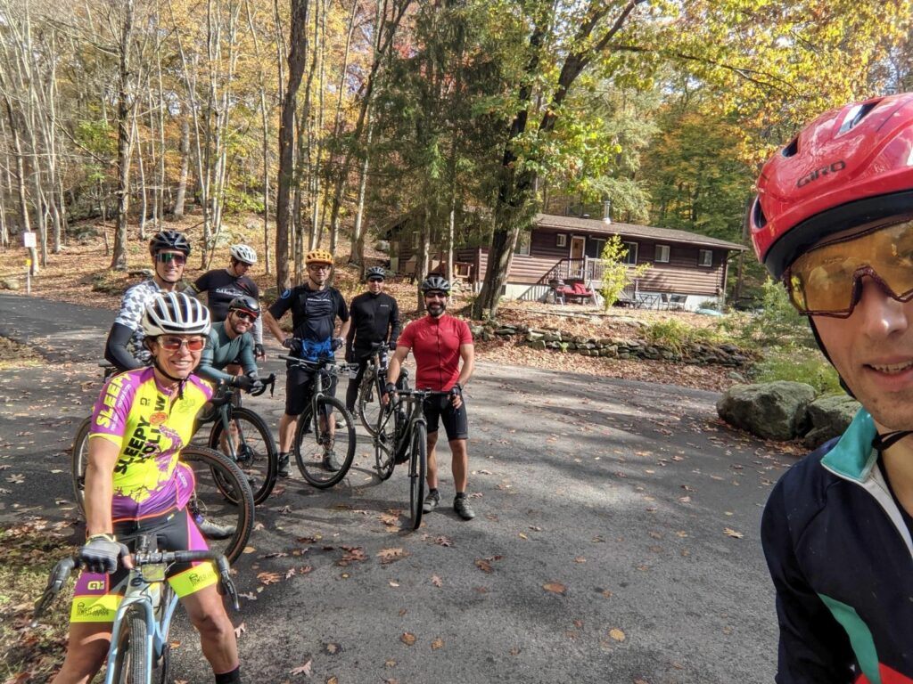
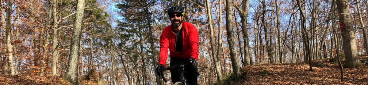
Epic day on the bike. Ellis and I completed a Westchester gravel century with the goal of hitting all the dirt roads in the county. We started early, so we would have plenty of daylight and had a blast. So many beautiful forests, farms, and horse country estates.

Forewarning for city folks: mornings are a lot colder here. Bundle up! It was 28F when we started, but turned into a lovely day.”

Mountain Lakes Park
Cross River Dam
Cross River Dam

Halloween Gravel Ride in Katonah, NY

A dozen riders showed up on Halloween morning, including a few people who were riding with us for the first time. Welcome! It was fun meeting all of you!

We covered some of Westchester’s best dirt and quiet paved roads. Given the major rain storm the night before, we opted for hard-packed dirt roads and took the “main road” through Mountain Lakes Park, rather than the trails. It’s more of a rugged jeep trail for much of its distance, rather than a road, but it is the least-muddy and least-technical path through the park after rainy weather. Aside for temporarily losing a rider or two, who managed to zip past our appointed lunch location, everything went smoothly.

After the ride, a few of us grabbed beers and food at the deli next to the commuter parking lot. They have a little beer garden outside and had some solid brews available, given the small number of taps on offer.

-Steve
Strava: Cyclosaurus (Steve)
Email: track.smart@gmail.com

** Route details are below **

The complete route is ~63 miles and >5000 ft of elevation gain. It can be shortened to 55 miles or even 48 miles if anybody is running low on time or energy. It is not obvious in this direction of travel, but The Market at Union Hall is on the corner around Mile 28. I updated the route to make it clear that there is a potential food stop at that location. For drivers, there is a large commuter parking lot, just a couple of blocks from the train station.

ROUTE: https://ridewithgps.com/routes/37901198

[For those who don’t know, Strava events disappear from the group page when they are done. I sometimes post routes or other information after a ride, so folks who can’t join us can ride the routes later.]