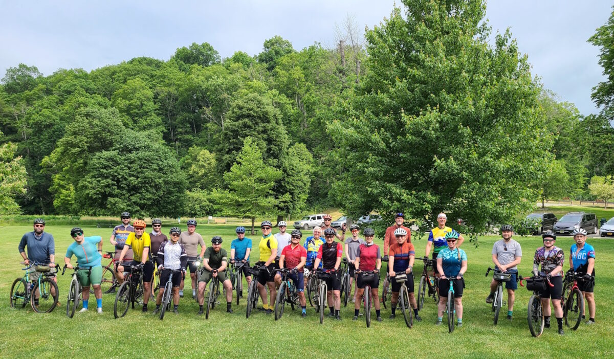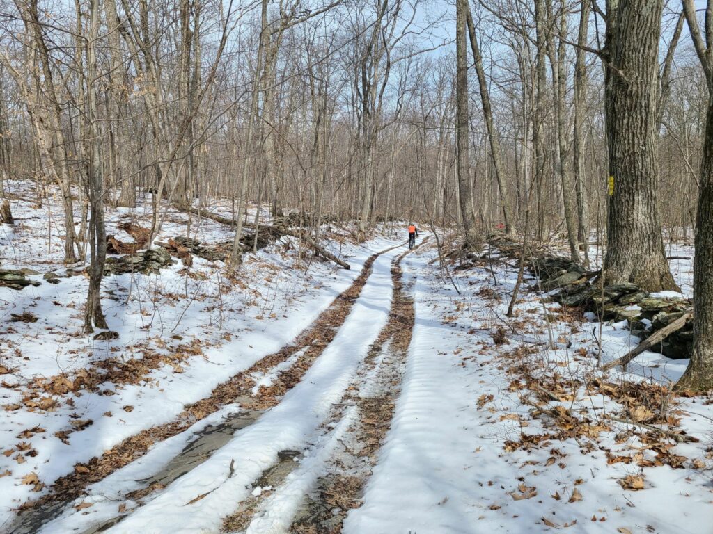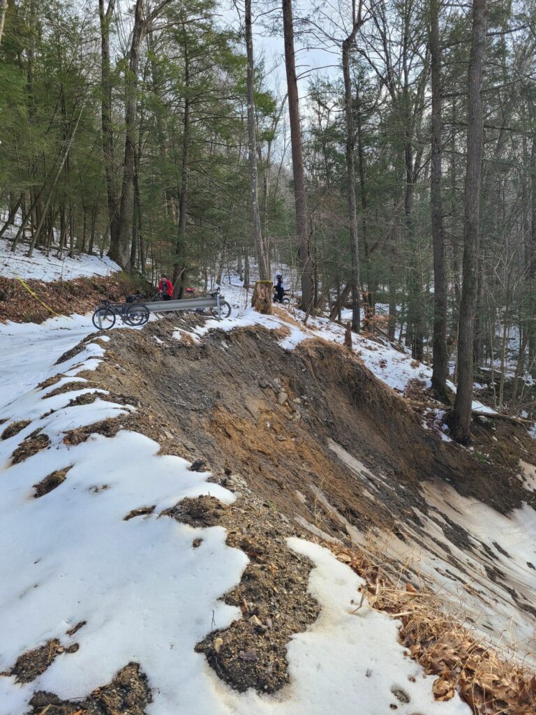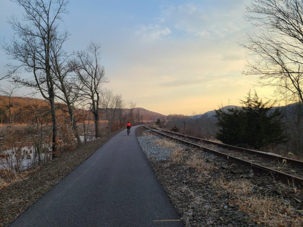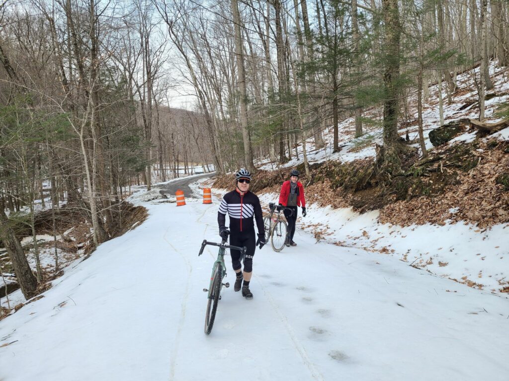
UPDATE: Our Spring Gravel Series is over, but we’ll continue to post rides throughout the year! Look for invitations from our group on Strava.
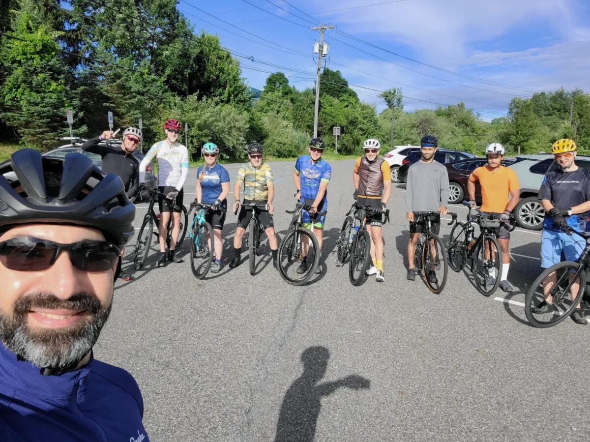
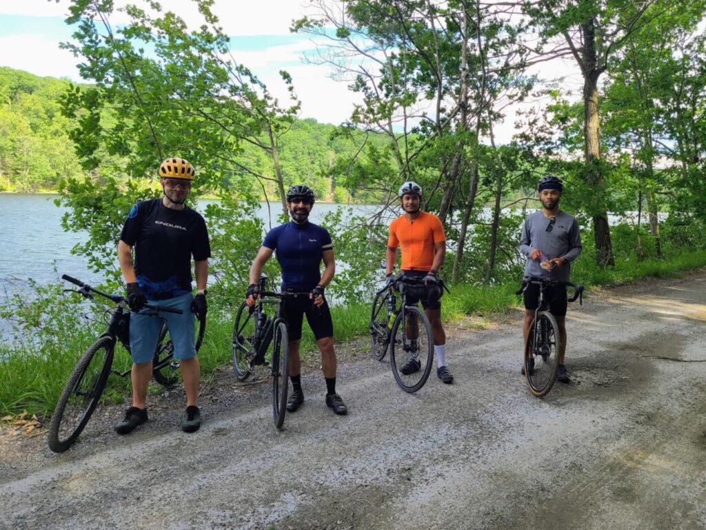
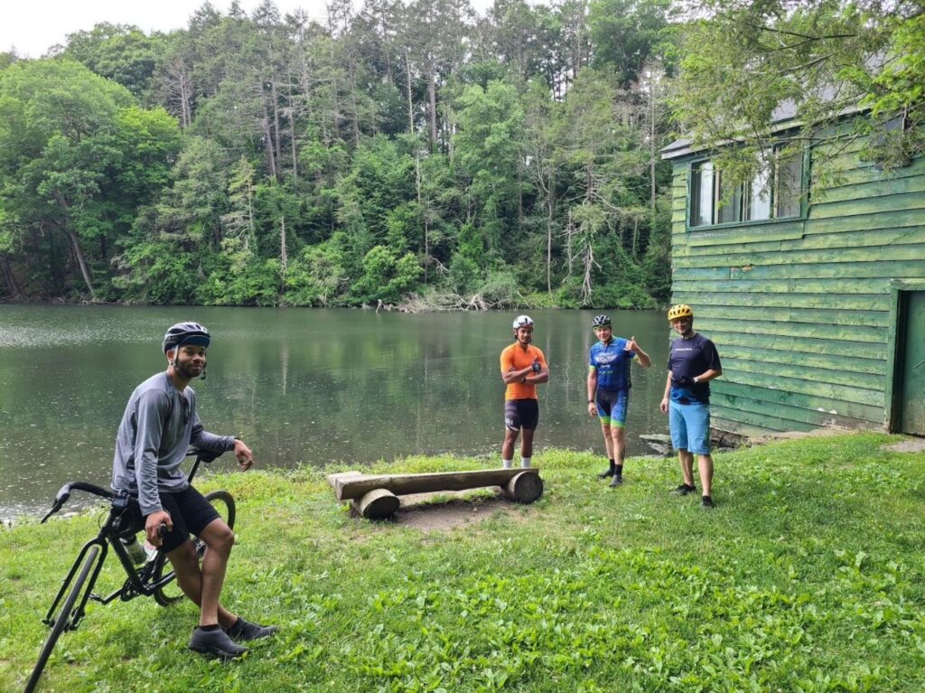
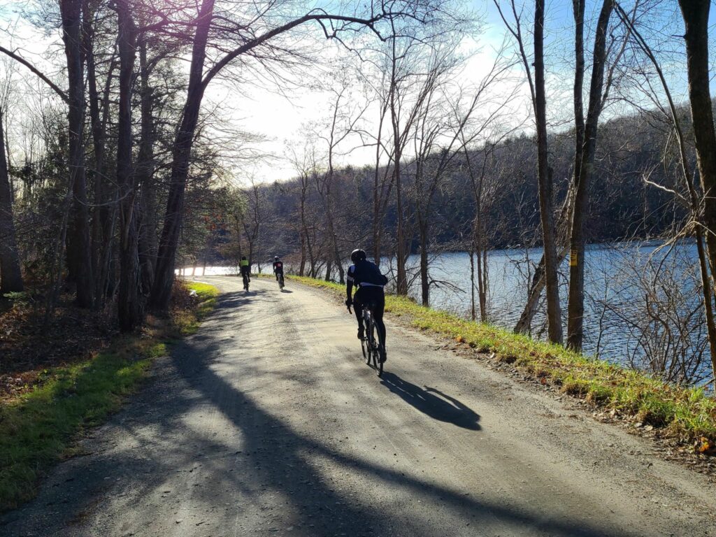
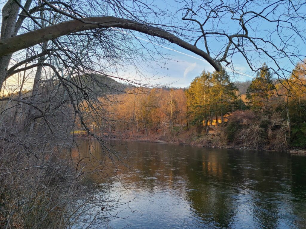
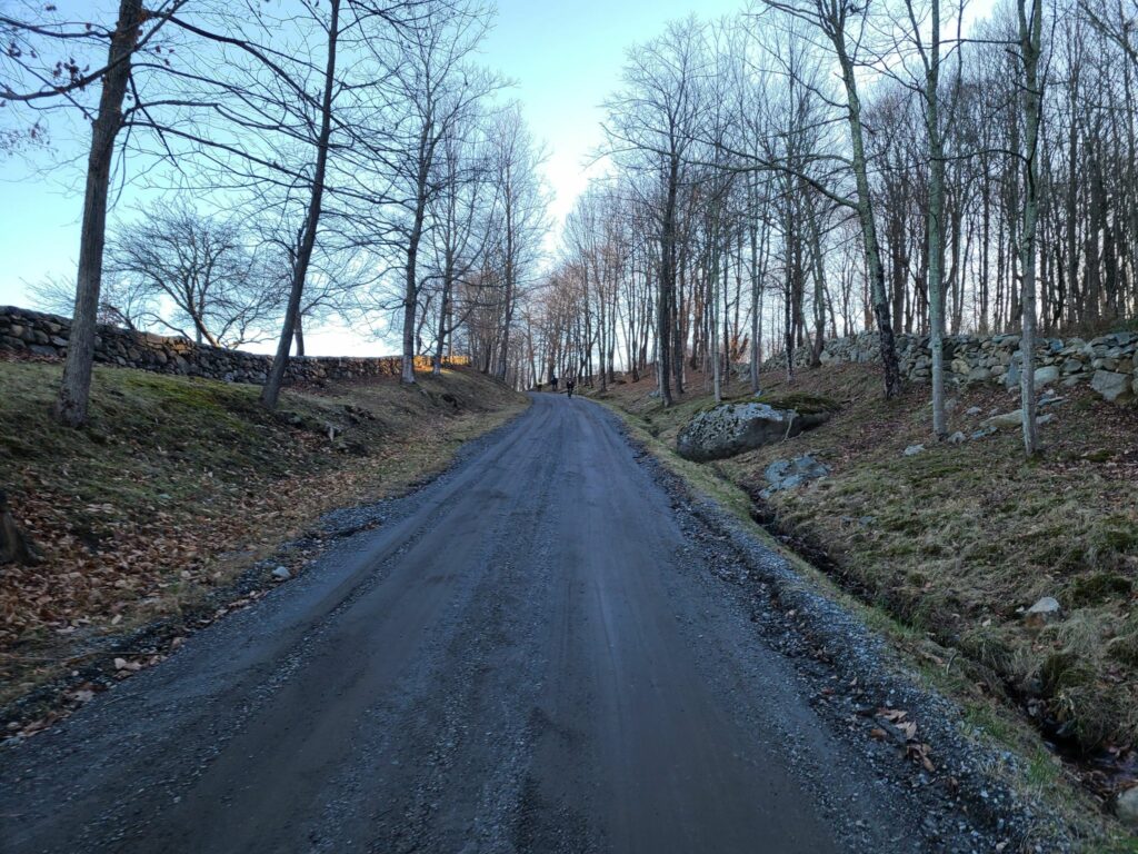
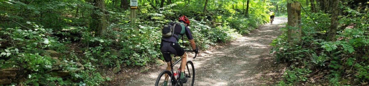
Photos and Ride Recaps: See the links to Steve’s Strava entries, below. You’ll find photos and a quick summary of each ride.
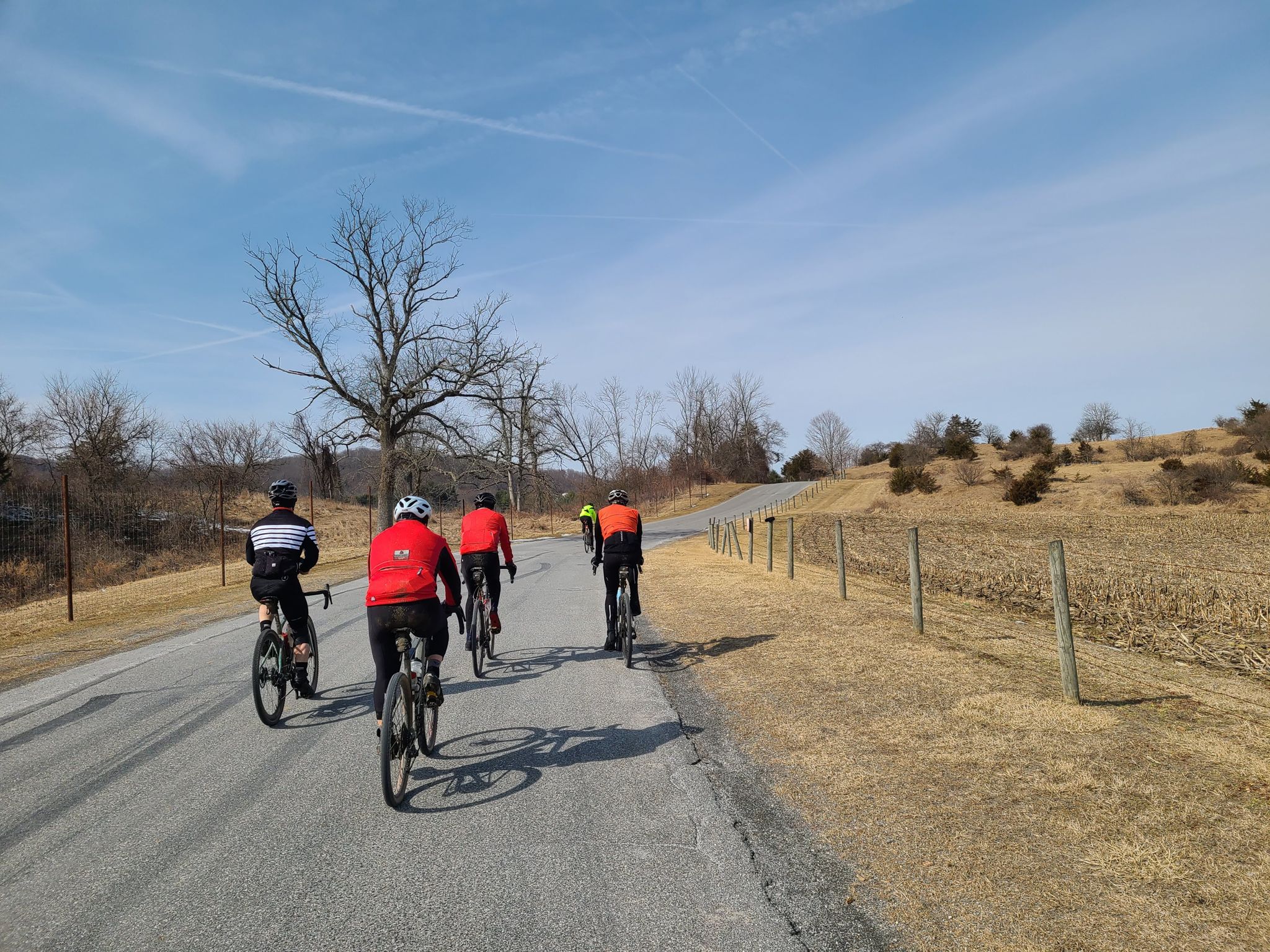
Sunday, April 21: Katonah, NY: https://www.strava.com/activities/11234340871]
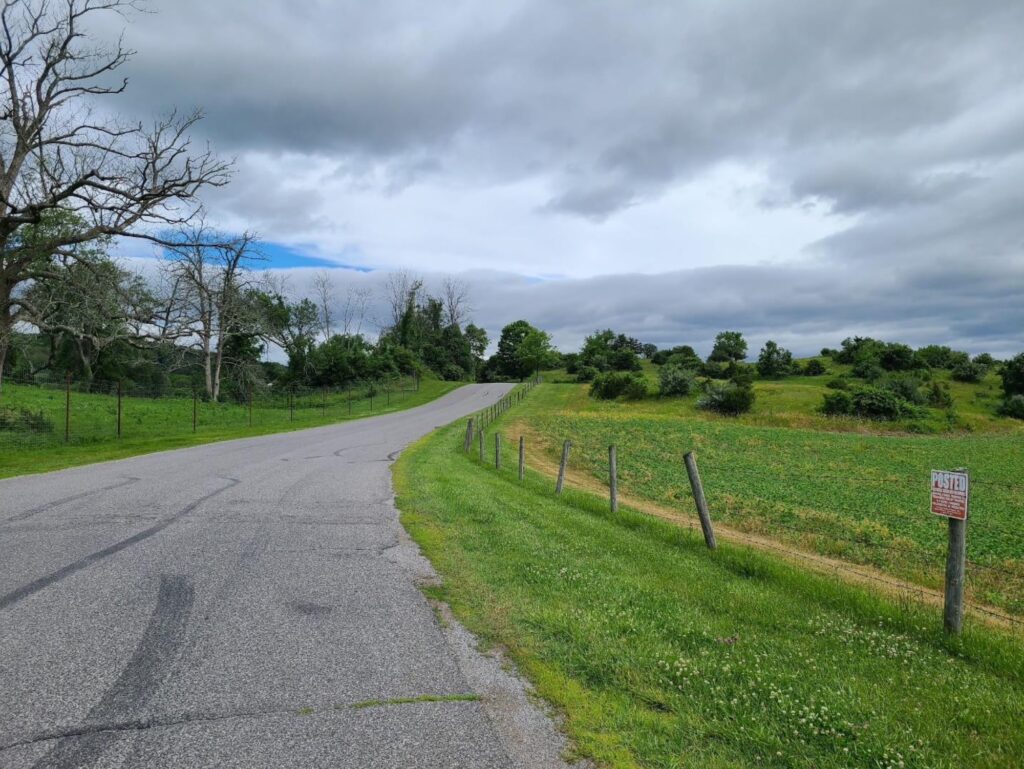
Saturday, April 27: Dover Plains, NY: https://www.strava.com/activities/11278170936]
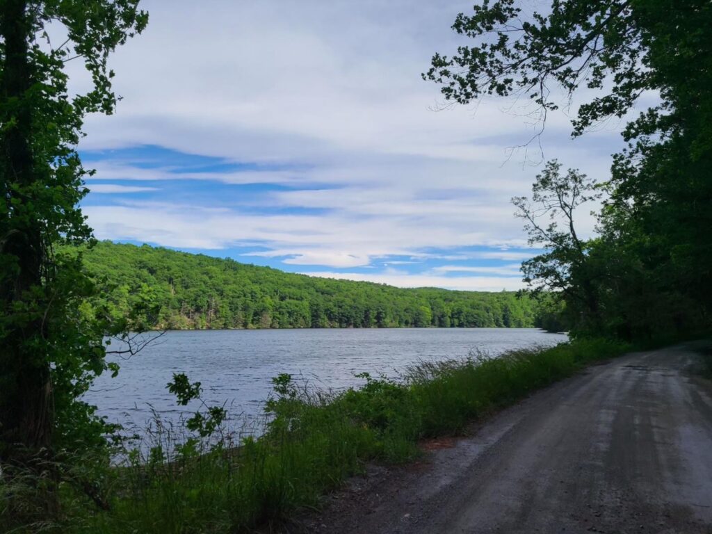
Saturday, May 4: Cold Spring, NY: https://www.strava.com/activities/11332463445]
Saturday, May 18: Pawling, NY: https://www.strava.com/activities/11441847954 ]
Saturday, June 15, Far Hills, NJ (Natirar Park): https://www.strava.com/activities/11660226512]
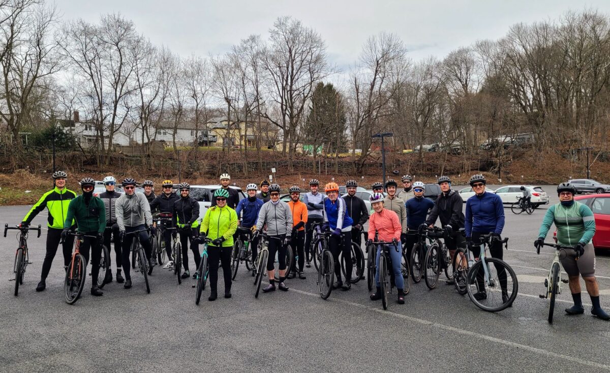
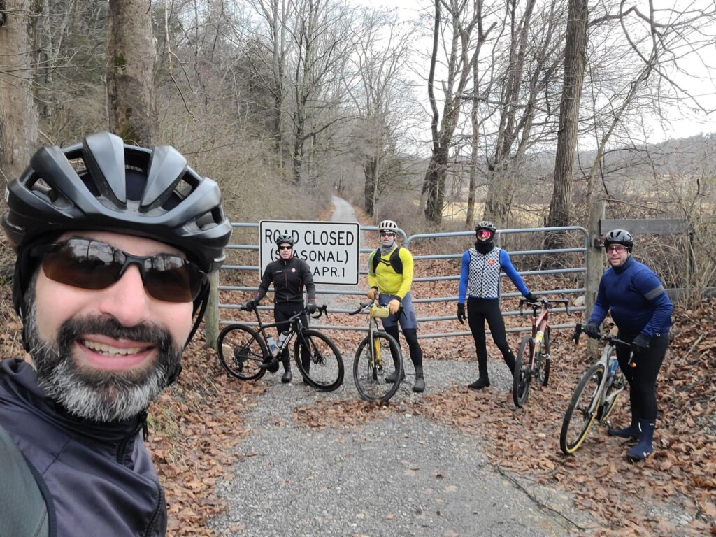
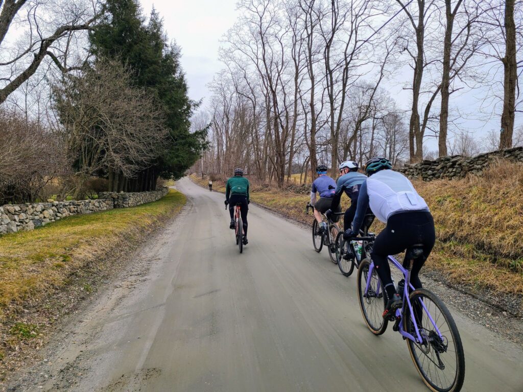
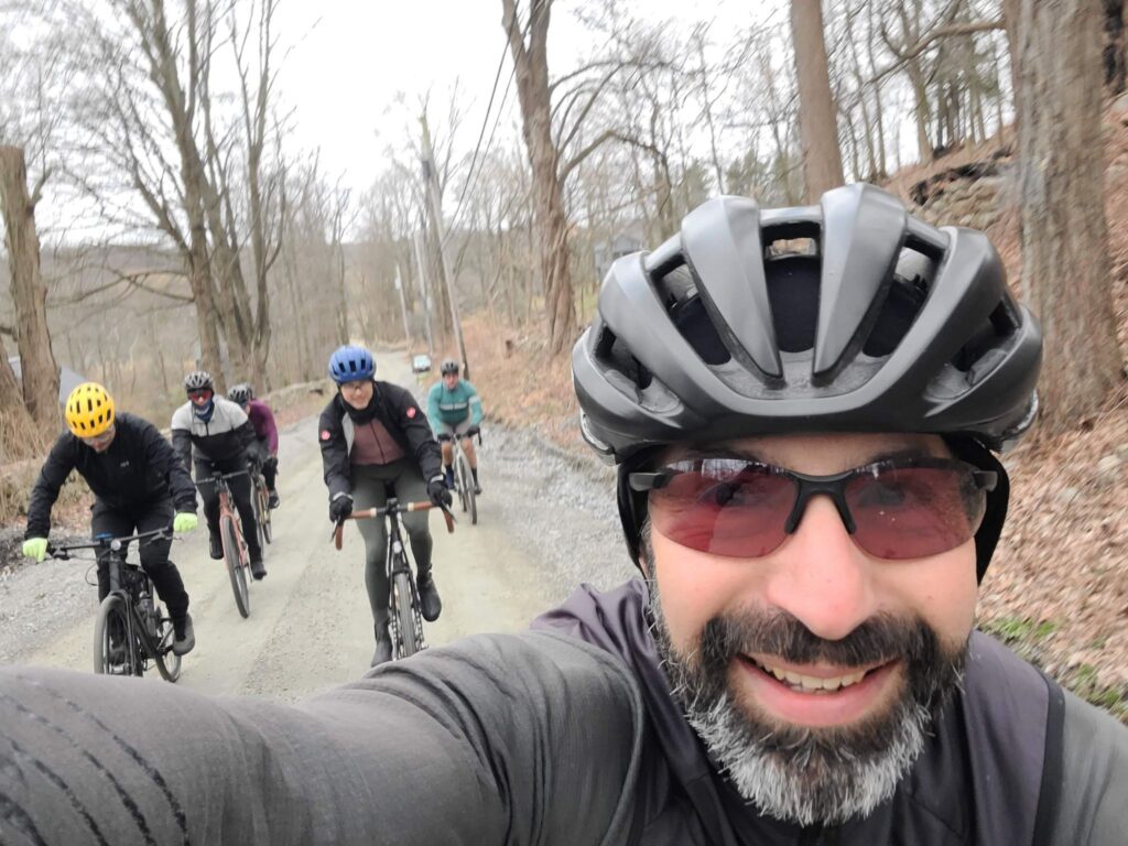
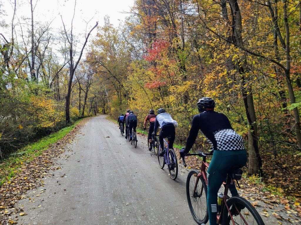
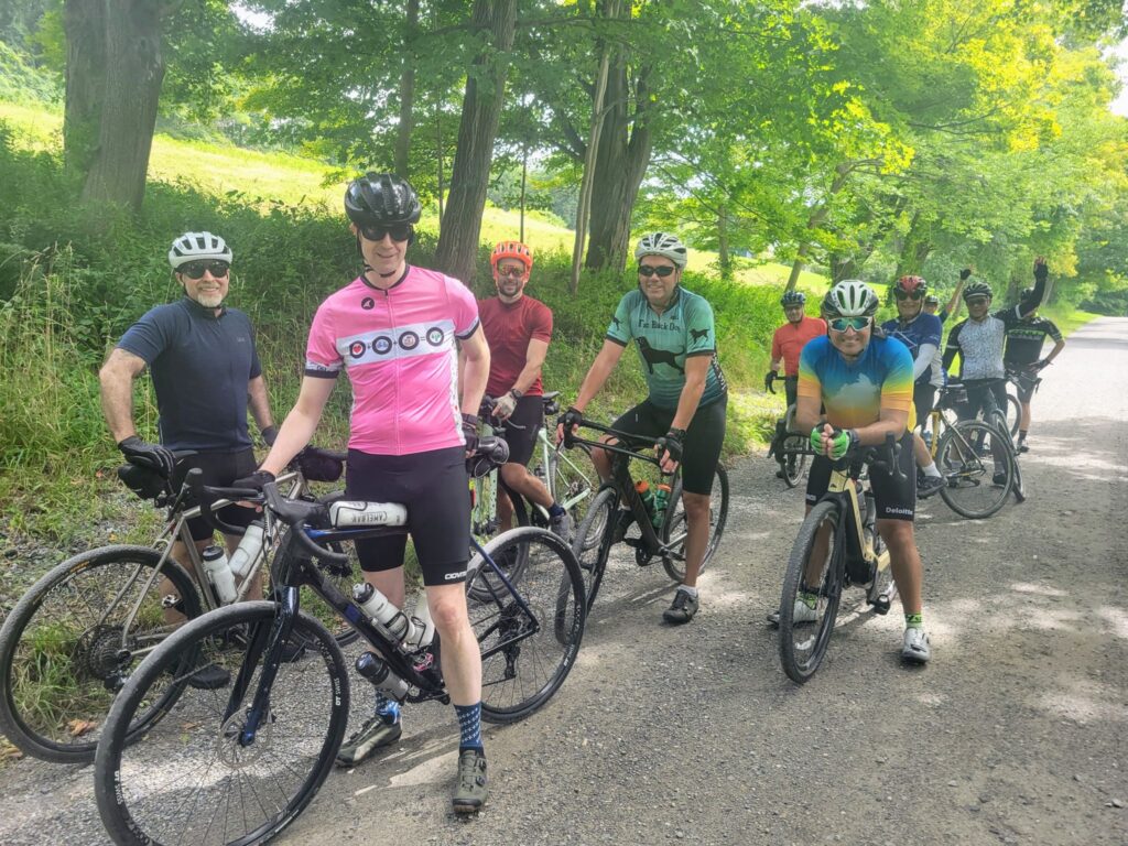
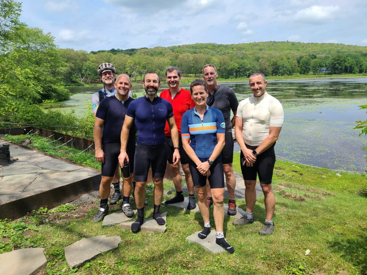
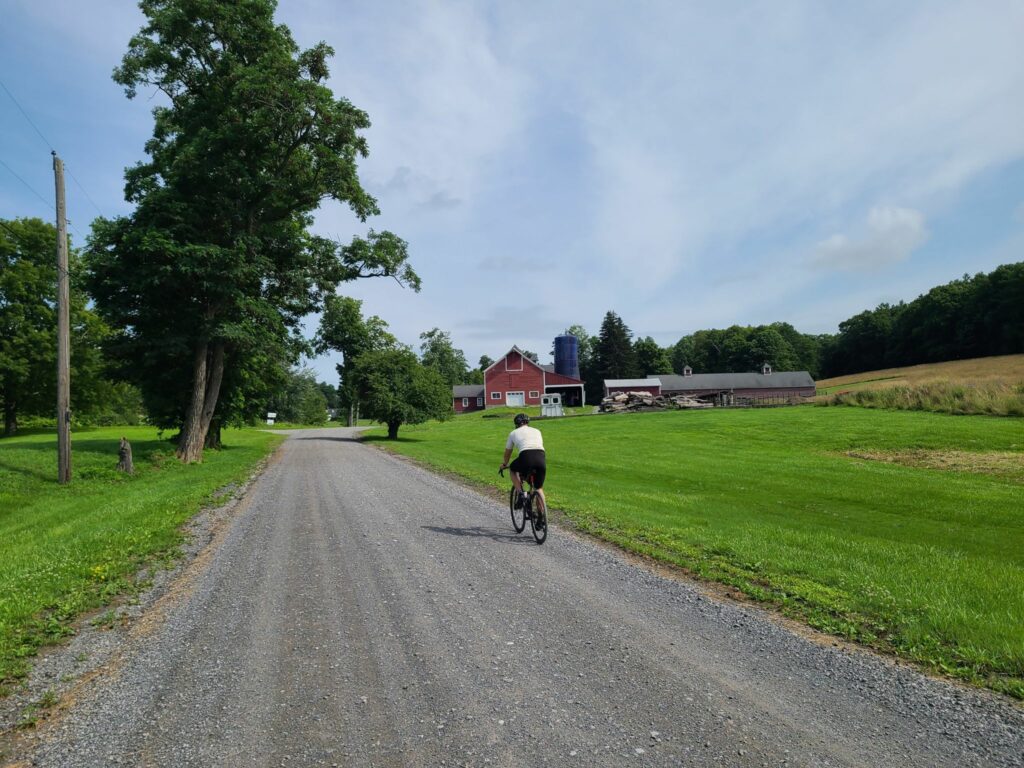
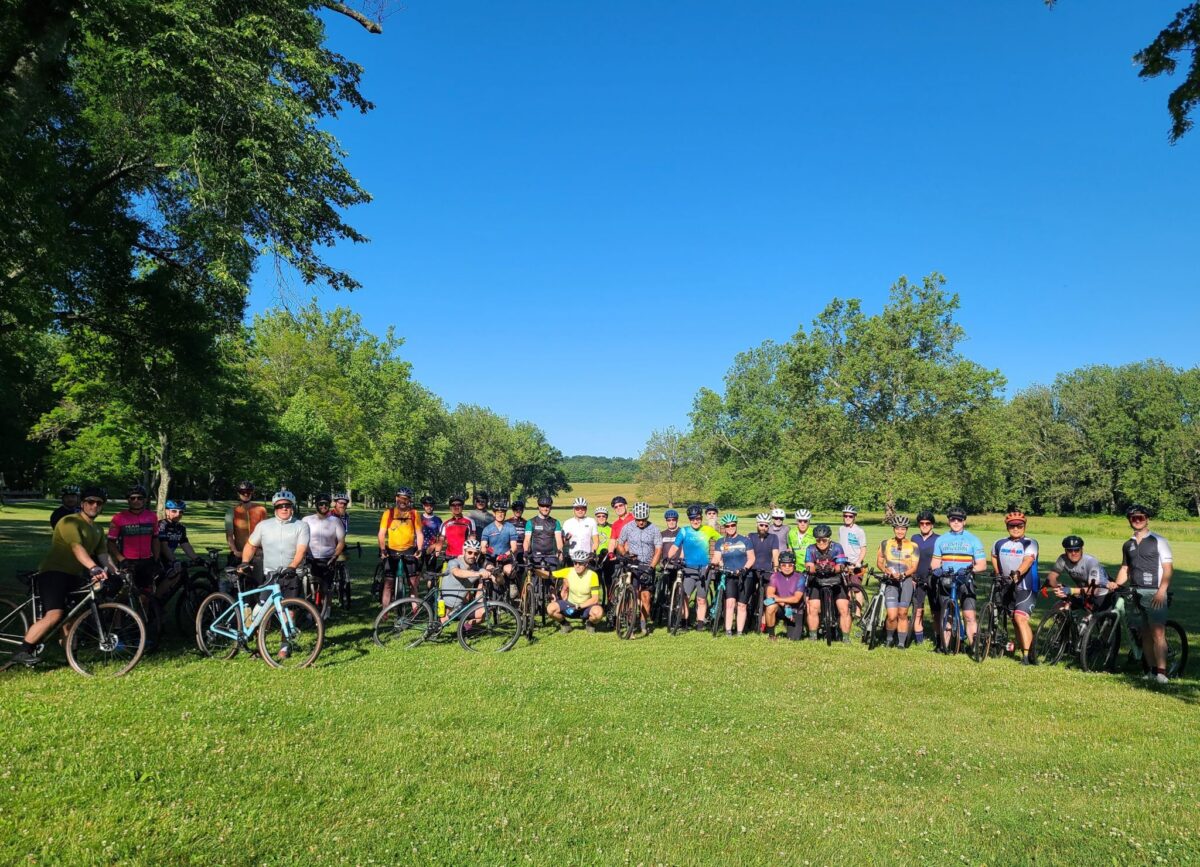
Original Announcement: I’m happy to announce Gravel NY’s third annual Spring Gravel Series! We have planned five weekends of gravel rides, starting on April 21. Each ride will have three “pace groups”, which will differ in speed, distance, and intensity of climbing. There will be a common hangout location after each ride, so all groups can socialize over food and drinks. Participating in all five rides will take you to all of the major gravel riding zones in our region – a true gravel tour! We hope you can join us!
Questions? You can email Steve at track.smart@gmail.com
Disclaimer: This is totally informal. You ride at your own risk and are responsible for your own safety. You are expected to be self-sufficient. We cannot guarantee the condition or safety of roads and trails. Nor can we control the behavior of other riders. This is not a supported event. We expect everyone to be an experienced cyclist who can repair a flat, carry appropriate food and hydration, and navigate independently if they lose the group.
SCHEDULE OF RIDES*
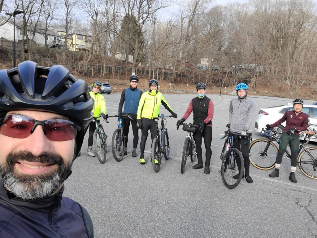
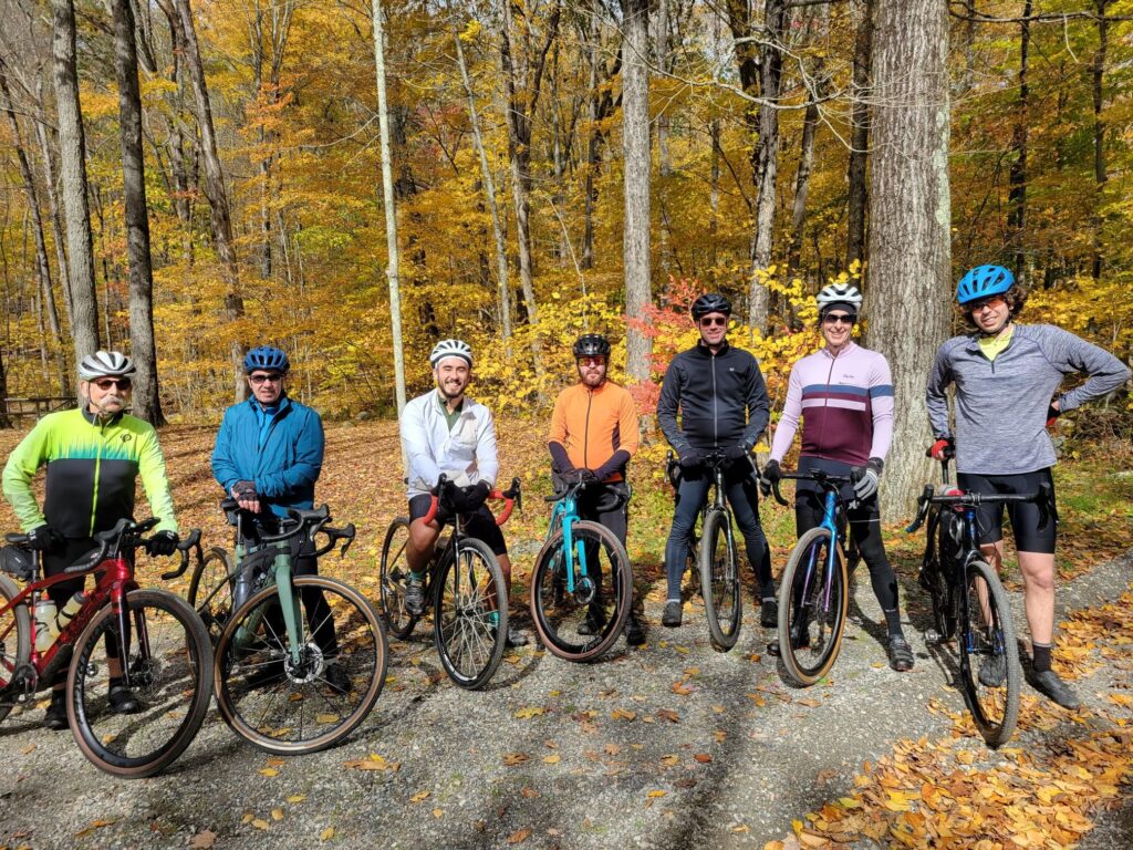
Sunday, April 21: Katonah, NY. Ride some of the best and most scenic rural roads in Westchester County. [THIS RIDE IS COMPLETE! See Steve’s Strava activity here: https://www.strava.com/activities/11234340871]
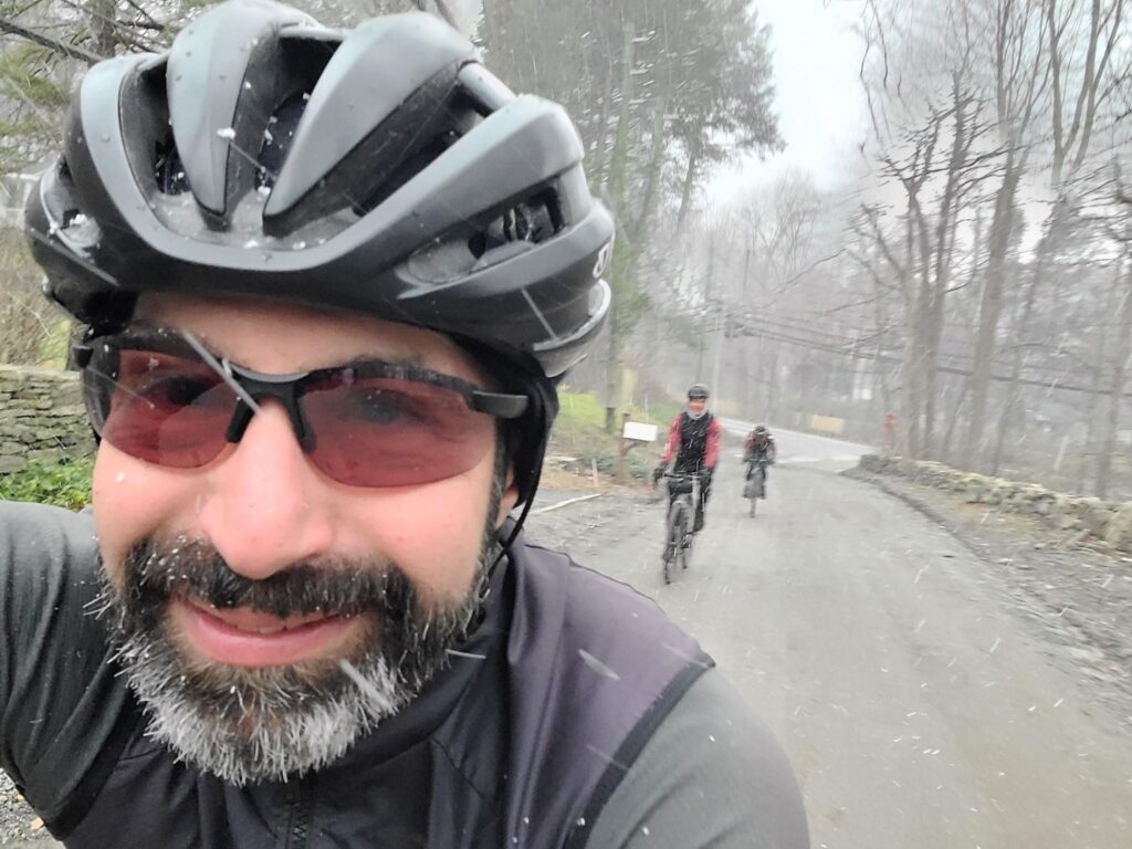
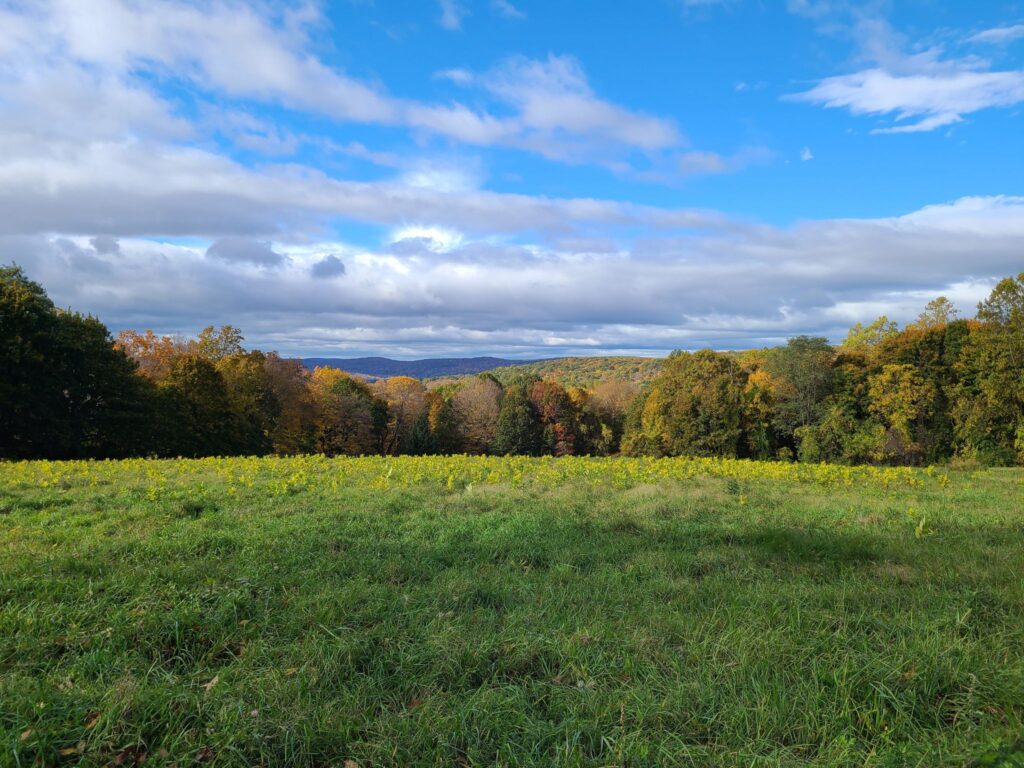
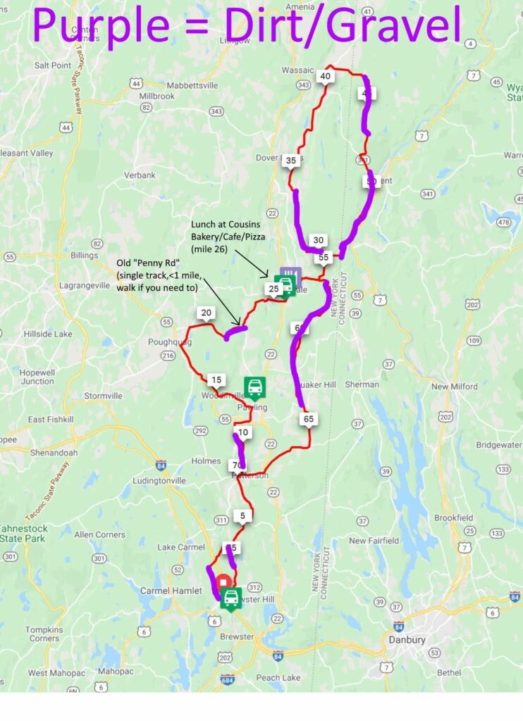
Saturday, April 27: Dover Plains, NY. The picturesque dirt-roads of Dutchess County. It is worth the drive or train ride! [THIS RIDE IS COMPLETE! See Steve’s Strava activity here: https://www.strava.com/activities/11278170936]
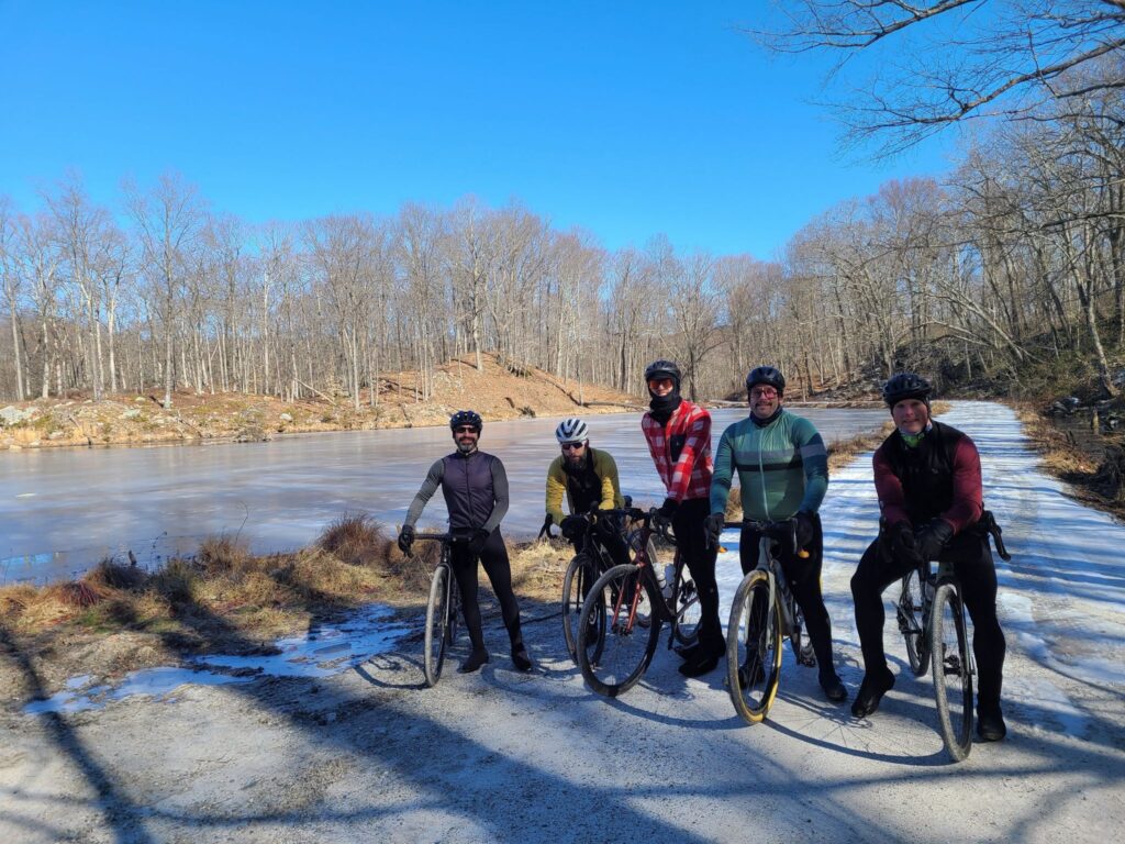
Moved to SATURDAY, May 4: Cold Spring, NY. Much of the ride is near Fahnestock State Park, with lots of fun and challenging climbs. [THIS RIDE IS COMPLETE! See Steve’s Strava activity here: https://www.strava.com/activities/11332463445]
Saturday, May 11: Columbia County Gravel Century. This is not one of our SGS rides, but if joining some members of the faster pace group for 100 miles and >10,000 ft of climbing is in your wheelhouse, feel free to reach out to Steve for more information: track.smart@gmail.com. [THIS RIDE IS COMPLETE! See Steve’s Strava activity here: https://www.strava.com/activities/11389565400]
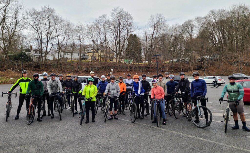
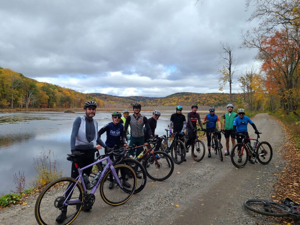
Saturday, May 18: Pawling, NY. We will spend much of the ride in gorgeous Litchfield County, CT. The NY/CT border has some of the nicest gravel riding in our region. [THIS RIDE IS COMPLETE! See Steve’s Strava activity here: https://www.strava.com/activities/11441847954 ]
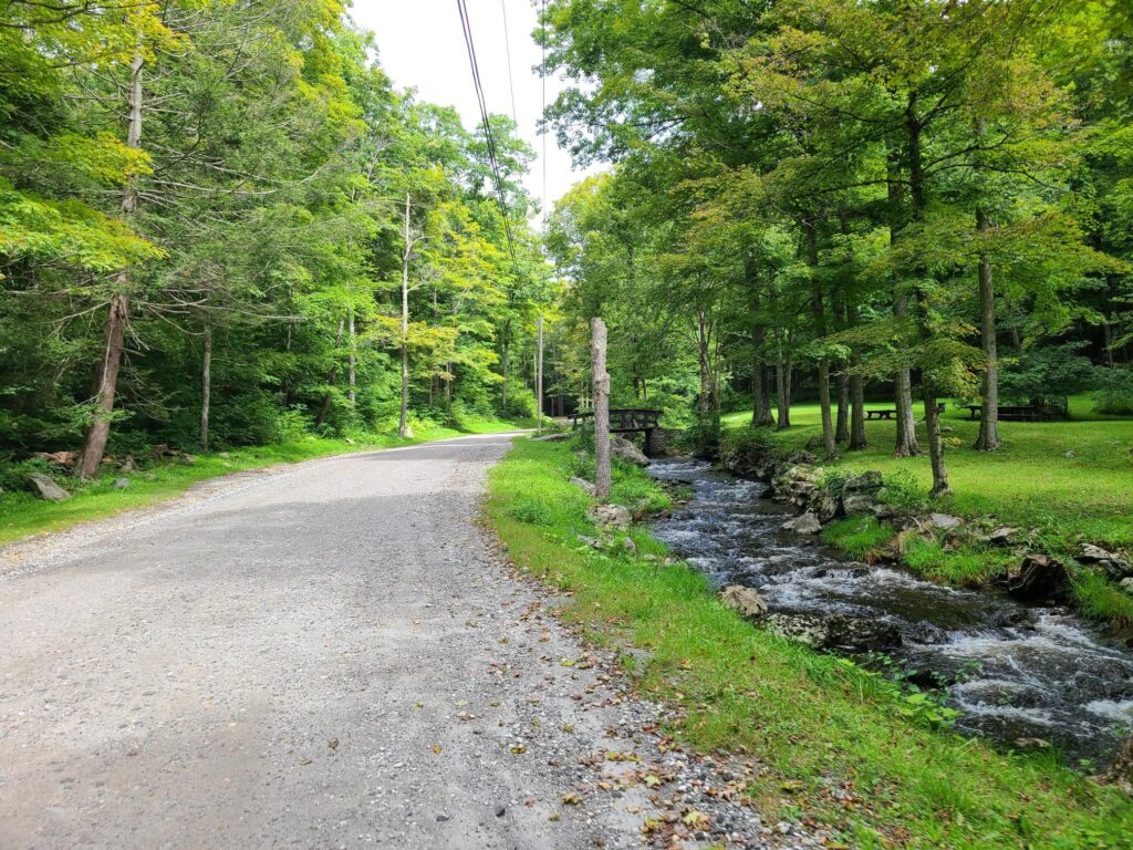
Saturday, June 15, Far Hills, NJ (Natirar Park). Spectacular ride that goes through the Teetertown Ravine and Lockwood Gorge – worth the trip! [THIS RIDE IS COMPLETE! See Steve’s Strava activity here: https://www.strava.com/activities/11660226512]
For Saturday rides, the default rain date will be Sunday of the same weekend. We will generally start each ride around 9am, with adjustments for train schedules. Ride schedule and routes are subject to change due to weather or other factors.
PACE GROUPS
Long (60-65+ miles, faster speed, and killer climbs): These rides will be led by Steve. 17+ mph (“Strava speed” on paved solo rides); 19-20mph (NYCC standards); ~14MPH average on gravel rides with 100ft/mile of elevation gain.
Medium (45-55 miles, moderate speed, skips some of the deadliest climbs): Kathy will lead these rides, which will still be challenging, but travel at a slower speed. Pace expectation: 14 mph (“Strava speed” on paved solo routes);l 16-17 mph (NYCC standards); ~12 MPH average on gravel rides with 100ft/mile of elevation gain.
Short (40-45 miles, no-drop): Ralph will typically lead these rides. This group will stop more often to rest, take photos, and enjoy the scenery, riding at a friendly, no-drop pace. Pace expectation: 12-13 mph (“Strava speed” on paved solo routes); 14-15 mph (NYCC standards); 10 MPH average on gravel rides with 100ft/mile of elevation gain.
“Strava speed” = actual recorded average speed for long, solo paved rides on relatively flat terrain (i.e., not group rides with drafting).
EXAMPLE RIDES FOR EACH PACE GROUP
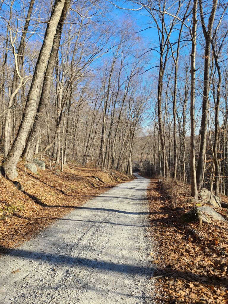
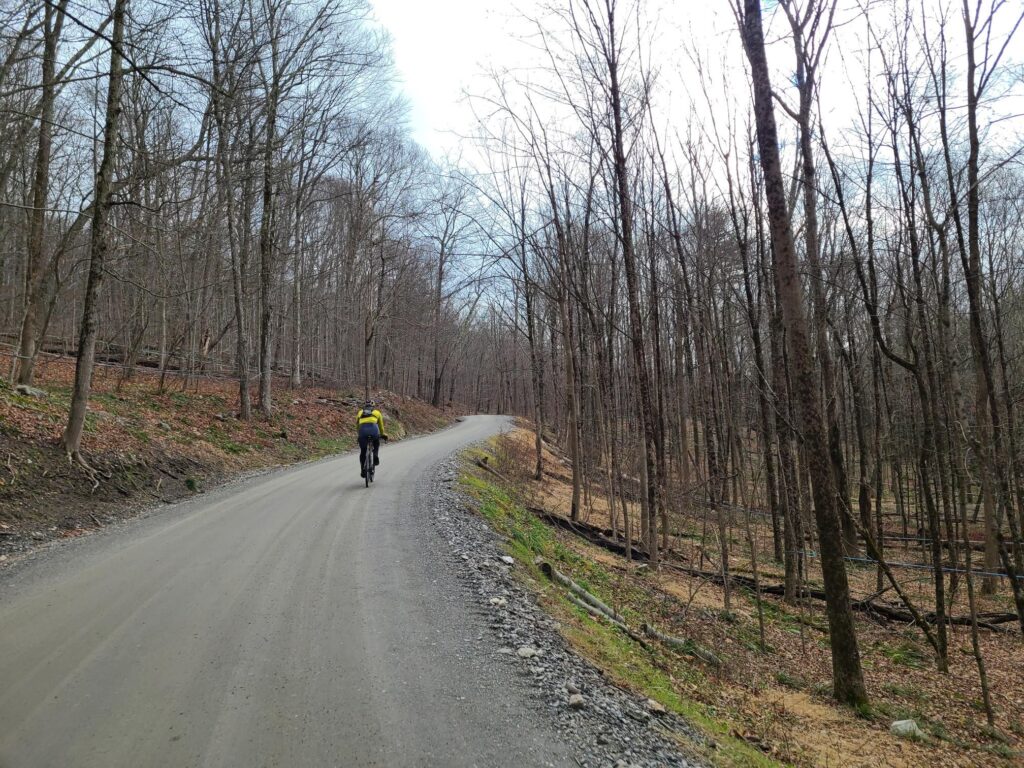
It is difficult to describe pace for rides that include dirt, pavement, and substantial climbing. You can compare these examples to your own gravel rides over similar distances and elevation gains. PLEASE PAY ATTENTION TO THE ELEVATION GAIN. THESE WILL BE HILLY RIDES.
Long: 63 miles, 6300 ft climbing, ~14 MPH.
– Example: https://www.strava.com/activities/9023394582
Medium: 47 miles, 4500 ft climbing, ~12 MPH.
-Example: https://www.strava.com/activities/9023193918
Short: 45 miles, 3600 ft climbing, ~10.5 MPH.
-Example: https://www.strava.com/activities/9197009980
[These examples are from last year’s SGS rides]
RIDE ORGANIZATION
We will have at least one place to buy food and drink on each ride, but we are only doing grab-and-go during the ride itself (e.g., gatorade + portable snacks). Each group will have a few “wait for everyone” stops. That said, the Long and Medium groups will not wait for riders who are considerably behind the pace. The Short group will be no-drop — with some limits. If you are walking the hills and suffering, even at the slower ride pace, please take a shortcut back to the start and tell the rest of the group to travel without you. We can all hangout after the ride.
THREE REQUESTS
1) Please choose a ride group based on your riding speed, not distance. We want the groups to finish around the same time, so we can all hang out post-ride. We understand you can go the longer distance, but it will be more fun if people ride together (rather than get dropped) and then hangout for food and drink after the ride.
2) Ride safely! Please read our ride guidelines: https://grny.org/guidelines. Key points:
– Control your speed when traveling downhill. Racing downhill is how many serious injuries happen. If you’d like to ride hard, save it for the climbs! Then wait at the top.
– Being predictable to other riders and cars will keep everyone safer. Never pass a rider on the right. If you want to pass, call out, and then pass on their left (like a car).
– You need some form of off-line navigation and should have a backup navigation plan. Why? Many areas won’t have cell coverage. And phone batteries can die during long rides. Examples of offline navigation: Dedicated bike computer (Garmin, Wahoo, etc); Phone with paid subscription to Ride with GPS or Strava and remembering to download to route for offline usage before the ride; Paper map + cue sheets.
3) Don’t blow up your pace group.
– If one or two riders are traveling much faster than the group leader, others will chase them. Then everybody will get strung out riding alone.
– If you are faster than the group average, wait at the top of hills and after major road crossings.
– If there are big speed differences within a group, the group will subdivide at the first catch-up stop. This way everybody will have somebody to ride with.