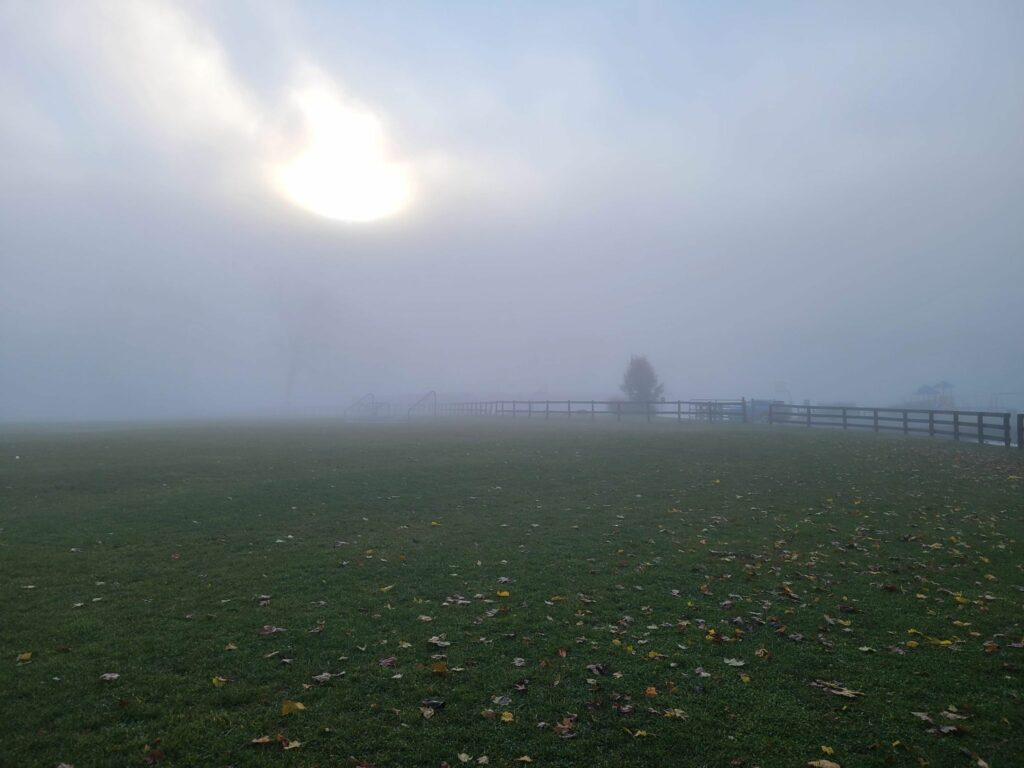
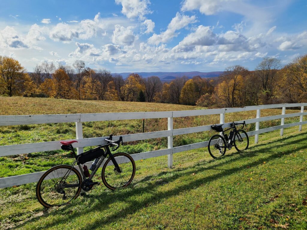
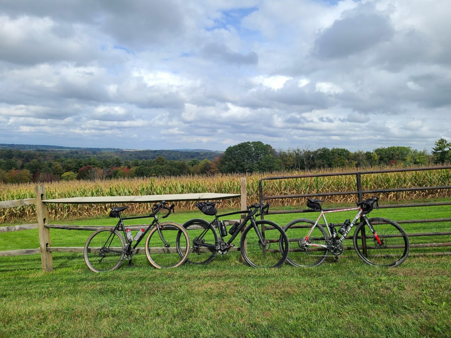
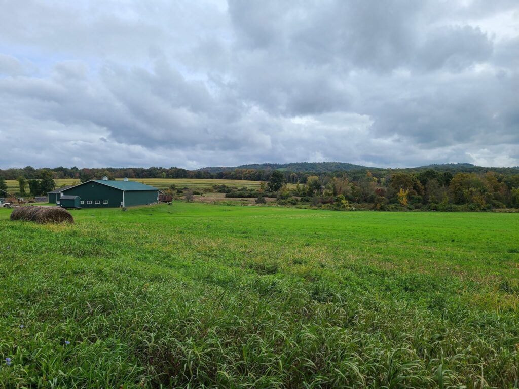
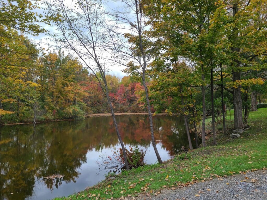
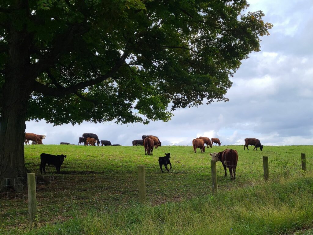
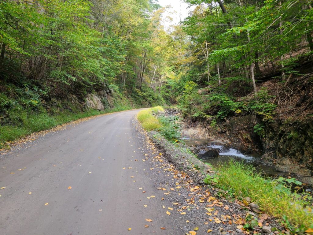
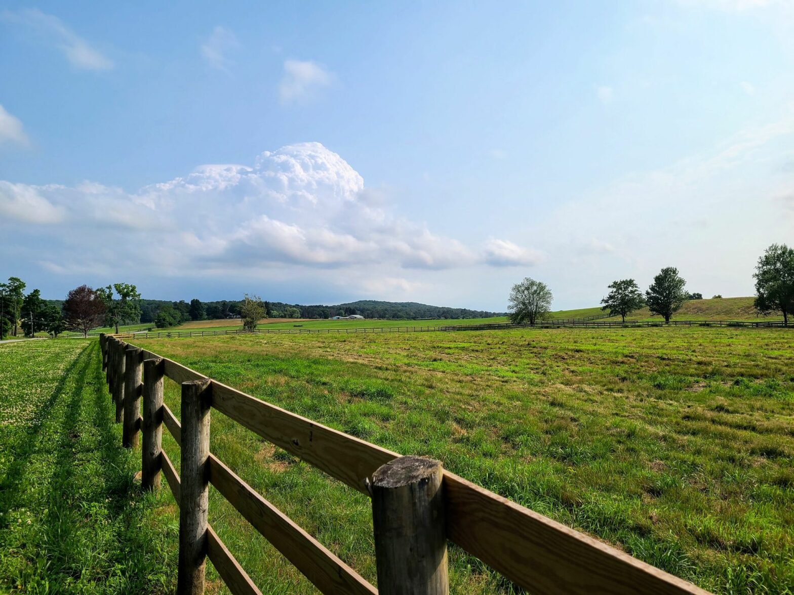
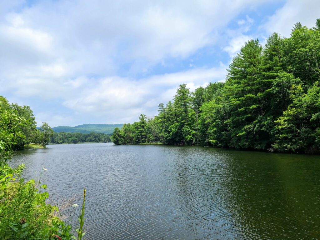
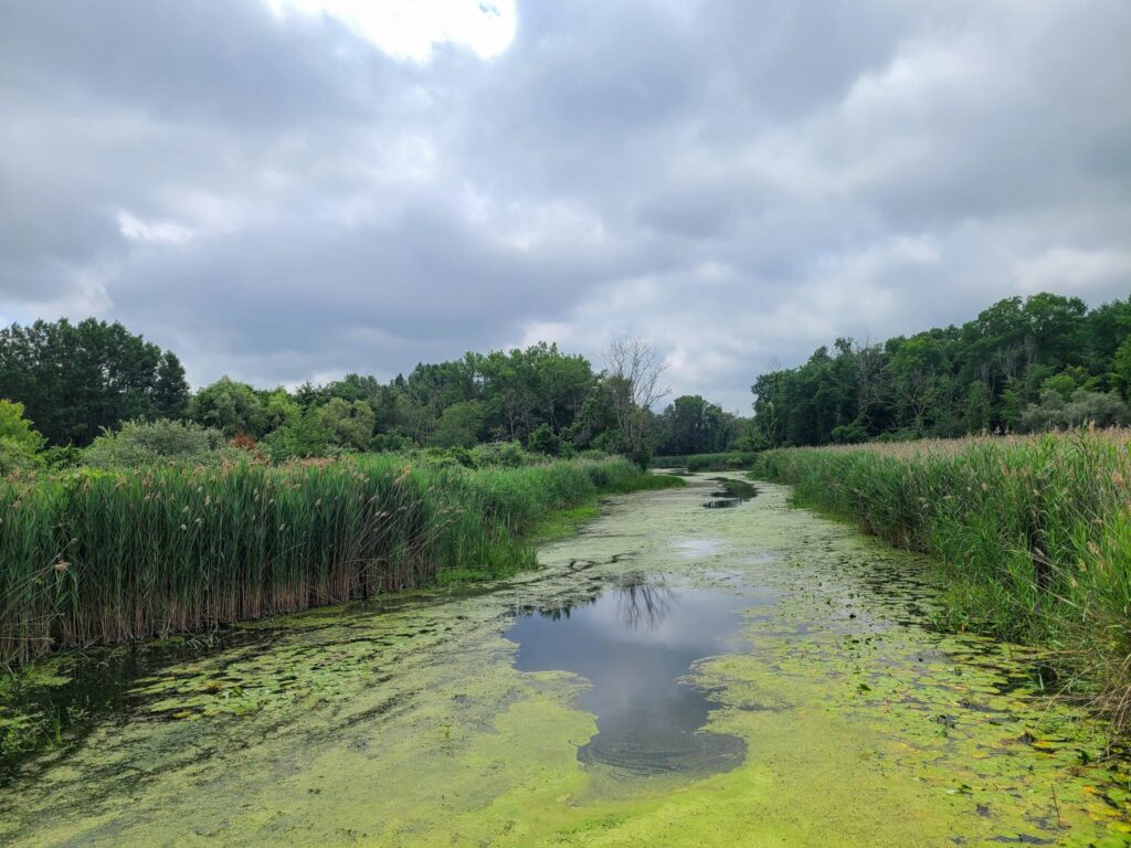
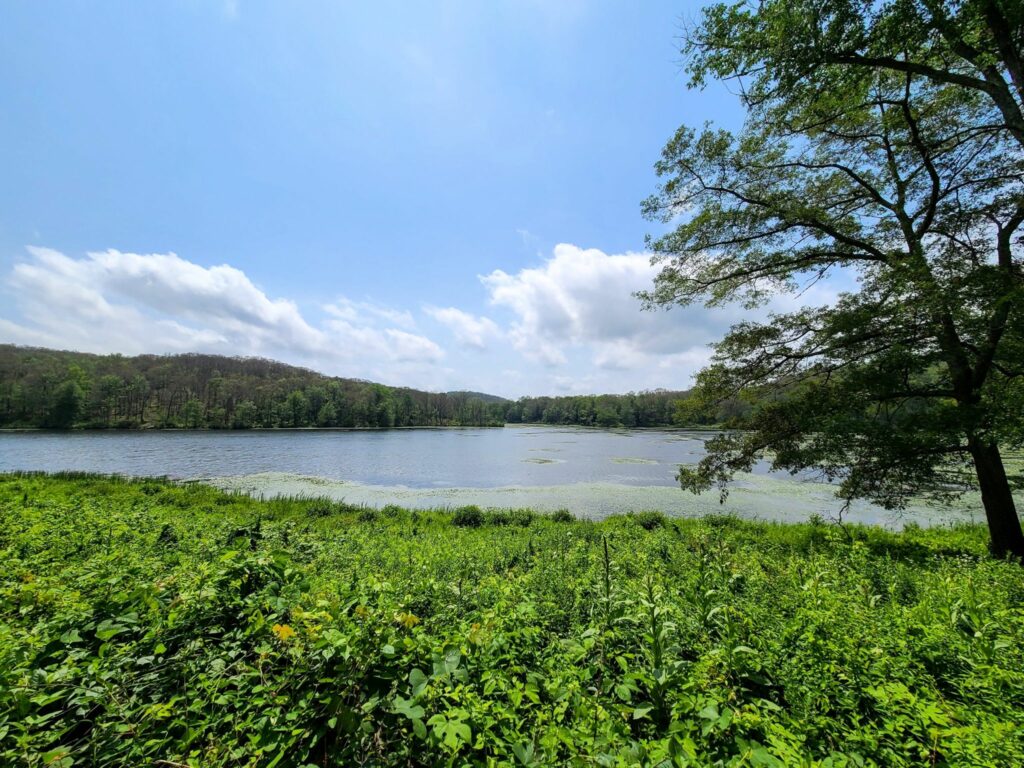
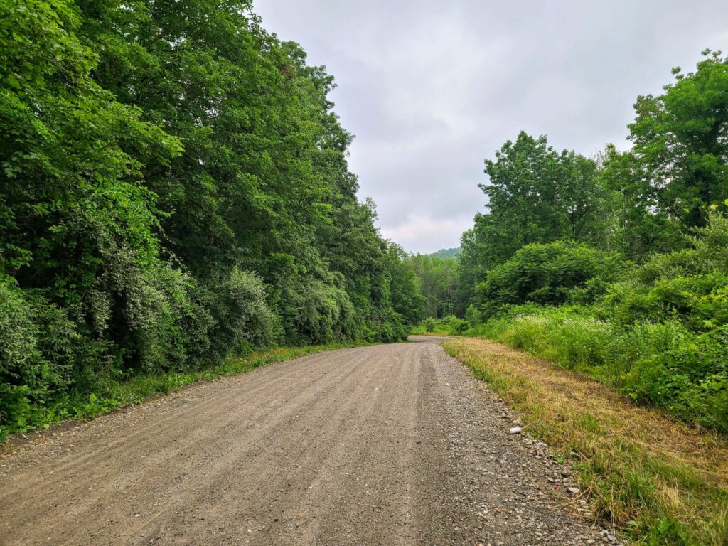
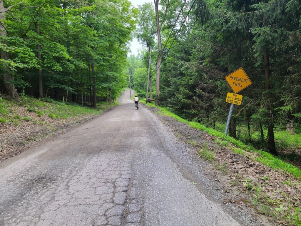
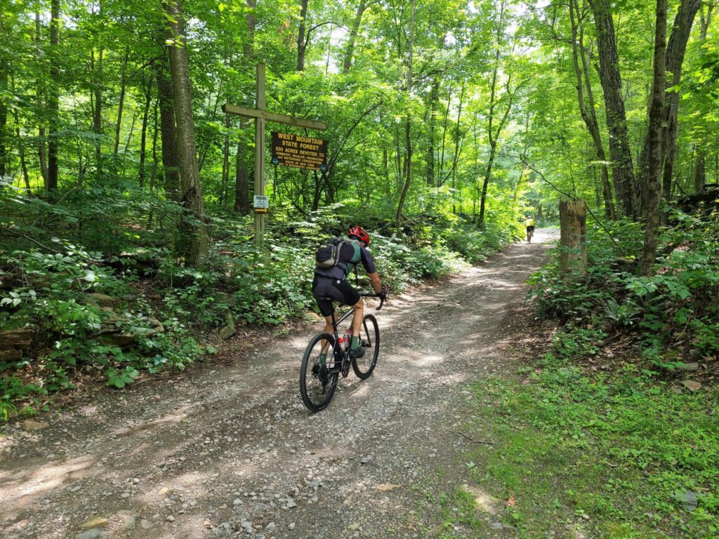
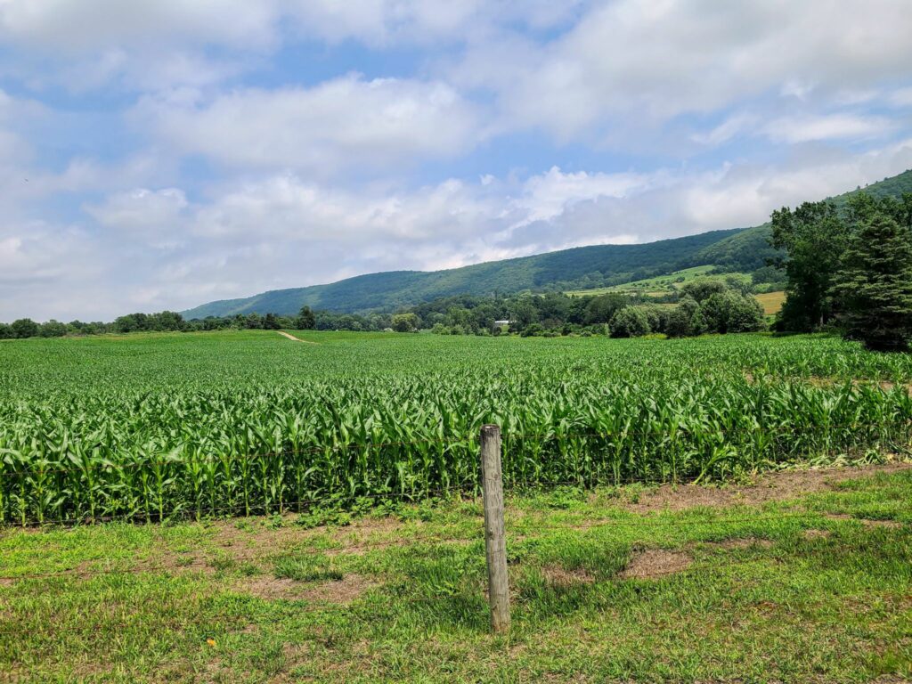
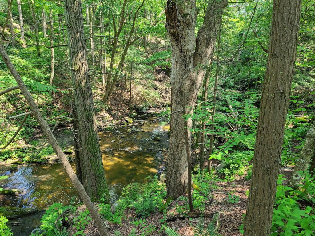
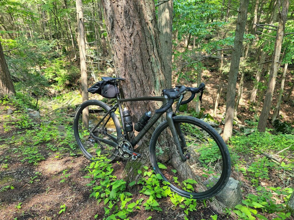
Dirt Roads of the Dover Plains

We embarked from the Dover Plains train station on Oct 9, 2021 for gravel ride in Dutchess County, NY. It was a lovely day out. Miles and miles of farms, forests, and hilltop views on hardpacked dirt roads (and pavement). We saw hints of fall color, particularly at higher elevations and along ridge lines.

This 65 mile route contains only actual roads (45% dirt and 55% paved) and no forest trails, so nothing too technical. Most of the dirt roads were fast-moving hardpack. That said, be wary of fast dirt descents with sharp turns, washboard, potholes, or occasional loose stuff. This route has quite a bit of climbing in total (probably closer to 6000′ rather than the 5000′ that Ride with GPS lists), but only one stout climb continues for a long time. So the challenge is the continual up-and-down rather than long climbs throughout.

I updated the route so that it detours through the town of Millbrook, since our original lunch location has closed permanently (sadly). Credit goes to Mark L for the original route.

Final Route: https://ridewithgps.com/routes/37731414

Note 1: Strava Events disappear after they are completed. I sometimes post “ride reports” so other members can find past routes.

-Steve (track.smart@gmail.com)

A field with cows under a tree
A dirt road with a brook running along the side

Brewster To Wassaic Gravel Ride

This event was on July 5, 2021: Overall, it was a challenging, but very rewarding ride to celebrate the Fourth of July weekend. The route included paved sections, gravel sections, a short section of forest trail (around mile 22), and several challenging climbs followed by memorable descents.

All riders started together in Brewster, tackled the wild Penny Lane forest trail, then continued to our lunch stop in Wingdale. We picked up an additional rider who took the same train to Brewster and was using our route as a jumping-off point for his bike trip to the Berkshires. Cousins Bakery/Pizzeria was closed for the holiday, so we had to make do with the deli/Dunkin Donuts/Mobile Station just down the road. Normally, Cousins provides some nice baked goods for bringing up the blood sugar! Around mile 28/29 our “extra” rider continued on his route, a second rider headed back towards Brewster to complete the 50 mile loop (and get home a bit earlier), while the rest of the group committed to the full 77 mile route.

RidewithGPS estimated the route at 6000’, but all of our devices registered well over 7000’ of total climbing on the day. Those climbs earned us some beautiful views and fun, roaring descents. Everybody survived the route, though some suffered a bit more than others on the climbs.

For future riders of this route: There are no stores of any kind from mile 26 to mile 69 (43 miles total), so we tried to fuel up during our pitstop in Wingdale. We used my portable water filter to top-off our water bottles around Macedonia Brook State Park, since it was a hot day. Come prepared with everything you need for that stretch of the ride!

MAIN ROUTE (77 miles, >7000’): https://ridewithgps.com/routes/36622714
SOUTHERN LOOP (50 miles, 5000’): https://ridewithgps.com/routes/32953734

[FYI: Strava removes all “events” from our feed once they have passed. I sometimes post “ride reports” so GrNY members can learn about past rides and hopefully try those routes themselves.]

-Steve