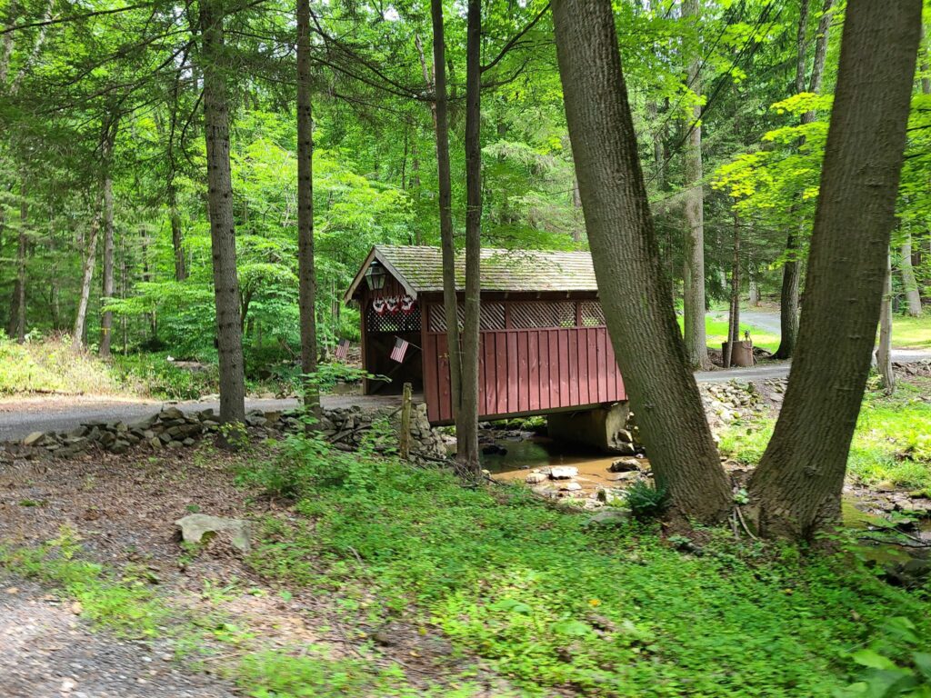
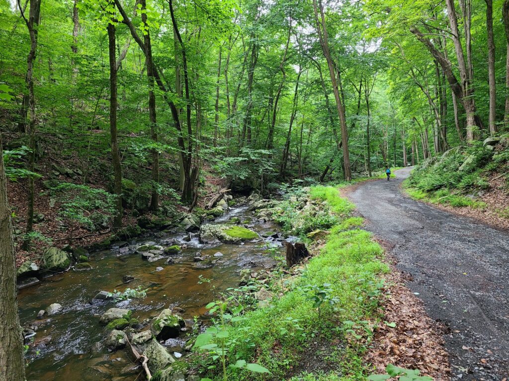
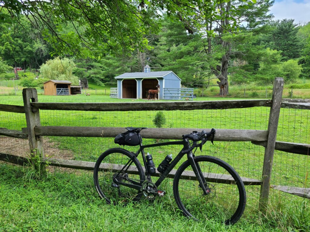
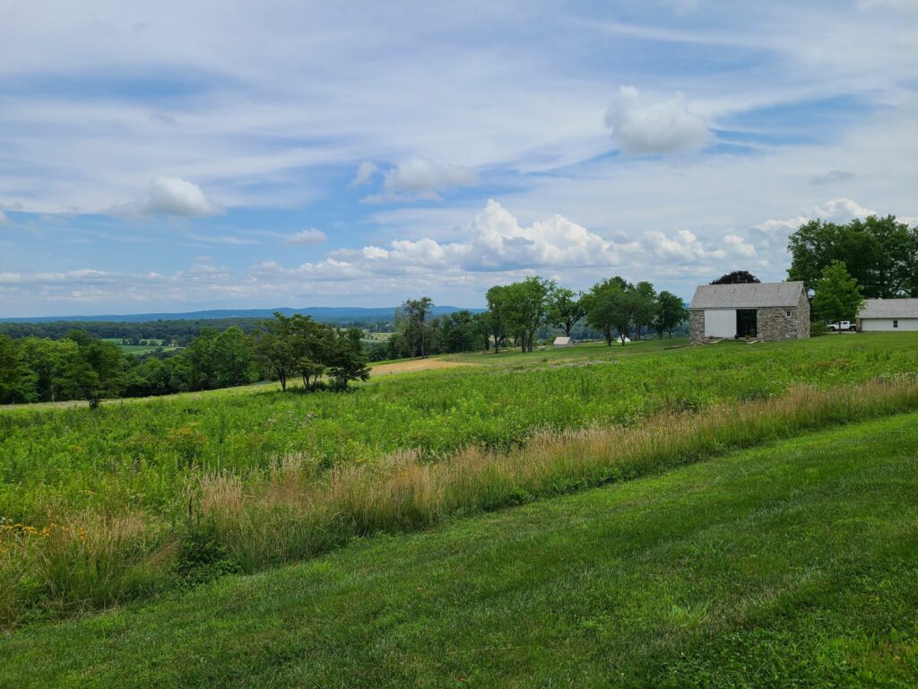
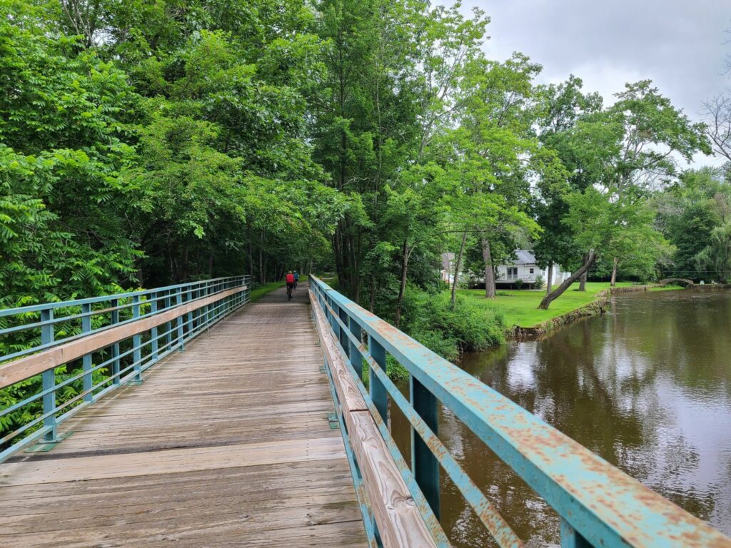
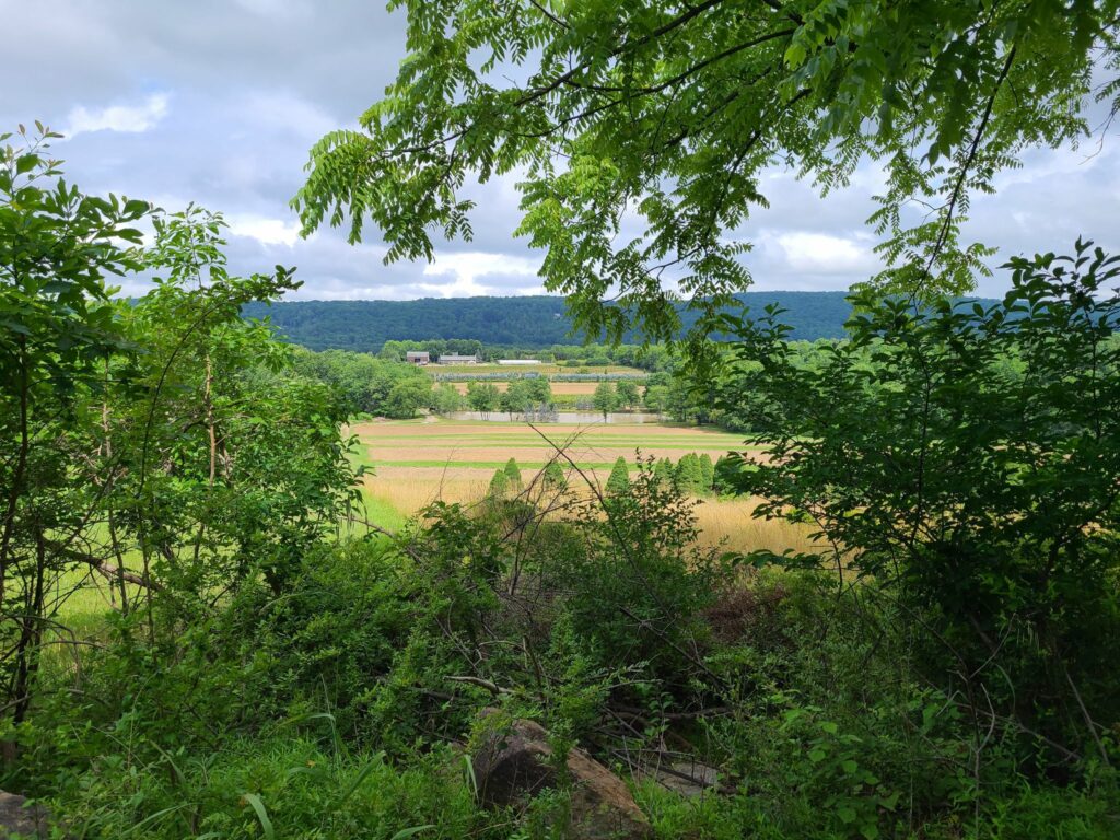
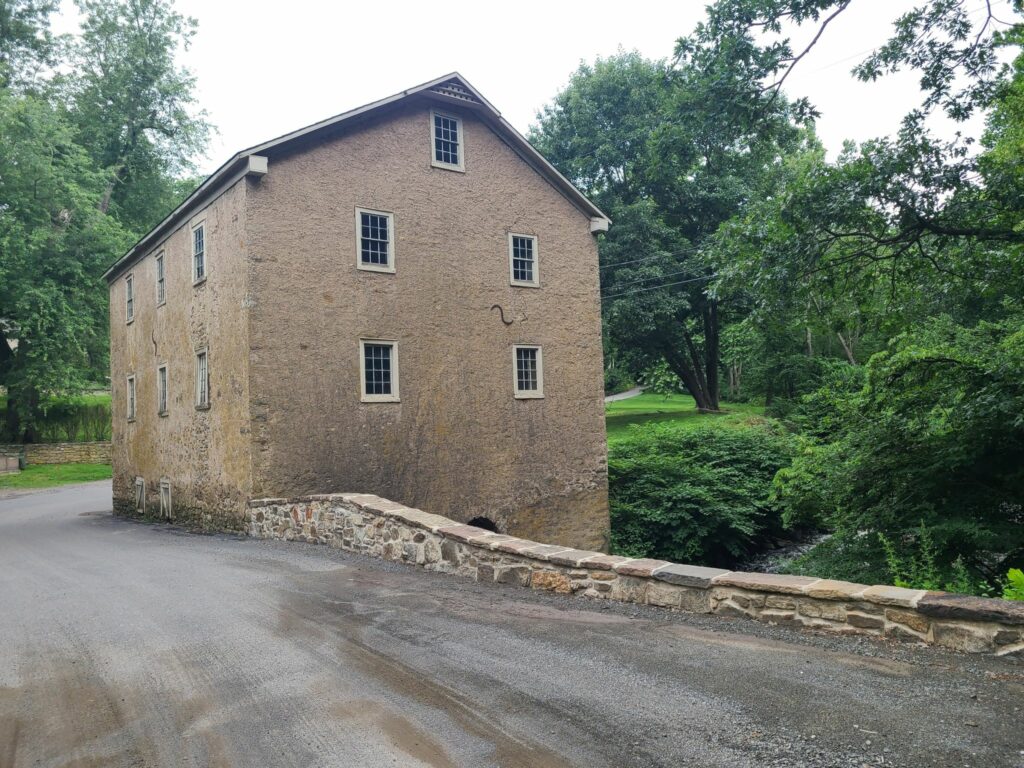
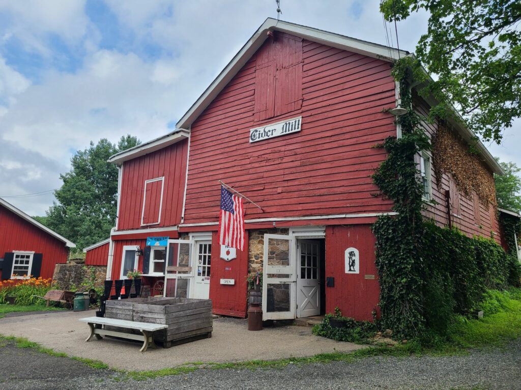
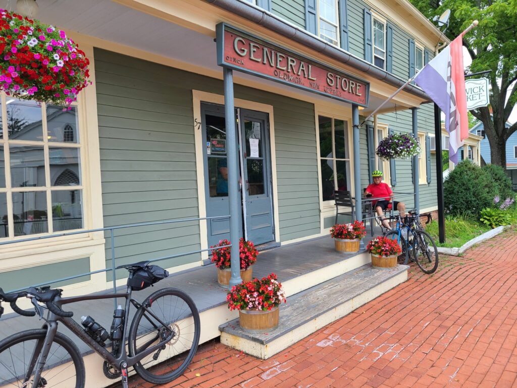
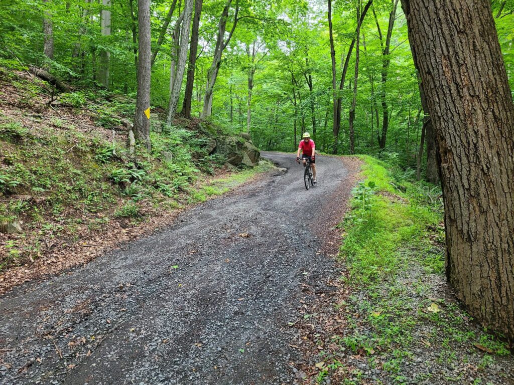
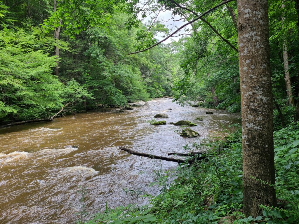
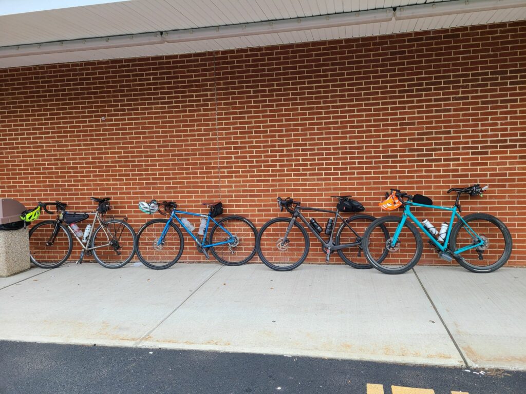
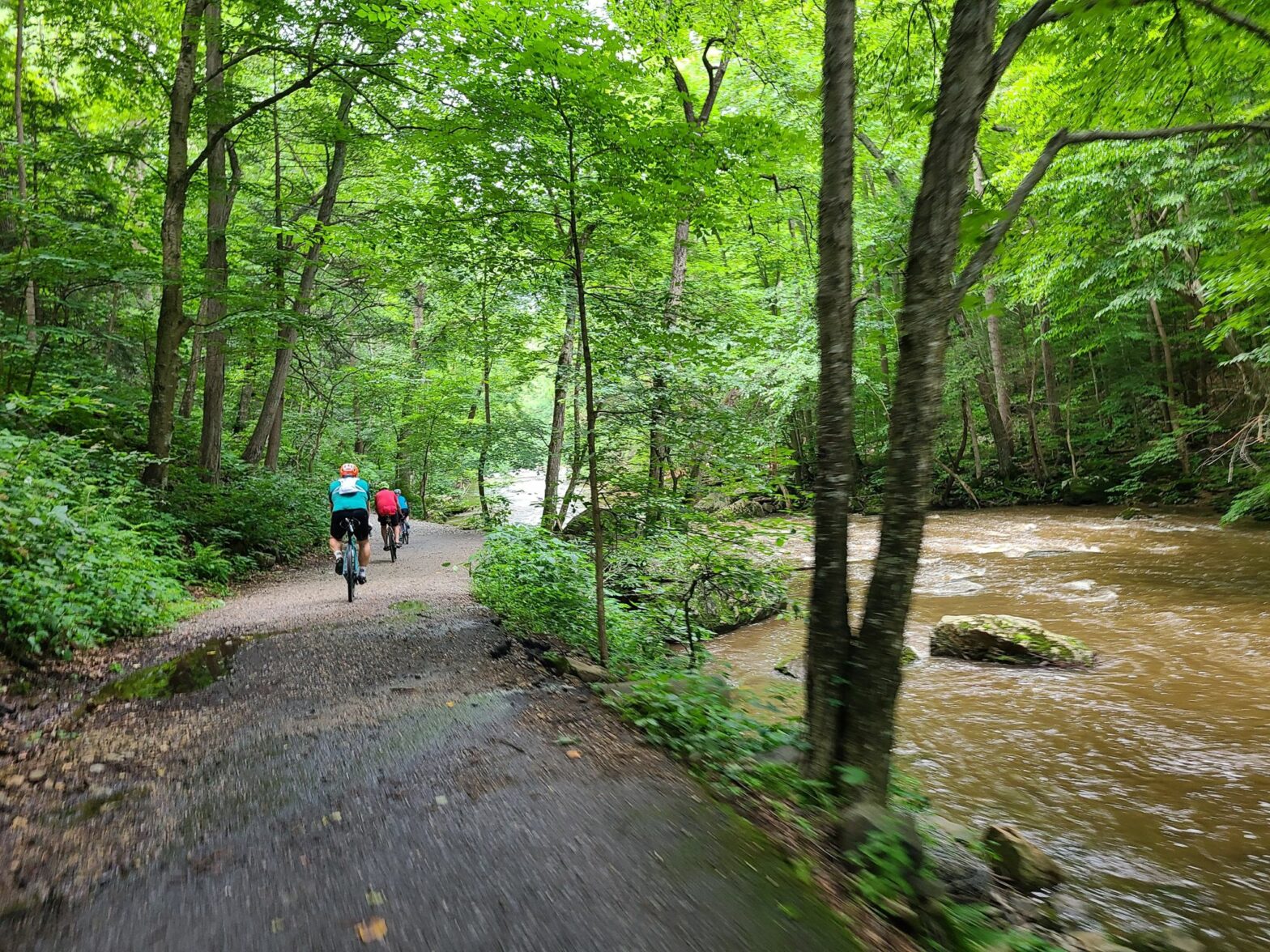
This was an idyllic ride through forests, farms, and scenic ridges, along many miles of rivers and streams. We stopped for apple cider donuts and other delights at mile 14 at Hacklebarney Farms Cider Mill. We arrived before they officially opened (at a rather late 10am), but they came out to greet us and opened up for us anyway. Great folks! Most of our riders completed the challenging loop that goes through the Teetertown Ravine Nature Preserve (miles 21 to 28), which included a satisfying climb followed by a somewhat technical dirt/gravel descent. I say technical because of the large gulleys and washouts across many sections of road, presumably due to recent storms. We regrouped for lunch in Califon, then continued along the Raritan River Rd within the Lockewood Gorge. It was beautiful back there. Just use a bit of caution on the rocky sections and potentially walk them. They are quite short. After the gorge, our ride continued along more beautiful, wooded stream sides. At mile 40, Kathy and I stopped to purchase a quart of maple syrup right from the source (as evidenced by the blue tubing in the woods). It was an on-your-honor, drop in your money, sort of operation. At mile 47, we stopped for cold drinks and snacks at the Oldwick Market/General Store. The last quarter of the ride included hills with great views across farm and forest. Our overall distance was 54 miles with somewhere around 4500 feet of climbing recorded across our various devices.
ROUTE: https://ridewithgps.com/routes/36696613
Important Safety Notes:
Miles 33-36 (Lockwood Gorge): There are short stretches with large rocks that you may want to walk rather than ride.
Mile 21: There is a 6 mile loop that starts here. Half is paved and half is a steep, minimally maintained dirt road/trail through Teetertown preserve. You need to choose your own adventure:
- In the route that I posted (“counter-clockwise”), you end up going down a steep dirt section that currently has washed out gullies, so you’ll need to be careful to avoid gaining too much speed and wiping out. In this direction, the most beautiful part of the loop (Teetertown Preserve) disappears fast because it is all downhill.
- In my old version (“clockwise” around the loop) you have to claw your way up the dirt section, but you get more time to take in the scenery of Teetertown Preserve as you climb. HOWEVER, you also have to make sure you slow down before a very sketchy hairpin turn (paved) on the descent. That hairpin turn is why I reversed the loop for this group ride. I’m not really sure that I made the right choice. So choose your direction and your hazard accordingly! Watch out for the hairpin turn before you reach mile 26 if you choose the clockwise direction. Watch out for the sketchy dirt descent if you choose the counter-clockwise direction.
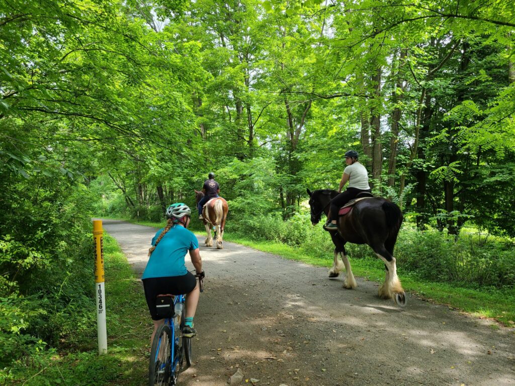
- Horses: The ride ventures onto the Columbia Trail for short stretches. There are a lot of horseback riders who use the trail. Stop and ask the riders before passing. You don’t want to spook a horse (for your safety and that of the rider).
-Steve
