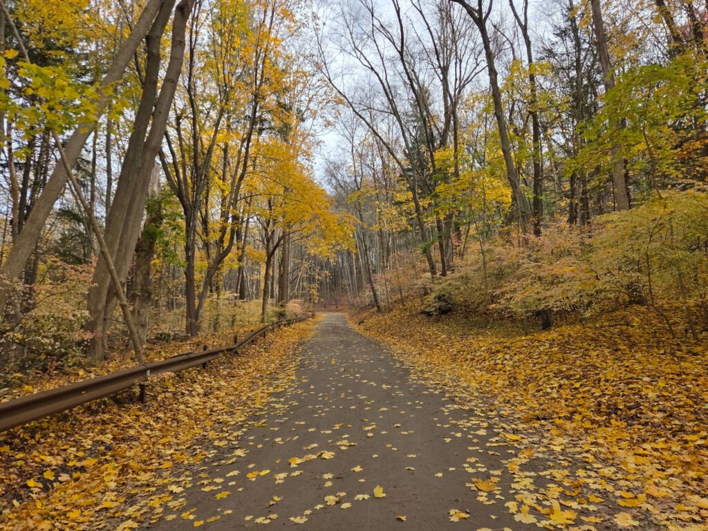
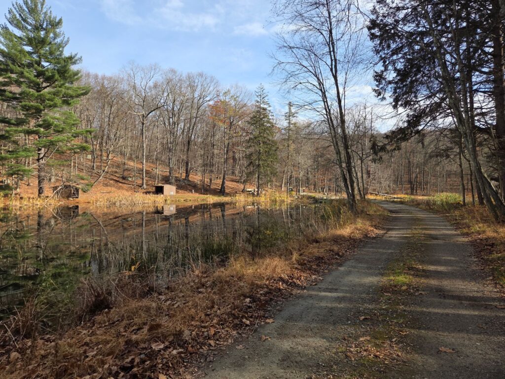
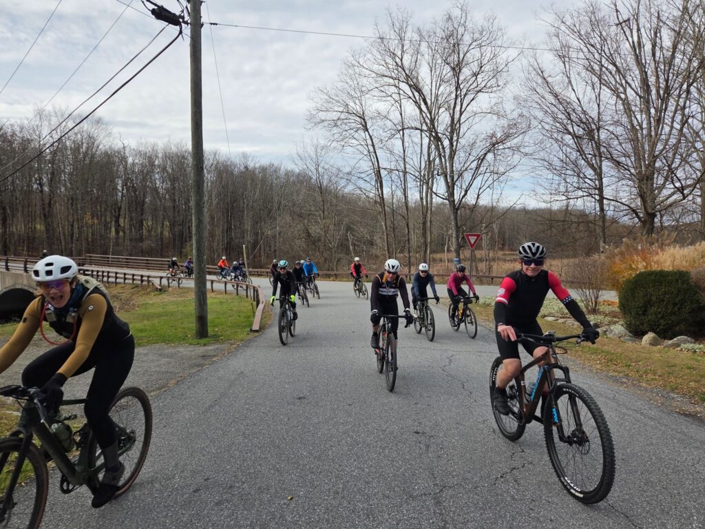
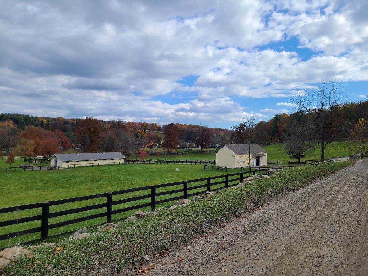
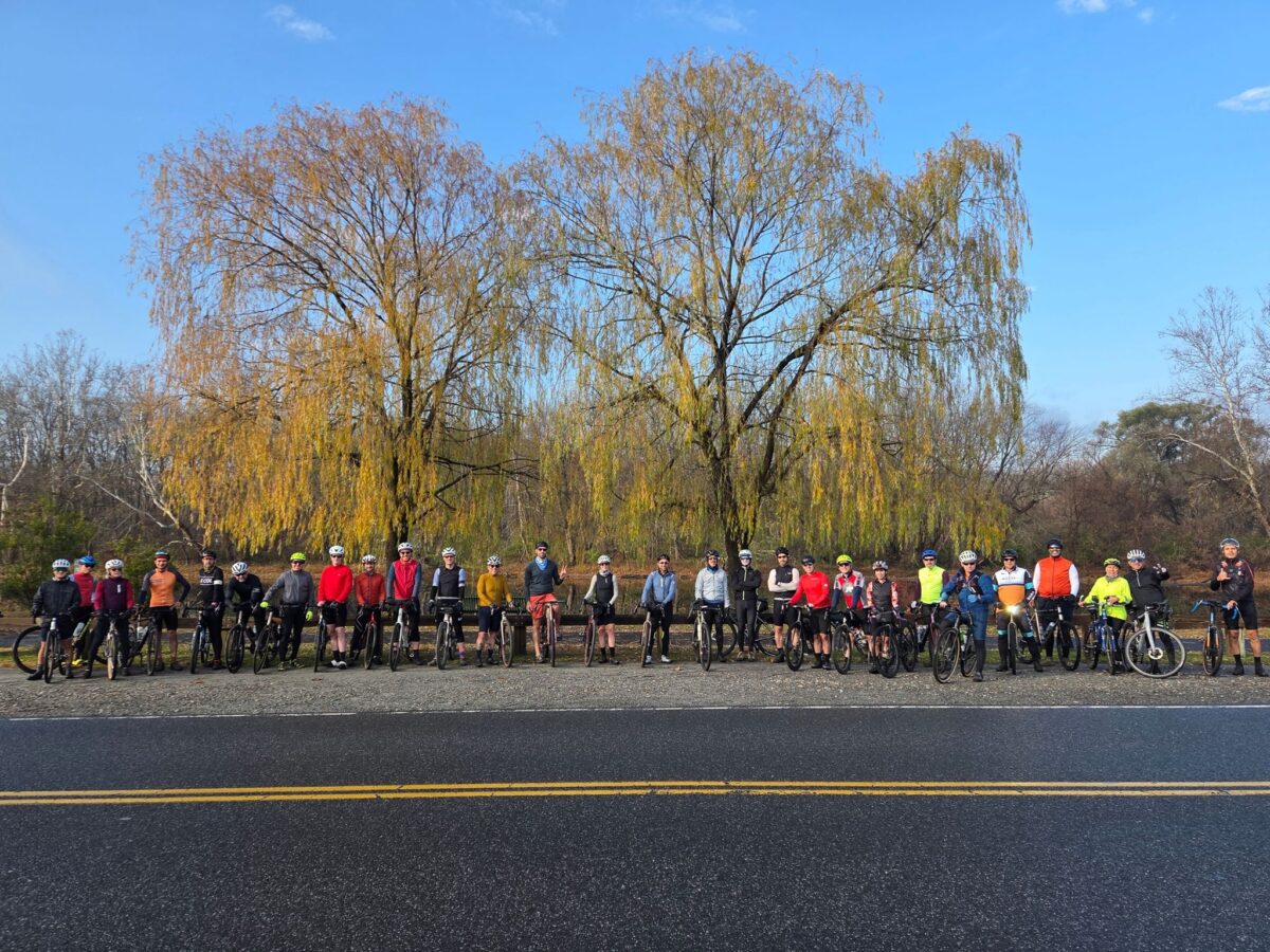
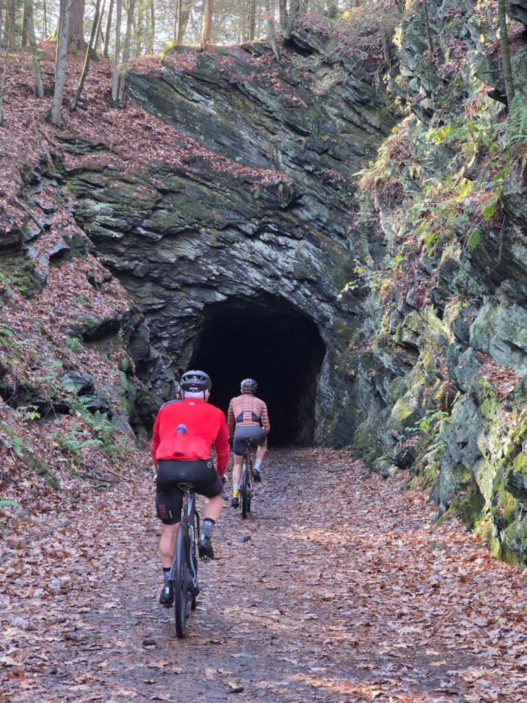
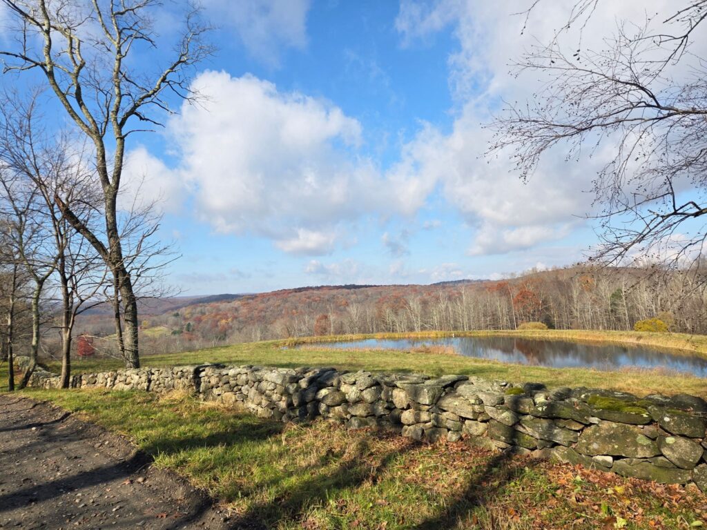
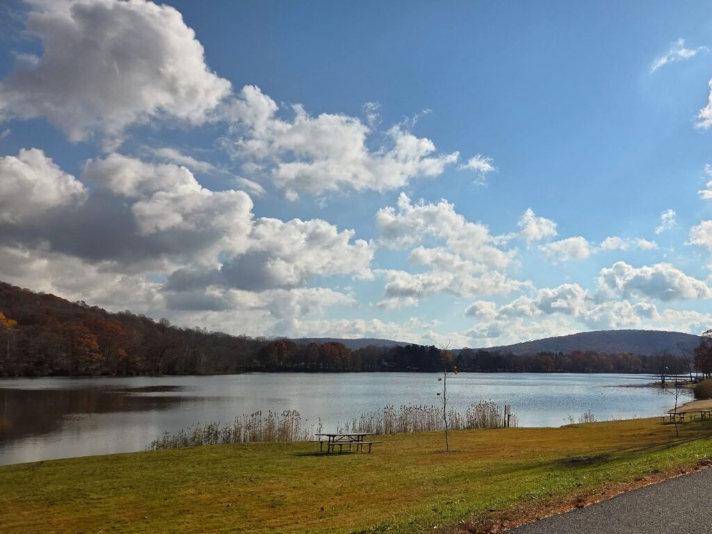
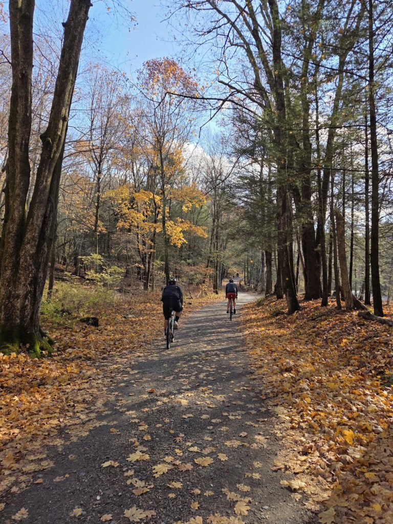
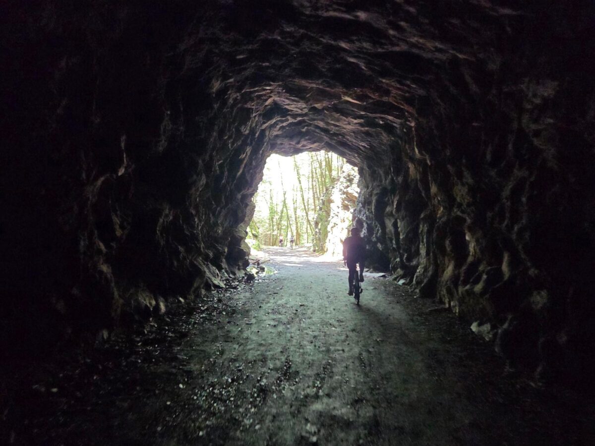
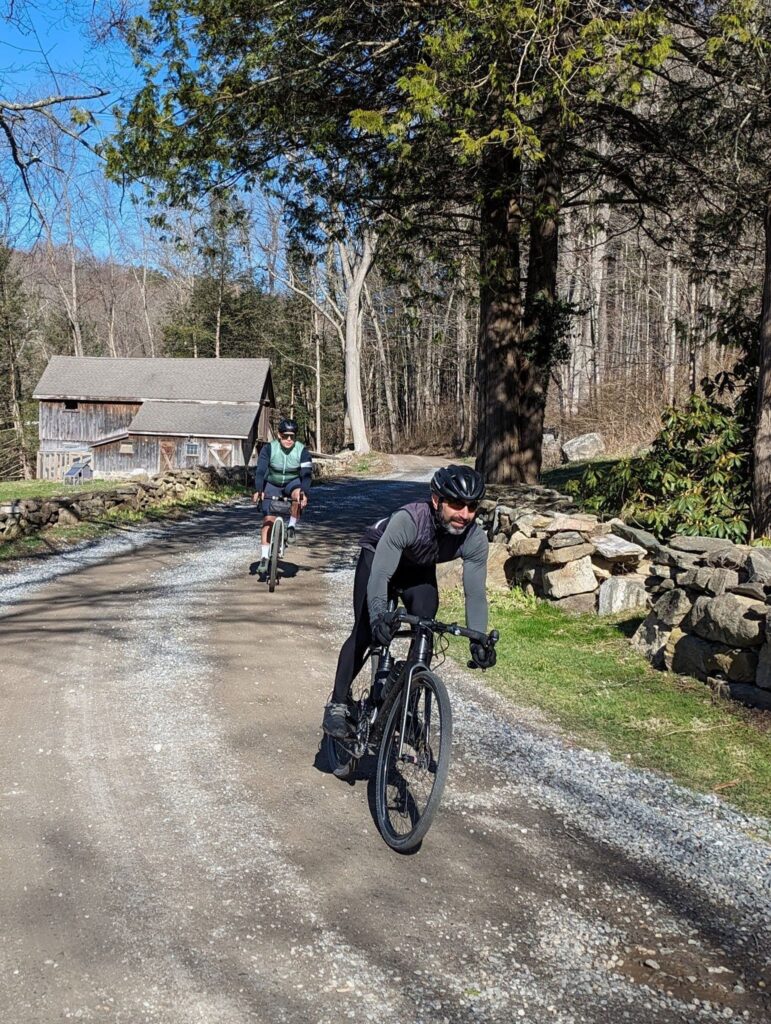
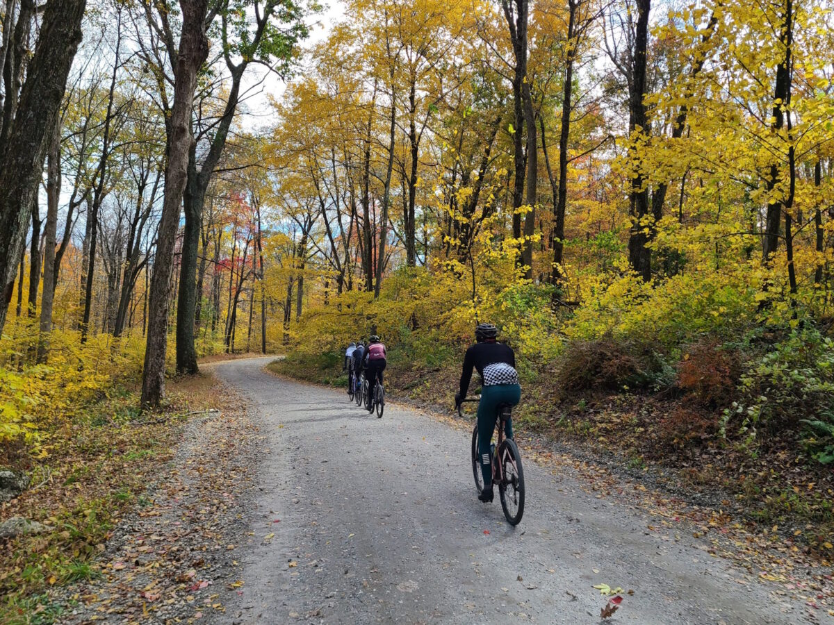
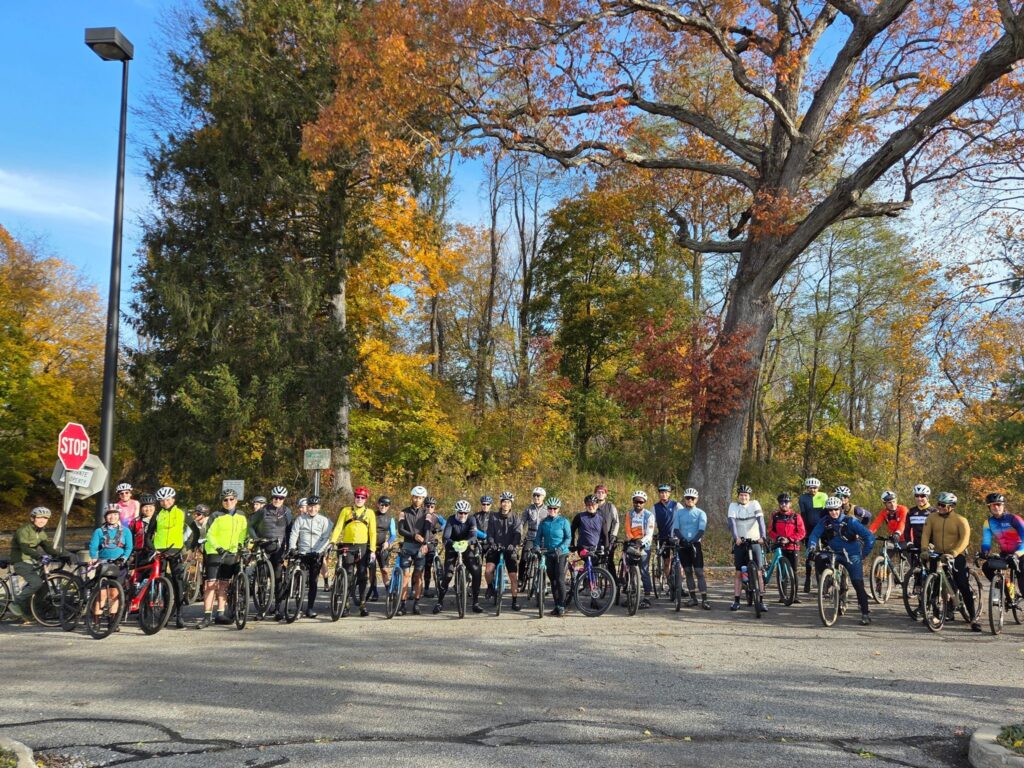
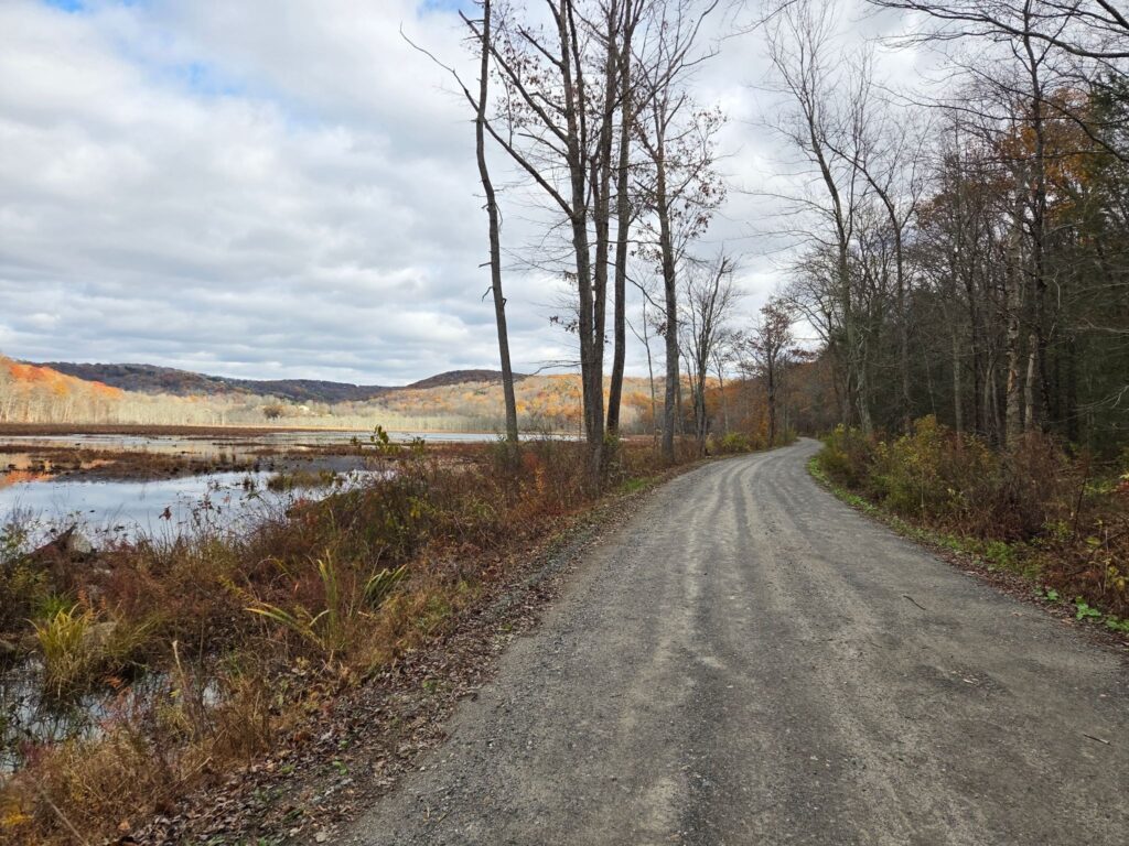
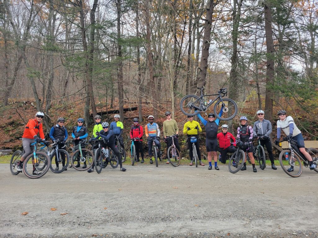
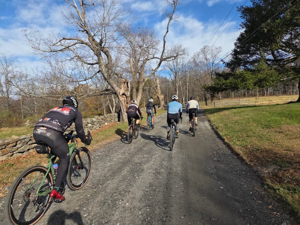
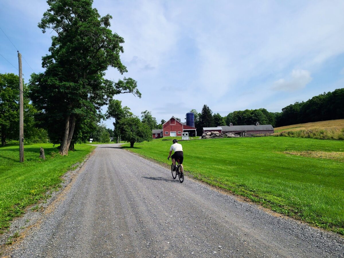
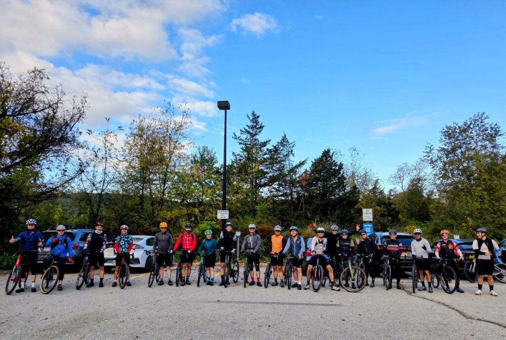
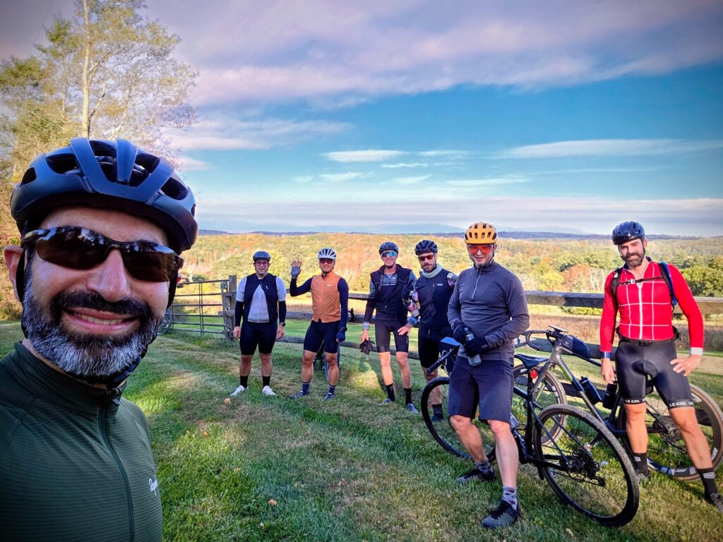
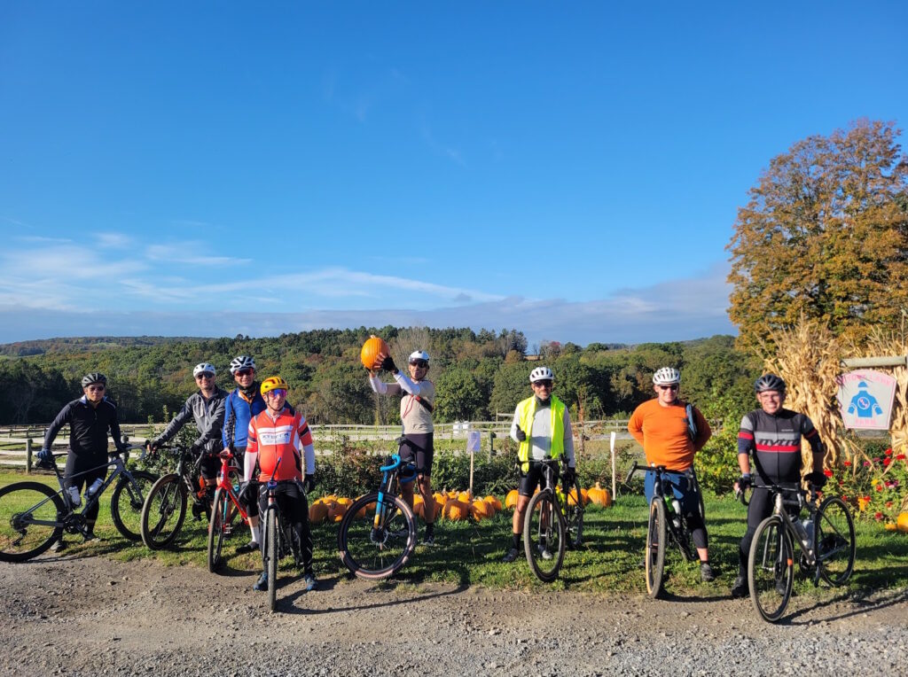
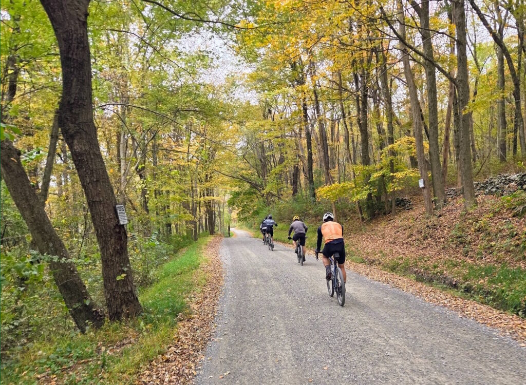
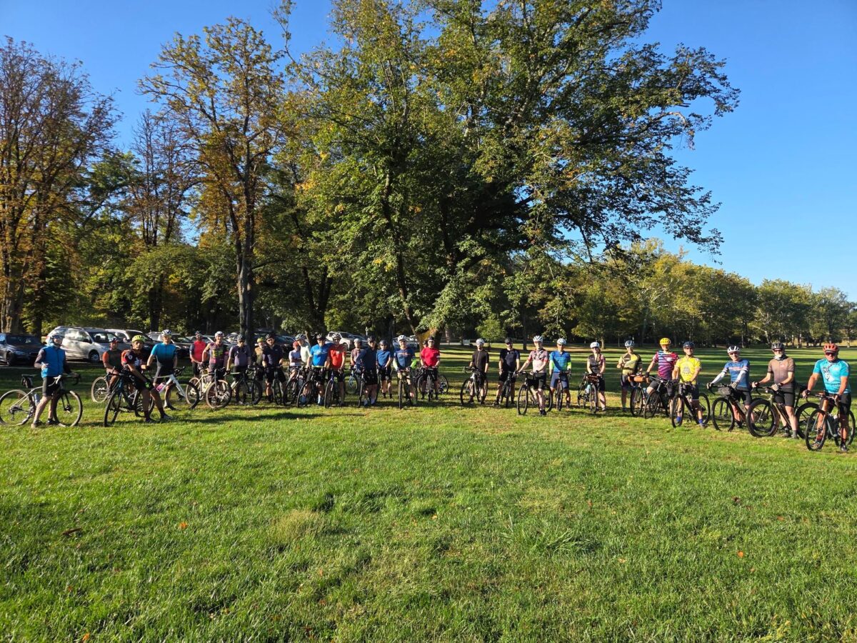
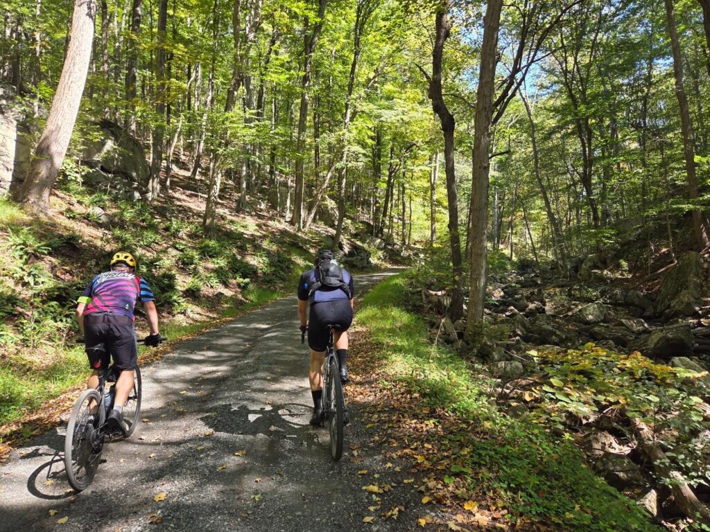
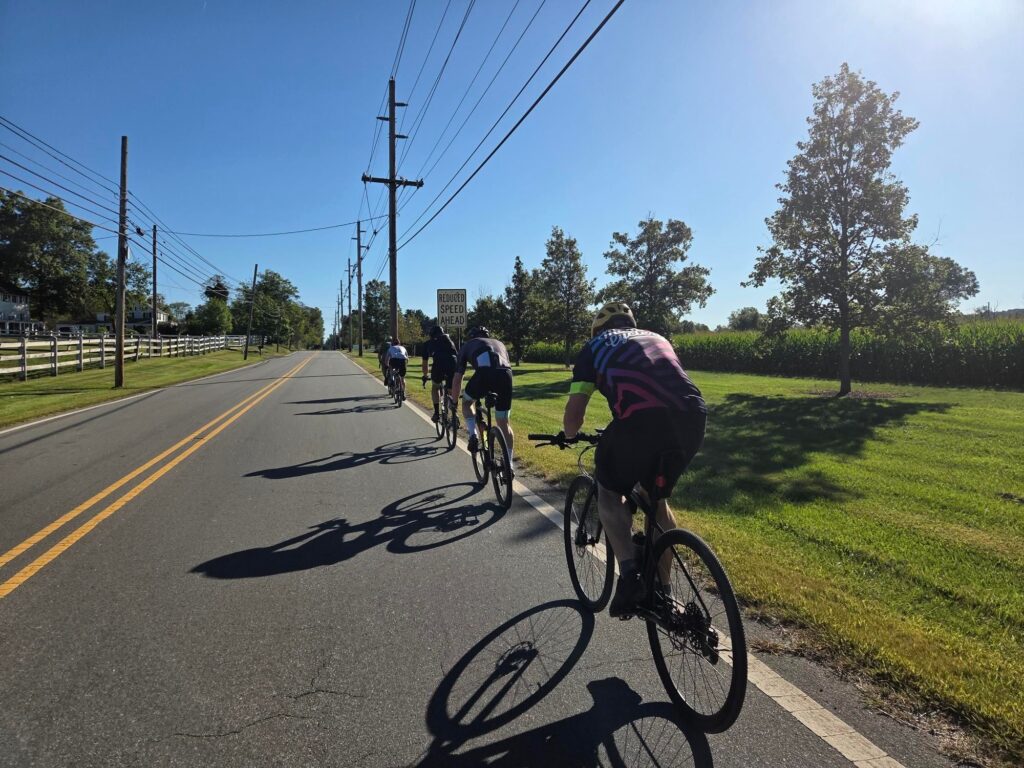
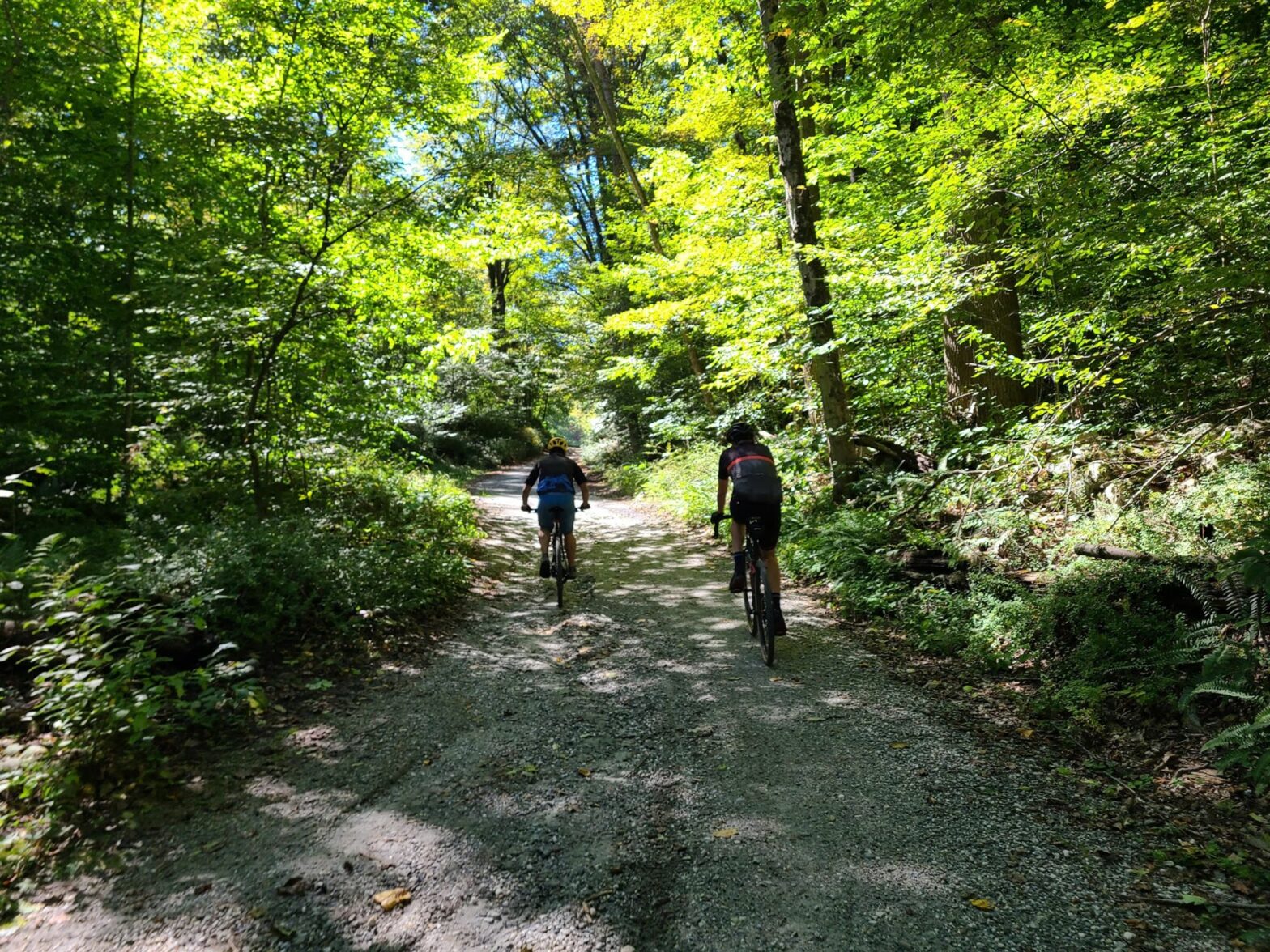
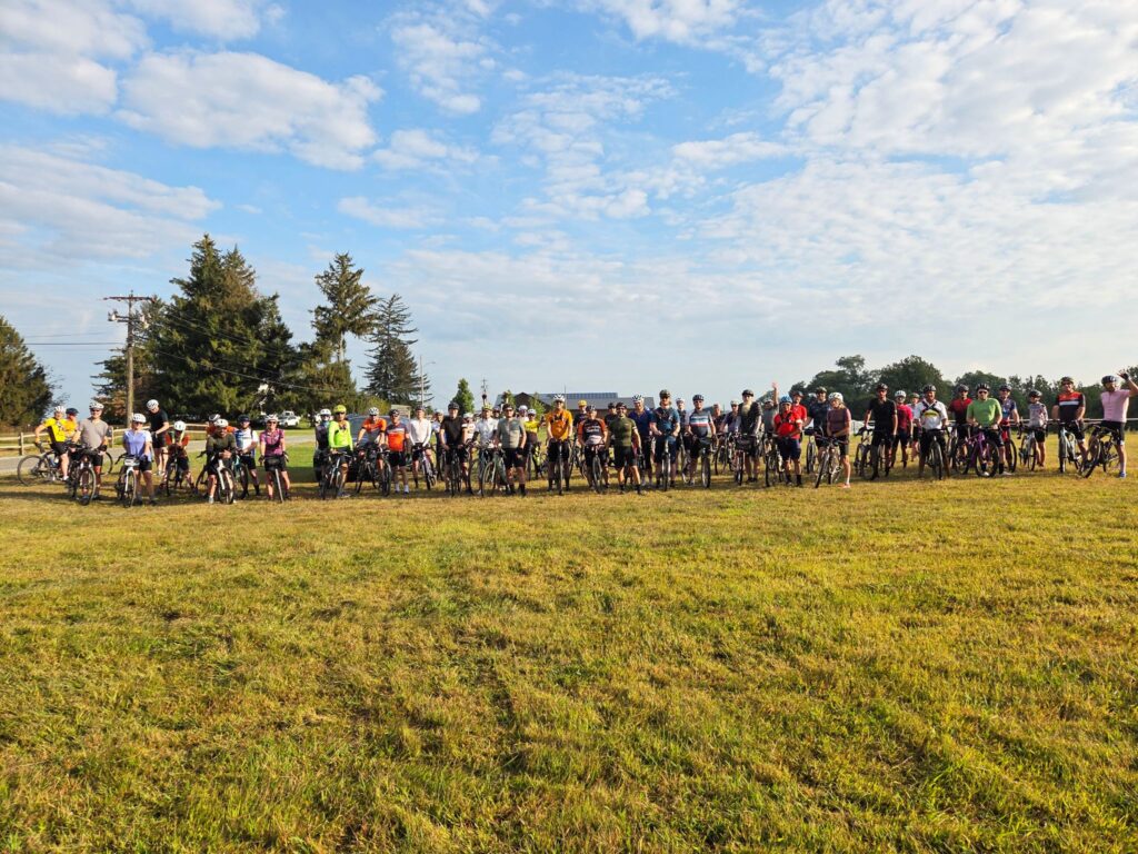
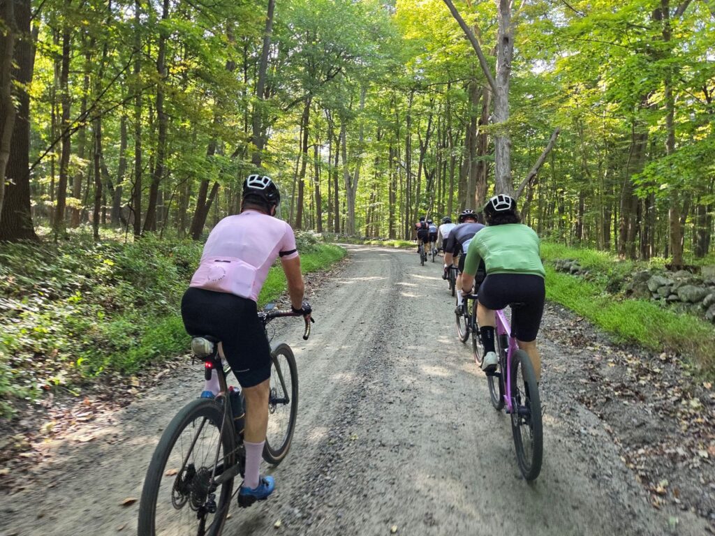
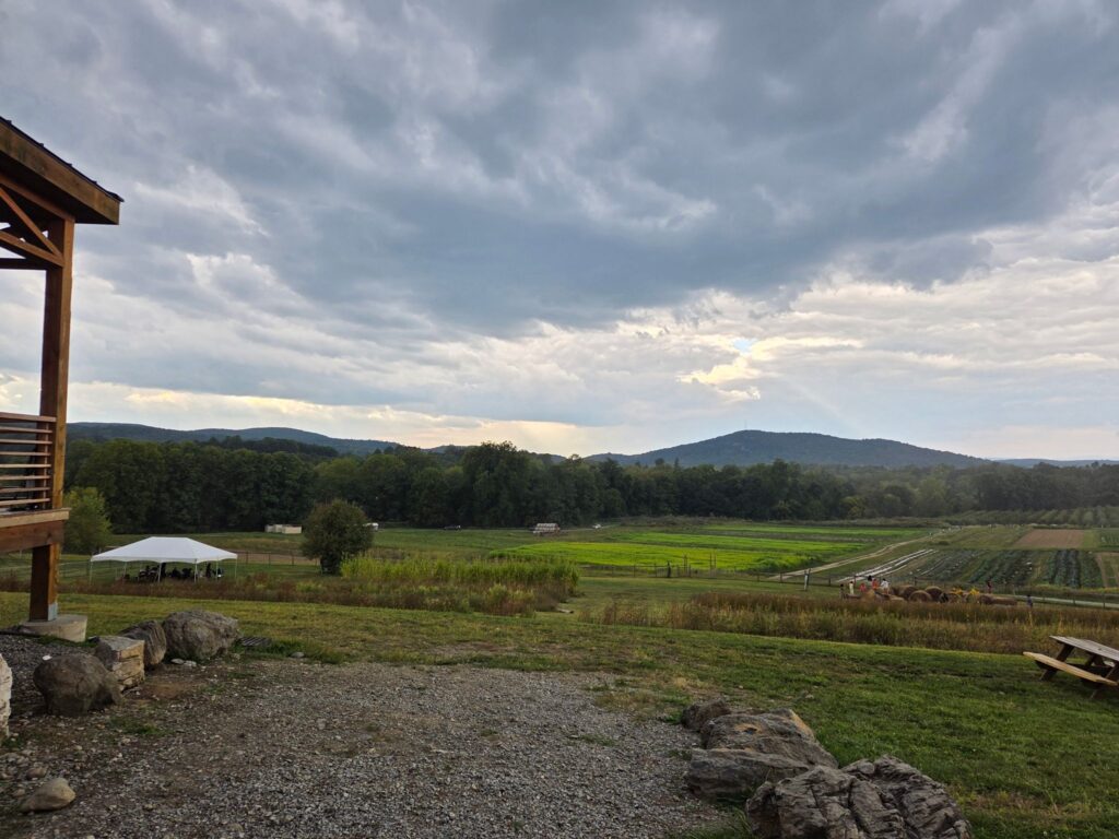
Dutchess Fall Foliage Ride, Saturday October 12 (Missing Links)

*** Photos from today’s ride: https://photos.app.goo.gl/upBdhLG8FD2NWD4a8 ***

(Note: I’m going to delete this link later, so grab it while you can and feel free to add your own photos to the album).

============

Strava is currently stripping external links from their pages. We have posted the links related to our next group ride below.

QUESTIONS? You can email Steve at track.smart@gmail.com, but first see the RSVP link on Strava and GrNY’s tips and guidelines page, which contain a lot of useful information.


ROUTE LINKS:

Long (64 mi, >5300 ft): ridewithgps.com/routes/48709455
Medium (54 mi, >4200 ft) : ridewithgps.com/routes/48708817
Short (42.8 mi, >3400 ft): ridewithgps.com/routes/48708860


GOOGLE MAPS LINKS

Start Location: Dover Plains Train Station.  Use the parking lot on Market Street.  Do NOT use the parking lot on Railroad street.  Google maps link: https://maps.app.goo.gl/eJeZb2fB9N2L6ber7

End of Ride Gathering:  Kelly’s Creamery & Kelly’s Husband’s Food Truck for food and drinks. Google maps link: https://maps.app.goo.gl/HbdpM6W6UNSQeHk4A


You can find details and RSVP for the ride on GrNY’s Strava group: https://www.strava.com/clubs/513005/group_events/1806546


DISCLAIMER: This is totally informal. You ride at your own risk and are responsible for your own safety. You are expected to be self-sufficient. We cannot guarantee the condition or safety of roads and trails. Nor can we control the behavior of other riders. This is not a supported event. We expect everyone to be an experienced cyclist who can repair a flat, carry appropriate food and hydration, and navigate independently if they lose the group.

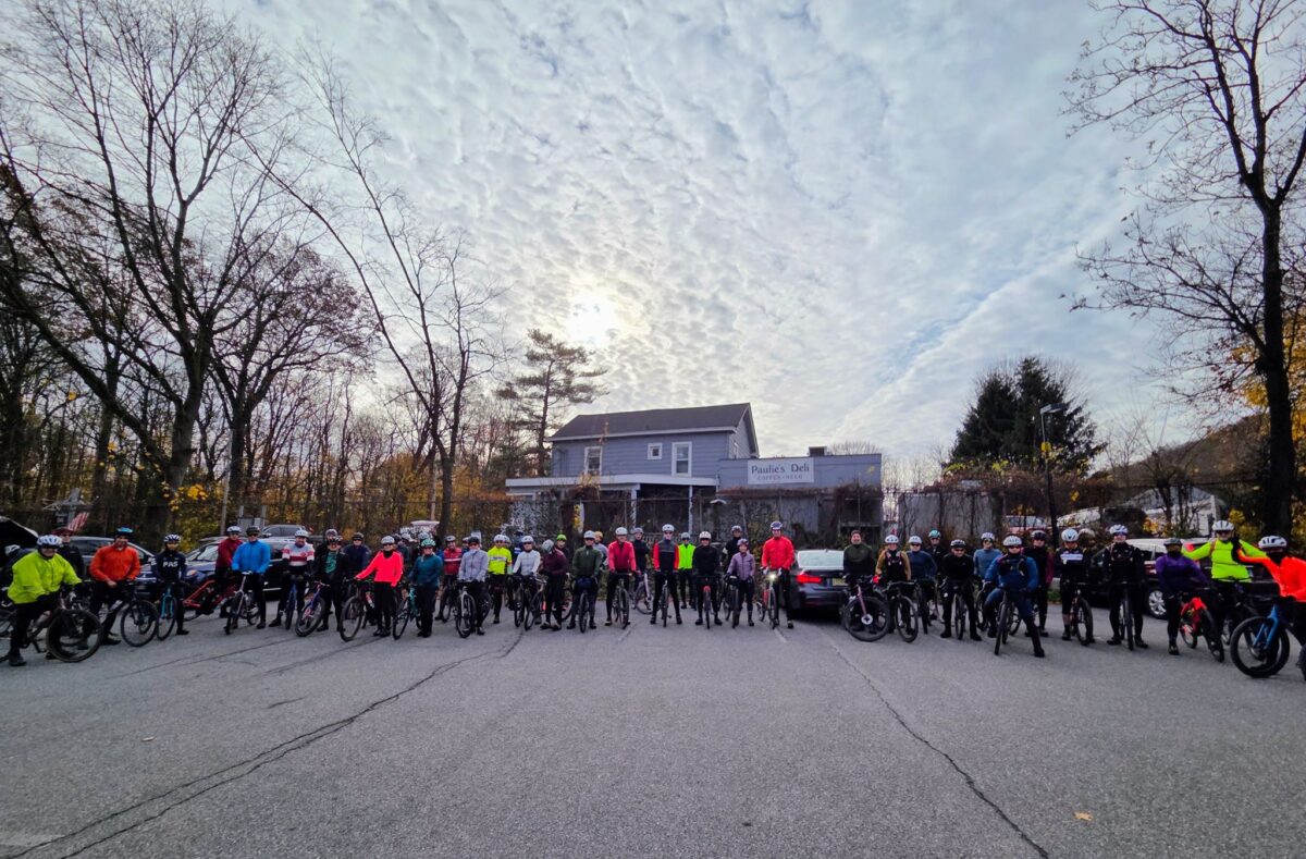
Summer’s Last Hurrah – Katonah to Carmel Hamlet

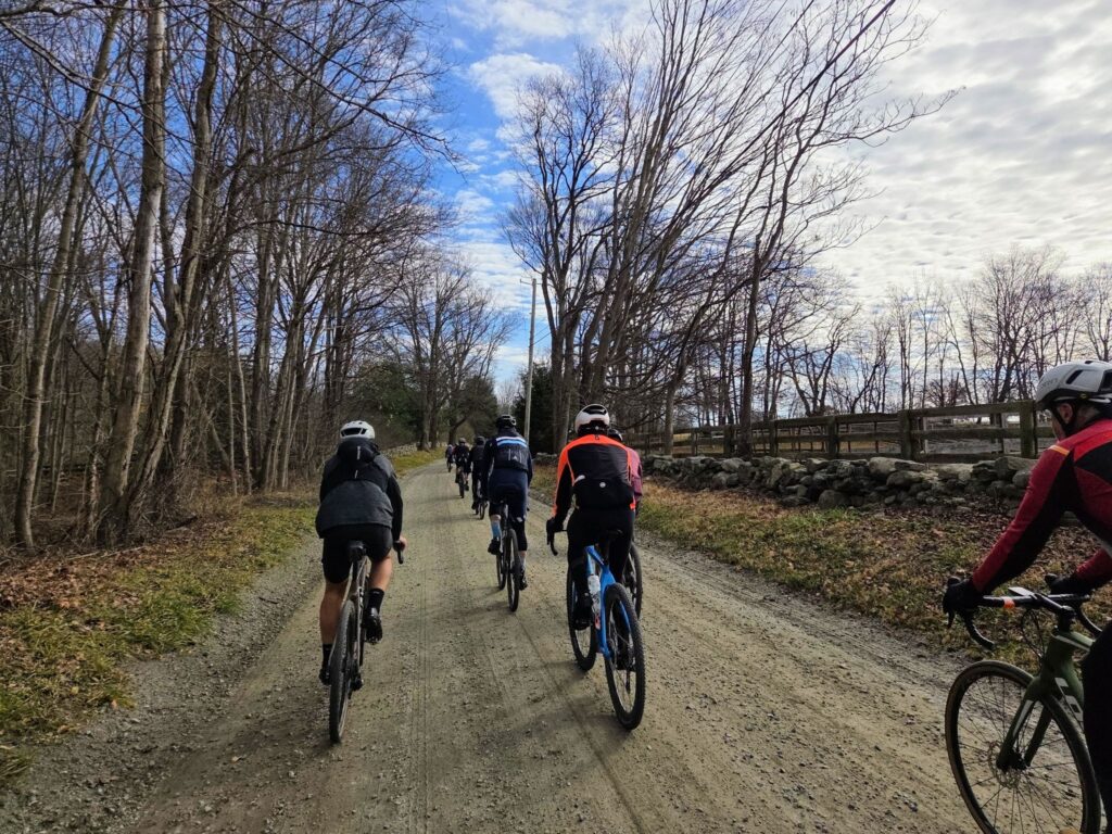
Summer weather returned for this weekend, so we decided to get the band back together for another three-speeds ride! It was a lovely ride on beautiful rolling roads in Westchester. We traversed forests, reservoirs, and horse country estates. This was a bit of a “groad” ride (more pavement and less dirt), but it allowed us to visit some places we seldom travel in our other Westchester rides. The long, medium, and short distance groups all had plenty of riders and everyone had a great time. Many of us gathered at Paulie’s Deli after the ride for some well-deserved drinks and food. Thanks to everyone who joined us today and added to the fun!

ROUTES
-Long (66mi/>5000ft): https://ridewithgps.com/routes/48389478
-Medium (59mi/>4200ft): https://ridewithgps.com/routes/48389607
-Short (45mi/>3200ft): https://ridewithgps.com/routes/48389755

Steve’s Strava Post: https://www.strava.com/activities/12409971731

Berkshires Gravel Century from Wingdale, NY (Mt Riga, Mt Everett and Sunset Rock)

Spectacular day of riding with some GrNY regulars. We had perfect weather and a beautiful course! This ride included the core of the Berkshires-Riga-Sunset Rock route, but we started in Wingdale, NY, which is closer to NYC. The route includes an optional spur (mile 50, in blue) to the top of Mt Everett. Everyone was feeling good and did the extra climb, though not everyone maintained traction for the steepest section near the end (i.e., a few riders needed to walk a short distance). The road up to Mt Everett is steep, particularly the last 0.5 mile dirt section near the top, but there are good views as payoff.

Route (110 mi, ~10,000 ft): https://ridewithgps.com/routes/48334310

Steve’s Strava Post: https://www.strava.com/activities/12362495208

The route was beautiful from end to end.

Along the Mt Everett climb.

October Mountain Gravel Century (Berkshires)

We were originally targeting Sunday for this ride, but Saturday’s upcoming rain was going to make that a bad idea. Instead, a couple of us took Thursday off and we queued up a different Berkshires century ride for Sunday!

This route (October Mtn) was a gorgeous mix of deep woods, open vistas, smooth dirt, rough dirt, and some double-track and jeep-road adventure mixed in. About 85 miles was new exploration for GrNY, including the lovely October Mountain area. Note that conditions will change greatly if the weather has been wet recently (i.e., expect deep puddles, mud, and stream-bed-like sections), so choose your timing for this route accordingly! We chose a period of dry weather. Also consider whether to bring larger tires for the rougher sections. Steve was on 40mm gravel tires, but he would have appreciated fatter tires in places. Please use caution on the rougher parts, particularly the descents.

The route travels from North Canaan, CT to October Mountain State Forest in Massachusetts and includes all of the dirt from F2G2 (Fall Foliage Gravel Grinder) and a lot more. Expect ~65% dirt roads by distance, but probably 75% dirt by riding time.

Here’s the route (with some warnings you should heed in the route description): https://ridewithgps.com/routes/48256312

Here’s Steve’s Strava Post: https://www.strava.com/activities/12336524065

Some forest double track.

WARNING: You’ll hit this partway down the descent of Brace Rd. It is more like a loose streambed (dry at this moment) than a road.

Views from Anderson Vista in October Mountain State Forest.

NEW Jersey Dirt – Featuring Fresh Dirt Routes from David S.

Awesome day on the bike in NJ. Our thanks to David S. for cooking up some great new routes for us! And a second thanks, for being our personal guide (for the Long Distance group) with interesting facts, real-time hazard warnings, local history, and making sure we got up-close and personal with the Buffalo in Readington! All three pace groups (short/medium/long) arrived back at Burnt Mills Park at about the same time (just a few minutes apart). Everyone rode hard, enjoyed the excellent scenery, and most people stayed after the ride for cold drinks and homemade baked goods courtesy of Kathy. Thanks everyone for making it a fun day!

ROUTES:
– Long: https://ridewithgps.com/routes/47183096
– Medium:https://ridewithgps.com/routes/47183729
– Short: https://ridewithgps.com/routes/47183731

Steve’s Strava Post: https://www.strava.com/activities/12241042261

Steve leading out the long distance group.

Some views from our route.

Up close and personal with the buffalo of Readington.

All the Gravel Roads in Westchester in One Ride (well, almost all of them)*

Super fun and chill gravel century with a few GrNY riders. It’s been two years since we attempted the “full version” (100+ miles) of our “All the Dirt Roads in Westchester” ride. It was time for a revisit on this beautiful day! Some extra detours were required this time, due to the road construction in the northern part of our ride near North Salem, but we managed to get just about all of the dirt, none-the-less.

For those who don’t need to be quite as completionist, the 88-mile version of this route has a slightly higher proportion of dirt and fewer random out-and-back spurs:
https://ridewithgps.com/routes/44840039
[Warning: At this moment, you won’t be able to ride the route above due to construction in the northern part! See what we did in Steve’s Strava post for how to get around the construction and still catch most of the dirt in the north.]

The 88-miler is probably, in objective terms, a better route, but there’s something fun about the madness of trying to get ALL OF THE DIRT in one ride! Yes, there are a few bits of dirt road further away in southern Westchester, etc, but you need to draw the line somewhere. At some point you want the ride to be heavily biased towards dirt, rather than 75% pavement and 130+ miles of total distance, just to squeeze in a couple of miles of missing dirt roads.

[* All of the reasonably connectable dirt roads, so >95% of the total. We ignored forest trails and multi-use paths. We were shooting for actual dirt roads. We also avoided private property and a few, short dead-end streets that are practically driveways.]

Routes (BEWARE OF CONSTRUCTION CLOSURES NEAR NORTH SALEM. YOU’LL NEED TO MAKE DETOURS UNTIL THAT IS DONE)

107-mile version: https://ridewithgps.com/routes/37819854

88-mile version: https://ridewithgps.com/routes/44840039

Steve’s Strava Activity, which shows how you can detour around the current construction: https://www.strava.com/activities/12165575605

The exclamation points (!) show where there is ongoing construction in North Salem that you’ll want to avoid with some detours.

Sherman, CT to Dover Plains Gravel Ride

Beautiful ride on a perfect summer day. We had routes queued up ranging from 41 to 106 miles. There was a surprisingly big crowd for the longer distances. Most of the riders at the start joined for the 80-106 mile options. We had two smaller groups who enjoyed the medium and short distance options, respectively.

For the longer distance groups: A group of us cut back a bit early from the 106-mile loop, since we had a couple of riders whose legs were toast and/or cramping up. We certainly didn’t feel short-changed by our “only” 91 miles of beautiful riding (versus the possible 106). We took the last part at a nice, easy, and highly enjoyable pace. While the rest of the group grinded out their final miles, we were enjoying cold beers, burgers, and live music at the Housatonic River Brewery. Those of us at the brewery were all pretty satisfied with that choice! Thanks to everyone who came out today!

Longer Routes:

106mi, >10,000ft: https://ridewithgps.com/routes/47941045
86mi, >7,000ft: https://ridewithgps.com/routes/47940089
80 mi, >6500: https://ridewithgps.com/routes/47941324

Medium Route (52 miles, >4000 ft): https://ridewithgps.com/routes/47927290

Short Route (41mi, 3000ft): https://ridewithgps.com/routes/47928659

Steve’s Strava Post: https://www.strava.com/activities/12123560711

Long-distance (i.e., faster) pace group riding along.

Riding through Macedonia Brook State Park.

Hot Gravel from Cold Spring

This was a fun ride with a great turn out! Thanks everyone for joining us on this Sunday. Summary: We did all of the climbs and the Long Distance (i.e., faster) pace group added ~6 miles of trails in Fahnestock State Park. The School Mountain Trail loop was beautiful and not too technical, though certainly rougher than our typical dirt roads. This fun diversion caused our longer-distance group to return later than the other two distance groups. Live and learn! We’ll have to account for the slower speeds in that section if we include it on future rides. Bigger tires are recommended for that trail section, though you can manage on normal gravel tires if you use some caution. Many riders stayed after the ride to celebrate over cold drinks and snacks by the river. Thanks for those who shared your photos — some of which are represented here!

In case you are wondering about the title: It was a hot summer day, so we started early and chose a loop that mostly stayed in the shade of the trees.

For those thinking of riding any of these routes on your own, be mindful of the elevation gain. Even the shortest route has a lot of climbing! According to many of our devices, the longer route traversed over 7,000 ft of climbing in just 56 miles. You have been warned!

Routes:

Long: https://ridewithgps.com/routes/47680882
Long Without Trails: https://ridewithgps.com/routes/47691283
Medium: https://ridewithgps.com/routes/44307851
Short: https://ridewithgps.com/routes/44307940
Bailout (all groups): https://ridewithgps.com/routes/42990486

Steve’s Strava Post: https://www.strava.com/activities/12005088156

Entering the School Mountain Trail loop in Fahnestock State Park

Kathy leading out the medium-distance group. We also had a faster “medium+” group and a shorter-distance group that travelled at an easier pace.

View from the School Mountain Trail loop.

Black Rock Forest Adventures! Scouting for Future GrNY Rides

This ride was under the radar: Steve sent an GrNY email to riders who typically join our longer distance group. Key information: Bring the biggest tires you’ve got for your gravel bike and understand that we are riding into the unknown. I have NOT posted a complete route yet, because key connecting roads have not yet reopened (namely Storm King Highway), but they are supposed to open this fall. Expect to see a GrNY ride at that time.

Scouting report: It was definitely an adventure — and a lot of fun! Black Rock Forest has always been a favorite spot, but was badly damaged in the storms from July 2023. I’m pleased to say that all of the roads they list as “maintained” are back in action and still a lot of fun on the gravel bike, particularly if you bring the big tires. These are not Westchester Dirt roads! They are mildly maintained jeep roads. My thanks to Nick, who scouted the eastern side the day before and gave us the heads-up that Old West Point Rd (another unmaintained jeep road) was an overgrown mess. That’s one bit of exploration we didn’t need to do on our own! Thanks to my fellow riders for joining me on this adventure — it was way more fun with some company who were ready for a bit of the unknown!

[As an aside, we started the day with a trip up Bear Mountain, since we were passing next to it and a couple of riders hadn’t ridden it yet. It’s always an enjoyable and nicely-graded climb.]

I have added an annotated map of Black Rock Forest to this post. It shows which jeep roads are in decent shape. Check marks = Good. All of the jeep roads marked in blue were enjoyable to ride — assuming you expect some rough conditions and are up for some adventure. Steve has done all of these jeep roads on skinnier rubber (e.g. 35mm slicks!), but it’s a lot safer and more enjoyable on bigger tires. Steve was riding 2.2″ 650B tires at ~20 PSI and did not regret it, though one of our group members was riding 38s and managed okay.

Blue trail color = enjoyable to ride on a gravel bike, assuming you expect some rough conditions and are up for some adventure. Red X’s = rough and overgrown with vegetation. Definitely not fun or recommended.

This is what it’s like in those sections we marked with red X’s on the map. I have no idea what is under that vegetation. We rode most of it, hitting rocks, branches, holes, and hoping we wouldn’t get knocked off our bikes. It might be worth riding after the vegetation dies down and the snow has melted. Snow melt often takes several weeks longer here at Black Rock Forest than other places in the region.

GrNY Lake Waramaug Gravel Ride: “Bears, Bobcats, and Hawks, Oh My!

This is a variant of one of Kathy’s favorite routes in Litchfield County, CT. The riding is spectacular here and includes the scenic shoreline of Lake Waramaug. Everyone enjoyed the ride, which was not as dirt oriented as many of our rides, but made up for it with good views and quiet country roads.

The long-distance group had some good wildlife spotting: A young bear running down the road in front of us (we were watchful for where mama bear was hiding!), a bobcat later in the ride, and a hawk that flew right in front of us at eye level, among other encounters.

Our usual three pace groups were present. All of the groups ended at almost the same time, having travelled different distances. We even had some mid-ride hanging out at our first water-refill spot on Lake Waramaug. Many riders hung around for cold drinks and snacks at the end. We picnicked next to the river in New Milford.

Note: This ride required driving to the start location. There are no trains to New Milford. We could have started elsewhere (e.g., Pawling), but trains would not have arrived until very late in the morning. We needed to start early given how hot it was predicted to be on this summer day.
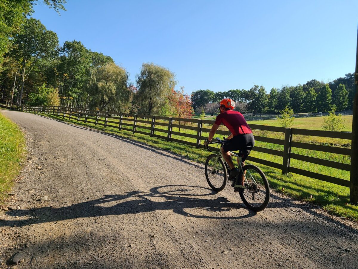
Routes

Extra Credit: https://ridewithgps.com/routes/43692320
Long: https://ridewithgps.com/routes/43691565
Medium: https://ridewithgps.com/routes/42464289
Short (v2): https://ridewithgps.com/routes/47183661

Steve’s Strava Post: https://www.strava.com/activities/11888393334

Views from above Lake Waramaug.

Young bear on the road! Not a tiny cub, but it definitely looked too small to be solo. We took care to give lots of space in case mama bear was around (hence the blurry zoom photo).